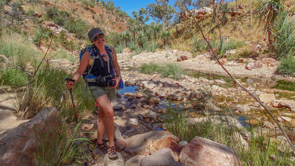
Day 21: From Durak River to Drysdale Station

Author: Mrs A

Distance: 92km

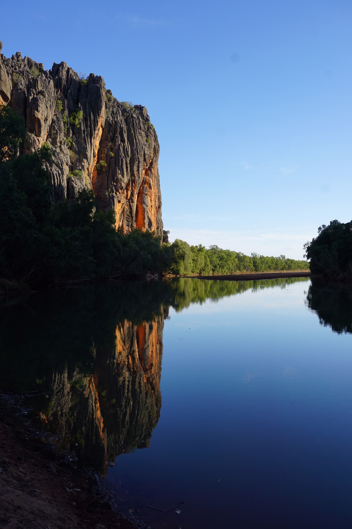
We left camp by 7.30am and almost immediately were crossing the Durak River – absolutely still and stunning in the early morning light. Apparently it is inhabited by crocodiles but unfortunately we didn’t spot any on our drive across. On the other side of the river, we were following the grader, a large truck smoothing the road. Such a shame he hadn’t done the piece of road that tore up our tyre yesterday afternoon, but that’s fate. Our first destination for the morning was Ellensbrae Station, a large cattle station which also offers camping, accomodation, scones with jam and cream (!!) and most importantly for us, a tyre repair service.


As we drove off the dusty Gibb River Road, it was like seeing an oasis. A building shrouded in borganvillia flowers among green grass and leafy, shady trees, and flocks of birds everywhere. We chatted to the tyre repairer who took a look at the tear in our Mickey Thompson Tyre (we thought were invincible!) and told us firstly, he had no spares to sell us that were the same size, and secondly, that he thought it was too big a tear to repair – his usual size being about 1cm wide, and this being about 4cm!

We retired to the veranda for scones, cream and jam (Mr A) and a ham and tomato toastie (me) while he took a closer look. Unfortunately he confirmed that the tear was unrepairable, and called ahead to the next cattle station, Drysdale, to see whether they had a tyre they could sell us. Fortunately they had, and put it aside for us. We farewelled Ellensbrae and set off for another 3.5 hours drive to the next station, their closest neighbour! 


It’s so interesting chatting to people in these parts. During the wet season (October to April) most of these cattle stations are completely cut off from the rest of the world, the Gibb River Road being completely impassable by multiple floods. Often the only person they would see would be the Australia Post delivery man who flies in via light aircraft and lands on their property once a week to deliver the mail and parcels – it sounds like they do a lot of online ordering to ensure he arrives regularly!

We drove on relatively sandy roads to Drysdale Station, but they were hard going, being extremely corrugated. Everyone gives you different advice – one couple we met suggested we should dive no faster than 55km/hr on these roads and we are sure to come to no grief…meanwhile the folks who tried to repair our tyre yesterday (and perhaps inadvertently made the tear worse…) told us they drive at 110km/hr! We took the slower option, which is perhaps bumpier, but ensured we arrived in one piece.

Arriving at Drysdale we again met up with a couple of other campers we had met before at El Questro, and had lunch at the bar – Mr A opting for the ‘biggest burger in the Kimberley’ – beef, tomato, egg, bacon, cheese, pineapple, beetroot and iceberg lettuce in a bun. And he managed it too!


We purchased our new spare tyre, not the same brand, but the right size at least, and should see us through if we had another issue, and also decided to book on a flight out to the Kimberley coast and over Mitchell Falls tomorrow morning. It’s expensive, but around a 2 hour flight with only two other passengers, we feel that $450 a head is worth it, and much less stressful than another 160km drive each way on corrugated roads to see the falls on foot. 

We are now showered (temporarily clean and not covered in orange dust!) and settled in for another early night – the sun sets early in these parts (by 5pm) and the dust makes your eyes sting – it’s not too hard to turn in by 9pm!

Day 20: El Questro to Durak River – ‘The day of the puncture’

From: El Questro Station

To: Durack River Crossing

Distance: 135km

Author: Mr A

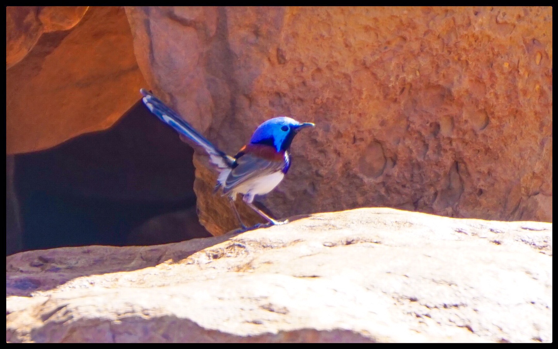
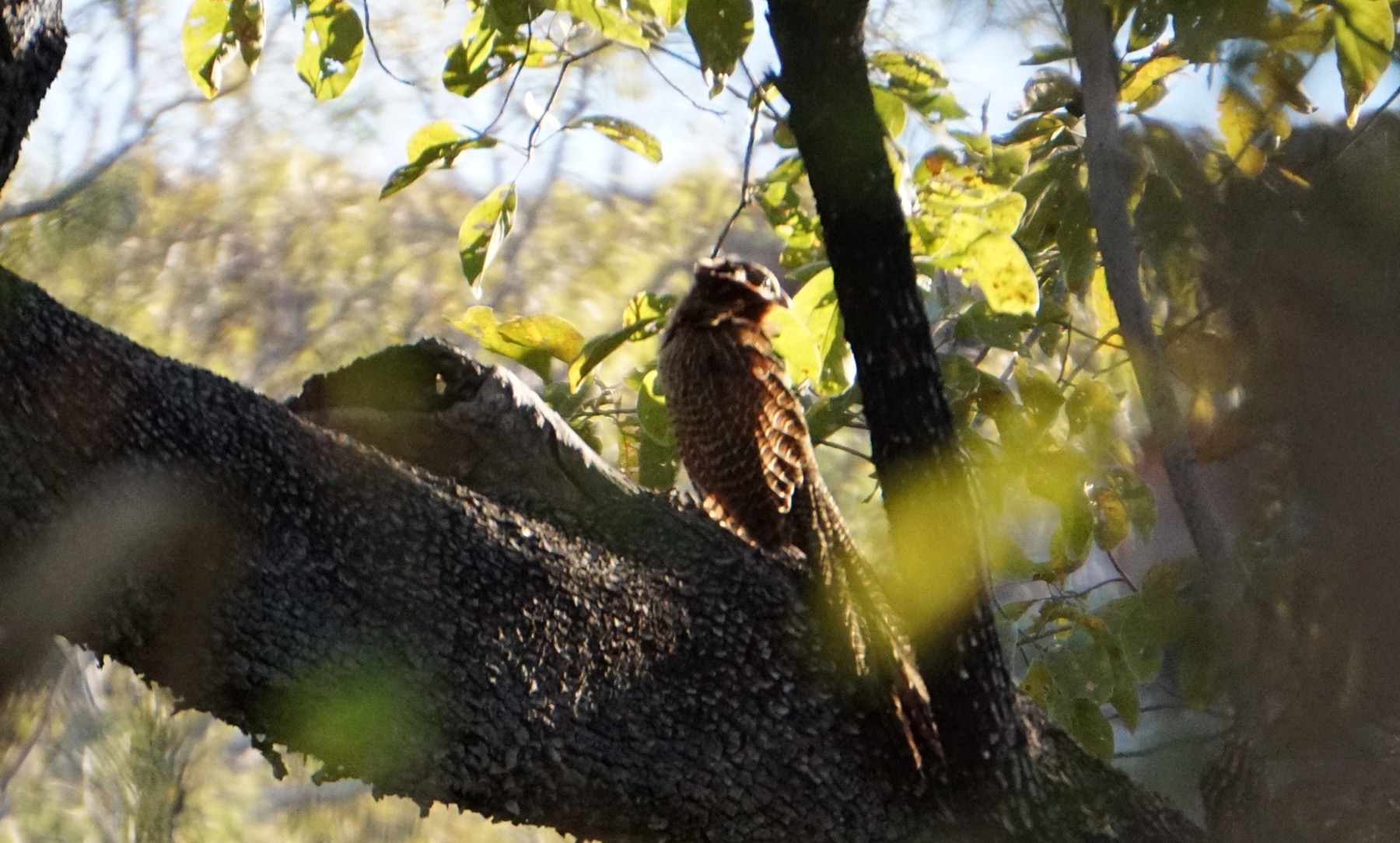
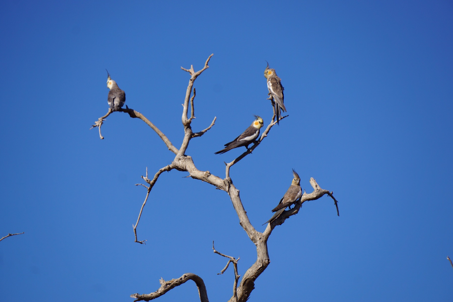
Forever to be known as “puncture Sunday” – yup – bound to happen to us – as it did to so many others we saw by the side of the road. More of that in a minute, first the positive things. Catherine spotted some Brolgas (large storks with red heads) and went to investiagate with camera, only to find a tree full of cockatiels as well! 
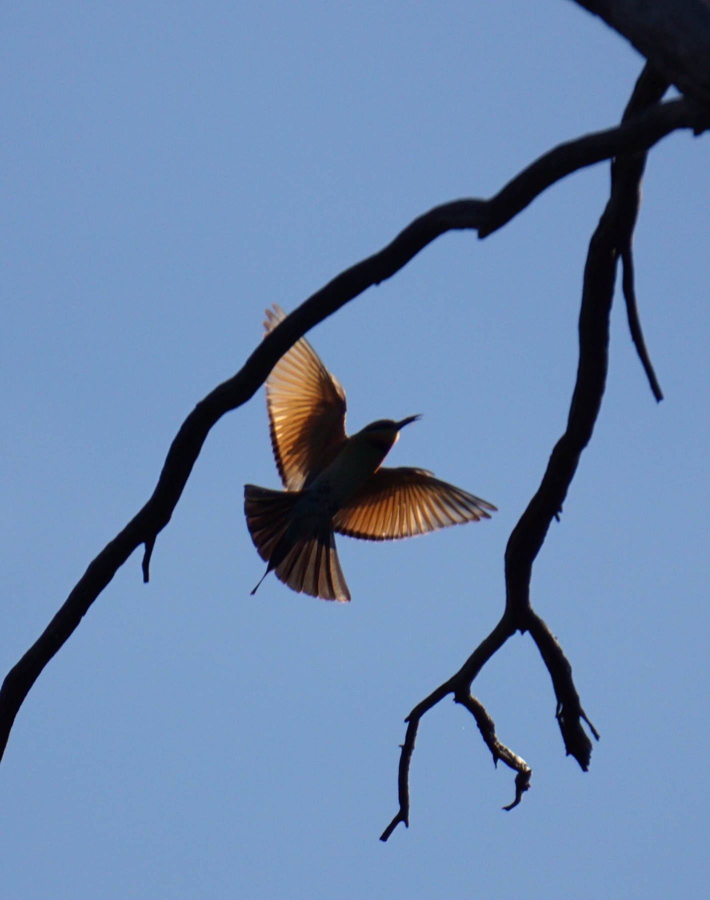
The bird life up here is stunning. Hardly any mammals though, which means limited road kill so we like that. 

After the first 50kms the alarm went off on the tyre pressure monitoring system (bought after the last puncture!) – this time it was a rear car tyre – our faithful Mickey Thomson’s had let us down – literally. 

The Gibb is a brutal road on tyres – full of corrugations and sharp stones – we had a massive rip in the tyre. So we set to work and got the spare off and the car jacked up and the dud tyre off. As I was trying to lift the new one on a couple of trucks pulled up and asked if we were OK. They helped lift on the new tyre and tried to repair the old one. Sadly it wouldn’t hold a bung – we tried 5. So we are going to try and get it repaired at a small cattle station tomorrow who have a specialist tyre repair guy. if we can’t…well lets face that when it comes. We now wish we had spent the extra money and got interchangeable tyres between the van and the car. Then we would have 3 spare tyres as we have 2 on the van. Never pays to scrimp in the tyre dept. 


So we pull up to camp and open the door of the van – its full of dust! Clouds of it everywhere. I then recall on the handover the guy from Zone RV saying something about vents that legally had to be put in for ventilation – but a lot of people block them off. Now I understand why. So we have taped them up now.  

After a clean up, a shower in the van, and a couple of beers the world seems a brighter place. 

We are seeing a few small issues in the van, like handles falling off and bedside lamps coming to bits, but it’s understandable given the punishment this road dishes out. We went round with a screwdriver and tightened all we could see. We both are sure we made the right decion to move up from a camper trailer though for this trip. We love the “pull up and pull open a beer” lifestyle that comes with minimum set up time. Then there’s more time for all the exploring type things. 

We are camped close to the Durack River, which looks so tempting to get the packrafts out and go for a paddle. However, reports say salties have been seen in the last few weeks, so we will give that a miss! It’s dark at 5.30, preceded by a beautiful sunset over the river (memory card not reinserted so use your imagination). 


Dinner tonight: a chicken madras with fresh veggies, accompied by a 2009 De Iuliis Shiraz from the Hunter. The wine cellar still looking strong despite concerted attempts at running it down. Will we make it last until the Margaret River? Such troubling questions haunt us…

Day 23: Kennedy Creek to Jigngarrin

Author: Mrs A

From: Kennedy Creek river crossing campsite

To: Barnett River Gorge (on the map) – locally known as Jigngarrin

Distance: 55km

Time to travel: 3.5 hours (including an hour’s stop at Gibb River Station)

Airline travel sick bags used: 0

Well, feet were firmly on the ground today as we continued our journey west along the Gibb River Road. Mr A was even in a vaguely positive frame of mind about our surroundings, given the road was slightly smoother than yesterday’s vibrating corrugations. After around 50 minutes of driving we pulled into the Gibb River Station, about 1km off the road. The station is also the hub of a lively aboriginal community, with a sparse store selling essentials, like cans of Coke and ice creams. They also sold fuel from a single tank and offered camping, fresh water, and when the right elder is around, tours up the creek to see the rock art.

We filled up with water, tried calling Mount Elizabeth Station (Mr A had read they have some ‘Bradshaw’ Aboriginal art on their land and do tours) but no answer, and went on our way.

When we arrived at the turn off to Barnett River Gorge there was no sign, not even a road name, just an orange single sandy track heading off on the right of the road. With no passing areas, we did wonder what would happen if someone came the other way, but fortunately didn’t have to find out. We drove 4km, the road steadily getting rougher, with the odd washout and large rocks to negotiate. I walked ahead of the car for the last bit with a walkie-talkie (essential caravanning kit!) to help guide Mr A safely down.

After seeing nobody on the track, or in fact the Gibb River Road for the past 45 minutes, it was a shock to see about 12 4-wheel drives all parked up at the end of the road! There was one turning circle, beside which was a large, level grassy camping area with our name on it. We negotiated our way in and were soon parked up and putting on our hiking gear.

As we commenced the hike in, we saw the owners of the 4WDs hiking out – a whole bunch of backpackers on a tag-along tour. We had the remainder of the walk to ourselves. As seems to be the way up here in the Kimberley, it was more of a rock hop than a hike, requiring navigation via cairns left by previous hikers, and the odd arrow provided by the Aboriginal community. It was great to be out of the car and amongst nature again, and soon we arrived at a lookout on top of the escarpment. Funnily enough, the sign pointing to the lookout read ‘Look out’, and as we admired the incredible view of the gorge, we spotted a huge crocodile in the water beneath us! Argh! Look out! 


The hike continued on, climbing down the escarpment walls down to a rock platform with idyllic pools leading to waterfalls and more pools, surrounded by pandanus palms and white sand beaches – a landscape designer could not have done a better job. We avoided the big deep pool with the crocodile, and instead ate our lunch and enjoyed a swim in the shallower rock pools – heaven.


We returned to the car and mobile apartment for hot showers, and briefly had the whole spot to ourselves. Briefly. Three more campers have arrived for the night…should we warn them about the crocodile or not? That is the question…

Now chilling out as the sun goes down with a refreshing rose (me – bringing back memories of Provence and our time with Colin & Di last year) and a James Squire Pale Ale for Mr A (again, he says!)

Day 19: Emma Gorge

Author: Mrs A

We had a lazy start to the morning before heading off in the car back up to the Gibb River Road and backtracking towards Kununurra about 11km to Emma Gorge. 

Emma Gorge is another resort area, predominantly cabins and a restaurant – no camping. In the 1990s it, along with El Questro, was purchased by a couple for $1 million Australian dollars – 1 million acres, a dollar an acre – as Mr A mentioned yesterday. A million was probably small change for that couple, one being an heir to the Penguin books empire in the UK and the other being heir to the Myer department store network in Australia. They built up the business and sold it on for about $13 million in about 2005 to a resort management company which also manages Uluru (Ayers Rock).

Hiking up the gorge

Our visit, however, was not to the resort, but rather the gorge behind it, named after one of the daughters of the original land owners. It does feel somewhat uncomfortable thinking about the ‘owners’ of land around here, given the evidence of the indigenous land custodianship we see about. There is little mention of that here, though we hear there are many discussions happening with the aim of clearing the bad blood between the populations. We have heard of mass murders of Aboriginal people in the Kimberley (like in many areas of Australia) in the 1800s that remain raw.


Our initial impression was that this gorge would be far easier to tackle than El Questro Gorge, with the start of the track being relatively flat and sandy. It soon changed, however, back to clambering over river rocks, often slippery and the pathway challenging to see as it cris-crossed across the creek. As always the scenery was stunning, surrounded by sandstone walls and rocks which had fallen and often showed fossilised ripples from the shallow sea they once made up. The rocks in these parts pre date any life on earth, so other than ripple-rock there is little other fossilised evidence.

As we climbed, the gorge walls began to close in, initially bringing us to a stunning turquoise pool, and then after final clambering, the final pool, with several waterfalls spilling over the sandstone cliff edge into the icy cold water.

We stripped off and waded to knee deep, our lower legs feeling numb, considering a total immersion. Fortunately we were saved by another gorge visitor who told me there was a hot spring waterfall on the right hand side of the pool, with a toasty 30 degrees – perfect! We sat under the waterfall there in total bliss.


Back at camp, I managed to spend a couple of hours painting in the afternoon sun, while Mr A pottered around getting things packed up ready for our departure tomorrow. Unusually we had a little cloud this evening, making for a lovely sunset, and we are about to head over to the resort bar for their BBQ dinner. All is good at El Questro as we prepare to depart. 

Day 17: Gibb River Road – El Questro – Zebedee Springs & El Questro Gorge

Author: Mrs A

Another early morning, and out and on our way by 7am, sandwiches made and water bottles filled. We commenced our day’s activities at Zebedee Springs, a permanent thermal spring (28-32°C) in a beautiful orange sandstone gorge, the water coming out of rocks and flowing through a series of little pools through a creek.


We drove about 8km from camp on 4 wheel drive tracks, across two water crossings and parked up. A short 2km hike saw us arrive in the main gorge, surrounded by palm trees and a gorgeous stream bubbling down, already some visitors sitting in the water enjoying the warmth. We found ourselves a private pool, changed into swimmers and settled in to the water. It was great scenery, and reminded us of our fabulous New Year’s Eve with John, Ev, Chris & Karen spent floating in the Nymboidia on that 41 degree day! Unlike that day, it was a cool 16 degree start to the day here, and the warm water was more than welcome.

After about 40 minutes we changed and hiked back to the car and drove to our next destination, El Questro Gorge. Accessing the parking area was an adventure in itself, with quite a wide, deep water crossing to tackle, before leaving the car and setting off up the gorge. The following 4 hours could not really be called a walk, as we were more or less following a river the whole way, rock hopping or wading through water surrounded by tall palm trees and sheer sandstone cliffs. It gave us quite a workout, and at one point we had to change back into our wet swimming gear and wade/swim across a pool and climb up a waterfall to reach the next section. It was certainly an adventure, and the scenery was worth it.


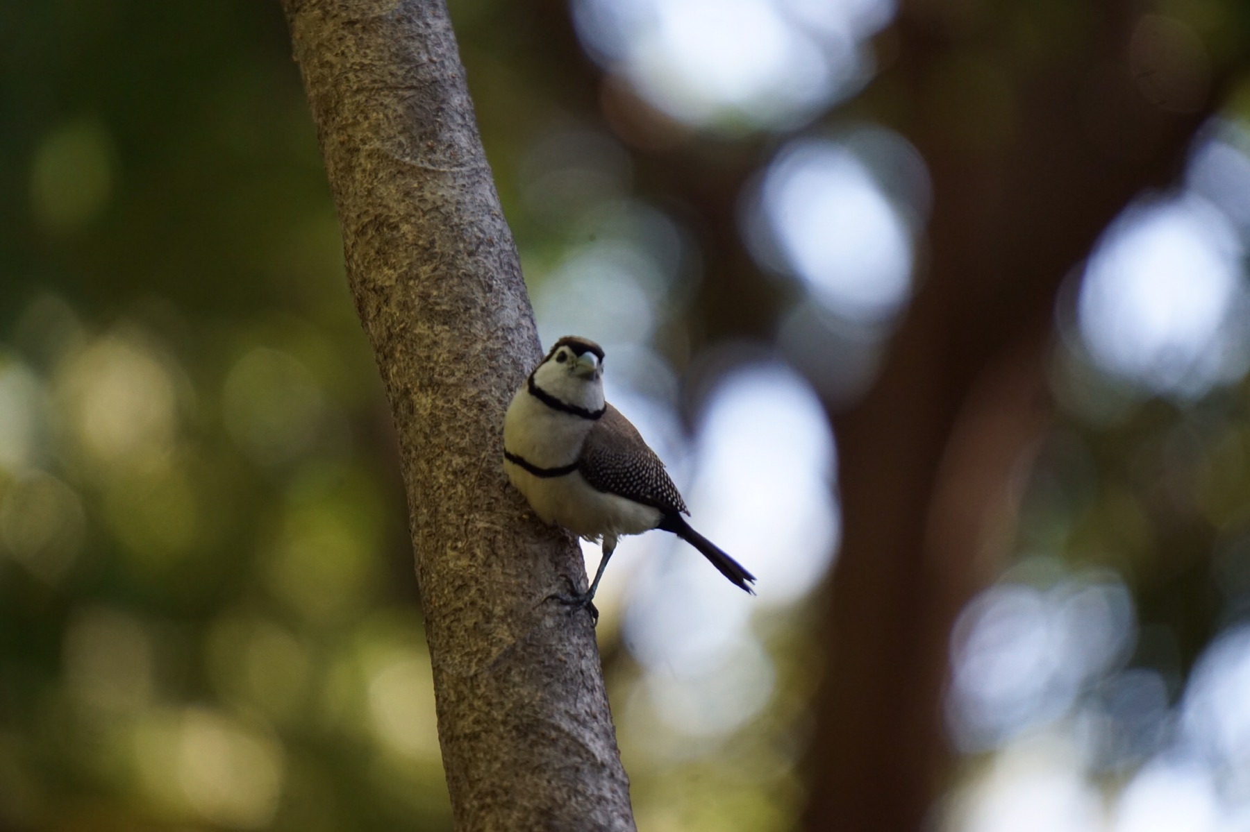
We returned to camp at around 2.30pm for showers, and I did some painting while Mr A read. Tonight we ate at the campground bar – they had a good musician playing and it was a great atmosphere. More adventures ahead for tomorrow – we are hoping to catch a glimpse of the beautiful and endangered Gouldian Finch which lives alongside the Pentecost River nearby.

Day 15: Bungle Bungle Range to Kununurra 

From: Purnululu National Park

To: Kununurra, NE Kimberley 

Distance: 231 km

Time: 4.5 hours

Author: Mrs A

We set off shortly before 7.30am, as has become our habit, all packed up and cup of tea made for the road. We drove the corrugations more confidently on the exit than we had on the journey in, slowing at the wild buffalo which decided to amble across the road in front of us as we travelled…all in a day’s work!


We arrived back in Kununurra to hitch up the van and move to a site at around 12pm, and set about doing our washing – about 4 loads! Fortunately the combined warm days and gentle breeze means everything dries in about 30 minutes, so it was not too much of a chore. 

We then jumped in the car to buy fresh fruit and vegetables ready for the next couple of weeks on the road. Tomorrow we commence our journey on the Gibb River Road – first stop El Questro for four nights. We stocked up at Coles and the local bottle shop, and returned to camp. 

As we drove back into camp we noticed an awful noise on the car – oh no! As seems to be the case in these parts, people emerged from everywhere to offer help and advice, quickly identifying that we had a stone caught inside our wheel. We were unable to remove it on site, so will need to go to a tyre shop tomorrow and get it taken out there, before it damages our new brakes. Such a pain, but good it happened here and not somewhere remote. Mr A has already identified a shop and intends to be there at 7am when they open to seek help!

We had a lovely evening chatting to our neighbours over a bottle of wine, writing down tips for our upcoming journey and ideas of other spots to visit across Western Australia. Friendly people and again, a fabulous location. 

On to pastures new tomorrow, and our last bit of internet access for a while too!

Day 11: Friday 9 June – Kununurra, North East Kimberley, WA

From: Lake Argyle, NE Kimberley

To: Kununurra, NE Kimberley 

Distance: 70 km

Time: 40 minutes

Author: Mrs A

We had a leisurely start to the day before packing up and heading off, travelling a short distance to the nearby town of Kununurra. We set up our apartment on the shores of the lake, admiring our incredible view.


We then jumped on our bikes and cycled a couple of kilometres into town – we had to purchase some fresh fruit and vegetables to replace those we abandoned at the border, and buy a Western Australian national parks pass – Mr A was delighted to find he got $30 off for being a senior, making it just $70 – bargain!

We returned to camp and another lovely Mark, one of the campsite managers,  came over and helped us to switch our filter on the van – we now have full running water – enough for lovely hot showers and a couple of clothes washes in our 2kg machine! Hopefully he can help fix the new one when that arrives next week…

We decided to take our Packrafts out on the lake to check they were not indeed leaking. It was a stunning afternoon on the water, and we proved they were air tight and it was probably user error causing the issues yesterday. Such a relief. We enjoyed a fantastic sunset, followed by a spectacular full moon rising – just perfect!

This evening we ate at a local restaurant – fantastic quality food and wine in an old Pumphouse – originally built on the banks of the Ord River to help irrigate the local area for tropical crops. Crops nowadays are mostly cotton and chia seed, which is sent predominantly to China (a Chinese owned farm). The other main business here is diamond mining. Look up the Pink Argyle Diamonds – very rare and very special…

This is a great location and one we wish we could spend more in. We head off tomorrow to the Bungle Bungle range (Purnalulu National Park) for three nights, before returning back here mid next week.

Day 9: Wednesday 7 June – Lake Argyle

Author: Mrs A

No travel stats today as we stayed still – hurrah! In spite of this, we still were up and about at 5.45am, our body clocks not yet adjusted to Western Australian time. We had a celebratory BBQ breakfast of bacon and eggs, before putting on our hiking shoes and climbing up to another lookout, this time overlooking the Ord River. 

We are staying amongst incredible scenery which supports much bird life. From our perch up on a rocky outcrop overlooking the river and gorge below, we saw Whistling Kites soar past us, talons grasping twigs for their nest building, and red winged parots flying by, squawking. 

After returning to camp we decided to visit the infinity pool. It’s crystal clear and high up on the cliff overlooking the lake, views stretching forever. I jumped in – it was freezing! Apparently, because the warm surface water is constantly running over the edge, it takes a long while for the pool to heat up – I’m guessing we are about 5 months early!


After a light lunch we headed over to the restaurant to watch an early 1970s documentary about the history of the damming of Lake Argyle…it was about 30 minutes too long (yawn), but gave us some idea of the scale of the job involved before we jumped on a sunset cruise on the lake.

This is no ordinary reservoir. It was dammed in 1970/71, and is the size of 19 Sydney Harbours – classed as an inland sea. When cyclones hit these parts during the summer months, it is not unusual to see waves of up to 3 metres on this lake! Our cruise set off at about 2.30pm and we covered little more than about 5% of the lake by the time we were returned to shore at 6pm. We saw more kites, and on one island a community of rescued rare Walleroos who hopped over to check us out. A fish feeding session revealed some of the residents below the surface. And of course crocodiles – all of the freshwater variety, more nervous of us than interested in taking a bite.


The sunset was lovely, accompanied by many stories, facts and figures, plus glasses of wine or beer, cheese and biscuits. It was a great way to spend a 31 degree day – apparently tonight is meant to drop to a chilly 16 degrees – how will we cope?! Ah well, first world problems…


Our key learning on the caravan today is to not let the water tanks run too low. Apparently that is what we have done, and it has resulted in our water filter becoming clogged (with whatever nasties lurk at the bottom of water tanks!) and the water flow is very slow as a result. A quick call to ZoneRV, the caravan manufacturers, has seen them organising a replacement to be sent to our next location, Kununurra, where we will be on Friday. Now we need to learn how to replace it. Fortunately we are in a location surrounded by seasoned caravanners who are willing to offer a hand, so hopefully tomorrow we will learn a new skill. 

Every day’s a school day (to quote a regular blog reader ;-))….

Day 9: Monday 8 June – Churchill Head to Manbulloo

From: Bush camp at Churchill Head

To: Vince Connolly Limestone Creek roadside camp area, just south of Manbulloo, NT

Distance: 646 km

Time: 8.5 hours

(Authored by Catherine!)

Once again we were up early, but as we had moved states, we had a bonus half hour in bed and still left at 7.30am! As always we were treated to a fabulous sunrise as we showered – ah how we love our apartment! 


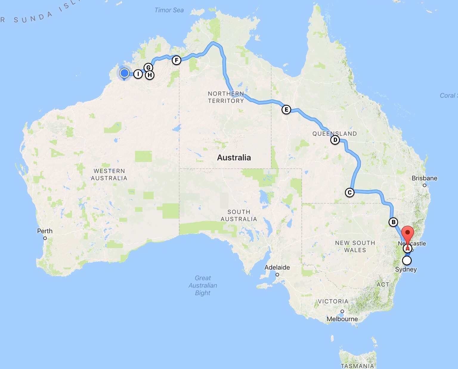
We continued northwards on the Stuart Highway to Katherine where we stopped off to do some last minute food supply stocking up. We don’t see any more shops until Friday, so we needed to ensure we had all our lunches and dinners catered for. 

Our key challenge is fresh fruit and vegetables. There are strict quarrantine regulations each time you cross state lines – some stricter than others. Crossing into the Northern Territory, restrictions were largely limited to banana plants and beehives but tomorrow we cross into Western Australia, meaning another change in clocks (back a further 90 minutes) plus no fresh fruit,  vegetables or honey. Tough call. We also have two potted herbs – coriander and basil, which both have question marks over them at this point. I guess we will see tomorrow. If they are included I will pluck off all the leaves and put them in the freezer (of course we have a freezer!).

After our shopping, we filled up with fuel and set off again, this time heading westwards for our final 40 minutes along the Victoria Highway. 


We parked up, along with about 10 other campers and caravans, at a ‘camping permitted’ roadside rest area. On the surface of things, this looks like a great location:

  • Lots of space between vans/campers
  • Clean toilets, rubbish bins and picnic tables
  • Plenty of shade giving trees
  • Wildlife – many birds and hoppy creatures around
  • Fabulous sunset (seems to be de rigour in these parts!)
  • Free

The downside is the road. We are about as far away from it as you can get, with many others camping about 50 metres from the edge – but at about 200 metres away it doesn’t make a roaring 3 to 4 carriage long road train any quieter or more invisible…we’re a little anxious about the amount of sleep we’re going to get tonight. There has also been the odd ‘locals’ vehicle driving past, hands on the car horn and yells of ‘yeah-hah’ out of the window (this must be what they call the Wild West?)…great!


Tomorrow we ‘only’ have about 4.5 hours to drive, and we will be at our long anticipated destination – Lake Argyle. And then our holiday will begin all over again!

Finally…our top three learnings from podcasts today:

  • George Takei of Star Trek fame started his life in a POW camp behind barbed wire in the USA because his family’s skin and look was ‘wrong’ post the Pearl Harbor bombings – despite being born in the USA to parents who were born in the USA…
  • The bacteria in our stomachs alone weighs about 1.5kg! Does that mean I am lighter when I am taking antibiotics? (Answers in the comments field below please!)
  • Despite Fidel Castro’s dictatorship (and in fact because of it), Cuban biotech have developed a treatment for final stage lung cancer which turns it from a terminal disease (eg 10 months to live) to a potentially chronic disease (eg not cured, but living for potentially another 10+ years with a good quality of life). It’s not on offer outside Cuba yet (USA are finally doing trials), but many ‘terminal’ lung cancer patients from around the world who have heard about it are flying there to get treatment and doing really well.

Thank you for continuing to join us! 

Day 7: Saturday 3rd June – Ayrshire Hills to Mount Isa 

From: Ayrshire Hills bush camp off the Old Landsborough Highway

To: Mount Isa, north-west Queensland

Distance: 403 km

Time: 4.5 hours

Well not every day can be perfect, and this was one of those. Some time during the night, what started as a niggling headache evolved into a full blown migraine, which made the 403 kms quite a challenge for me, feeling hot and cold, shivering with stinging, streaming eyes and pounding head. I was not the best of travel companions.


Thankfully it was a ‘relatively’ short drive to Mount Isa, where we pulled in to a very basic caravan park and set up under a tree. I collapsed in bed feeling awful while the very patient Mr A set about doing our washing and cycled into the city centre to find me strong drugs and stock up on supplies. Our next two nights are going to be bush camping, so we needed to ensure we were well stocked with water and food for the trip.

Mount Isa is here because of the mining (lead, silver, copper and zinc) with a large Aboriginal community and substantial poverty and crime. Much of the mining population is fly-in, fly-out. It was slightly disturbing being warned as we entered to ensure we lock our car and van at night. We were amused when the park owner asked us whether we had an address – many of the grey nomads coming through here have sold up their homes and are living as gypsies, wherever they park up being their home.

I was last here 18 years ago, when I called through via coach on the way to Darwin. I was given 2 hours to explore, and my lasting impression of the town from the lookout was the metallic taste of the air here. I am guessing the pollution levels have been decreased now, as I don’t notice that today.

Hoping for a good night’s sleep tonight, in preparation for more long hours and distances over the next couple of days…fingers crossed!

And finally, back by popular demand, the top three things learned from podcasts today:

  • There are two types of artists (including musicians, painters, writers) – the Picassos – those who can pen a song/paint a finished masterpiece in 15 minutes (eg Bob Dylan) and those who take years – the Cezannes (eg Leonard Cohen, Elvis Costello)
  • The Toyota scandal in the USA in 2009 (accelerator stuck to the floor, brakes don’t work) cost Toyota billions in court costs and recalls, but in reality was caused by human error (foot hitting accelerator instead of the brake in an unfamiliar car)
  • The Challenger space shuttle disaster, while horrendous, improved engineering and NASA’s business processes exponentially