Author: Mr A
Location: Tannum Sands, Queensland, Australia
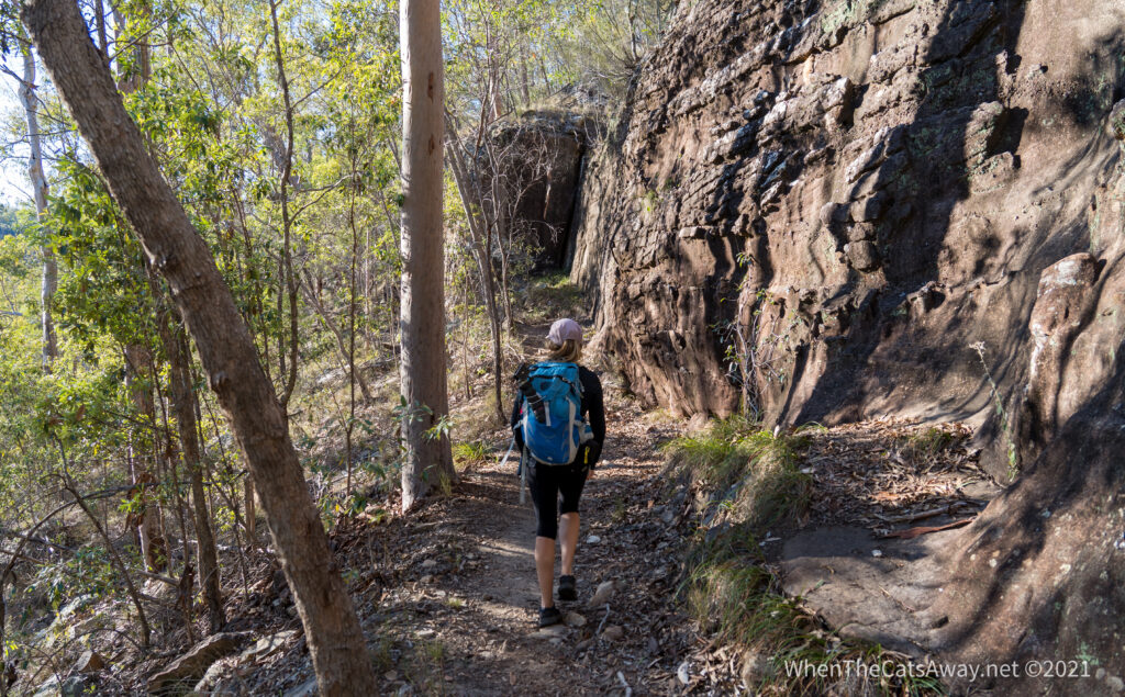
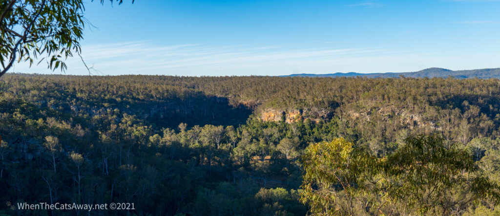
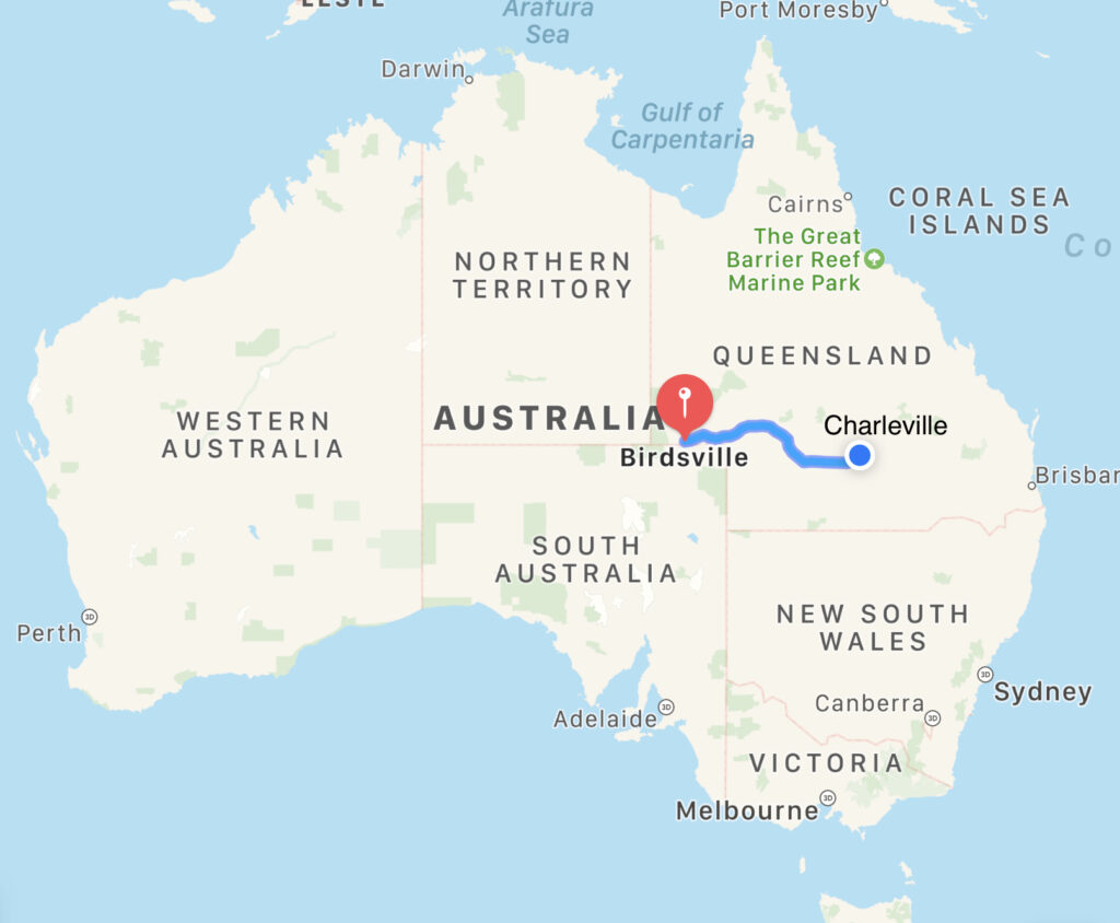
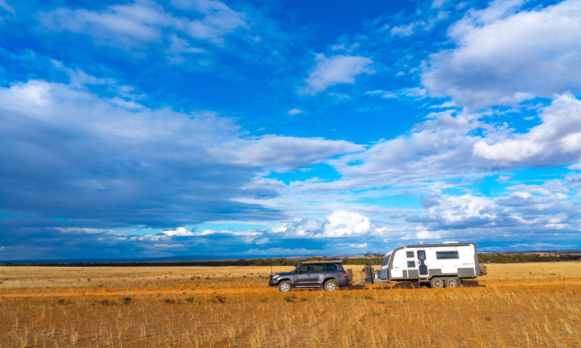
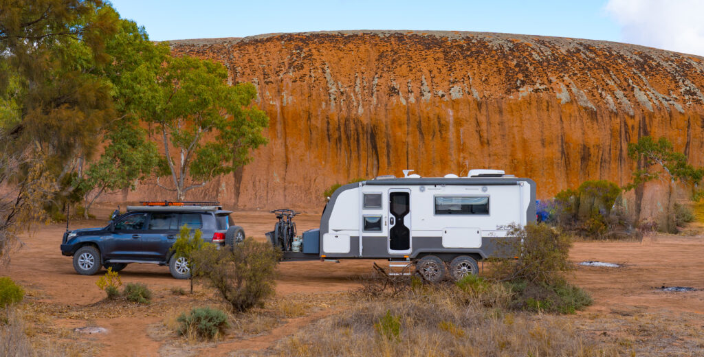
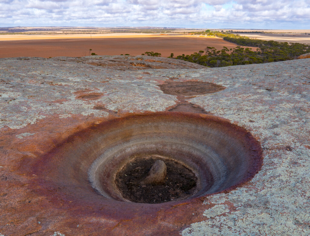
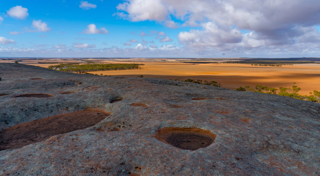
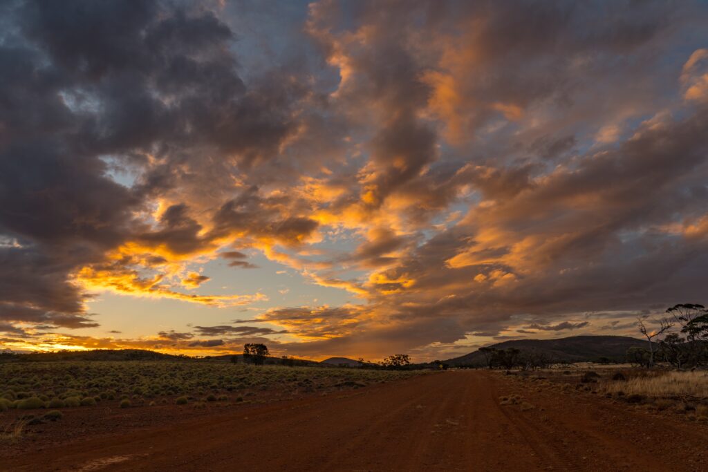
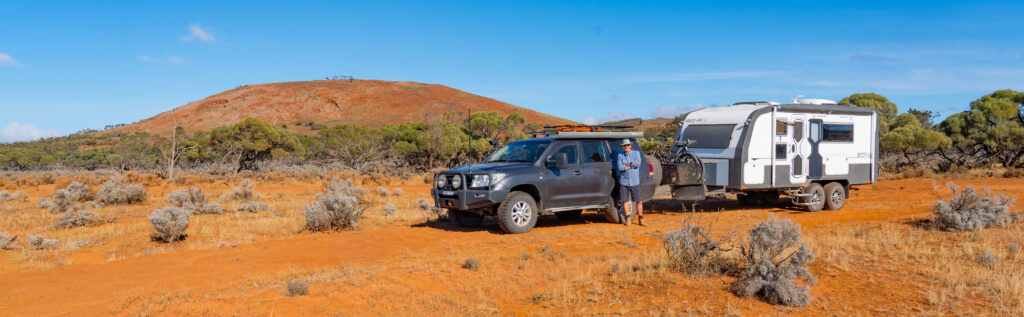
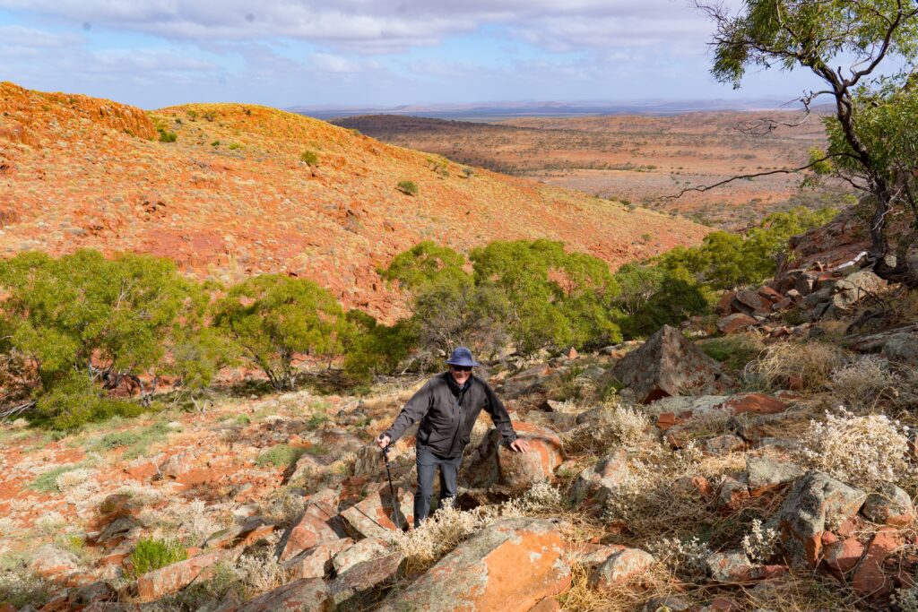
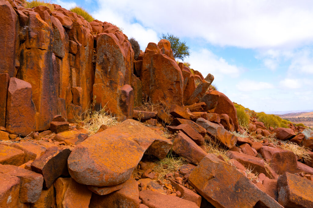
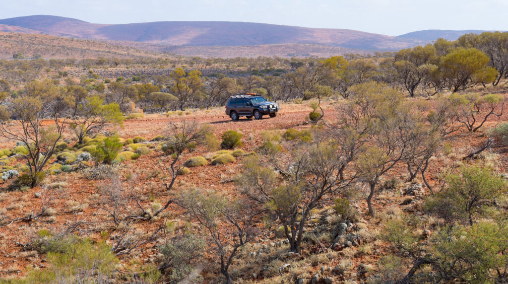
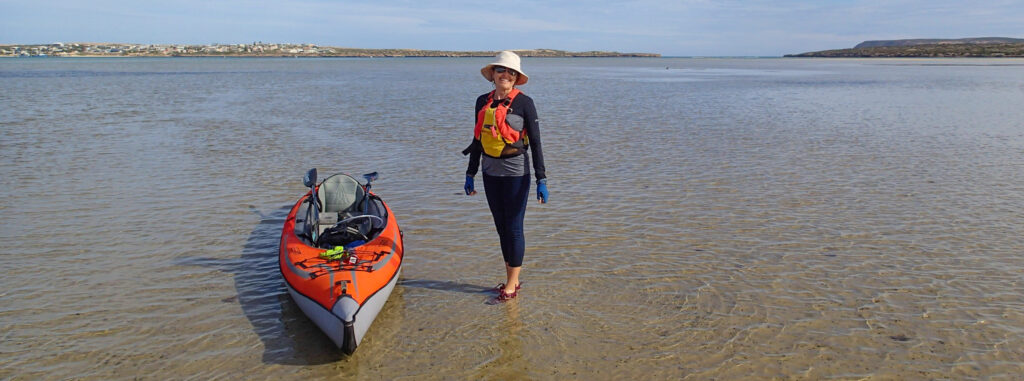
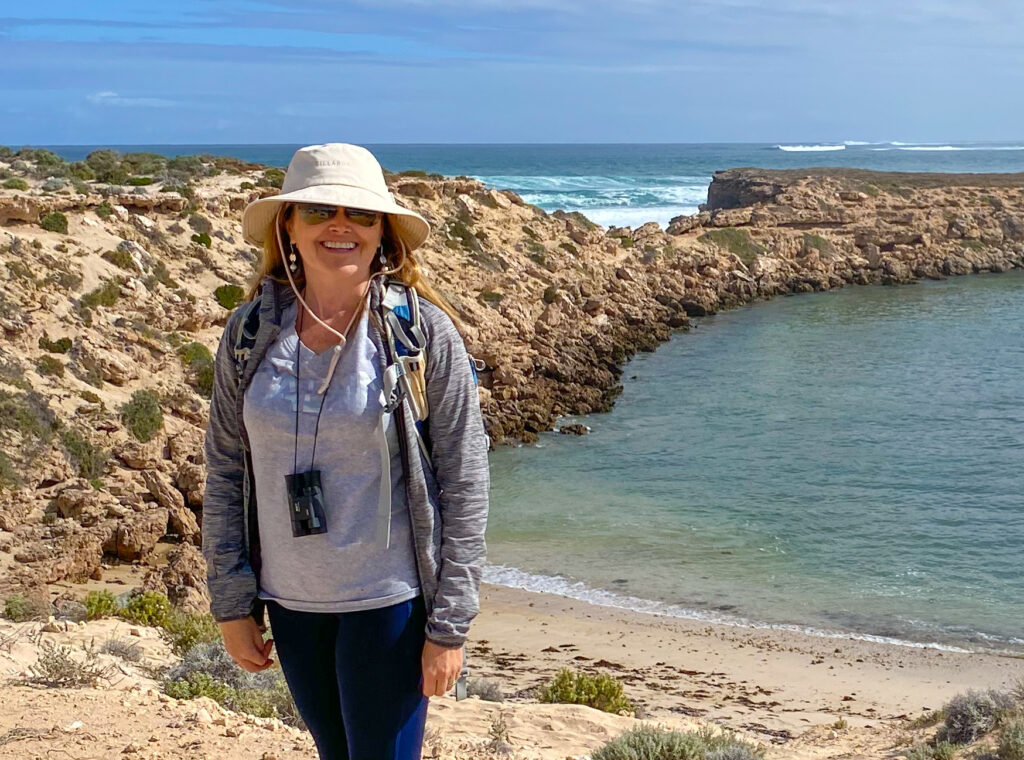
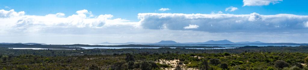
On some weeks life just doesn’t quite work out as planned. We were looking forward to a relaxing week exploring a new area (and our first sight of the coast since we left South Australia), and in 6 days managed one bike ride and a short walk! We had a whole list of things we thought we would get to do, but thanks to some unexpected incidents those plans were sidetracked.
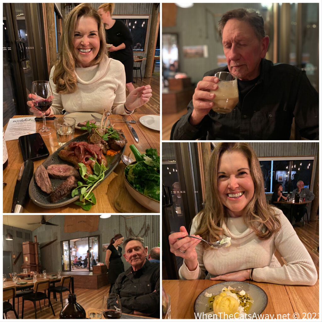
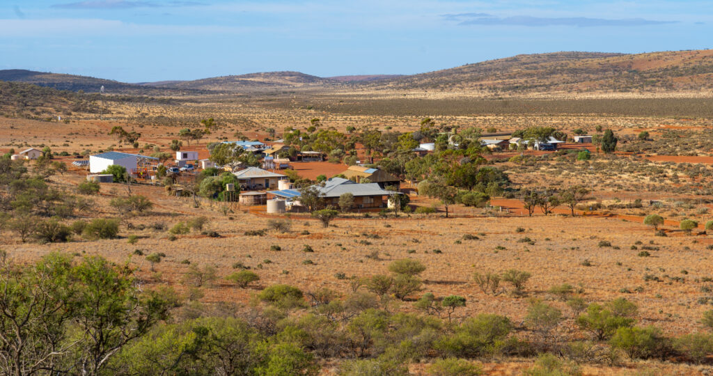
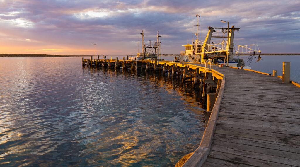
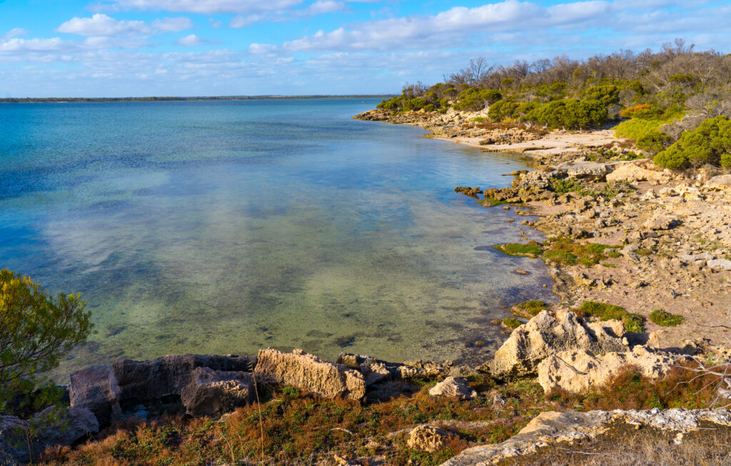
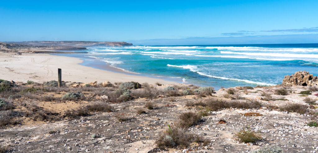
Tannum Sands is a small coastal community with a few shops and a couple of takeaways, quite different to the “gourmet dining scene” the brochures had promised. But we are used to that and expectations were appropriately kept in check. Whoever writes these tourist brochures for regional Australia should be awarded literary prizes for fiction 🙂
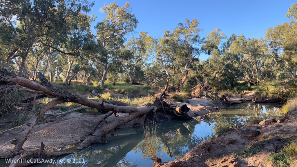
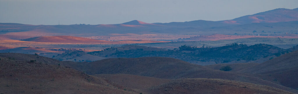
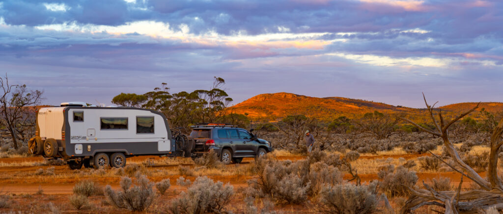
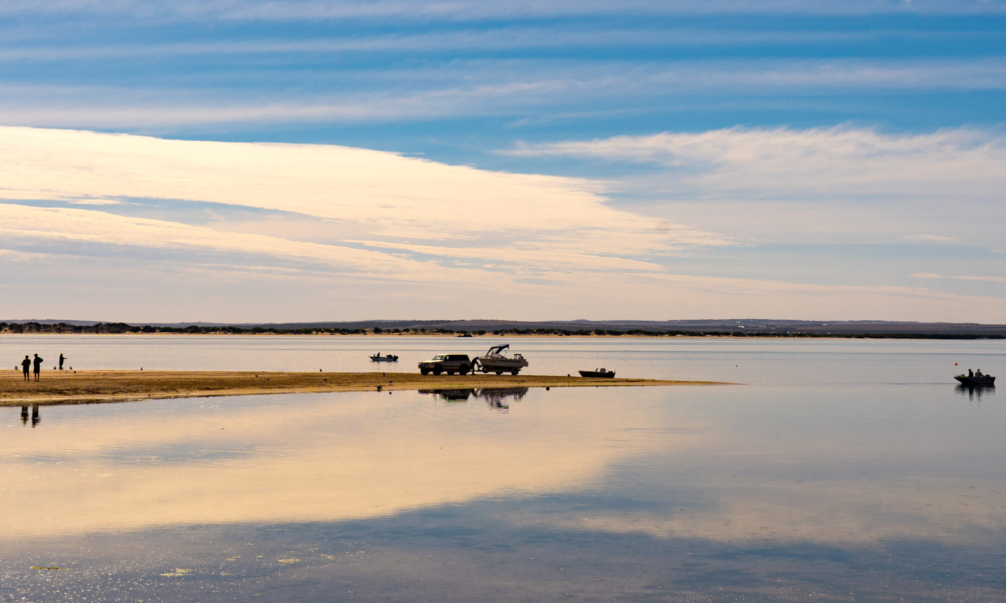
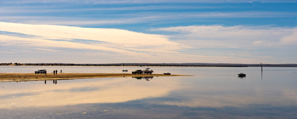
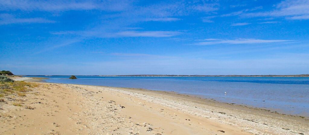
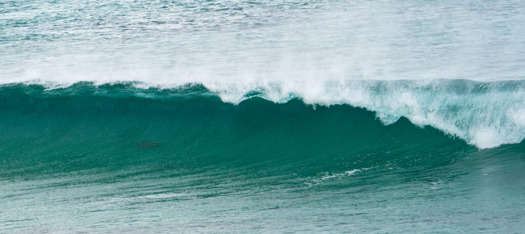
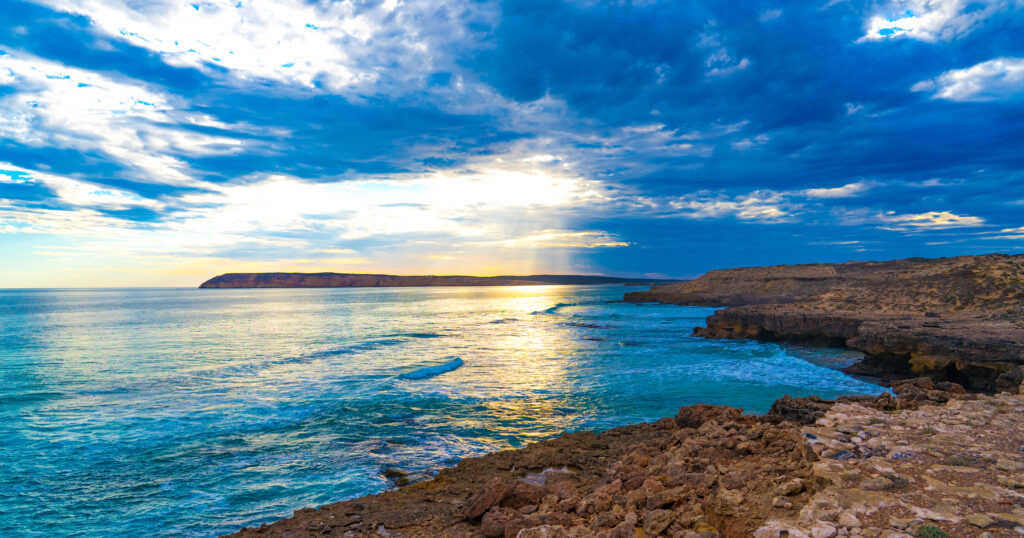
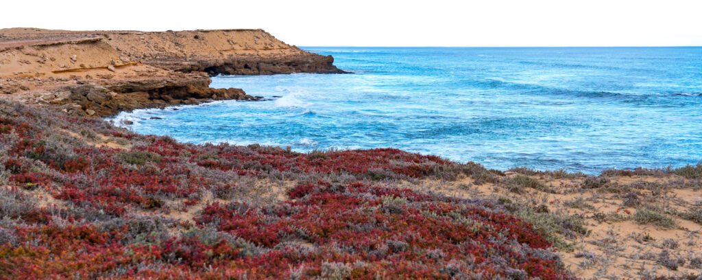
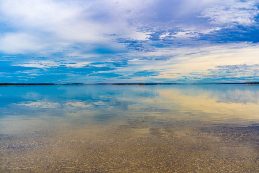
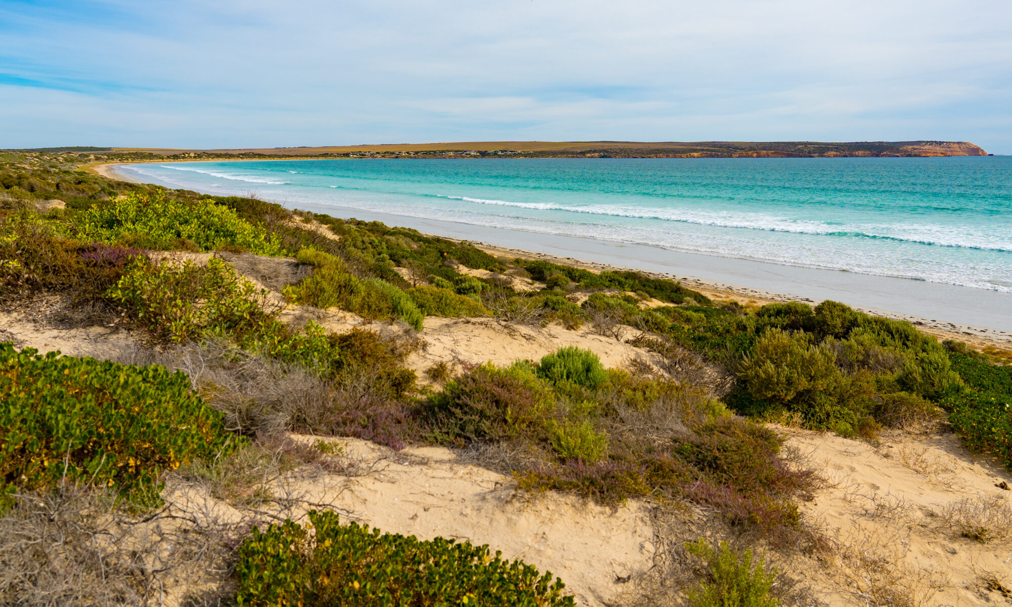
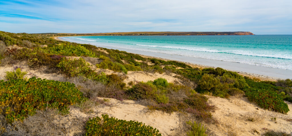
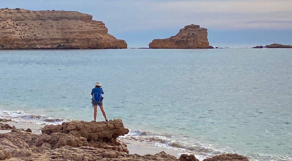
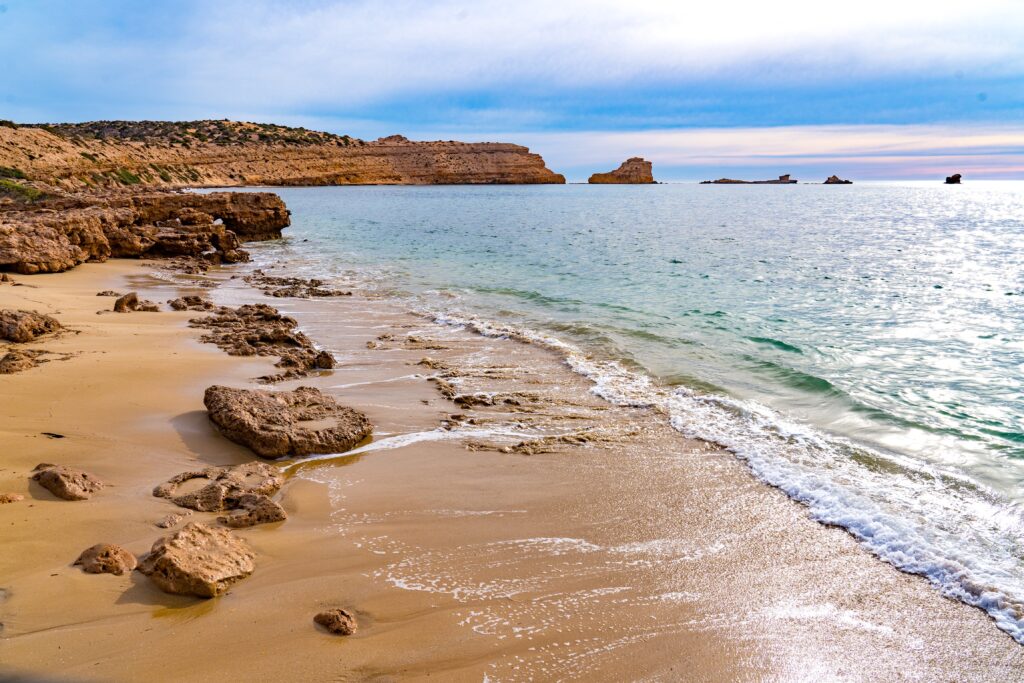
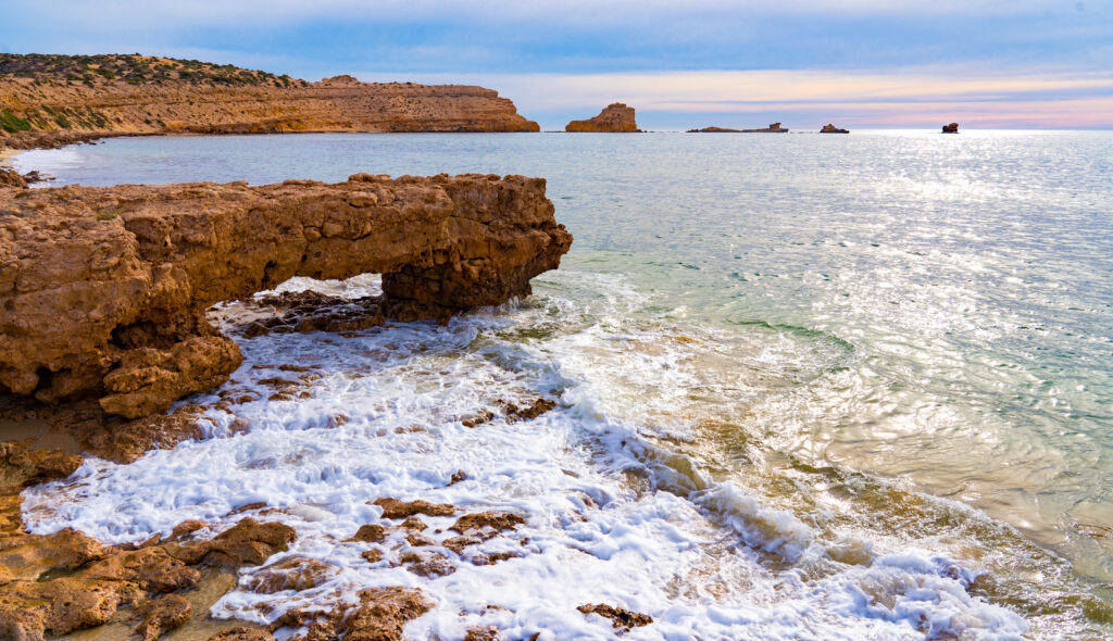
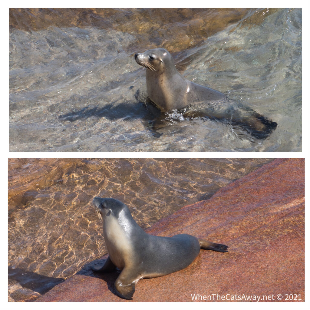
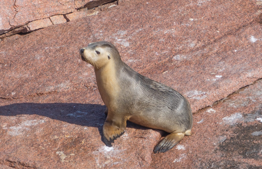
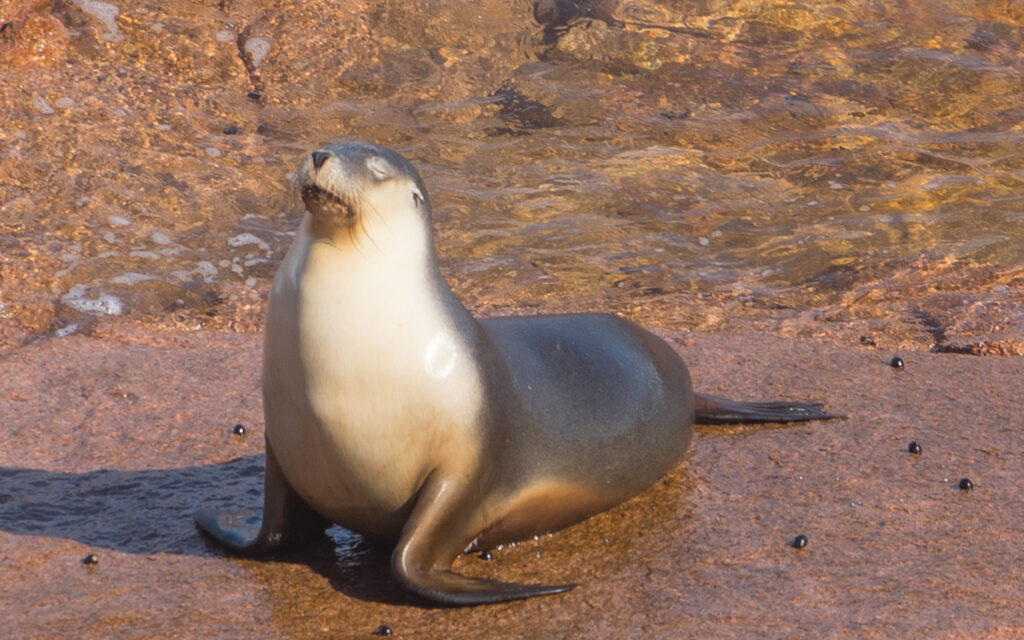
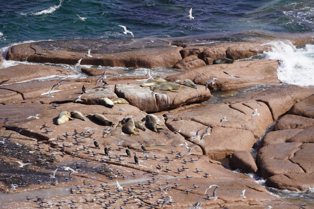
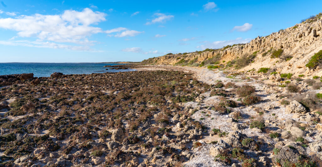
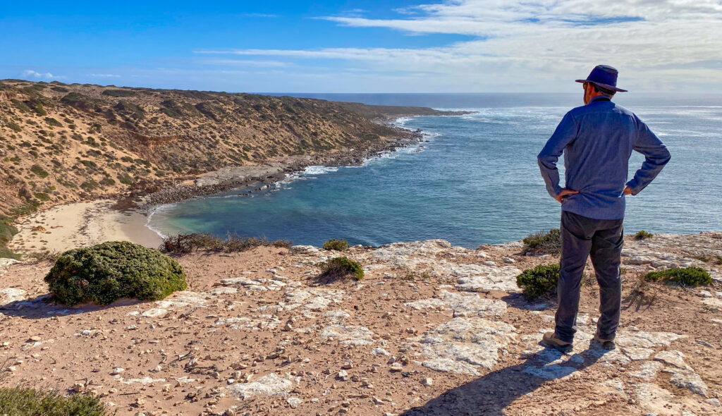
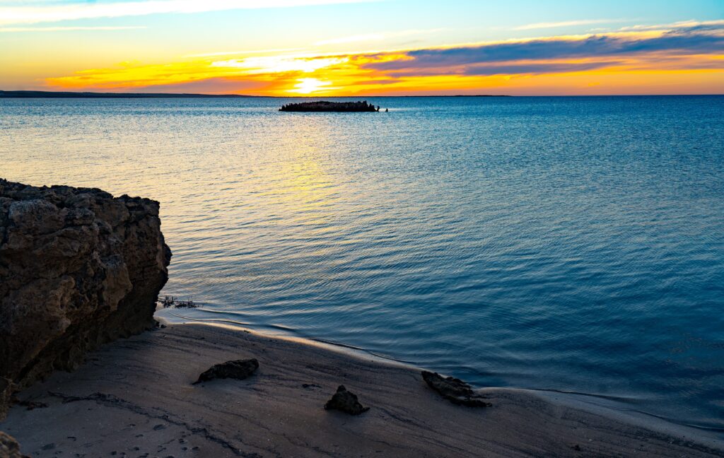
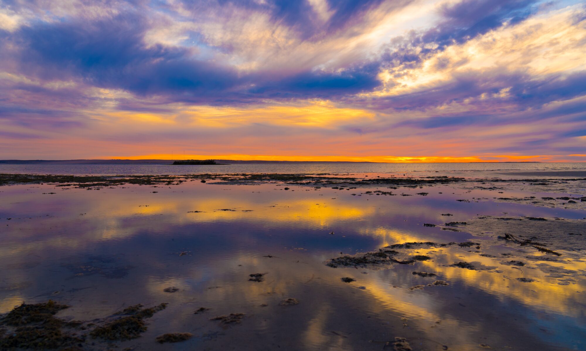
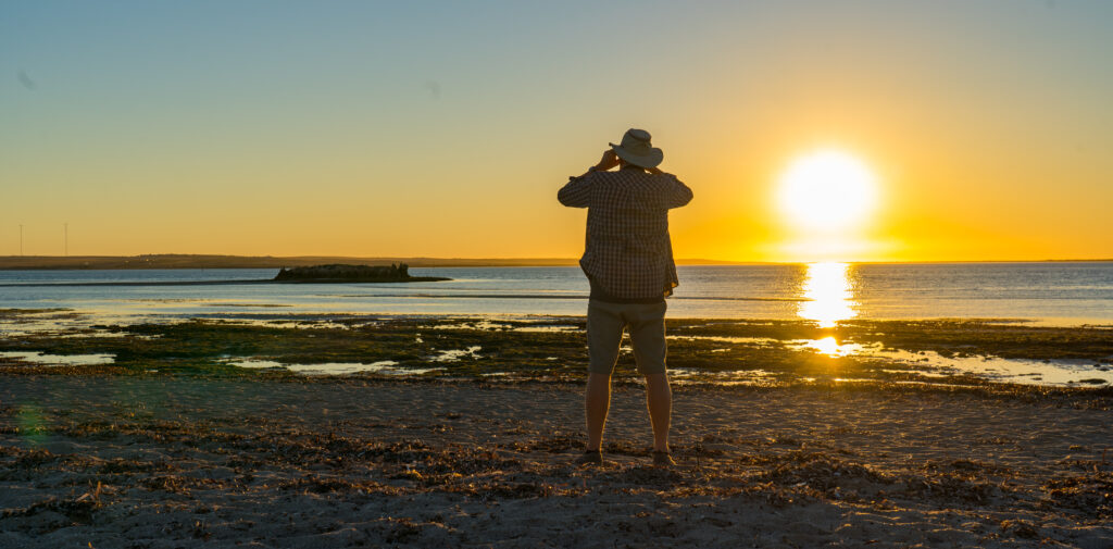
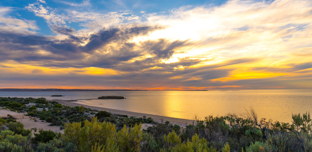
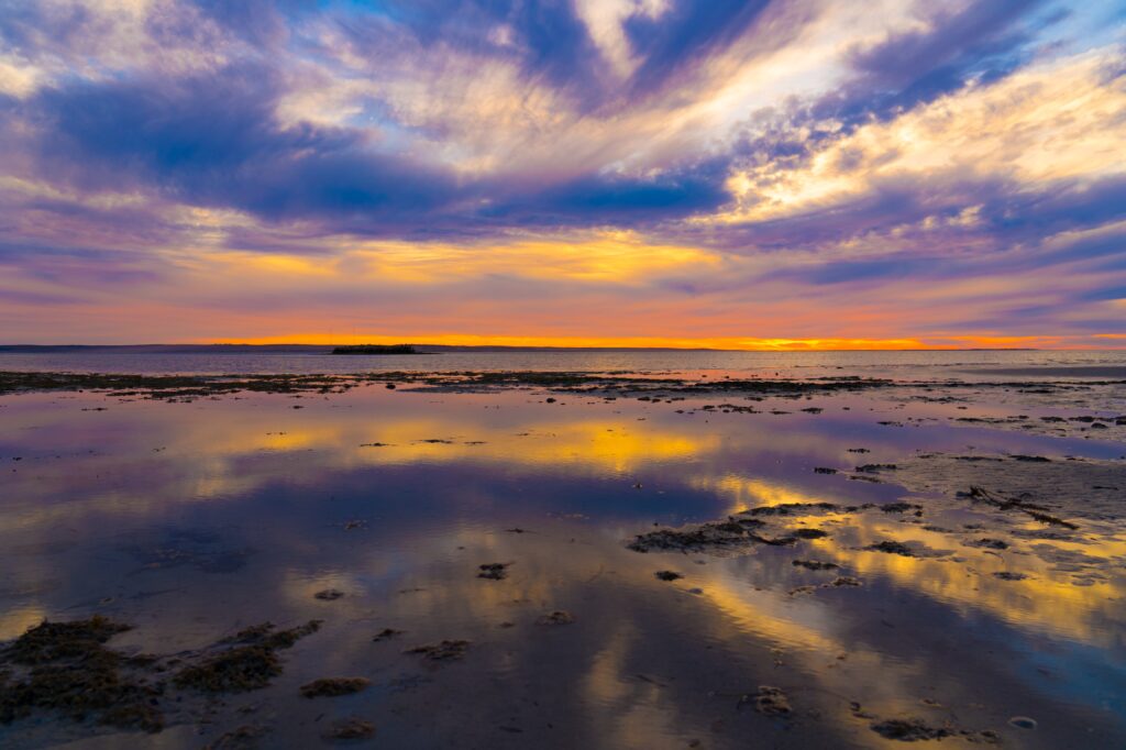
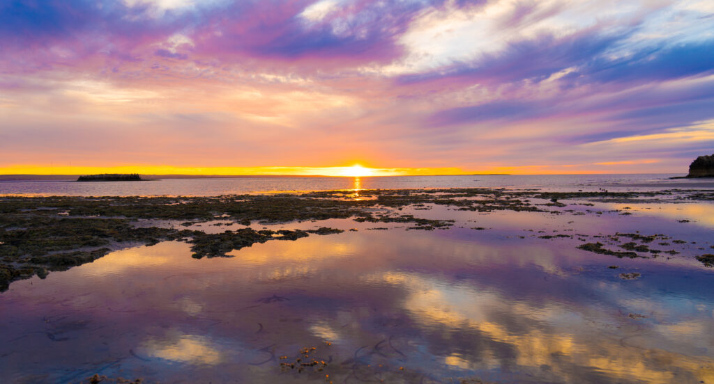
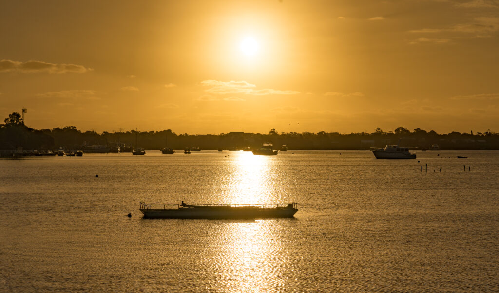
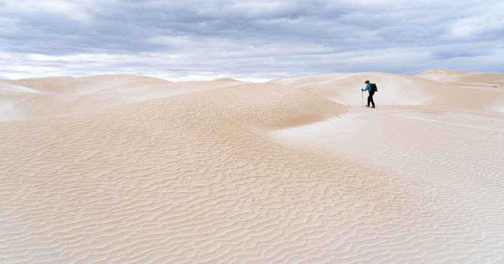
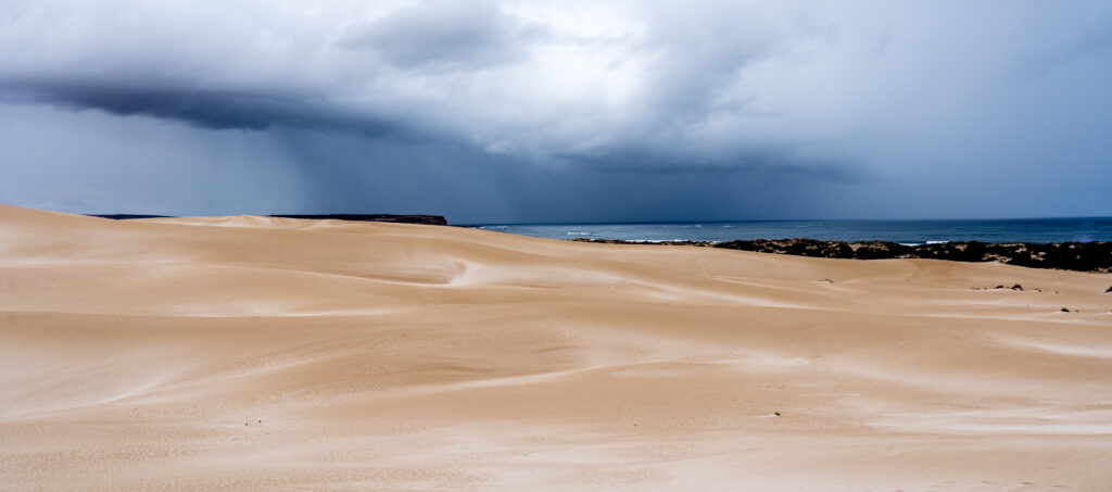
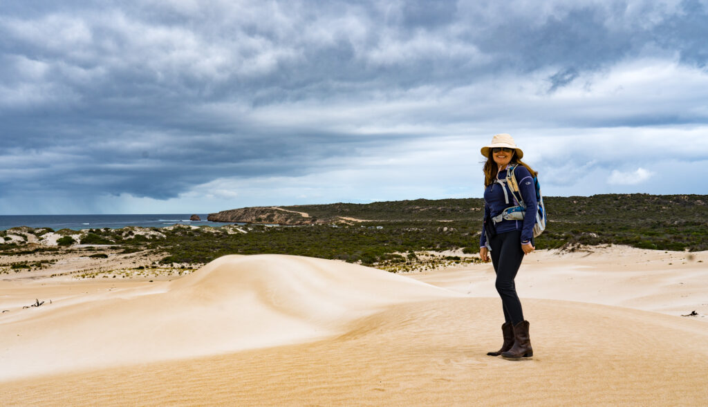
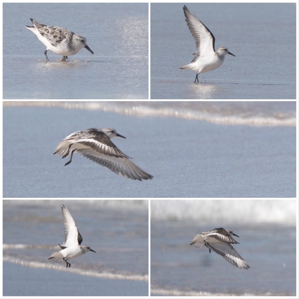
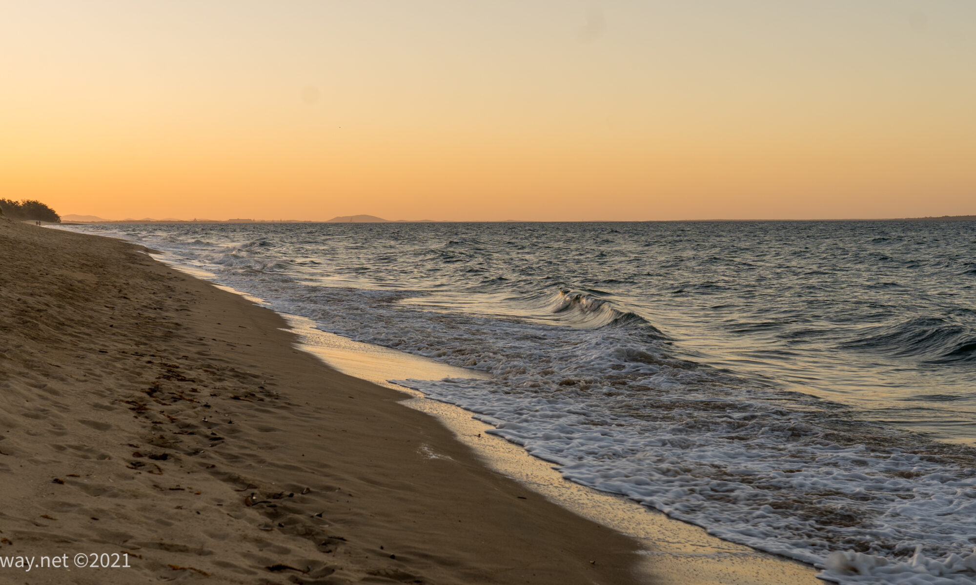
Our campsite was right across from the beach, and the first day we arrived was the only time we had a chance to set foot on it in the early evening.
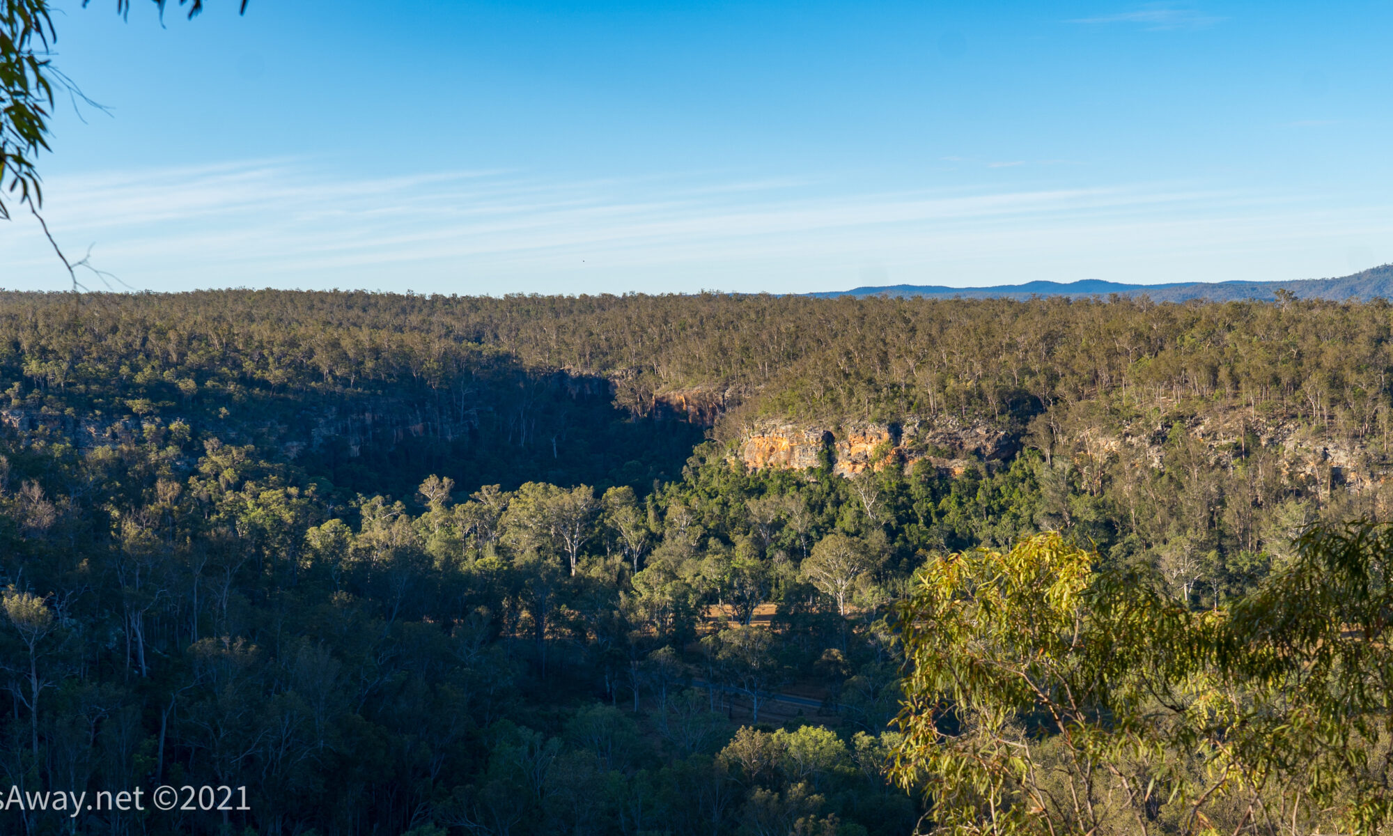
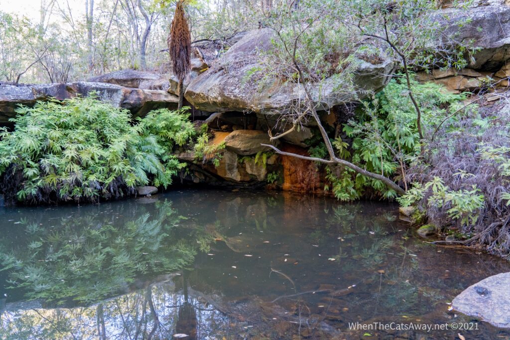
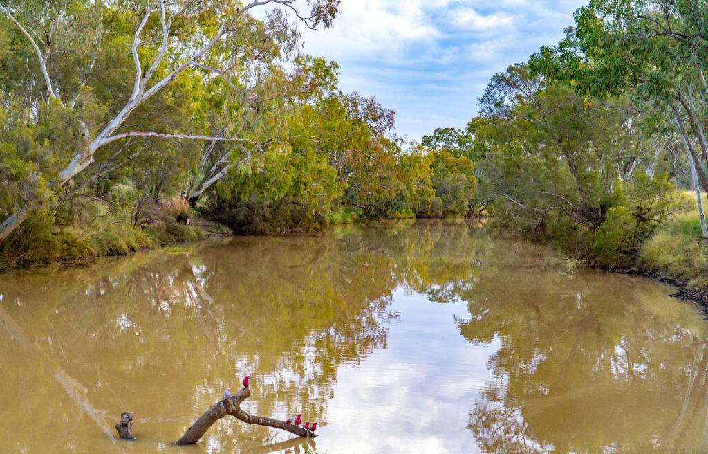
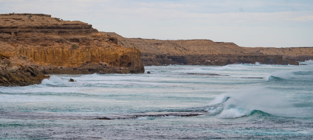
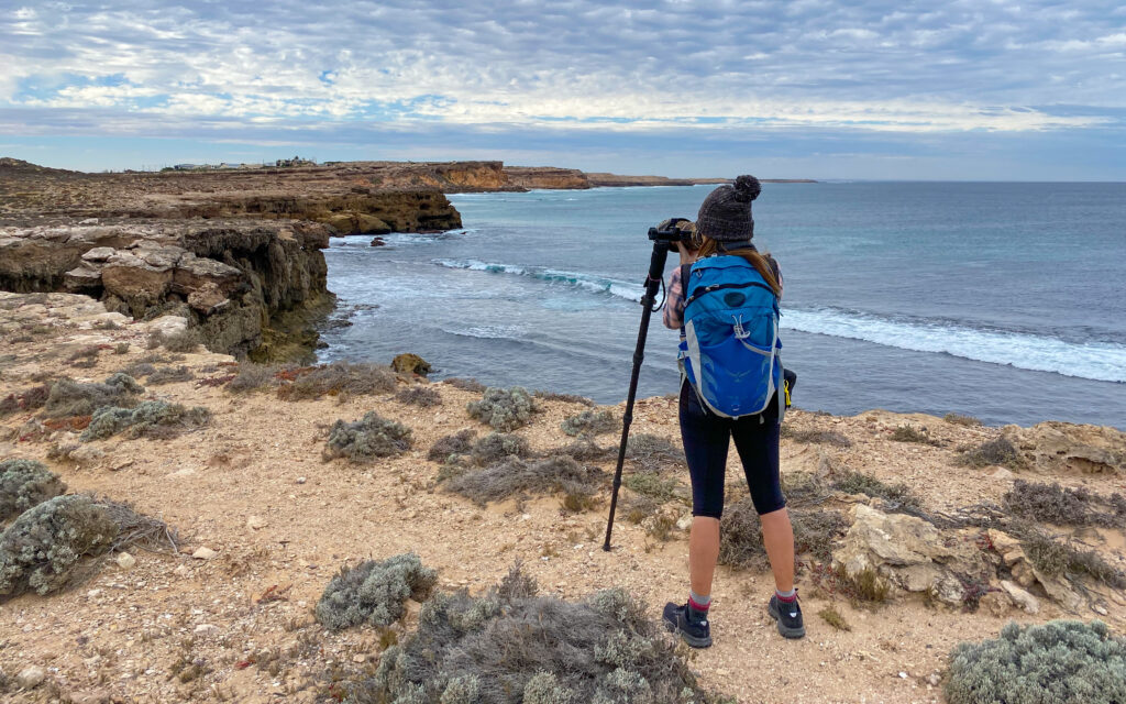
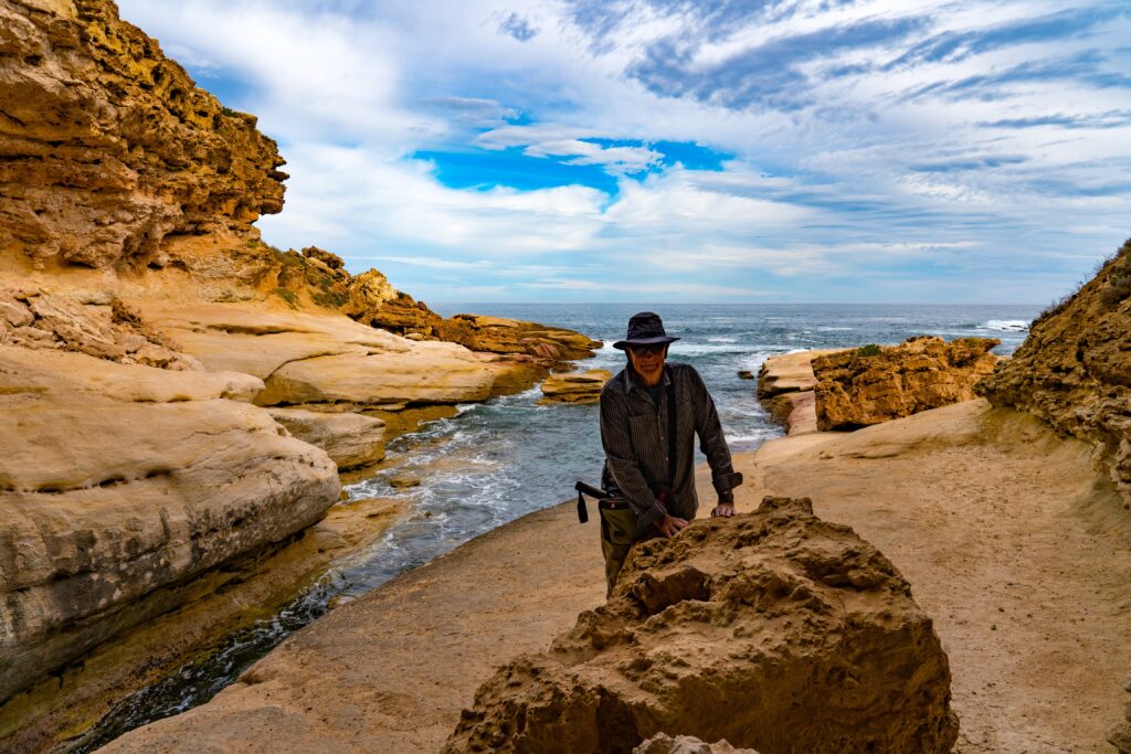
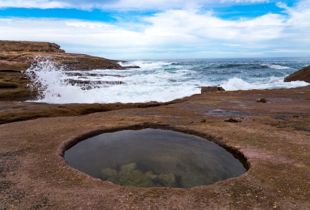
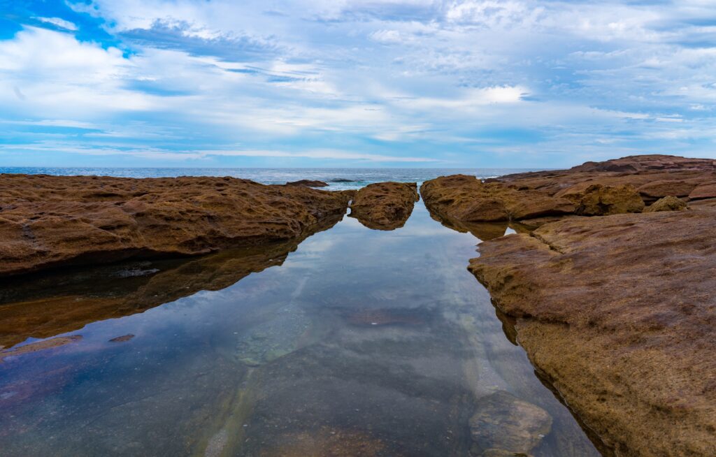
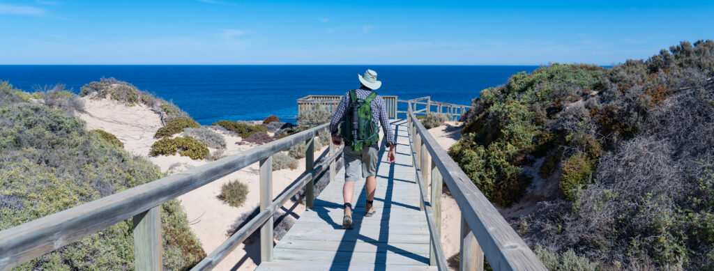
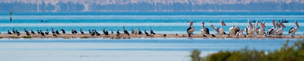
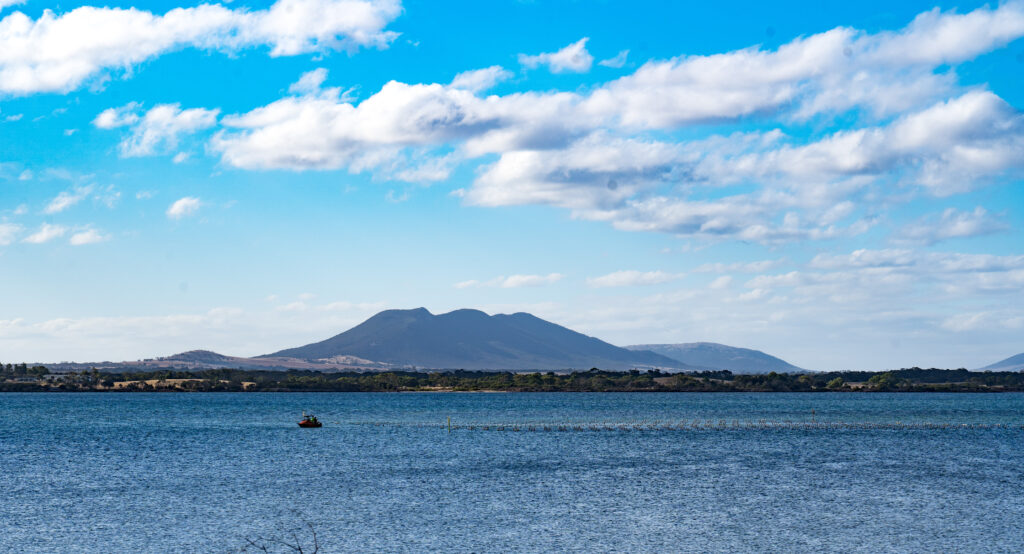
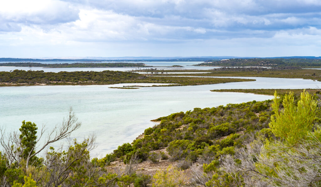
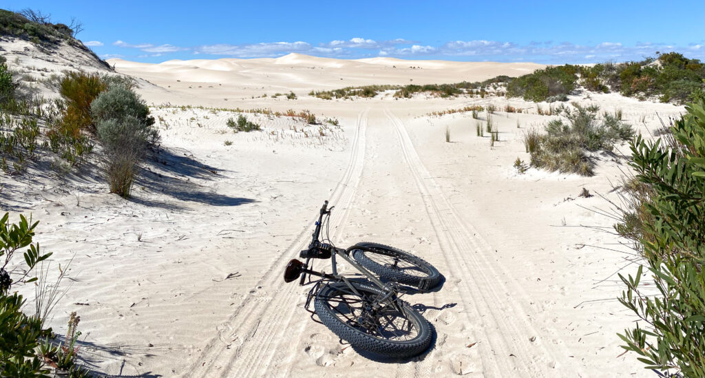
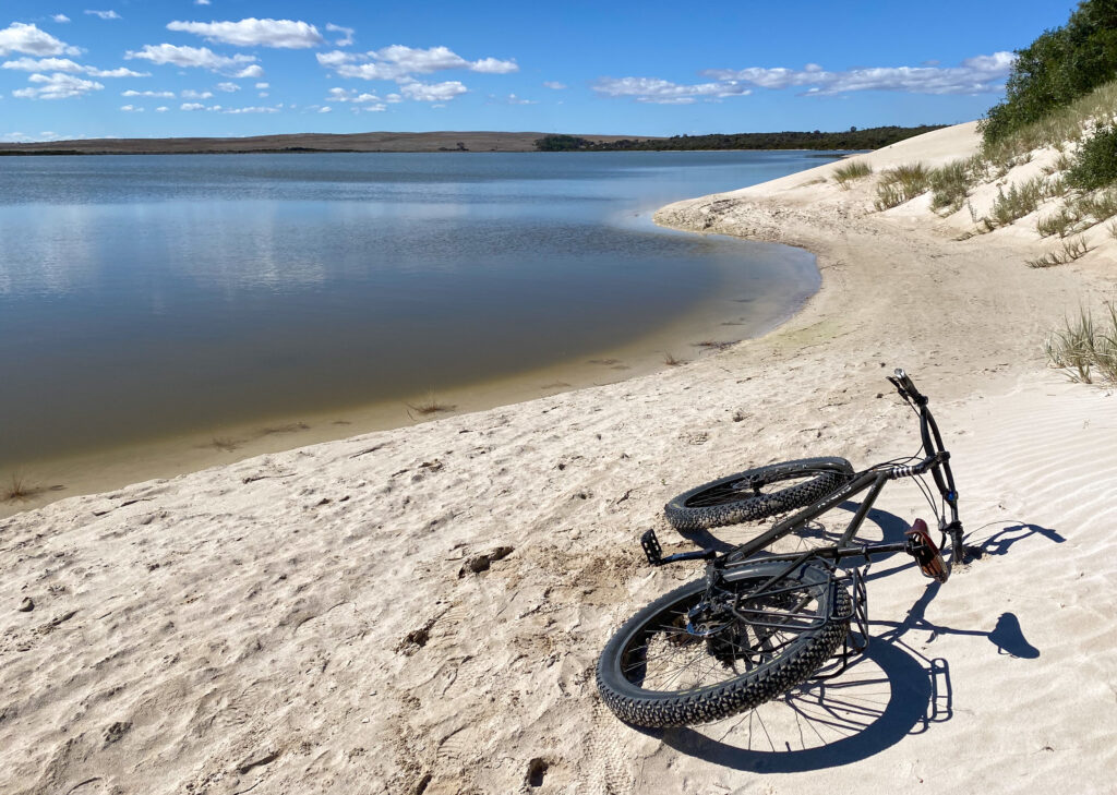
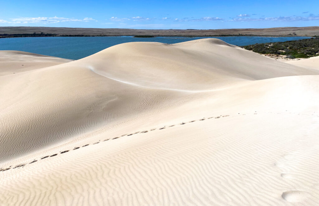
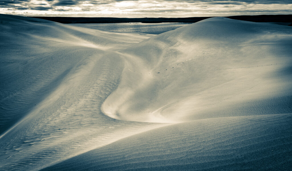
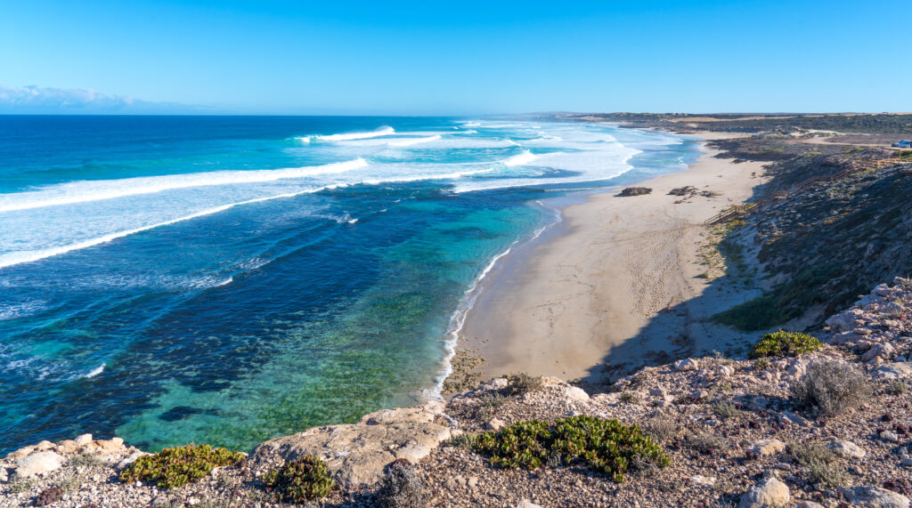
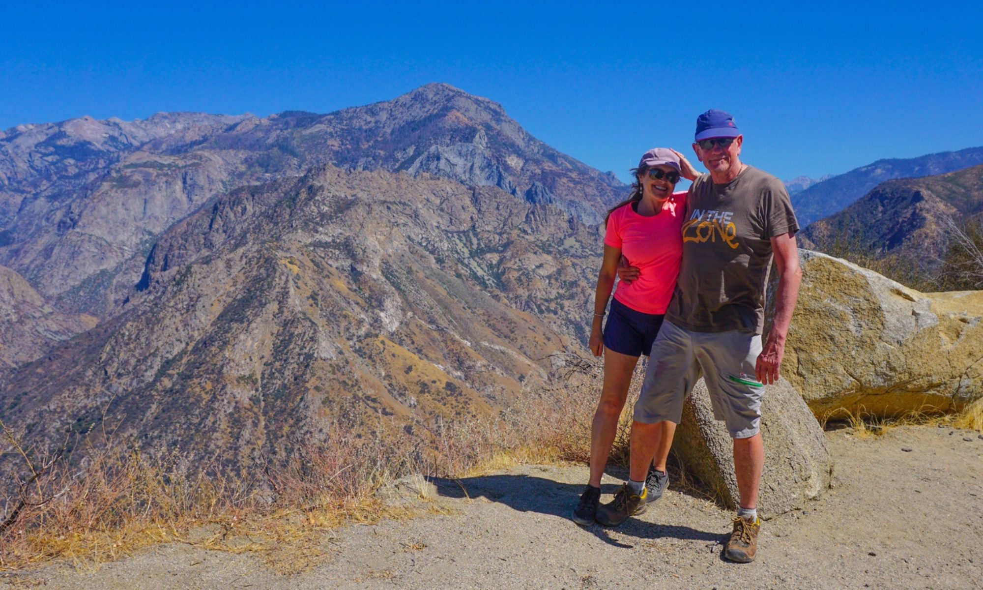
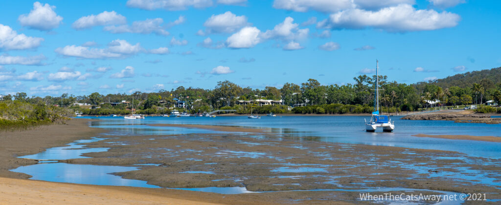
The bike ride was great, a dedicated cycle path winding up the coast along these beautiful beaches and the river.
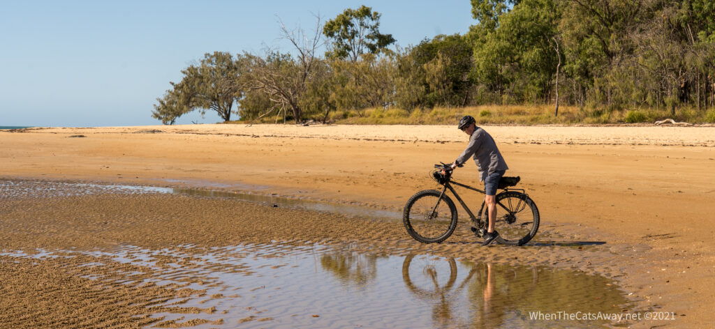
We made it round a headland to the Boyne River, all very picturesque. So where do these people who live here eat out I wondered pointlessly.
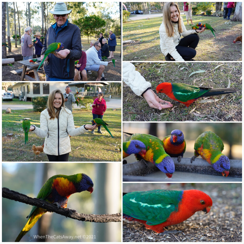
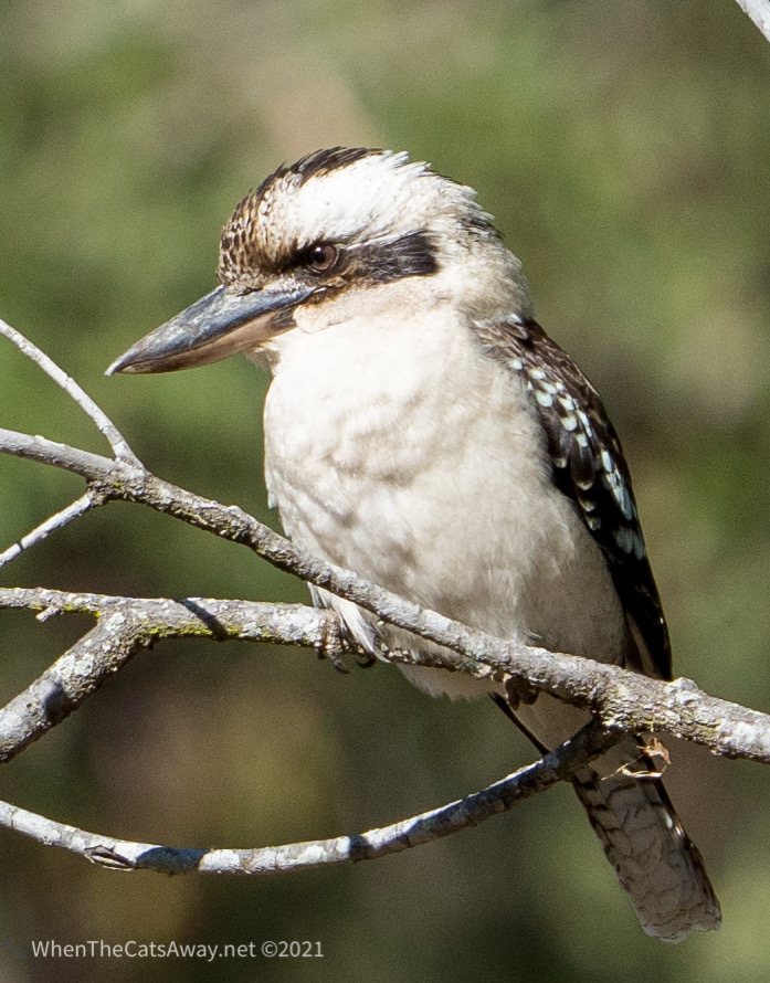
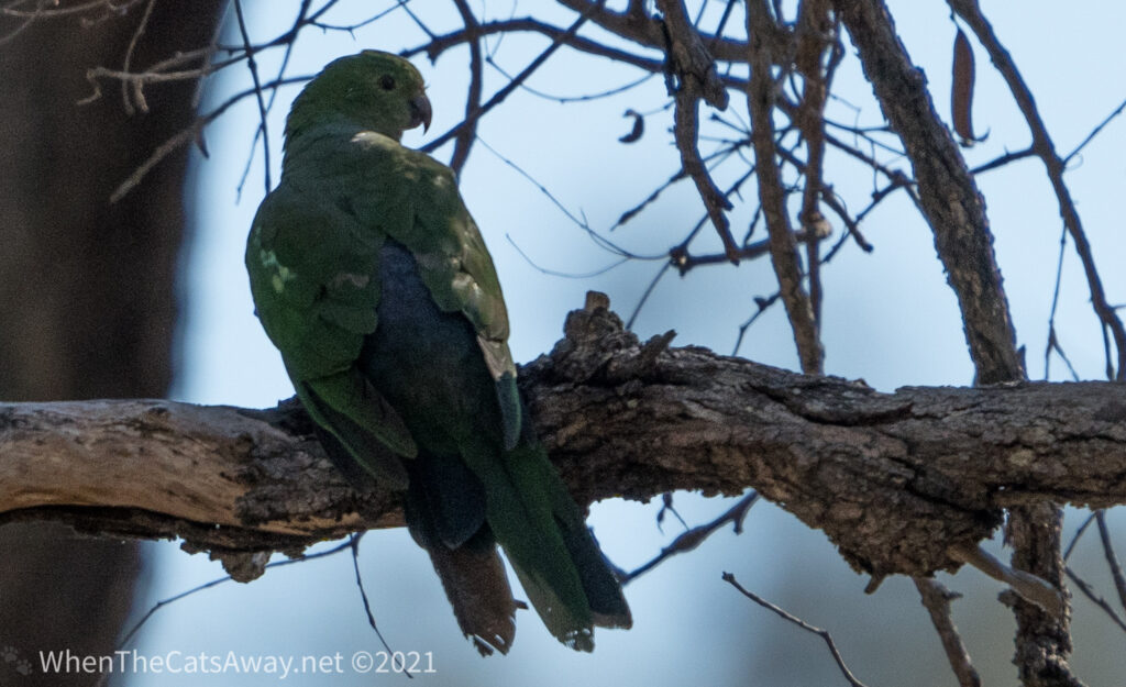
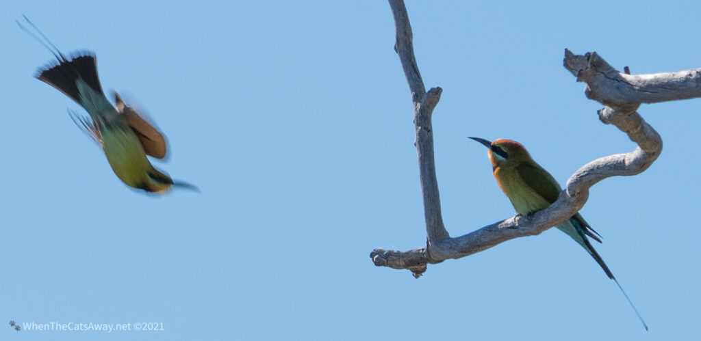
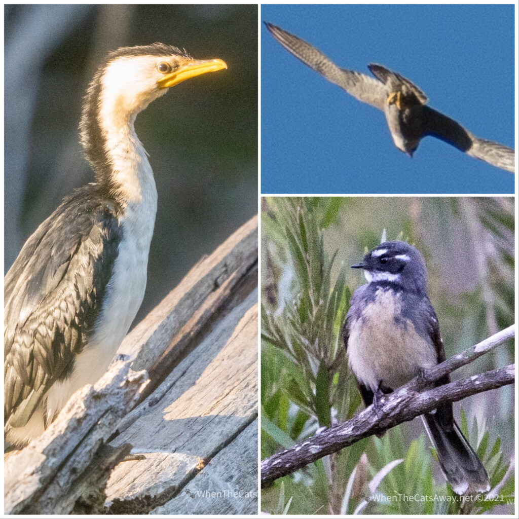
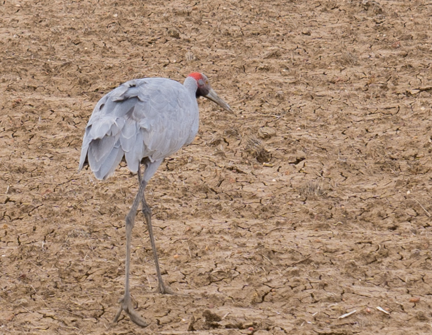
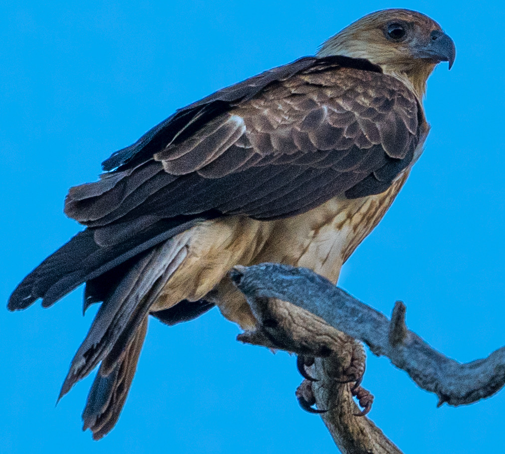
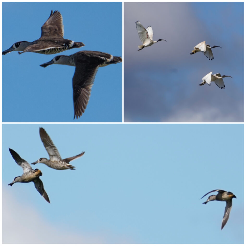
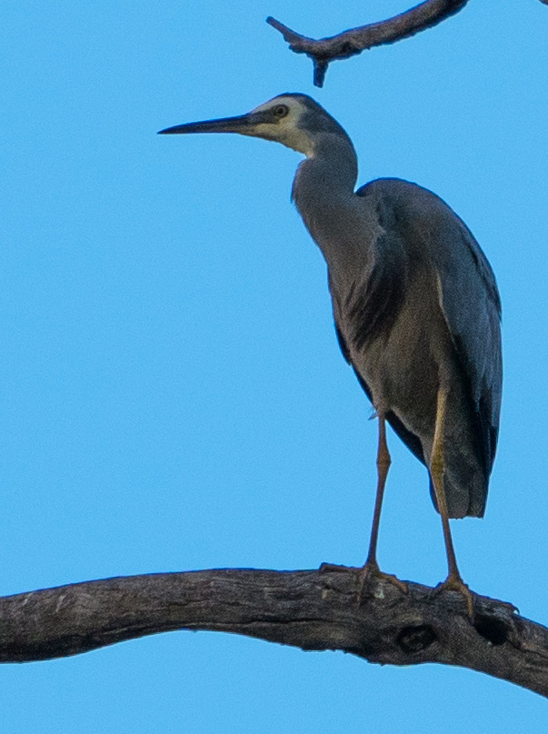
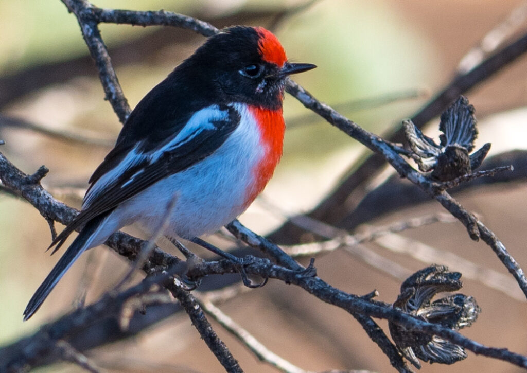
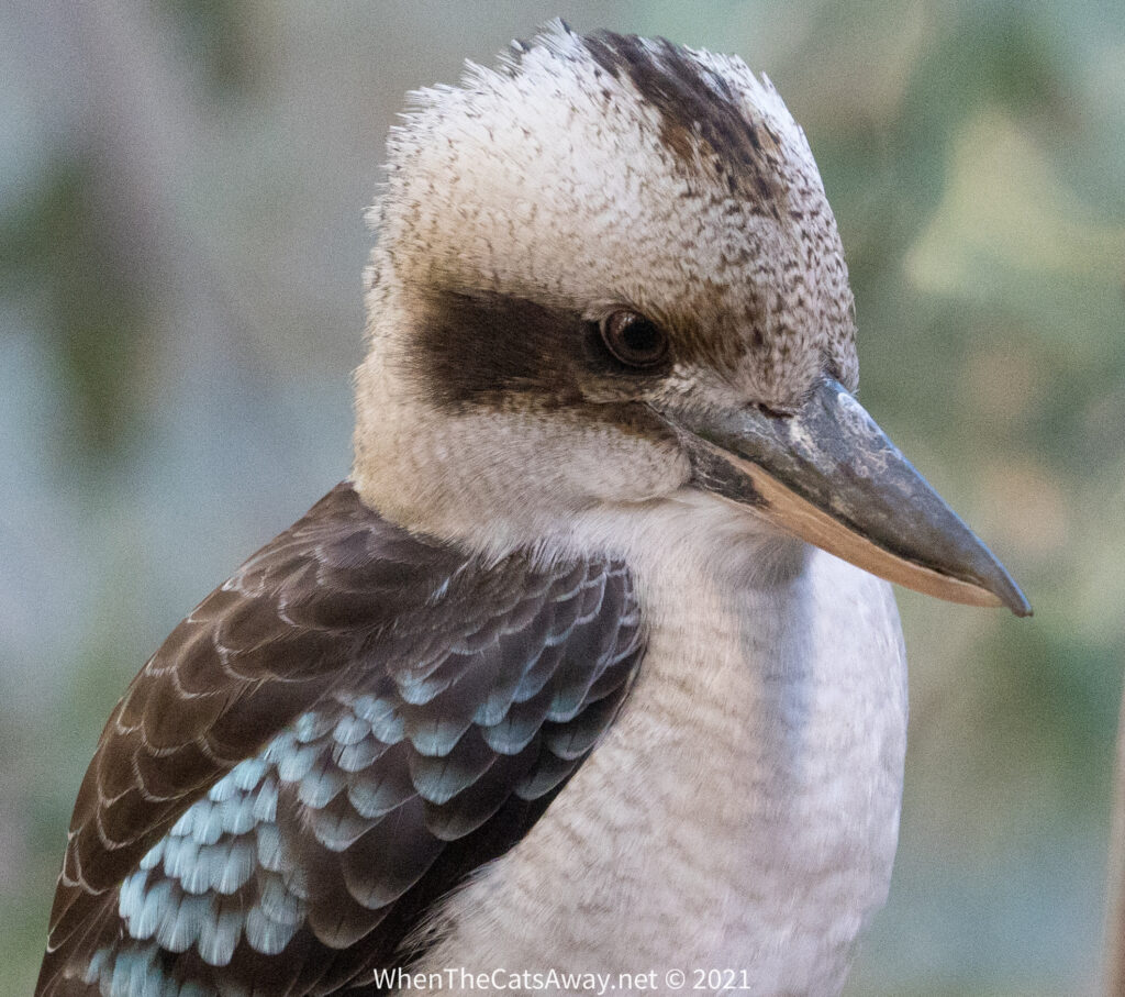
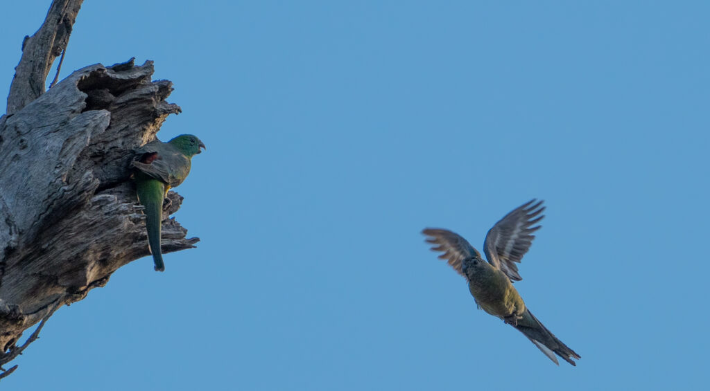
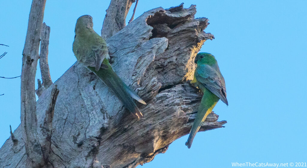
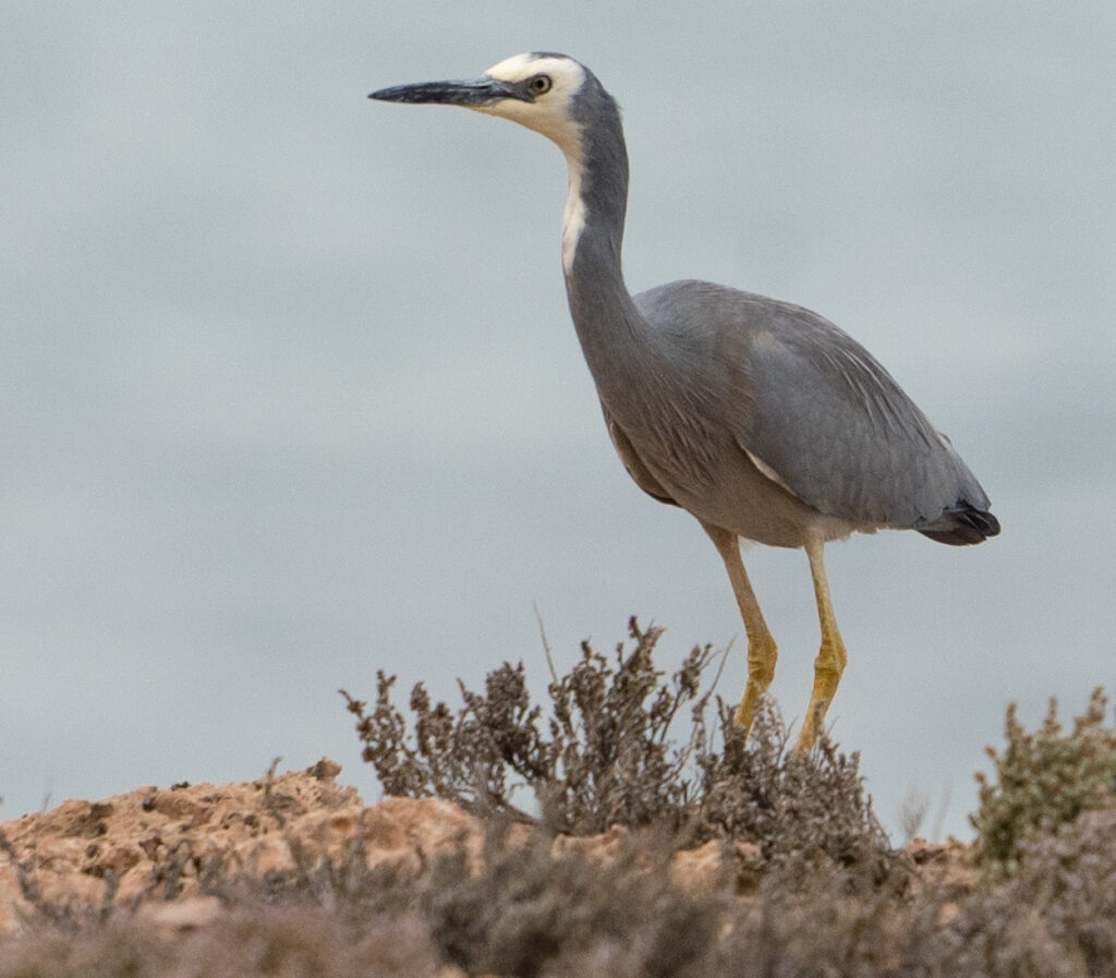
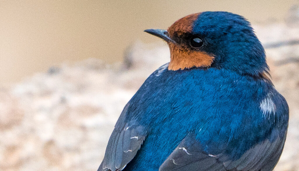
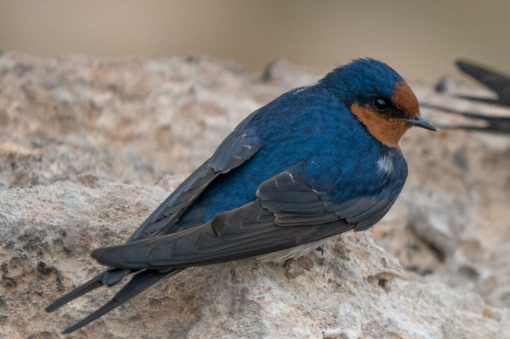
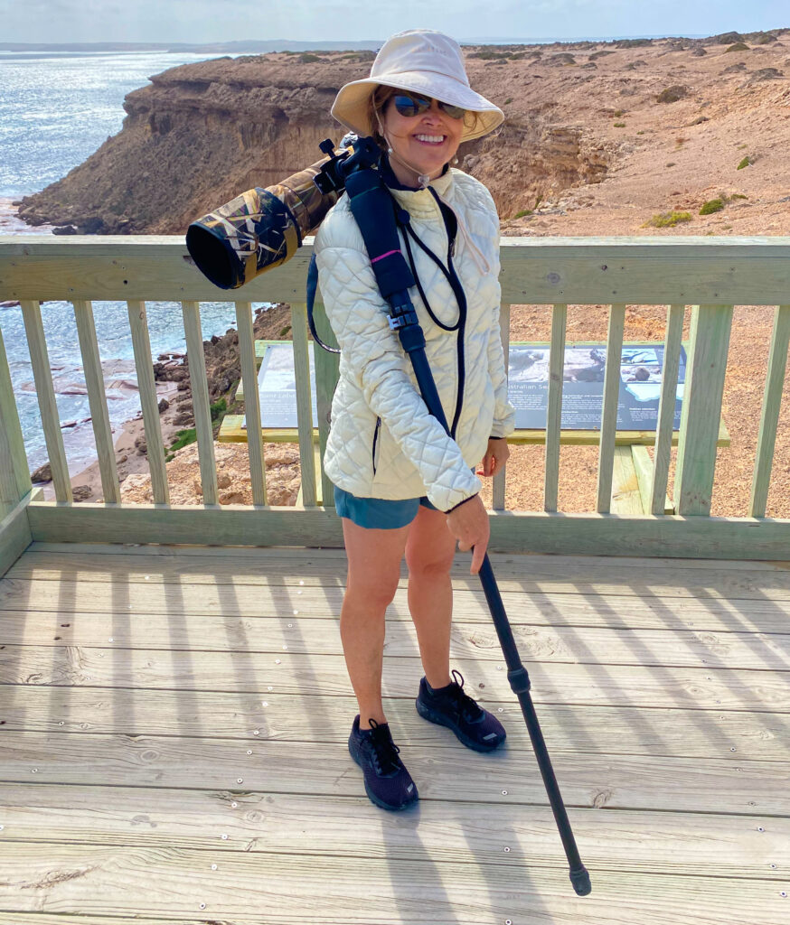
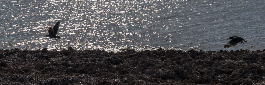
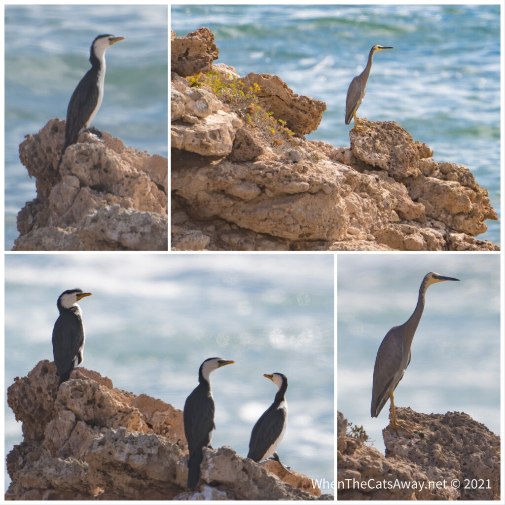
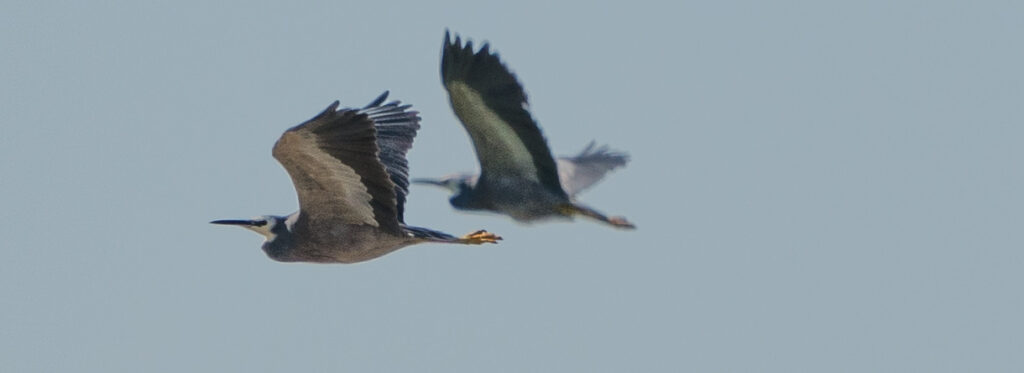
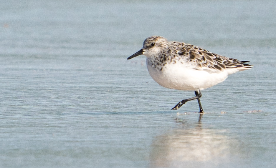
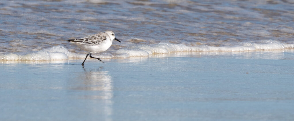
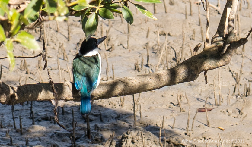
Usually cycling and birding aren’t easy bedfellows, but this ride was to prove the exception. Catherine spotted a kingfisher down by the river bank, and we later discovered it was a type we hadn’t seen before, a Torresian Kingfisher that you only find living around mangroves.
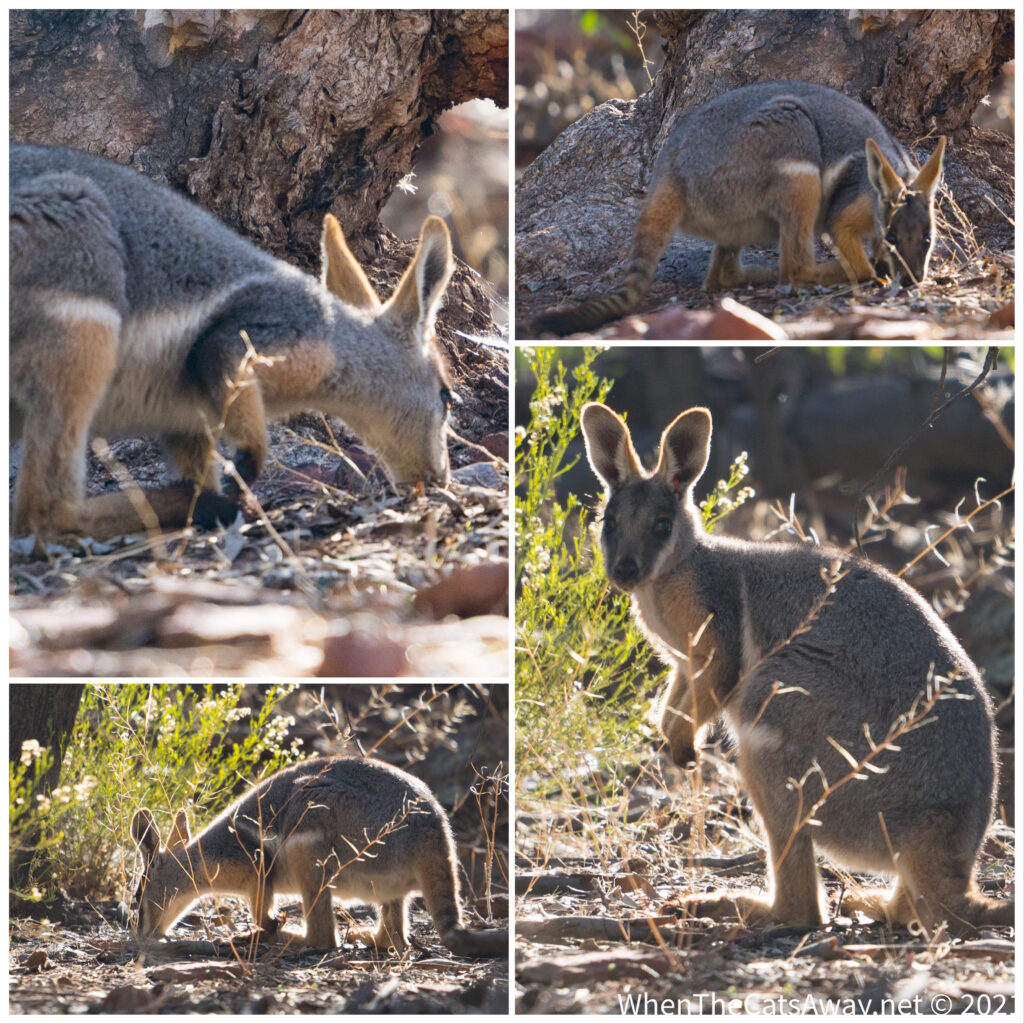
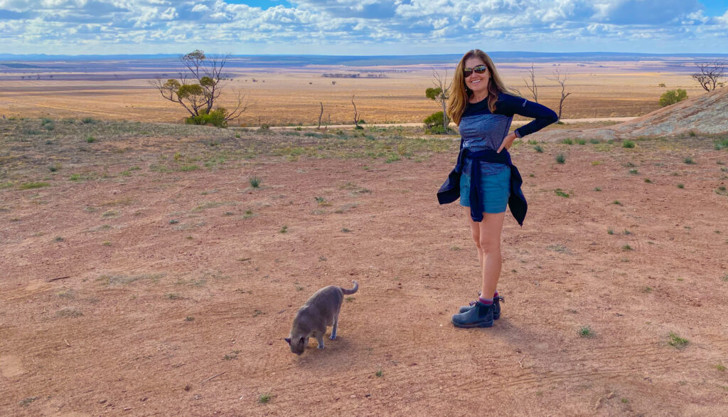
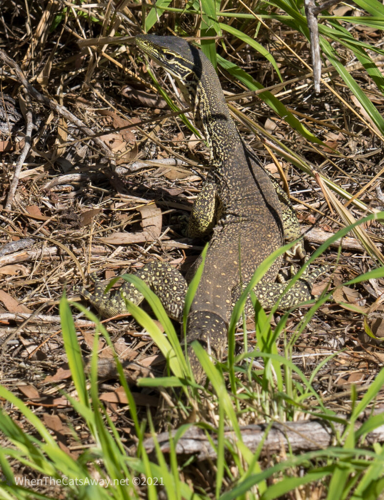
Her sharp eyes then spotted a lace monitor soaking up the sun.
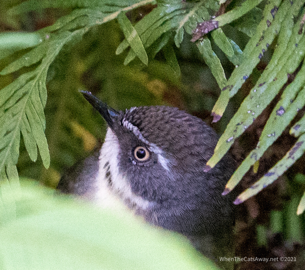
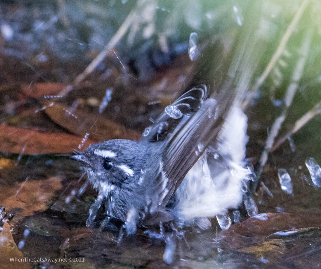
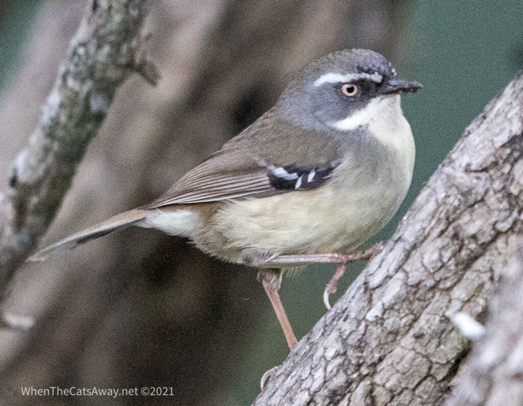
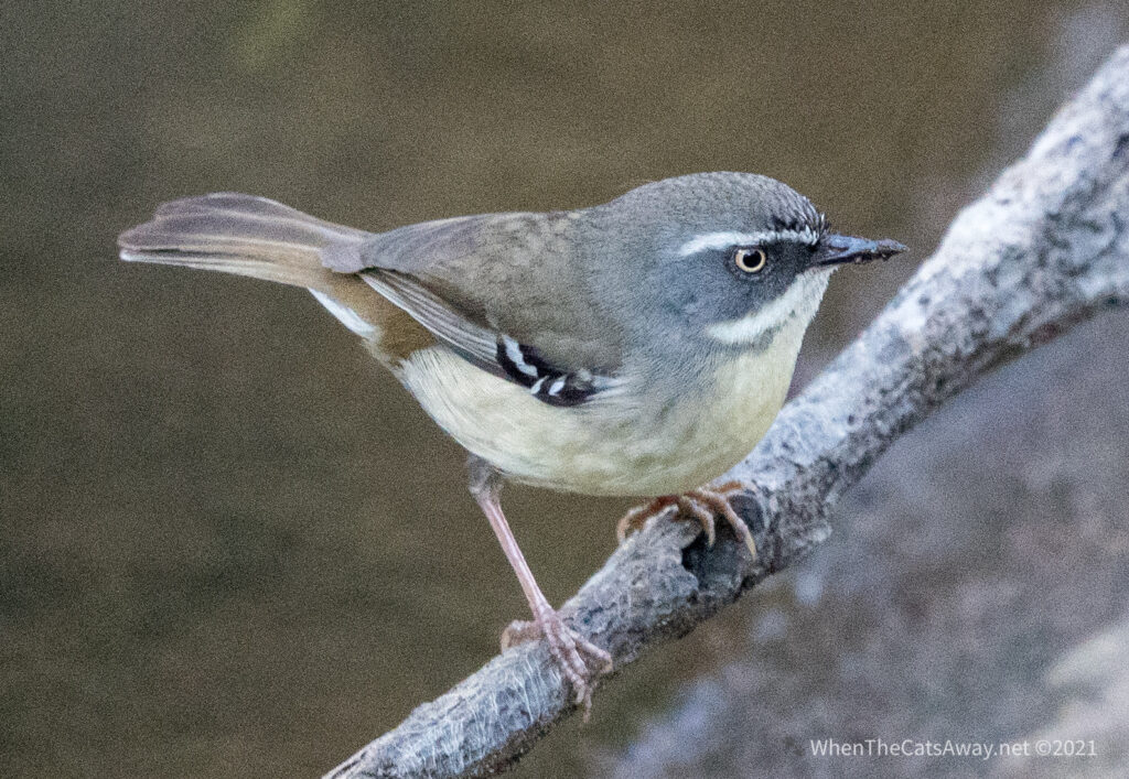
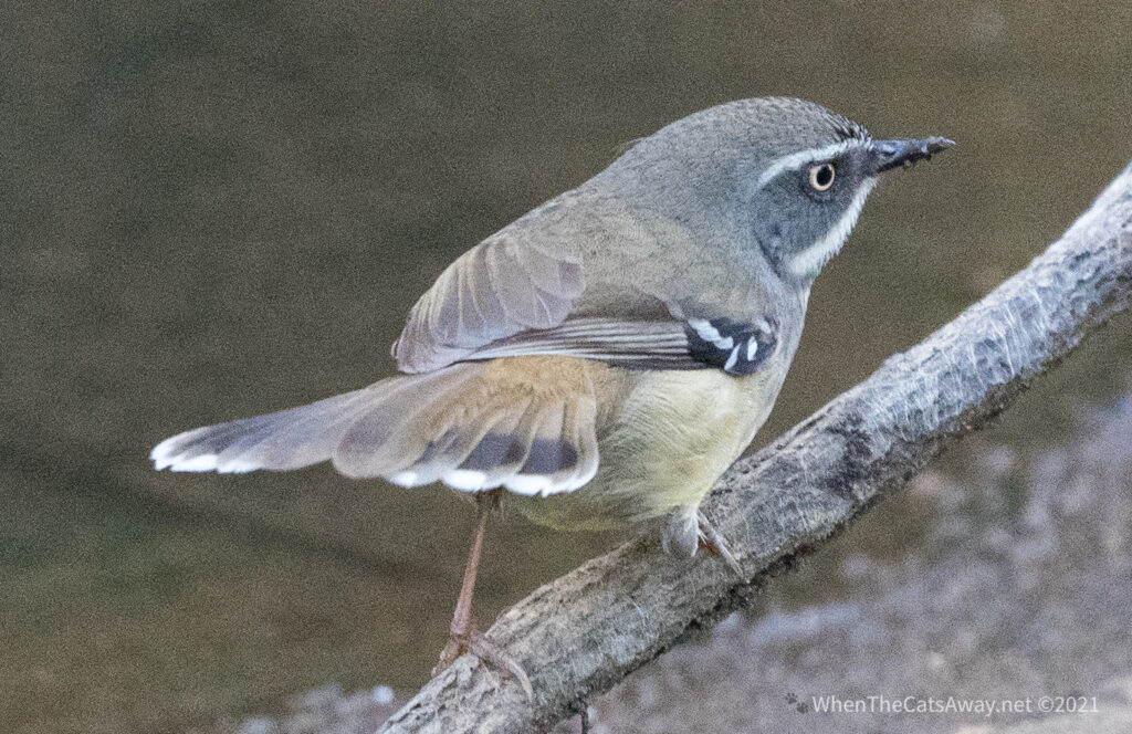
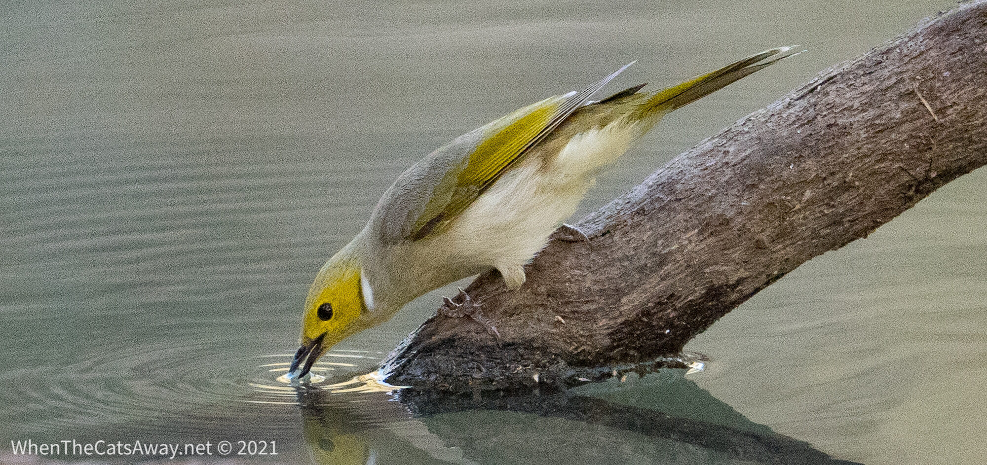
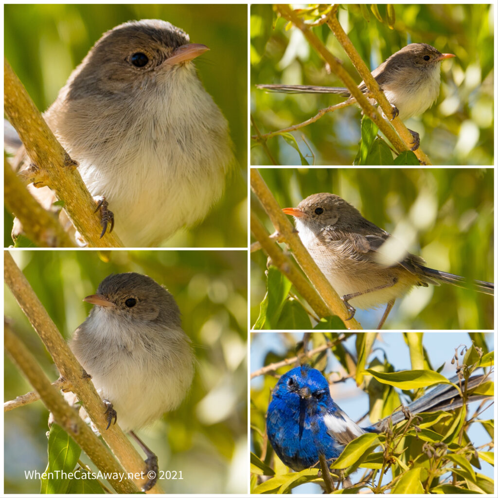
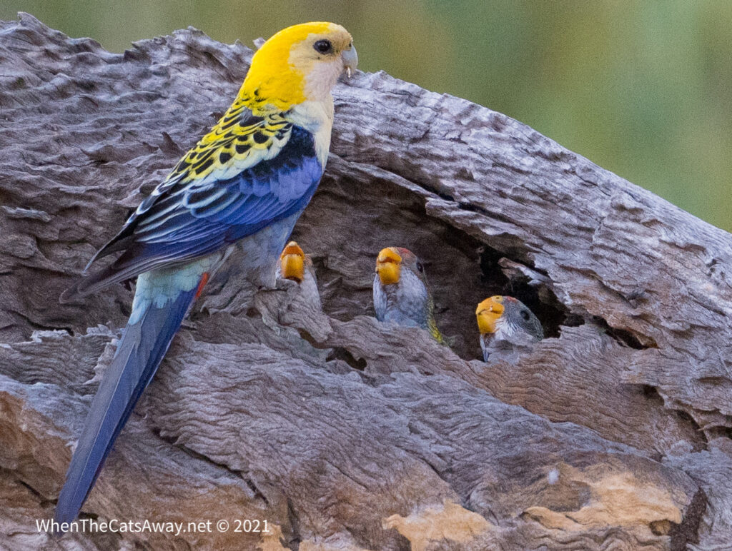
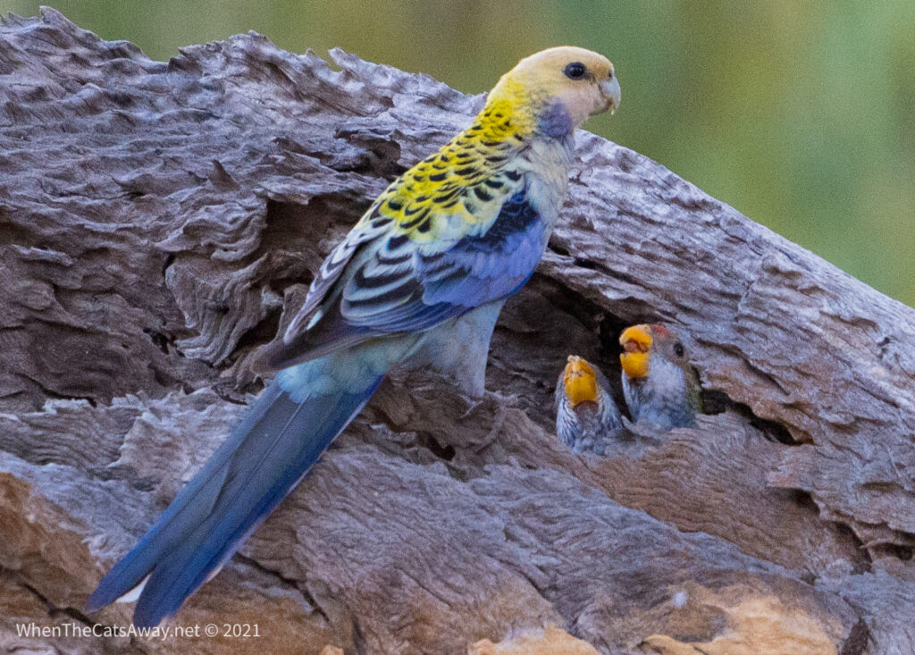
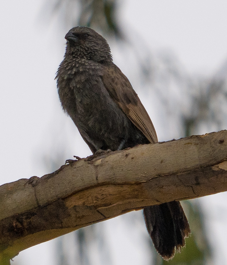
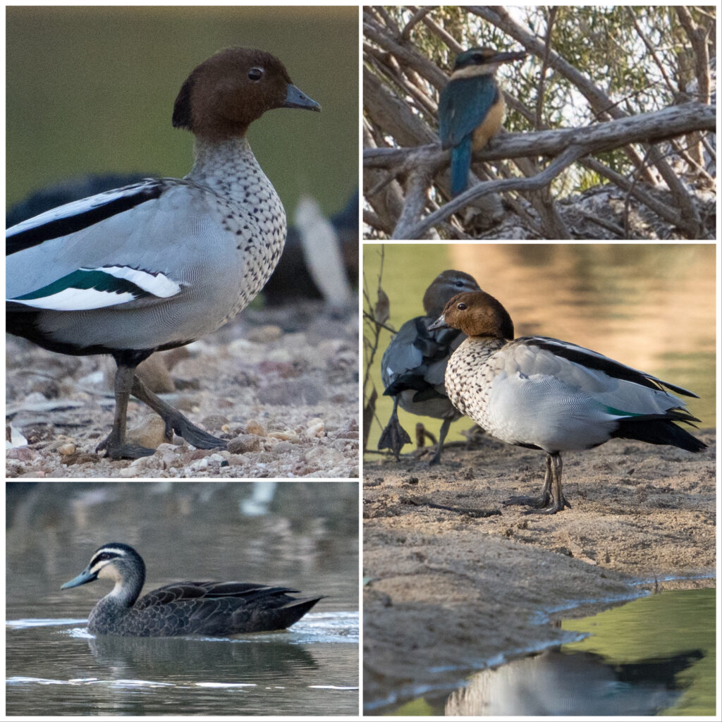
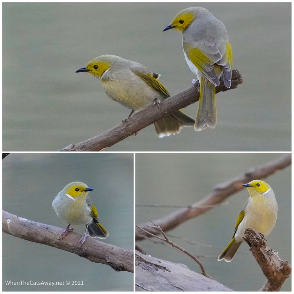
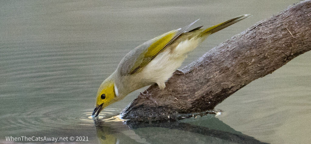
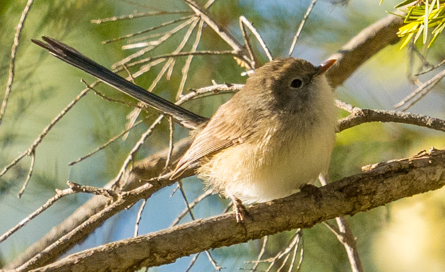
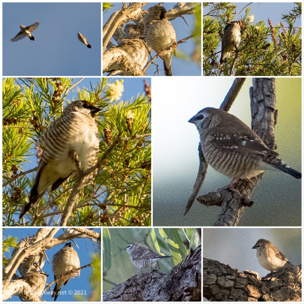
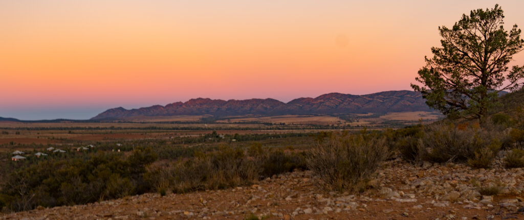
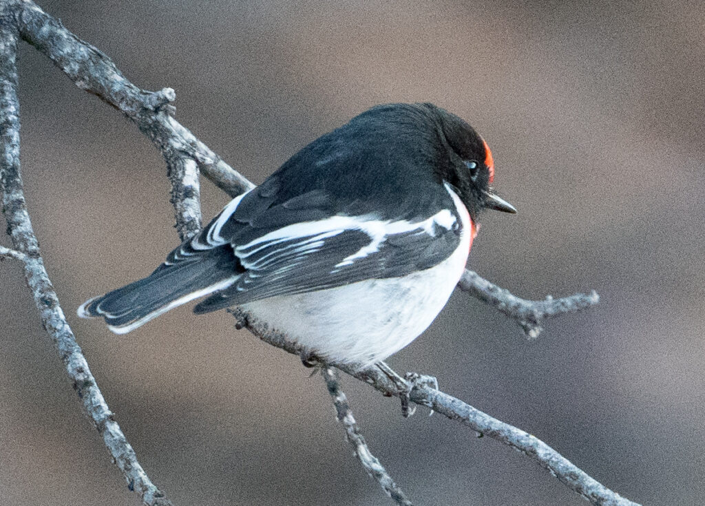
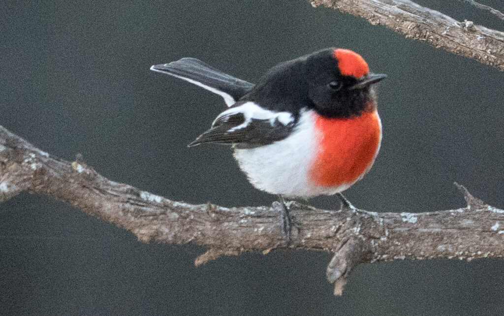
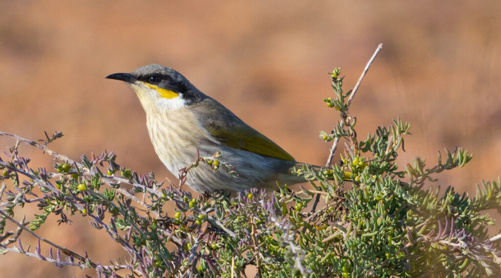
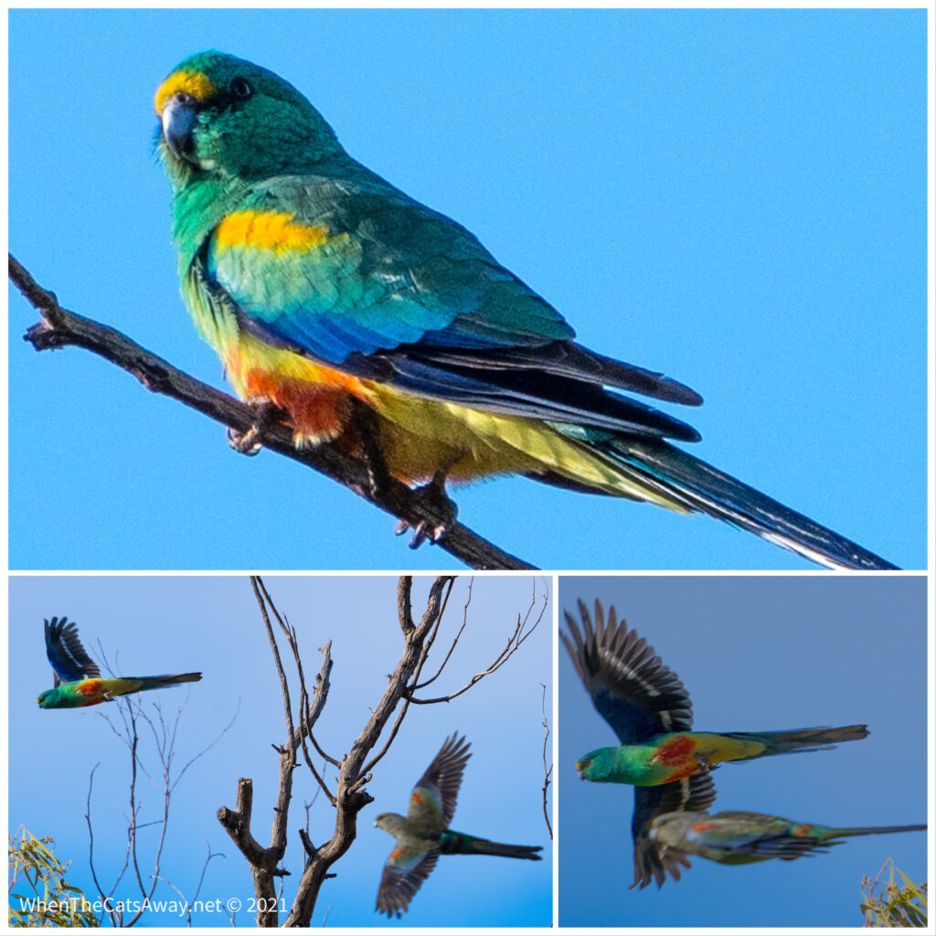
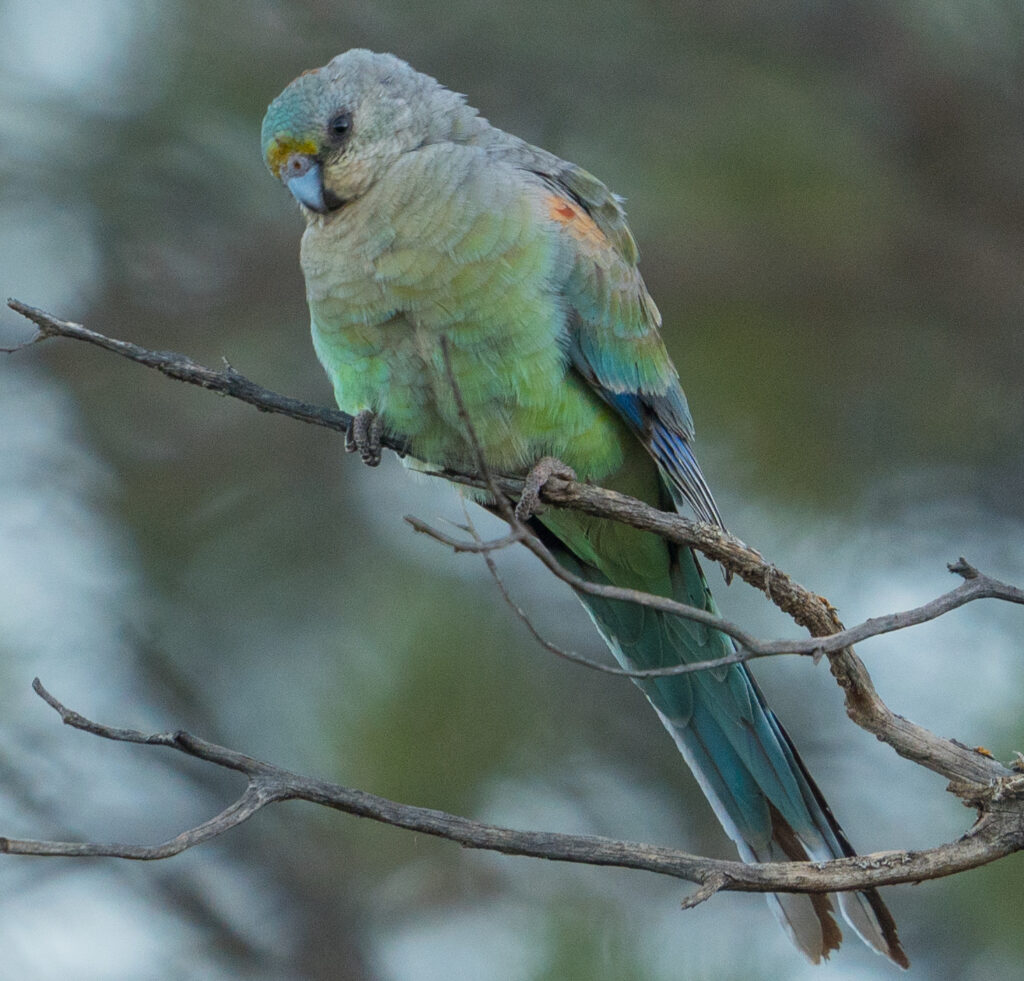
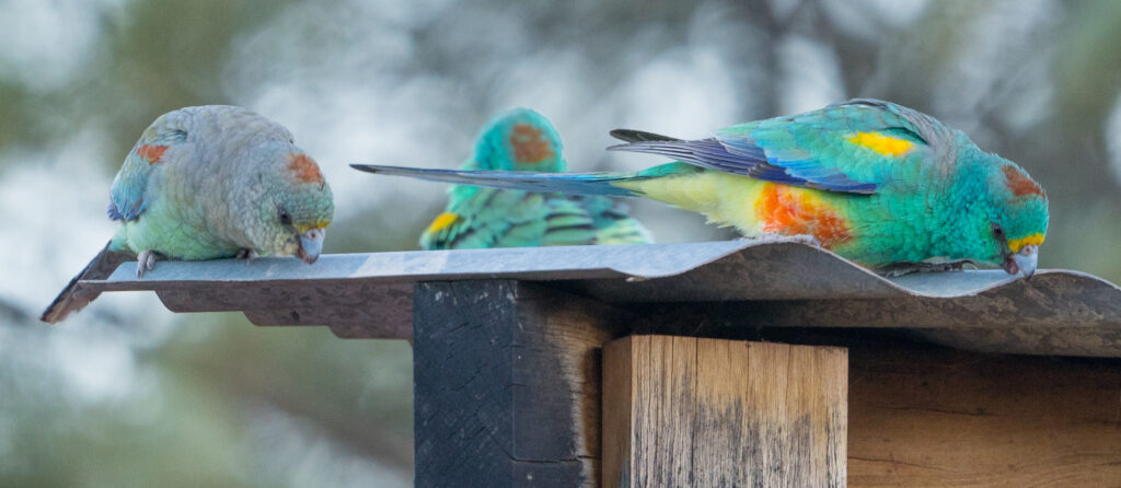
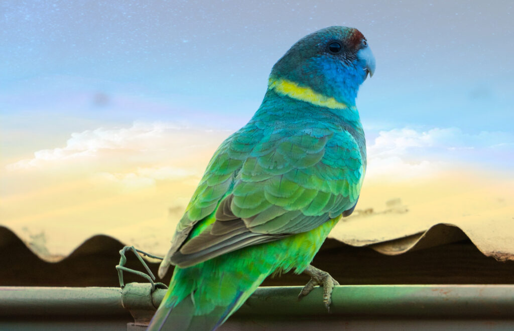
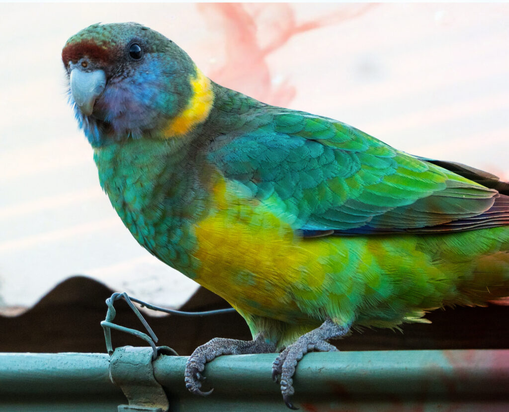
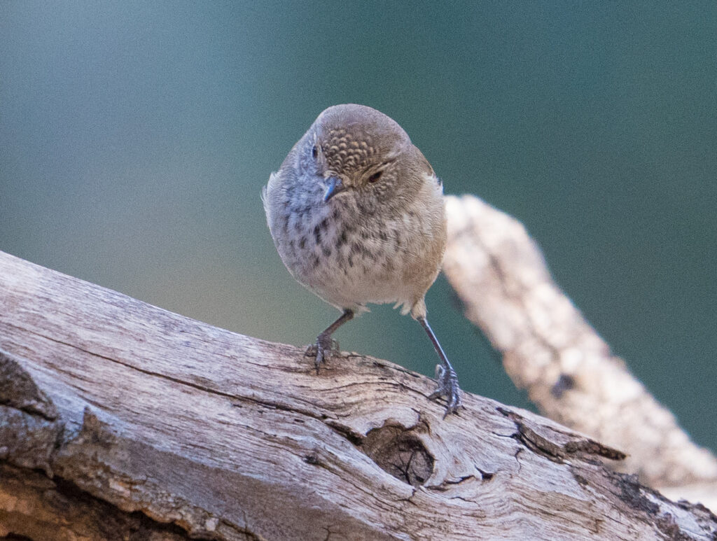
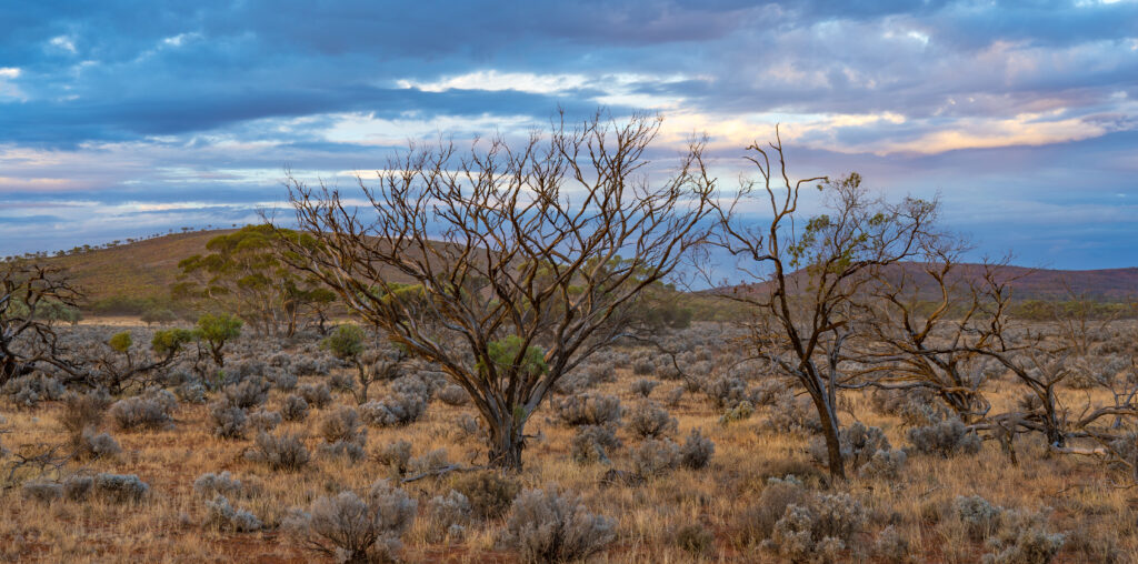
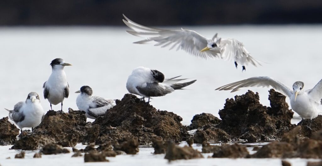
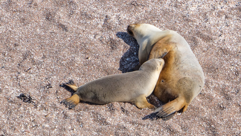
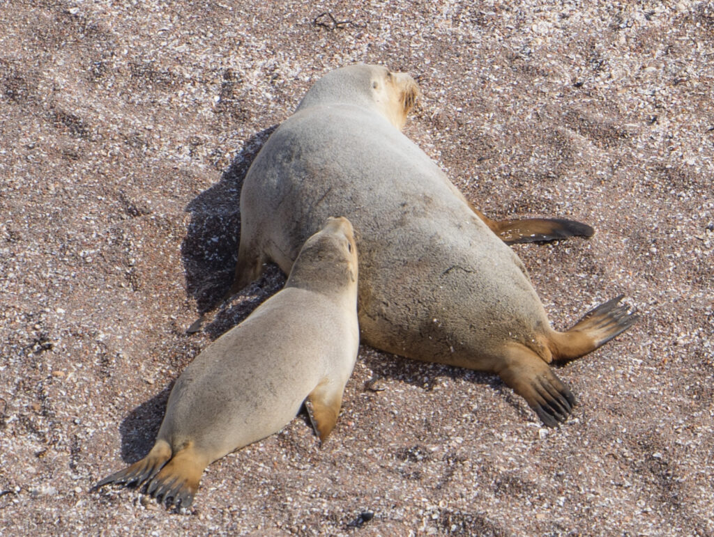
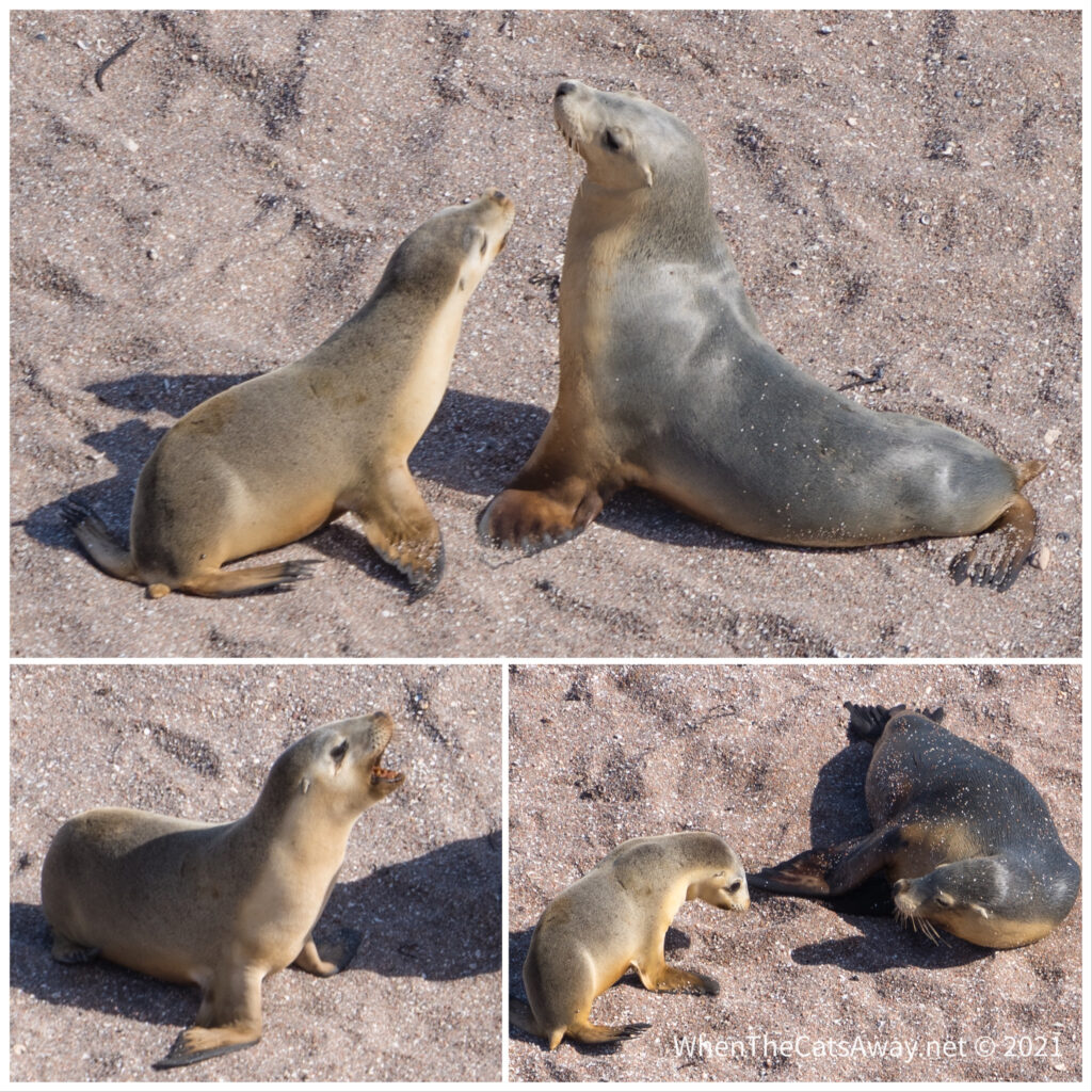
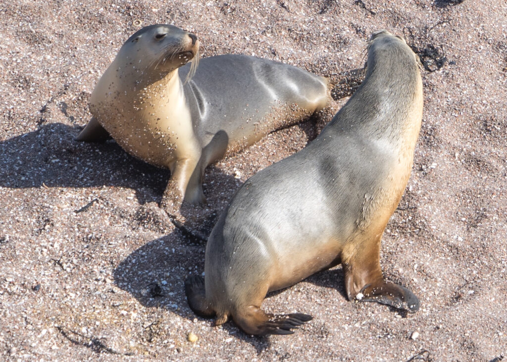
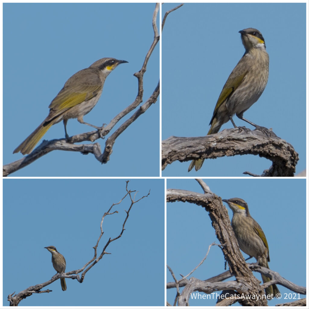
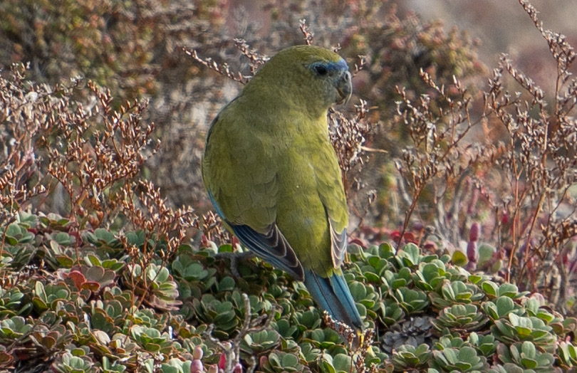
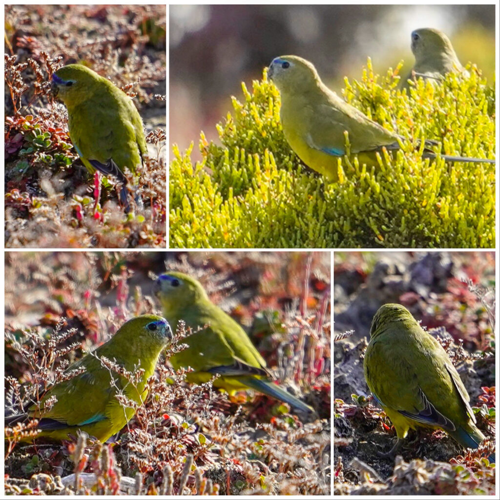
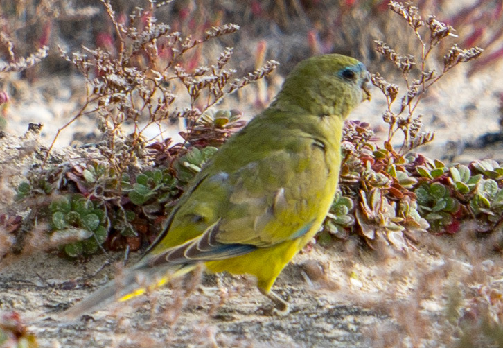
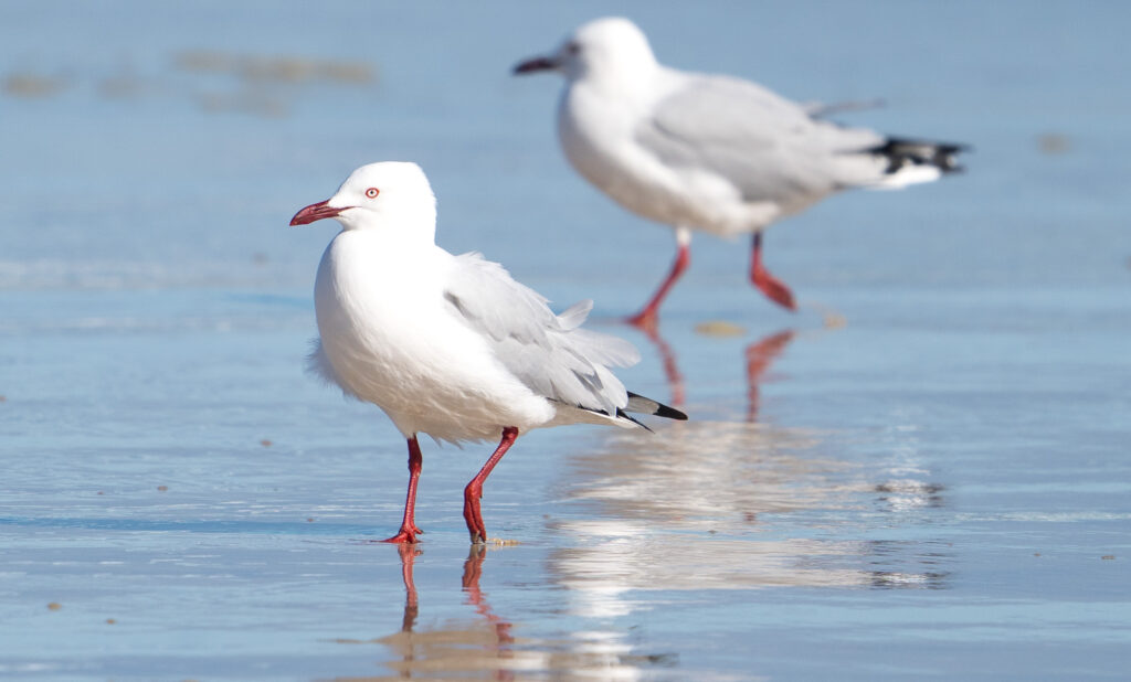
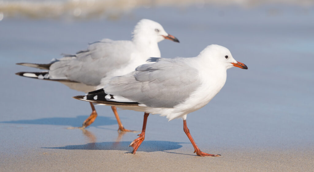
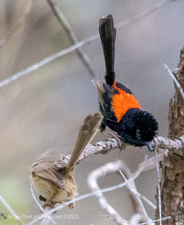
Fairy wrens were abundant, flitting everywhere around the vegetation. Queensland has had some decent rain this year so maybe the bird life is flourishing from this?
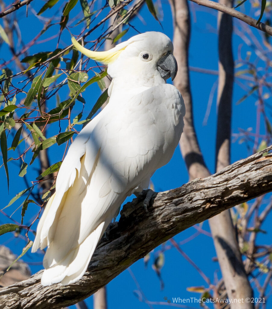
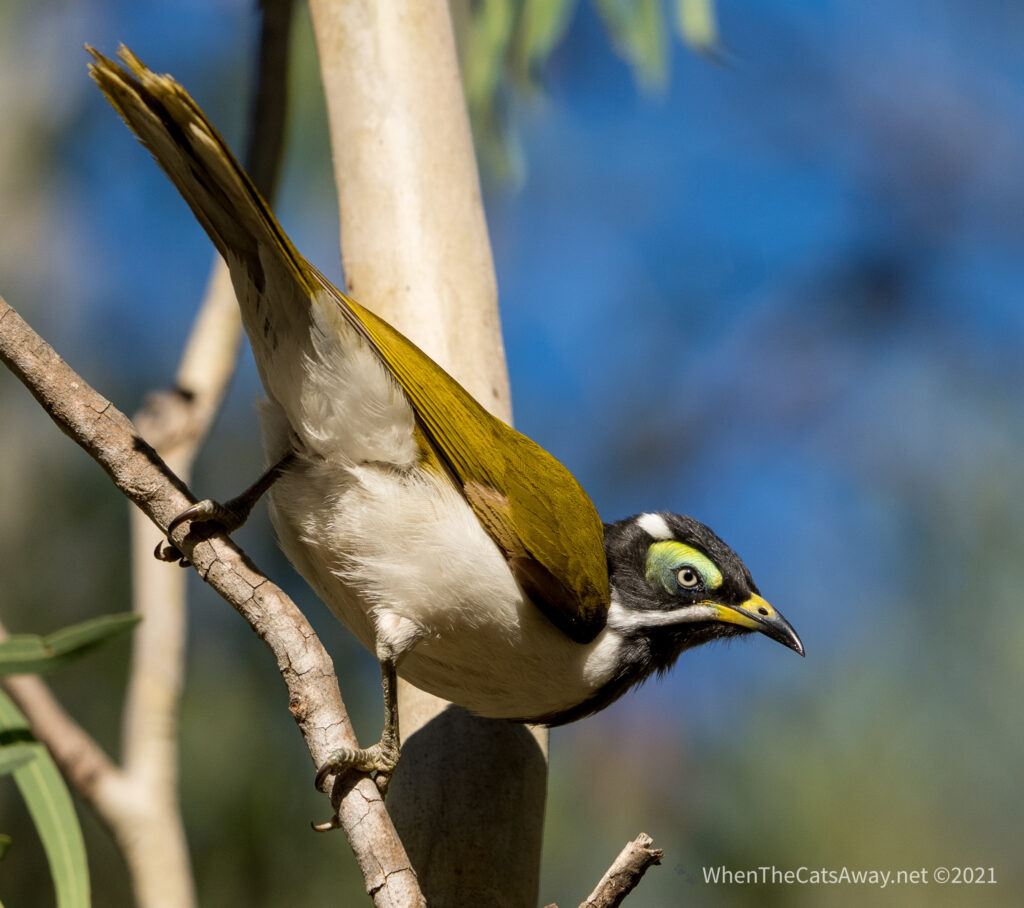
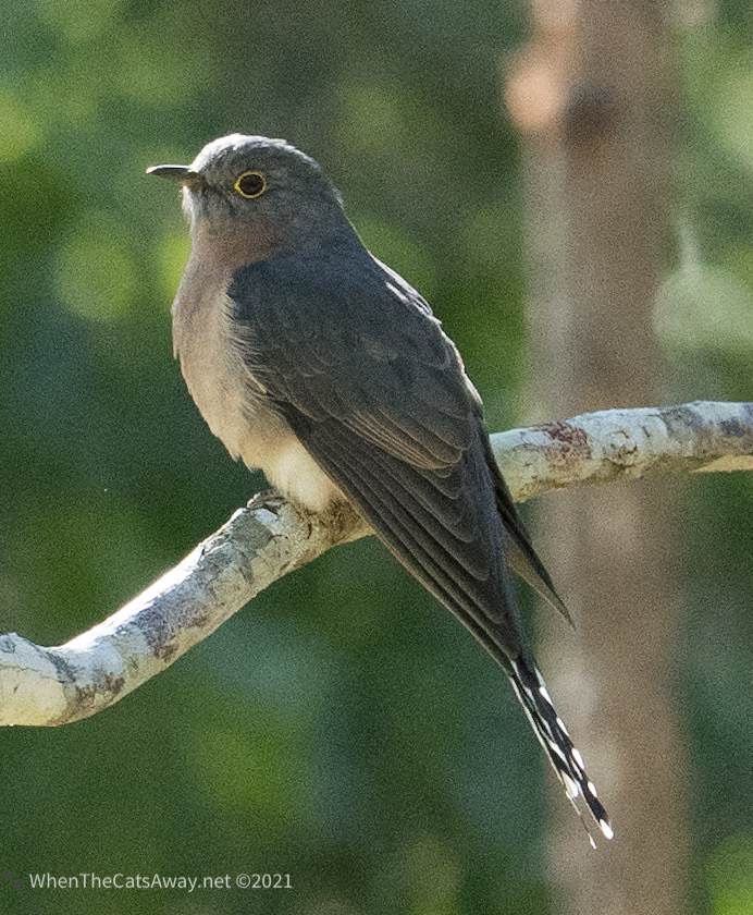
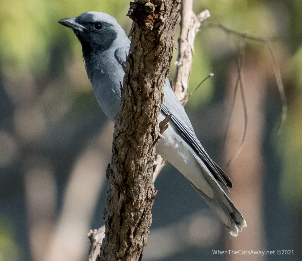
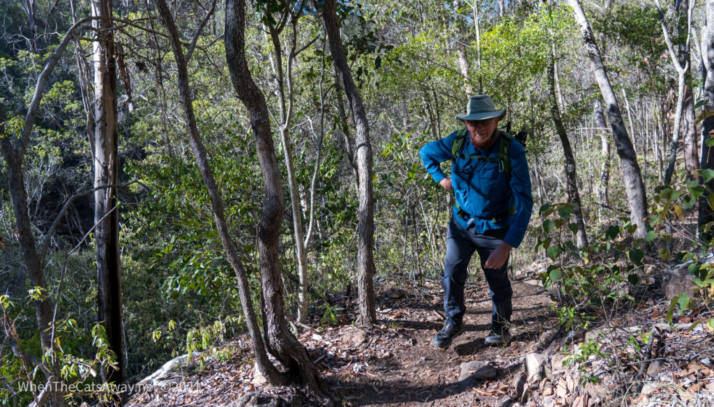
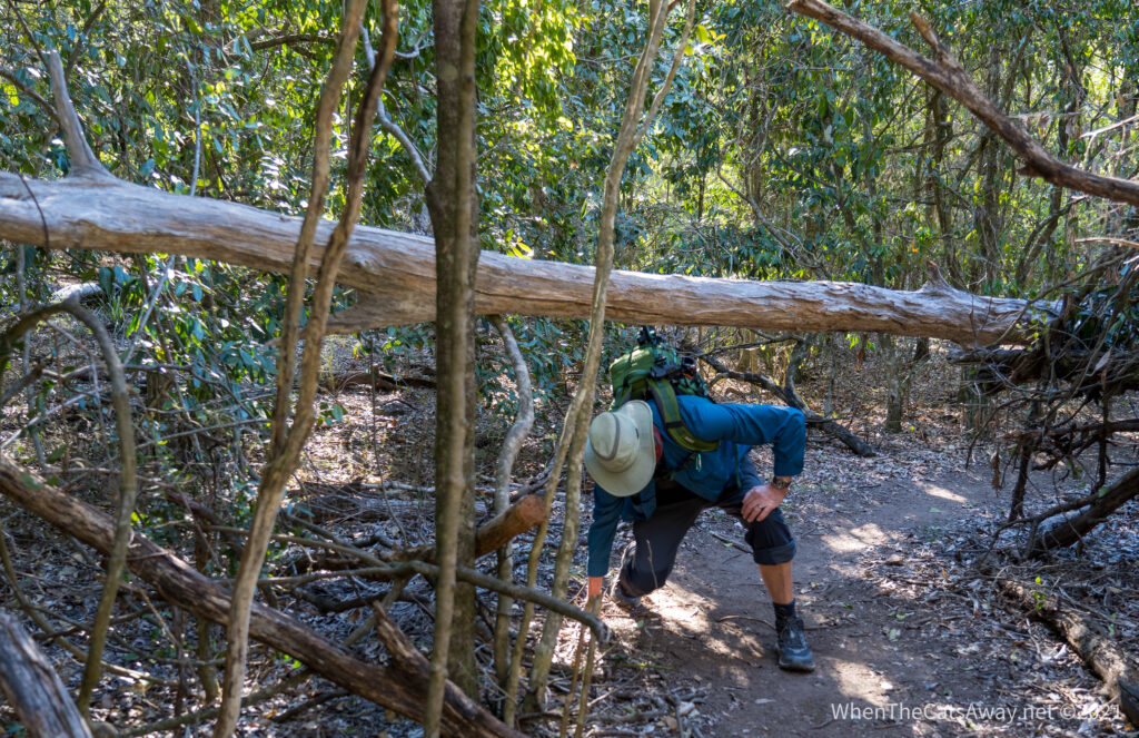
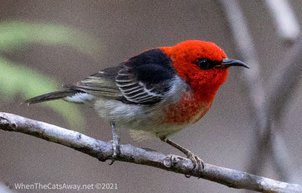
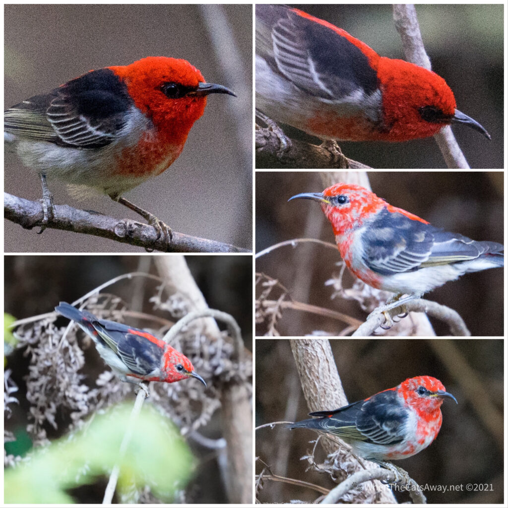
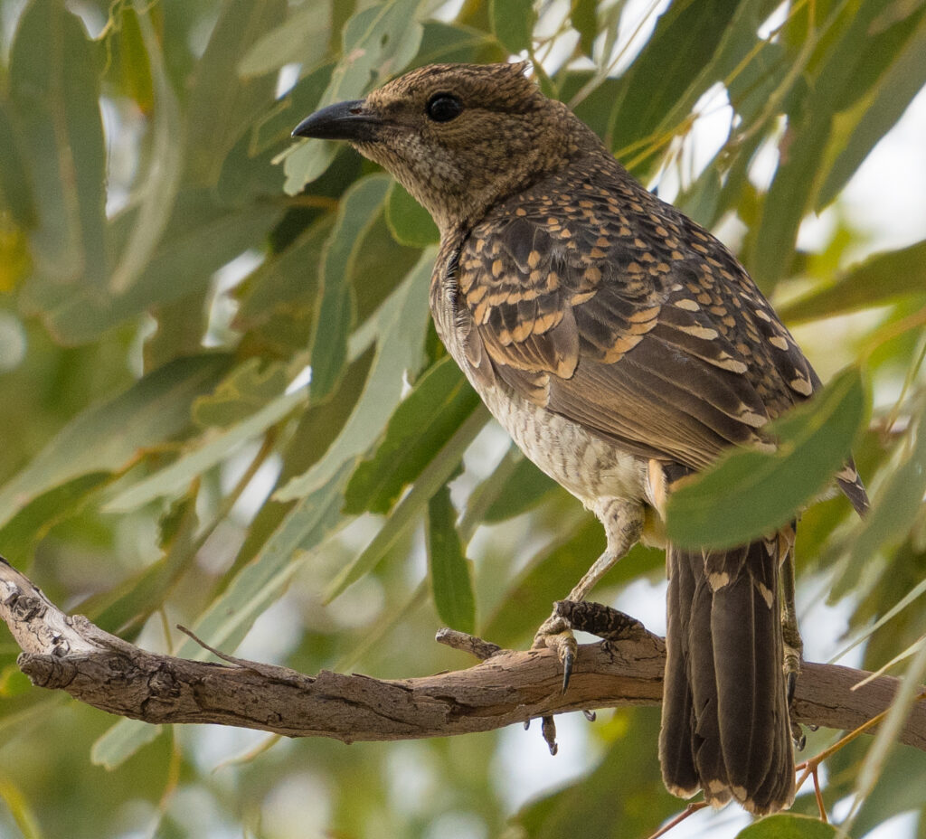
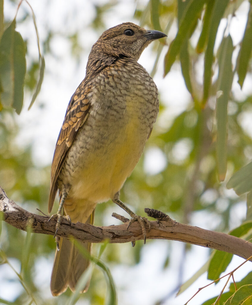
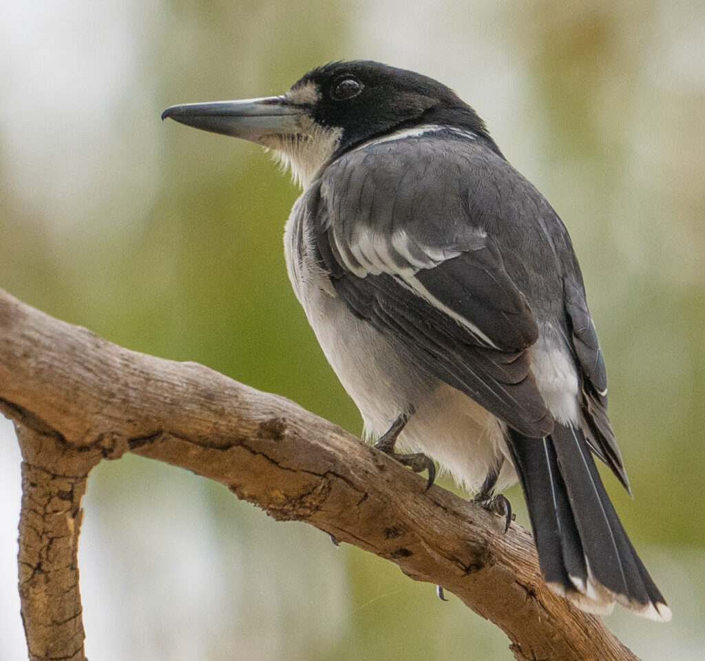
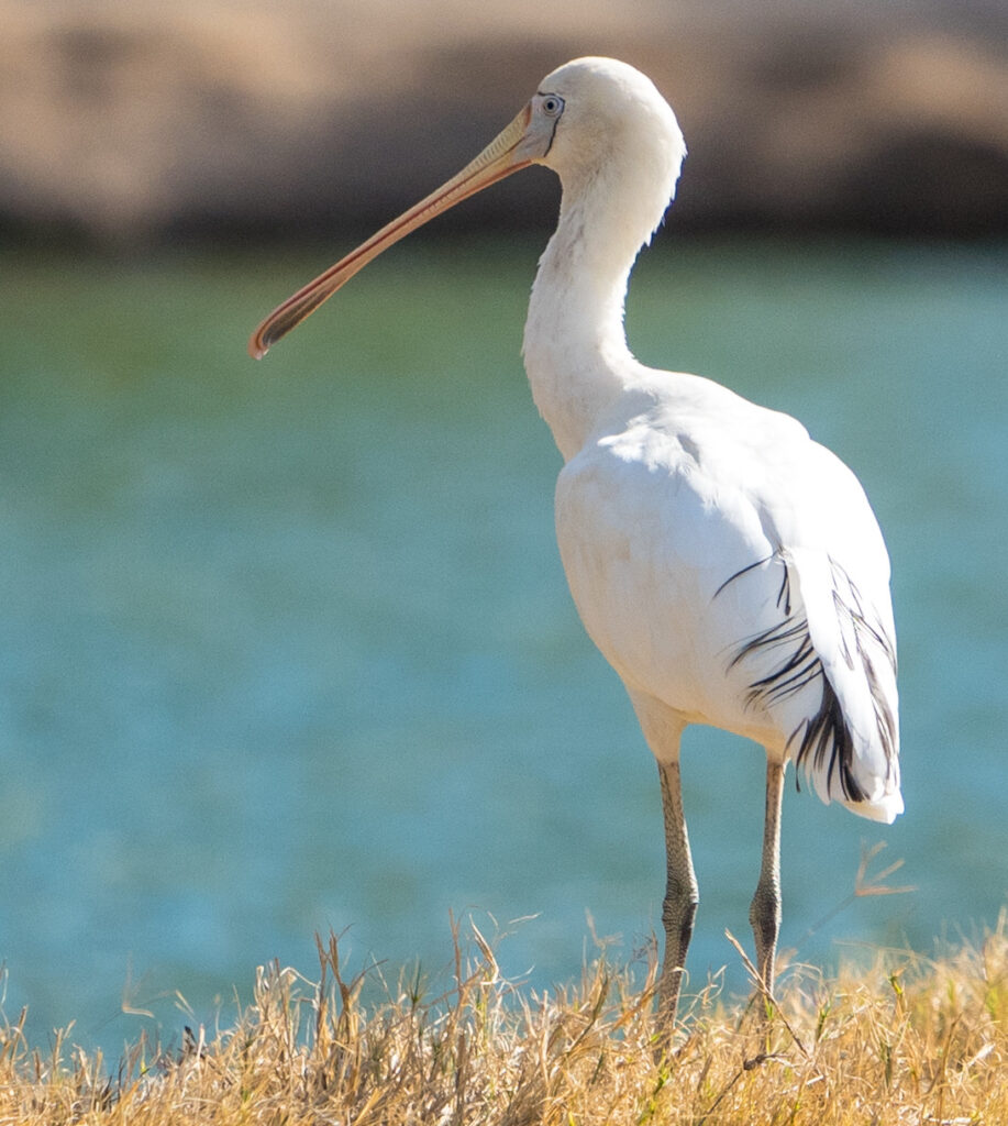
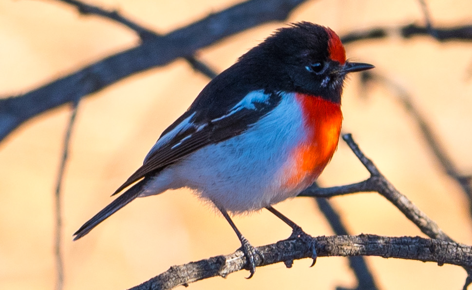
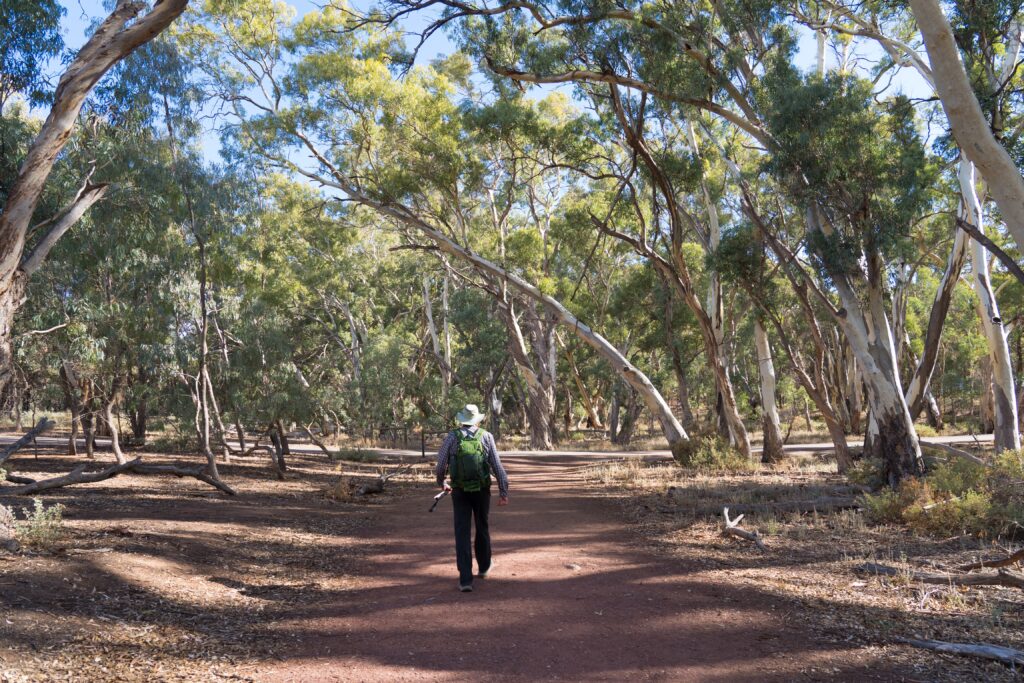
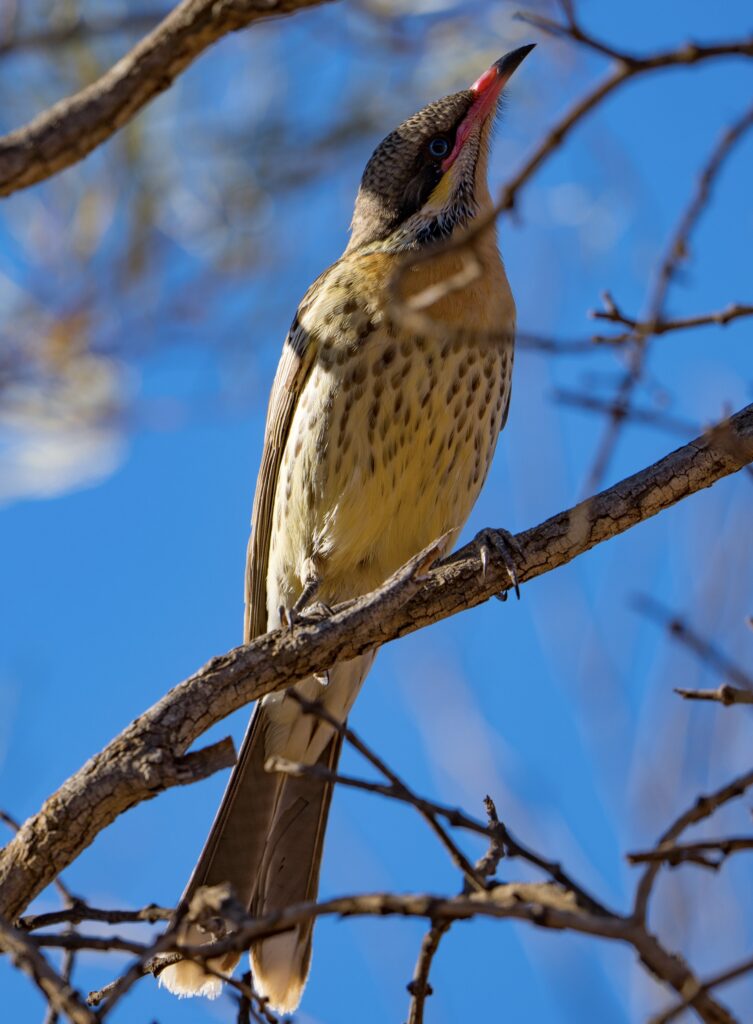
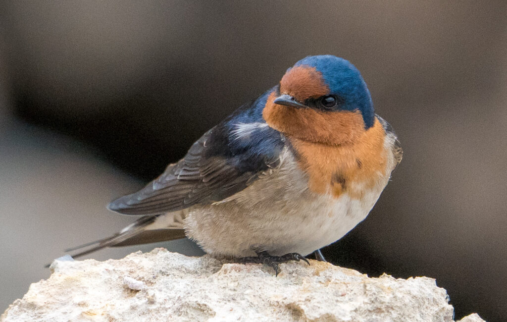
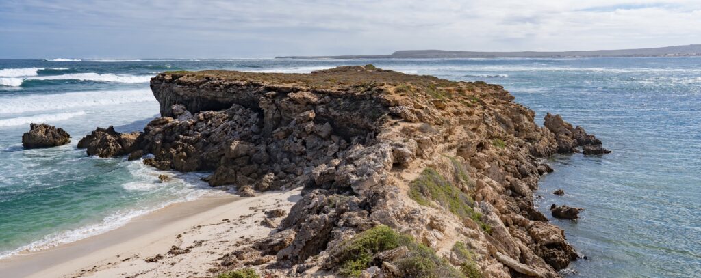
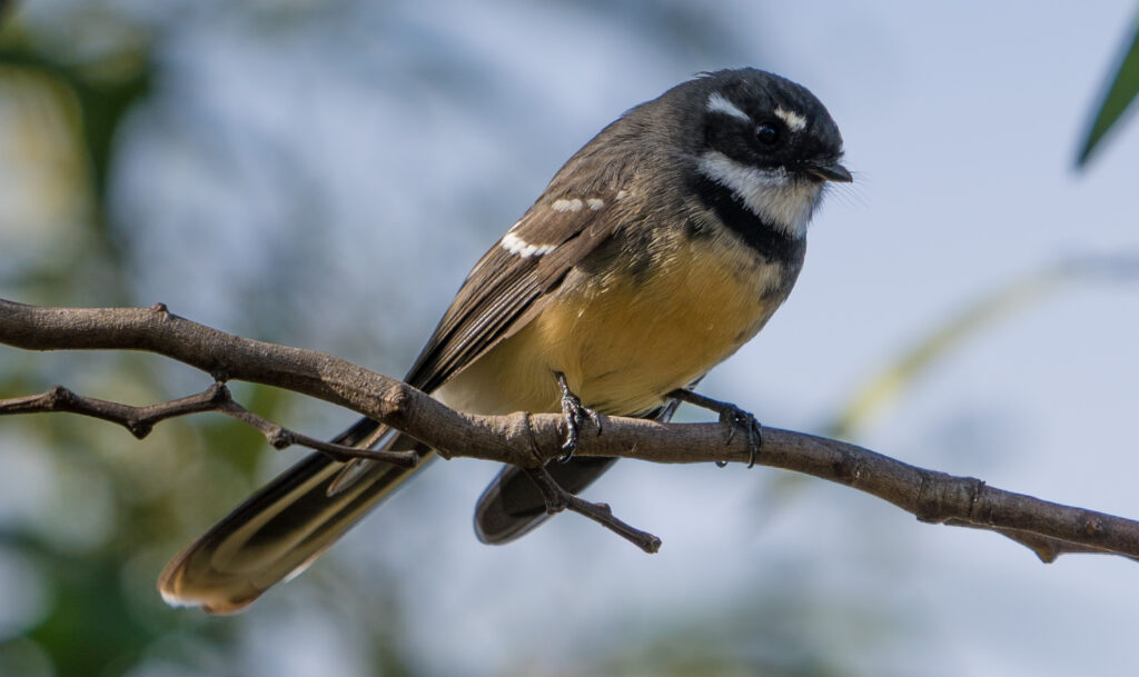
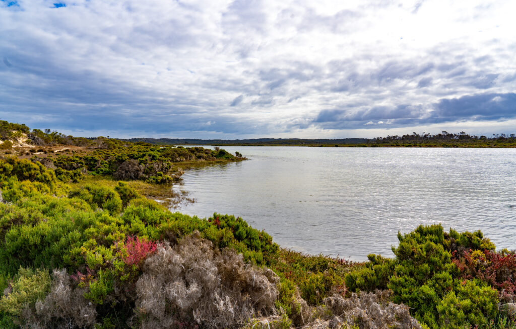
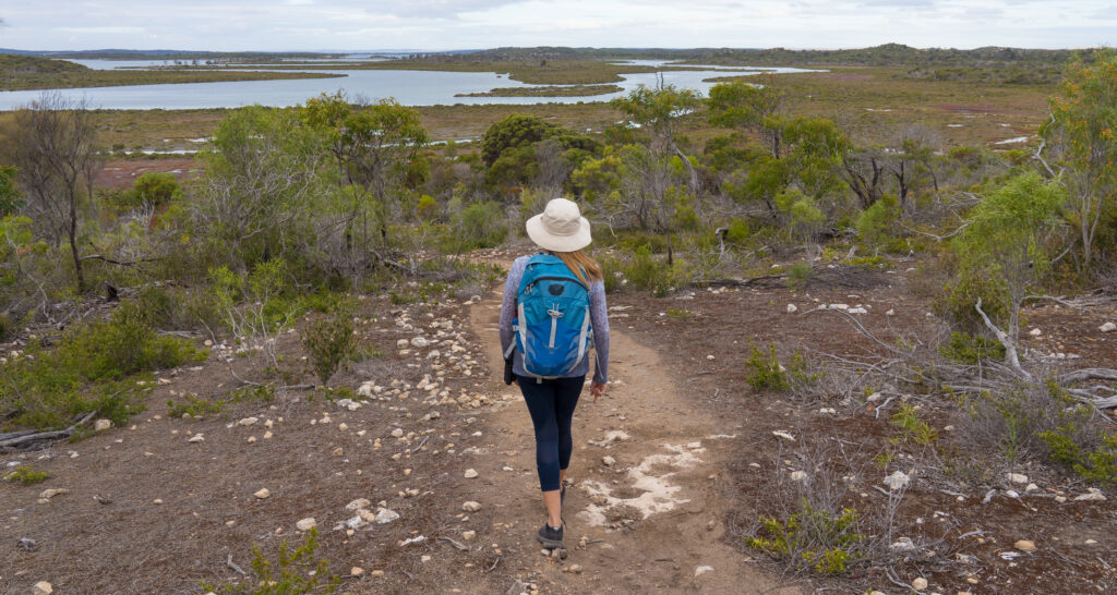
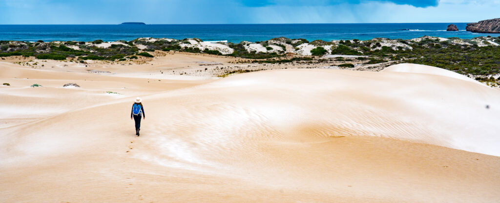
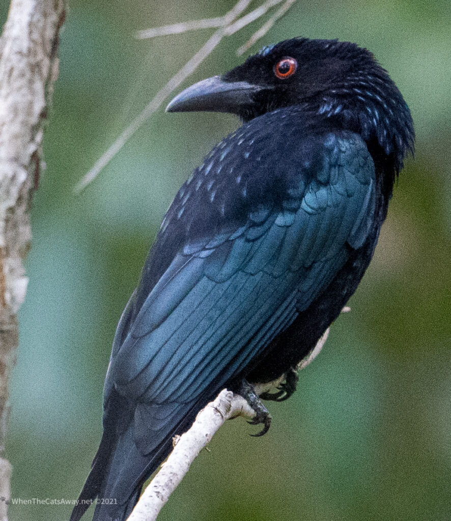
Another day we took a short walk along the coastal path, and had an almost bird free time of it until this handsome fellah turns up. Now here’s a name to conjure with – he (or maybe she they look very similar) is a Spangled Drongo! Curl your tongue round that one. Feels good doesn’t it?
And that’s about it for the fun stuff. Another day was consumed with 5 hours driving to Bundaberg and back as Catherine’s iPad was failing to charge, and that was the nearest repair centre. Despite having just one pin broken on the charging port it was a whole new iPad (out of warranty by 6 months of course!). I would love to know what happens to them. I hope some business is repairing them even if Apple won’t, and on-selling so tech like this doesn’t just end up in landfill.
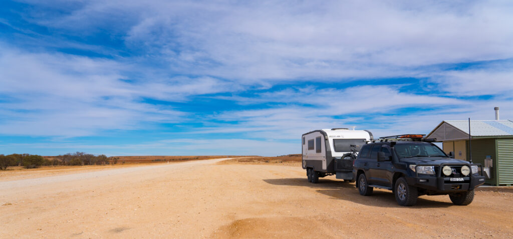
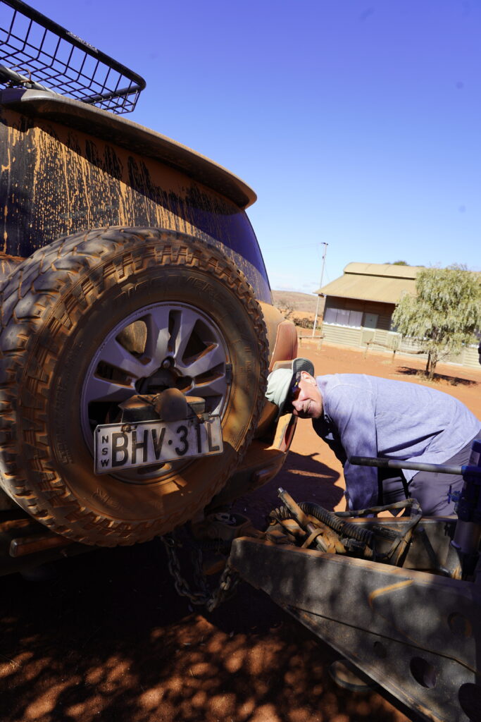
While we were there we also managed to get a new car tyre to replace our punctured one, sort out charging for our remote solar panel, get Catherine’s bike tyre and gears fixed and pick up prescriptions and other medical supplies. So a productive day all in all.
Then the nightmare started. We had noticed signs of mice being in our car after camping at Carnarvon Gorge. We had left an apple in a rucksack, and just thought that was a one off. The next day there was even more damage inside with lots of shredding of our possessions in the vehicle, and a very unwholesome smell of what we assumed was mice urine. Well it seems they liked our car so much they decided to settle in long term.
We emptied out everything from the car, a feat in itself as we are carrying a lot gear given we are full time travellers. Everything was cleaned and washed. We tried to get mice traps, and the supermarkets had sold out as Queensland has had a mice plague this winter. We only found poison-bait, and put this down. The next morning this was scattered all over the vehicle, but no sign of the mice, except scurrying noises every so often in the ceiling cavity.
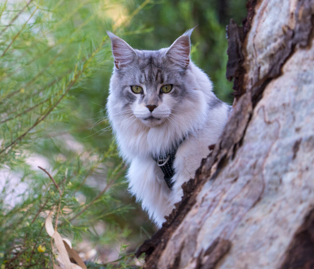
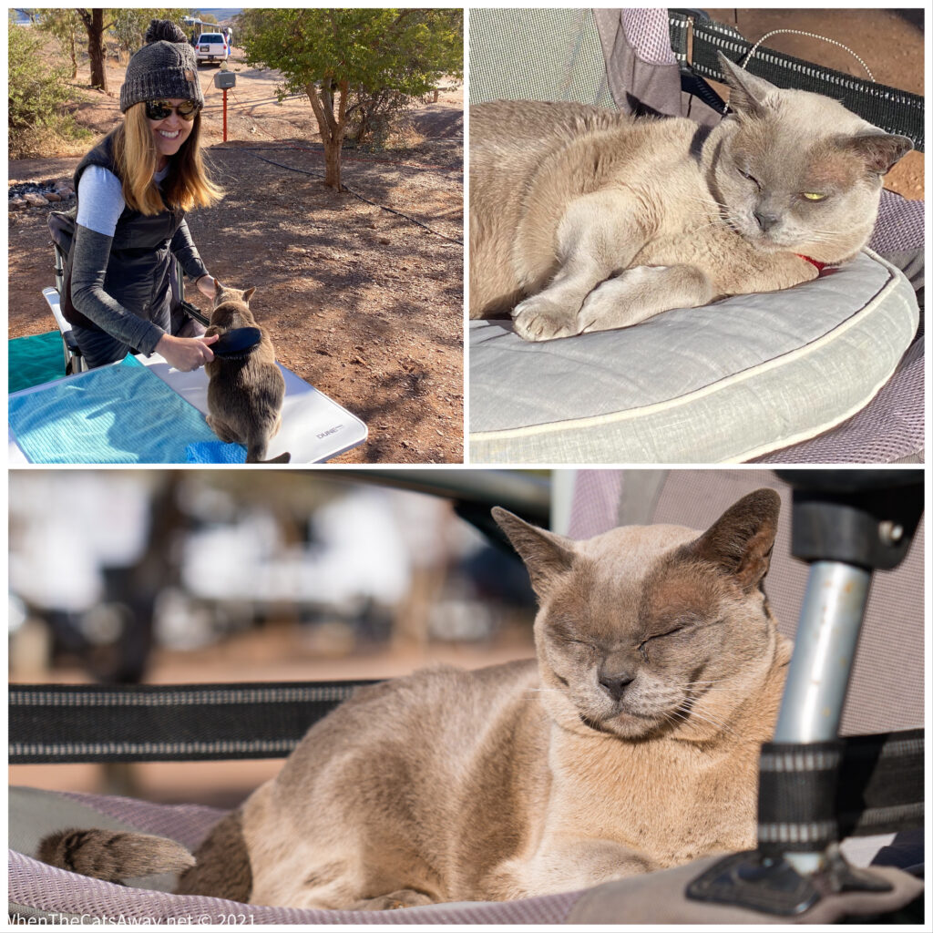
Now, given we have a cat you’d think she would be of some use in this situation. Oh no…she has been completely oblivious to them, our little princess. The car has been emptied again and again and cleaned, but to no avail. We’ve tried cotton wool soaked in peppermint oil stuck into the air vent system, the car smells like a Polo-mint factory, but despite what Google Scholar says, the mice seem to be immune. Perhaps they are breathing easier though their little noses, but disappear they haven’t. We’ve tried driving the car to quiet spots and leaning on the horn for ages, another recommendation. Other than giving us both a headache and reminders of driving in Italy, it seemed to have no impact on the mice.
So we have managed to find one dodgy looking mousetrap from a “two dollar” shop. I have low expectations. We have called around every hardware store between Tannum Sands and Rockhampton today with no success in procuring more traps. The danger is the mice will start eating into the insulation around the wiring, as happened in our motorhome in the UK, then all sorts of bad things will happen. The other scenario is that they die somewhere we cannot reach and we need to live with the smell of decaying rodent for a few weeks!
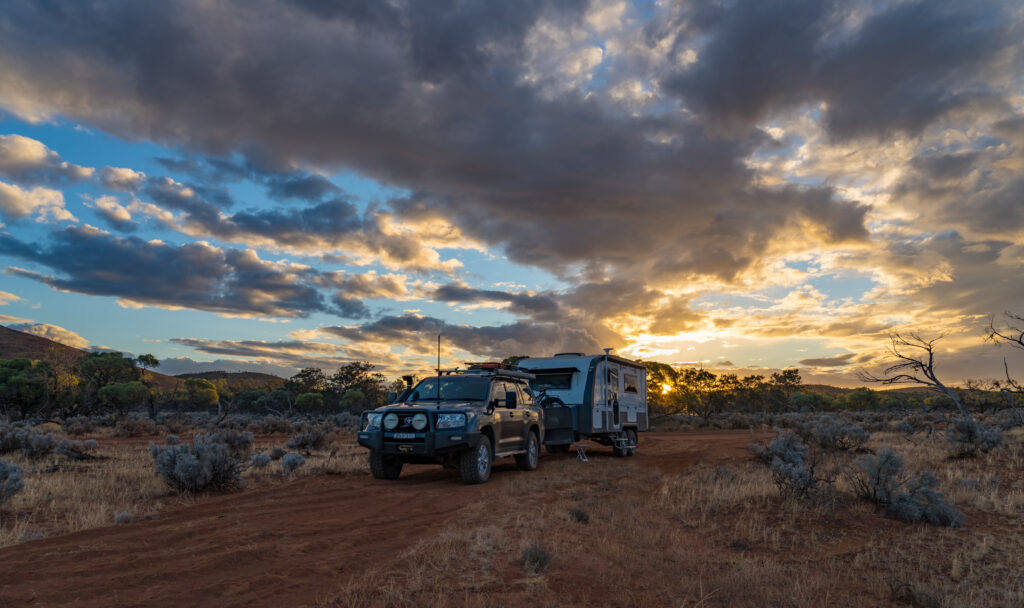
Just when we thought we had seen our fair share of issues this week, the car has developed leaks through the roof. After 12 years of faithful service from our 200 Series Landcruiser, this is really the first issue we’ve had. I managed to persuade a Toyota dealer to have a quick look tomorrow, as it is hopefully just some perished washers around the roof racks, or the internal gutters blocked with all the dust. Let’s see..
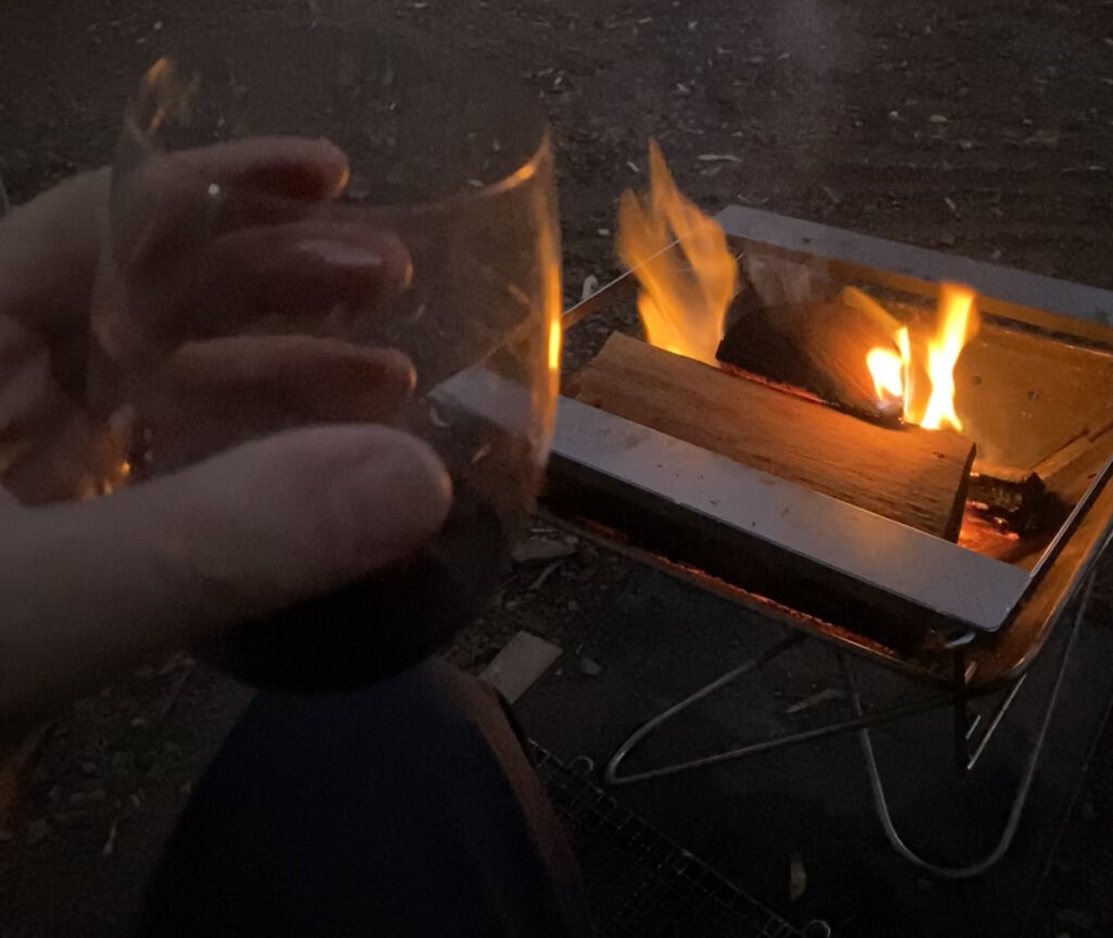
These things are sent to test us. It’s really to be expected that there will be issues to deal with when you’re travelling like this. But against this we put the fact that we had lovely neighbours on our campsite this week. Rarely have we met new people like that on campsites and ended up having drinks together, but these guys were just delightful. If they are reading this then thanks Annie and Wayne for brightening up the week and sharing our life briefly. As I’ve said previously, the downside of this nomadic life is the lack of physical connection into a community. Moments like this help alleviate that, and we’re grateful.