Author: Mrs A
Location: Pildappa Rock & Mt Ive Station, Eyre Peninsula, South Australia
With Venus Bay in the rear view mirror we turned north, heading to the drier interior of the Eyre Peninsula, the South Australian outback. We were aiming for the outskirts of the Gawler Ranges National Park.
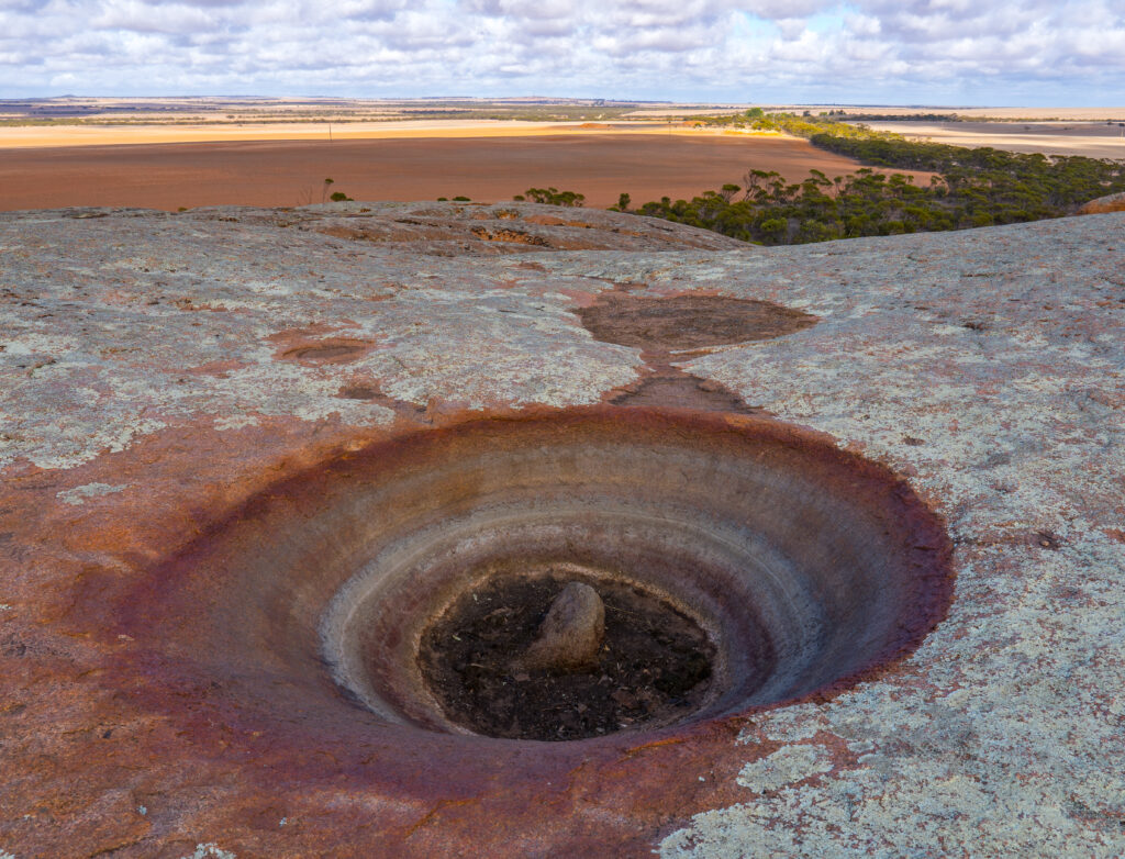
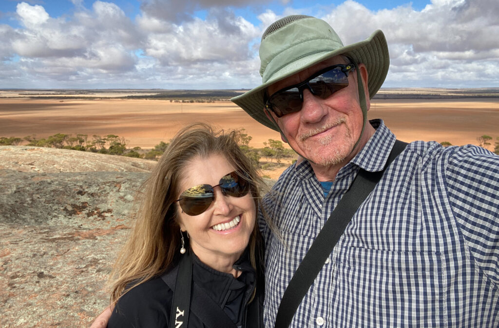
Within an hour we were pulling up at Pildappa Rock just outside Minnipa. Jutting up out of the flat landscape like a miniature Uluru, this pink granite monolith was a central point for the Kukatha Aboriginal communities, who used its surface pools for drinking water. Locals liken this rock to the more famous ‘Wave Rock’ in Western Australia, said to look like breaking surf in its erosion.
Geologists have found that this rock was originally formed about 7km below the earth’s surface (1500 million years ago!). The surrounding soil has weathered much faster than the rock, hence it now towers over the surrounding area. It is estimated it erodes about 50cm every million years.
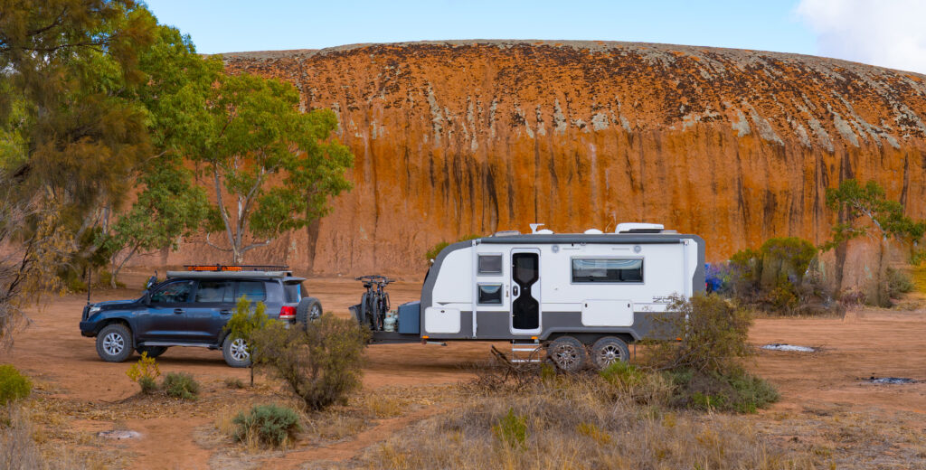
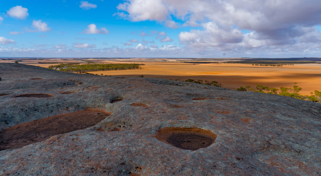
On our visit, all the pools were dry, the lack of rainfall evident in the dusty surround, our climb up revealing stunning views of the landscape around us.
The First People traditional owners, the Kukatha community, cared for and tended to these lands, and we thank and acknowledge this. Being the only source of surface water for some distance, the people protected this rock and recognised it as a special and sacred place. When European settlers first arrived in the area seeking water, the Aboriginal community introduced them to this rock and shared their precious water, only to have it then taken over by the new settlers who built dams and drains to secure the water for themselves, restricting their access. Yes, yet another sad story of cruelty and selfishness from our ancestors.
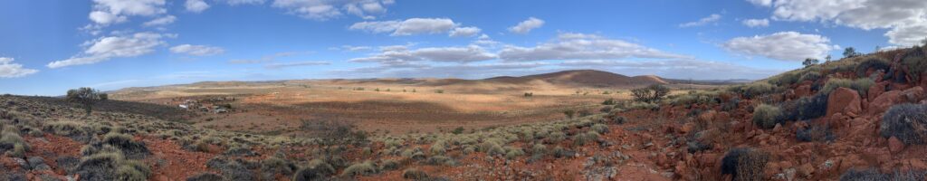
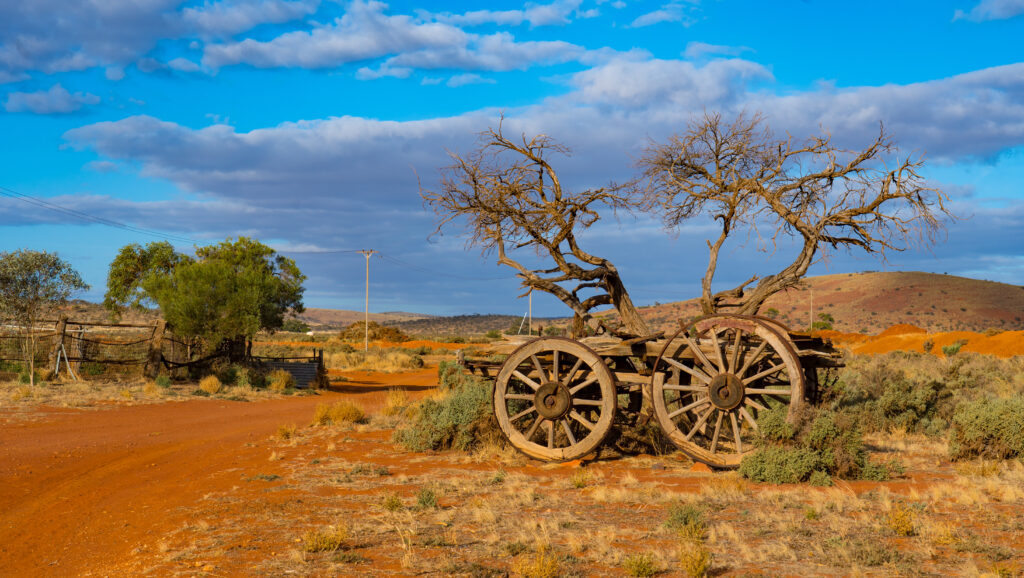
Today much of the surrounding land is used for growing wheat, being autumn all harvested now. It is hard to imagine how anything grows in these dry, dusty conditions, Willie willies (mini dust tornadoes) are frequently seen racing across the huge fields, spinning up what is left of the topsoil.
We continued our journey, next stopping for lunch at a nearby camping area by some more sculpture-like granite rocks at Wattle Grove.
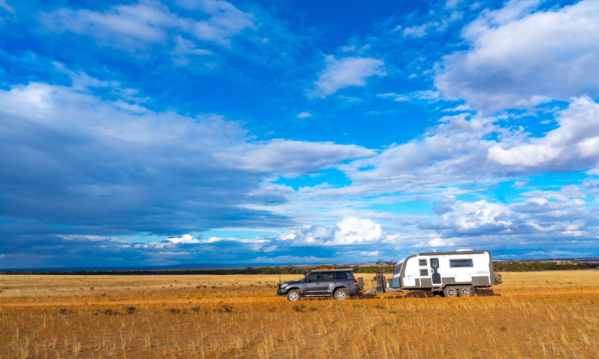
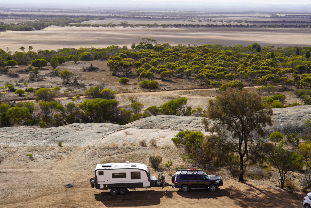
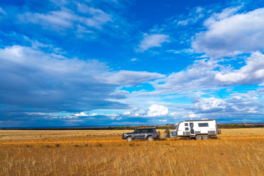
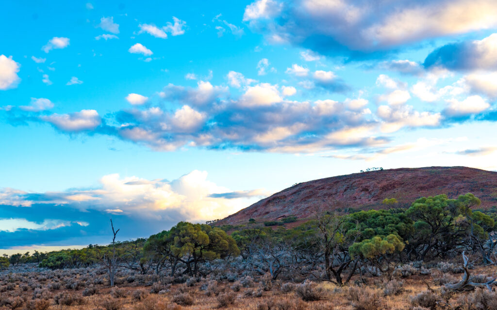
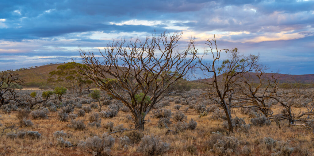
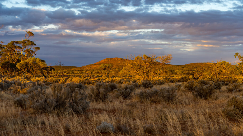
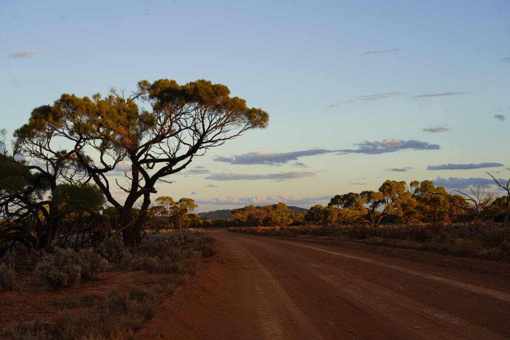
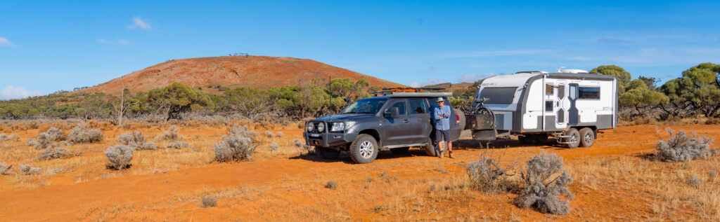
Once we left here, we joined a long red sand and gravel road heading further north towards a remote sheep station, Mount Ive. We let the tyres down a little to smooth out the corrugations and enjoyed the journey. The scenery was magical. The sun was just starting to dip in the sky and in doing so lit up millions of raindrops hanging in the trees, spinifex, blue bush and saltbush either side of the road. It was quite surreal, following a red-sand road surrounded by sparkling diamonds.
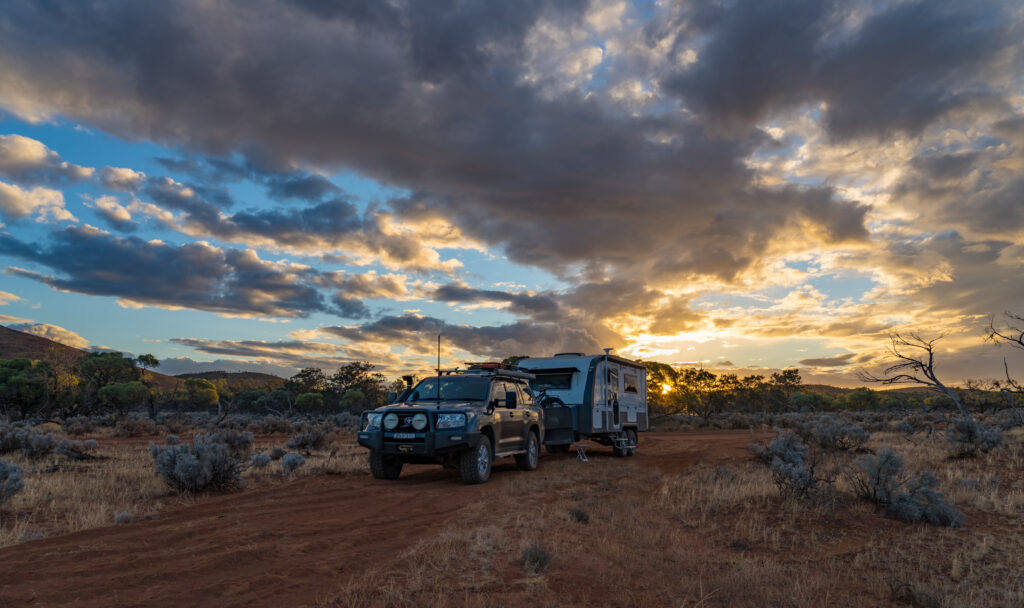
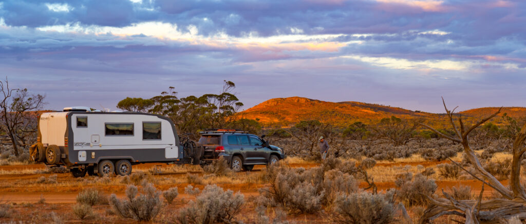
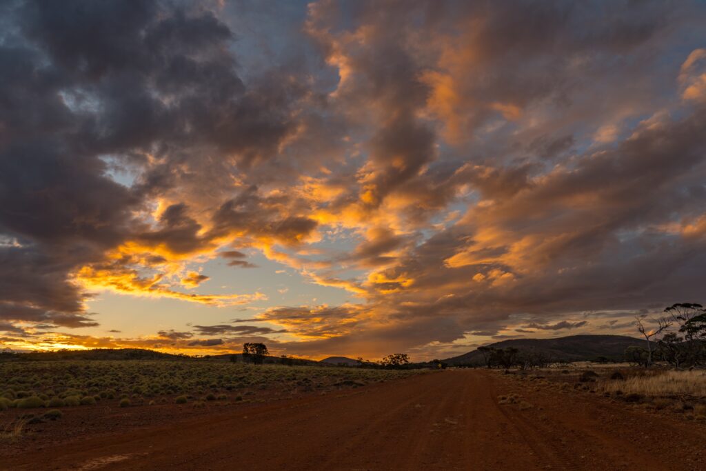
With the sun starting to set we decided to find ourselves a wild-camp just off the road for the night rather than press on.
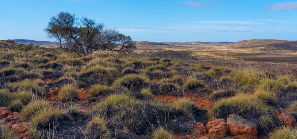
A space for the night secured, we had an explore, bewitched by the beautiful sunset and incredible light cast on the red hills and scenery around us.
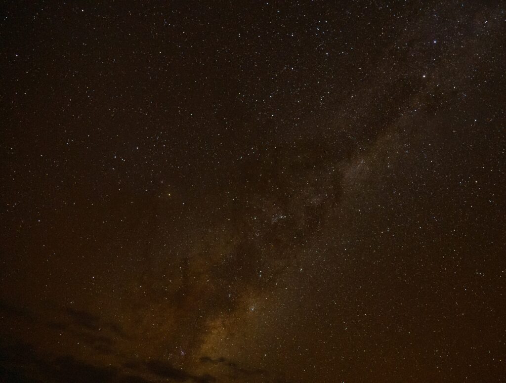
It was a beautifully dark night, a good opportunity to have a practice at some night photography. This shot of the Milky Way was my best first attempt.
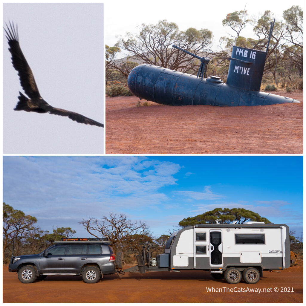
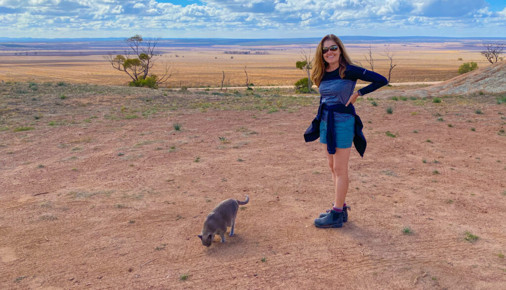
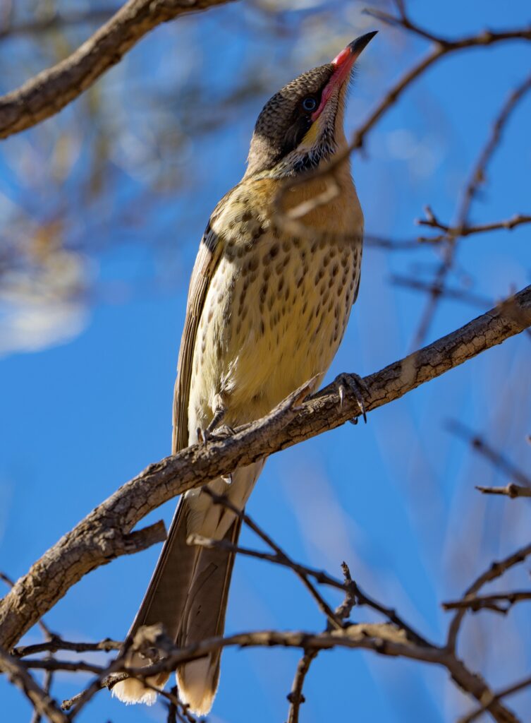
The following morning we had a walk around, in awe of the silence. You could hear your ears ringing and the cogs in your brain whirring! Every sound seemed incredibly loud. The flocks of birds seemed to think so too, most too nervous to hang around for a photo or even to be identified through binoculars. They clearly are not used to humans out here.
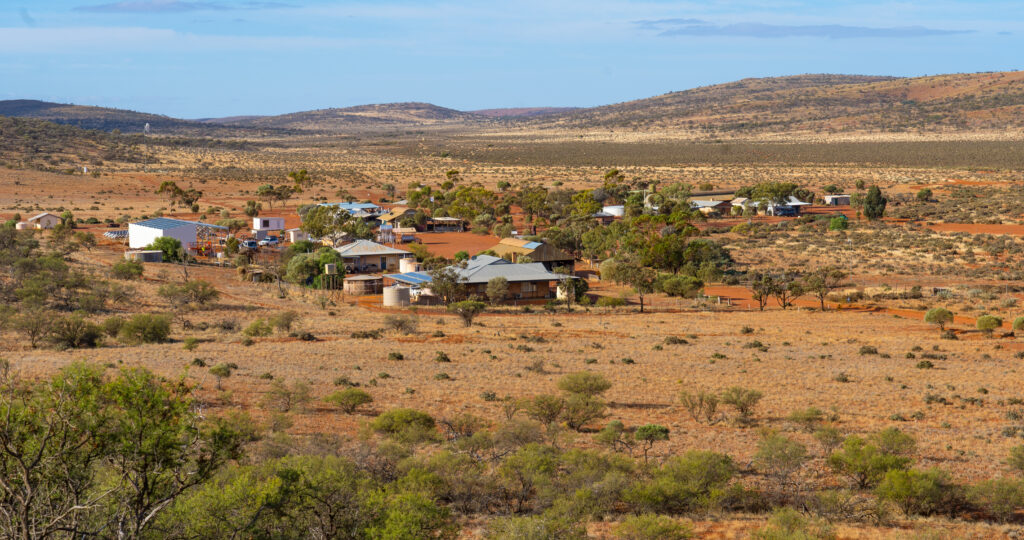
We drove the final 45 minutes to Mt Ive Station, arriving mid morning and set up on the dusty dry paddock they had assigned to campers. It was a bit disappointing really. After some of the wonderful station stays in Western Australia (especially Hambleton and Woolleen) it felt like there had been no effort made here. We had so many questions for the owners, but they were not present and the managers were fellow travellers and only had been working there for a couple of days.
Visitors are attracted to the area because of its proximity to Lake Gairdner National Park. We paid for a mud map of a track and a key to a locked gate giving us access to the lake. Lake Gairdner is a huge salt lake, famous for land speed record attempts during Speed Week each March.
After setting up camp we took a drive out to the lake. No driving is allowed on the lake outside of the allocated event.
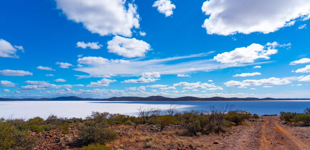
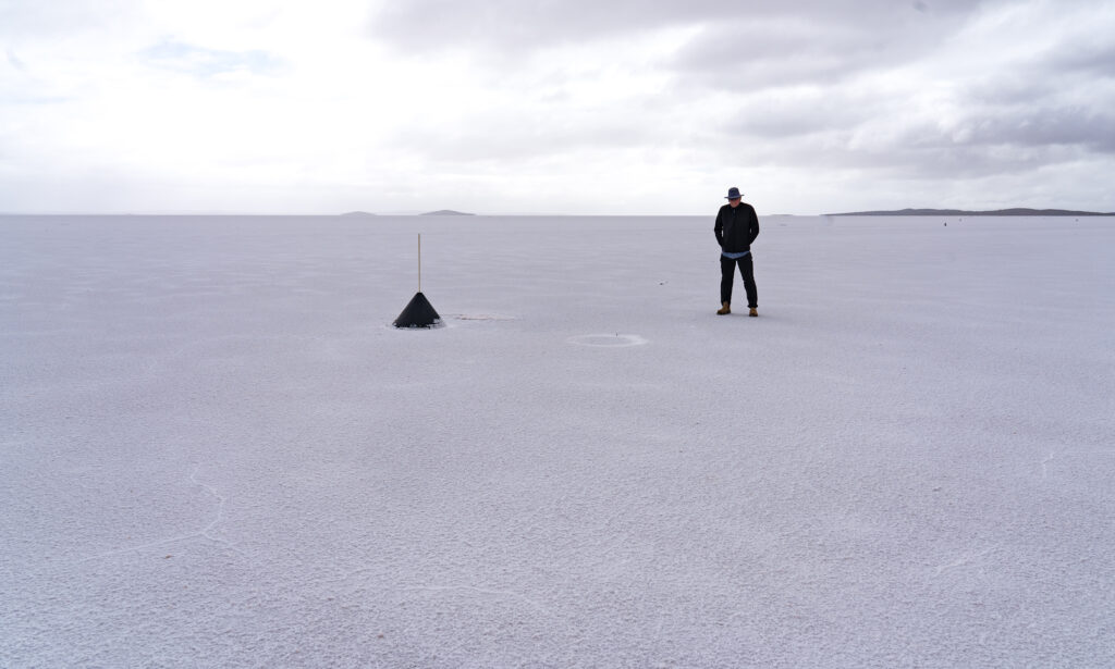
The lake is considered to be the third biggest salt lake in Australia. It is 160 kilometres long, and 48 km across, so the area we visited was all but a tiny corner.
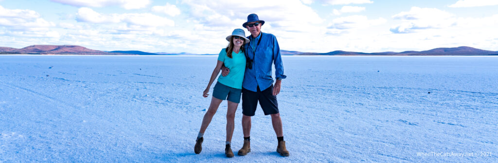
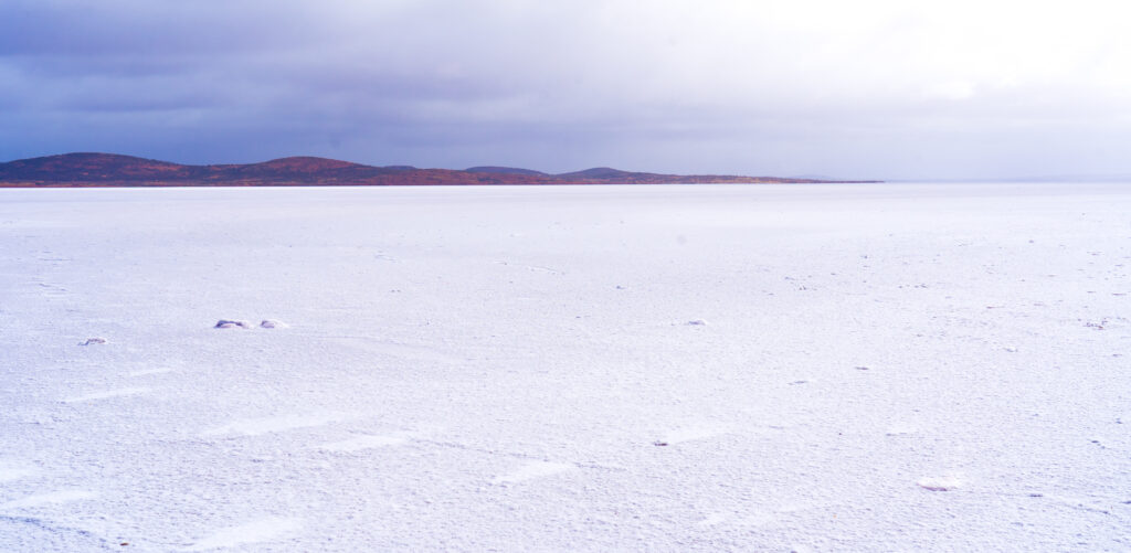
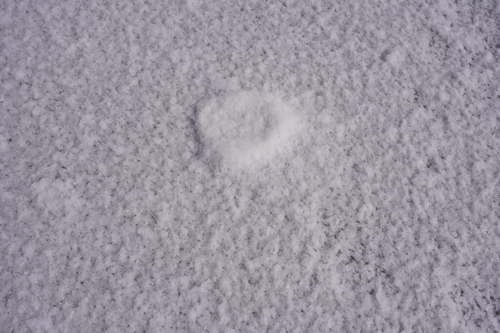
Stepping onto the lake it is hard to convince your brain it is not snow. It crunches like snow, but is not at all slippery, with little give when you step on it. In some places this salt is more than a metre deep.
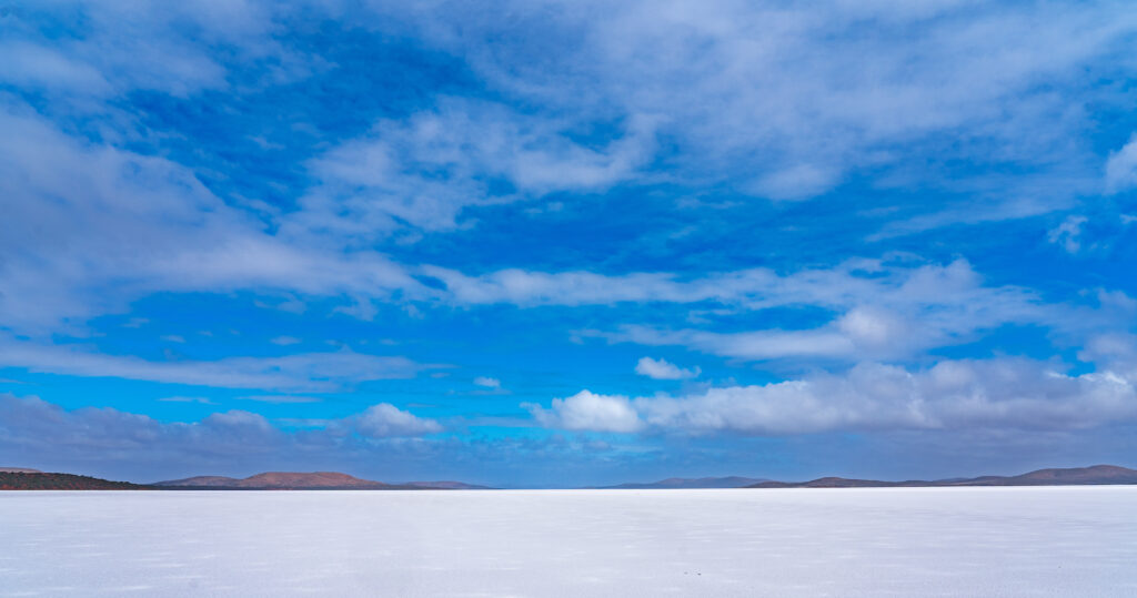
We enjoyed our experience so much we went back the following day – the grey skies changing the whole scene, and being wrapped up in our winter gear it felt even more like a snowfield.
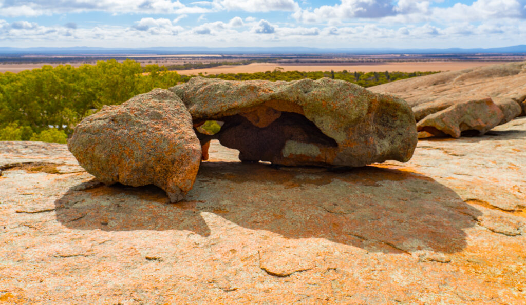
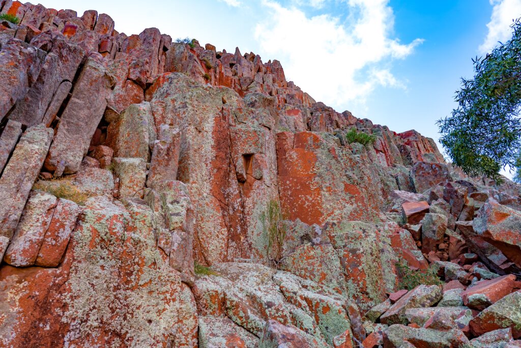
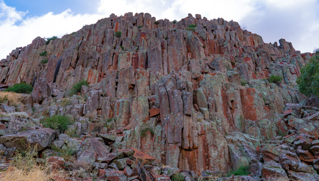
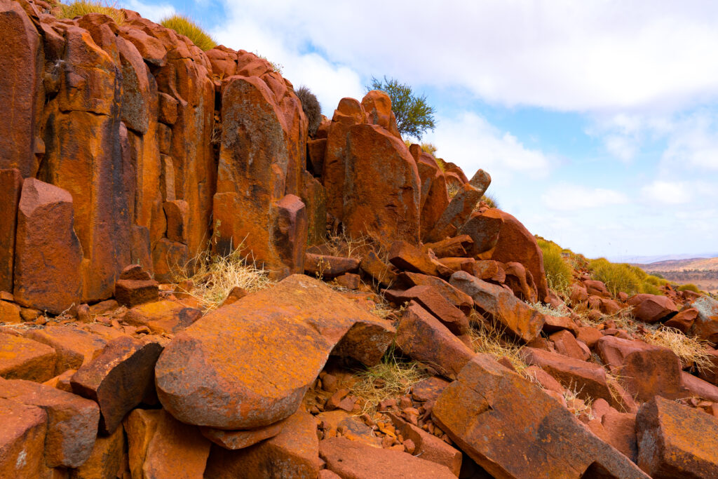
The Mt Ive Station property also has a volcanic geological area known as the Organ Pipes. We hiked up a dry creek to explore.
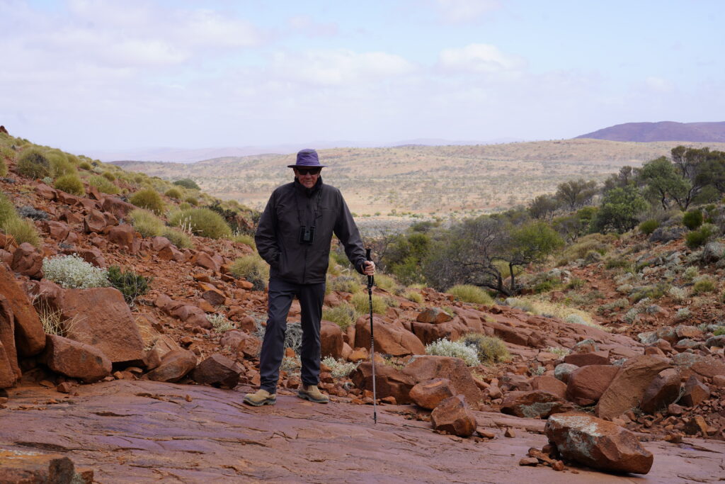
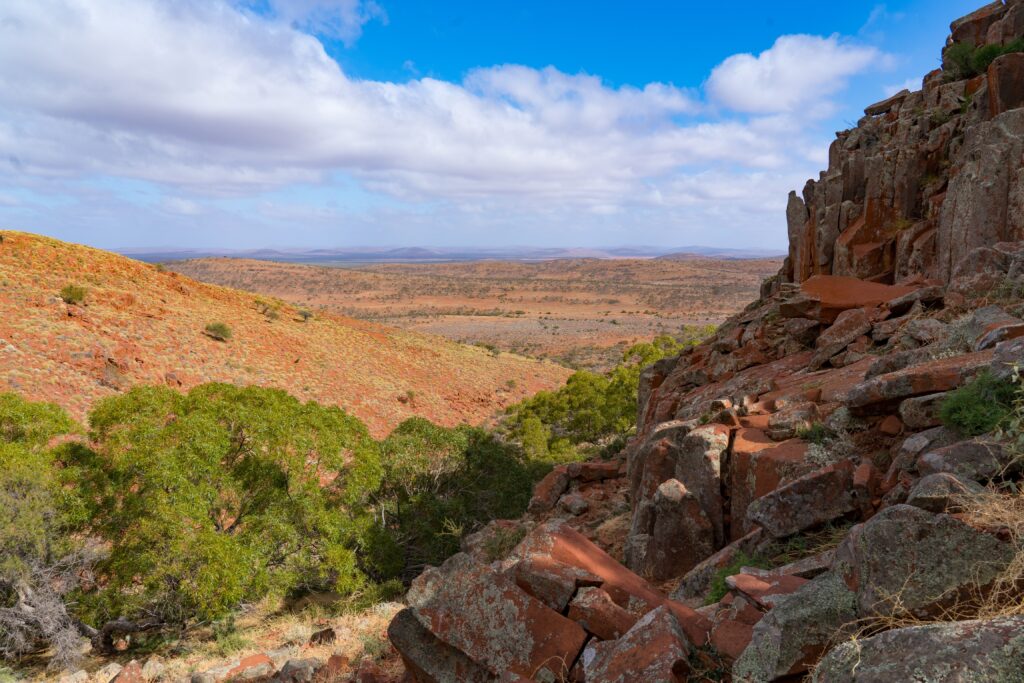
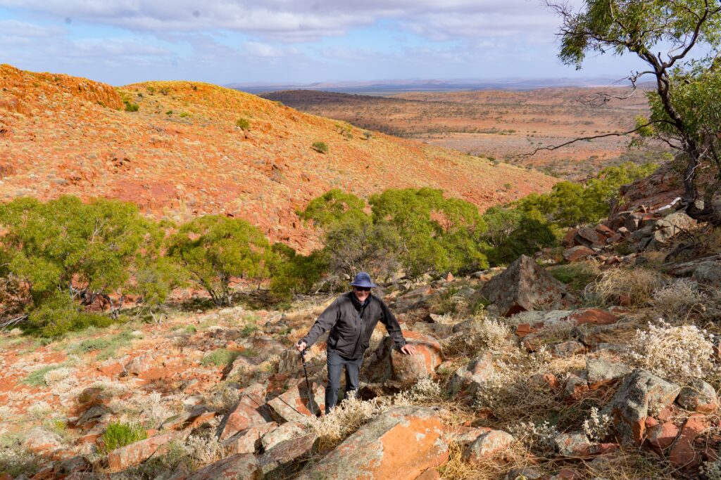
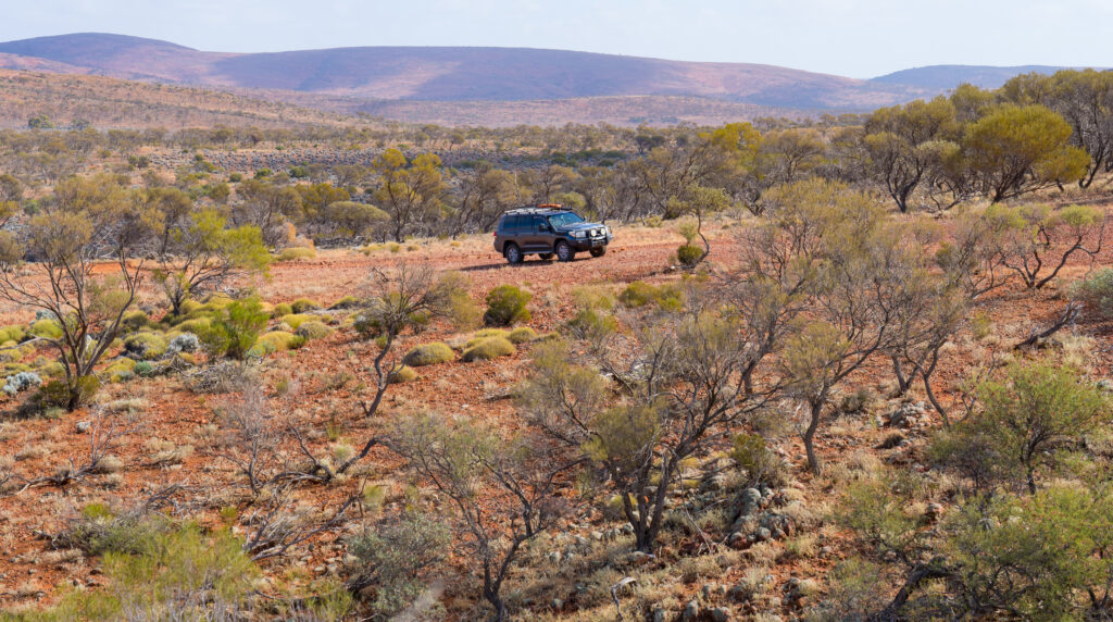
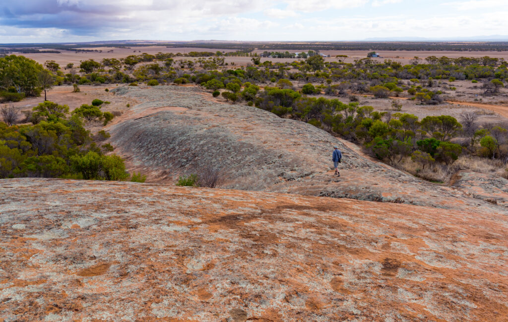
The station is mostly set up to encourage four wheel driving, with visitors given the option to buy another mud map with further routes to explore. Rather than spend more time in the car, we decided to try some more walking, picking our way up through the rock and prickly spinifex plants to the top of one of the hills surrounding the property.
We had a good couple of nights here, but especially enjoyed our time wild-camping. We hope to do more of that in the coming months. For now, however, we had to head back to the coast and Whyalla – I had a plane to catch…