Author: Mr A
Location: From Kings Canyon Resort to Redbank Gorge, West MacDonnell Ranges
Friday: We topped up with diesel just before leaving Kings Canyon Resort and I asked about the road conditions round the Menindee loop road to the West MacDonnell ranges. having had no internet for several days means we were reliant on a 10 year old copy of Lonely Planet…not so good. The young lady behind the counter said “I think its pretty bad, there’s lots of corru…corrug….what’s the word?” I filled in the word that she was struggling to remember…corrugations. She did though brightly volunteer we would need to purchase a pass to travel through the Aboriginal land the road goes through.
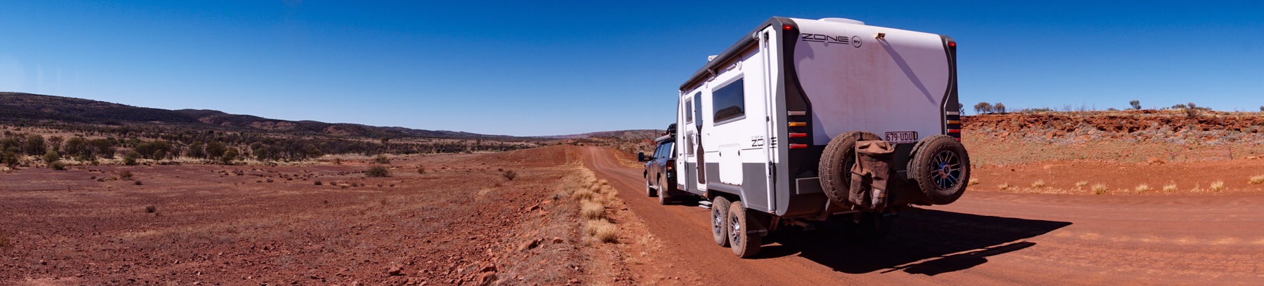
Not really knowing what to expect we set off, after a few kilometres of tarmac the road degenerated into a very bumpy track. Corrugated it certainly was. We let the tyre pressures down and I rechecked the suspension settings again. We set off and bounced our way along for several hours, only seeing a few other cars, one trailer being towed and no caravans.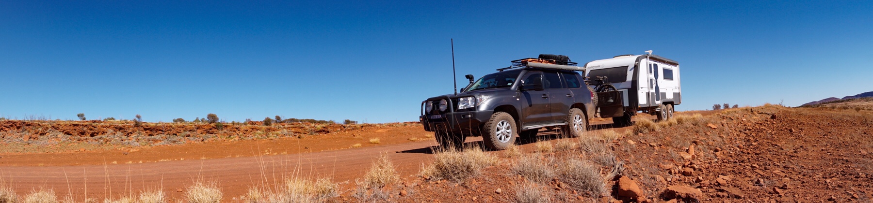
 By mid morning Google was estimating we were still over 2 hrs from our planned lunch stop, and then…a miracle. We come round a bend to see two graders ponderously chugging up the road towards us, leaving in their wake a lovely smooth surface!
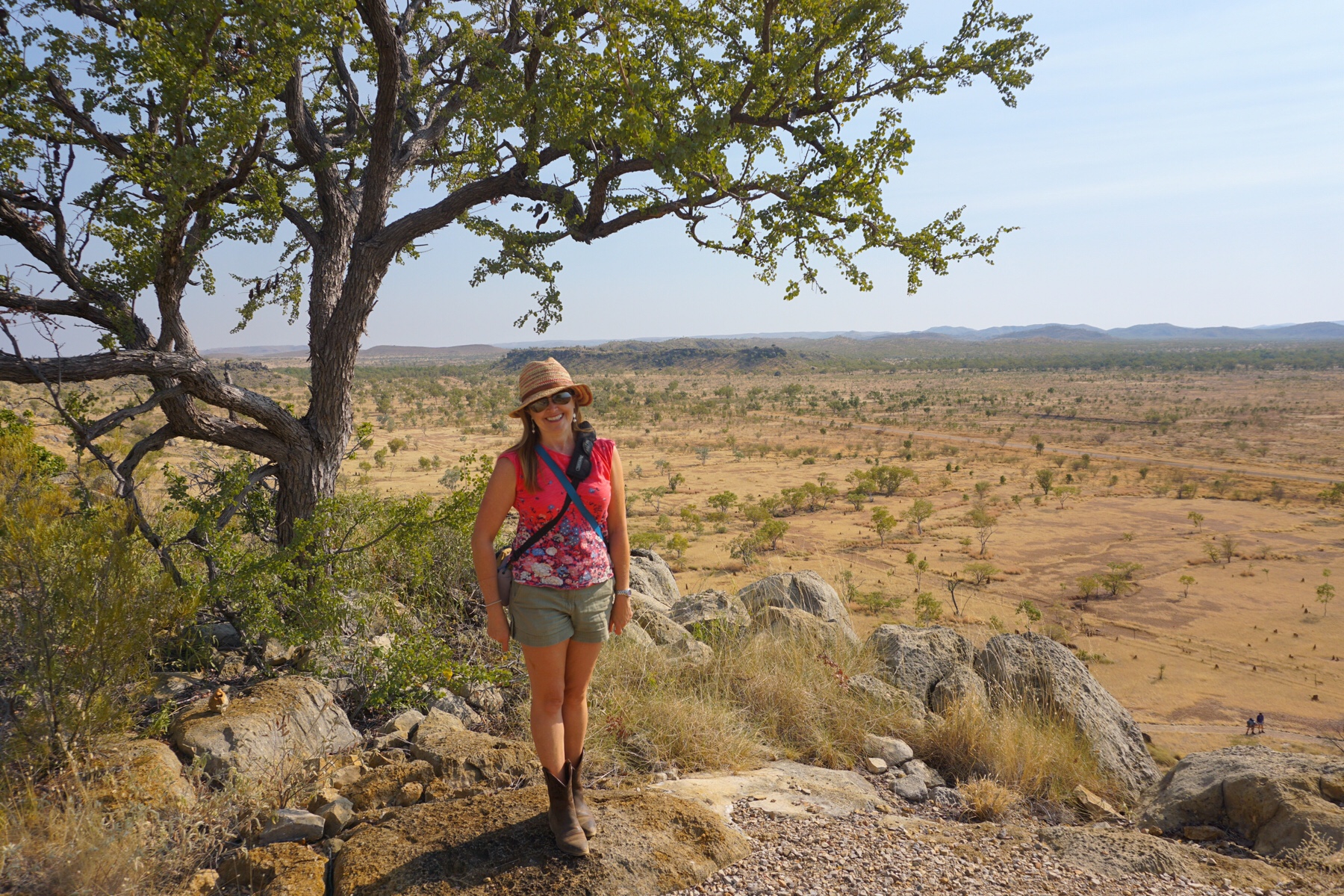
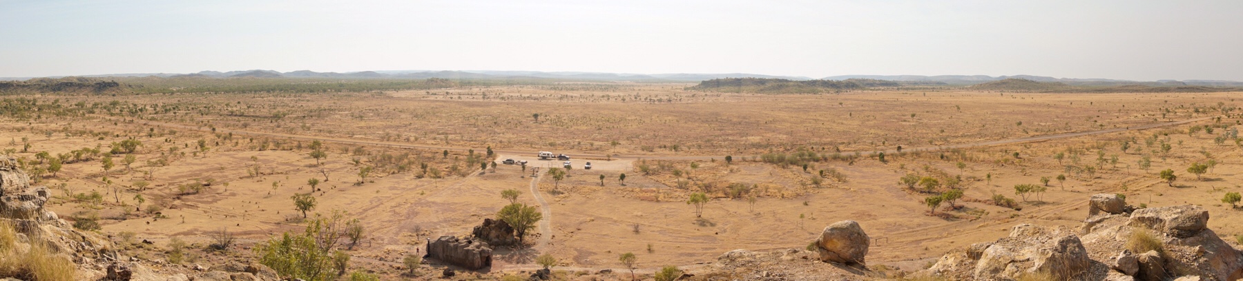
We waved our thanks to the drivers and “sped” off, the odd patch of sand still making the driving “interesting”. We were soon at our lunch destination, a fabulous lookout over an ancient comet crater.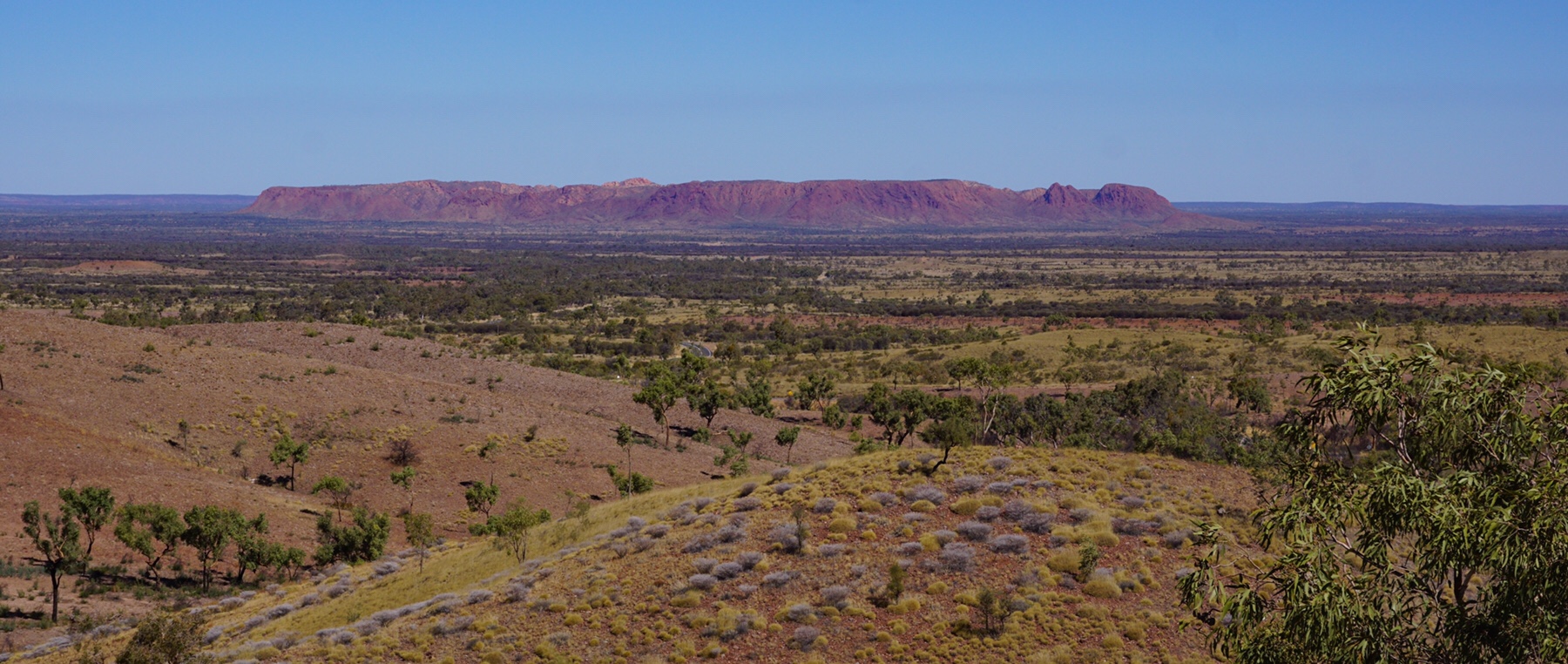 You wouldn’t have wanted to be around 400 million years ago when this bad baby hit earth. It was one of those views that we love in outback Australia – no sign of humans on the landscape for 360 degrees.
Back on tarmac now we made our destination for the night, Redbank Gorge, in time for a late afternoon walk.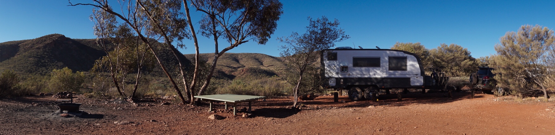
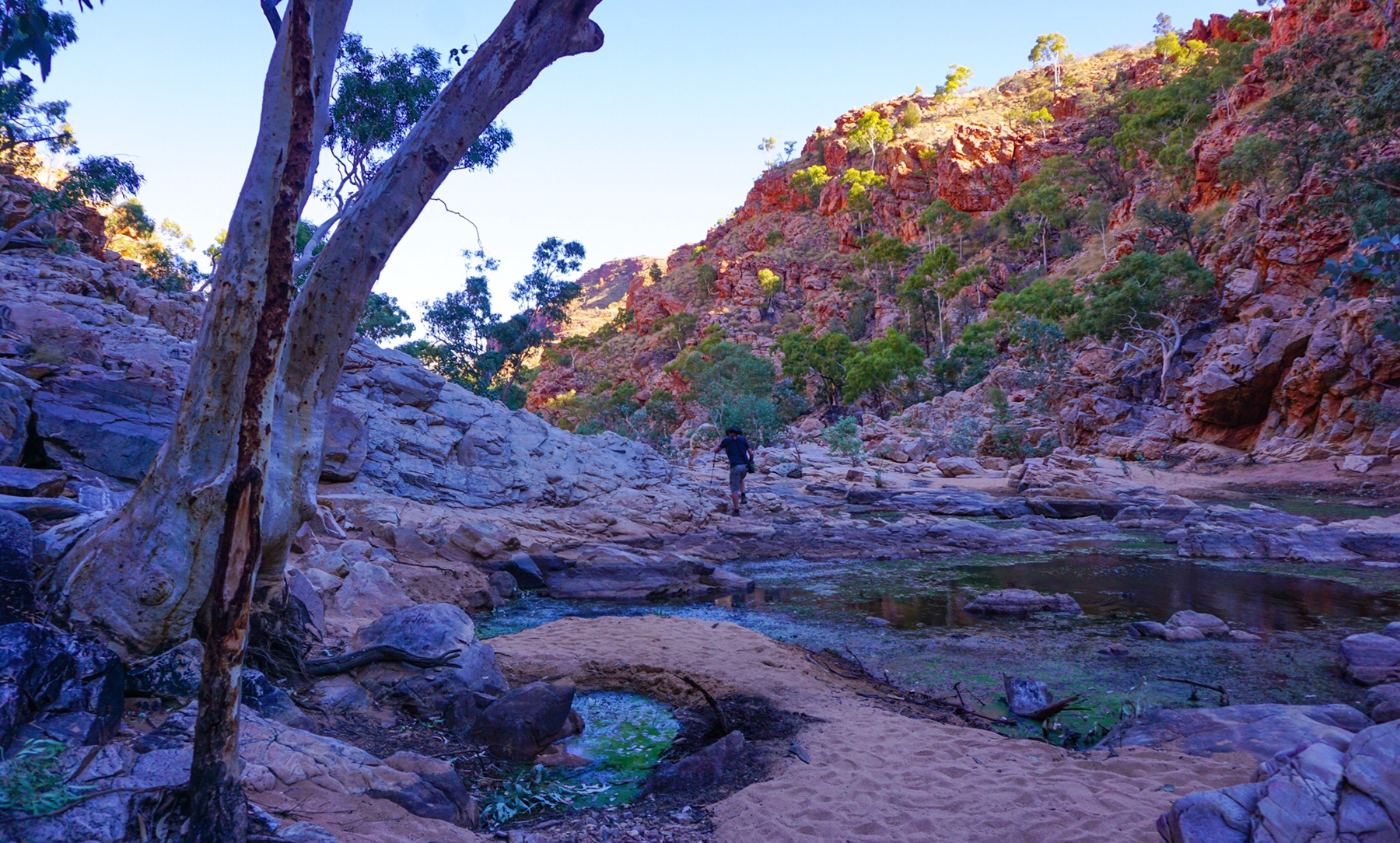
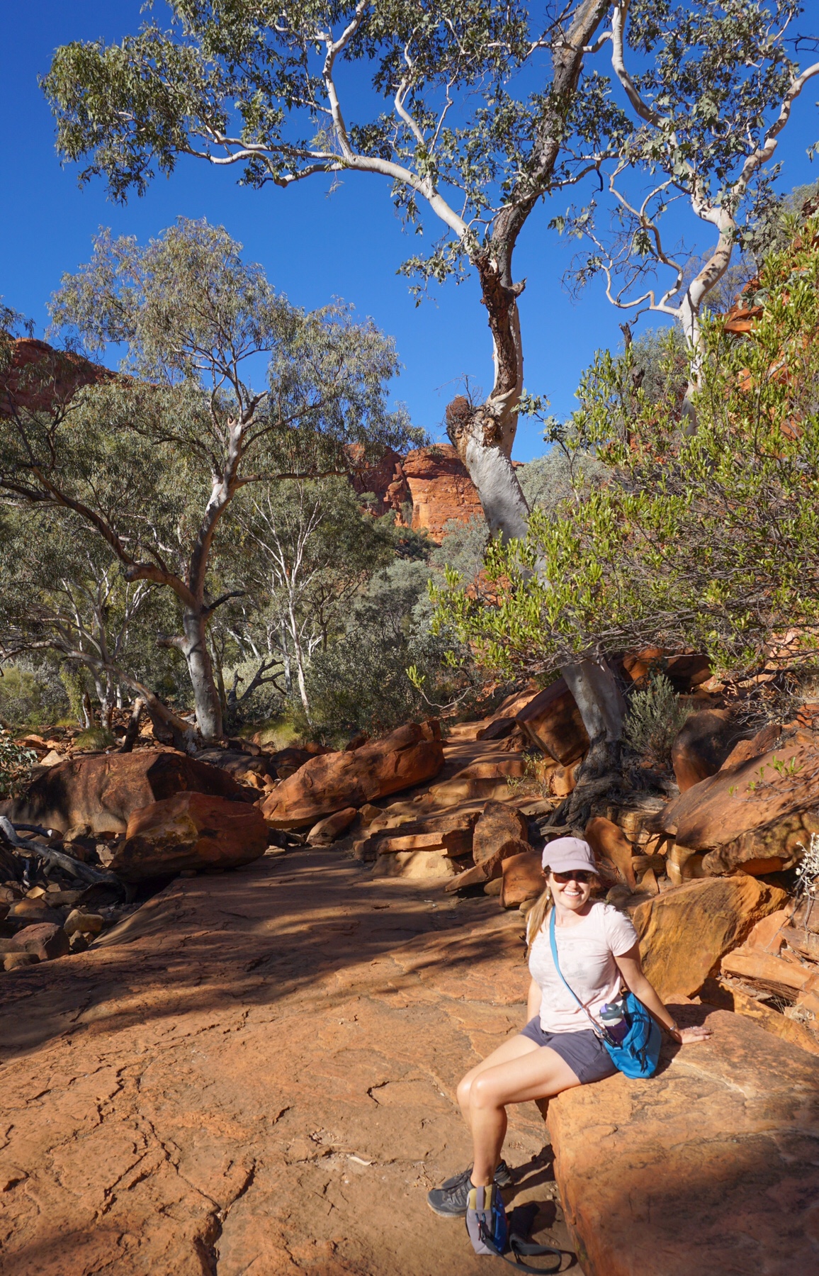
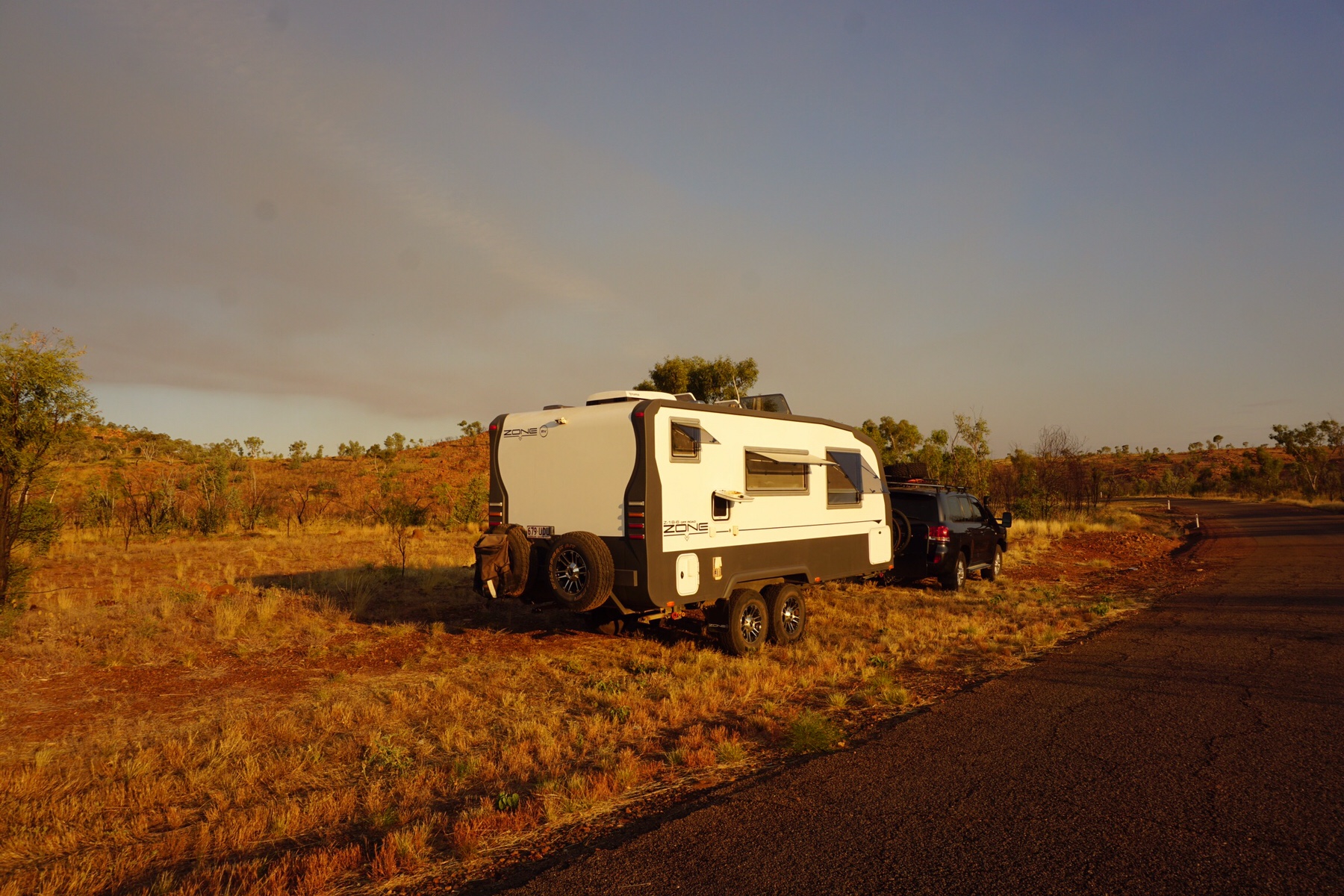
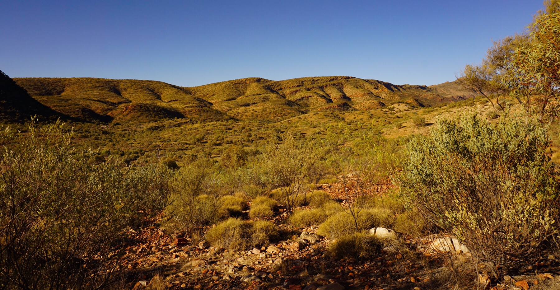 The Gorge is one of several in the West MacDonnell ranges, which spectacularly rise up out of the desert plain and stretch several hundred kilometres. We rocked up at was to be one of our prettiest campsites on this section of the trip, with views down into the gorge. We quickly unhitched and drove down the steep access road, parked up and hit the short trail into the gorge proper.
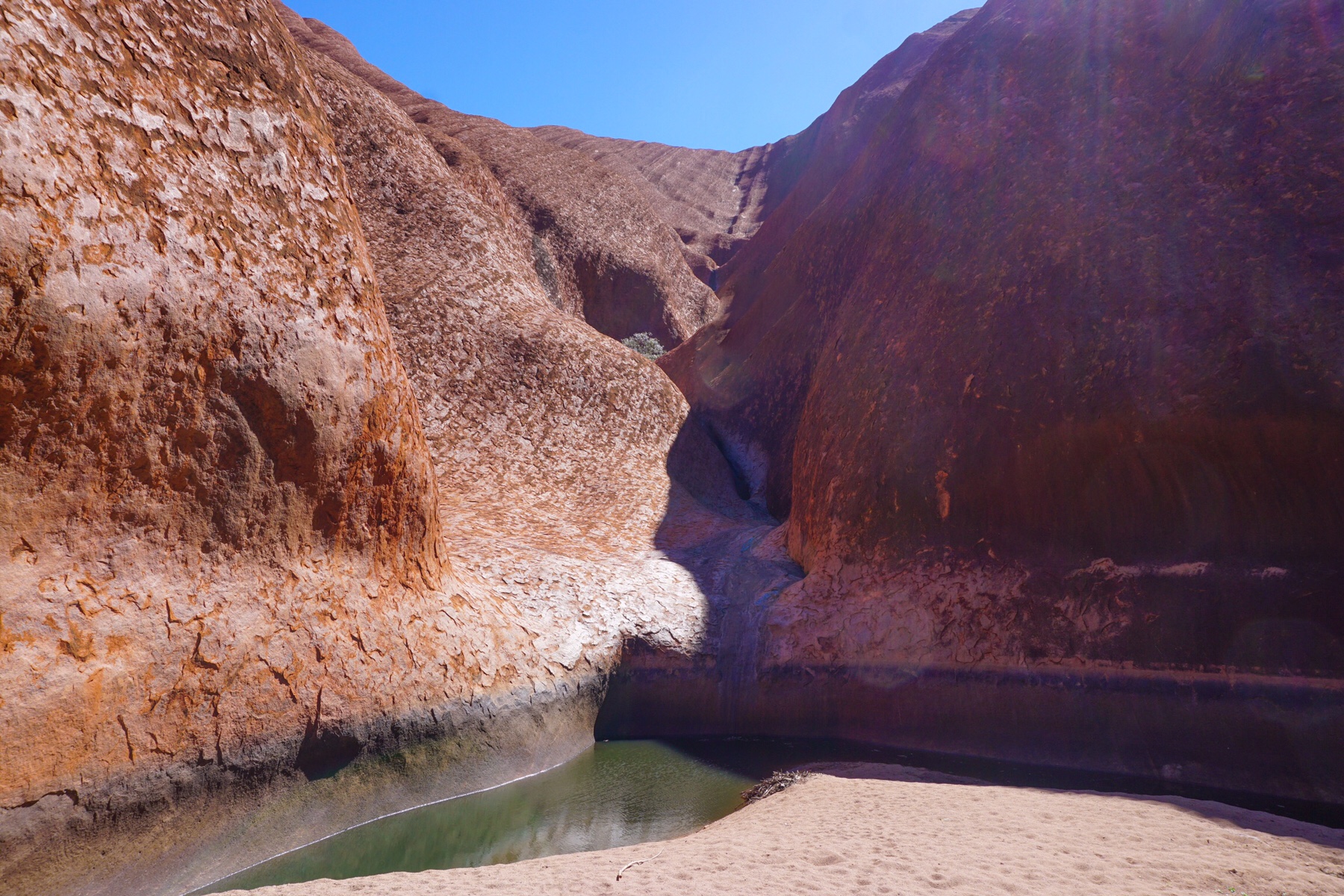
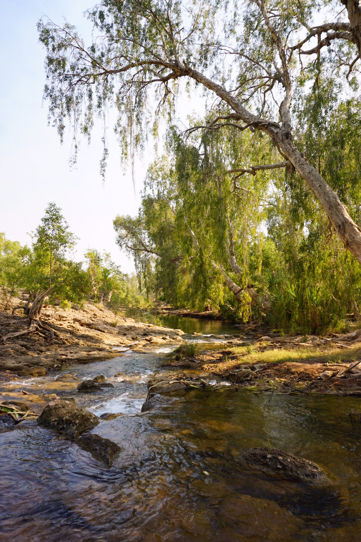
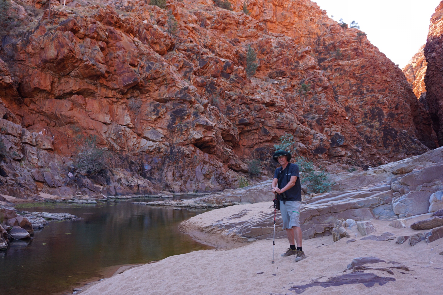 After a bit of rock scrambling we arrived at this little oasis, a pool of water in sharp contrast to the surrounding dry arid land. We spent a happy hour there watching the sun set fire to the walls of the gorge, then retraced our steps.
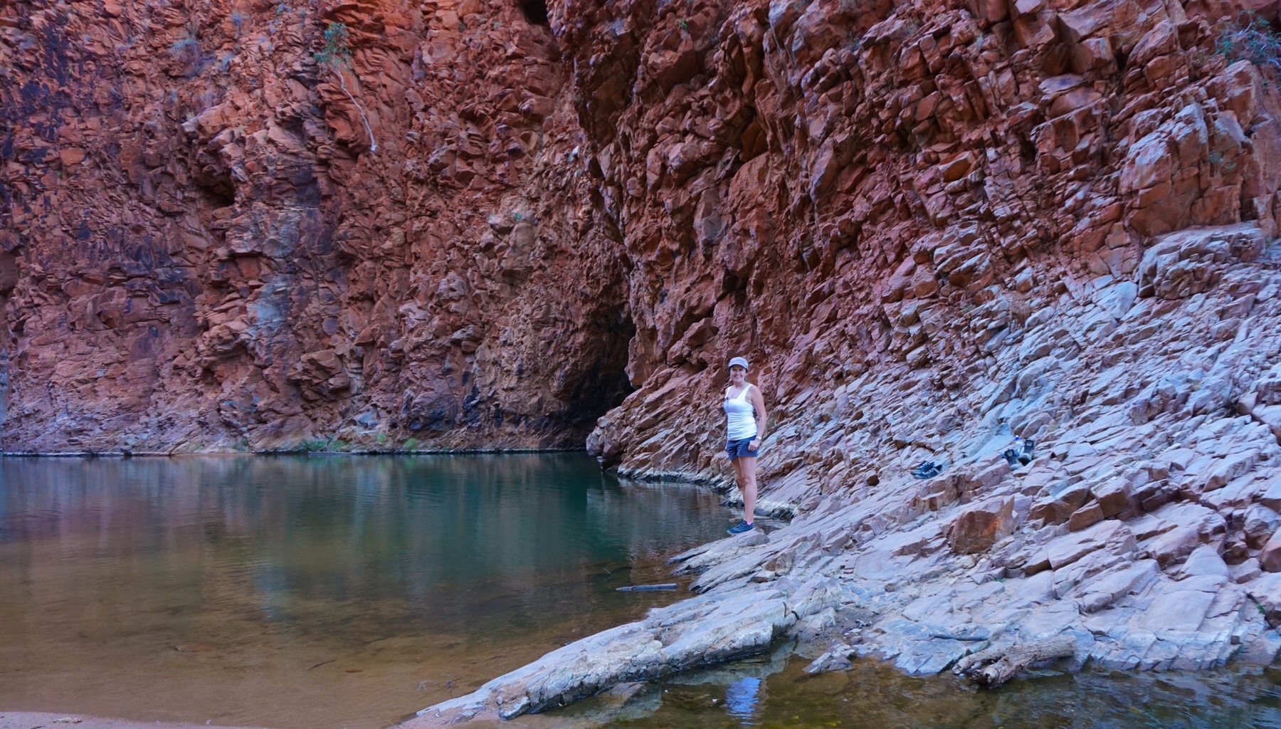
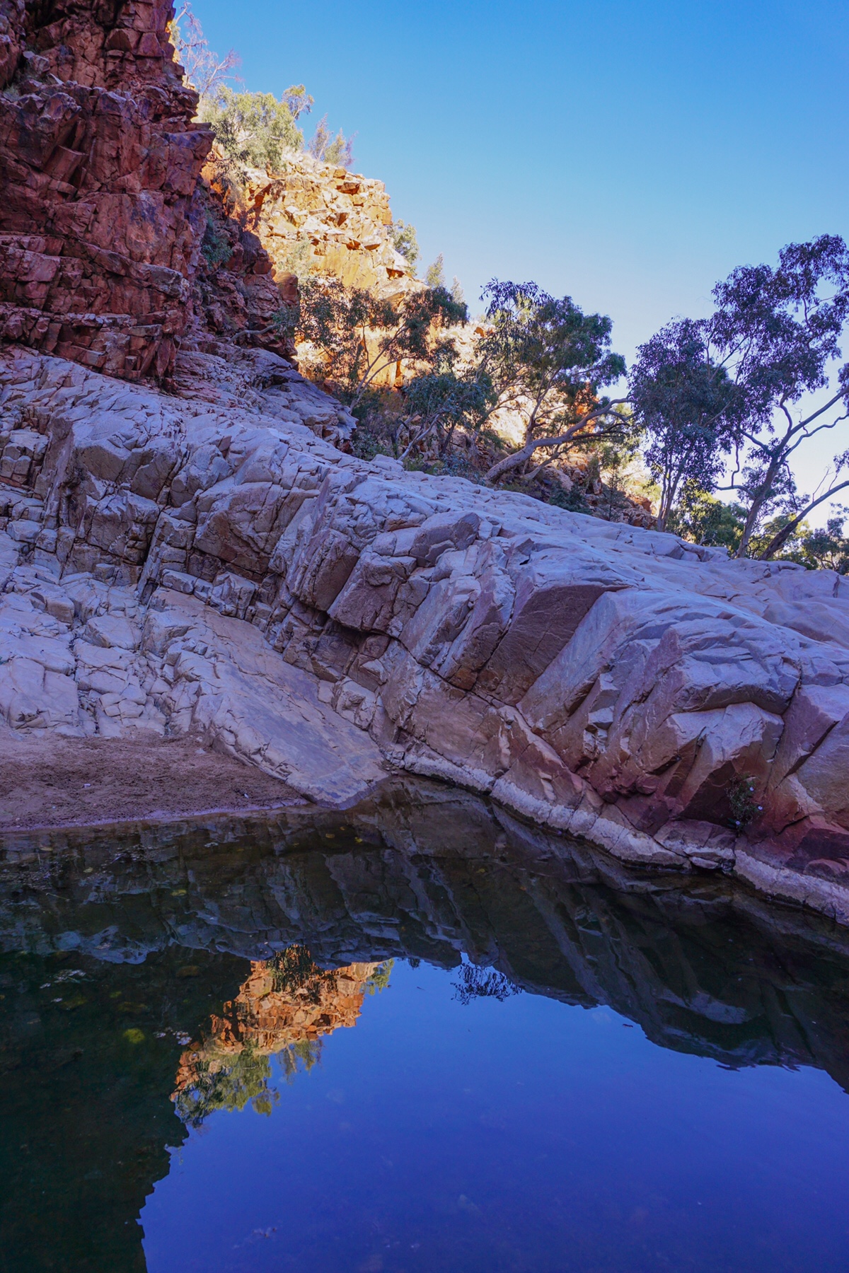 This was a view that demanded a decent glass of red, and we counted our blessings once again to be in the position to watch the sun go down on such a stunning outback vista.
I wandered off to talk to our fellow campers and see if anyone had recently travelled the route we planned to take back to the east coast called the Plenty Highway. I got lucky, a couple had just come over on it last week, and had taken four days on what they described as “badly corrugated” track, espcially on the NT side of the border. Ah well, at least we know what we’re up for, as it is often hard to get a factual assessment. So many off-roaders like to puff out their chest and say “Its not bad mate”. This could mean anything from, ‘it is in fact pretty good (unlikely)’ to ‘it’s practically undriveable’.
You have got to admire the Australian way of minimising problems, the “She’ll be ‘right mate” philosophy, but when you are trying to get factual information to plan driving times it’s not helpful. This couple were very good, and detailed the type of road surface to expect on the different sections of the 650km of dirt we are to tackle in a couple of days time.
Mrs A and I then sat down with WikiCamps and made a few adjustments to our schedule!
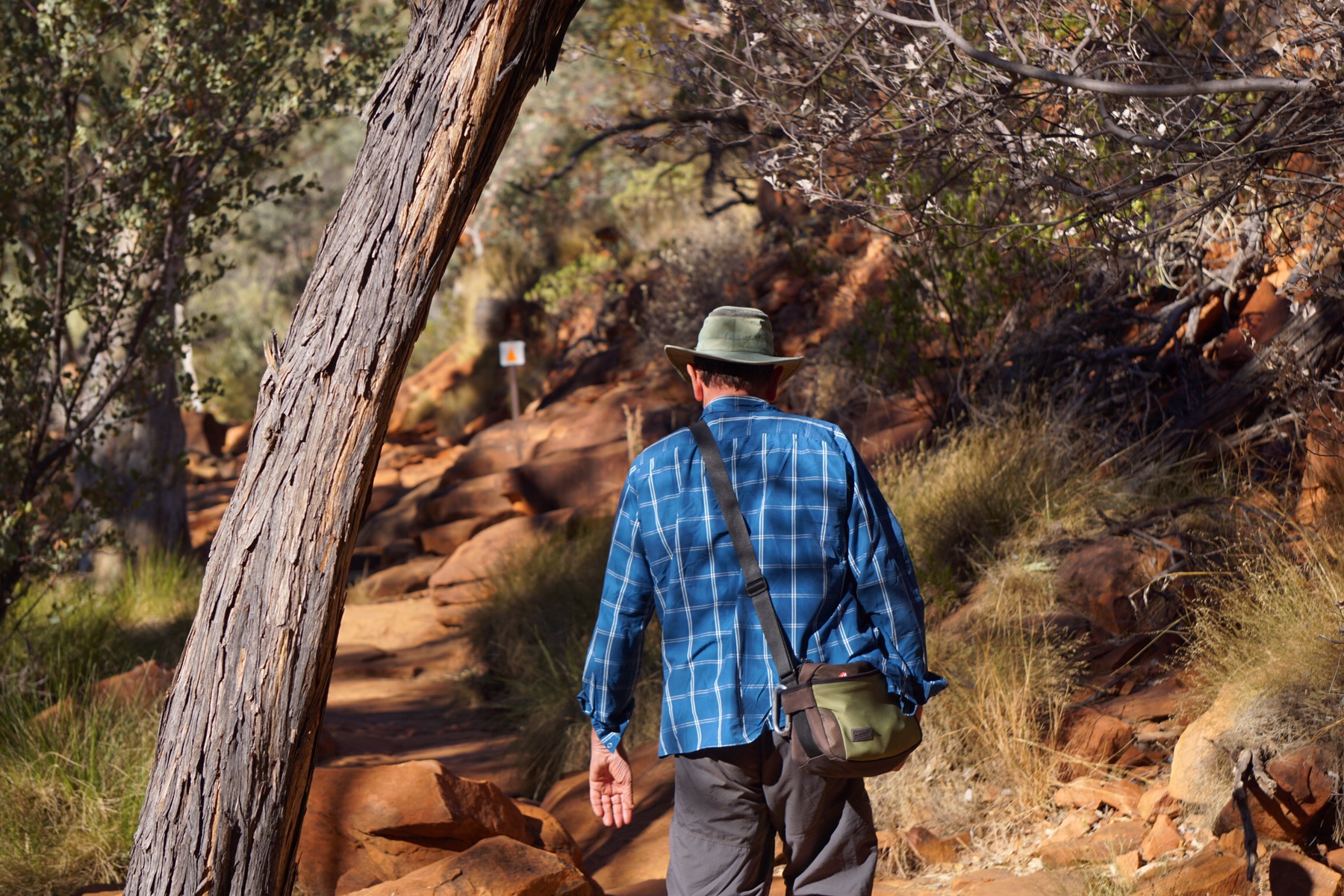
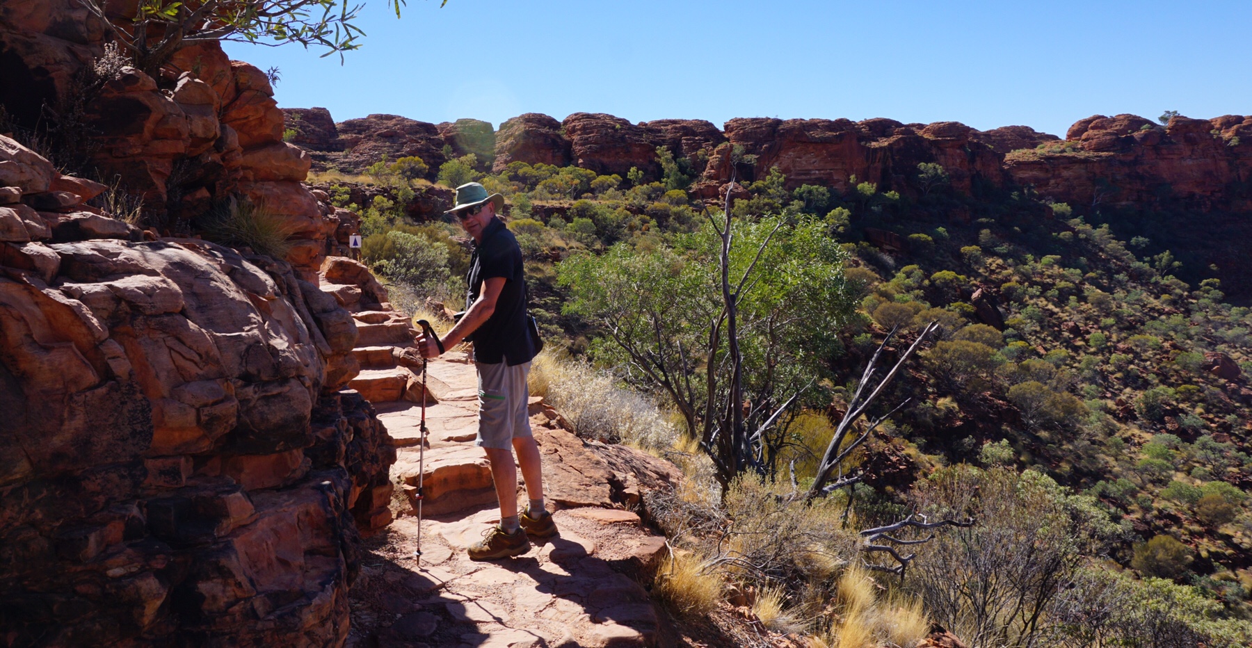
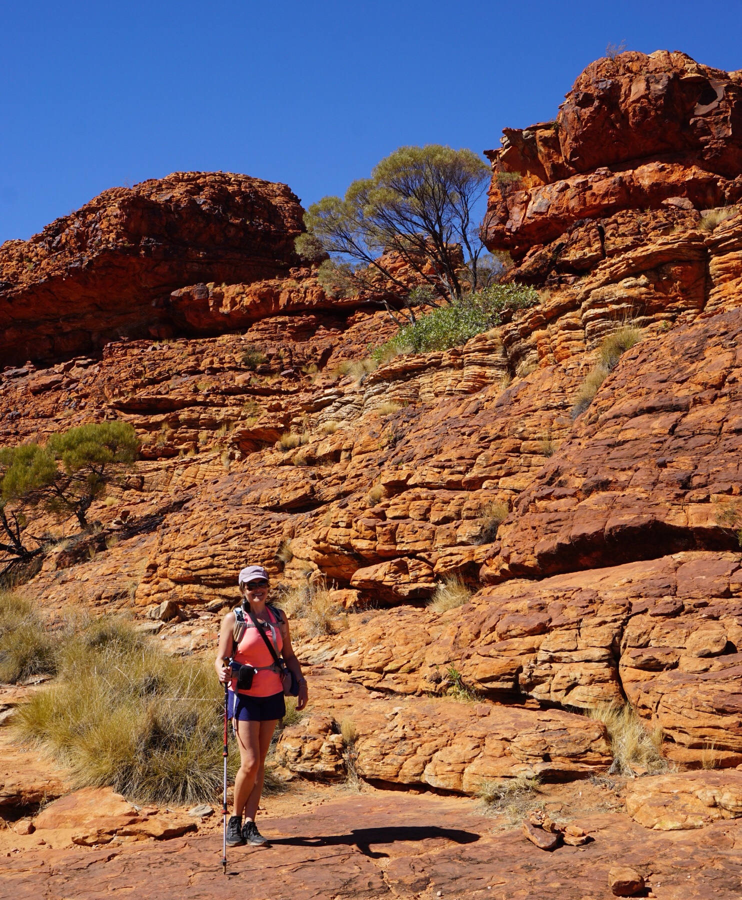
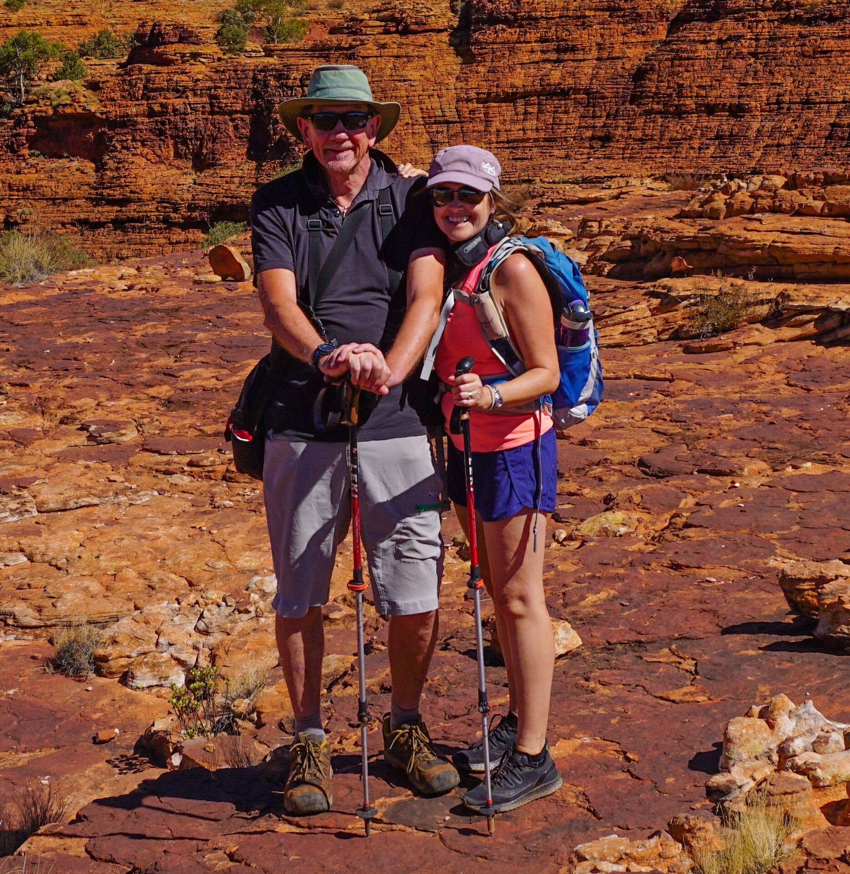
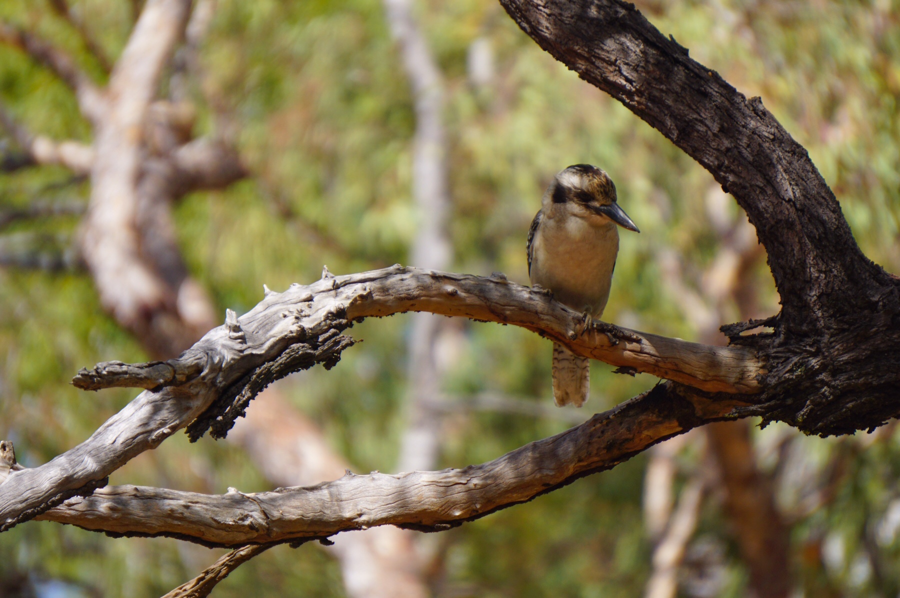
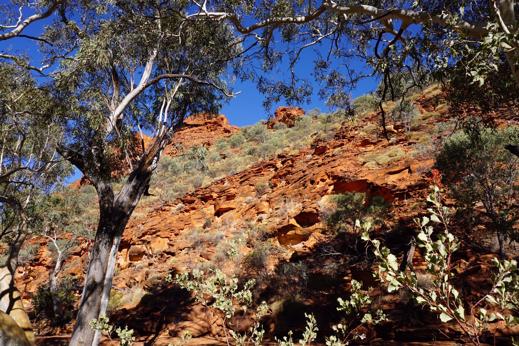 We opted for a short and peaceful walk along the dry King’s Creek, an informative track with several birds accompanying us, particularly this ever-so-cute Dusky Grasswren a perky little desert dweller that didn’t seem to mind hopping around the rocks near us.
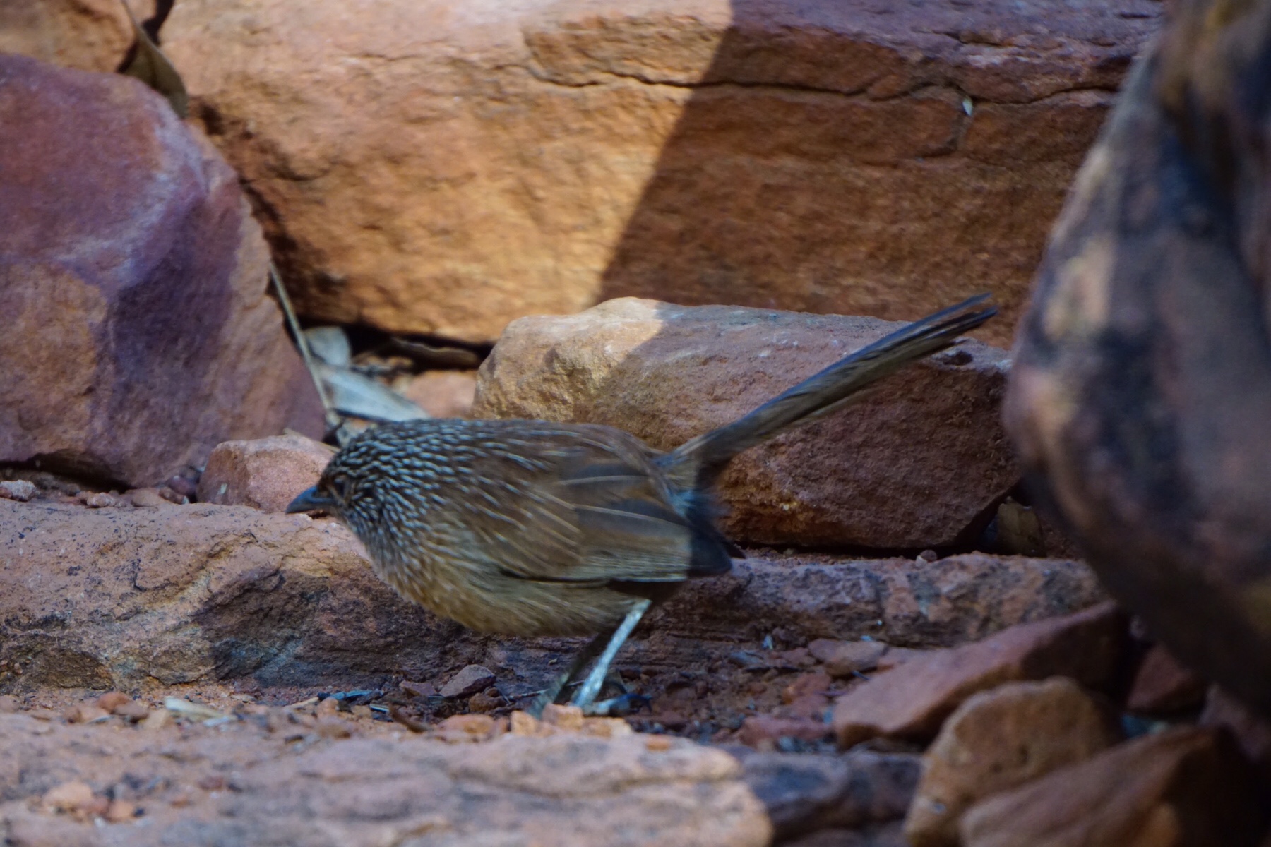 The national park is home to more than 600 species of plant, 10% of which are extremely rare and date back to the dinosaurs. This area has the highest diversity of fauna in any of Australia’s arid zones.
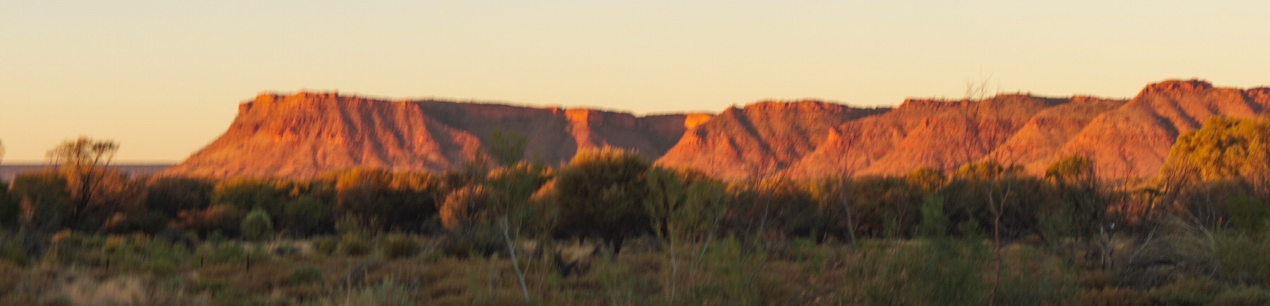 The resort has a pub and restaurant so we decided to give it a try for dinner. Unlike so many places we have come across on this trip, this actually had a decent choice of beverages – including Fat Yak and our local Manly, Sydney tipple, Four Pines beer.
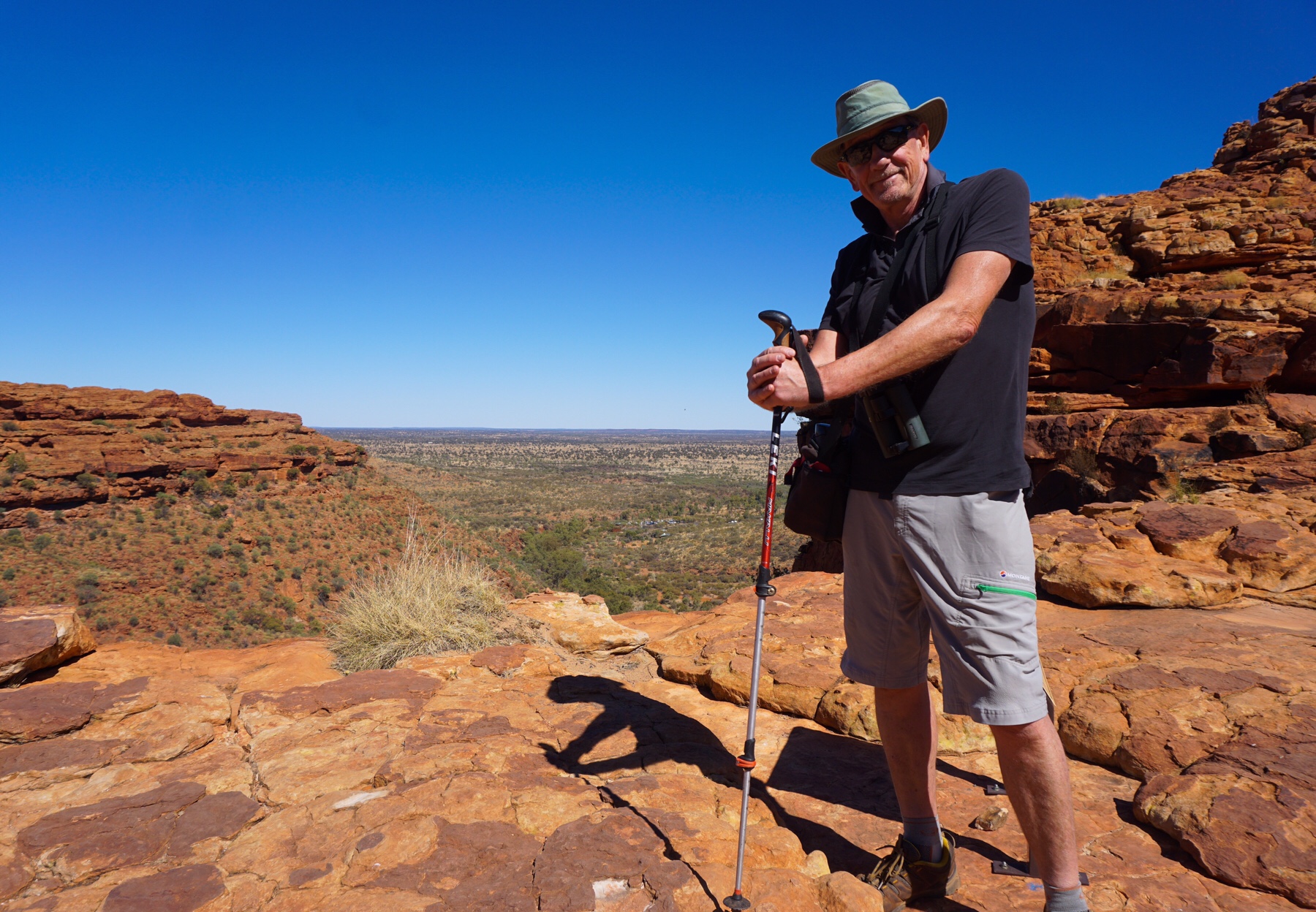
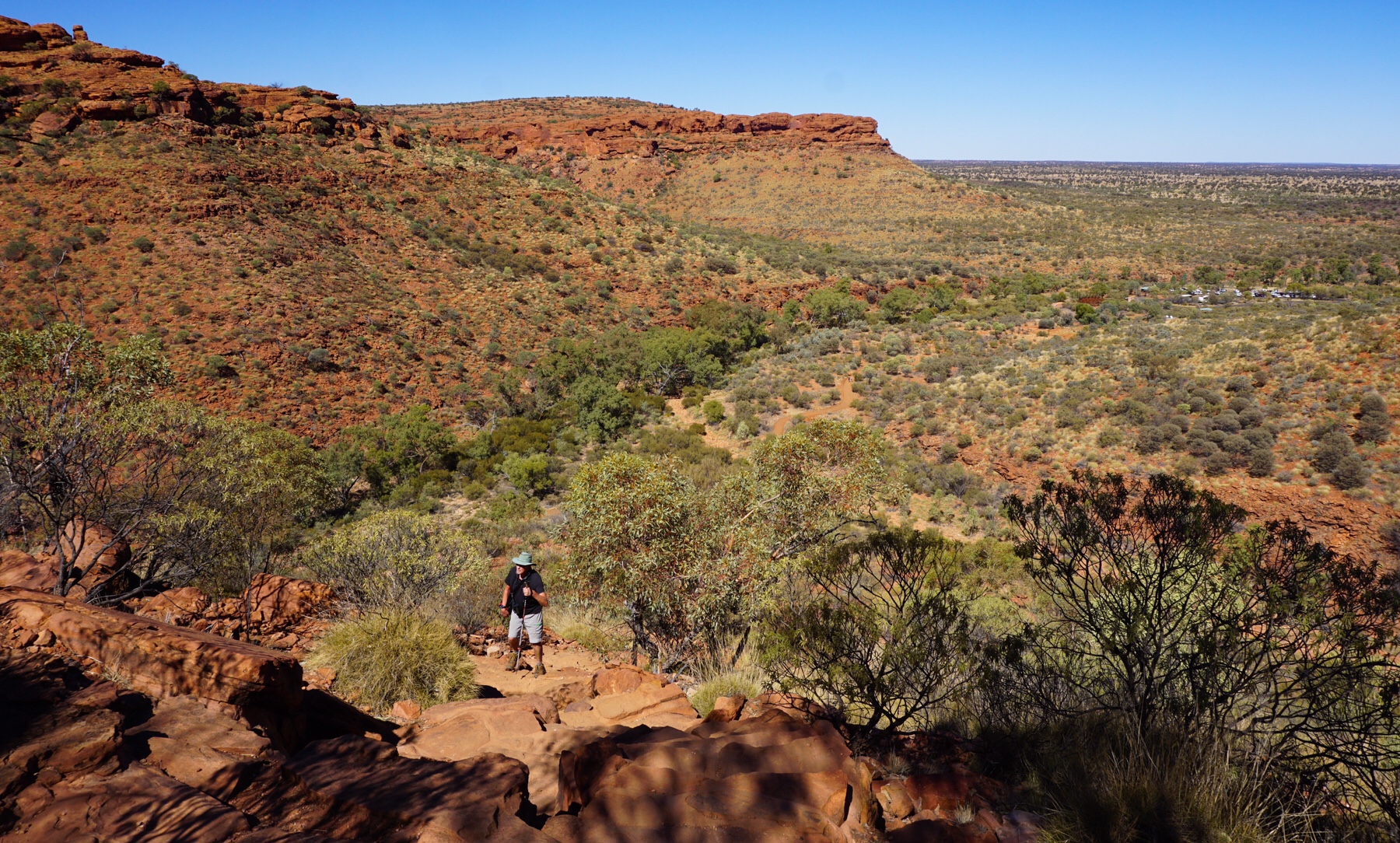 Once you’re up the top of the walls it all gets a lot friendlier, with a lot of red rock hopping over the ancient fossilised sand dunes and sea bed. There is plenty of evidence of the area’s distant past, with fossilised ripples in the rock (they call it ripple-rock, of course) and evidence of the layers of silica in the rock from the drifting sand dunes.
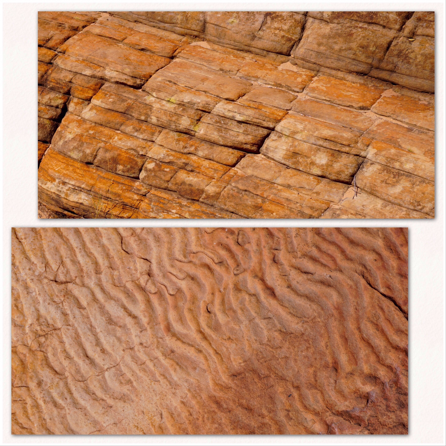 The landscape is unlike anything else, the beehive like structures stretching out into the horizon. I found it interesting to learn that the rock here is all actually bright white sandstone – the red comes from a fungi which grows on the rock and through a chemical reaction allows the red sands from the surrounding arid area to stick to it, hence creating the bright red colour which practically glows in the sunlight.
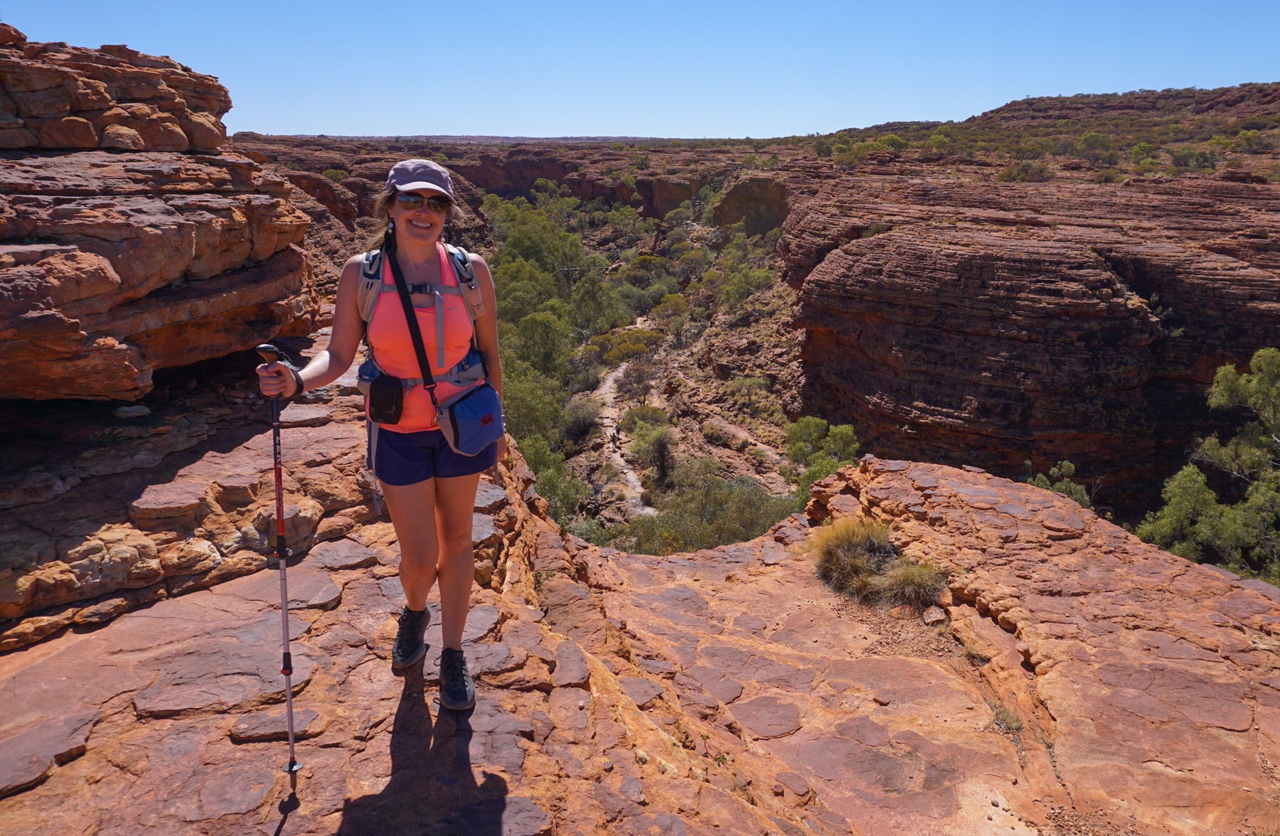
 While not busy, we were certainly not alone on this walk, several other hikers following on the same trajectory – mostly French, a few Chinese and Australians.
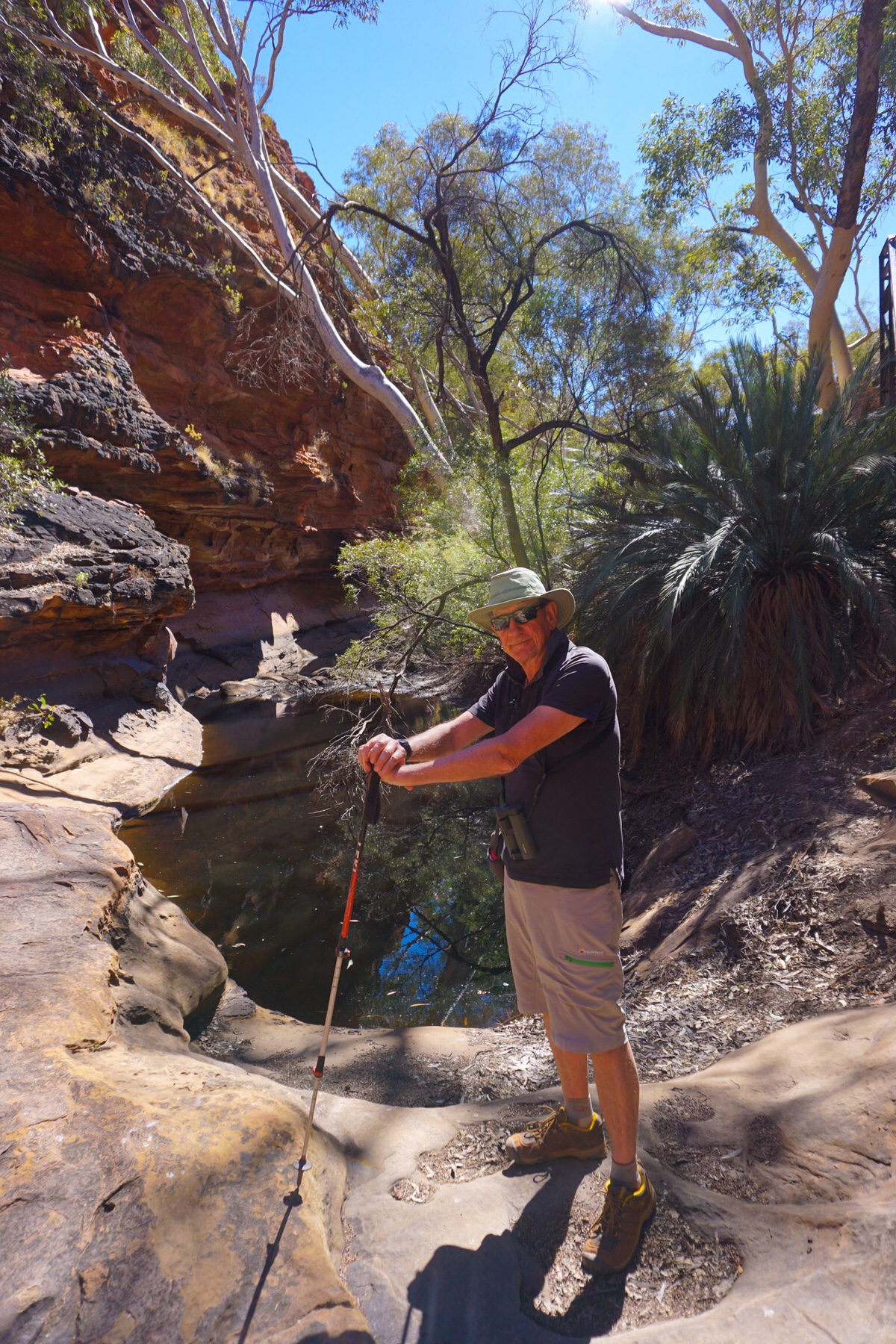
 After completing the circuit we returned for a relaxed afternoon, Miss Tassie rolling in the red sand and needing a lot of brushing (which she loves!). I suspect the two events might be linked. Are we being manipulated by a Burmese cat?
 We left for our ride from the Cultural Centre and followed our noses as there were no signs for a cycling path, but there was this rather large rock to head for.
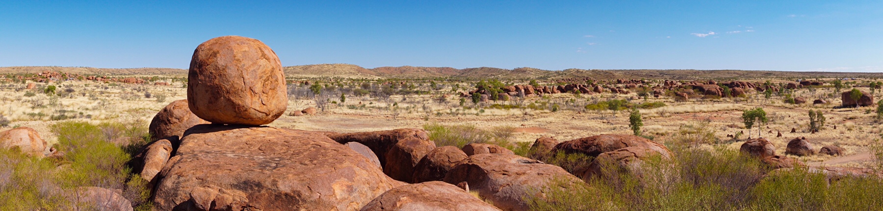
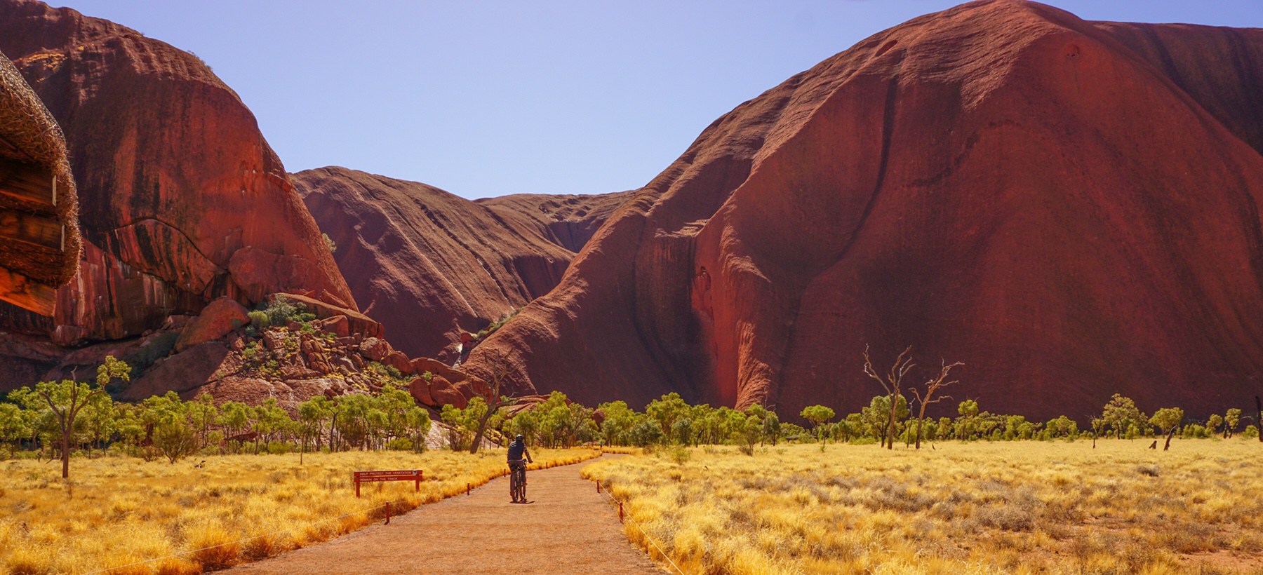
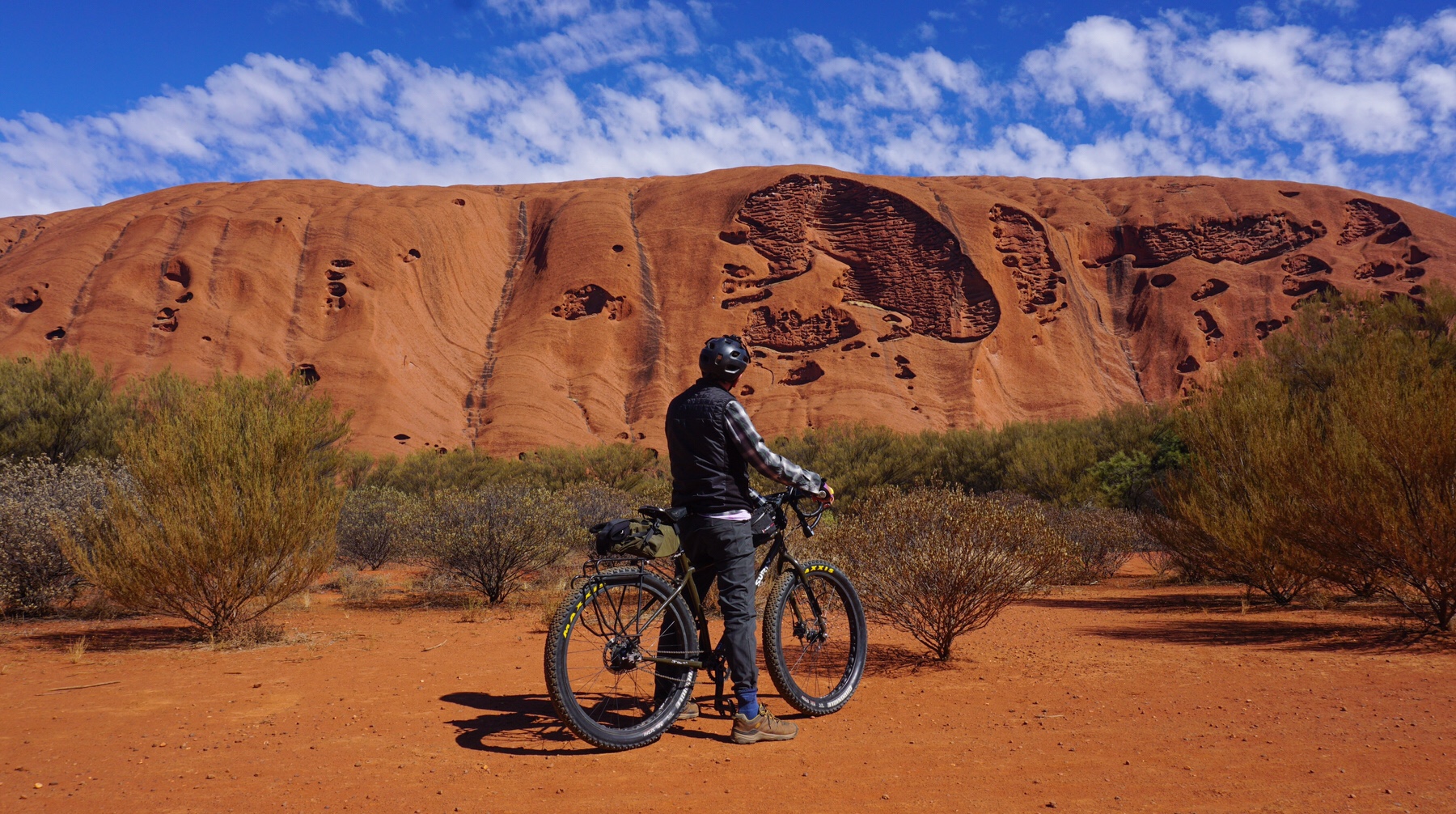
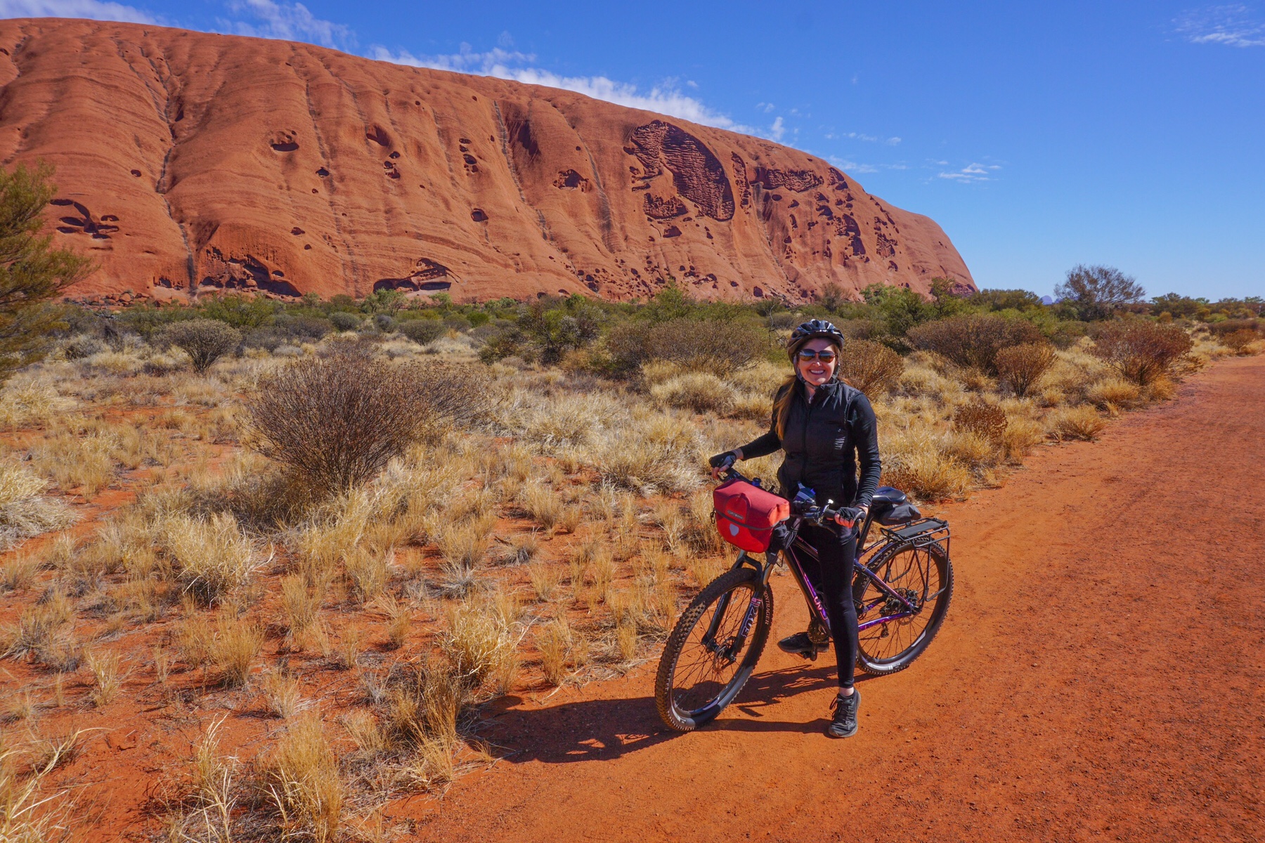 We joined the pain path around the rock and checked the signage, it only showed walkers, but there were bike hire companies around and plenty of tyre marks, so off we went.
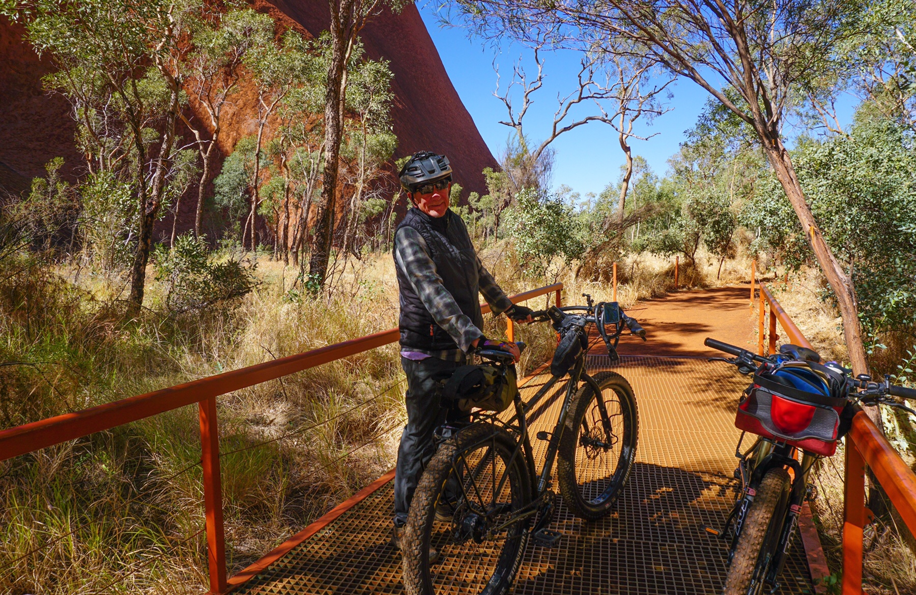
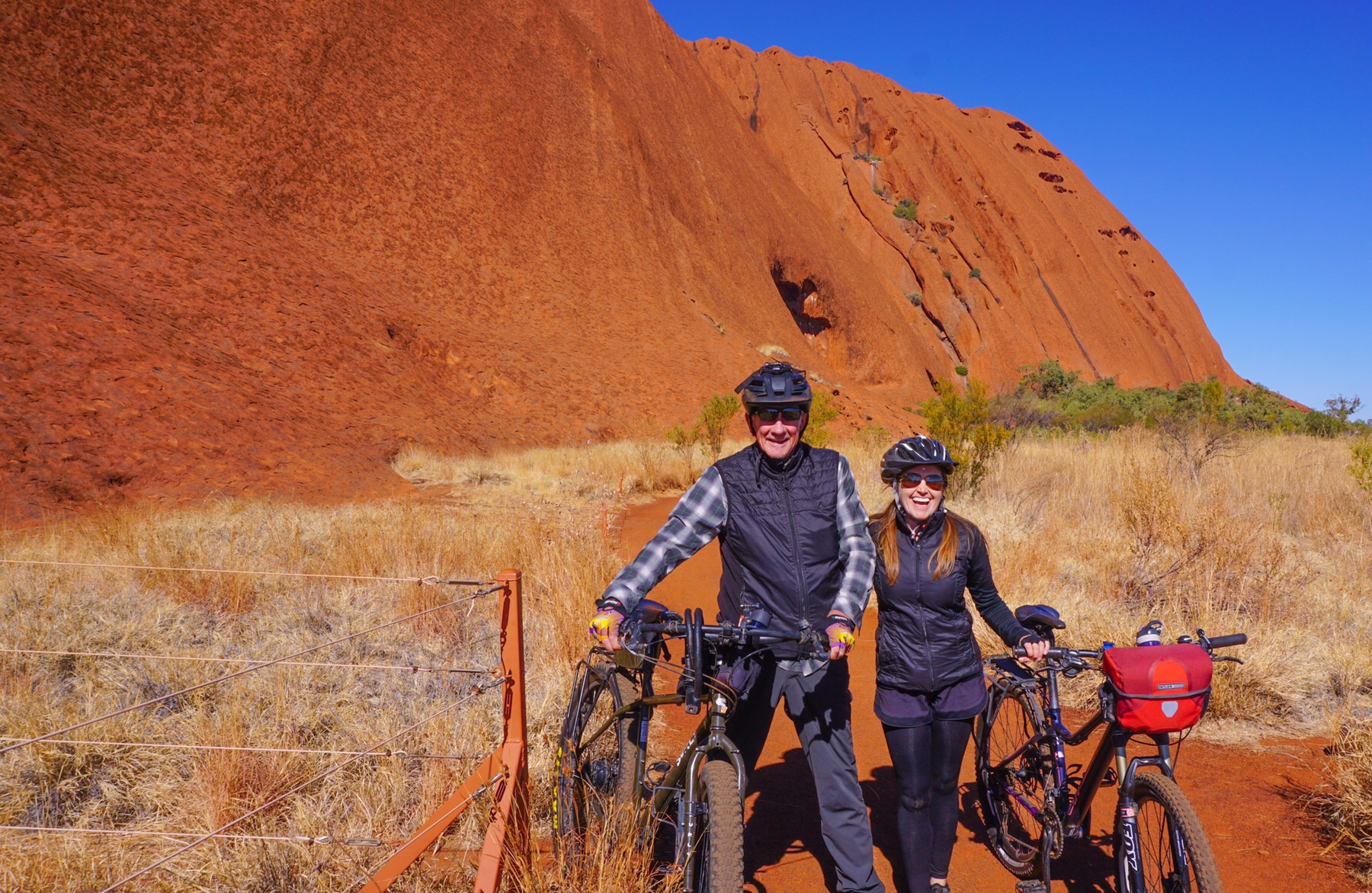 Riding a bike always brings a grin to our faces wherever we are, but to be riding along under this brilliant blue sky, dwarfed by this towering red rock…breathtaking. We just couldn’t stop ogling this magnificent scenery. Neither of us are in any way spiritual, but we both felt this to be the closest we could get, just sitting quietly looking up at this massive granite monolith towering over us.
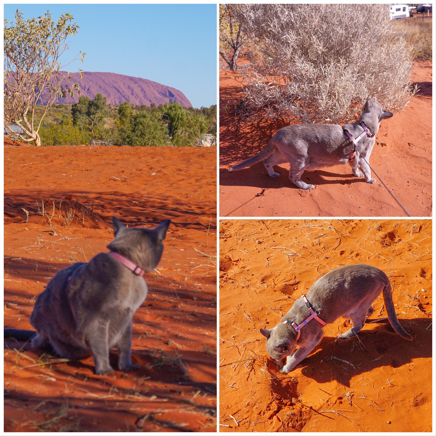
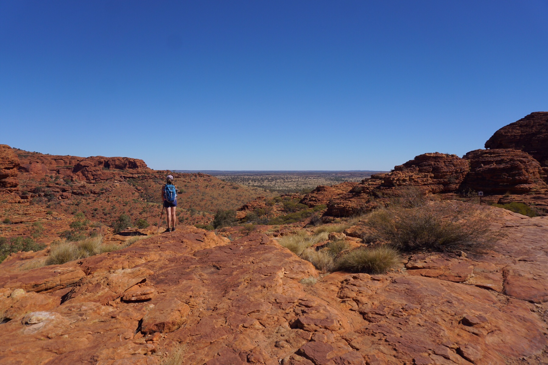
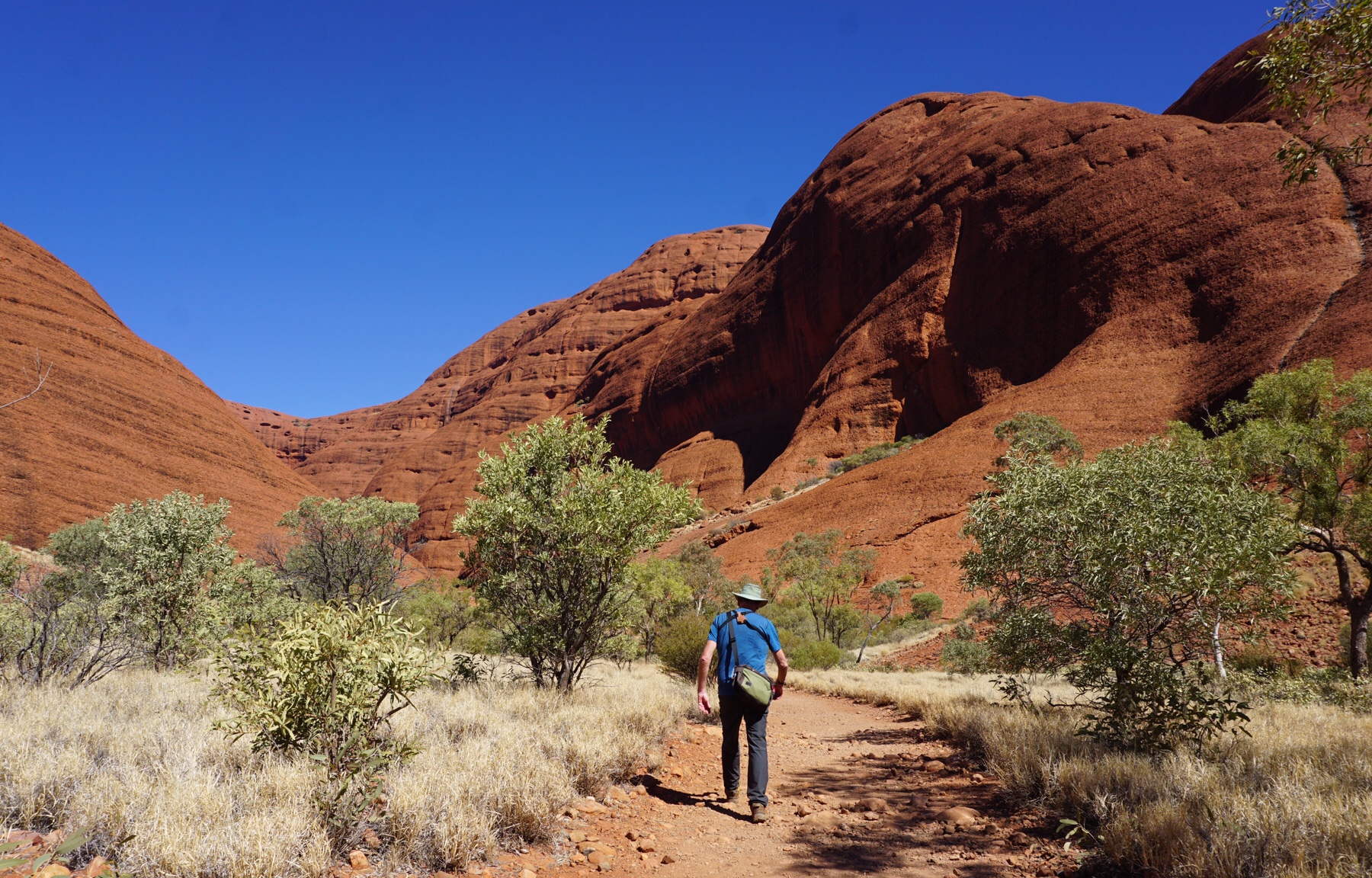
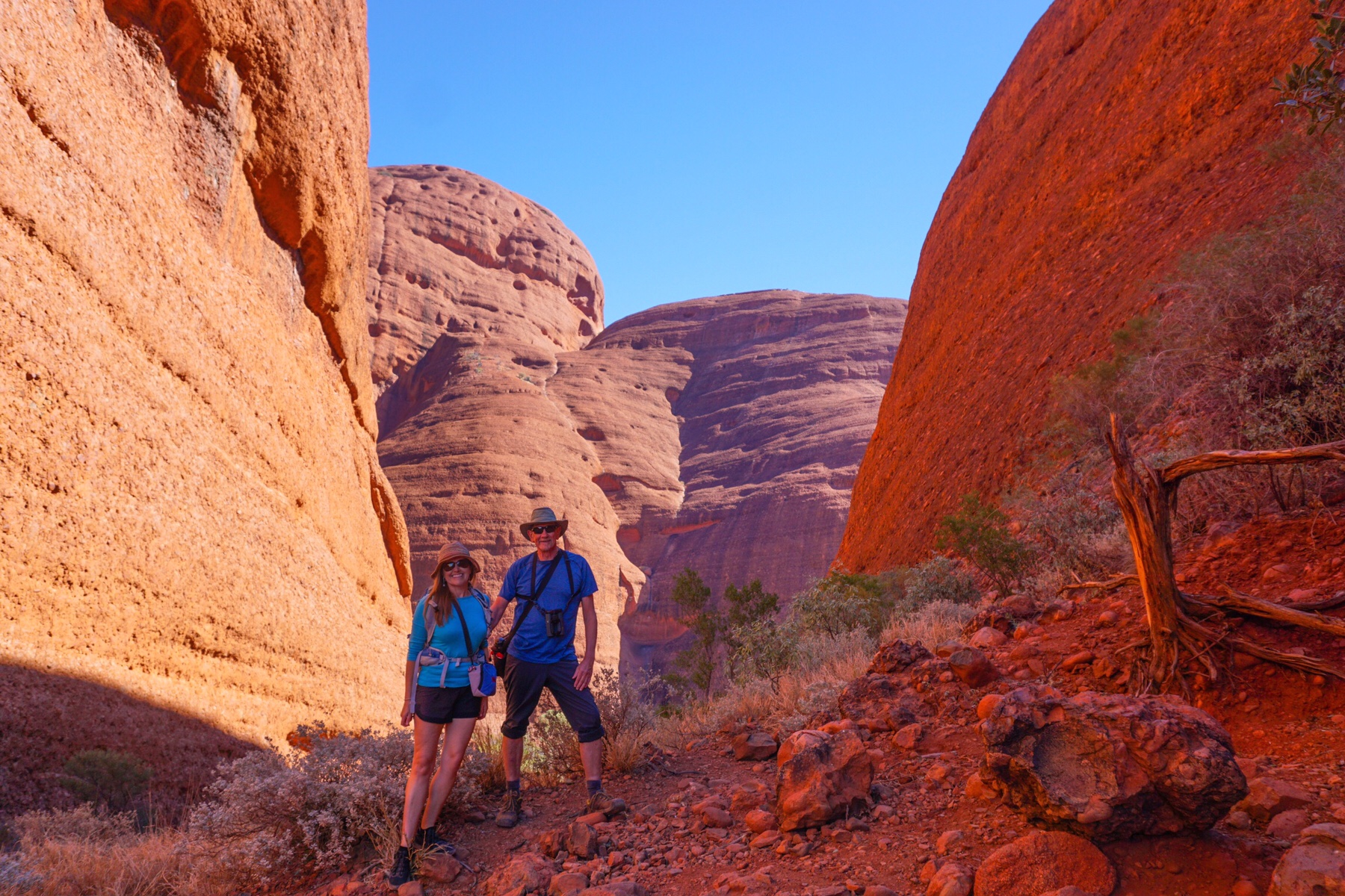
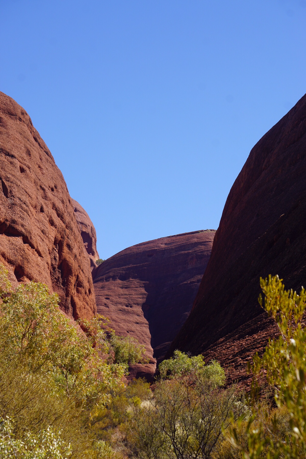
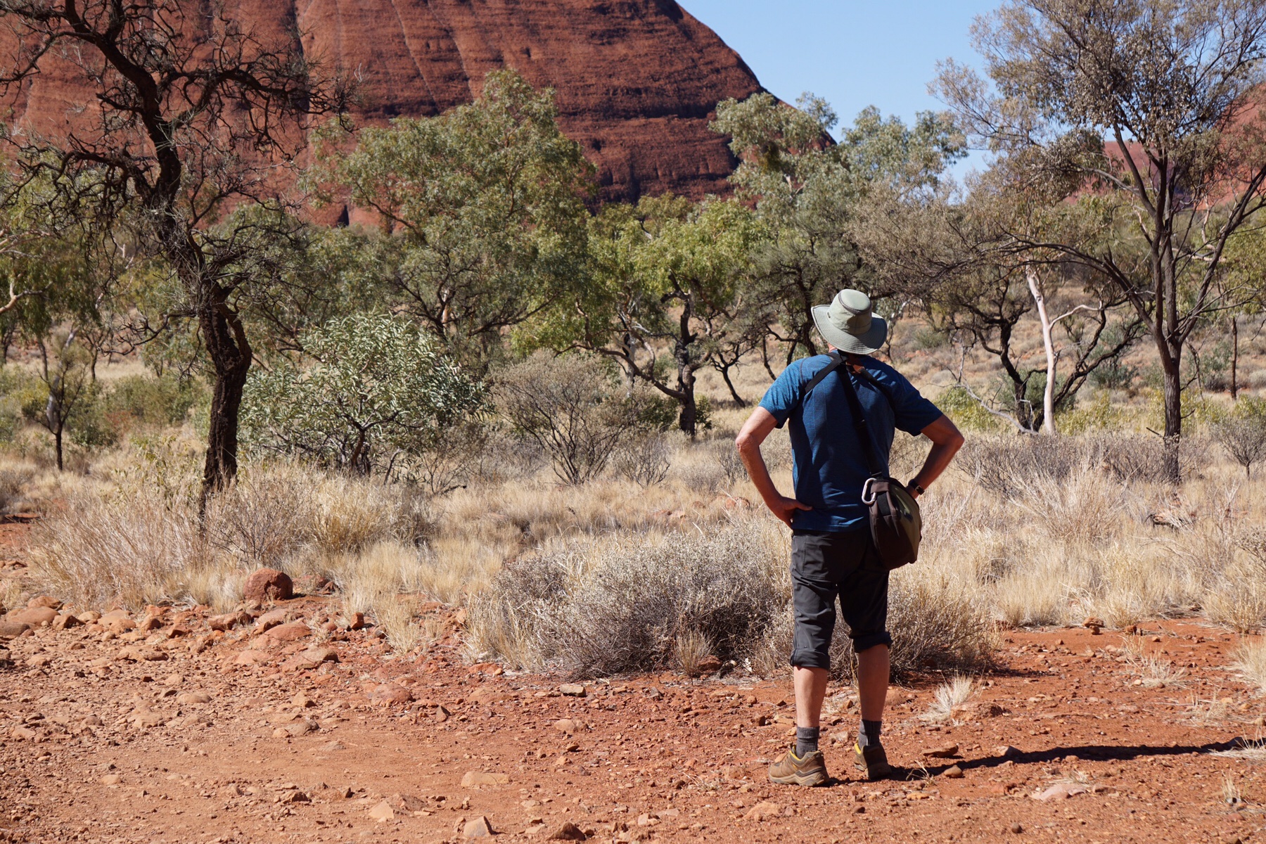
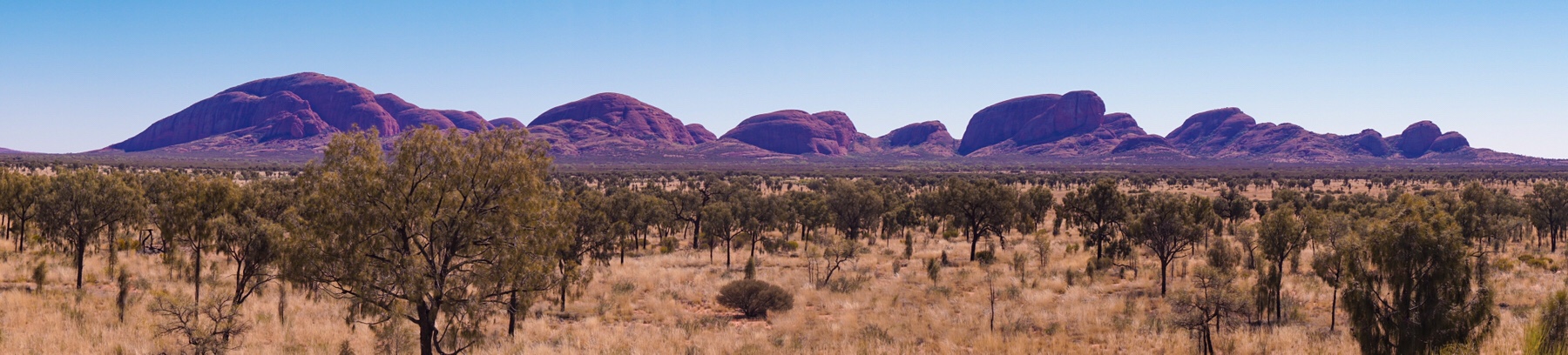 The short walk we did here was one of the most enjoyable we have done from a scenic perspective for ages. It’s called the Valley of the Winds walk, and takes you up through the domes and in a 7km circuit.
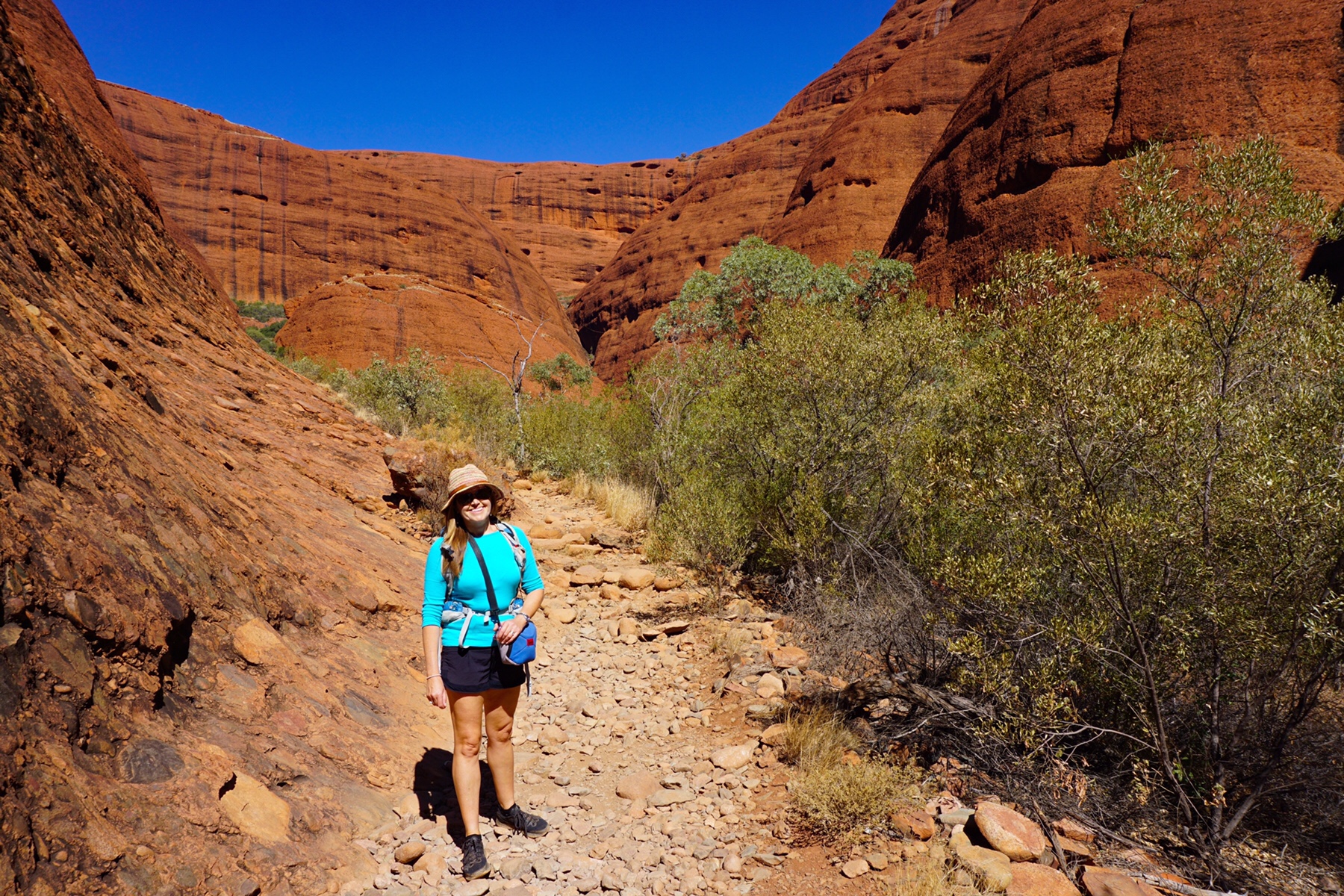
 (Below, a friendly Grey Shrike-Thrush which accompanied us on our walk)
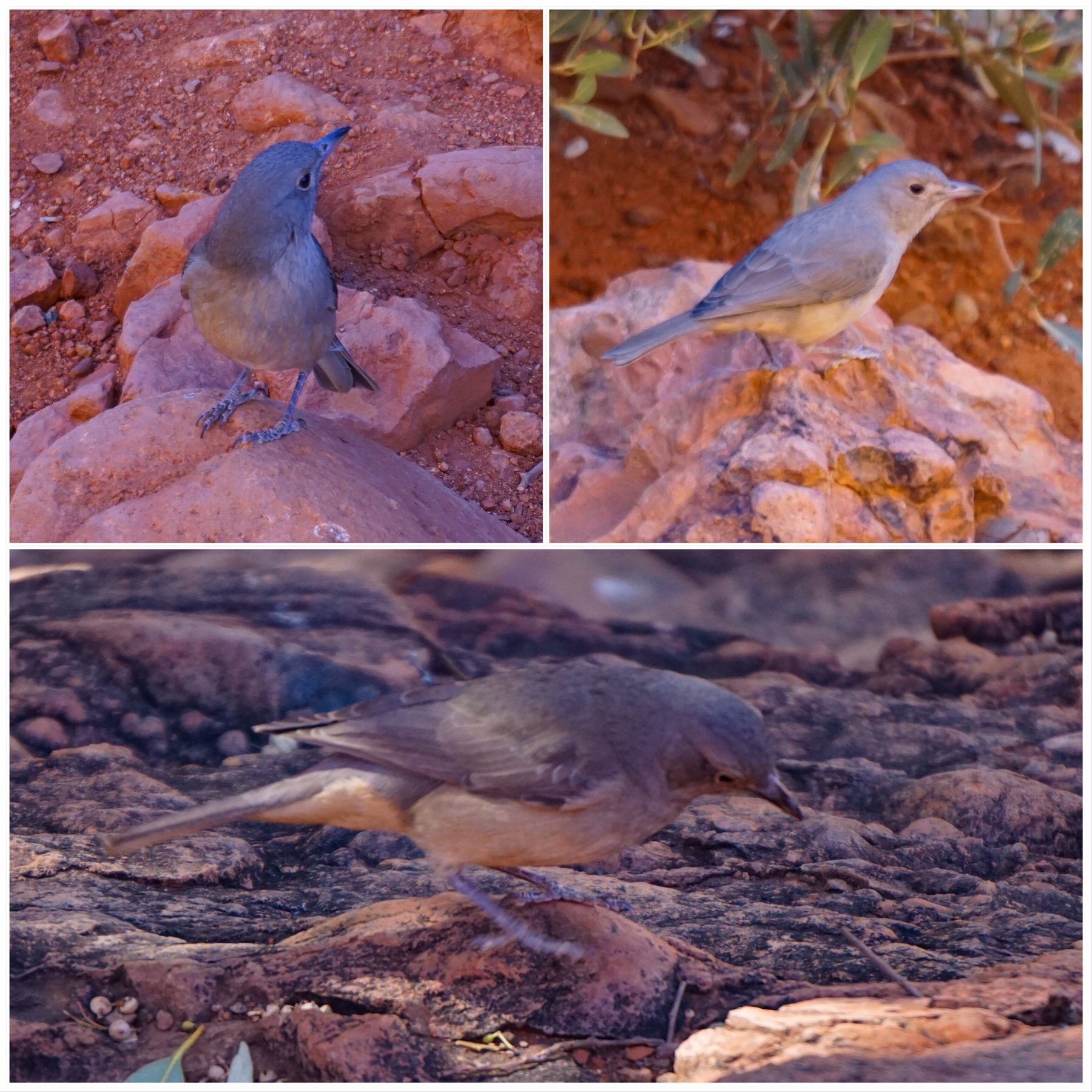 We could easily have spent a few more days here, but we are now on a bit of deadline, given we have lost a couple of weeks from our itinerary. So soon it was time to pack up and move on.
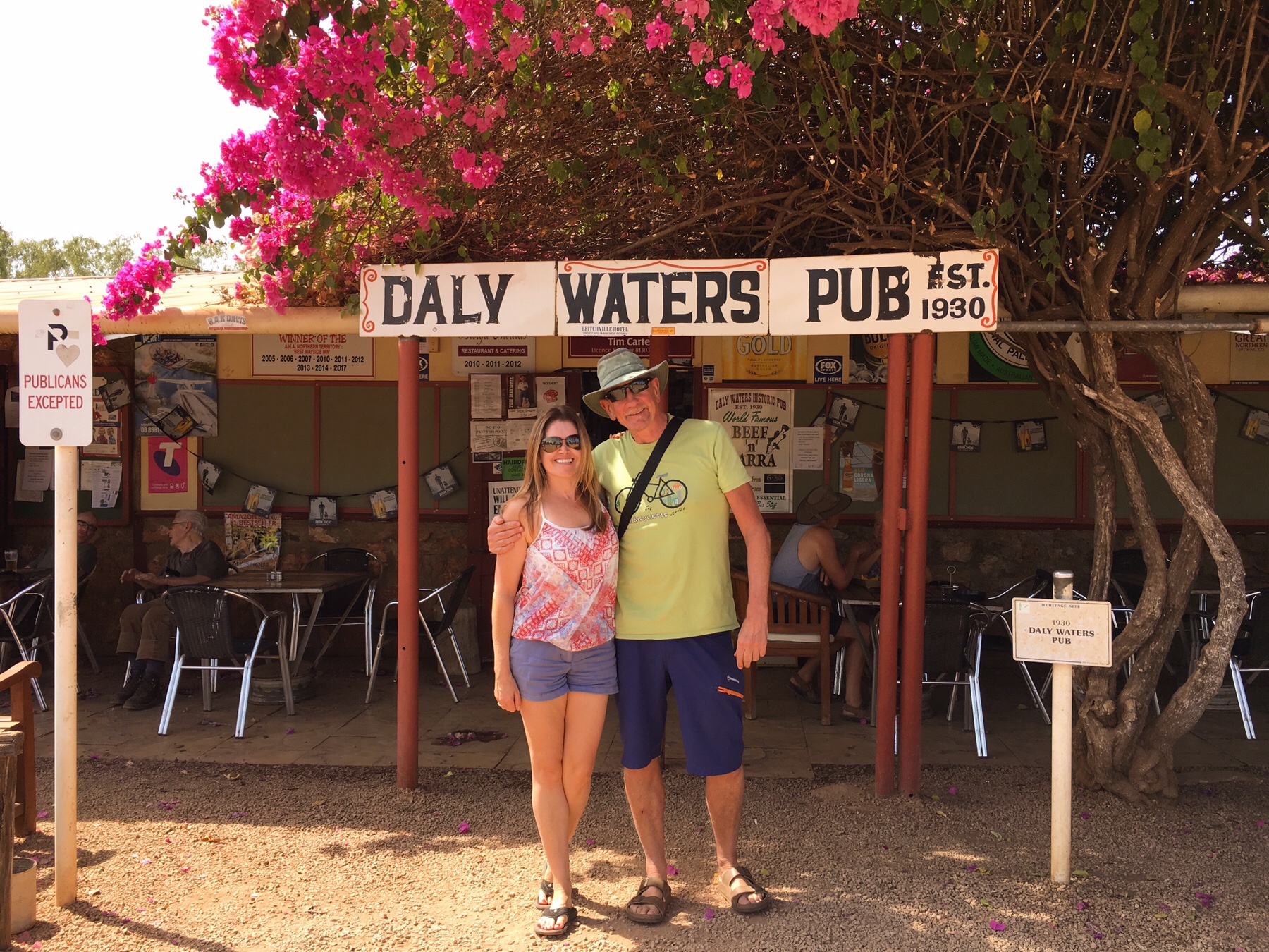
 Anyway, it was a long day in the saddle, but we pulled up finally at a place we had stopped at on the way north last year. It’s just an old road that loops off the Stuart Highway for about 5km, signposted ‘Churchill’s Head’.
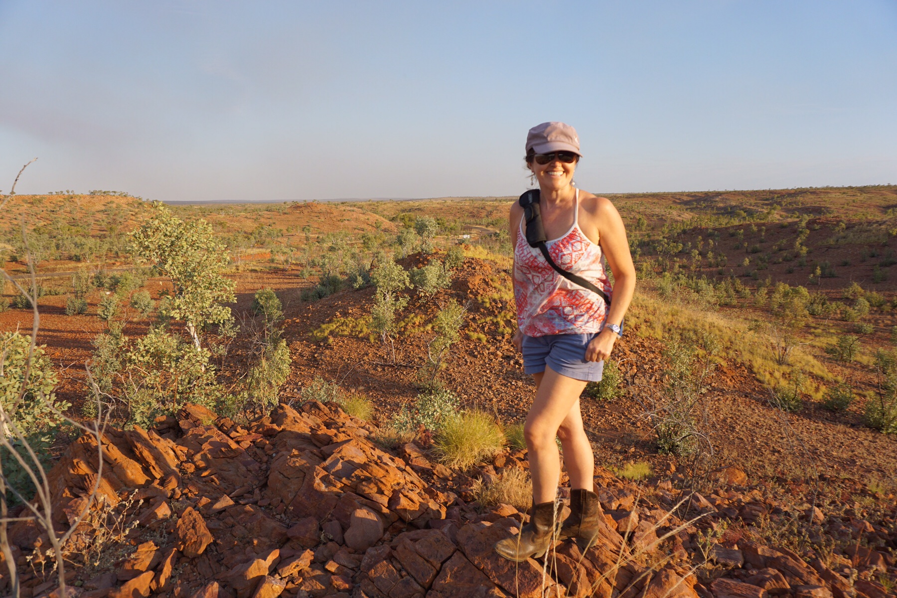
 No facilities, just a level bit of ground a view across the plains. We loved it last time, and we love it again. There seem to be so few places like this on the well trodden routes we have been following. For a start there are very few minor roads that lead off the main highway, so we are drawn to caravan parks or the crowded free camps often so close the highway that the road trains sound like they are coming right through the Zone! “Ah..the serenity”, to quote from one of our favourite movies “The Castle”.
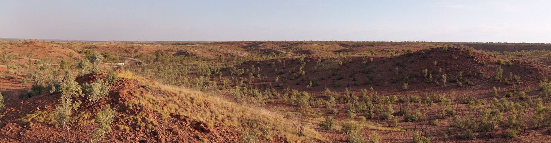 If we were to walk out of the van due west we wouldn’t reach another tarmac road for 1,325km – on the west coast of Australia, south of Broome. Not one hint of civilisation, except the Alice to Darwin railway. Nothing else. What a country. How many places in the world still have that amount of emptiness?
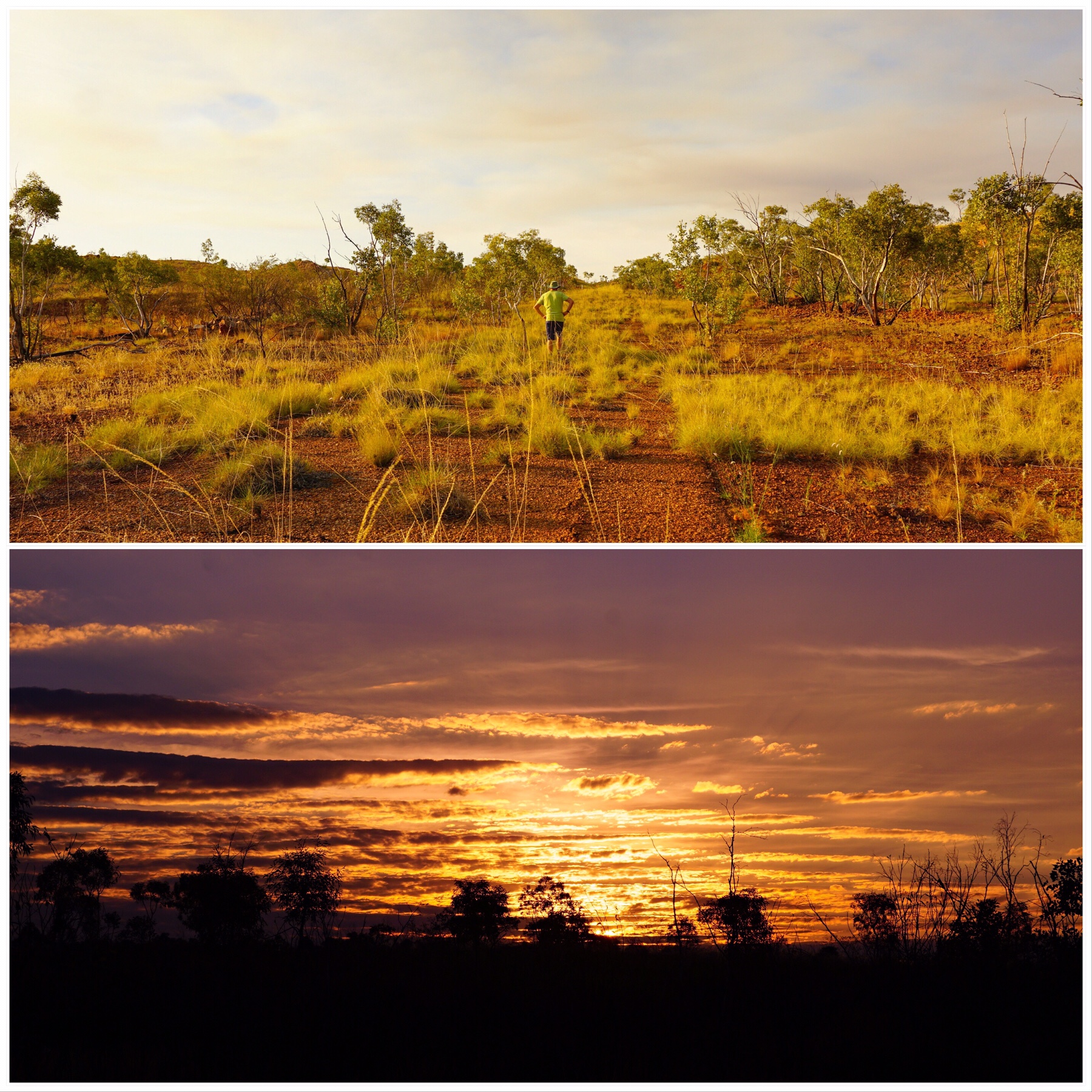
 Then after lunch we were through Tenant Creek, only stopping for the dump point, and by late afternoon arriving at our camp for the night in a small service centre for the surrounding aboriginal communities called Ti-Tree. Guess what sort of trees grow here?
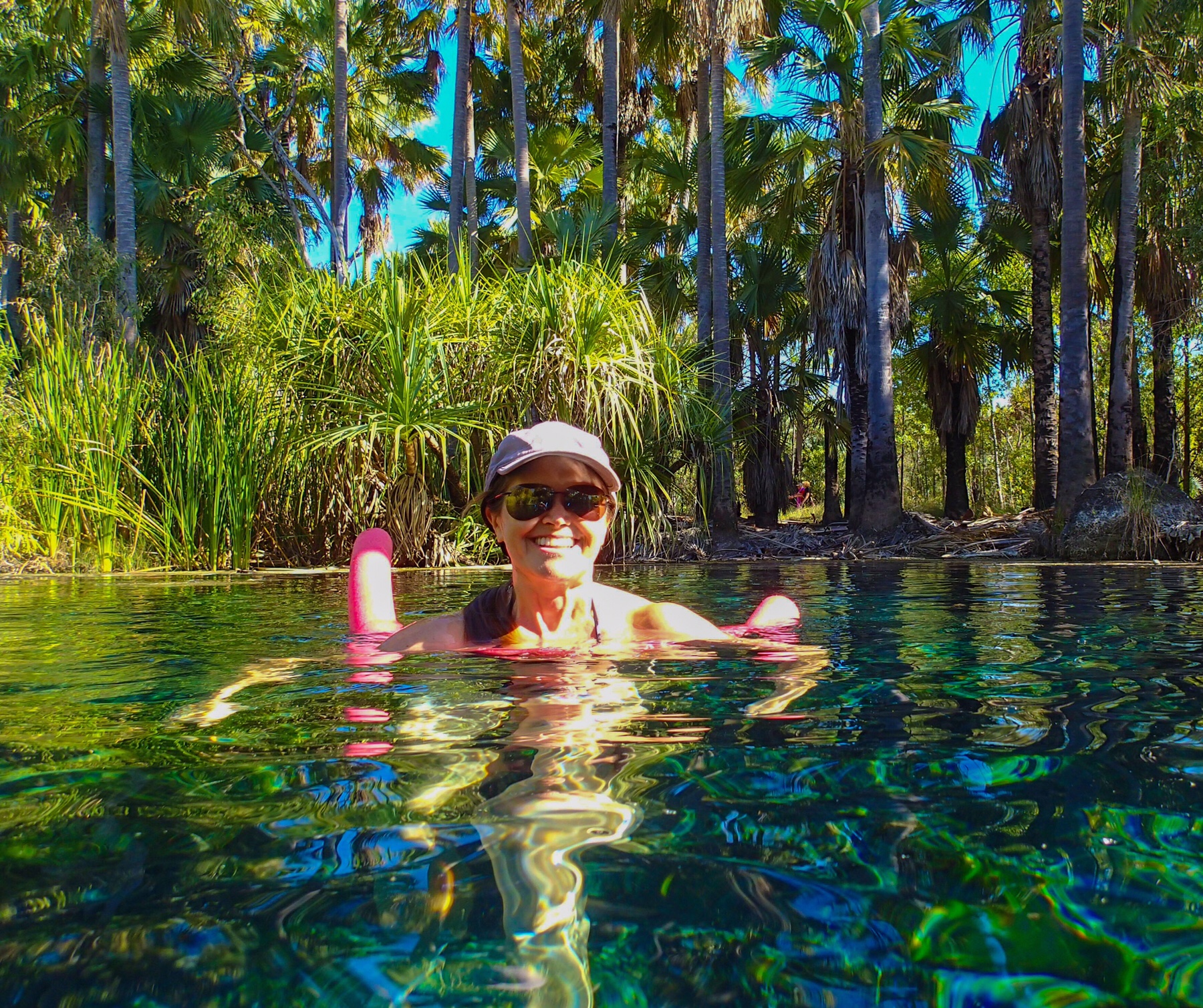
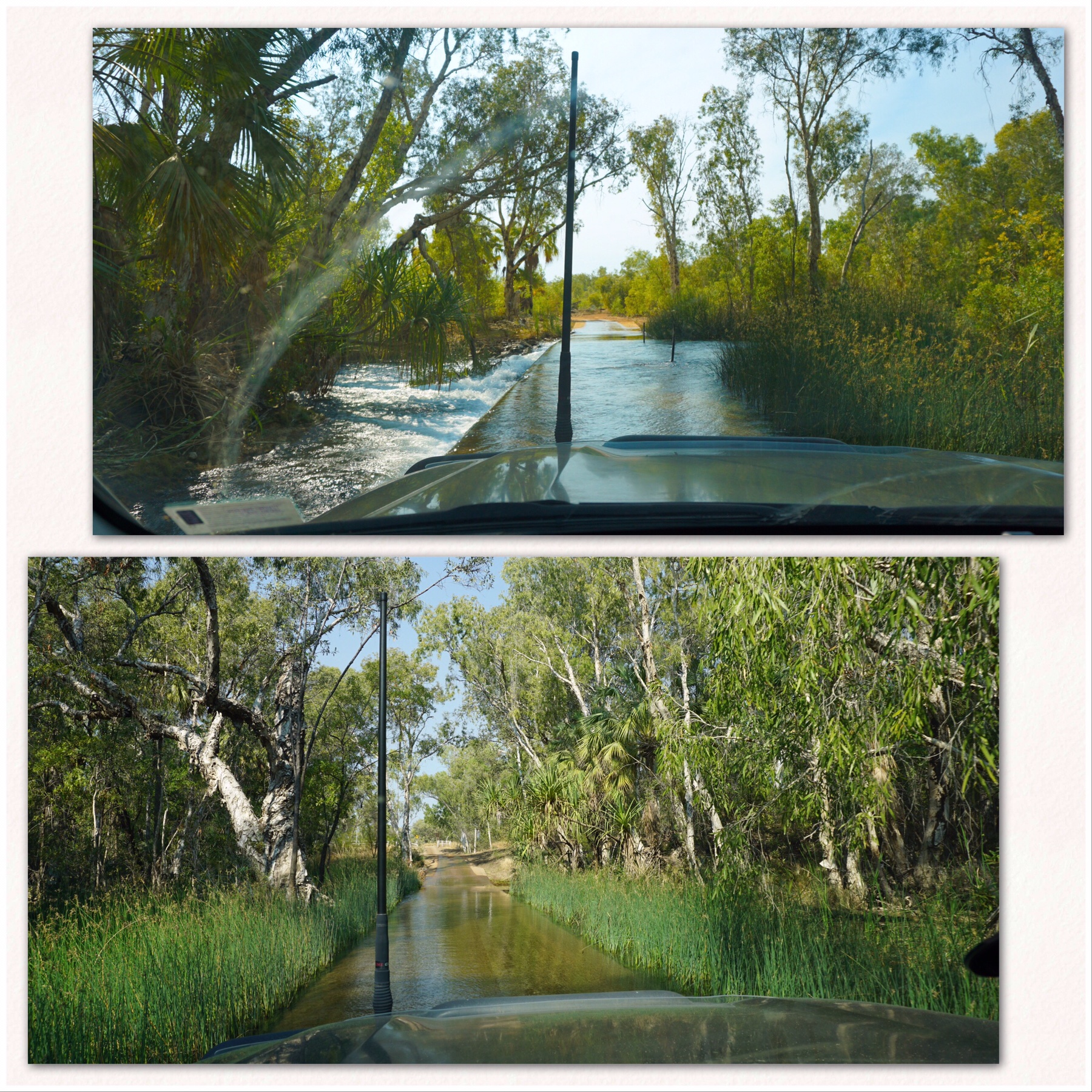
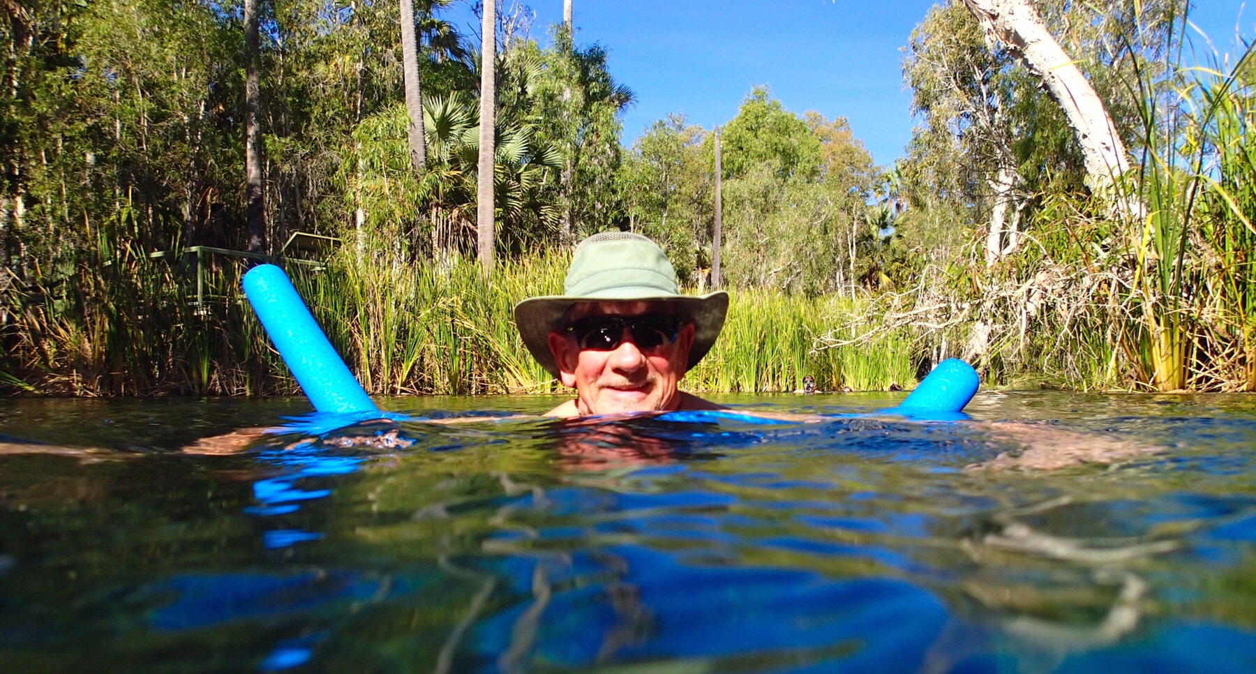 After all the heat and dust of the past few days, this was just what the doctor ordered. We swam up the warm river about 20 metres and were soon away from the crowds and had a lagoon all to ourselves. Just bliss. This has to be a stop over if you’re heading this way.
 We did a short walk along the river before returning to Bitter Springs for a dip in the serenity.
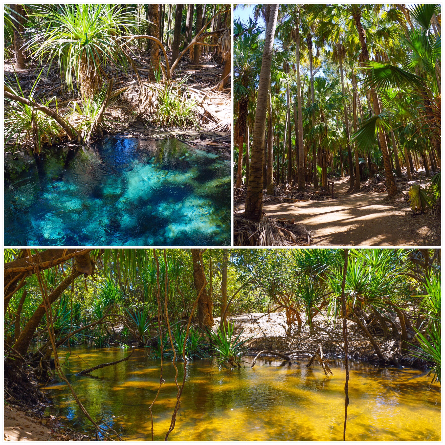
 Top tips for visiting Bitter Springs (Stay at Bitter Springs Caravan and Camping):
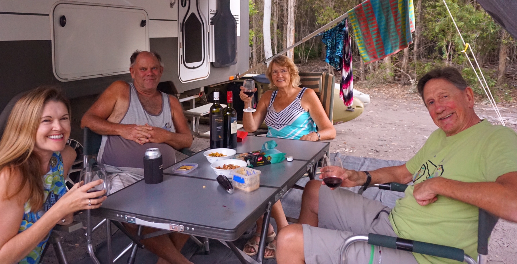
 Just one small part of the 40km square area is open to visitors, but it offers a fabulous window to some of Australia’s evolution. Harking back to times when this dry dusty area was instead rich rainforest peppered with spring-fed lakes and pools – now limestone beds packed full of fossilised bones.
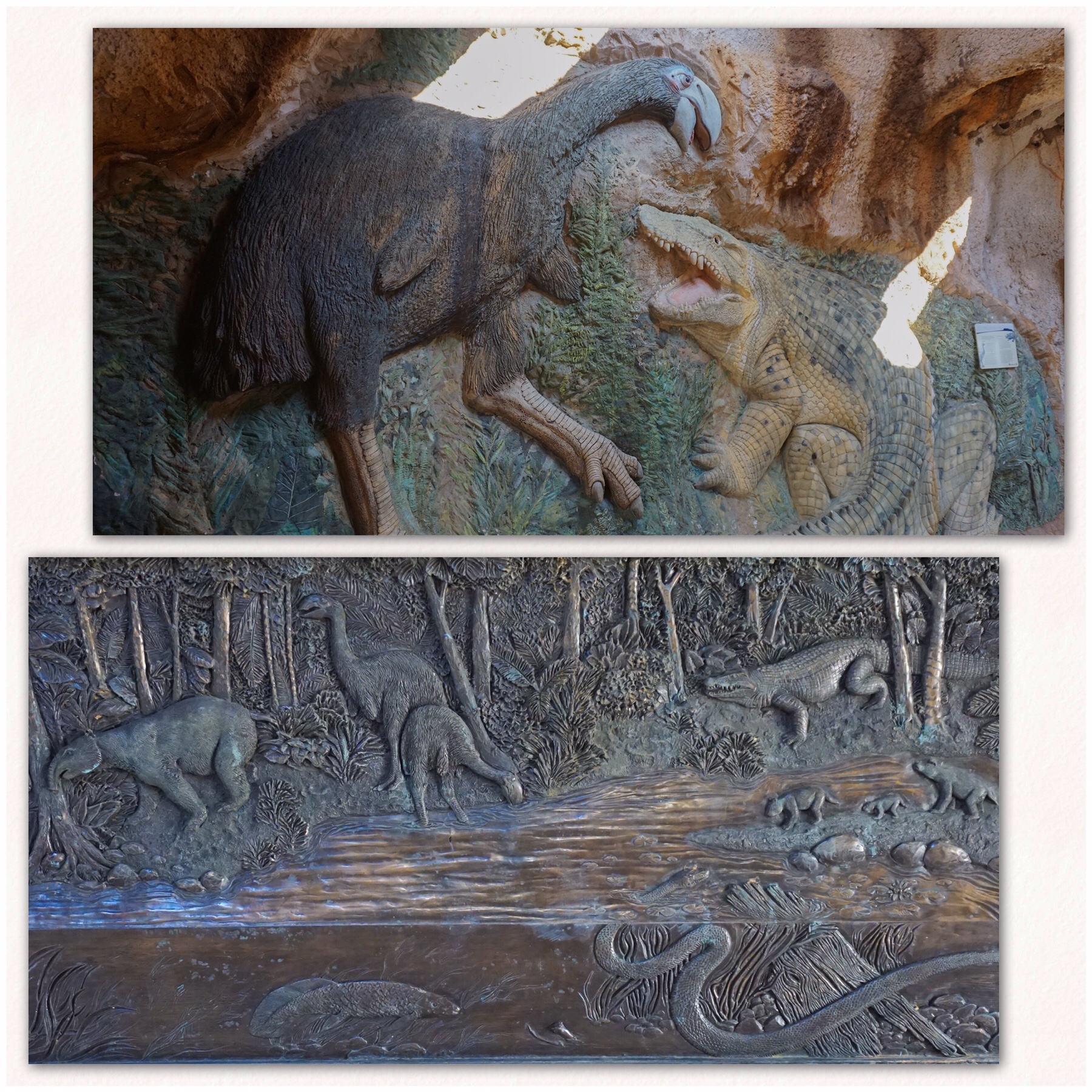
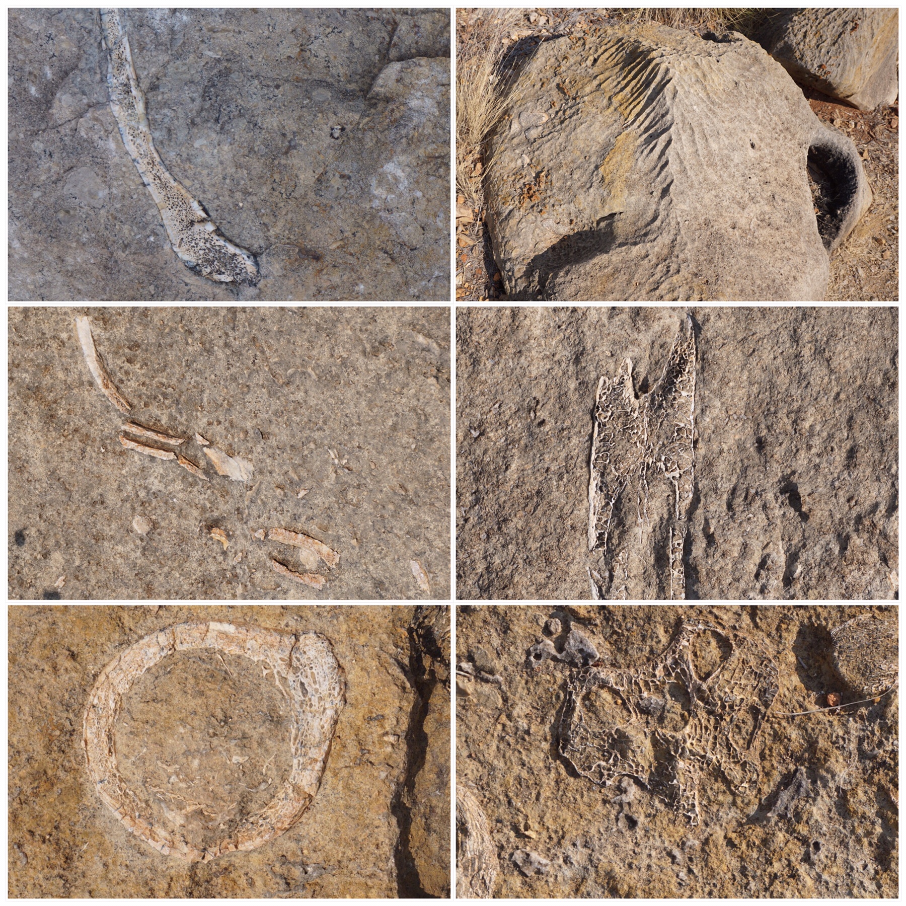 The national park seems to be in cahoots with Adels Grove, with a lot of encouragement for visitors to do a paid trip with a tour guide. We tried to get on a tour but none were running, so we did a self-guided visit. There was very limited information provided on boards, and may fossils with no details beside them. You had to use a lot of imagination to understand what you’re looking at, and a lot of Googling later on when we finally got enough phone signal to connect to internet.
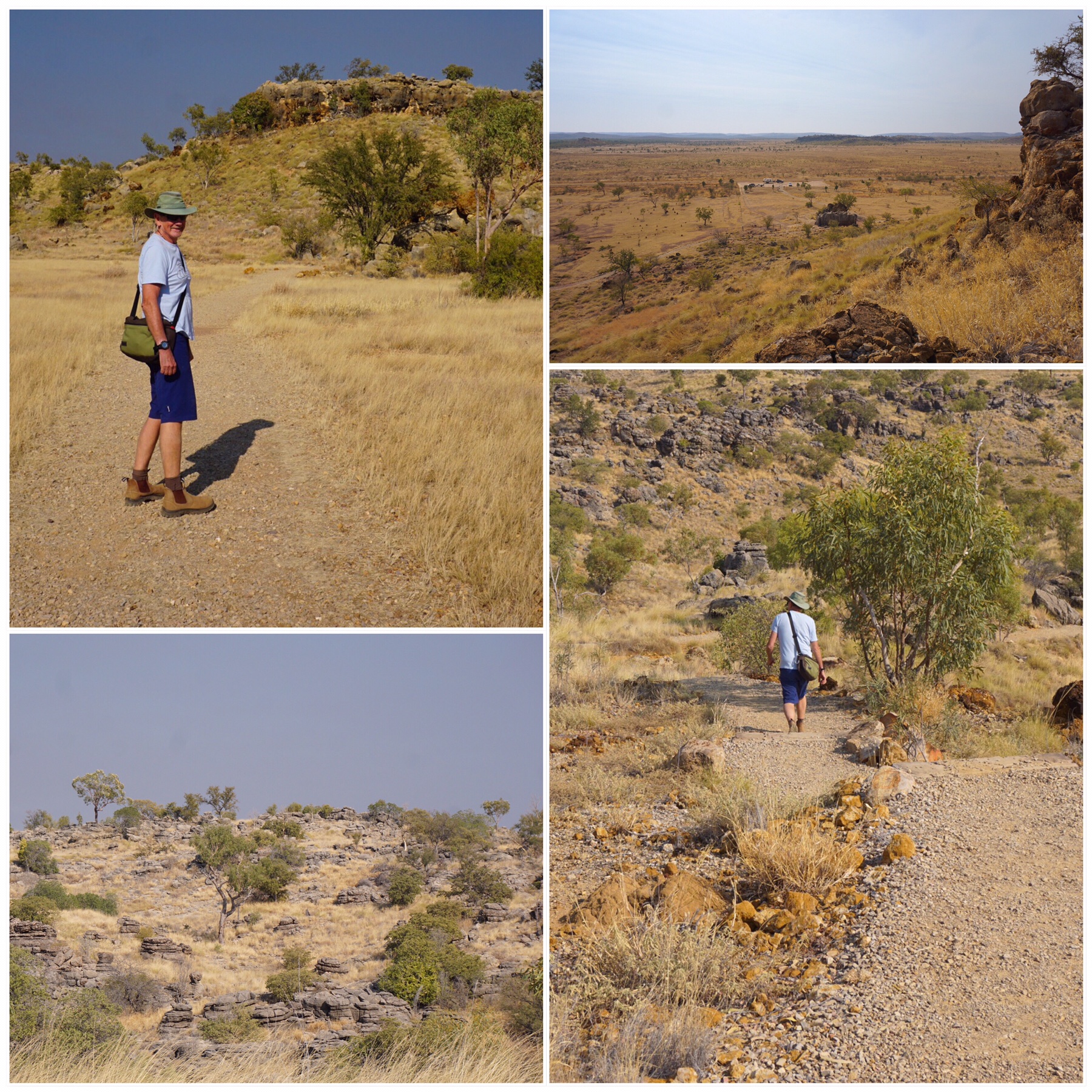
 It was a slow old journey which led eventually to tarmac, and then another 200km to our destination for the night, Camooweal. There we did a massive clean, inside and out, to try and rid ourselves of some of the red dust we had accumulated over the past few days.
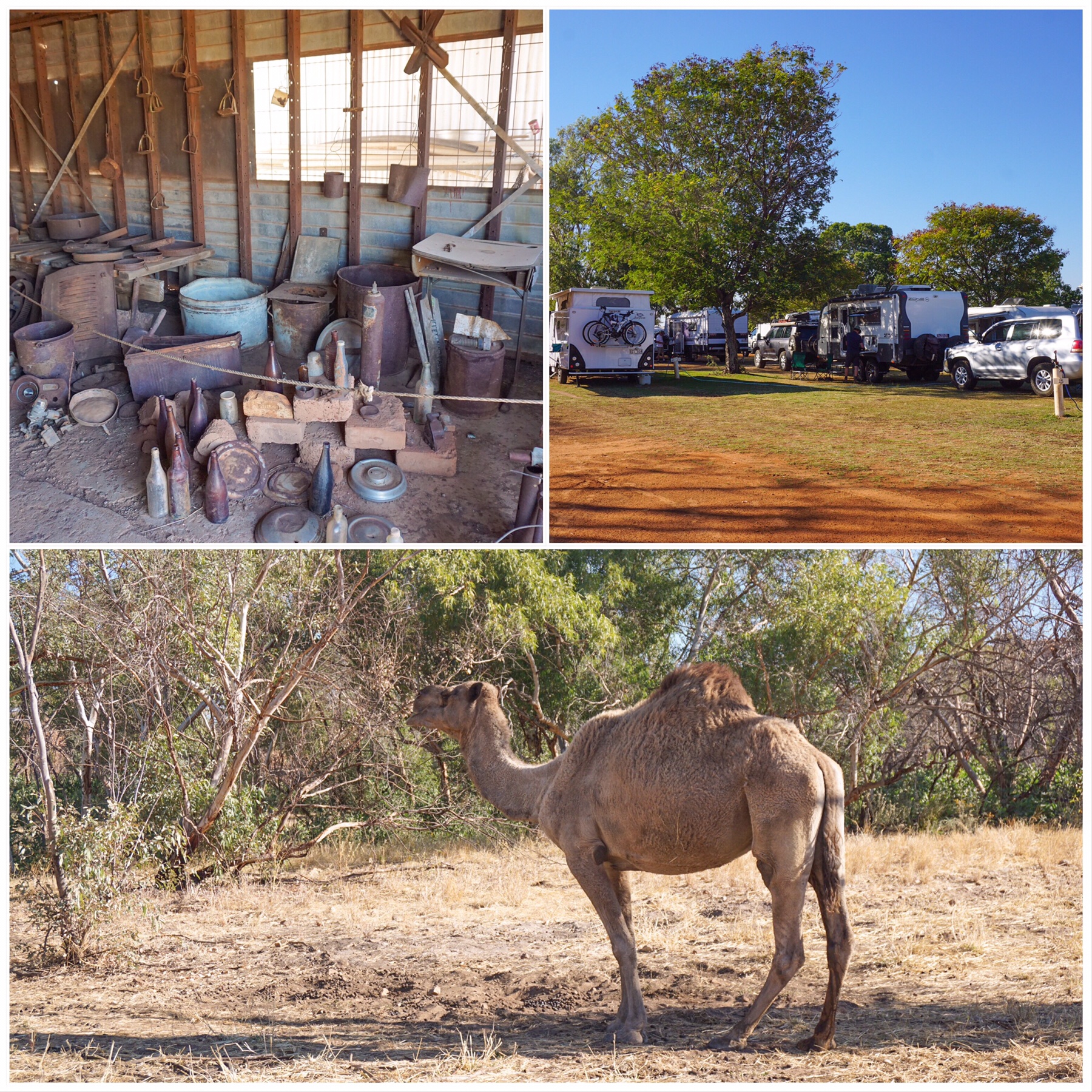 It is amazing how many caravans are on the road – it is not even school holidays any more, and everywhere is heaving. Stations like this are literally raking the money in. We park in rows in a paddock, each van having access to water, a shower and toilet block, and a country music singer around the campfire at night. All this for $20 a van – that’ll be around $1,500 dollars per night earned…not bad for a patch of dirt.
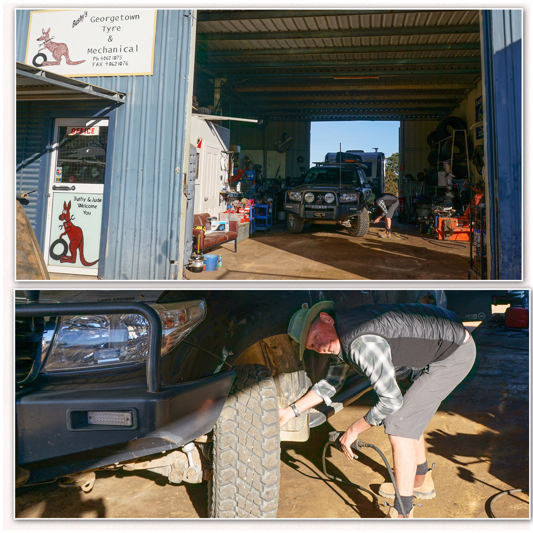 Before long we had backed the caravan into the workshop and Mr A was inflating tyres as Bushy did his work, welding the new brackets to the front right hand side of the van. He did a thorough check of all the other brackets, and added some extra weld where he felt needed the strength.
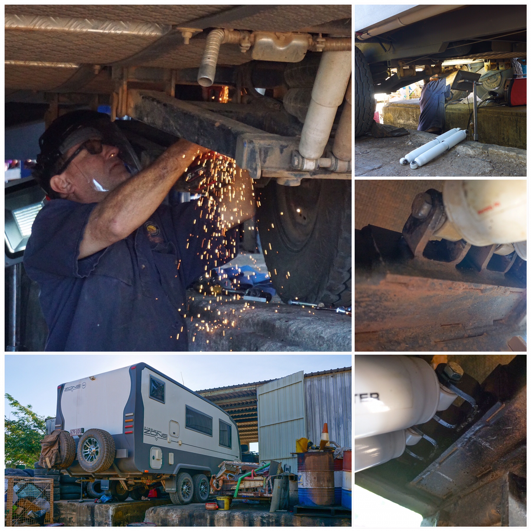 By the time we pulled out at about 10.30am we felt happy that all was securely in place and Bushy reassured us it should stay that way for the foreseeable future.
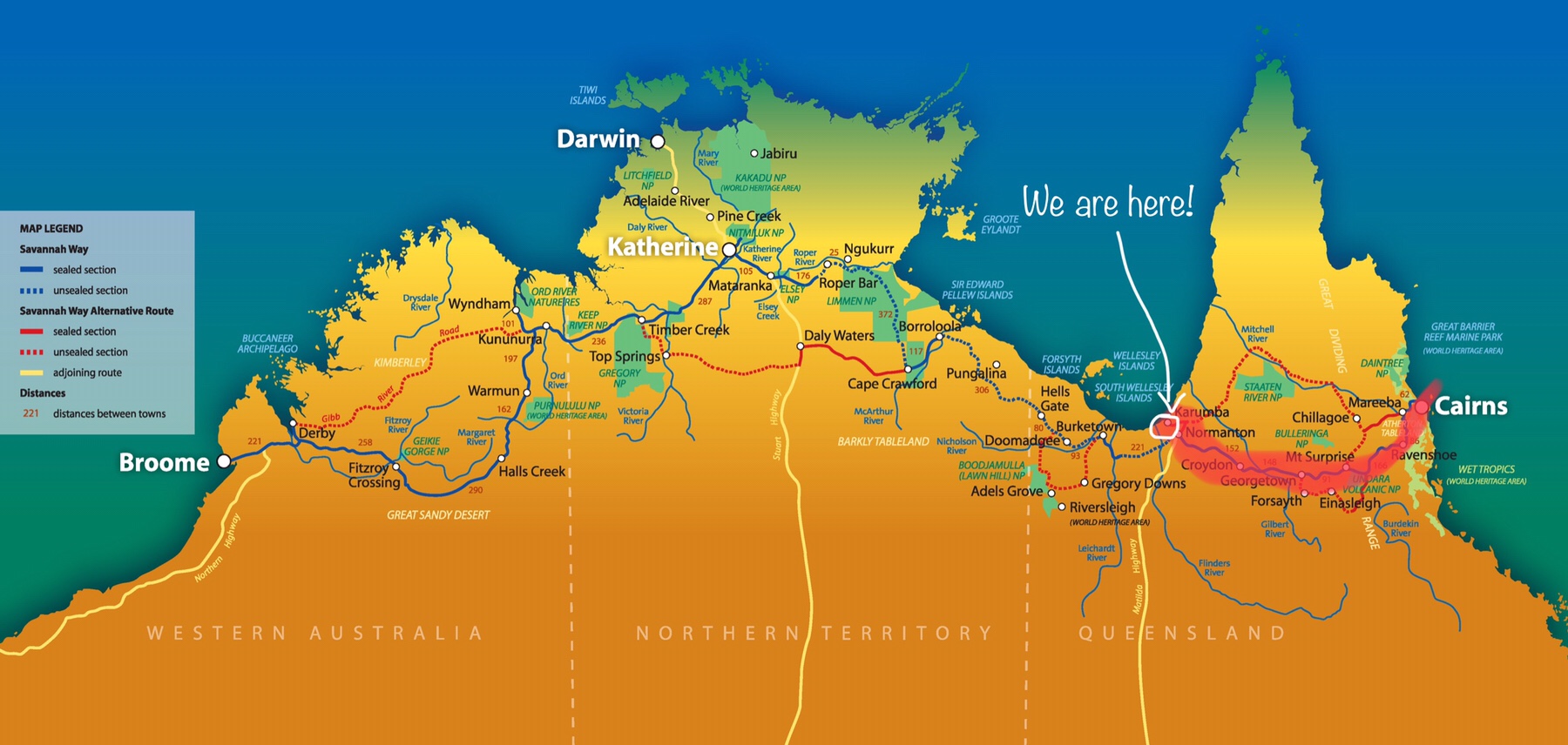 The air feels lest dusty up here, and it is so good to see the ocean again.
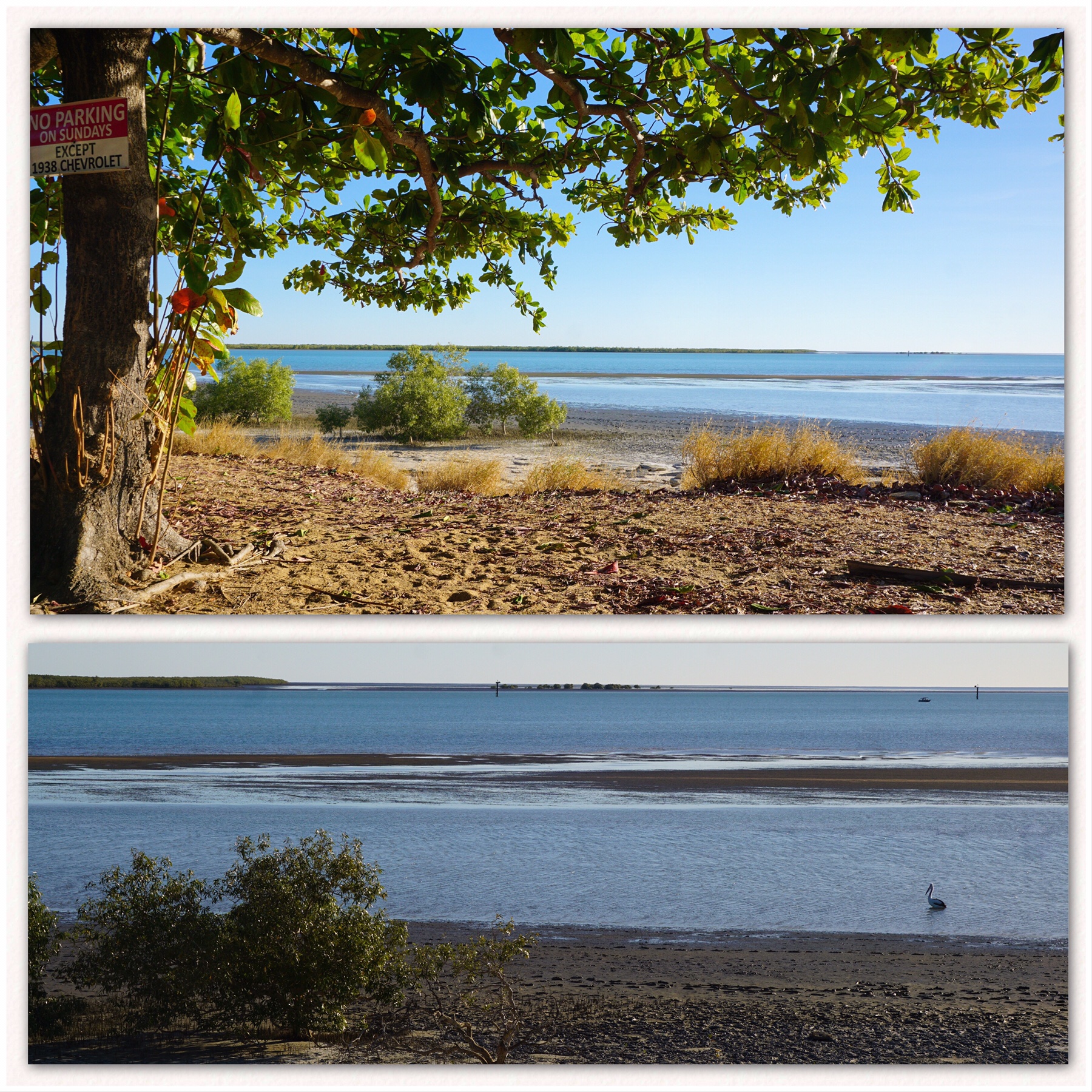 There’s a lovely looking Tavern right on the water front, with a surprisingly interesting menu. It has a large beer garden overlooking the water and sunset, and we have earmarked a couple of seats for tomorrow afternoon.
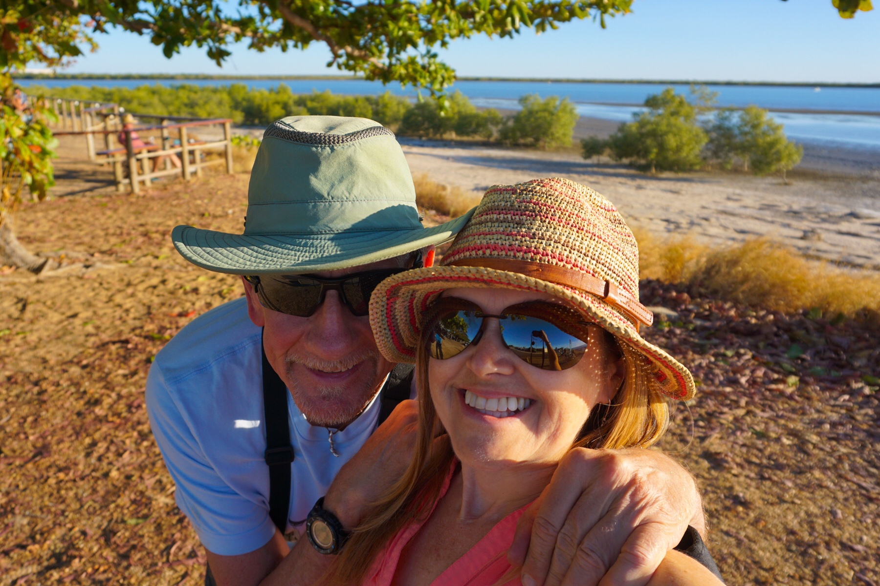 We returned to camp to watch the sunset over the wetlands, before making dinner with our fresh veg. We watched the whistling kids flying in for the fish scraps being shared by those lucky enough to catch something today. The birds swooped down and caught snacks tossed in the air – quite a sight.
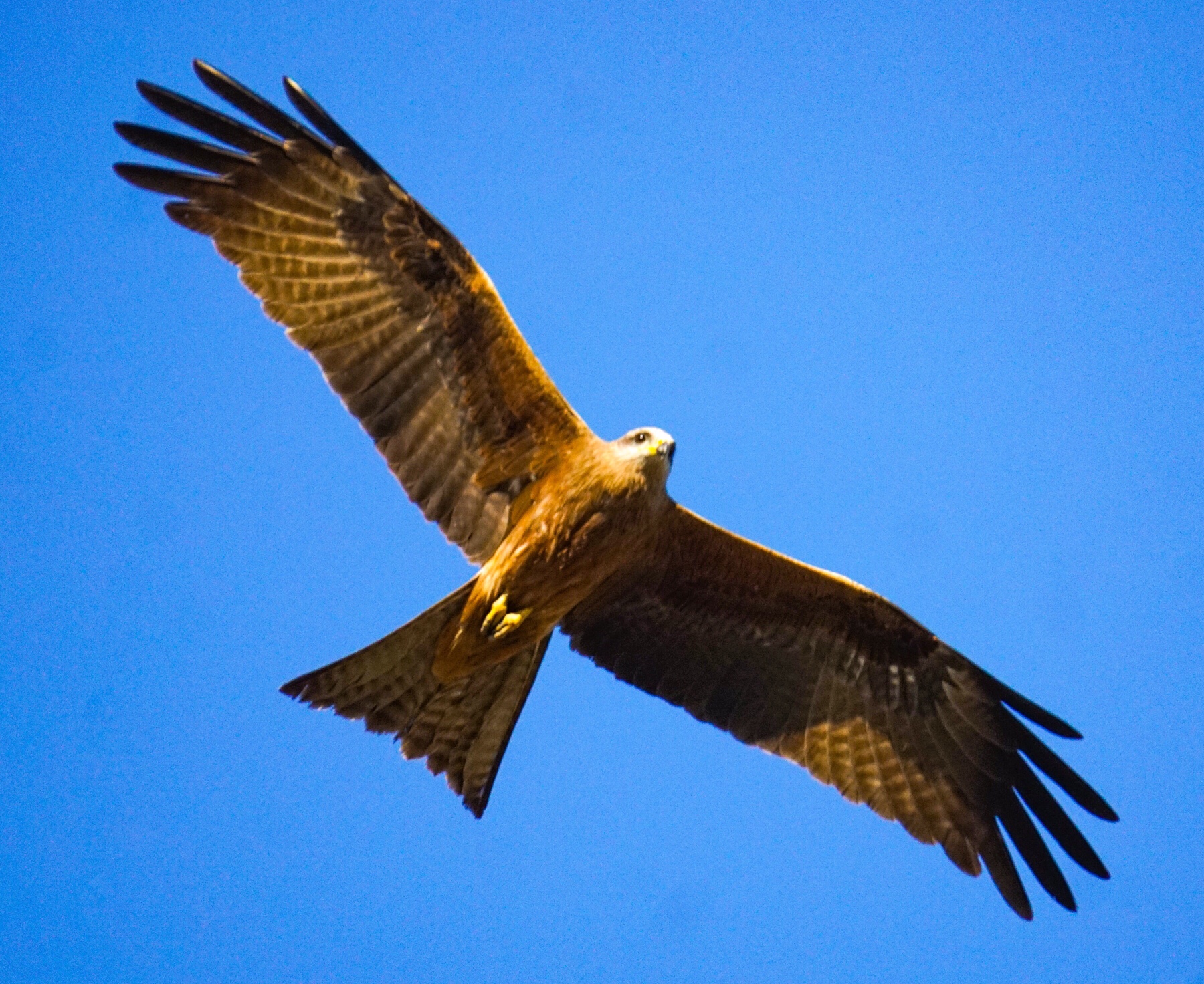 Mr A had more funeral arrangements to make and accomodation to book in the UK…I dread to see what our mobile phone bill will be this month after all these calls! This is a beautiful change of scenery for us though, and we think we’ll enjoy our stay here.
 Undara is Aboriginal for ‘long way’, and is the name given to Undara Volcanic National Park when it was established in 1993. It’s interesting they chose to give it an Aboriginal name, since there is no evidence of any Aboriginal habitation, visitation or use in the direct vicinity. Still, I’m pleased there some nod of acknowledgement to the traditional custodians of this land, who suffered great losses at the hands of the original settlers.
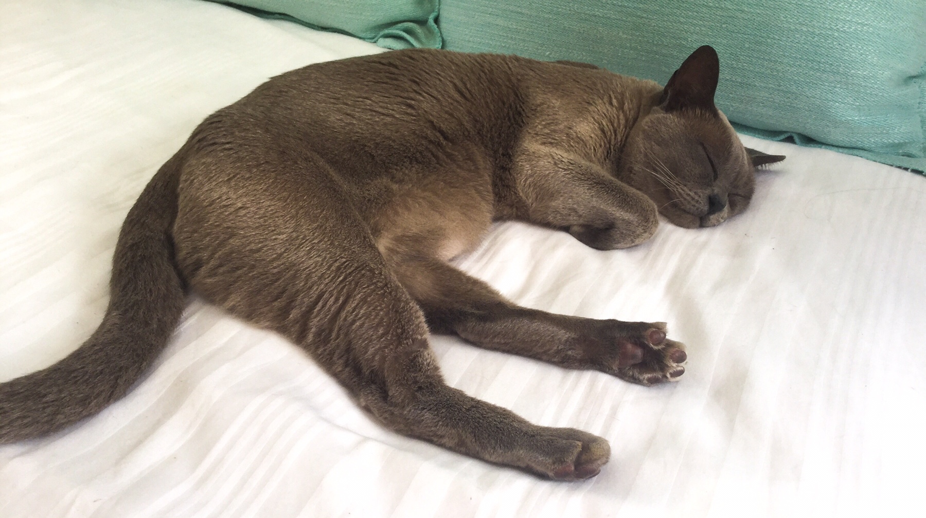 The sun soon came out and the dry landscape lit up with the coppery tones of the iron filled granite contrasting with the jet black basalt. It’s all quite different to the rich and green landscape of the past few weeks and we are really noticing the impact of the rain shadow cast by the Great Dividing Range along the coast.
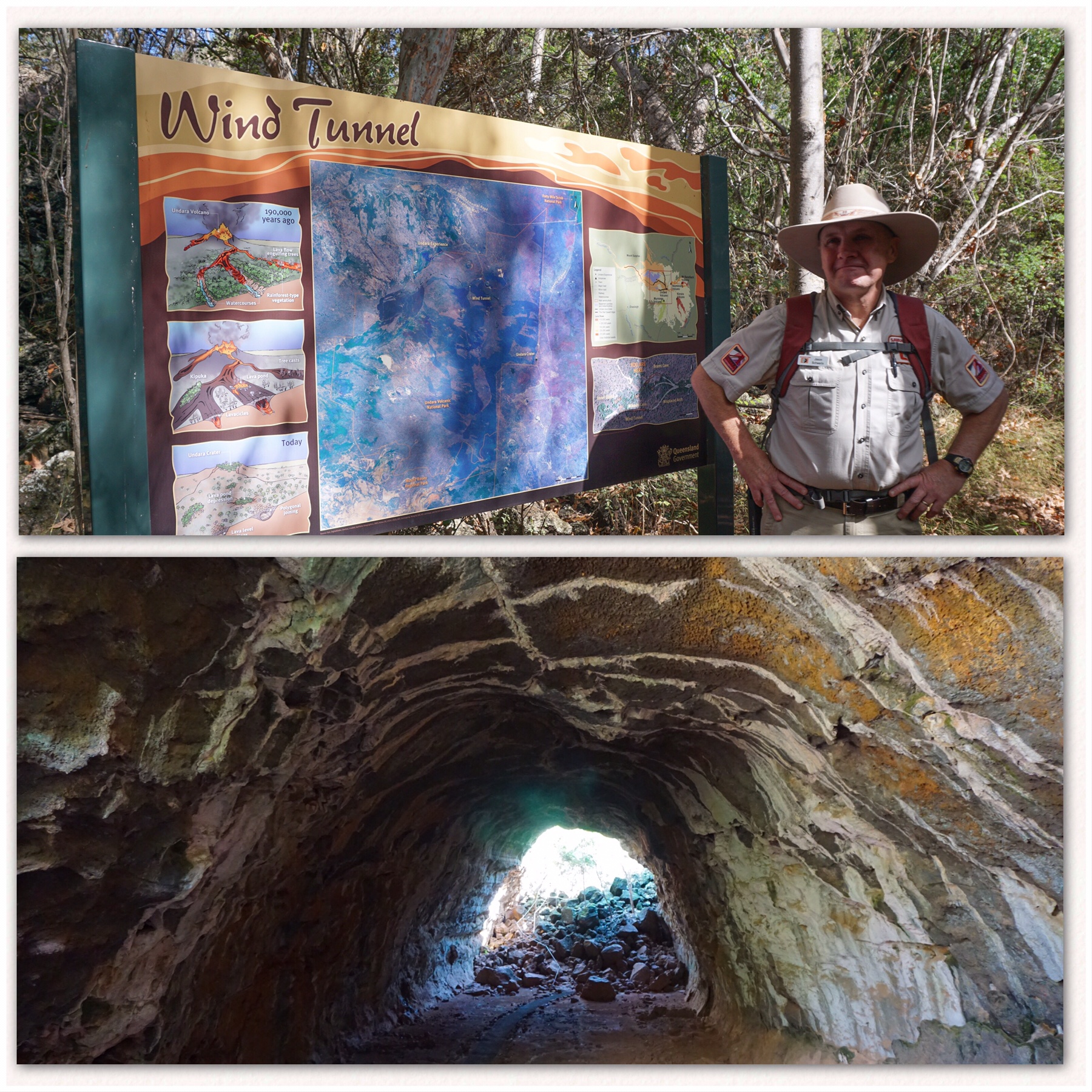 Before long, we were entering the first tube, clambering down piles of rubble left from a roof collapse. We were all too aware of the many tons of basalt over our heads, held together by little other than the compressive strength of the arch. Should the keystone break, then our travels would have ended right here.
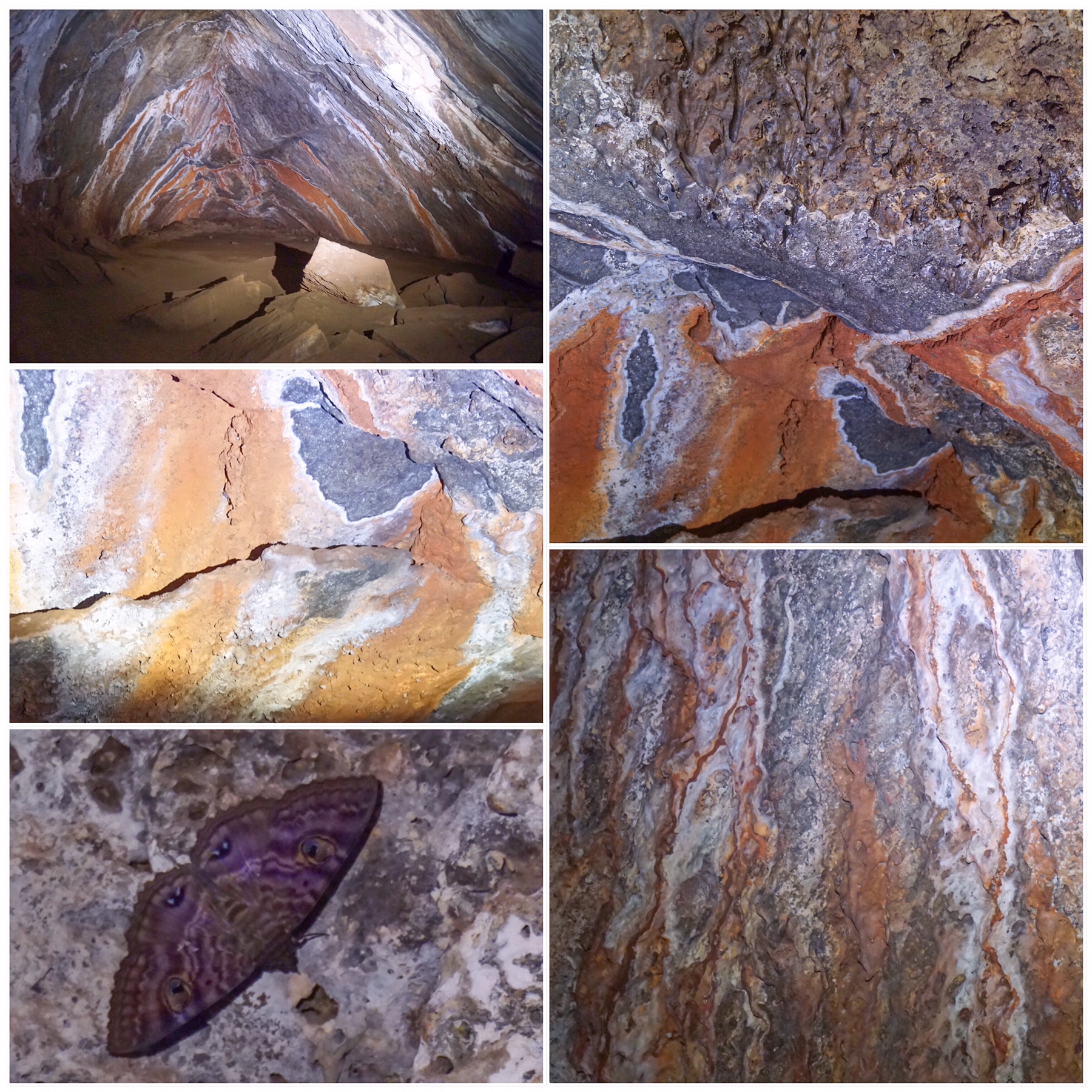 Fortunately for us, today was not that day, and we lived to explore another tunnel, this one around 1.3km in length, winding its way along an old watercourse. Bats, moths, cockroaches and cane toads are among the known (and seen) residents of these tunnels, and the colours are fabulous.
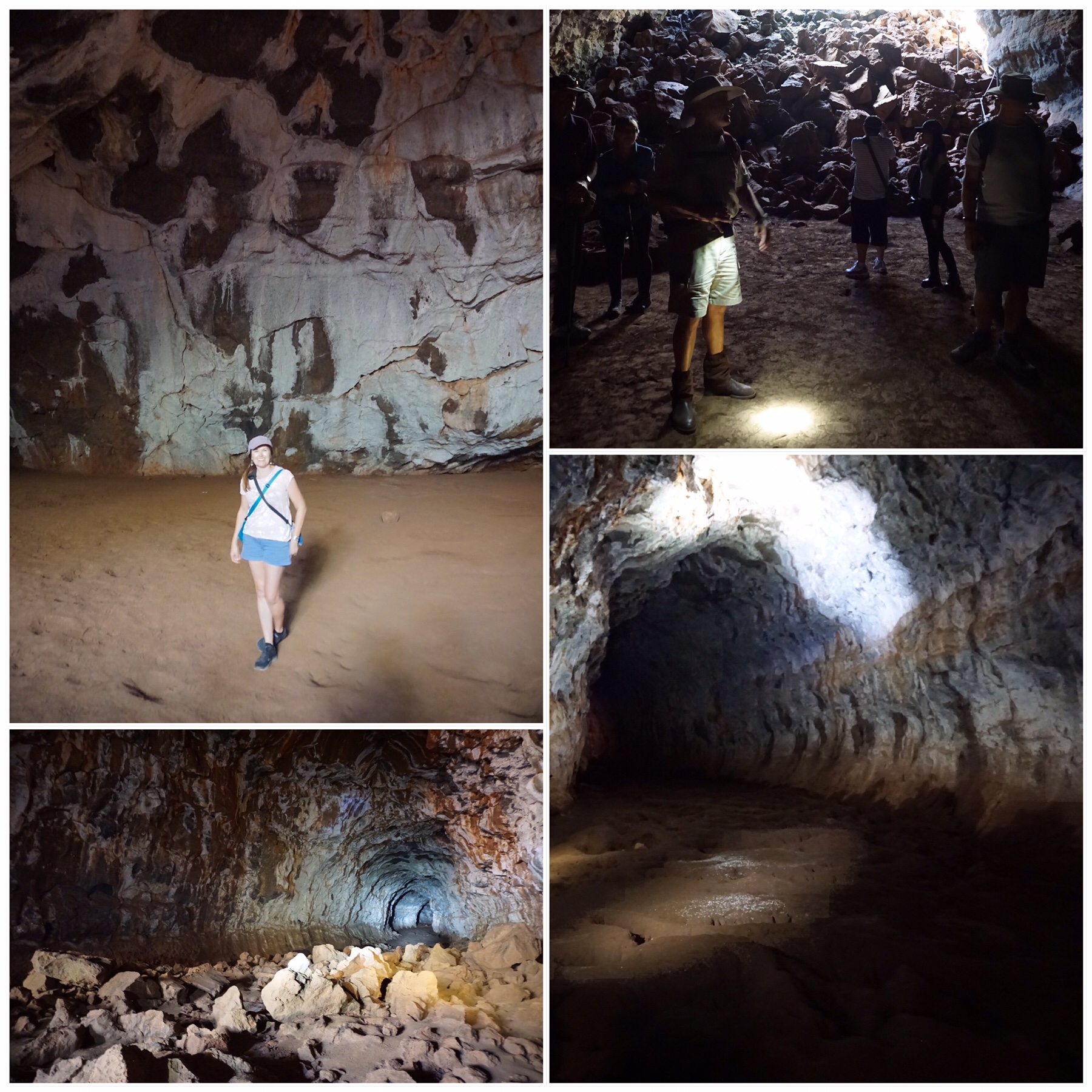 Memories of my Uni Geography degree came back in troves, with images from text books flashing through my head, not revisited for more than 25 years! We both really enjoyed the visit – yes, it was pricey at nearly $60 a head for two hours, but we felt well educated at the end of it and further immersed in some of the geological history of Australia.
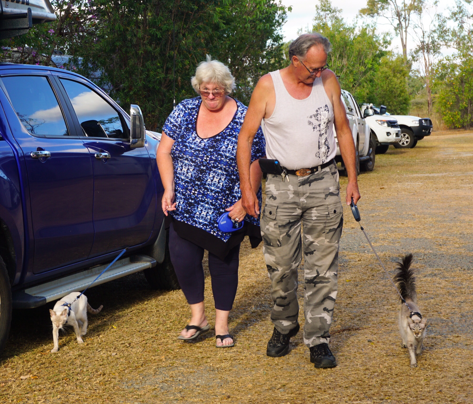
 We decided to go for a stroll and what did we see? None other than a couple of handsome male cats on leads exploring. See folks – it’s not just us!
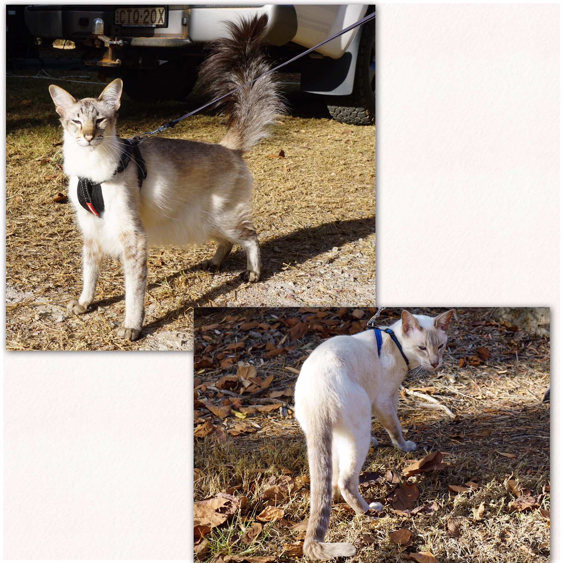
 We continued our walk as the sun lowered in the sky, spotting birds and just enjoying the feeling of sun on our skin. As nostalgic as the rain and drizzle has made us feel, we really do appreciate the warmer weather!
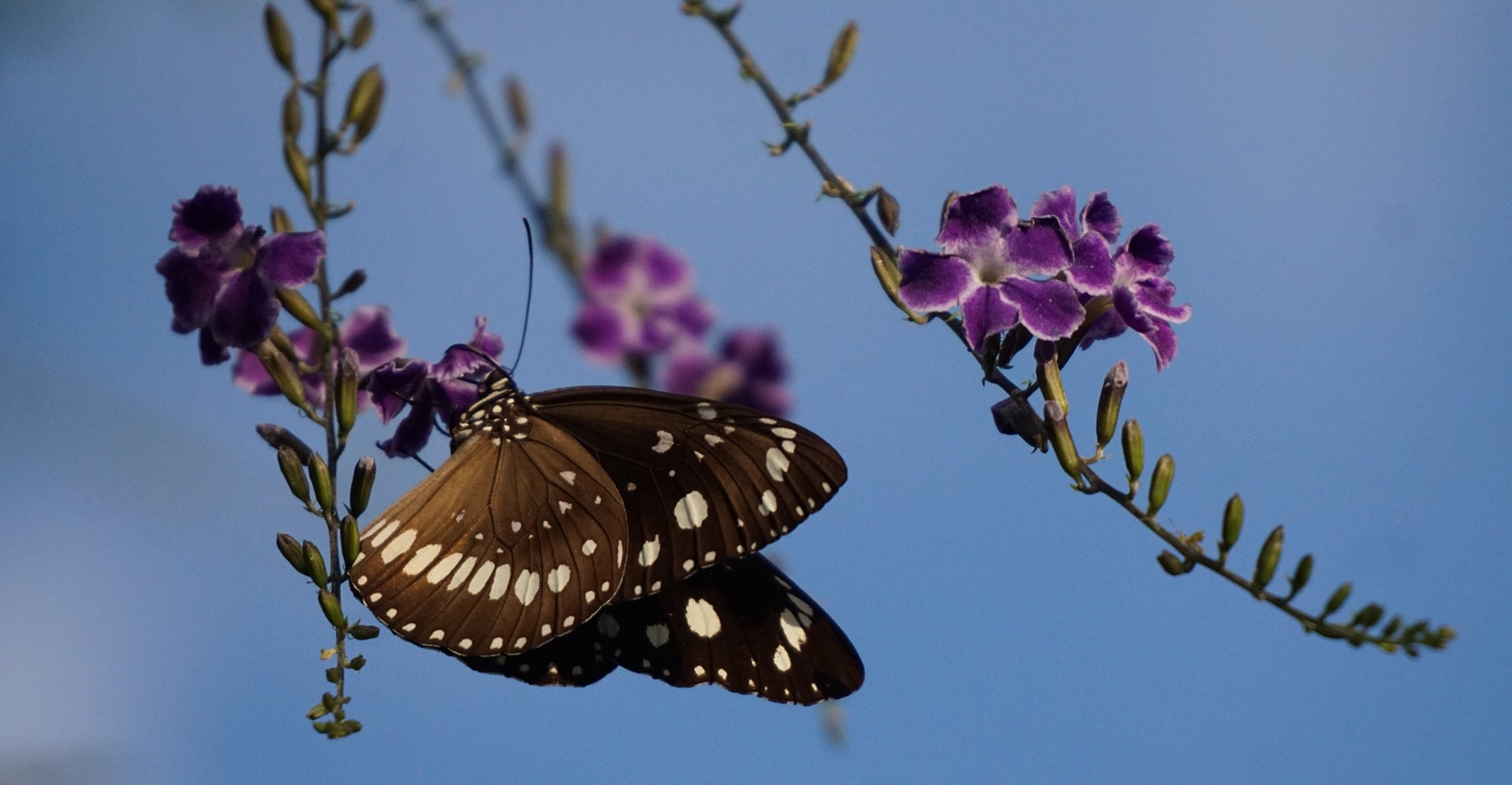 Common Crow Butterflies, red winged parrots, whistling kites – there’s plenty of wildlife to be seen here, and topped our day off nicely.
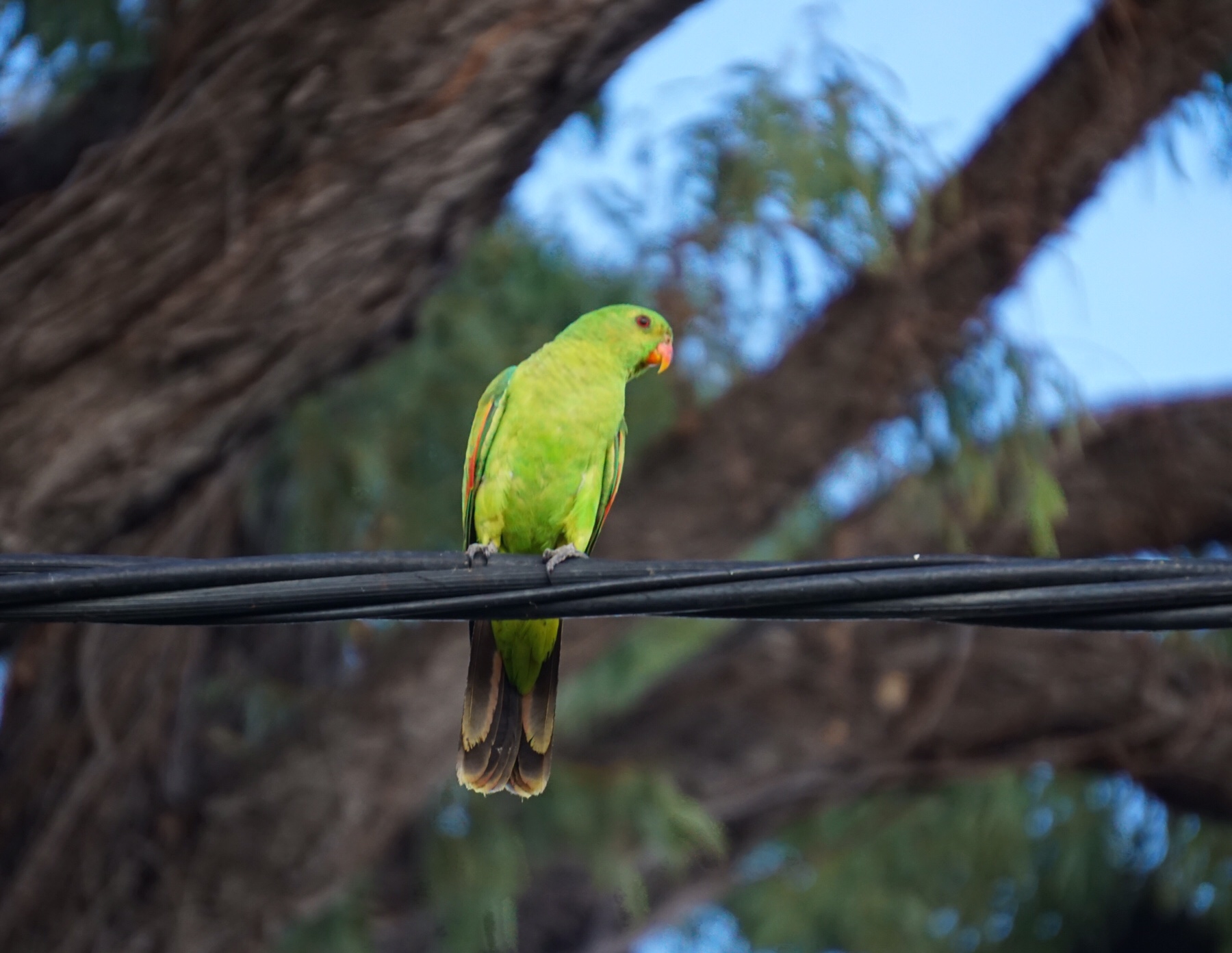
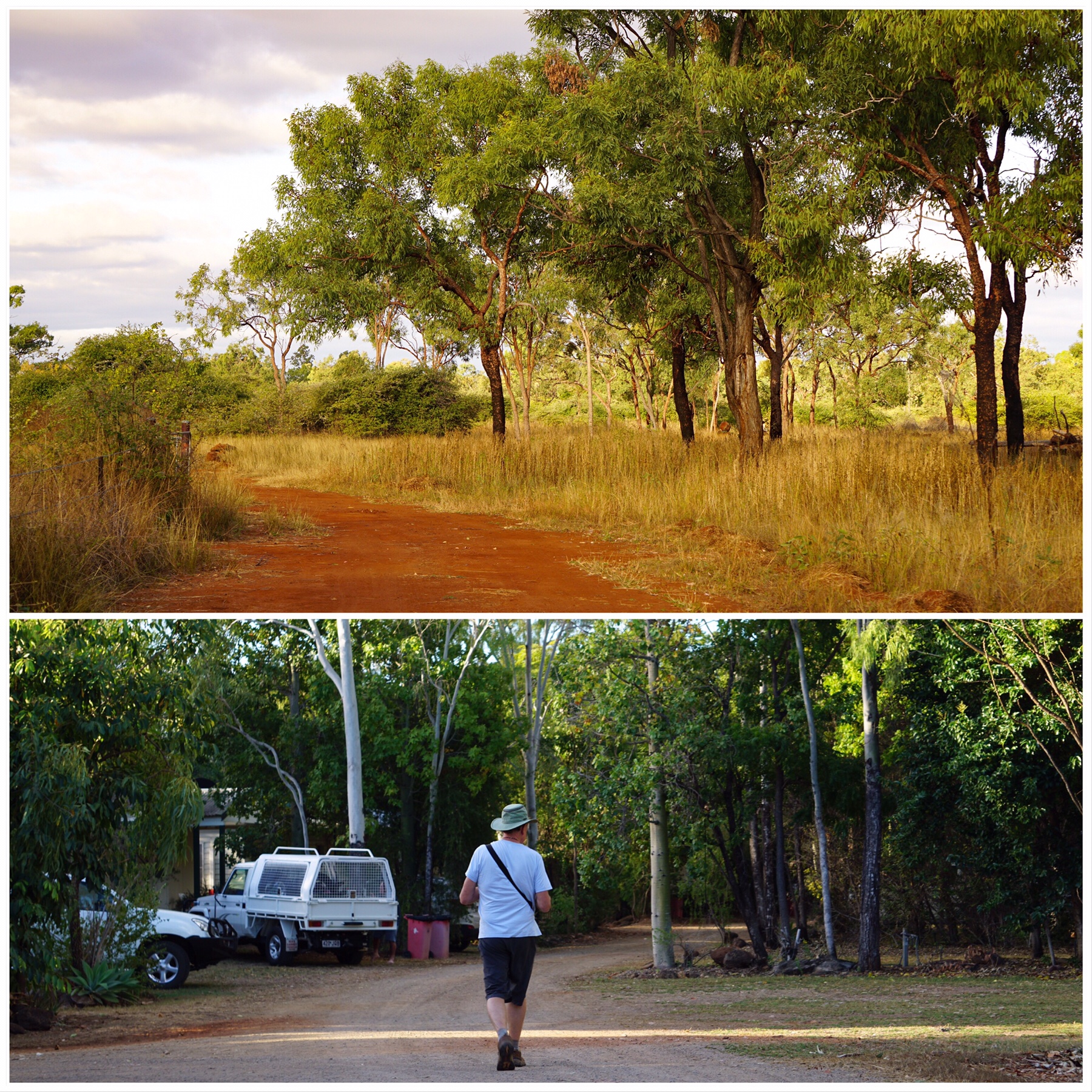 Where are we on our Savannah Way journey? Just a short way along, but a world of difference from Cairns. Off to a new destination tomorrow and a whole lot more red dust!
 The Savannah Way
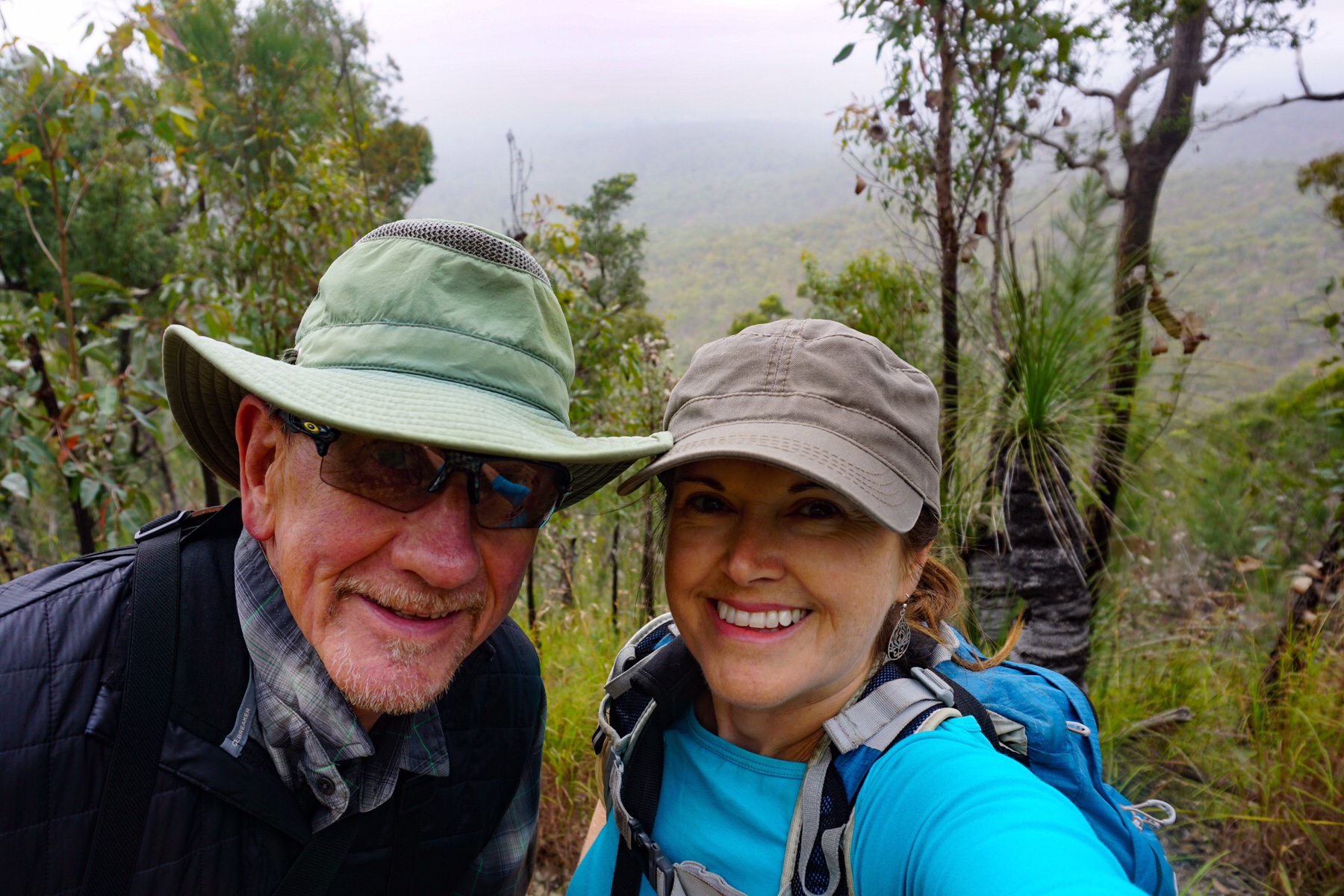 If only the clouds had lifted, which they did when we had finished, it would have been great views across the range.
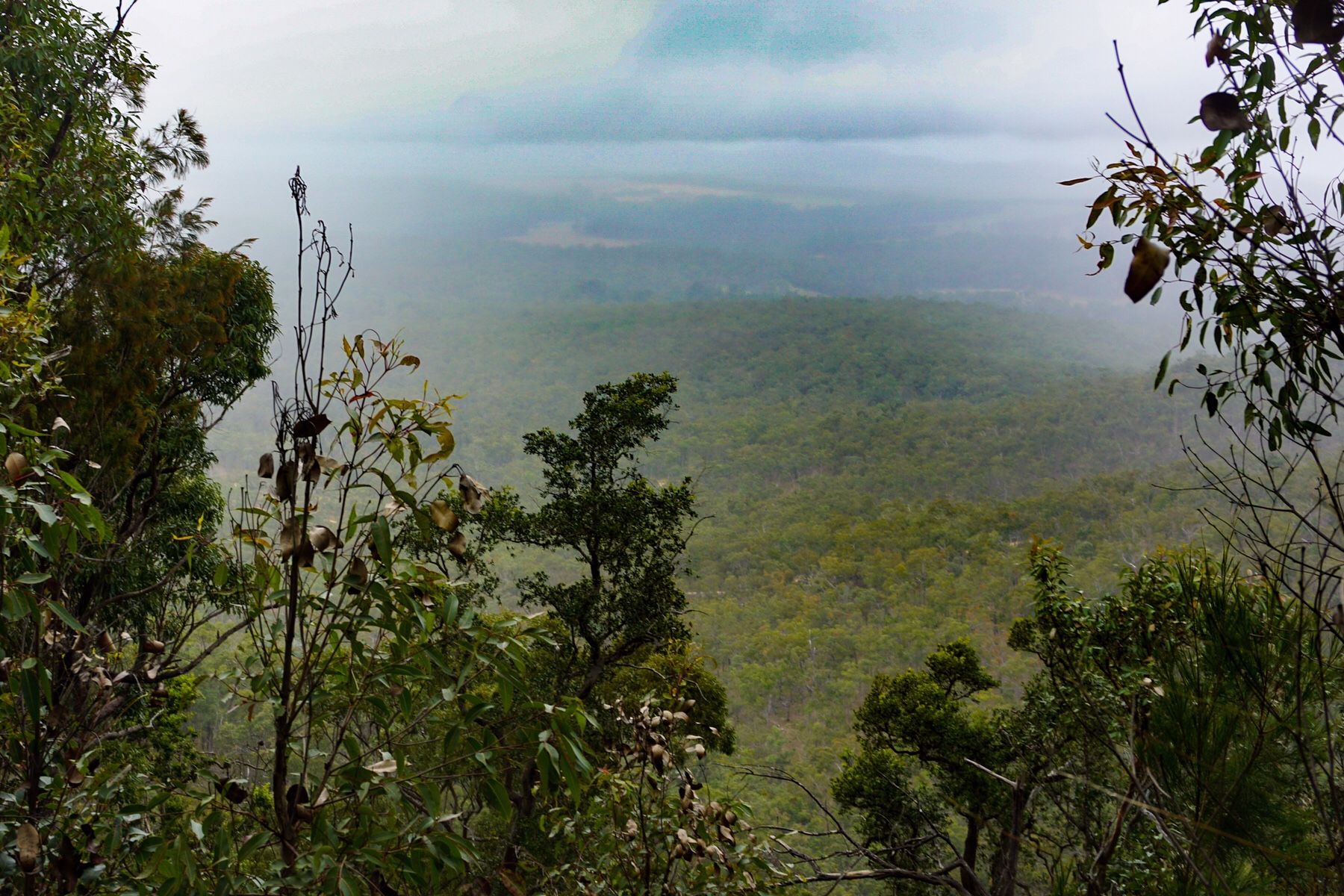
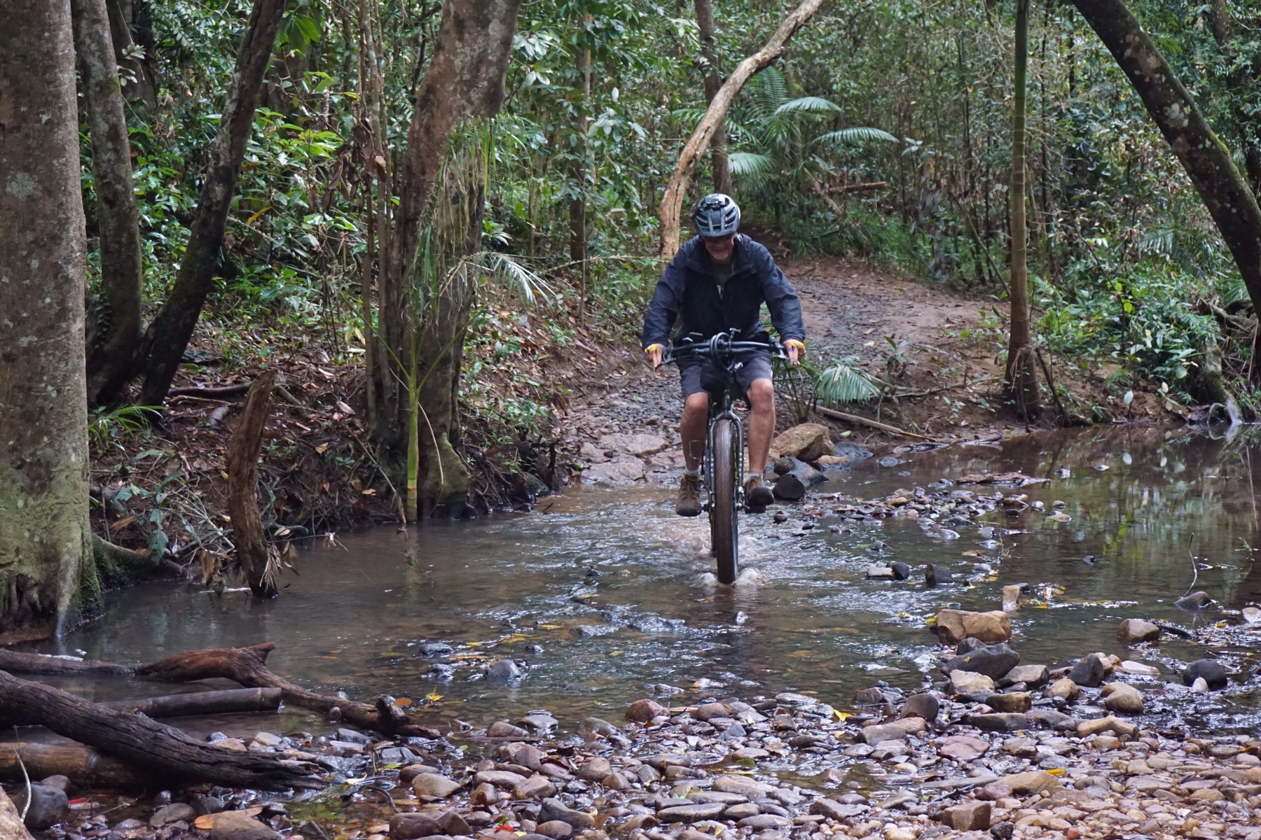
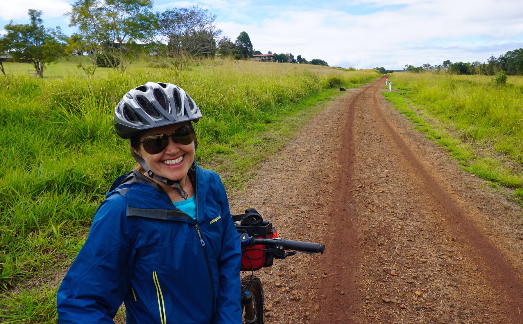 It was actually a great ride initially through a countryside of rolling hills, then we headed round a loop on some tarmac and back to base via a series of local mountain bike trails through the rainforest, ticking off just over 35km.
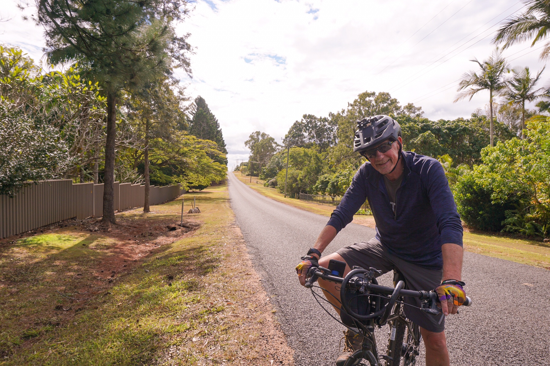
 A curry was called for after all that exertion, so our fellow Zoner Ken drove us into Atherton and we we finished our stay here with a great feed. We have really enjoyed the tablelands, apart from the weather, but tomorrow its time to head back down to the coast.
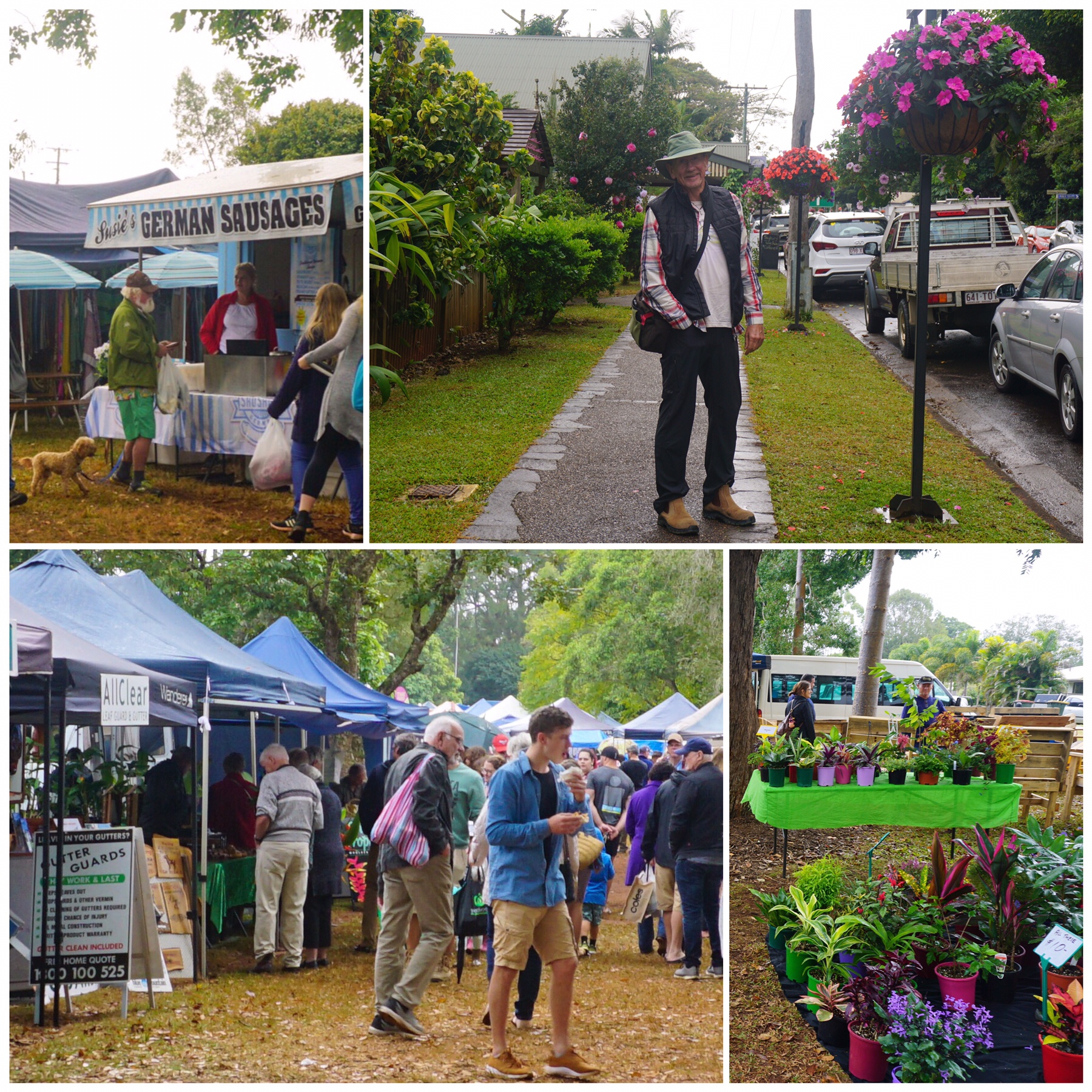 The market was great too. Alongside the stalls of fresh-from-the-farm vegetables and herbs were bakers, jewellers, artists (including musicians, painters, woodworkers, ceramic workers and potters), massage therapists, plants of all varieties, flowers and even fertilised eggs, chicks and chickens for sale. It all felt very authentically country.
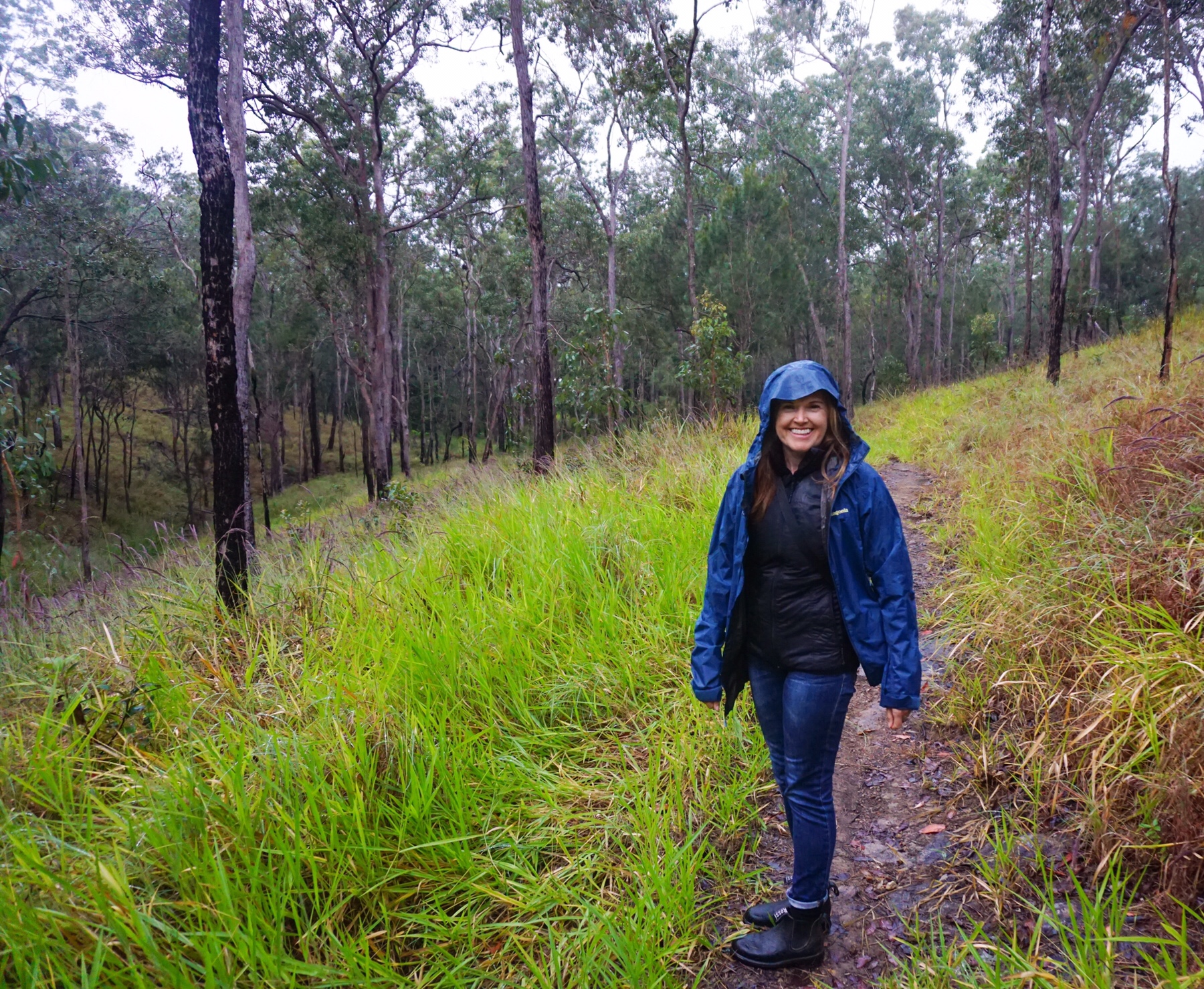
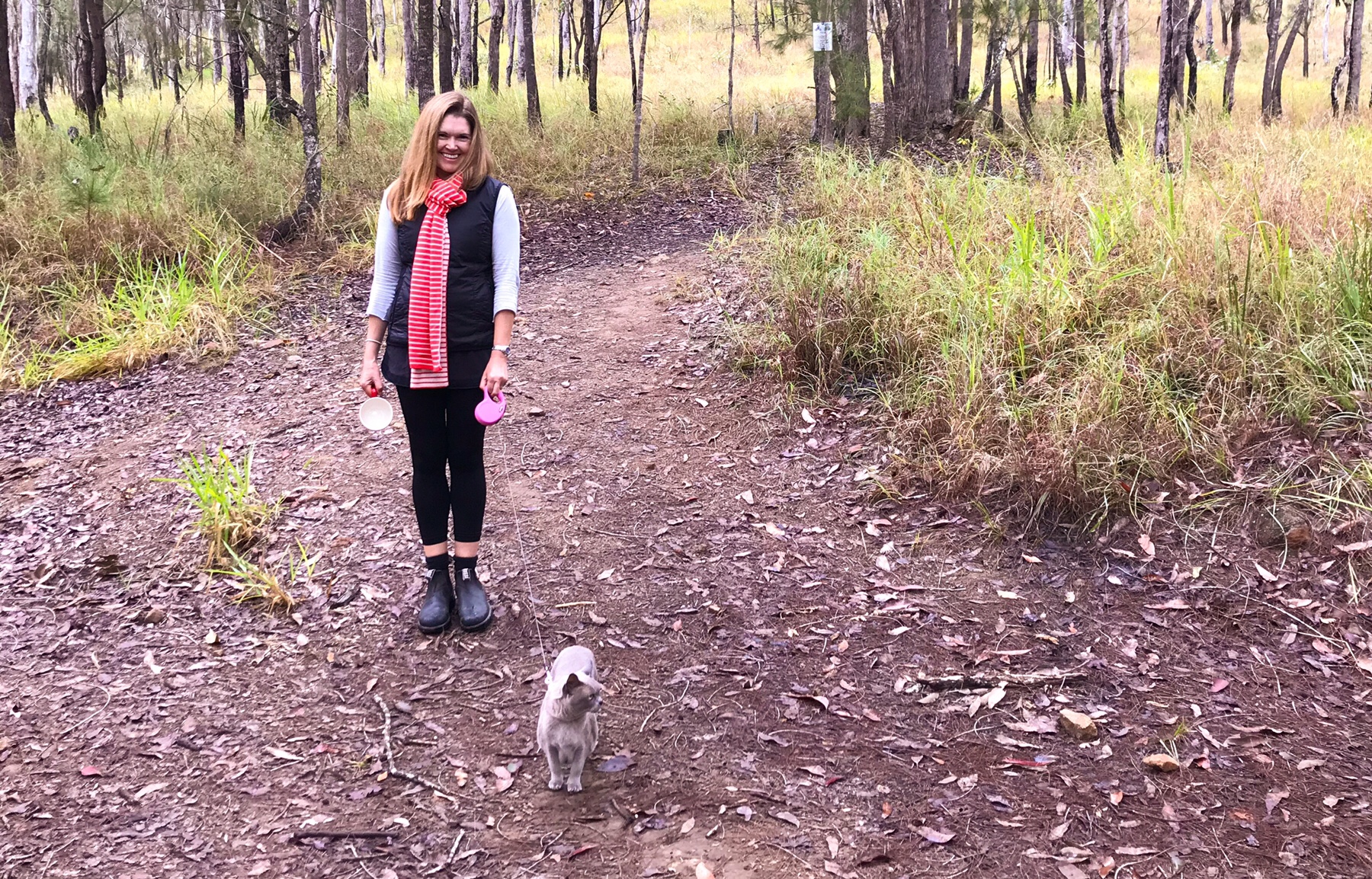 Again, we didn’t get too far before Tassie decided it was time to return to the Zone. She always amazes me with her courage – as a 14 year old predominantly indoor/garden cat, she had not really travelled much before last September, but now she’s been right across Australia. She always knows where the safe Zone is, and keeps her wits about her, even when being dive bombed by birds…they don’t seem to understand she’s a lover not a catcher!
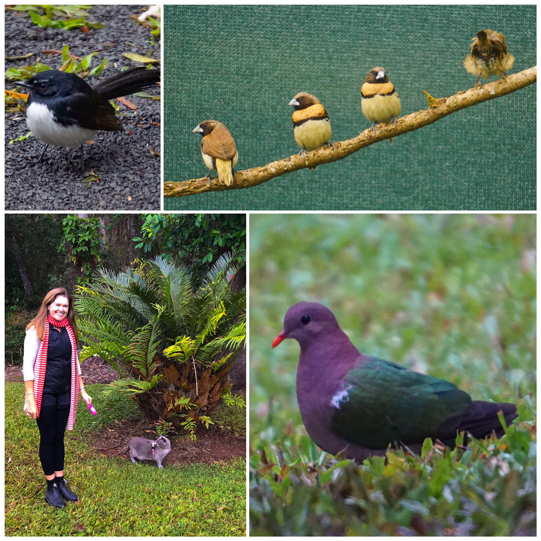 There are plenty of birds here. We have spotted pale yellow robins, firetails, finches galore, and lovely purple and green fruit doves feeding on the mandarins on and below the tree beside where we are camped. The little black and white Willy Wagtail is the feisty one, always flying at Tassie and frightening her back indoors. I guess he’s met some hungrier cats in his lifetime.
 Soon the cheese was calling, and off we went to the farm where Mr A tried some cheese and purchased a delicious (according to him) blue.
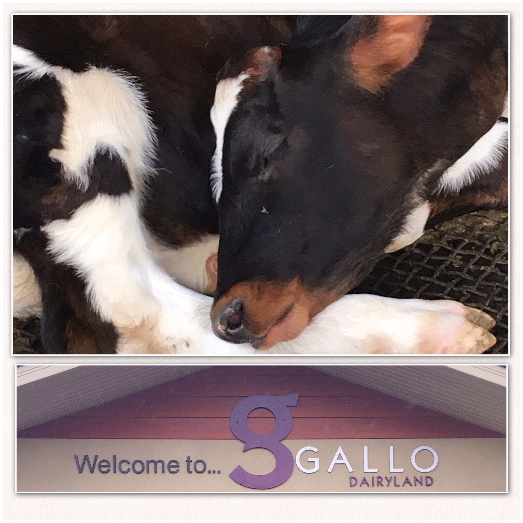 From here we drove a short way to another little national park – home to the Curtain Fig. This tree is a survivor in a small patch of remaining rainforest which was saved from the saw in the 1800s by the rocky surface, not ideal for grazing.
 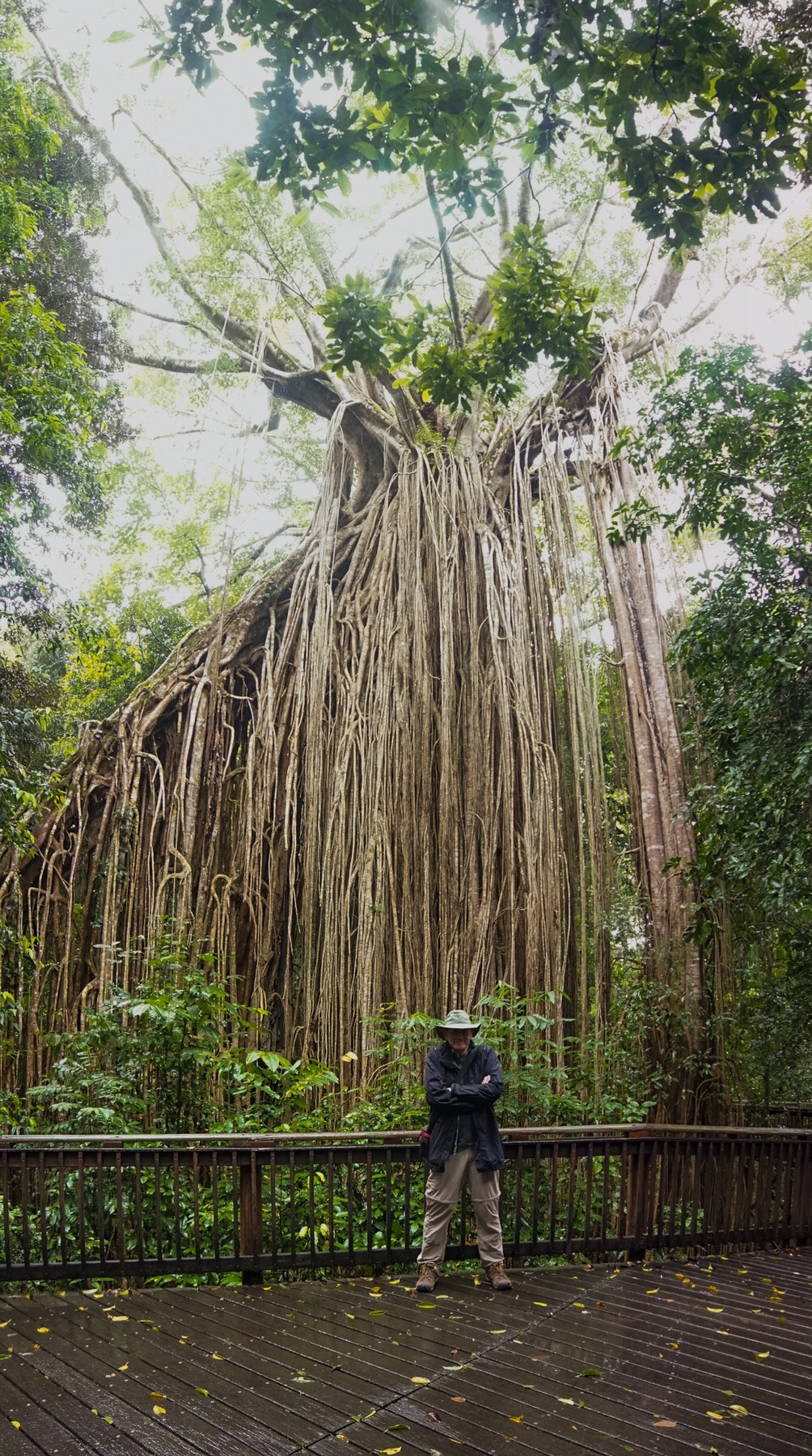 It is protected by a raised boardwalk, and pretty magnificent.