Author: Mrs A
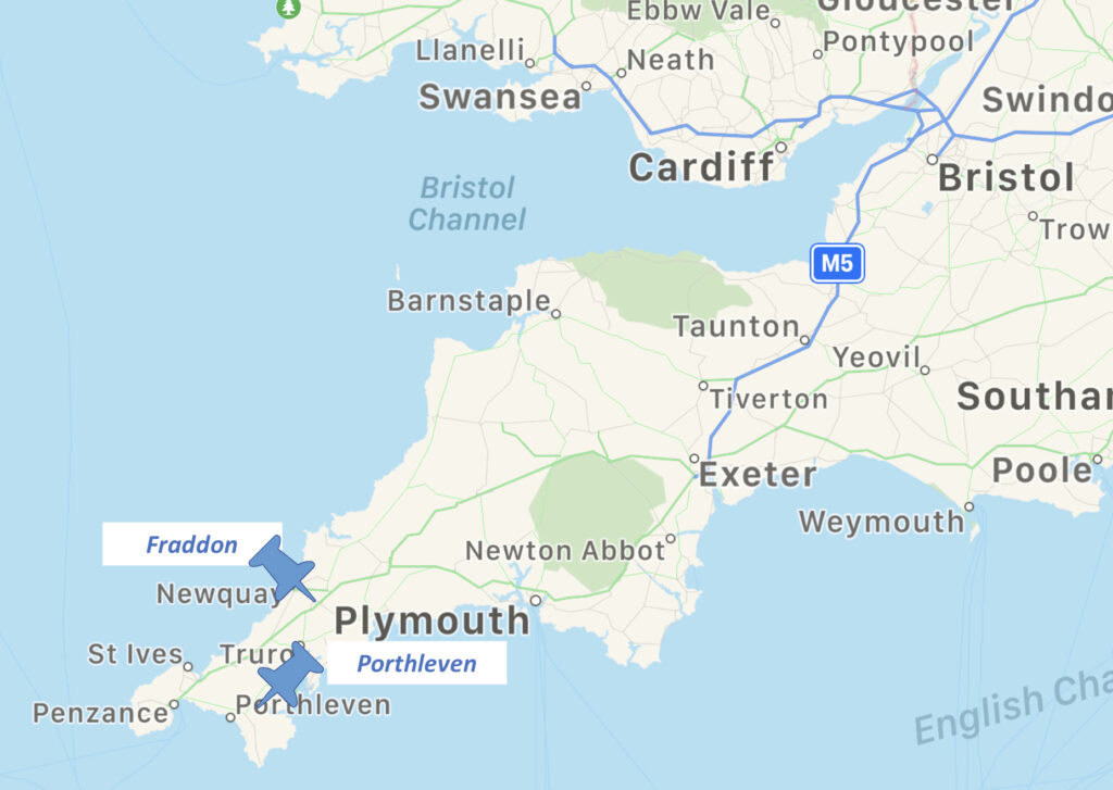
Location: Portsmouth, Hampshire, Honiton, Devon and London, UK
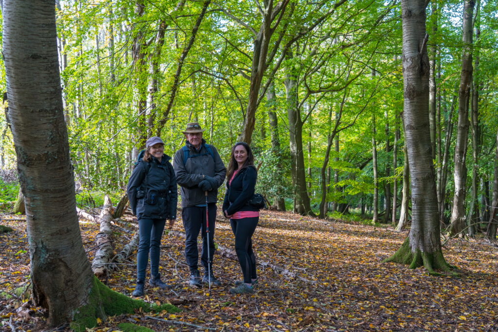
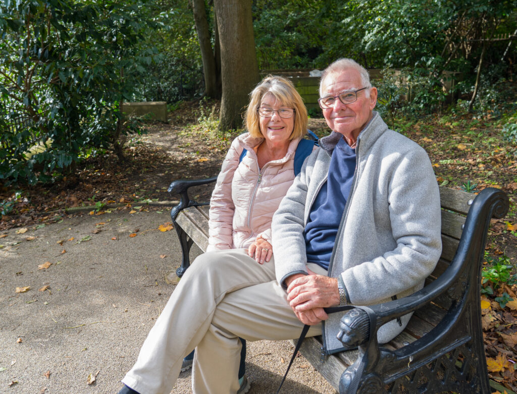
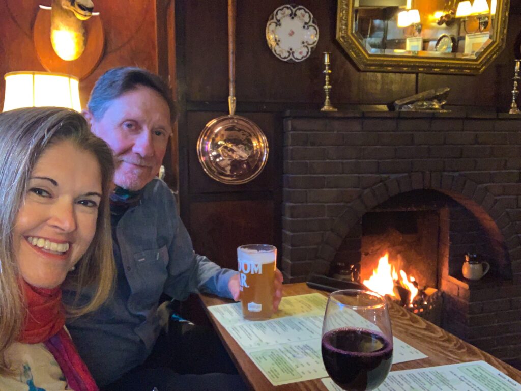
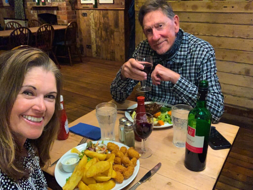
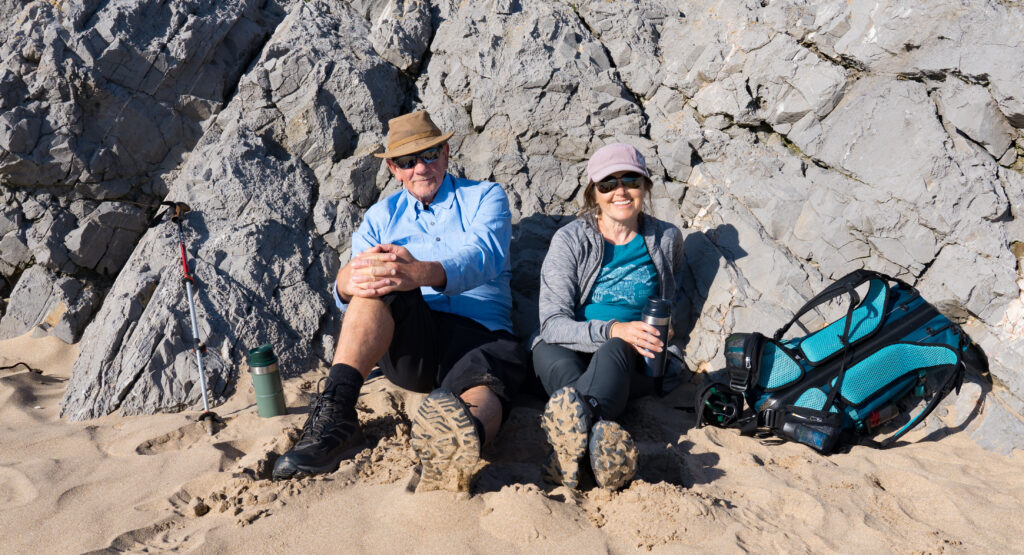
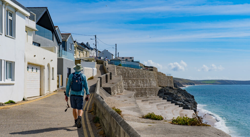
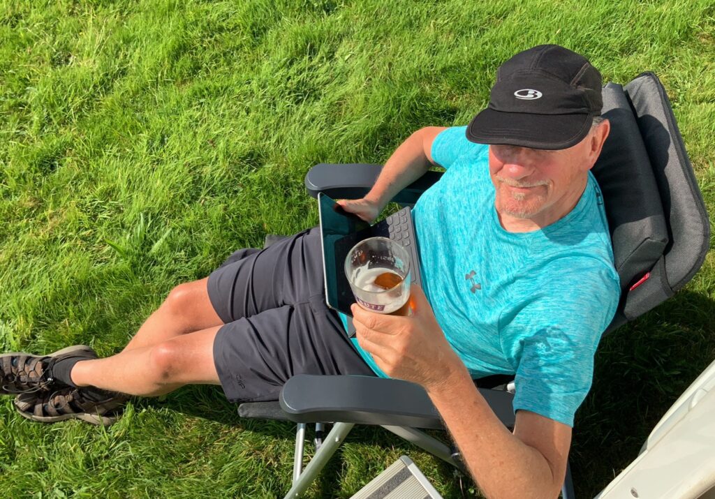
We left Brighton and made our way along the coast to Portsmouth, arriving in time to tune in our little TV and listen to Boris’s Saturday afternoon address of the nation. Except the 4pm address was delayed to 5pm….then the 5pm to 6pm….and the 6pm to…who knows when, because by then we were sipping our first gin and tonics with my sister Elle and brother in law John! They prepared a delicious spaghetti bolognaise and which we enjoyed with the usual sprinkling of funny stories, laughter and some rather delicious red wine.
After dinner we heard confirmation of the announcement – the UK is to go into a countrywide ‘circuit-breaker’ lockdown as of Thursday the 5th November. All non-essential shops are to close, and foreign travel is banned. Thankfully the Australian Embassy in London countered that to confirm that the repatriation flight we’re on is still going to leave on Saturday, and that we are exempt from that rule.
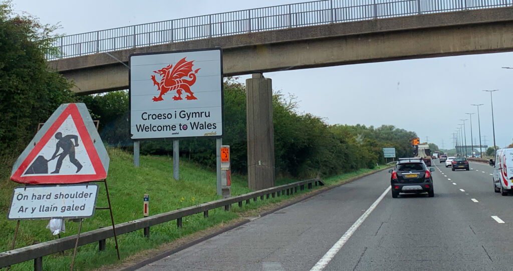
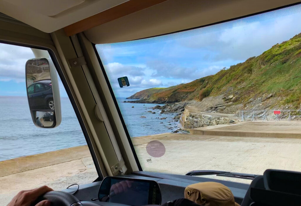
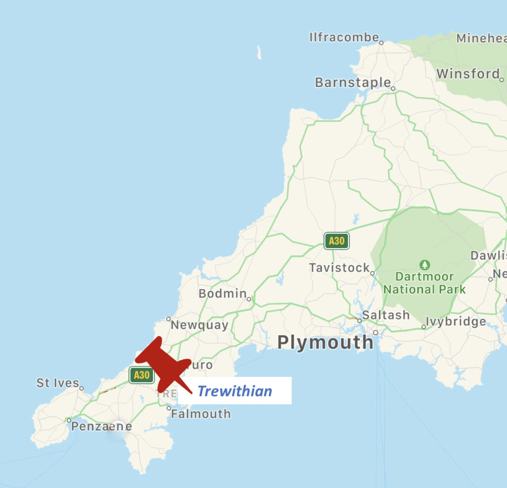
All too soon it was Sunday morning and we said farewell, pointing Truffy’s nose westwards to a campsite just outside Honiton in Devon.
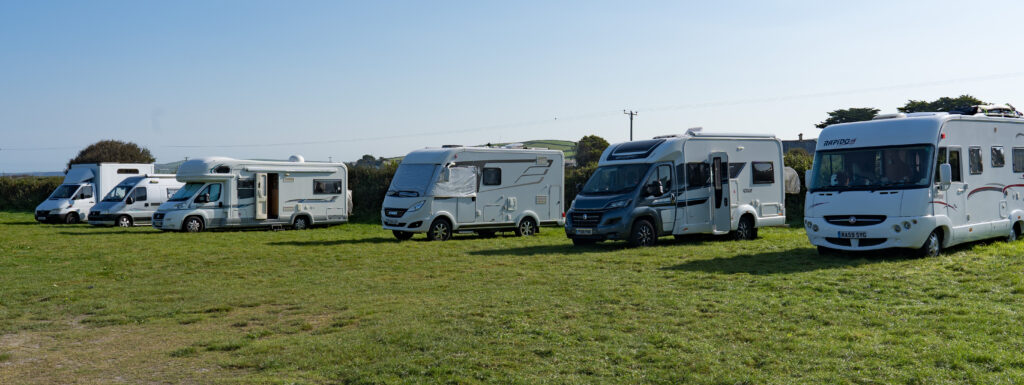
It was our final chance to use the services, clean out the toilet thoroughly and basically get Truffy ready for storage.
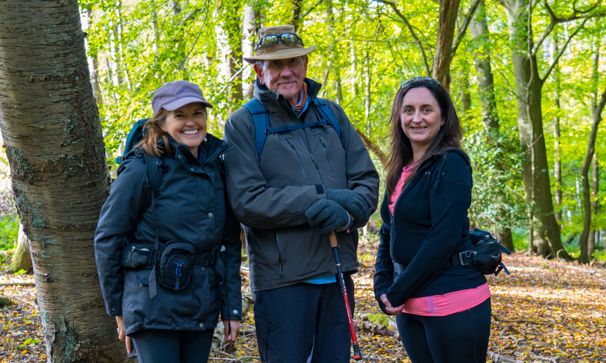
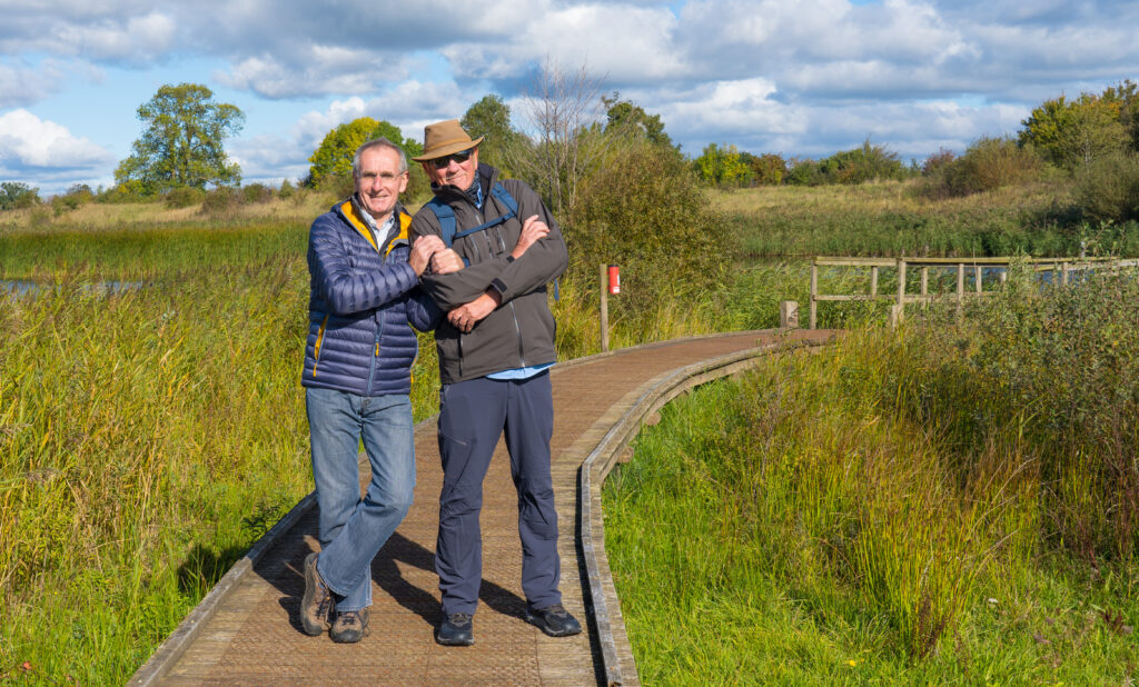
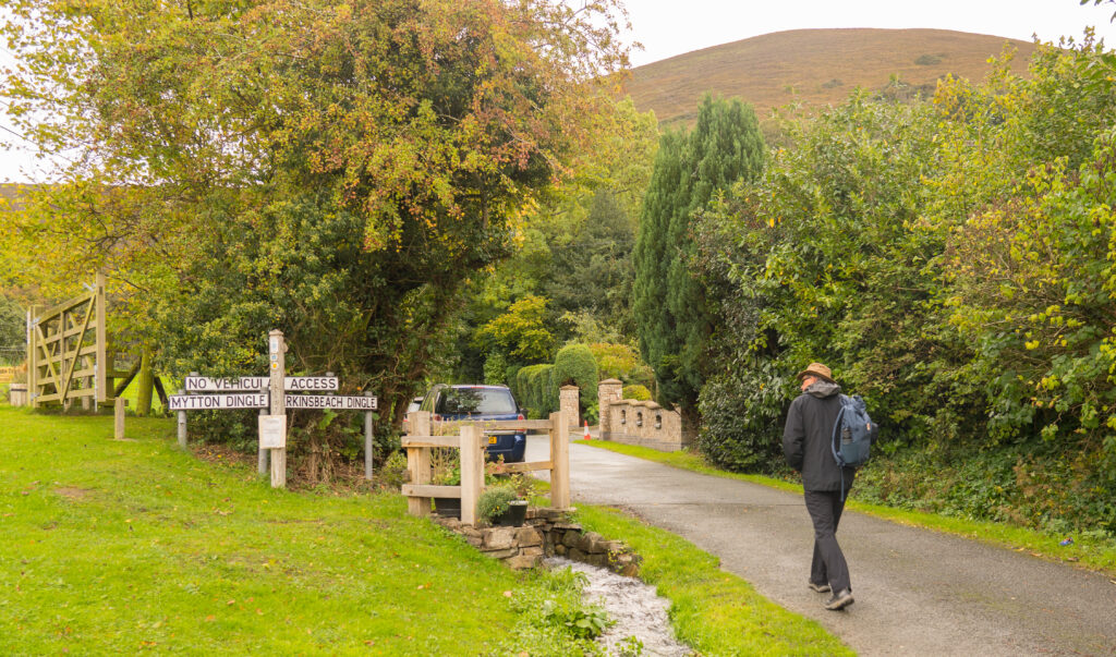
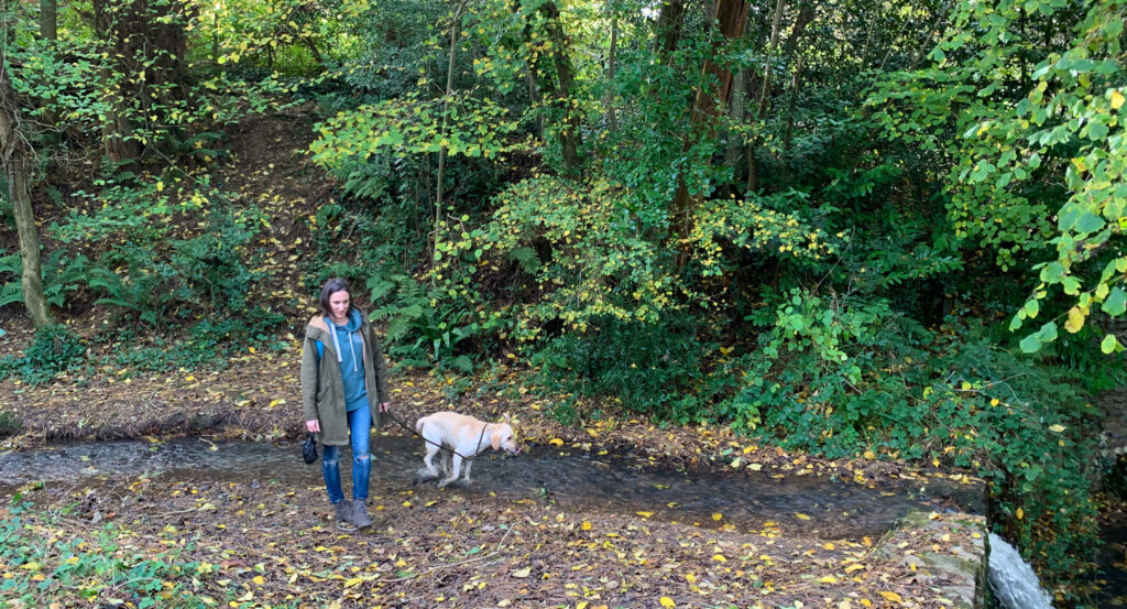
On Monday we were welcomed to our friends’ Karen and Dan house, where we tackled the final washing requirements and they were very conveniently having a new part of their loft boarded…just in time for us to avail ourselves of a small portion of space for Truffy’s soft furnishings and a few bits and pieces we aren’t taking back to Australia. We are so grateful to these generous friends for their welcome help – conveniently located just 15 minutes drive from where we are storing our motorhome.
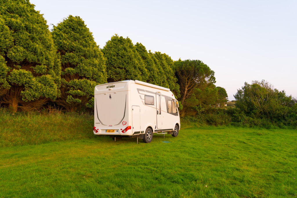
Over the next three days, we prepared Truffy for winter – draining out the tanks, blowing out all the water from the pipes, and after our last storage experience, setting up some mouse bait stations in the hope we can save some of our wiring from nibbling teeth!
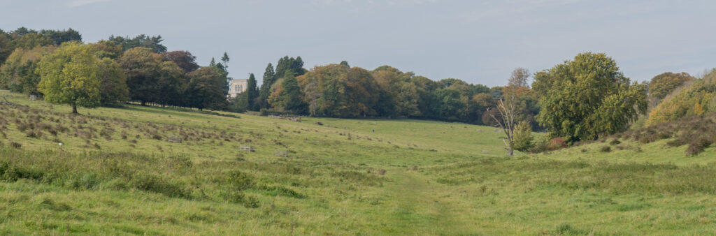
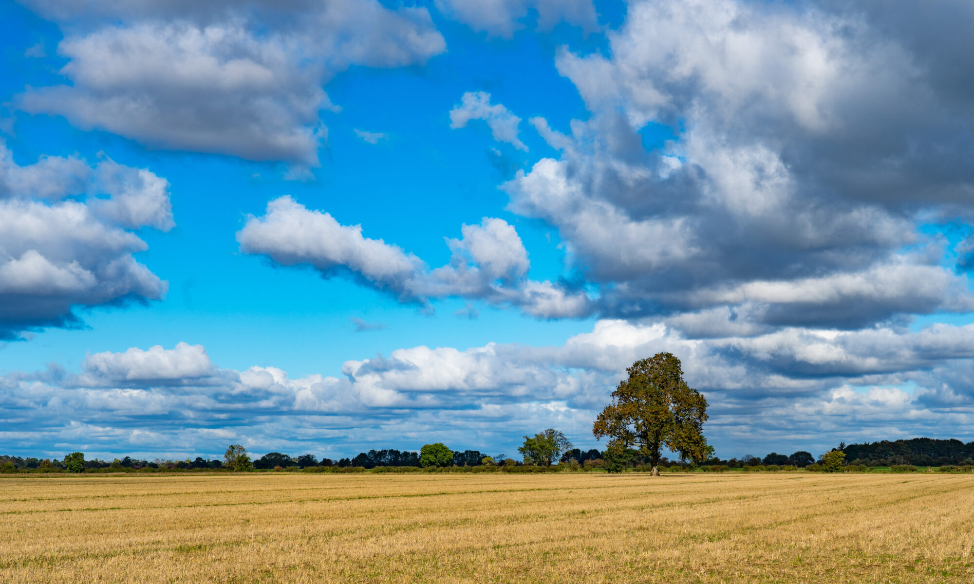
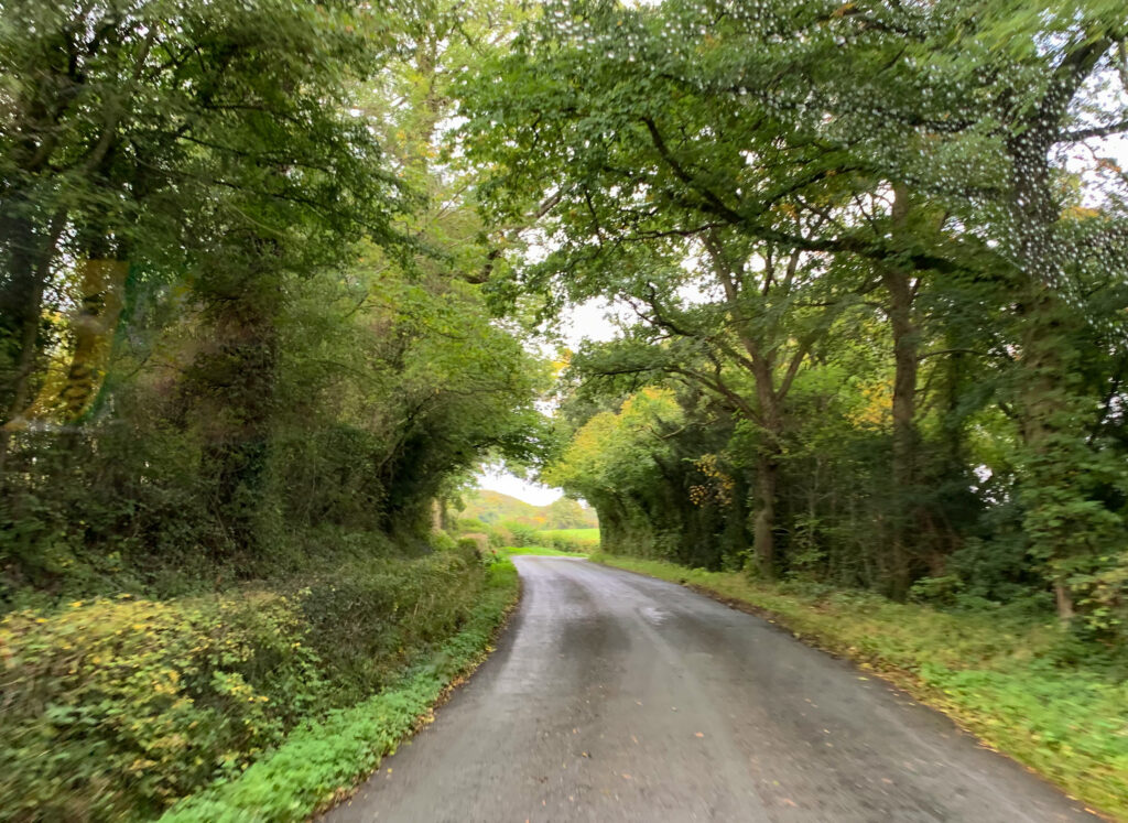
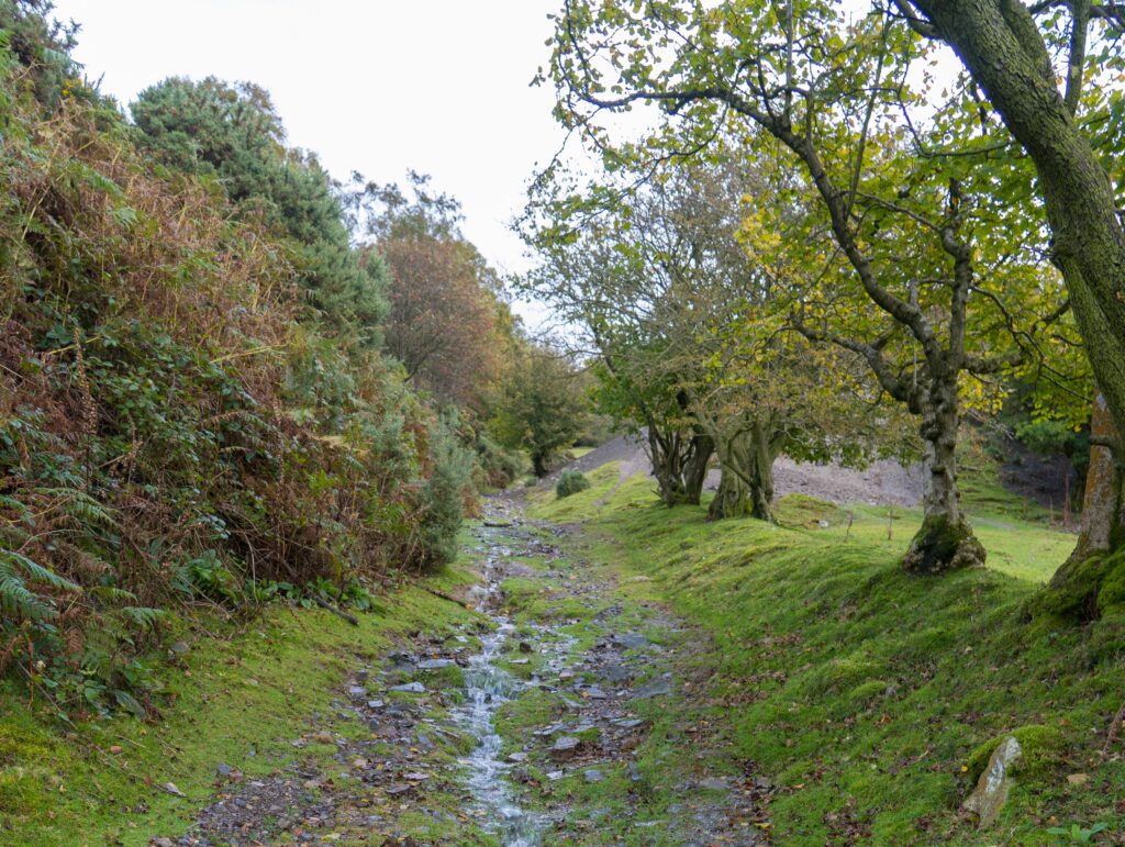
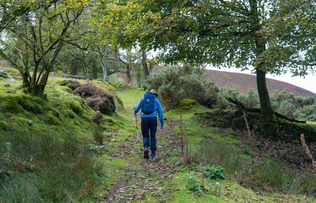
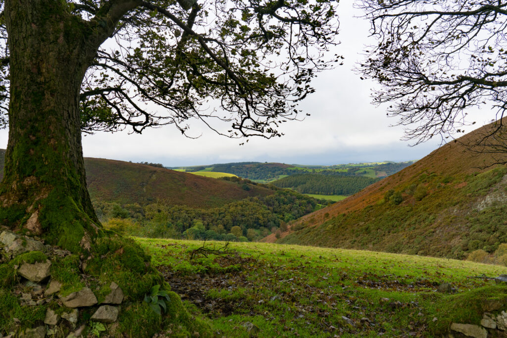
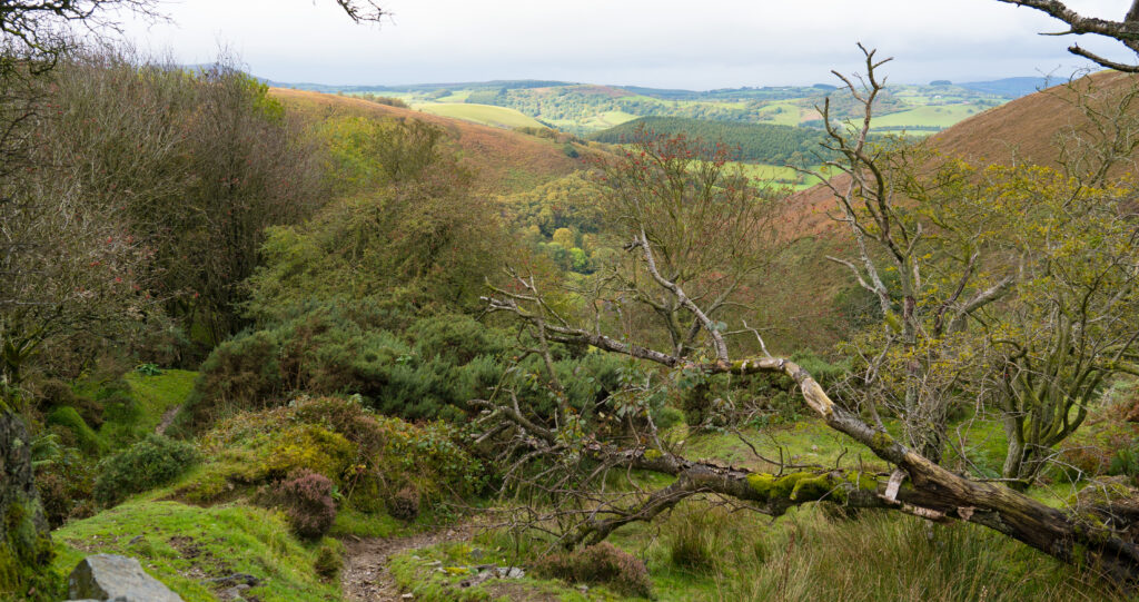
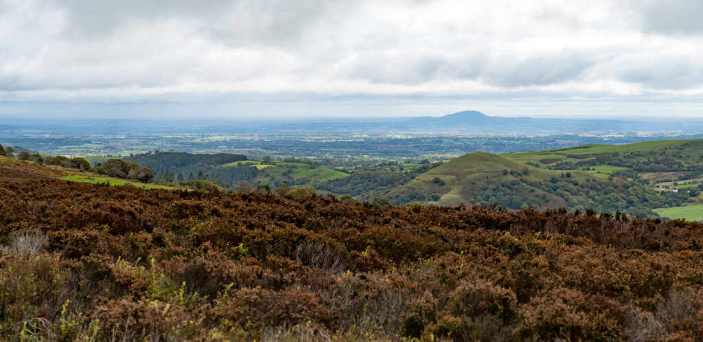
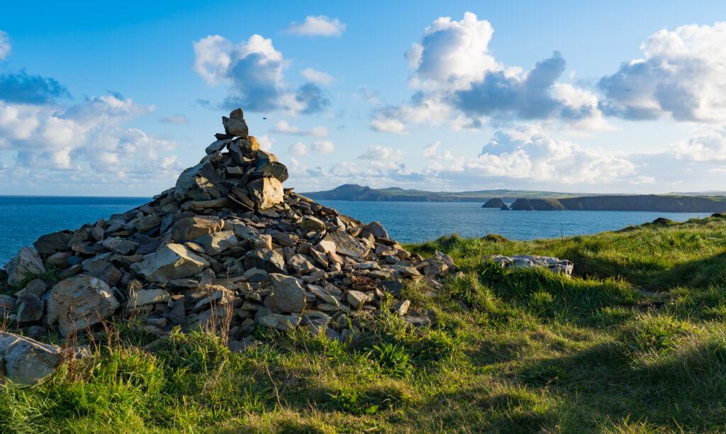
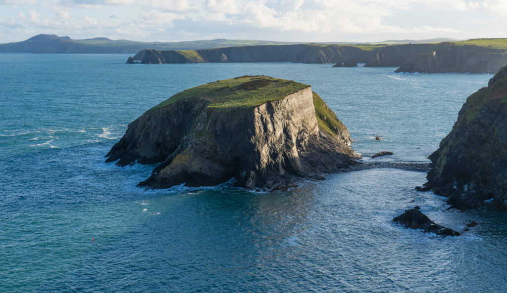
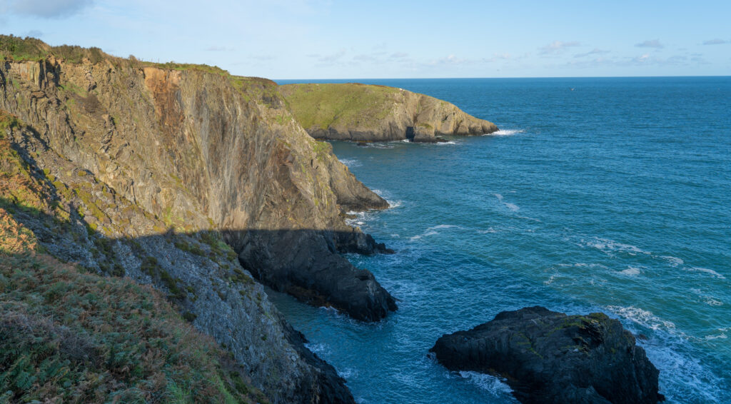
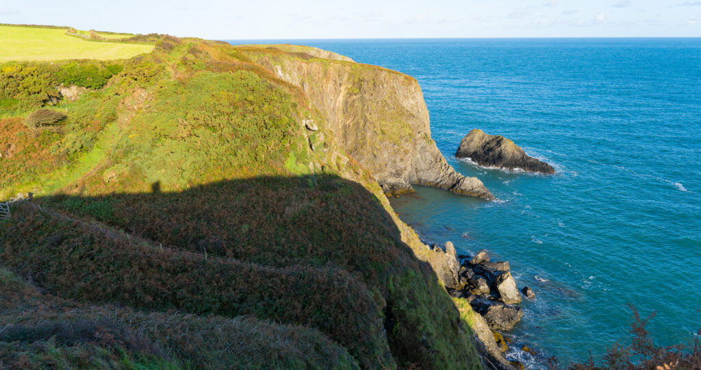
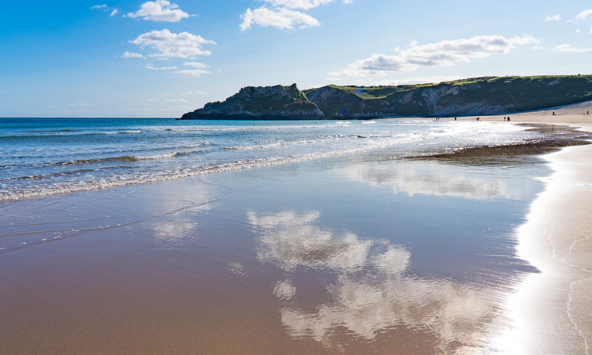
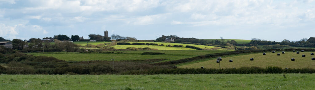
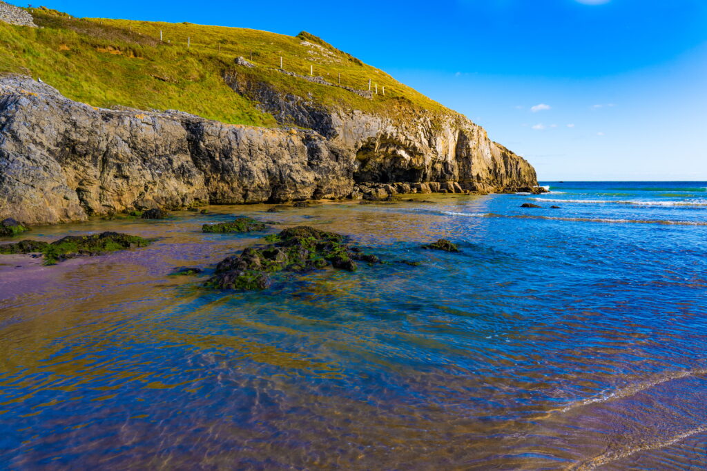
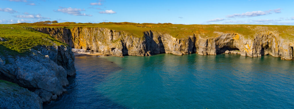
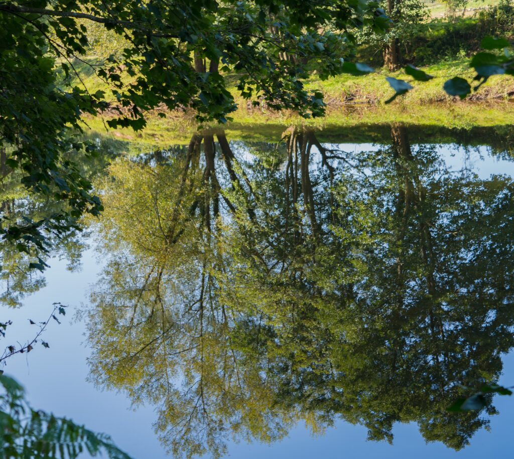
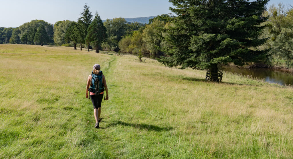
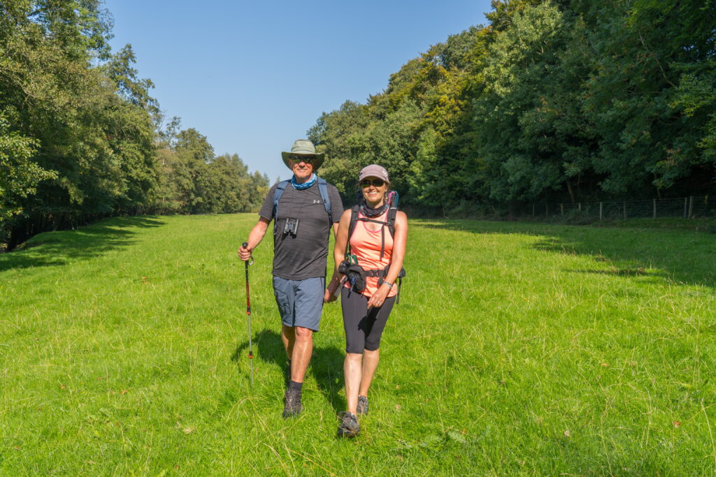
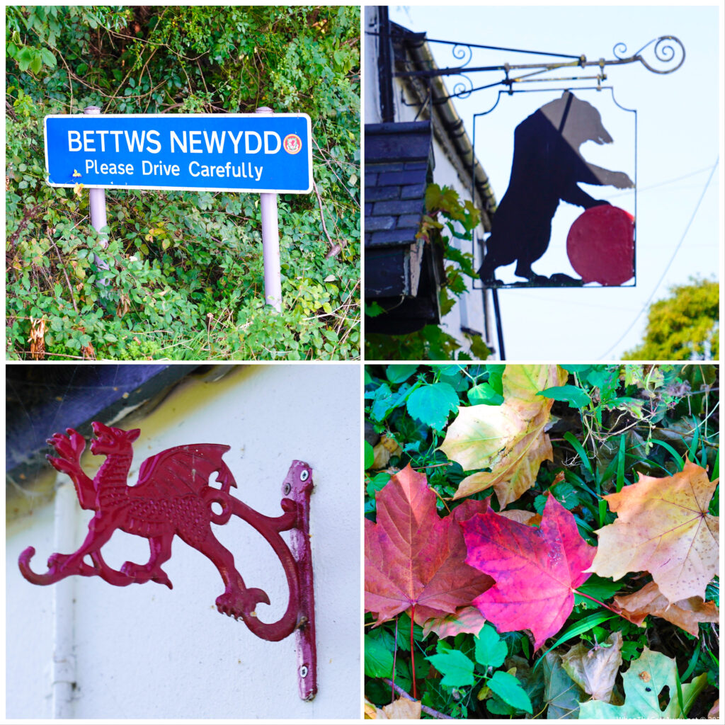
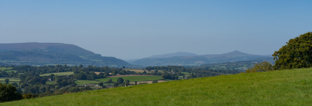
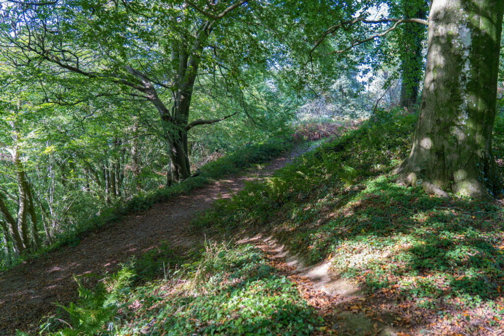
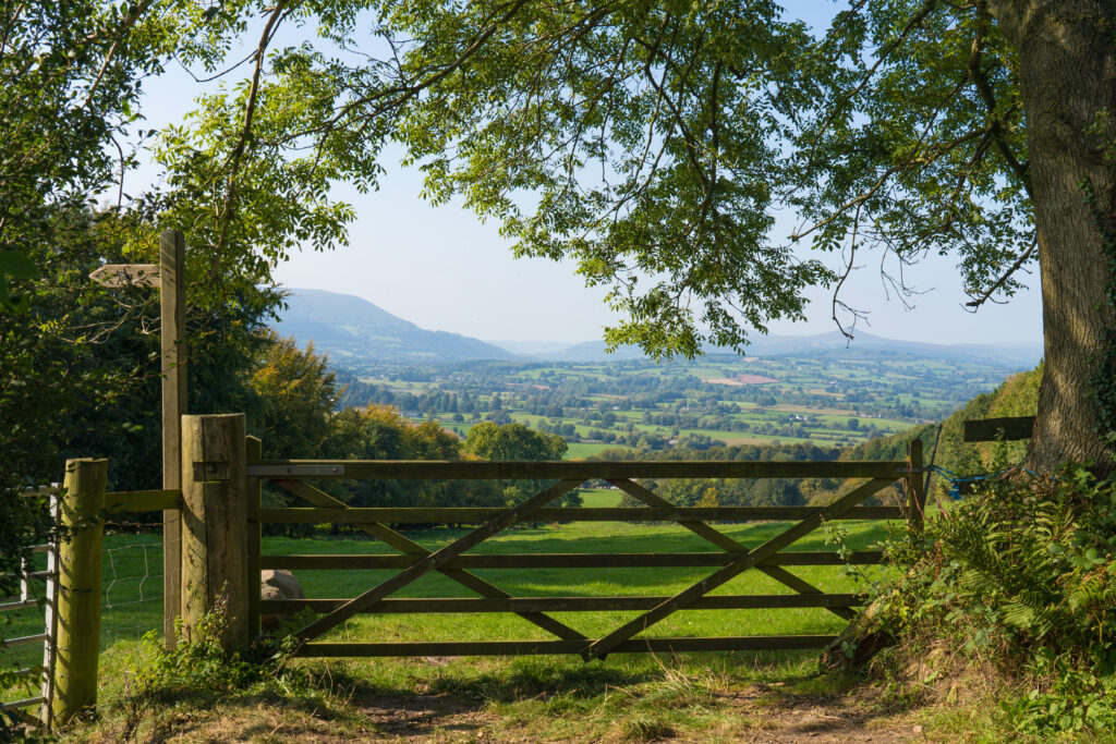
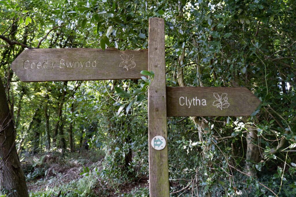
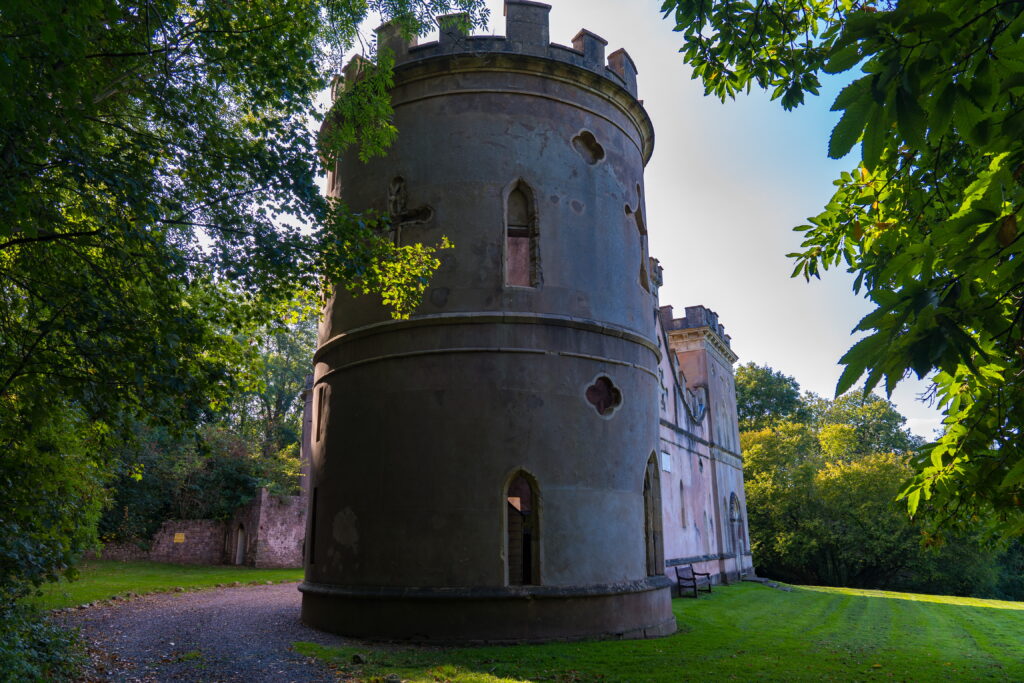
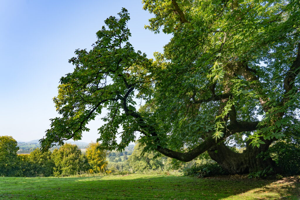
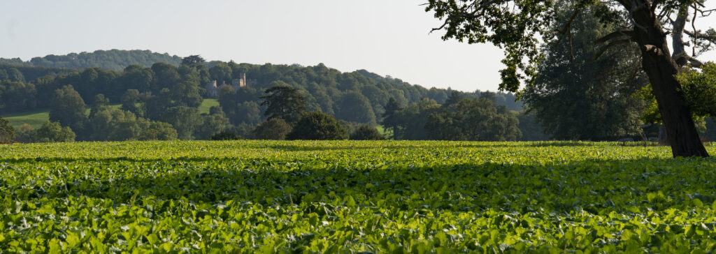
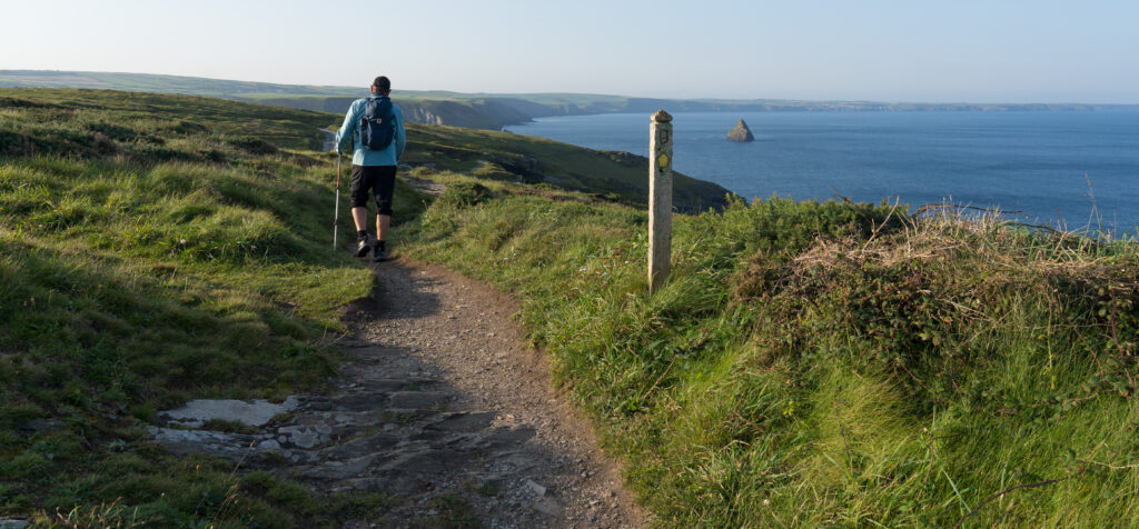
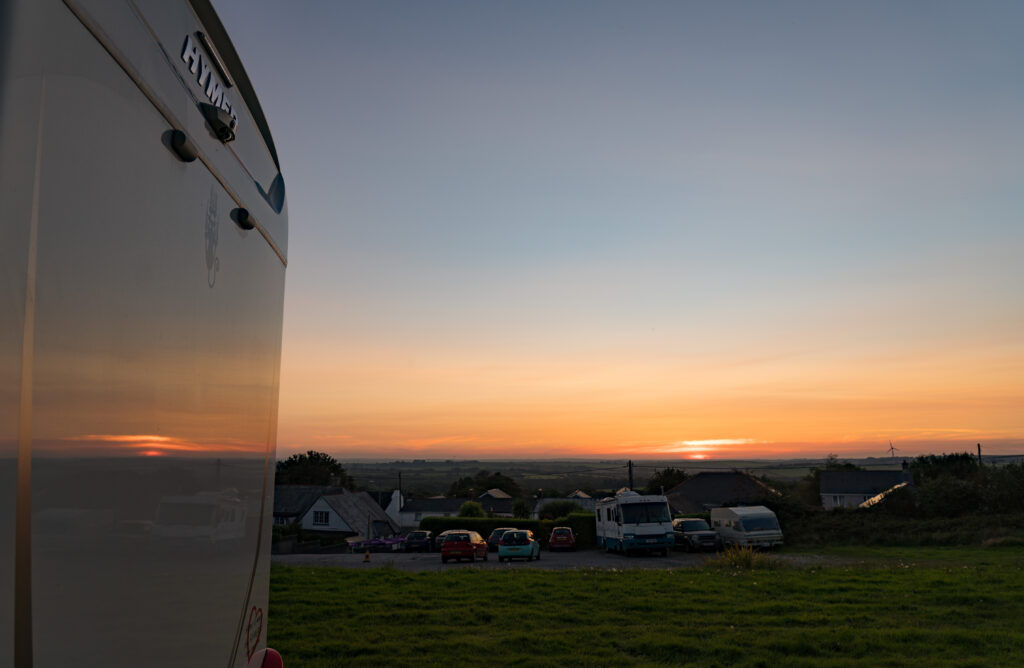
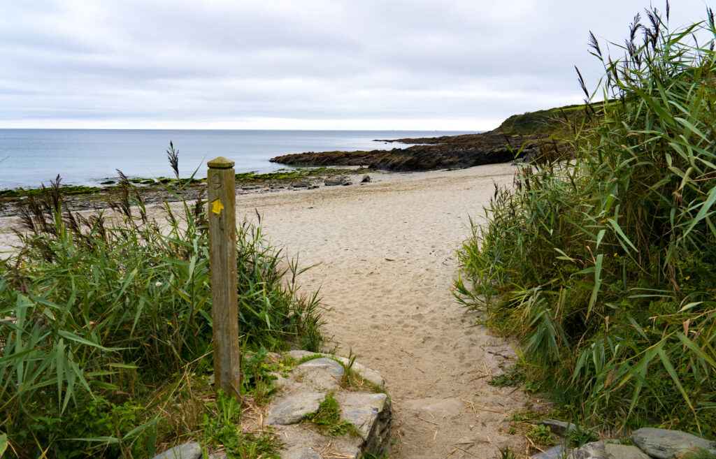
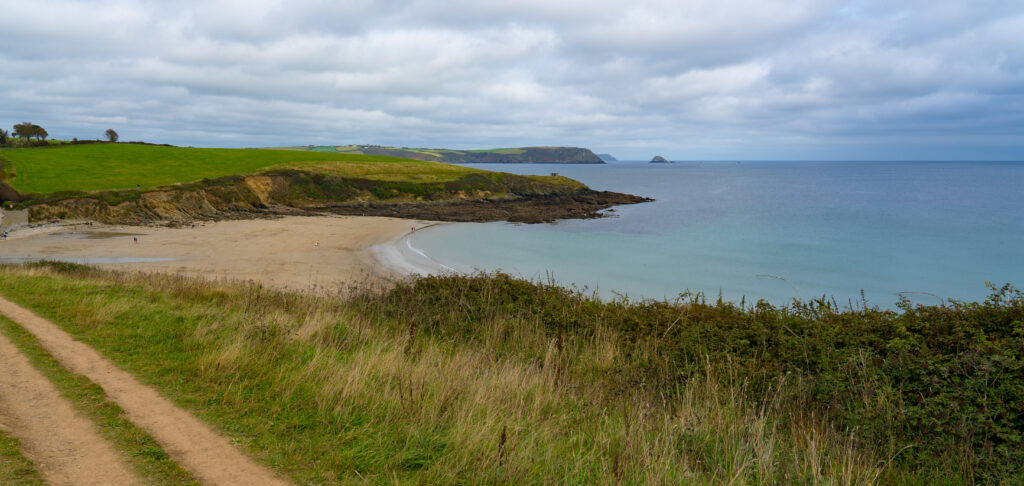
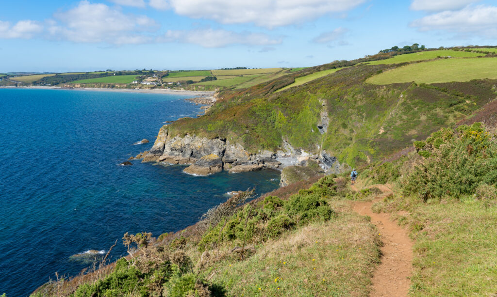
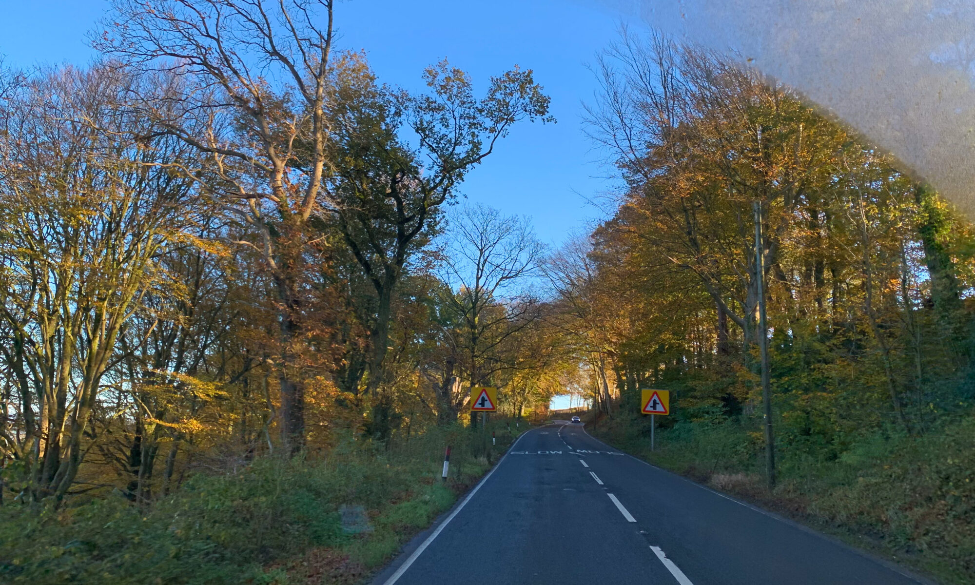
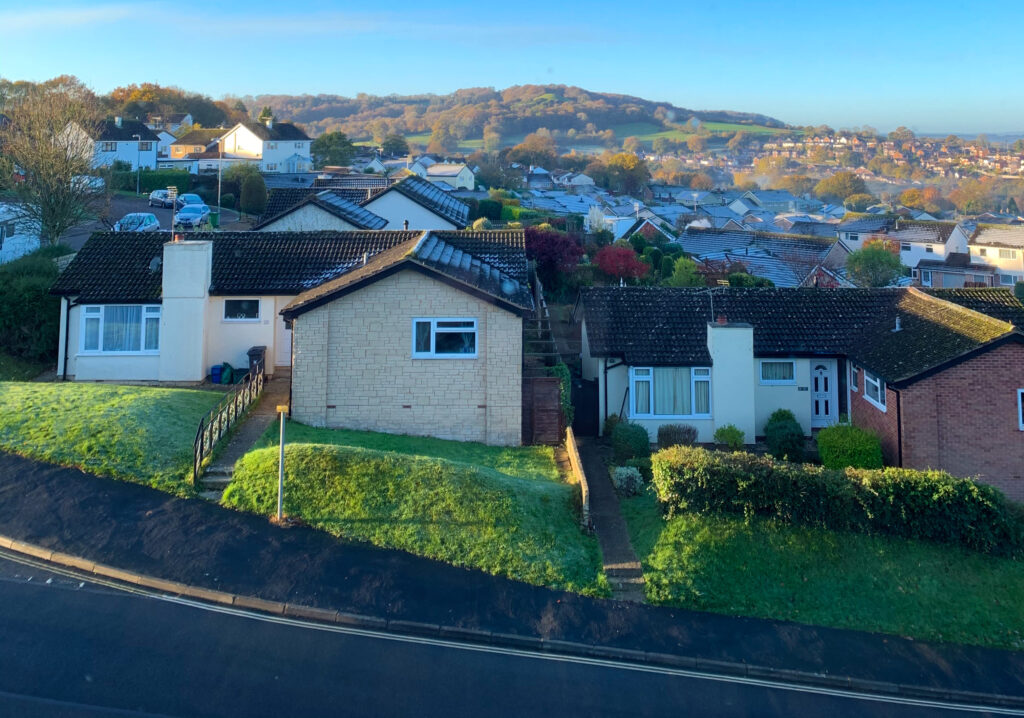
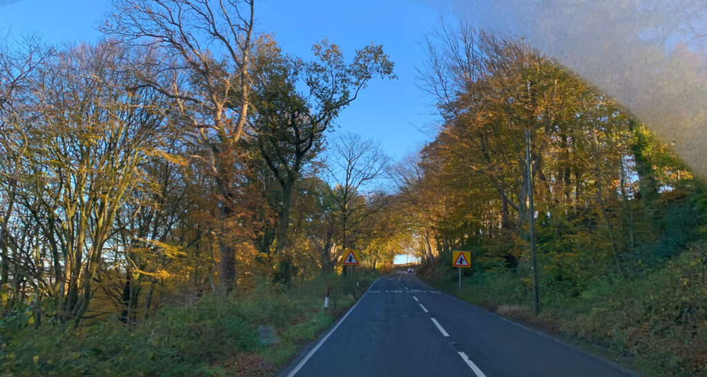
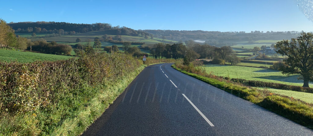
Finally it was time to store Truffy. We awoke to a crisp, clear morning and a fabulous view over the frosty white rooftops of Honiton and to the fields beyond. The perfect farewell memory for this stunning part of the UK. The autumn trees were positively glowing as we drove along empty roads to the storage place and parked Truffy up for the last time.
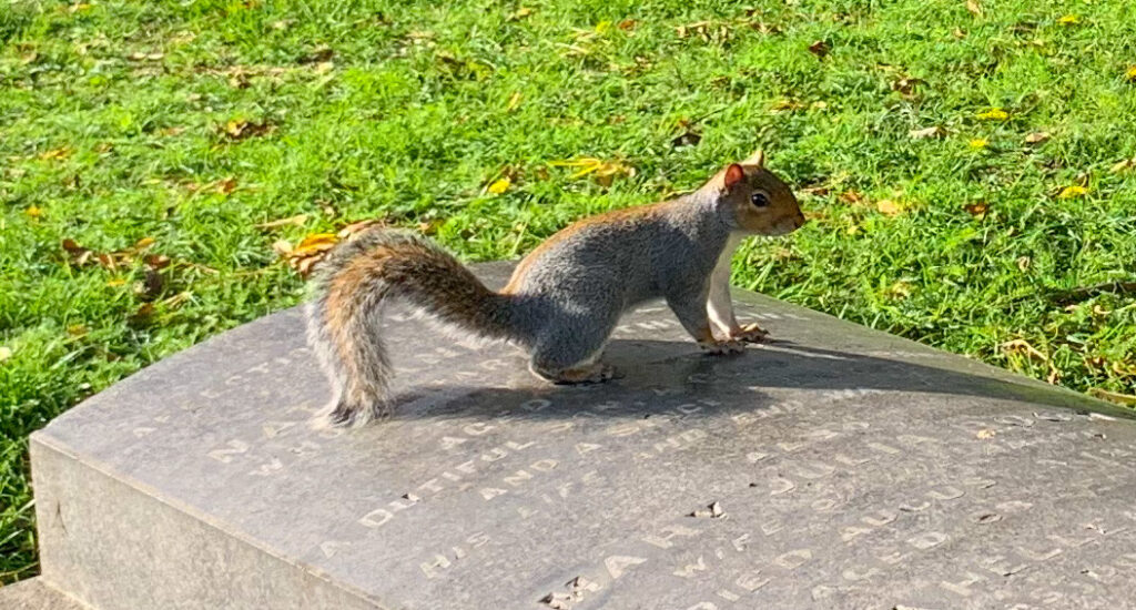
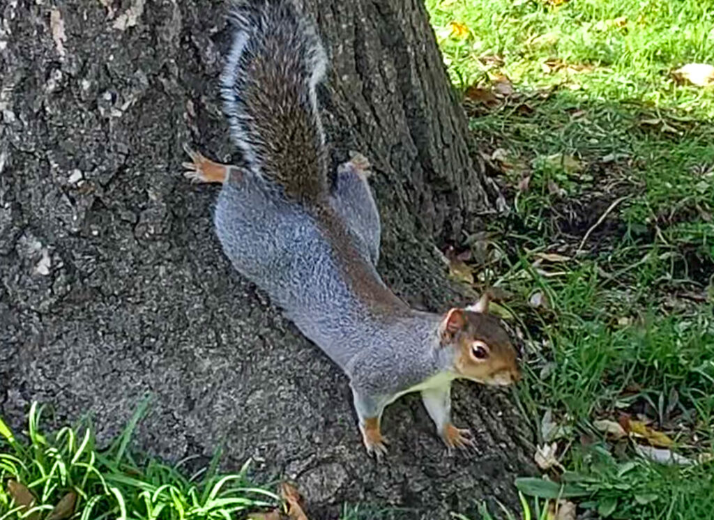
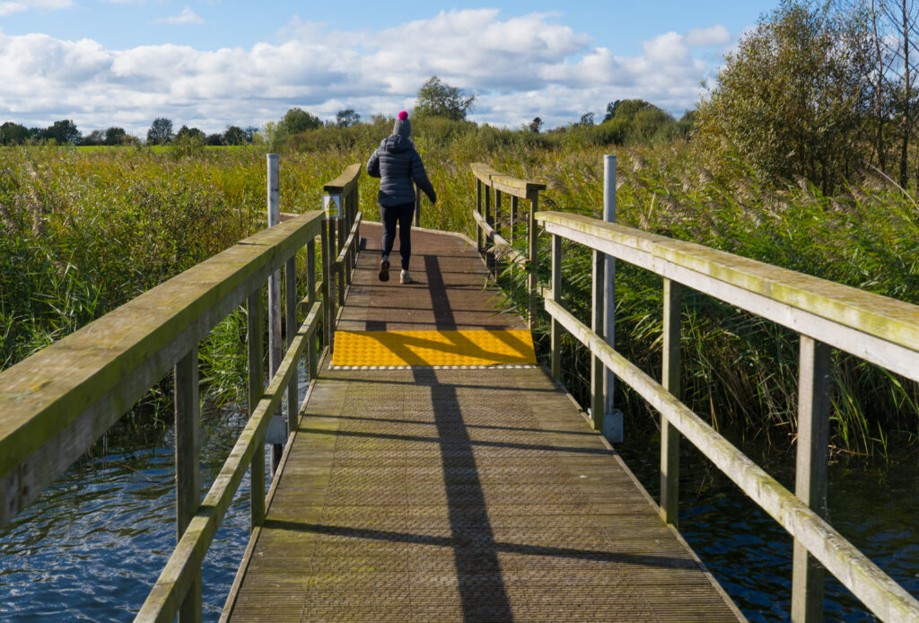
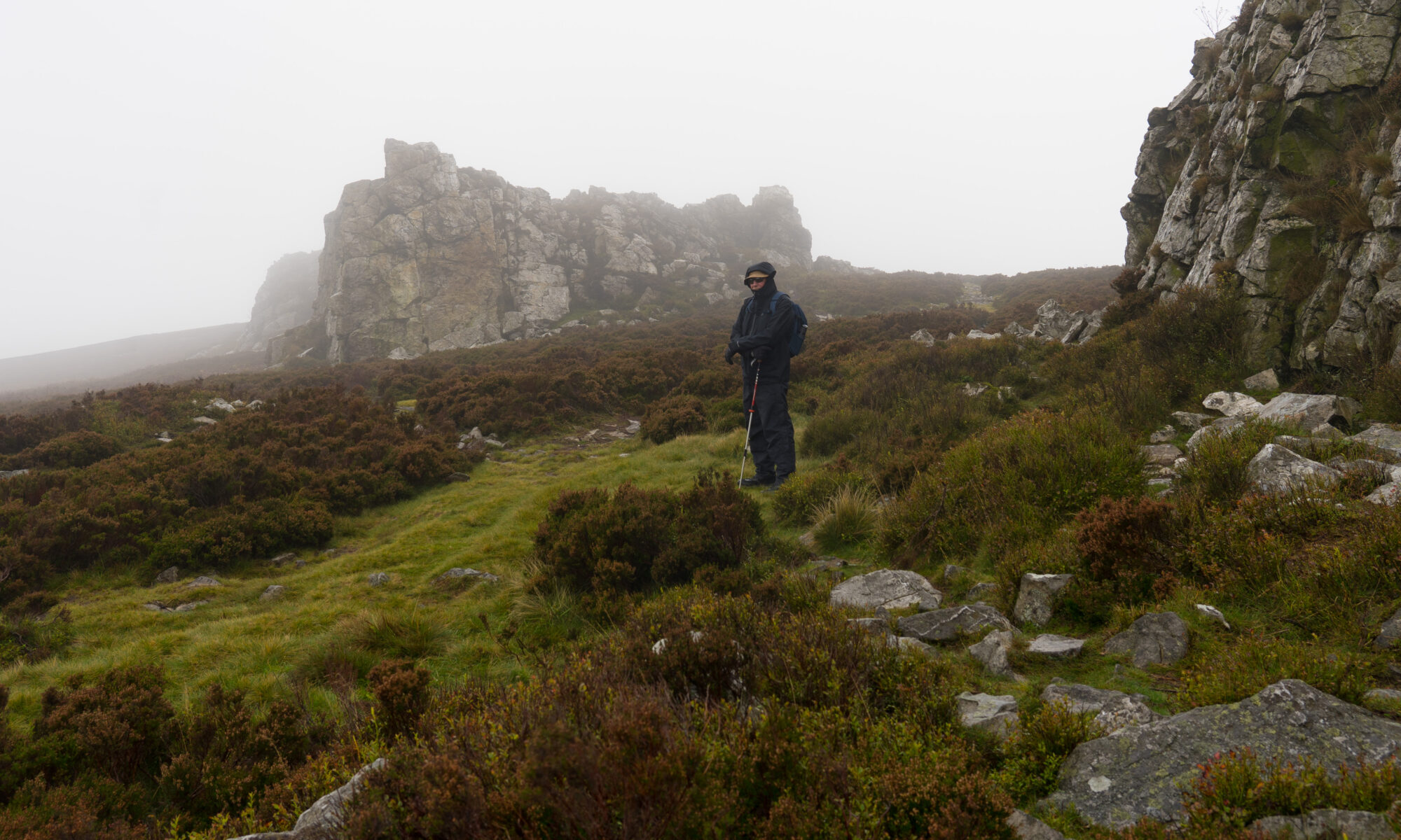
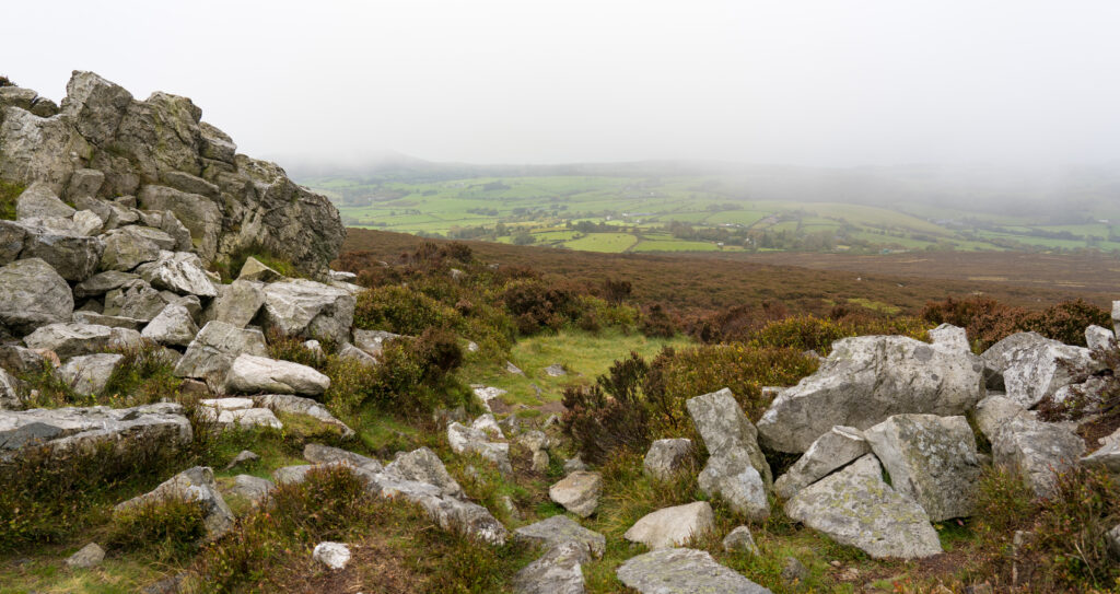
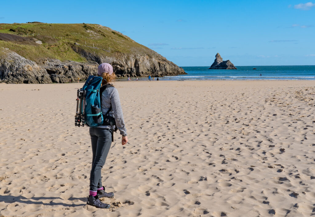
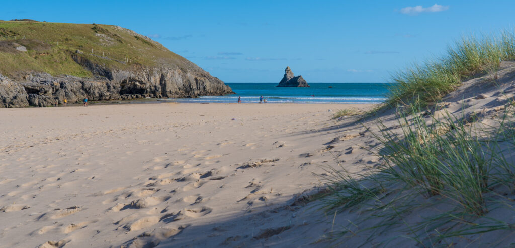
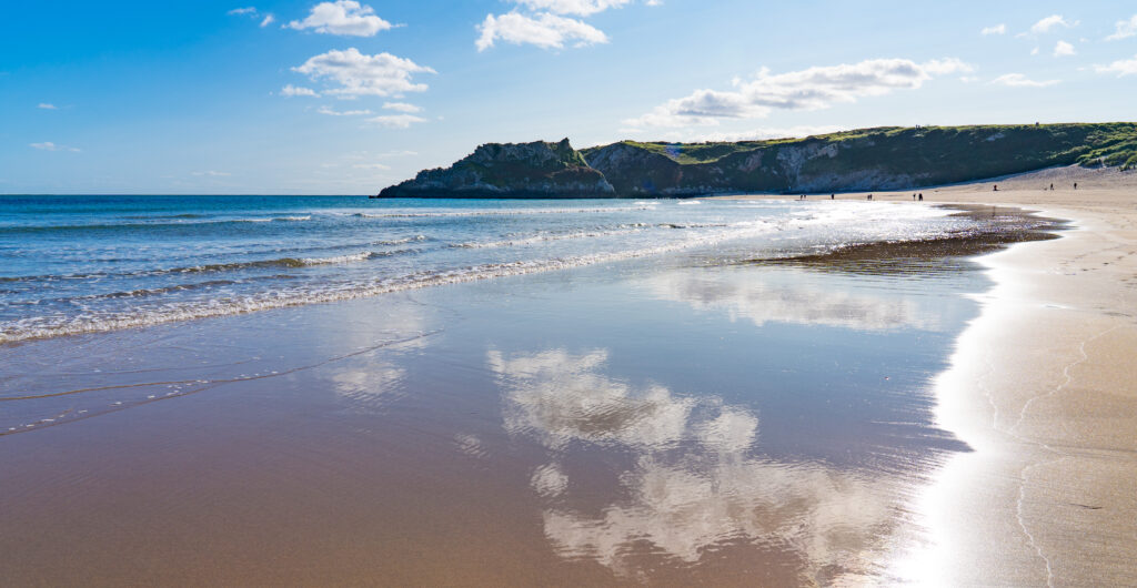
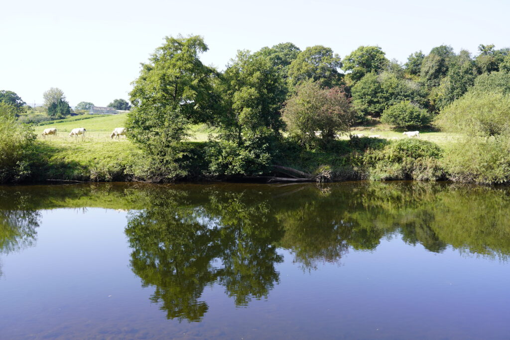
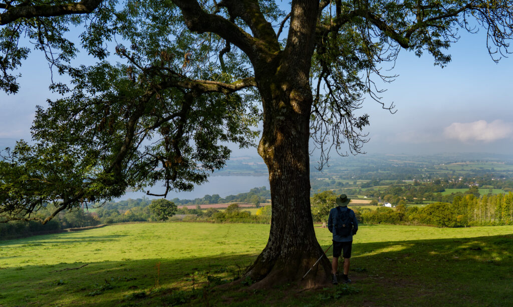
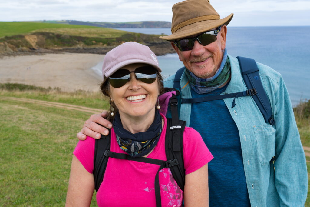
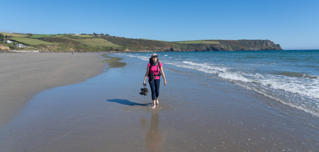
We both felt rather sad driving away. Although this year didn’t bring us the travel adventures we initially expected, we have had some incredible times these past few months, reconnecting with our homeland, watching the seasons change and relishing all the weathers and temperatures that come hand in hand with them.
While we don’t know when we will be able to return we do at least feel comfortable that Truffy’s in safe hands and will hopefully not be in too bad a shape when we eventually return.
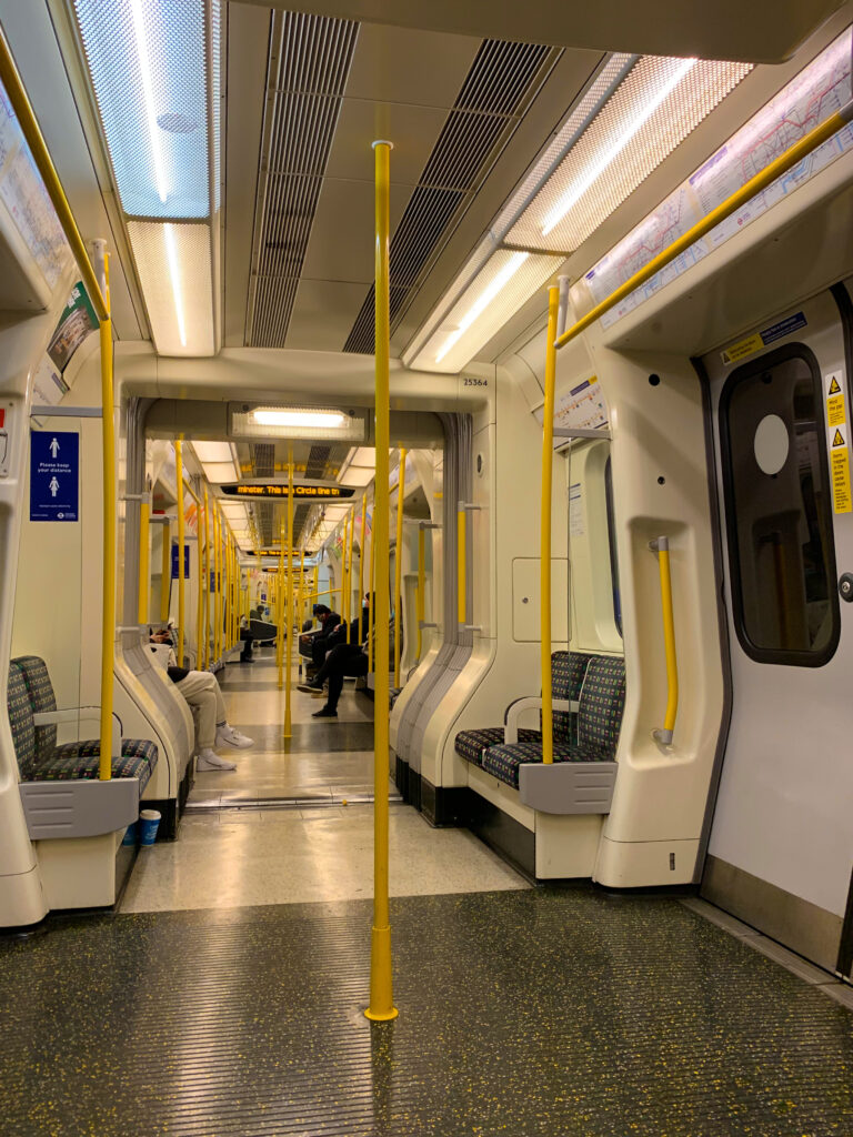
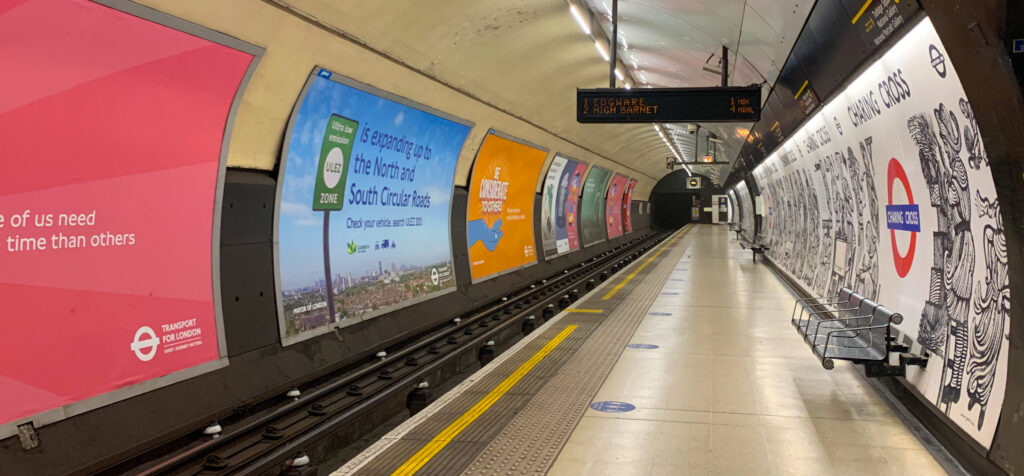
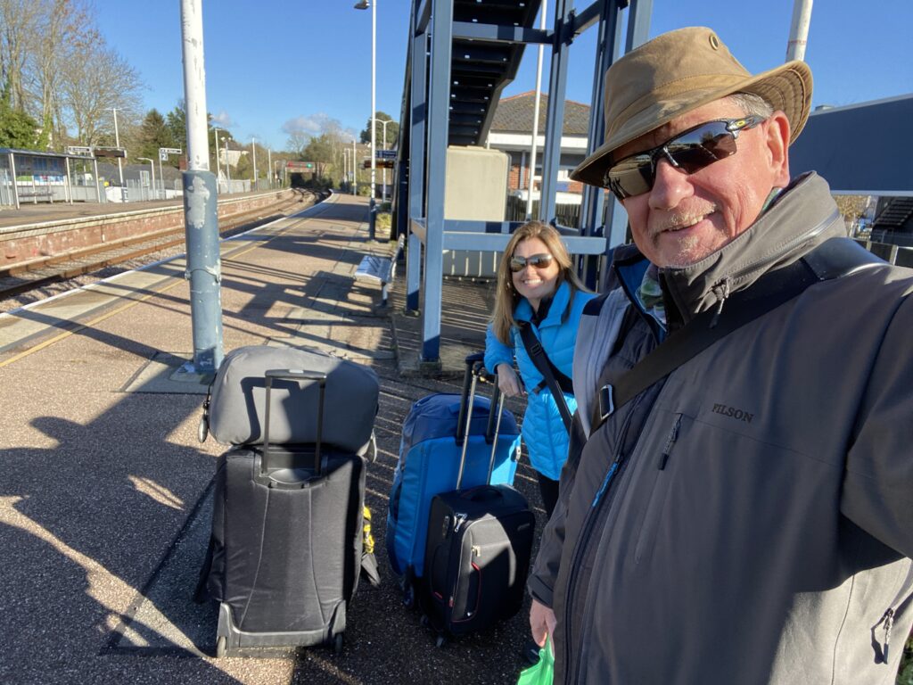
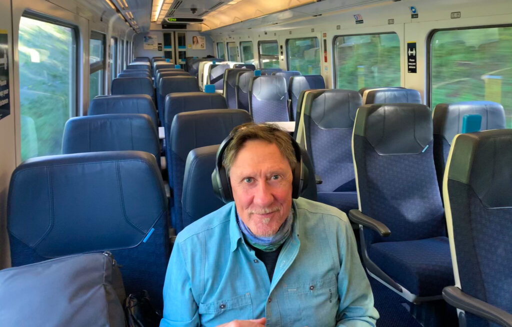
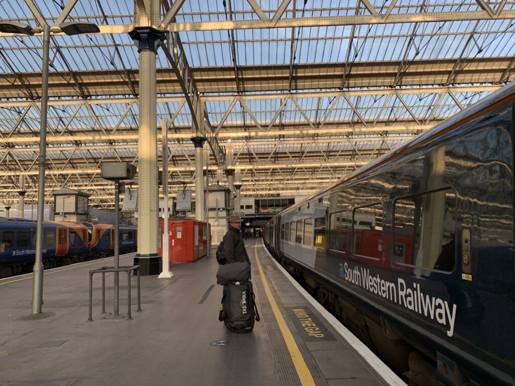
Stepping onto an empty train platform at Honiton, followed by a nearly empty train to London, we were reminded that these are strange times, with more to come. This is the first day of the UK’s second Covid-19 lockdown.
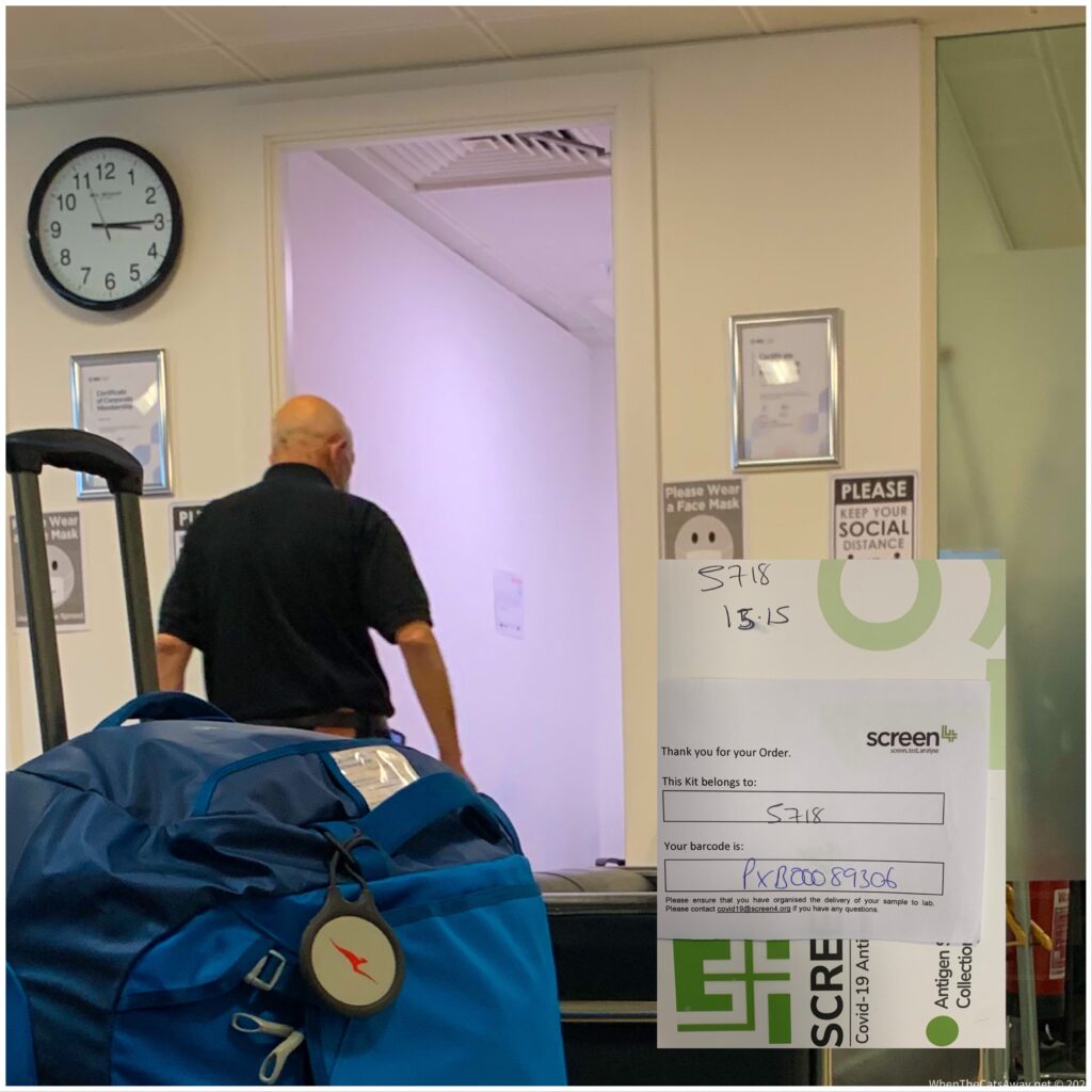
Our first step along the way to getting back to Australia was to get a Covid-19 test done. This was included in the price of our ticket with the results being sent simultaneously back to us as well as Qantas sometime in the next 48 hours. Getting a negative result means we can board the plane on Saturday morning…hopefully sooner than that given our flight leaves in a little more than 36 hours’ time!
We caught a taxi to Fenchurch Street where the testing centre was located. It was all very casual and ramshackle, nothing like the NHS centre I had attended for a test two weeks ago. We were called in to be tested one by one, sat in a chair in a tiny cupboard-like office, beside a bin overflowing with cardboard boxes and used tissues. Definitely not the most hygienic testing facility – we both left feeling slightly violated and with the distinct impression we had been placed in more danger of being exposed to the virus than we have in any of our previous weeks of travel.
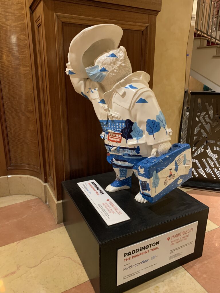
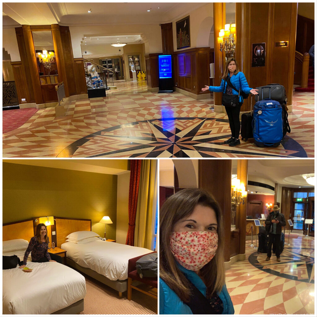
We left and caught a very quiet tube train from the city to Paddington Station where we checked into the Hilton Hotel for the next couple of nights. Thanks to the lockdown, there is no eating out at a restaurant tonight – just an UberEats delivery in our room.
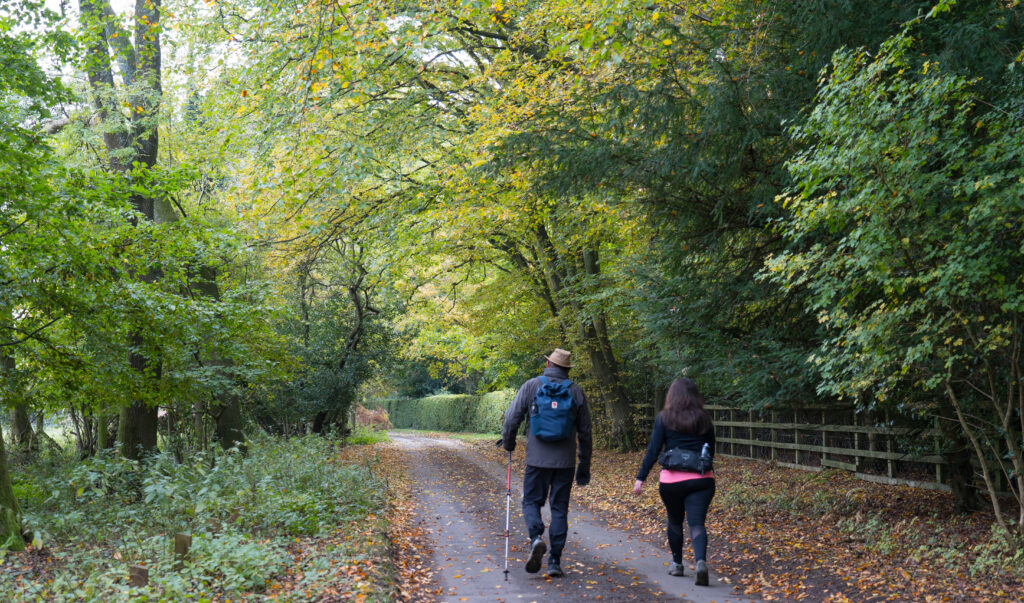
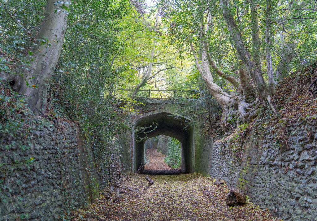
We have one final day left in the UK before we fly, and with few shops open and nothing left to do or prepare, there’s a lovely sense of freedom about the day ahead. A chance to just breathe and enjoy London for its outdoor spaces and cool temperatures before our upcoming time in Darwin’s 34°C quarantine.