Author: Mrs A
Location: Aberaeron, Wales and Stiperstones, Shropshire, UK
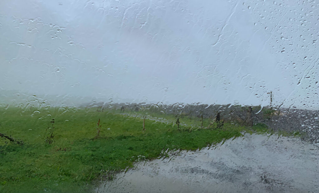
Determined to try and hike more of the Wales Coast Path, we left New Quay and drove a short way up the coast to just north of Aberaeron, a small holiday town. The worst of Storm Alex seemed to have now passed, and we thought it would be good to see a new area. Unfortunately the weather continued to rage against us, and as we pulled up at a coastal car park, the wind was howling and the rain driving hard at an angle straight off the sea.
We warmed up some soup on the stove and watched as determined dog walkers braved the elements, leaning into the wind with their hounds, only to return sodden shortly later, and bundle themselves and their wet mutts into cars and drive off. It didnt look appealing.
We studied the weather forecast for the coming week, the radar showing a slow moving front of rain hanging over the whole of Wales for the foreseeable future. We could see a lot more indoor time ahead if we didn’t change our plans.
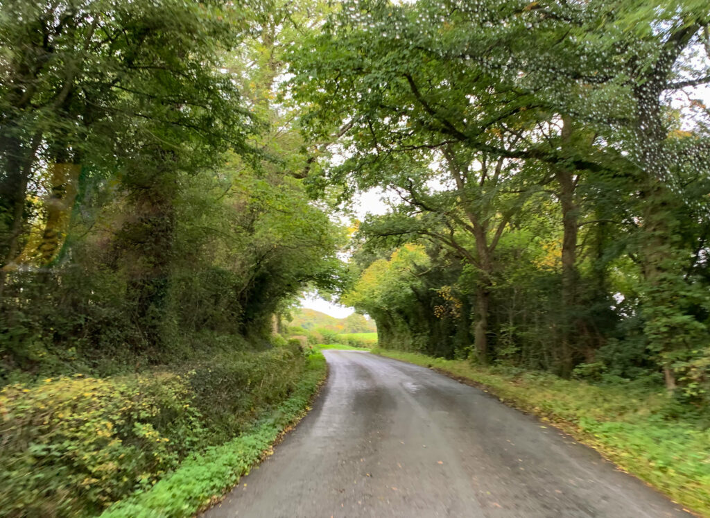
So we looked at the map. At the western edge of England, bordering Wales, was a little known (to us) county of Shropshire. In many ways, all we knew of Shropshire was what it is not: not quite Wales, not quite the North, no cities, no motorways, no coastline. This landlocked county seemed to be quite the antidote to a wet and windy Welsh clifftop, and an ideal spot to regroup and plan our next week.
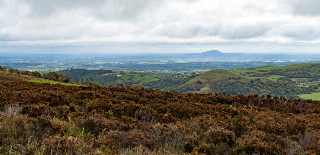
My eyes were immediately drawn to one area – the Shropshire Hills Area of Outstanding Natural Beauty (AONB). An area full of walks and views (if the weather is good). I found a pub with good reviews that allowed motorhomes to park overnight, located in a tiny village. We pointed Truffy’s nose east and hit the road.
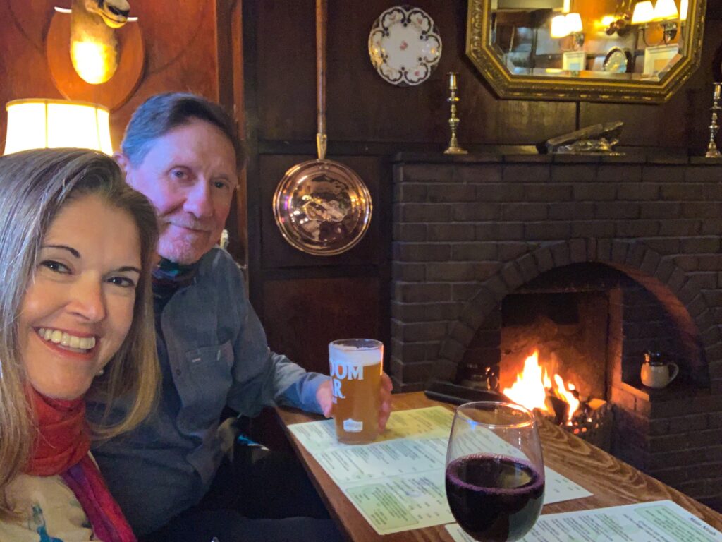
Before long, we pulled into the carpark of The Stiperstones Inn in the village of Stiperstones. We popped our heads into the lounge bar, and were greeted by a welcoming masked smiling face, a roaring log fire and a menu listing several interesting dairy-free meals. Perfect! We booked in for dinner, seated by the flames, enjoying our first decent meal out in a long time.
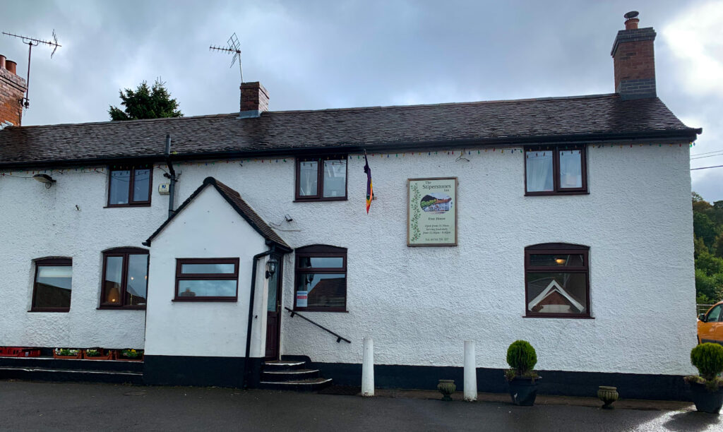
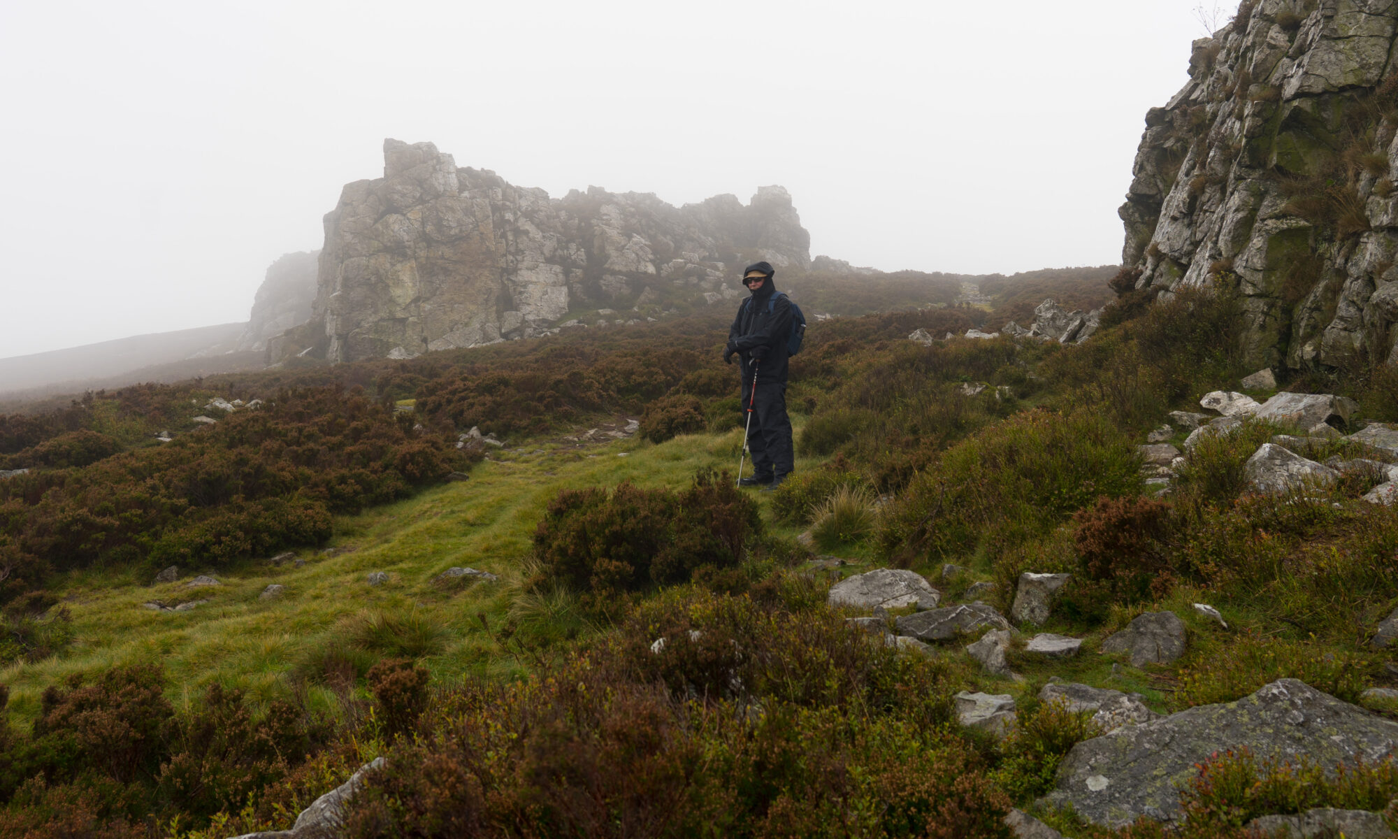
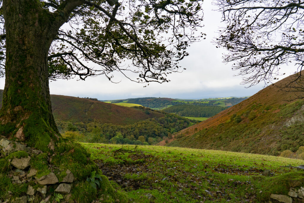
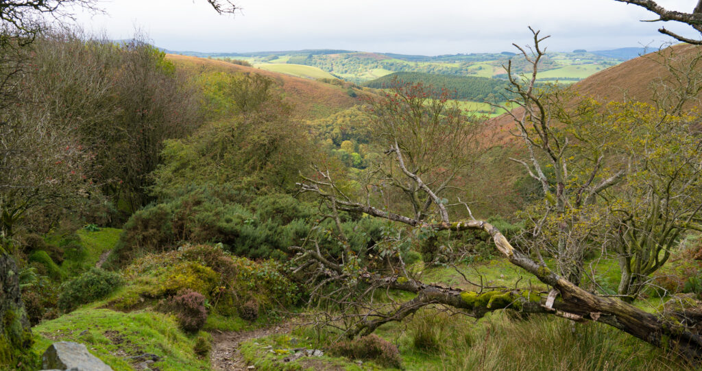
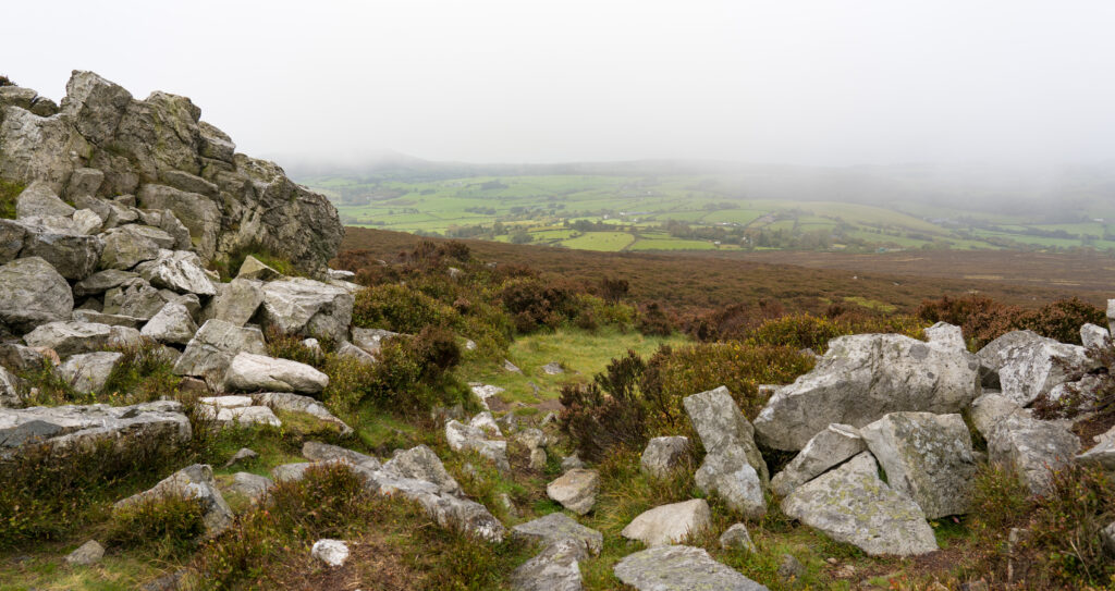
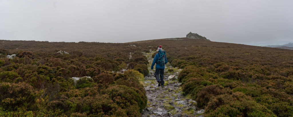
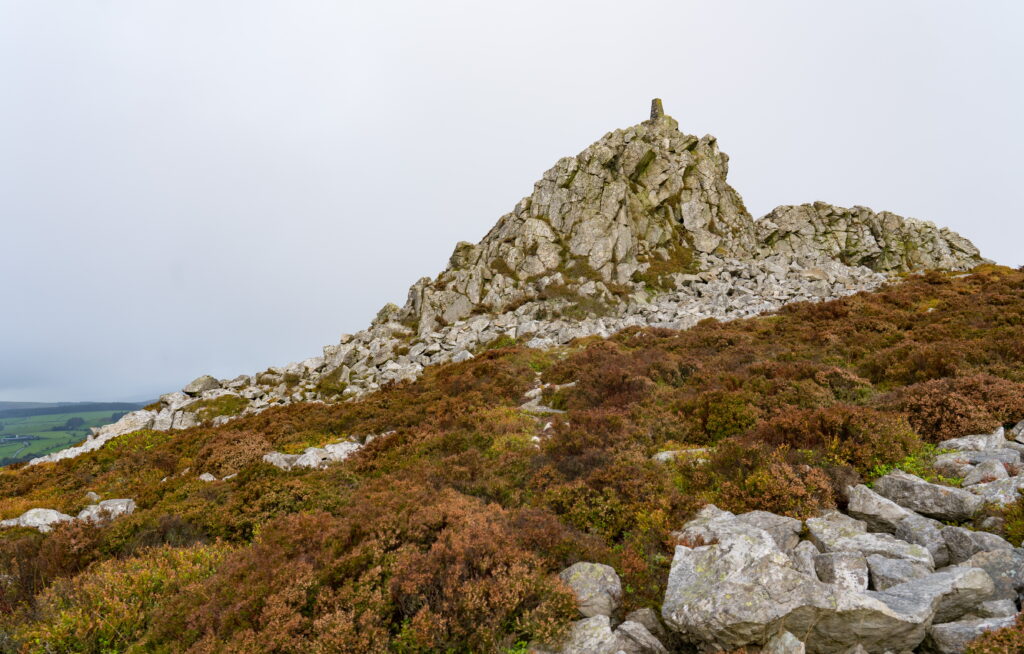
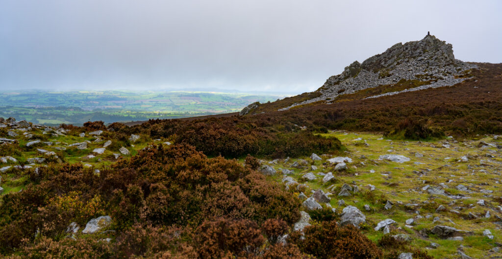
Stiperstones is named after rock formation on top of the hill that overlooks the village. The nature reserve is covered in silvery grey quartzite rocks, shattered into distinctive jagged tors and surrounded by a jumble of rocks that were broken up by continuous freezing and thawing during the last ice age. Chatting with Sophie, our lovely barmaid, she told us where best to start the hike up.
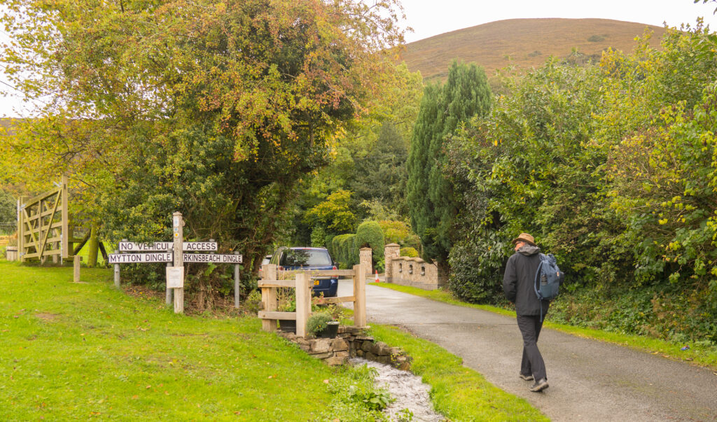
“Walk down to the dingles, and take the right dingle all the way up.” We were intrigued!

So after a peaceful night’s sleep in the pub car park, we walked down the road to find the dingles. Not to be confused with dangles.
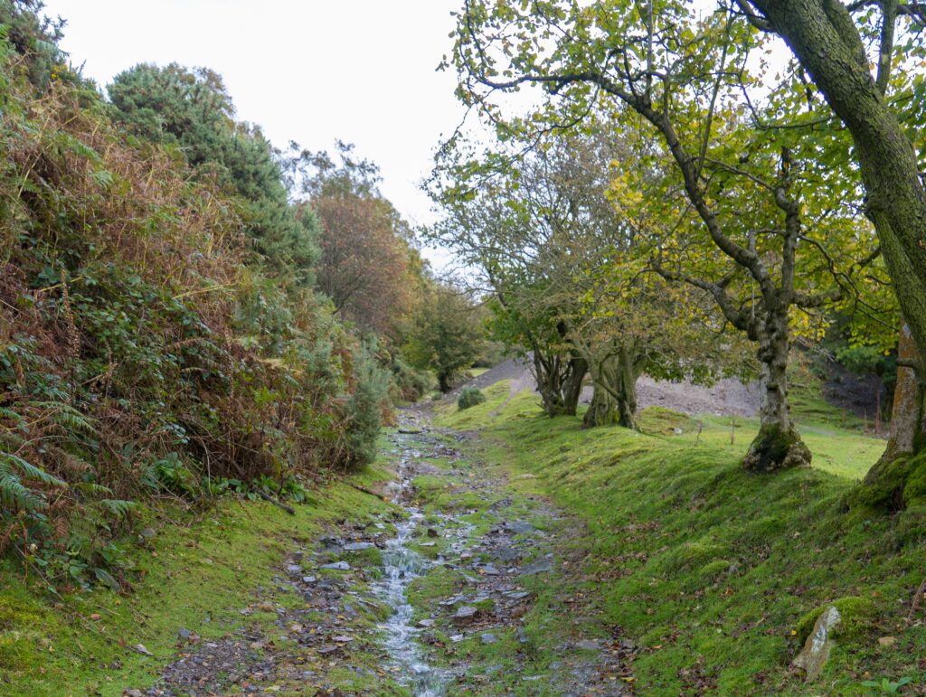
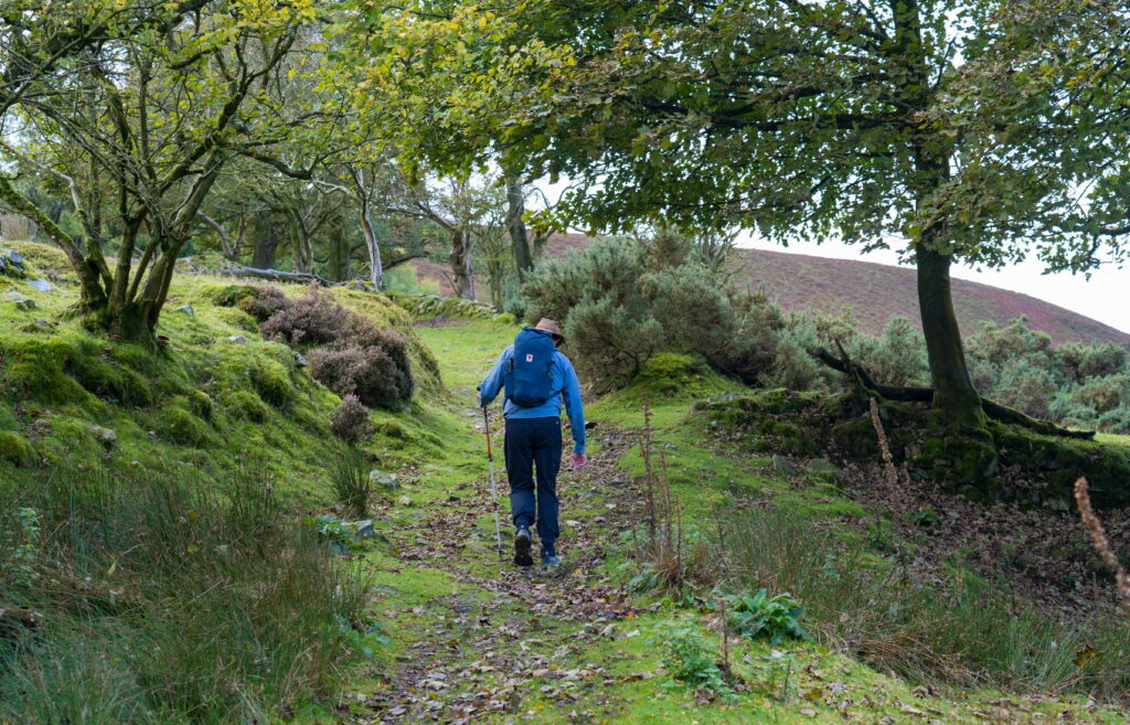
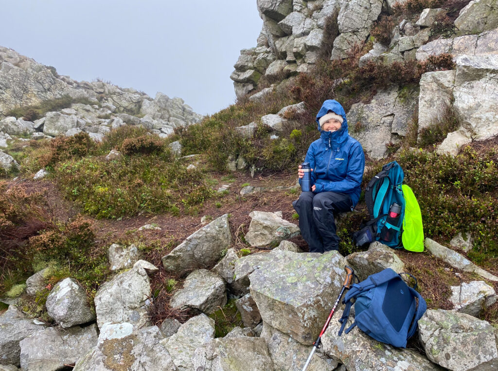
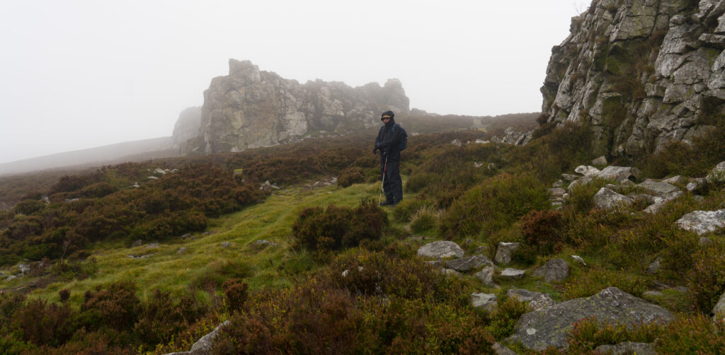
You’d have thought we were the only people up there, but no, there were other nutters braving the wild and unpredictable weather. The first people were a group of geography students with their teacher, learning about the geology of the area on a field trip. Then we came across two more couples walking dogs through the deluge of sideways rain, wind and fog. In all cases, each party laughed at the predicament in which we found ourselves. Mad dogs and English folk.
Strangely, we loved the erratic elements. The fog swirling around, obscuring the views, before suddenly clearing to reveal a far off hillside or field highlighted by a break in the cloud, bright sunshine making the greens almost fluorescent in the surrounding gloom. And it is all about wearing the right clothes. We layered ourselves up in fleeces, waterproof trousers and coats, hats…and changed as necessary to suit the conditions.
We gradually climbed back down off the hills, opting to take quiet lanes on our return walk to the pub. A great taster of the area.
We admit being very tempted by returning to the pub for lunch beside that roaring fire, but we decided to pack up and move on to our campsite for the night.. There our little Aldi fan heater was put to work drying everything off before another peaceful evening.
