Day 81: 18 August – Spectacular Francois Peron National Park

Author: Mrs A

Location: Francois Peron National Park – Big Lagoon, Cape Peron and Snapper Point

Distance driven: 110 km return

Distance kayaked: 4 km

Distance hiked: 4 km

We left early after a light breakfast heading for Big Lagoon (they’re very creative with the names in these parts. There is also a Little Lagoon) in the Francois Peron National Park. We had been told by the information centre that today was to be both the warmest and least windy day of the next five days, so we decided to take advantage.

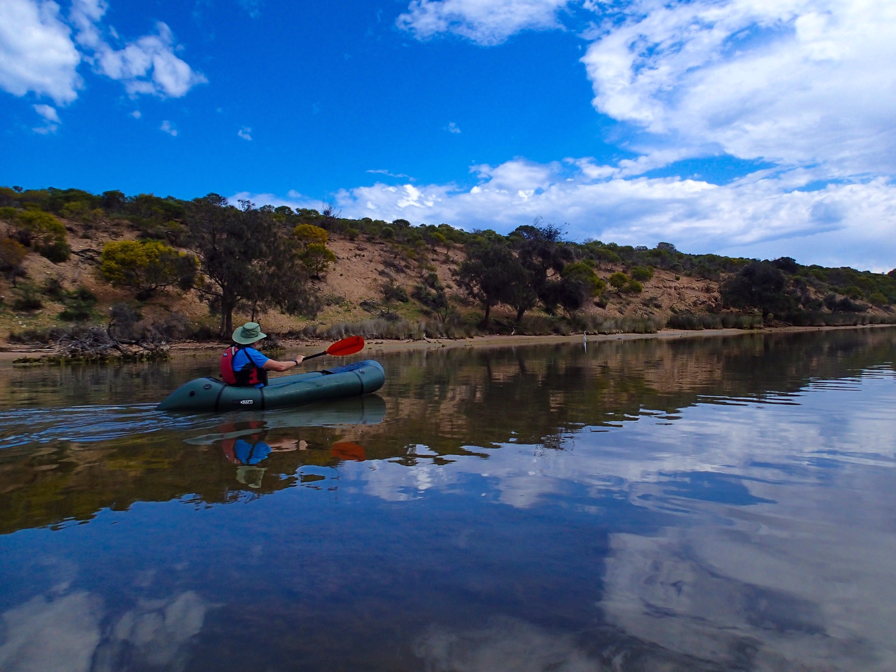
By 9.30am we were inflating our pack-rafts and setting off on the beautiful turquoise water for an explore.

It was the perfect way to see the shallow lake, which was unsuitable for motorised vessels. We explored right across to the opening of the lagoon, where it met the sea, and clambered up the iron rich sand dunes, cris-crossed with multiple animal and bird tracks, and no signs of humans at all.

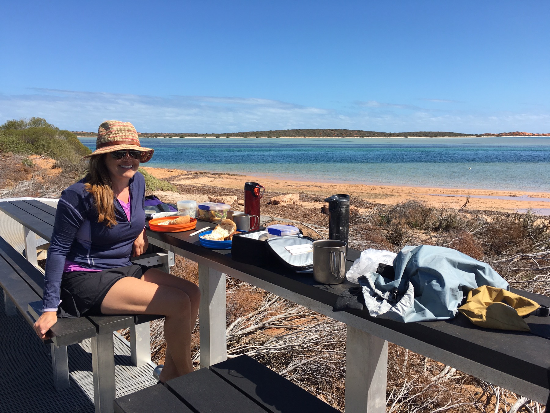
We decided to stop and have lunch here, at the brand new national park kitchen and picnic area with the million dollar view. Not another soul was there!

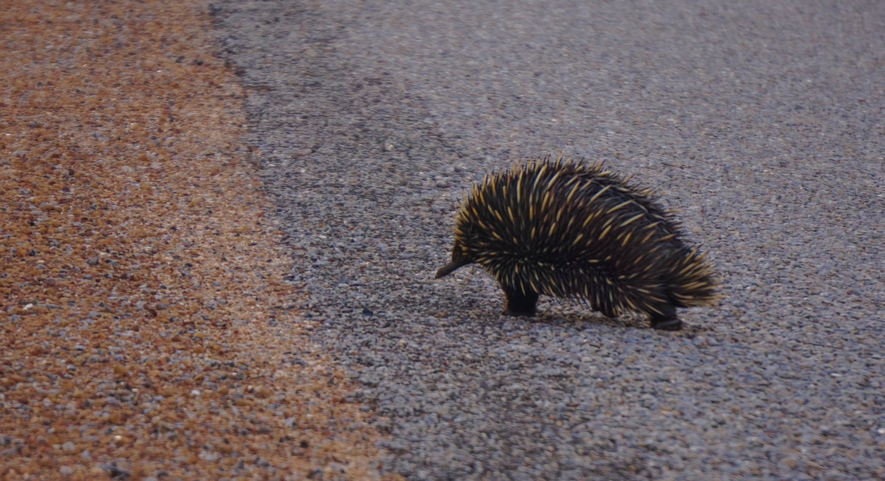
After lunch we decided to drive up to the tip of the national park. I had read some incredible accounts of the scenery and wildlife up there, and couldn’t wait to visit, however as we drove up the extremely rough roads (corrugations and deep sand) for over an hour, I could tell Mr A was doubting my decision. Thankfully the view at the top was incredible, with spectacular scenery and out of this world colours.

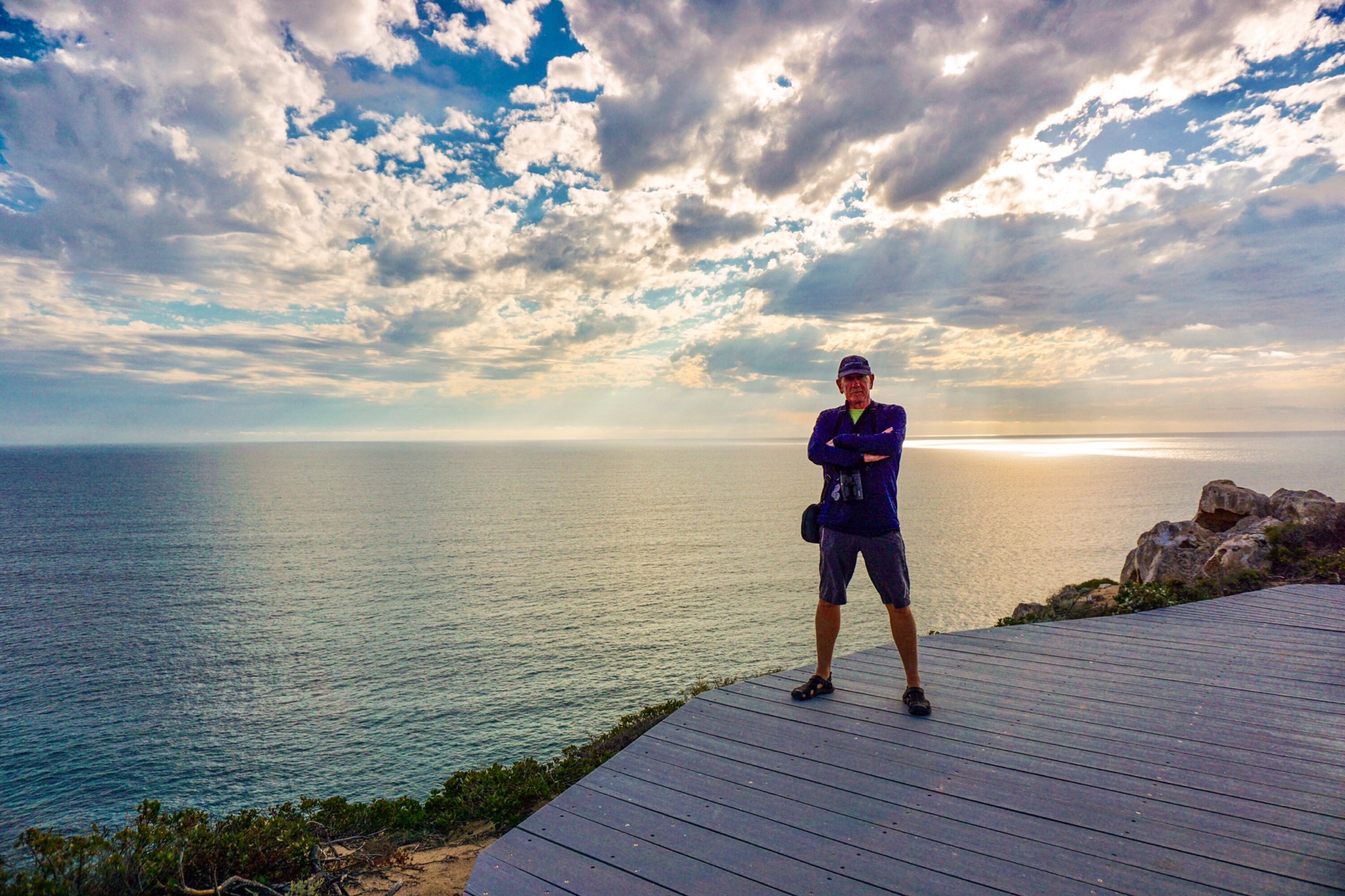
Better still, as we reached Cape Peron and the Snapper Point Lookout the sea life appeared as if on cue – within moments of arriving we spotted several sharks swimming past and a huge manta ray, along with multiple shoals of gleaming fish. We both agreed, we could have spent a whole afternoon just there.

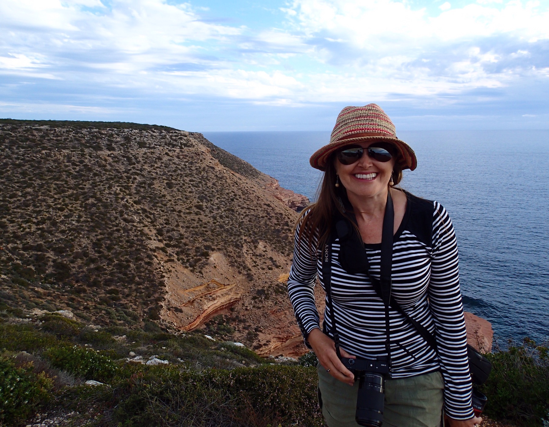
We walked along the headland, reading about the history of the point, with the first European visitors arriving from France back in 1801 and dancing to the maracas to try and convince the local Aboriginal groups they were there in peace. The Aboriginal people of course have been resident on this point for more than 26,000 years, and had never seen anything like it. I can only imagine what planet they thought these strange visitors were from!

Down on the beach we saw hundreds of Little Pied Cormerants, which are regular residents here. The fact there are so many on land in this photo, and not in the water, means there are tiger sharks about. Cormerants, dolphins, manta rays, turtles and the odd pack-rafter are favourite meals for tiger sharks. We remained firmly on land.

We returned to camp exhausted after our busy day, and thankfully had the foresight to defrost a pre-made red curry for dinner. 

Day 80: 17 August – Are we in the French Riviera?

Author: Mr A

From: Hamelin Station 

To: Denham

Distance driven: 105 km

Distance cycled: 5.5 km

Distance hiked: 5.5 km

A little dusty this morning after celebrating our anniversary a little enthusiastically with our new “on the road” buddies Nick and Laura. A Mr A special of bacon and eggs soon had us raring to go (in our minds at least), so we pulled up sticks and headed off. 

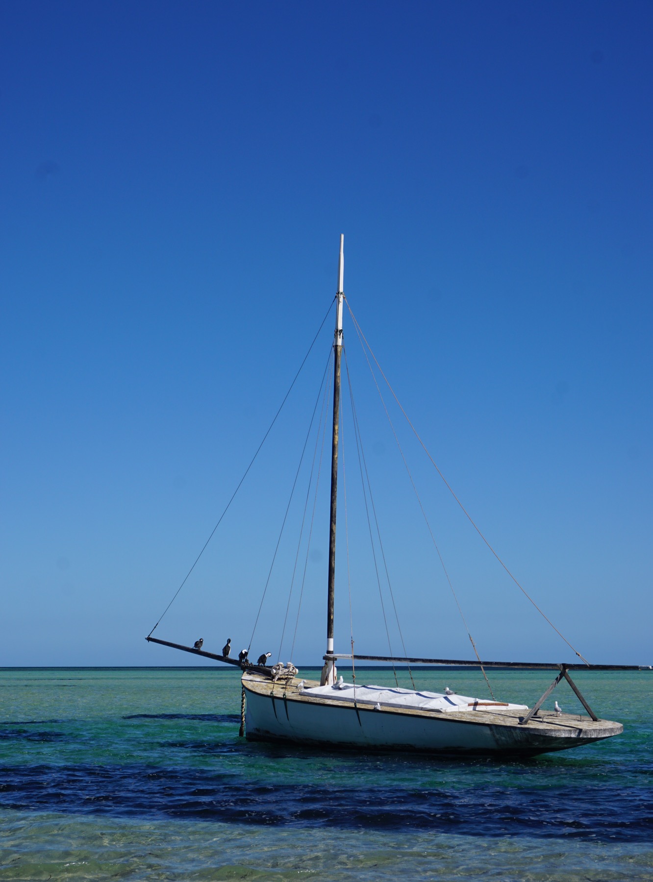
Coming down the hill into Denham we saw this perfect white sand beach, framed by yachts bobbing around on an azure sea…and wondered ‘Did we just get teleported to the French Rivieria?


After getting set up in the caravan park we cycled round town, eager to find those lovely little French cafes which the chic looking crowd ambling the markets ….however…the first (and only) cafe-come-bakery in town was staffed by a woman dressed as if she had recently lost a fight with a bag of flour, who,when asked ‘Could madam please make a soy hot chocolate?’, walked away and mumbled something incoherent. After a couple of promts she managed to grunt ‘Nah’, still without making eye contact. Ah well…we are definitely in small town WA where the only caravan park is chock full and every business in town seems to just open its doors and say ‘Take it or leave it, these’s a queue behind you if you don’t like it’. 

On the positive side it is a lovely backdrop to the town…


A popular spot to moor up for the yachties, the water is just crystal clear, and apparently the fishing is good. And in a nutshell that’s the difference between the French Riviera and here. Miles and miles of pristine beaches stretch away into the distance, hardly a human footprint in sight, but those of kangaroos, birds, lizards…..queuing up to be photographed by Mrs A.

We had booked dinner at the one and only restaurant in town (The Old Pearler Restaurant), in a building made completely of shell bricks from the quarry we visited yesterday. As this was a special night, given we ate in on our anniversary, we ordered the seafood platter. Now $115 got us a big plate of seafood each, but no salad, no chips, nothing – just a plate of seafood. Interesting…And they were booked out of course. If you want to eat out in Denham, other than the grotty pub with the pokies clanging away, you have no choice but to come here, whatever the price. 

Now for those of you who are wondering ‘Where the heck is Denham? I must cross it off my gastronomy tour‘ here’s our current location. Very close to Monkey Mia, famous for the dolphins. It is as far west in Australia as you can ride a horse…and amazingly beautiful. 

Day 79: 16 August – Biking, bubbles and campfires

Author: Mrs A

Distance driven: 452 km

Distance cycled: 14.5 km

We awoke to a perfect blue sky morning and were packed up, hitched up and on the road by 8am. We had a lot of driving ahead of us and we wanted to ensure we made the most of our destination in the afternoon.

Several podcasts kept us company along the way, and by 2.30pm we had arrived. Today we are staying at Hamelin Station on the southernmost tip of Shark Bay.


Hamelin Station Reserve is a 202,000 hectare property, situated on 32 kilometres of coast line and bordering the Shark Bay World Heritage area.  The former sheep station is now owned by Bush Heritage Australia.  The reserve helps to protect Hamelin Pool, one of the only two places in the world where living marine stromatolites are known to occur.

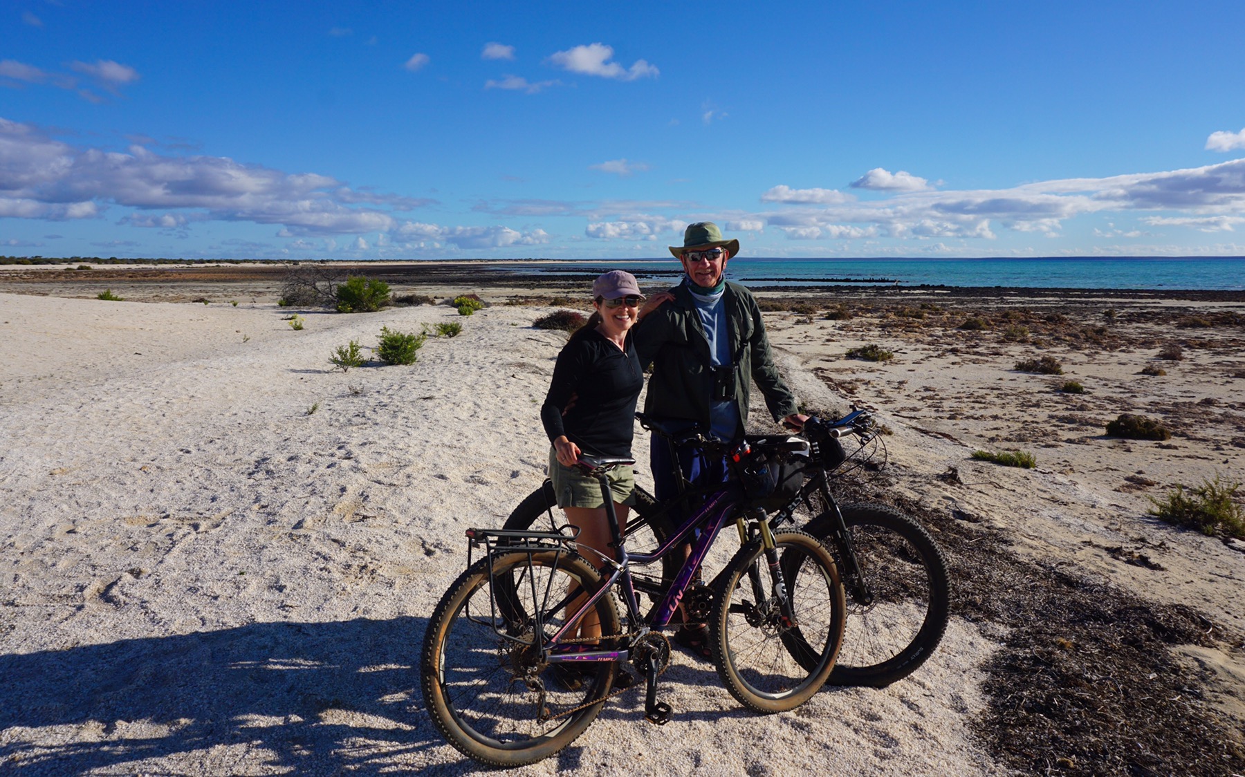
Now, we had no idea what stromatolites were, so on spotting a sign directing us to see them, we jumped on our bikes and headed up to Hamelin Pool. As we rode down onto the beach and boardwalk we spotted Nick and Laura, the couple from Manly/UK who we first met (and last saw) just north of Broome while hunting for dinosaur footprints! On finding they are camped just two spots away from us we made arrangements to catch up for drinks in the evening.


So, stromatolites. These black spongy things are stromatolites, basically towers of living micro organisms, the origins of life on earth. Pretty interesting. We passed several Japanese tourists taking selfies with the rock-like structures – I wondered whether they had any idea what the information boards said or why they were there. Even Mr A and I found them relatively heavy going!

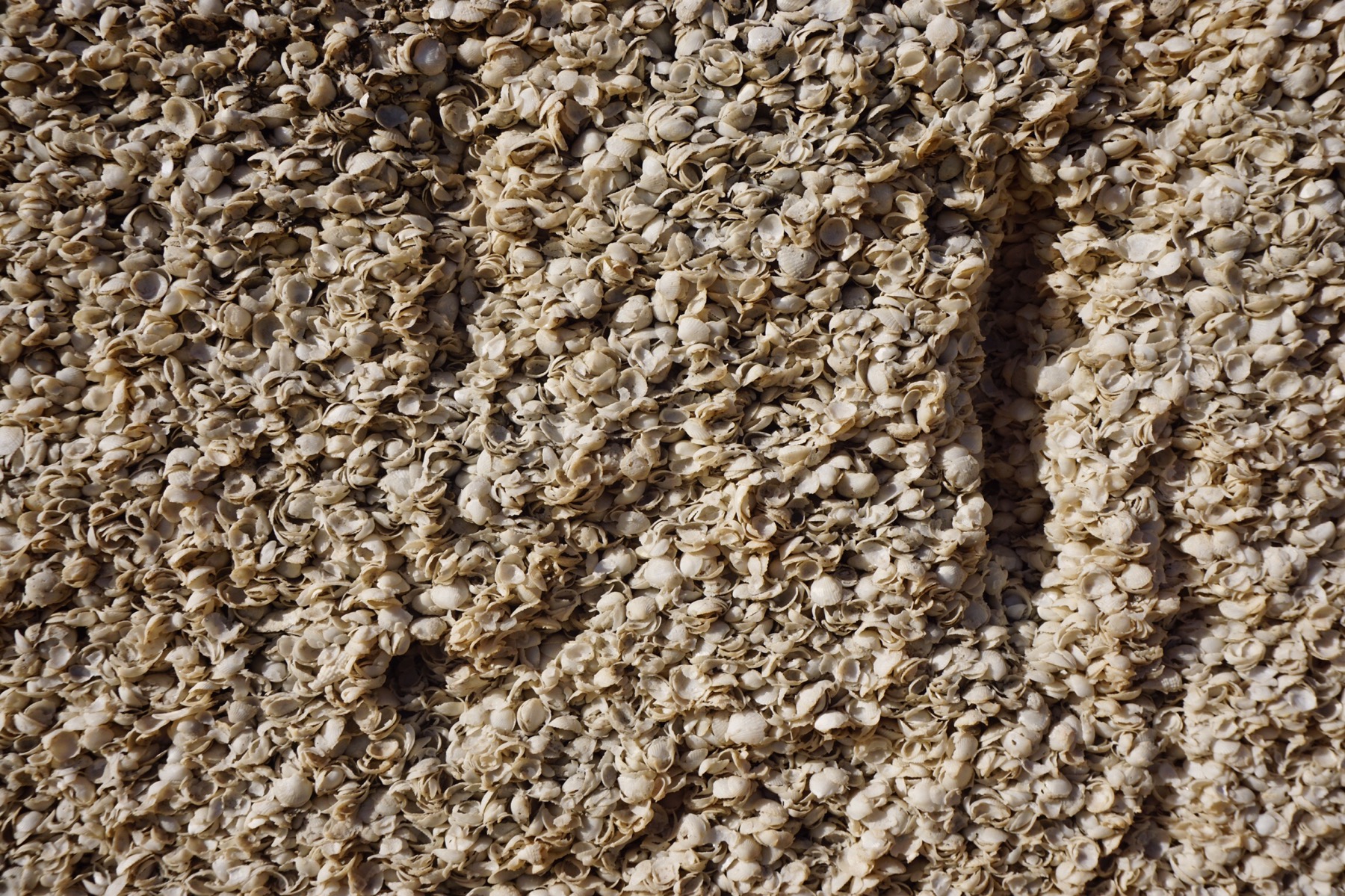
The beach on which we were cycling was made entirely of miniature white shells, a particular type of cockle which grows prolifically in this area. In one area we passed through quarry from the 1800s, where the original settlers in this area had cut bricks from the compacted shells to build their homes.


We returned to Hamelin Station and explored the beautifully landscaped grounds and onsite lake, rich in birdlife.

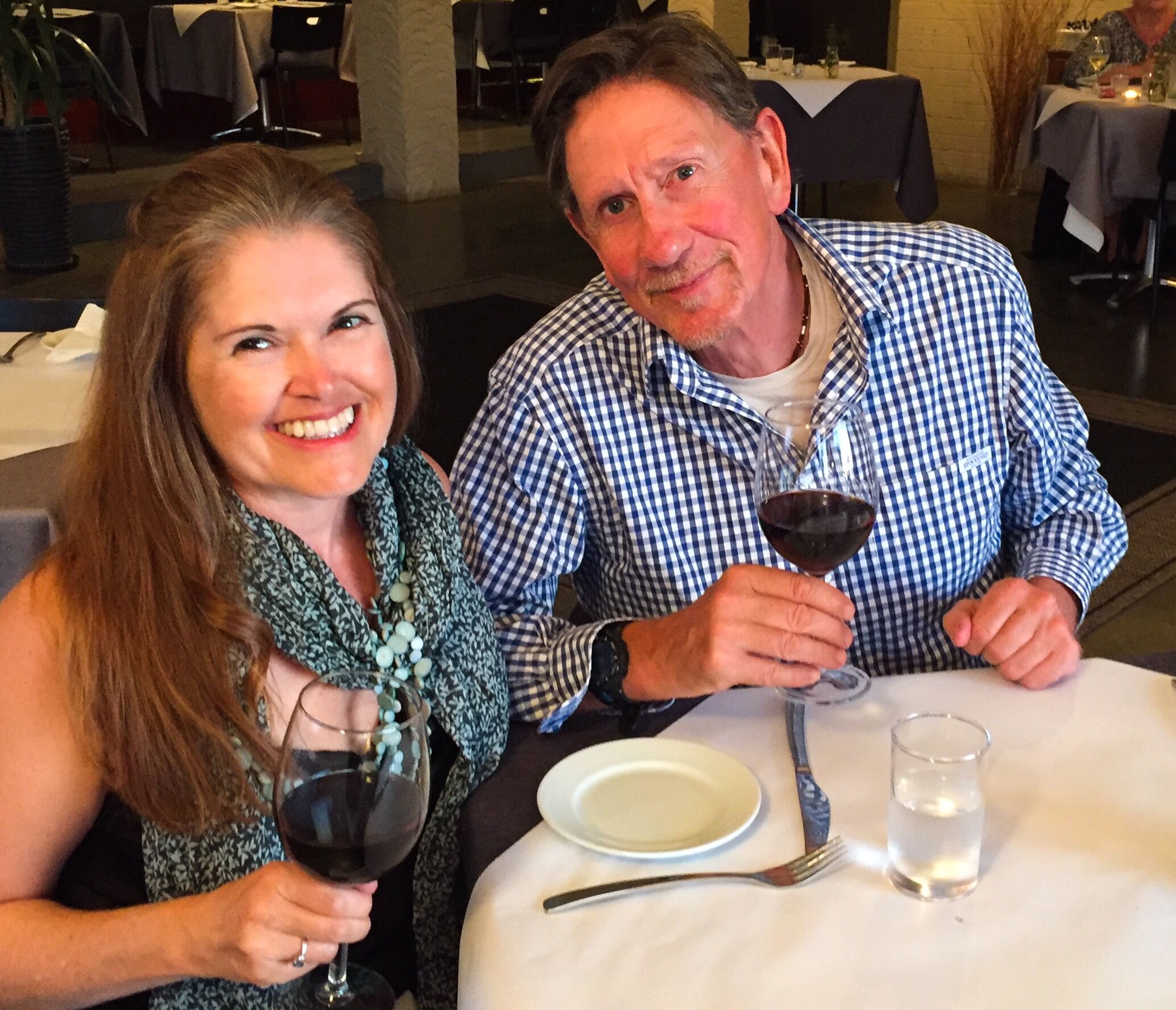
Before long it was time to pop the cork on our prosecco and raise a toast. On this day 15 years ago Mark and I became Mr and Mrs Anderson, supported by many friends and family at Taronga Zoo in Sydney. Laura and Nick came over to join us, bringing some dips and biscuits, and we set about realising just how many people we know in common. Mr A and Laura in particular – Laura previously worked for SAS and Mr A worked closely with a number of her colleagues in his KPMG days.

We finished the evening under the shooting stars around the campfire with several good bottles of red. A fine end to an anniversary date!

Day 77: 14 August – Stranded in the Kennedy Range

Author: Mrs A

Distance driven: 230 km

We awoke to drizzle and low cloud, and set about packing and hitching up to the car ready to move on. After a quick visit to the Asian grocer for a few ingredients and the camping store for a replacement gas bottle, we headed inland, first to Gascoyne Junction and then across to the Kennedy Range National Park.


The Kennedy Range is about 160km from the coast, and rises up out of the flat desert region. Like many of the other gorges we have visited, these hills are formed with layers of sandstone and shale, formed from an uplifted ancient sea bed. Apparently there are marine fossils to be found in the sandstone.

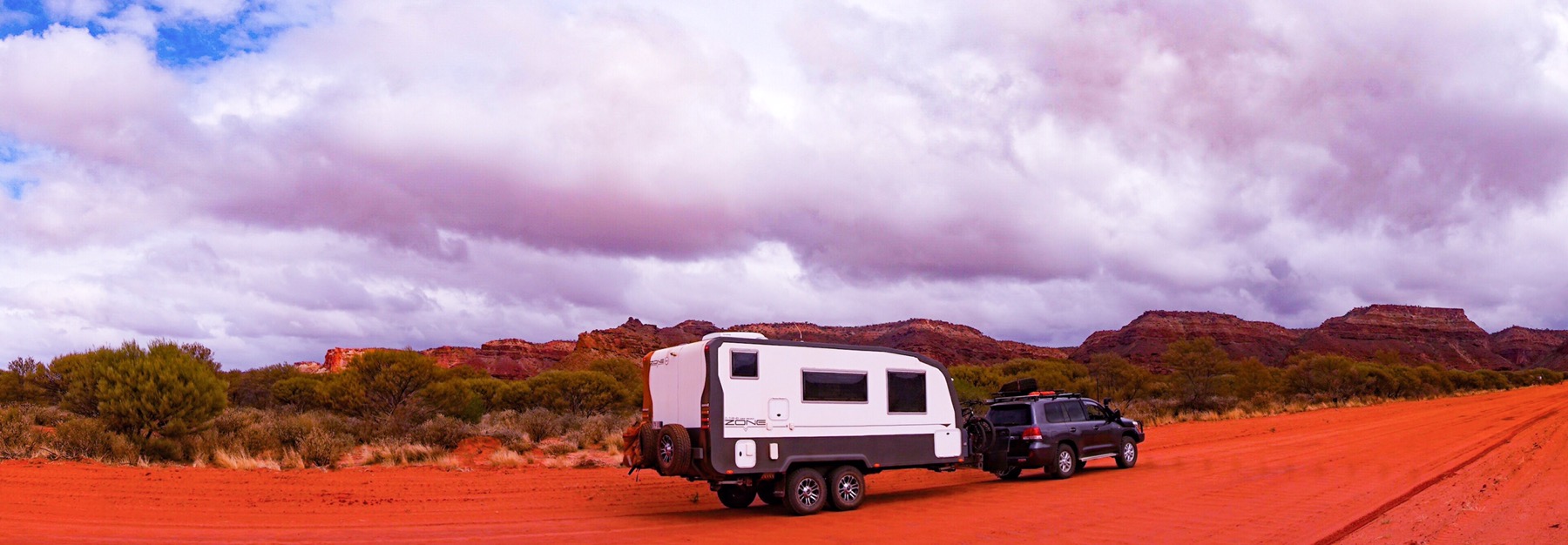
The rain followed us the whole way inland, the landscape looking quite surreal with pools appearing beside the road and flocks of birds going crazy for the water. The area we are in is considered arid and very rarely experiences rain outside of the November-March period. Lucky us! As we drove along the red roads into the campground the cloud lifted and the sun shone on the ranges – they looked spectacular with dramatic skies all around.


We found ourselves a good spot right near where the walks start and settled in to make lunch. Before we knew it the clouds had closed in and we were in for a very wet afternoon. We didn’t emerge from the mobile apartment for more than five minutes, enjoying an afternoon of reading and basically relaxing with the sound of the rain on the roof.

At around 5.30pm we had a knock at the door. One of the volunteer campground hosts came round to let us know that she’d just got off the radio with the National Parks office, and they had advised her that all roads in and out of the ranges have been closed due to the rain. We are stranded – couldn’t leave if we wanted to! Apparently the roads are shut after as little as 4mm of rain, and we have had much more than that. We are not planning to leave until Wednesday, so hopefully they dry out tomorrow. The forecast is for increasing sunshine, which is just as well as we now have one day to do all the walks and make up for today’s laziness!

Day 75: 12 August – Market day in Carnarvon

Author: Mrs A

Location: Carnarvon

Distance cycled: 20 km

Saturday morning meant the long awaited market day had arrived. Carnarvon is the centre of the fruit and vegetable growing region, and today marked the final day in a week long celebration ‘Food week’. Just by chance we happened to be here – usually we arrive a week after these events, hearing tales of how good they were. So we jumped on our bikes and rode the 5km into town and the markets, with mediocre expectations. They were good! Not quite as good as the Forestville farmers markets we experience in Sydney, but also not as bad as the ‘markets’ in Derby with three market stalls, two of which were selling doilies…

Incredible varieties of home made jams and preserves (we bought a green mango chilli jam – yum!), plus well priced vegetables and fruits freshly picked.  There were some celebrity chefs cooking chicken, meatball and catfish dishes, all served up for free, and even the TV cameras there to interview blokes in jackets – presumably regional Western Australia celebrities.


We purchased as much as our fridge could cope with and jumped back on our bikes to continue exploring Carnarvon. We rode down to the water and across an old jetty, still sporting rail lines. This, we then learned, led to a 3km ride across salt marsh to one of Carnarvon’s tourist highlights, One-Mile-Jetty, where you can ride an old train out to sea, around a mile for $5. We gave that a miss and rode back to camp with our purchases.


With 20km under our belts we felt a little peckish and decided to try out some of the local seafood. We picked up some fish and chips, bringing them back to the mobile apartment to consume. By now the wind had picked up and we had heard rumours of bad weather approaching. We weather-proofed the caravan. The fish and chips were ok, but nothing to write home about. Very average.

The afternoon was spent competing tasks – washing bedding, washing the car, supermarket shopping. The wind got stronger and the blue sky disappeared.


A very chilled out evening eventuated as the wind dropped and the rain arrived. It is still warm, and the rain seems to be in showers only – just enough to ensure our sheets don’t dry!

Day 73: 10 August – Just another day in paradise

Author: Mrs A

Location: 14-Mile Beach, Warroora Station

Distance hiked: 11 km

We decided to stay away from so called ‘civilisation’ today and remained on the station. After a delicious Mr A special for breaky (bacon and egg sandwiches), we drove to ‘Turtle Rock’ (our mid way point from our last big walk here), a headland along the coast, and left the car there, walking north on new beaches. These beaches were more rocky than those near the camping areas, but certainly no less beautiful. Unlike our walk a couple of days ago, the lagoon had waves rolling into shore, making for a completely different scene. The turtles continued to emerge frequently to take their prescribed three breaths before diving again to hunt on the reef, often seen bobbing through a breaking wave. Surfing turtles. Not something I thought I would see!


We did not see another soul today, the only evidence of other life being the wild feral goat hoof prints, dingo paw prints and the unmistakable kangaroo tail and feet imprint upon the sand dunes… 

We stopped for some fruit and almonds at our mid-point, enjoying a scenic location on the beach. Our first choice of snack stop was right beside an Australian Pied Oystercatcher nest – we only realised once I spotted we were getting dirty looks from the black and white birds. Their clutch of three eggs was well disguised but the ‘nest’ was no more than a roughly scraped out dent in the sand.


We returned to camp via ‘Telstra Hill’ for a quick check in with reality (and downloading of recipes for tonight’s dinner), and then back to start preparations as the sun set. Tonight we have honey-mint-rosemary marinated lamb cutlets on a pumpkin hummus with sweet potato chips and peas. I am certainly going to miss the view out of my kitchen window when we move on.


Entertainment wise, I think we are reliant on some free DVDs from Australian Geographic and some dodgy copies of movies such as ‘The Matrix’ gifted to us many moons ago…

We are saving this location in our memories as a very special place…who knows whether we will ever return? Tomorrow we depart and head south to Carnarvon, the capital of the fresh fruit and vegetable growing of Western Australia. I have high hopes (imagining French style fresh fruit and vegetable markets), Mr A has low hopes (based on our experience so far and thinking all the good stuff is shipped to Perth and elsewhere and its a long way from France)…

Day 71: 8 August – Weather!

Author: Mrs A

Location: 14-Mile Beach, Warroora Station

Distance hiked: 3.5 km

Weather: Scattered clouds all day, wind and rain from 9pm

I’m writing just after 9pm and so excited to report we have our first experience of weather since mid May! Yes, I know that if you are in the northern hemisphere or southern part of Australia you don’t really understand, but where we have been travelling for the past two months it has been pretty consistent – blue skies during the day, clear starlit skies at night. Every day, every night for 70 days and nights.


Today we awoke to blue skies with scattered white clouds. This was unheard of for us, and we were very excited. I even got out our weather station – first purchased as a Christmas present from a long out of business company (Gowings) for Mr A about 14 years ago, it is famously always right. 

Straight out of the drawer it forecast sunshine with scattered clouds…impressive…but not long after being released from captivity it changed, forecasting rain, with a drop of -3 in the pressure system, showing us it was serious. Rain at this time of year in this area is virtually unheard of, so I somewhat pooh-pooed the forecast, but Mr A took it more seriously, recognising the times in the past it has saved our bacon.

We continued with our day. After paying for another 3 nights here (yes, $60!), we visited the dump point (toilet and rubbish) and then the famed ‘Telstra Hill’, where we could get uninterrupted phone signal. There we spoke to a caravan repairer in Perth about our issues and organised a date for repairs, booked Miss Tassie (our 13 year old Burmese cat fur child) on a flight over in September, and uploaded some blog posts.


After a salad for lunch we decided to explore south, driving to Sandy Point and then walking along the beach. The colours were spectacular, and at low tide, the beach scattered with perfect and stunning shells. Such an interesting location. 

We returned in time for sunset. I predicted it would either be spectacular or a complete fizzler due to the clouds – and sadly it was the latter – no sunset to note. It went down. It got dark. We retreated to the caravan to hibernate, Mr A first packing away the BBQ and chairs, despite the clear starlit sky above us. If the weather station says rain, then beware…


So. 9pm and we suddenly notice the caravan is rocking with the wind, and are then aware of the torrential rain blowing from the sea. All I can hope now is that it is washing off some more of the orange dust we have accumulated over the past couple of months. I am really ready to have a clean mobile apartment again.

It feels very cosy, and I’m pleased Mr A trusted our weather station once more…

Day 69: 6 August – $20 rent for a multi-million dollar view

Author: Mrs A

From: Cape Range National Park, Mesa Camp

To: 14-Mile Beach, Warroora Station, just south of Coral Bay

Distance driven: 216 km

Distance hiked: 4 km

Footsteps from a soft fine white sand beach bordering the world heritage Ningaloo Reef, panoramic turquoise water views, fall asleep to a million stars and the sound of the surf breaking 1km away and the gentle lapping of the rising tide on the sand just metres from your bed…all for $10 a head per night. Not bad eh? This is tonight’s camp spot – we think potentially the next two nights as well, given we are well stocked up on water, wine and food.


We rose early and went for a walk along the beach near Mesa Camp, in an attempt to savour the last of the beautiful location, unsure of where our day would take us. We then packed up and pulled out of our campspot at the allotted 10am departure time, heading back into Exie to fill up on water.

From there, we headed south to just south of Coral Bay. We skipped Coral Bay itself – even the Lonely Planet WA book suggests it is extremely overpriced and overcrowded – and decided to be self sufficient for a few days, ‘wilderness camping’ on a sheep station. Warroora Station clearly has been offering camping for some time, with a camp host (volunteers who stay for free and certain perks, welcoming visitors in, taking their money and allocating sites) and a number of camp areas along the coast. We missed out on the last beachfront site by seconds, and instead opted for an ocean view spot on ‘the ridge’. The Ridge is actually only slightly up above the beach (about 5 metres!) on top of a sand dune. Sites are quite large and the views commanding. There is very quick and easy access to the beach, and we are very happy with where we are. 


We had a short walk along the rockpools at low tide – so many interesting shells and creatures, beautiful green crabs and even a huge octopus trapped in a tiny pool, biding his time until the tide came back in. We thought of that time with Jenny and David when we rescued a moray eel from a similar situation…


We watched the sun set with a glass of Pino Grigio and then enjoyed a Thai green curry with the last of our Netflix. We haven’t seen good broadband download speeds in a long while, and have now run out of entertainment…what shall we do now?!

Day 67: 4 August – Diving the Navy Pier…with sharks

Author: Mrs A

Dives undertaken: 2 plus 1 in a swimming pool

Water temperature: 21.5 degrees C (brrr)

Wetsuits worn: 2.5

Mr A and I went out separate ways for the day as I had booked a couple of dives on the Royal Australian Navy Pier, considered one of the top 10 dive sites in Australia. I haven’t dived in a few years, so I was picked up shortly after 8am to do a refresher dive in a swimming pool, remembering how to remove and replace my mask, weight belt and BCD and tank underwater, and how to do an equipment and buddy check.

I had a brief 40 minute break in between that and being collected again, where I quickly ate breakfast and collected some extra layers.

11am the bus returned to collect me plus a few others to do the dive proper. In total there were 15 people doing the two dives and we were paired up with a buddy with similar experience. I got paired with a very tall bearded Simon from Denmark, who had learned to dive in Danish waters, no warmer than 2 degrees!

There was a lot of briefing involved in order to prepare us for this dive. It is located on active Naval land so we had to hand fill out a form with our name, address and date of birth, ensuring it accurately matched our photo ID. It took the 15 of us three turns to fill in this form with no errors! We then had to drive to the Naval base for the key to the pier, and line up at the side of the road while a man in a bullet proof vest with a gun checked us off against the form. Once on Navy land, there was a no photography rule until we reached the pier…not that there was really anything to photograph…

As we arrived at the pier we were immediately entertained by three humpback whales swimming past, just 50 metres off shore – just magical, and a sign of things to come. We we-suited up and climbed carefully down two flights of metal steps (not soft underfoot when you are carrying a heavy tank on your back!) to the platform. 

The jump into the water from the platform is about 3 metres, and it looks much further. It’s important to keep a hold of your weight belt and mask to ensure they don’t get lost on the jump down. I took a big stride off the pier and I was in. They then lowered all the cameras down to us via a hook. There were a lot of cameras – almost every diver had one, and I watched with dismay as mine was accidentally unhooked and sank down to the bottom of the ocean! Oh no!

We descended down the line to almost 12 metres below the surface and began our exploration. The sea life was incredible, just like I would imagine swimming in an aquarium. Every surface of the pier’s structure is covered in sponges, corals and fish of every colour and shape imaginable, huge shoals of fish visible everywhere – above, below and beside you as you fly gently through the water.


The sounds are of clicking and crunching shells, as we see fish attacking clams for the sweet meat inside. All this time, however, I was also anxious for my camera, which we hadn’t seen once on the ocean bed. Before long, it was time to ascend for our shore break, and another workout as we carried our heavy tanks up a ladder out of the water, and back up the two flights to the top.

We had a cup of hot soup, connected our breathing devices to a new full oxygen tank, and got ready for dive two. I was handed my camera, to much relief, by another dive guide who had found it and carried it around with her during the first dive. I decided to not put it on the hook this time, and attached it firmly to my wrist and again stepped off the pier. This time I lost both my fins! I watched in dismay as they both sank to the bottom of the ocean. Swimming with no fins is not fun at all! Fortunately a replacement pair were found for me, and again we descended.

This time the dive was even better than the first. We explored much further, seeing groupers, a grey nurse shark, a white tipped reef shark, moray eel, octopus, lion fish, flat worms (sound uninteresting but are stunning)…the list was endless.


A brilliant dive site, mishaps aside, and much fun had by all. We ascended for our final time and packed away our gear. Out came a cry ‘Manta ray!’ And another, and we all rushed to see at least seven huge mantas swimming just below the pier. They were huge beautiful fish, swimming on the surface like giant black rippling birds. Just incredible.


It was impossible to capture the mantas on camera as it was into the sun, but believe me, it was wonderful.

I returned on a high to camp to find Mr A on the phone to the bank trying to organise new cards. This is how his whole day had transpired, after realising he had lost his wallet on yesterday’s boat trip – farewell Medicare card, drivers licence, the lot – probably also at the bottom of the ocean somewhere. A far less enjoyable day for Mr A.

We ended on a positive, however, enjoying a delicious meal out at a local restaurant; Whalers. Crocodile wontons and a smokey grilled kangaroo loin for me, soft shell crab tacos and a reef and beef for Mr A, thank you very much – delicious!

Day 65: 2 August – Exploring Cape Range National Park

Author: Mrs A

Distance hiked: 8 km

Distance cycled: 8.5 km

After a morning of housekeeping (doing the laundry and making use of the free wifi to download some more Netflix) we headed off in the car 20 minutes south of Exmouth (hereby nicknamed Exy – i.e. expensive) and into the Cape Range National Park, driving up into the range itself. The wind had finally dropped, making for a much more pleasant morning.

We’d read about the Badjirrajirra walk online, with people raving about how stunning it is, a circuit leading to a lookout over a ‘mini Grand Canyon’…we had high hopes. I think we have been truly spoiled by the Blue Mountains and the incredible hikes around where we live, as, while I don’t deny it was a pleasant walk, it wouldn’t make my top 100.

High up on the range, it started at a lookout and lead off along the top of the range, through a largely barren, rocky, spinifex filled landscape. There were no flowers, extremely few birds (we saw two in nearly 3 hours!) and the national park authority had offered no information to educate us on the landscape. After about 90 minutes we reached a lovely unofficial lookout where we stopped and enjoyed a cup of tea and an apple, marvelling at the view. It was just as well we stopped there, as the official lookout was closed due to risk of sinkholes.


Given there was no information provided, a quick Google on our return educated us. We learned that here we were looking out onto Shothole Canyon – apparently named in the 1950s after the shot holes left in the canyon walls after explosive charges were let off in the search for oil. Nice!

We returned to Exmouth and decided to finally see the coastline, jumping on our bikes for an explore. Exmouth was on form as we headed down a road that looked like it headed right to a beach – surprise surprise, all the beach access points were shut due to someone burying asbestos in the area!


Instead we continued on and explored a new development, some extremely large houses, most of which enjoy water access and private moorings. It was rather interesting. Mr A later found out that many are owned by people in mining, some local business people made good, and mostly they are for holiday rental.


We returned to camp for hot showers and dinner. Not too bad a day! Off on a boat trip in the morning…lets hope the wind keeps calm and the whale sharks are cooperative!