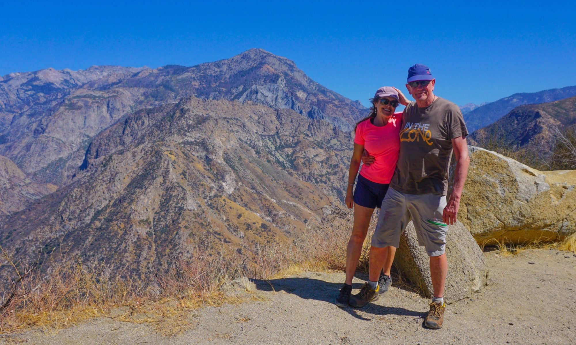
Author: Mrs A
Location: Wentworth, NSW and Chowilla Game Reserve, South Australia
For this post, we recognise the Barkindji , Maraura and Ngarrindjeri people, throughout whose land we travelled the past few days, and thank them for their custodianship over many thousands of years.
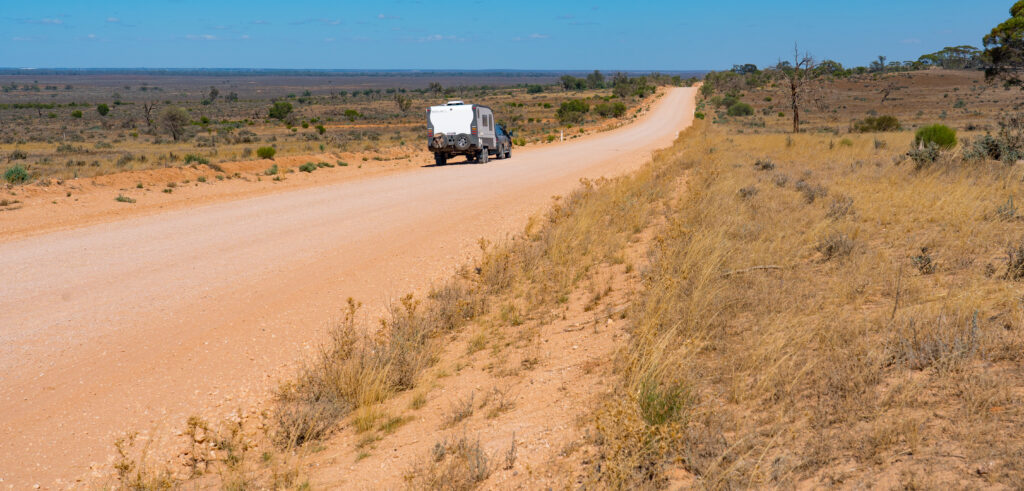
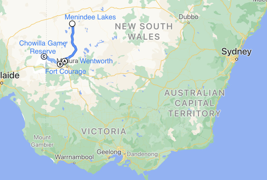
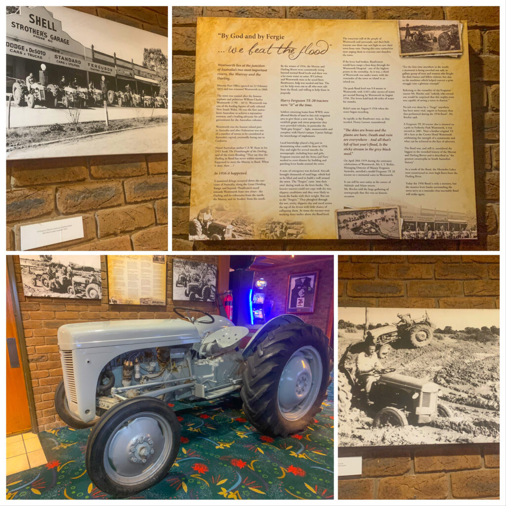
We left the Menindee Lakes, taking a road through the national park which led to the Silver City Highway. The description of highway makes this road sound far grander than it really is – a two way tarmac covered road – though in its defence, it is a long one – over 600km linking South Australia with Queensland via Broken Hill. From here we headed south, making it to a carpark in the little town of Wentworth, located where the River Darling and River Murray meet.
Wentworth was an important settlement because of its riverside location and at one stage was New South Wales’ busiest inland port. It even made it on to a short list to be considered as location for Australia’s capital city! Today it’s a small, neat town with a sleepy feeling. We enjoyed dinner at the local pub.
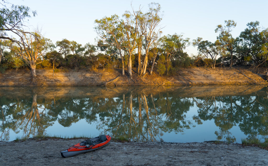
The following morning we moved a few kilometres down the road to a rustic camp called Fort Courage. Apparently named after a brewery which once stood here, it is now mostly a sprawling collection of fishing enthusiasts’ caravans on the banks of the River Murray.
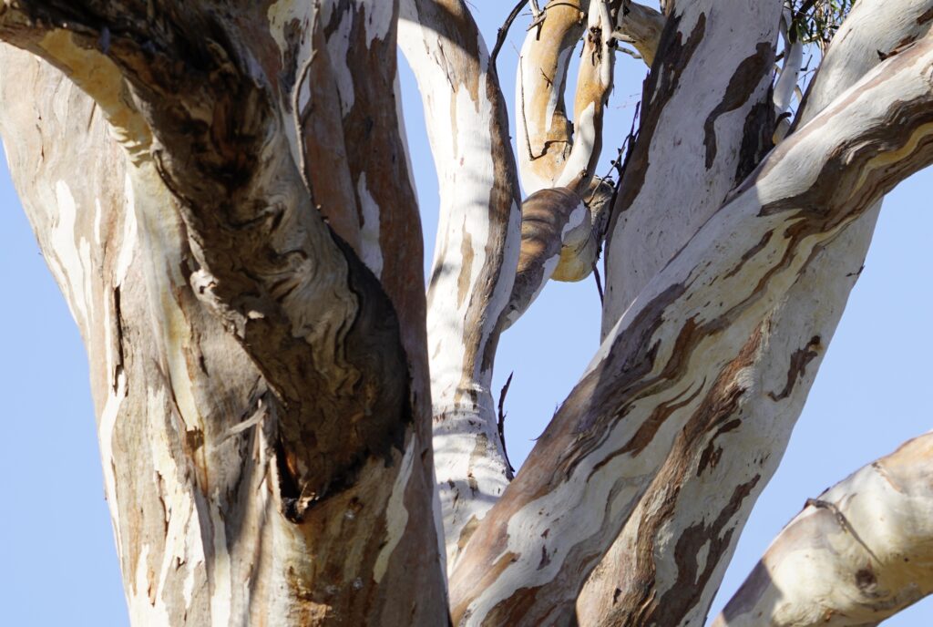
With no drinking water, but filtered river water to shower in, it was a good spot to stop and clear some of the dust out. We were dying for a walk, but there was nowhere to explore – a few metres from the river and you were back into dry, semi-arid landscape, the plants thorny and scratchy, not conducive to picking your way through them.
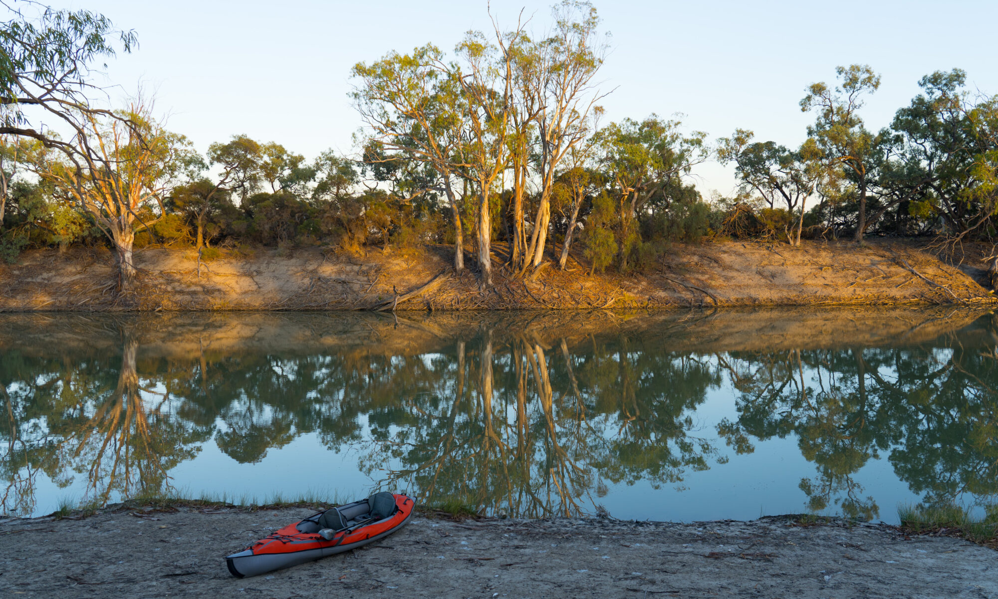
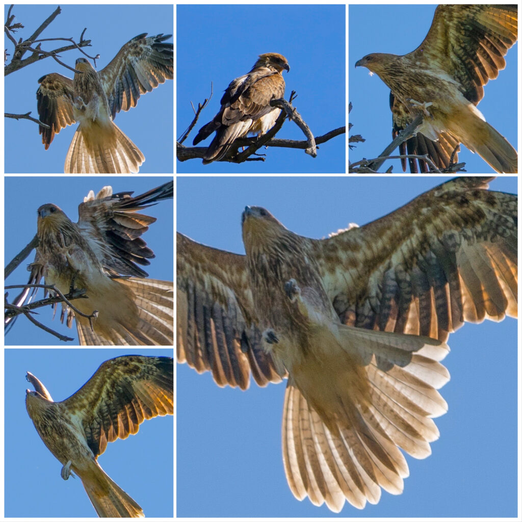
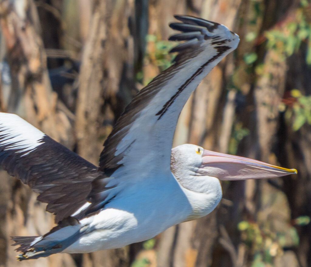
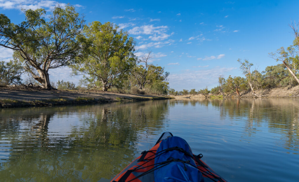
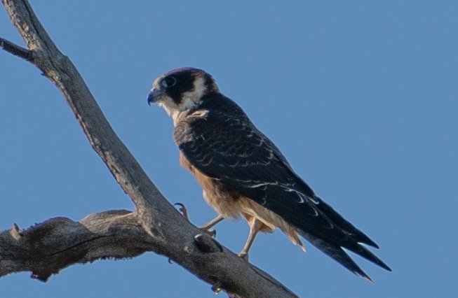
We decided to go for a paddle instead. We inflated the kayak and launched below our site, immediately appreciating the cooler breeze blowing off the water. Much of the bird life we saw was familiar, but as we drifted silently along we managed to get really close to some more unusual feathered creatures which were not frightened off.
It was with some despair Mark engaged in a chat with a fellow camper who had been coming there for 40 years. He told us about the ‘hawks’ he fed the carp to when he managed to hook one on his fishing trips. He pointed out one of the Whistling Kites soaring past – ‘there’s one’. ‘Oh a Whistling Kite?’ we asked ‘Huh?’ he responded. How someone can not have any curiosity about the species of creature they come across, I don’t know…but vive la difference. Sadly it is attitudes like these that accept extinctions and destruction of habitat as just matter of fact.
While we were out paddling we spotted two guys on a boat dredging the water and then taking note of what they caught, before releasing them back into the river. They didn’t seem like typical fishermen so we enquired what they were up to. They told us they were scientists, looking at the health of the river ecosystem. They told us they had mostly found carp and a few small golden perch. Not much else. Not to harp on about carp too much, but a story has since been released that reveals that carp now make up 97% of the fish in our waterways – it sounds pretty consistent with what they were telling us. How depressing…and how important that this problem is solved
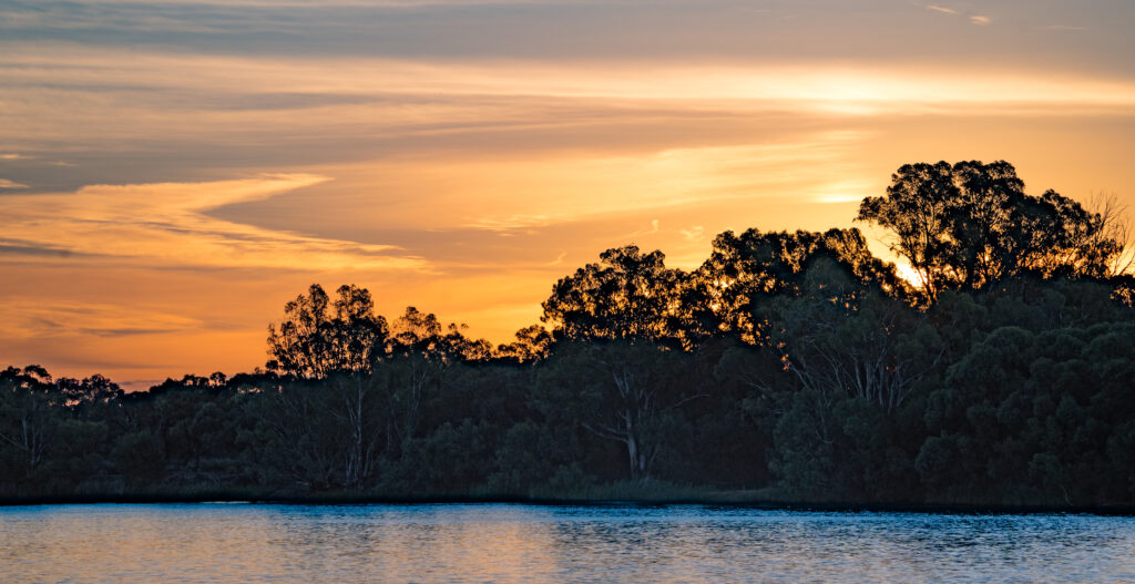
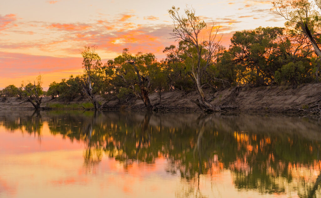
Another stunning sunset concluded our stay.
We moved on the following day, heading towards Chowilla Game Reserve, back across the border in South Australia. Before we got there, we first made a stop at Lake Victoria, still in NSW. It is a reservoir managed by Water South Australia.
In 1994 when the lake level was lowered for maintenance, a wealth of Aboriginal history was discovered. Artefacts such as camp sites, stone tools, grindstones, shell middens and hearths along with extensive aboriginal burial sites were uncovered. It was estimated that up to four thousand individual graves existed in the burial grounds. The Maraura people have been resident in this area for up to 45,000 years. Today, South Australia Water manages the site, along with local Aboriginal communities to help preserve the site.
A plaque at the lake recognises the Aboriginal people killed here in 1841 at the Rufus River massacre. While official records suggest 30 people were killed here, it is suggested the actual number is likely to be double this. For once, historical information presented seemed to be quite balanced, with copies of records from people present at the massacre as well as stories shared by survivors and passed down through the generations. As is often the case, history is written by the victors, but at least here there is some attempt to tell it from both sides of the story, a refreshing change.
We stopped for lunch, before making our way to Chowilla Game Reserve. This was a location our friends in Adelaide had recommended as one of South Australia’s premier kayaking locations. It’s a network of creeks and inlets which all feed into the River Murray, the hard to reach and remote location meaning it was likely to be quiet and definitely no water-skiers!
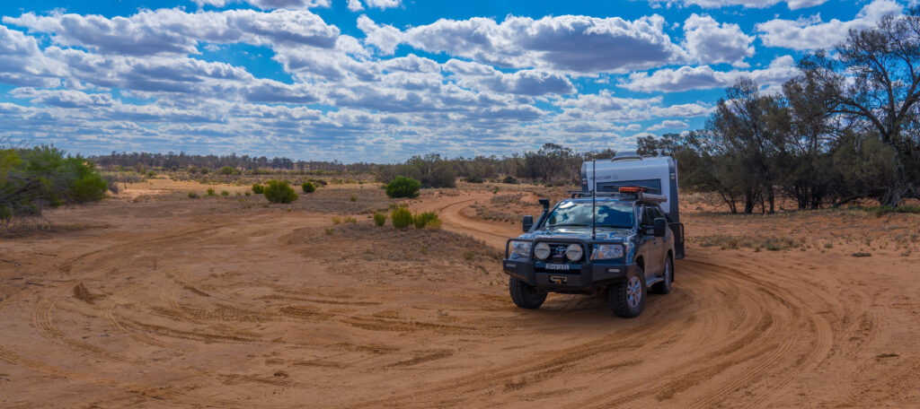
The road in was sandy and soft in places, but with our tyres already deflated to a lower pressure it was not too hard a journey to the park, although finding the entrance was a challenge in itself, with very limited signposts and a call to the Renmark information centre eliciting no help either – they couldn’t even tell us whether there was an entrance from the NSW side!
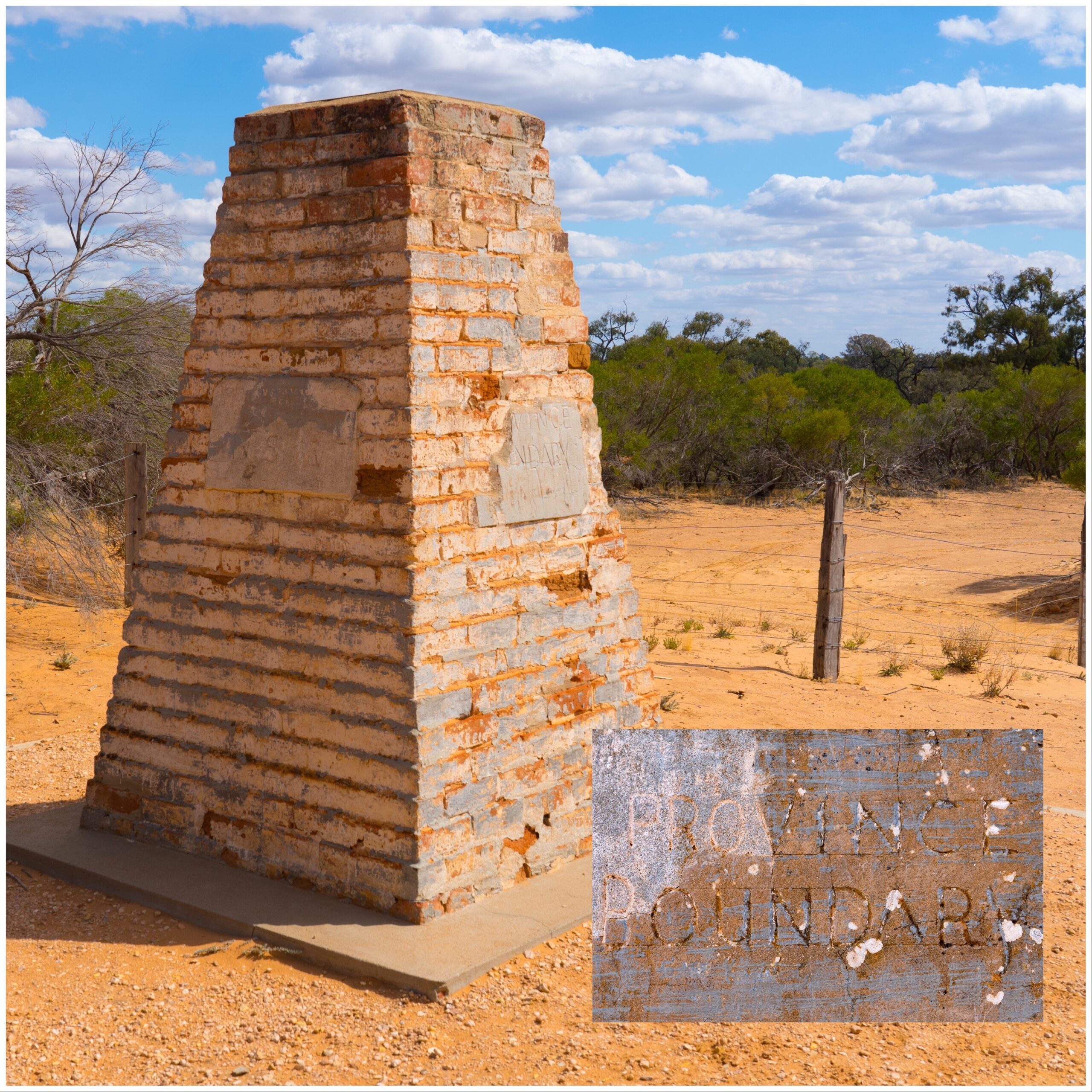
Our first landmark was a cairn marking the border between New South Wales and South Australia. It had been plotted and built by one of the founding European explorers in Australia, Charles Todd, in 1868 using astronomy. The border has been remeasured with modern appliances, and is now about 100 metres away, but the obelisk remains.
Despite there being no signs, we drove through a gate into what we believed was Chowilla Game Reserve, winding our way through some pretty narrow and rough roads. Occasionally we would spot a signpost directing to camp sites, each numbered, but they were not consistent, and we often had to take a guess at a road junction, only to spy another sign through the binoculars directing us another way. It was very slow going, taking about an hour to navigate about three or four kilometres between scratchy tree branches and find our site by the river. Whoever suggested the sites were suitable for caravan access had not driven these tracks lately!
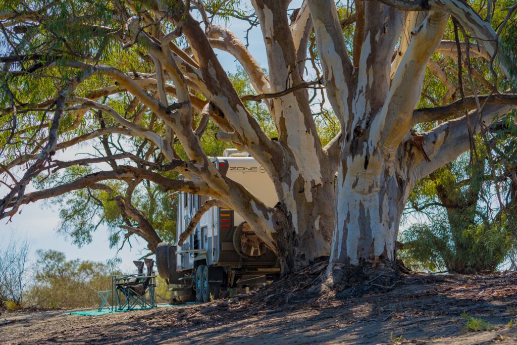
It was a relief to find our spot and park up for the night – a G&T was definitely in order as the sun went down after that journey!
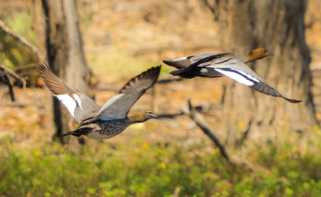
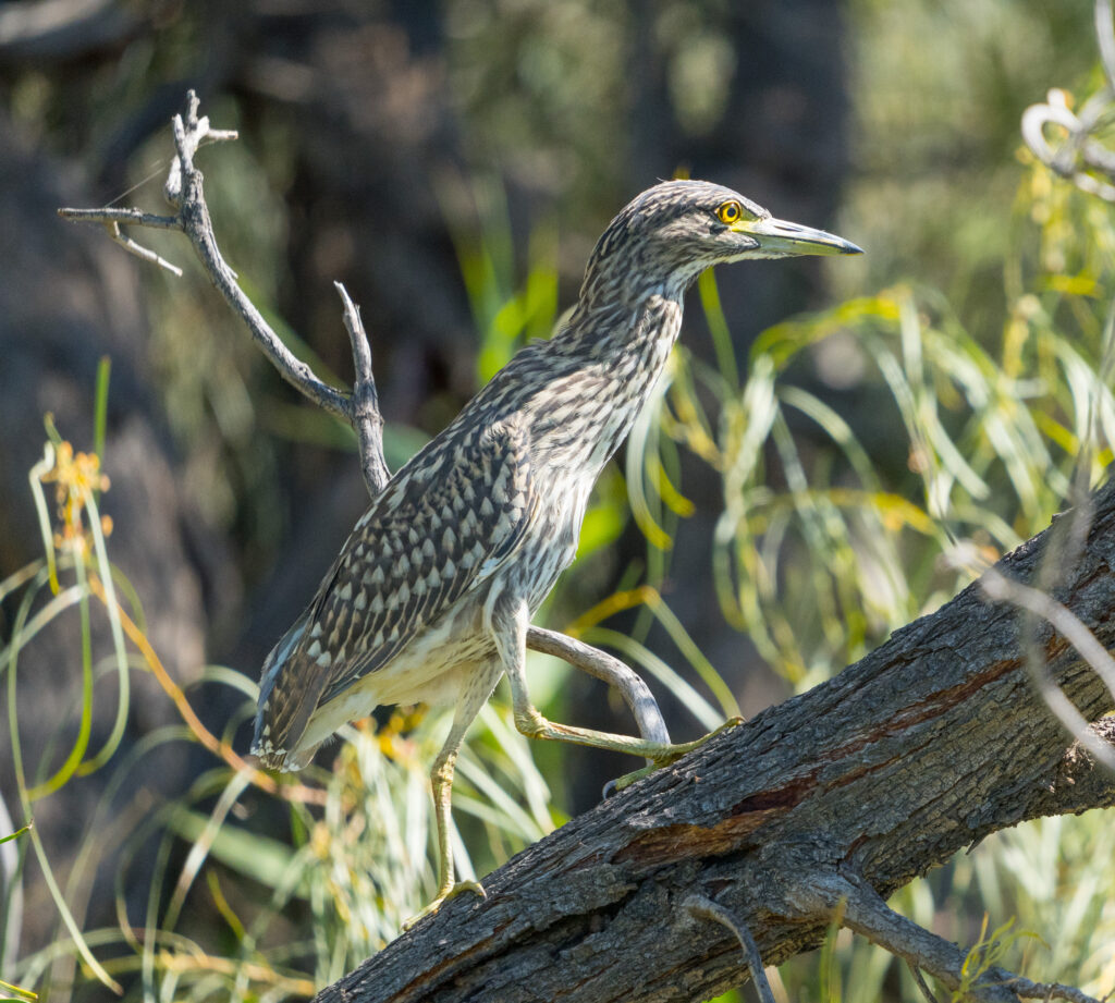
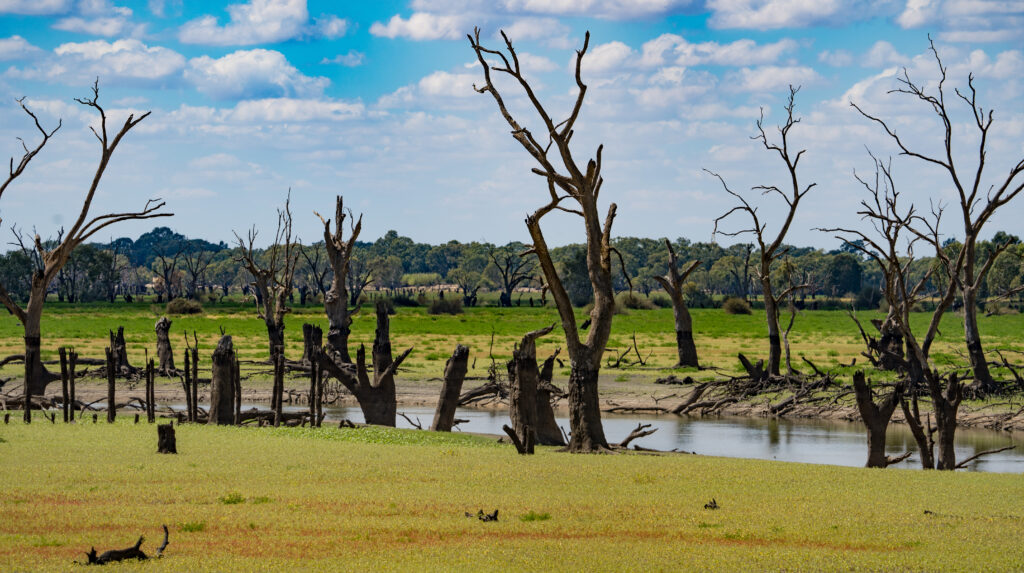
The following day we got up at sunrise and launched into the creek in the hope of seeing some birds. Chowilla Game Reserve is recognised as a Riverland Wetland of International Importance declared under the Ramsar Convention, and one of the six ‘The Living Murray’ (TLM) icon sites in the Murray-Darling Basin. This means it is an area that is actively managed to maintain the health of the floodplain, using artificial means where lack of water (due to agricultural and other human activity usage) means flooding is no longer available naturally.
Our first impression was quite eerie – usually dawn brings a plethora of bird life, but not here – there was barely a tweet. Do the birds not realise this is an important wetland? Perhaps it is the ‘Game Reserve’ bit of the name? We had been dismayed to learn that five species of Australian duck are permitted to be hunted from Saturday 20 March until late June…maybe the ducks had looked at their diaries and decided to exit stage left given this was just three days before that start date? We continued on regardless…
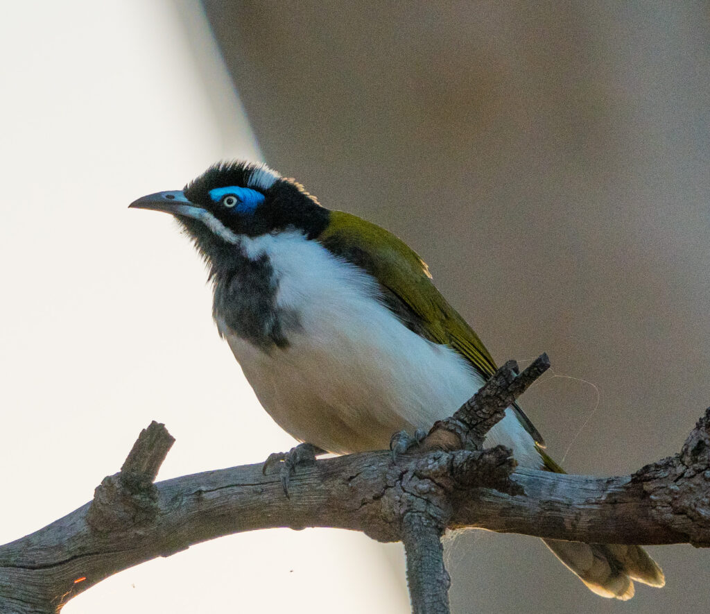
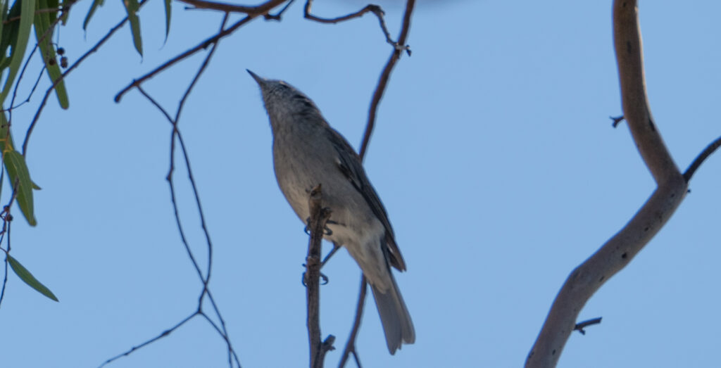
With great stealth, we silently explored the watery lanes, watching for any movement. We were eventually rewarded with some sightings…
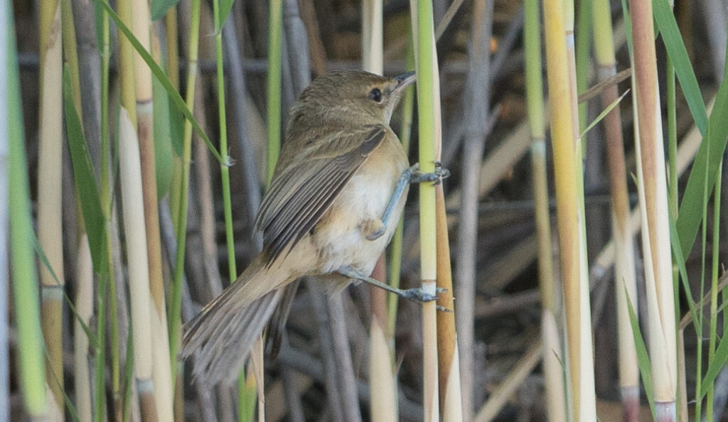
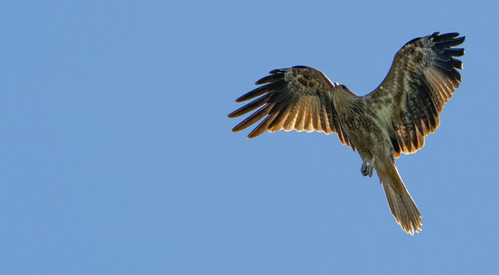
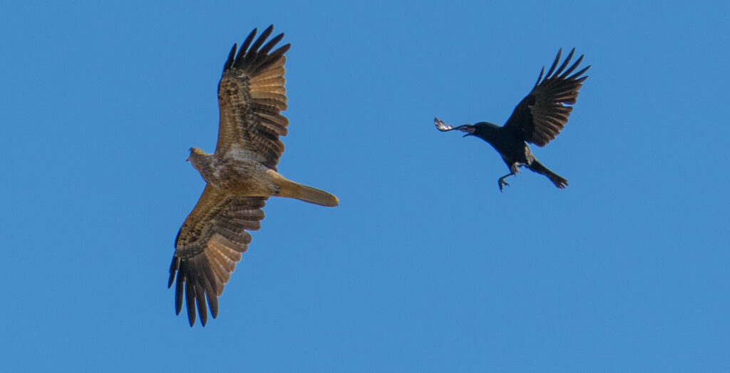
And yes, you’re probably getting bored of seeing Whistling Kites, but we had an incredible front row seat for this courageous Little Crow which chased the kite a kilometre across the sky to deter it from its nest.
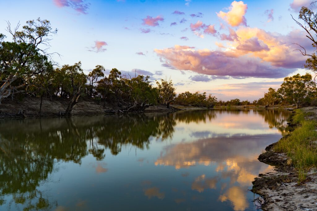
Having redeemed itself, we had a relaxing afternoon and enjoyed a marvellous sunset over the water.
The following morning we braced ourselves for the journey out, heading towards Renmark. Fortunately, other than one water crossing which we managed to divert around, the journey went smoothly, and we covered ground much faster than on the way in.
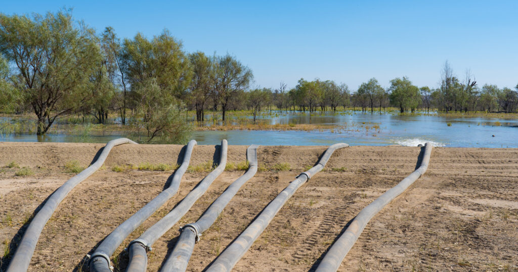
As we departed we were able to see some of the ‘The Living Murray’ work in progress. The flood plane relies on water for at least three months once every five years to survive. As the water levels very rarely ever reach flood level this is now artificially pumped. Six huge pumps were running 24 hours a day to supply this water up into this area. The contrast between this flooded area and those left dry was dramatic.
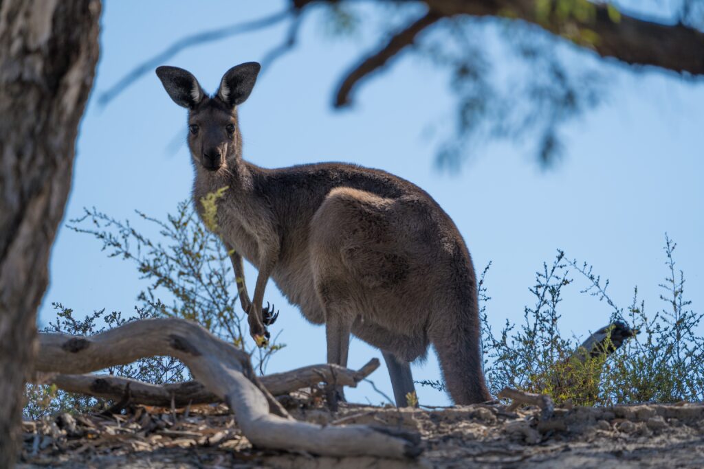
We saw just one other vehicle in our time in Chowilla, testament to how remote the park is. Again, our breath is taken away by the huge open spaces and unique landscapes Australia has to offer, and we so appreciate the opportunity life has given us to be able to travel them.