Author: Mr A
Mrs A and I recently were privileged to spend two months in Australia and New Zealand, with a quick dip into Tokyo for 3 nights. Yes..privileged. What percentage of the world gets to have 8 weeks of hedonistic travel, where they don’t need to work, cook, or clean. However, as I’m writing that, I also know people who would miss one, some, or even all of those things! We didn’t.
We spent time with friends and family who we hadn’t seen much of, or at all, since we migrated back to the UK three years ago. It was a blast. Lots of eating out with tables full of those smiling faces. Mostly we felt we slotted right back in, and were able to pick right back up where we left off. Some of them were kind enough to host us, and a special thanks to you.
But I’m going to focus in this post on just one part of the trip that I think may be of interest to others, because it was just so amazing, and friends/family reading this, may want to consider doing something similar.
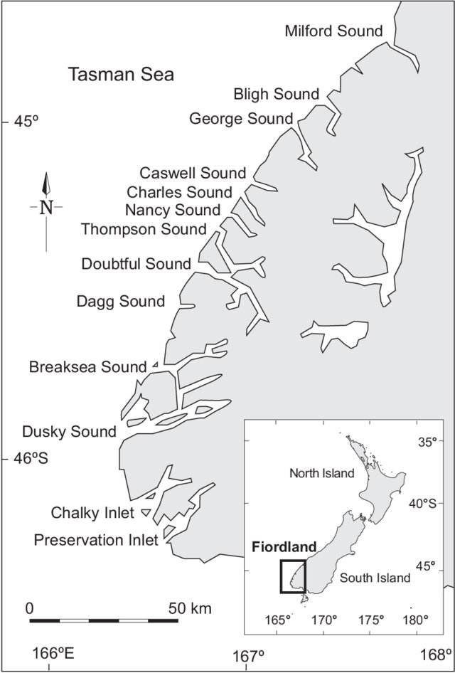
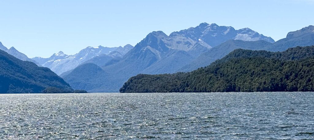
Down the bottom of the South Island of New Zealand is an area of largely untracked wilderness called Fiordland. A massive area around ten times the size of London, but with a population of just under 4,200 people, as compared to London’s 8.9 million! That’s right…there are not many people about.
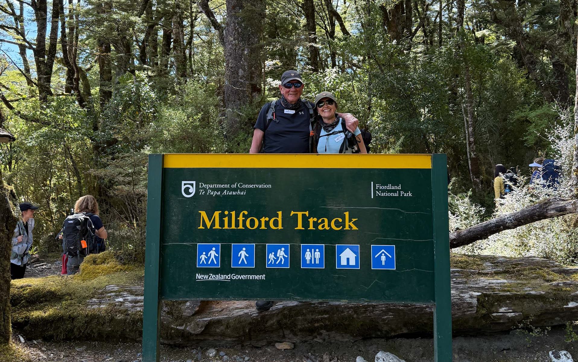
In 1888 one of the very few paths that cross it was opened up through a section connecting two of the flooded river valleys that inundate it from the coast. The Milford Track was born, and along it were built some wooden lodges for walkers.
We signed up for a five day package that coached and boated us to the start of the walk, allowed use of the lodges, fed us, guided us along the track, and included a cruise on the last day up one of the sounds. You can also walk the track independently, if you are game to be totally self sufficient getting into and out of the area, and feeding and bedding yourself on the walk itself.
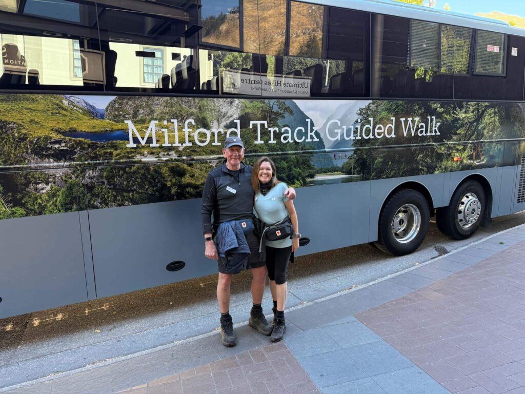
The organisation we used was called Ultimate Hikes, and what a fantastic experience they gave us. Every aspect so well thought through and delivered. Our friends had recommended them after using them the previous year to walk the track, and were doing another one in Fiordland with them while we were on ours (the Routeburn Track).
Ultimate Hikes gave us a really memorable experience, from the briefing material about what to expect on the track (conditions, challenges, what to bring etc), to the quality of the guides they hired, who were always on the lookout and ready to support people who were struggling. Given the only way out once you start the walk is via helicopter at your expense, that’s important. More of that later.
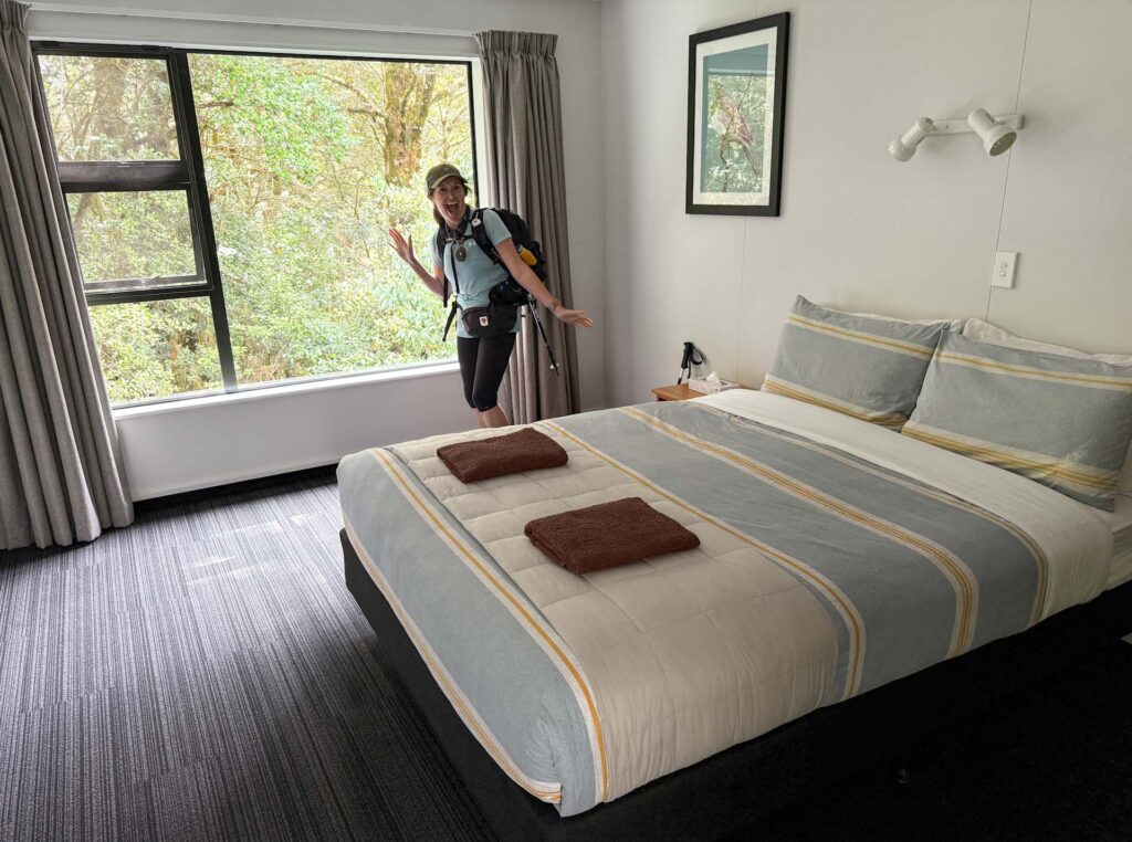
After a long hike knowing you were going to be fed and watered with hearty, high quality meals, take a long shower, maybe even have a glass of something nice…that was outstanding! The huts even had special drying rooms so we only needed to carry one change of clothes and could wash our hiking set every day. Luxury…


It was such a rewarding experience at so many levels. To be totally immersed in nature is something we love, but also to challenge ourselves and to learn more about what we can accomplish, now that was high value to us.

So what was it like? Well the question most people have is “How hard is it?”, and you will get a lot of different answers to that from people who have done the walk. I can only relay the facts, and based on that assess if you would find it easy, hard, or not something you would even consider.
We walked the following distances and altitude:
- Day 1: 5.5 km, a short stroll around the bushland surrounding the first lodge to acclimatise to the terrain and wildlife we might encounter.
- Day 2: 22 km, a wander through a stunning river valley, with 285 metres climbing.
- Day 3: 22.5 km up over a pass with 827 metres of climbing and 900 metres of descent, and finally…
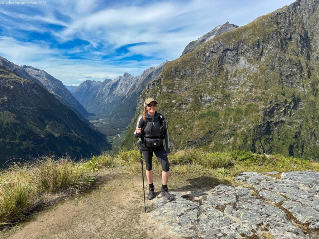
- Day 4: 28.5 km along another river valley lined with spectacular waterfalls, and just 205 metres of climbing.
The other two variables you should consider are terrain and weather. A good portion of the track is well formed and allows you to look up not constantly checking where you are going top put your next step. However, Day 3 has you very much focusing on your feet as you descend a boulder strewn path, and slippery routes with steep rocky cliffs for some of the rest.
The weather for us was dry, unusual for the Milford Track, it can often rain in torrents for the whole walk. It was 30 degrees centigrade in the sun on our big ascent and descent, and that was as hard as rain. So you have to be willing and prepared to walk in all conditions, including snow, and winds so strong you can barely stand.

How did we find it? Well …we both finished…but had quite different experiences…
Catherine describes her Day 3 with the steep climbing as the only really quite challenging one, and without me holding her back would no doubt have been up among some of the early finishers, if she had chosen to rush it. She has strong legs, great balance, and determination. At the time, she also had a 25% constricted airway, and proudly wrote a message in the walk book for any future hikers with idiopathic subglottic stenosis to inspire them to keep on going.
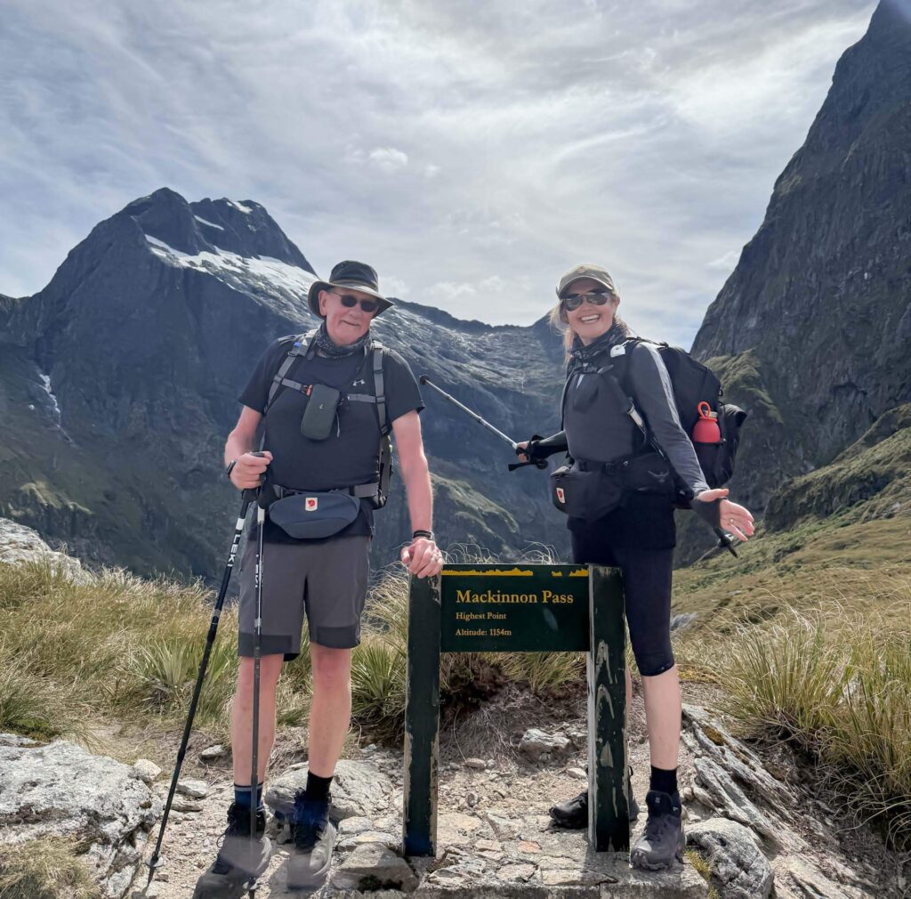
I unfortunately damaged my calf on day one, a pulled muscle we think leading to cramping, that an hour into day two became very difficult to walk on. I had to make a call, to either press on and hope I could walk through it with some treatment suggested by the guides (massage and hydration), or turn round while I could still get out by boat. Any further and it would be the helicopter and a very large bill.
I chose option 1. The cramps, or whatever it was, came and went during the walk.
The last 15 km of Day four I was reduced to shuffling along in a world of hurt with a left leg that I could barely stand to put my weight on. Less fun than you would imagine. Catherine would wait for me every so often and check in, as did the guides when they dashed past to set up for our next scheduled stop. The guides would provide sugary drinks to hydrate, and once we reached our hut there were massage rollers to help loosen the muscles. So for me it was certainly a challenge, mentally as much as anything. I knew I had to keep going. There was no option. It’s good to learn you can do that when necessity dictates.
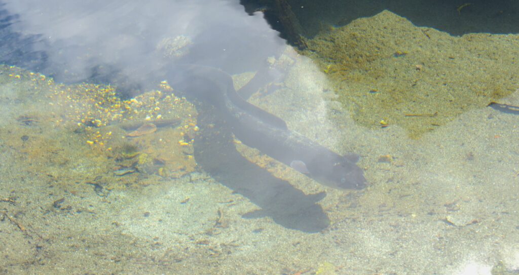
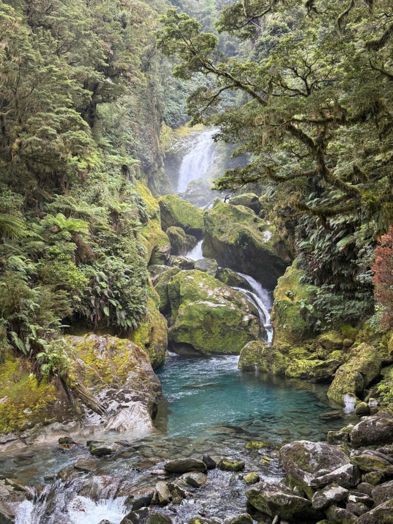
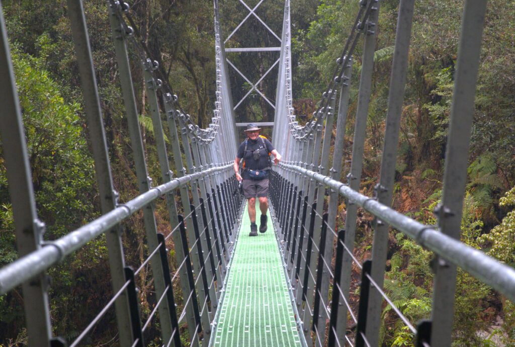


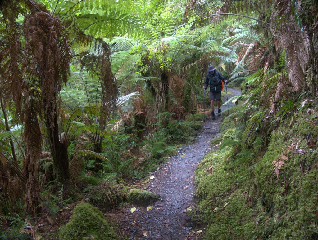
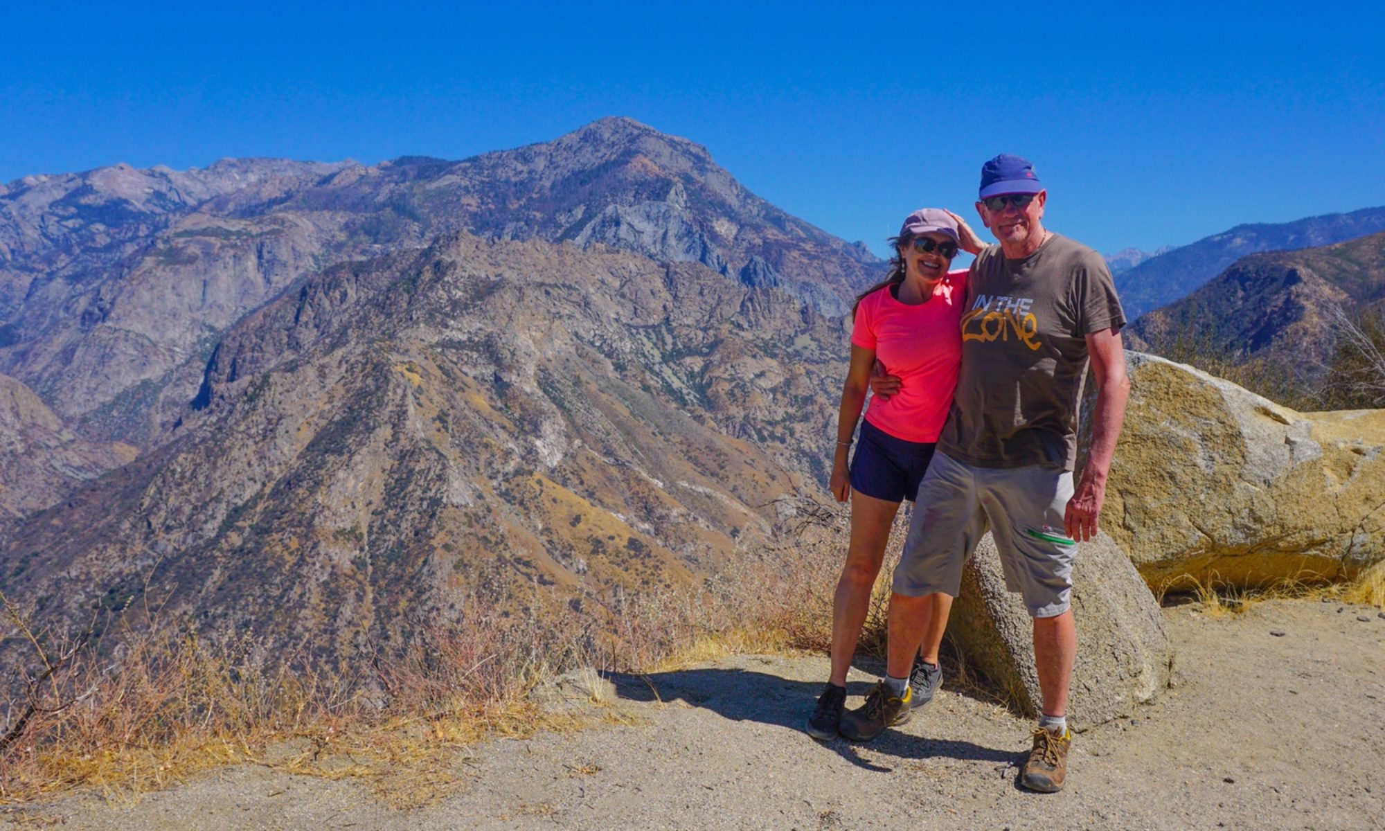
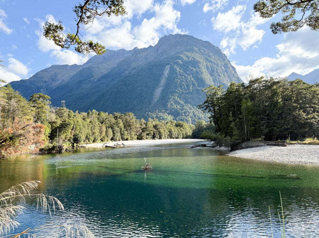
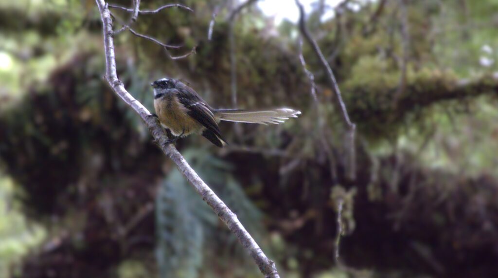
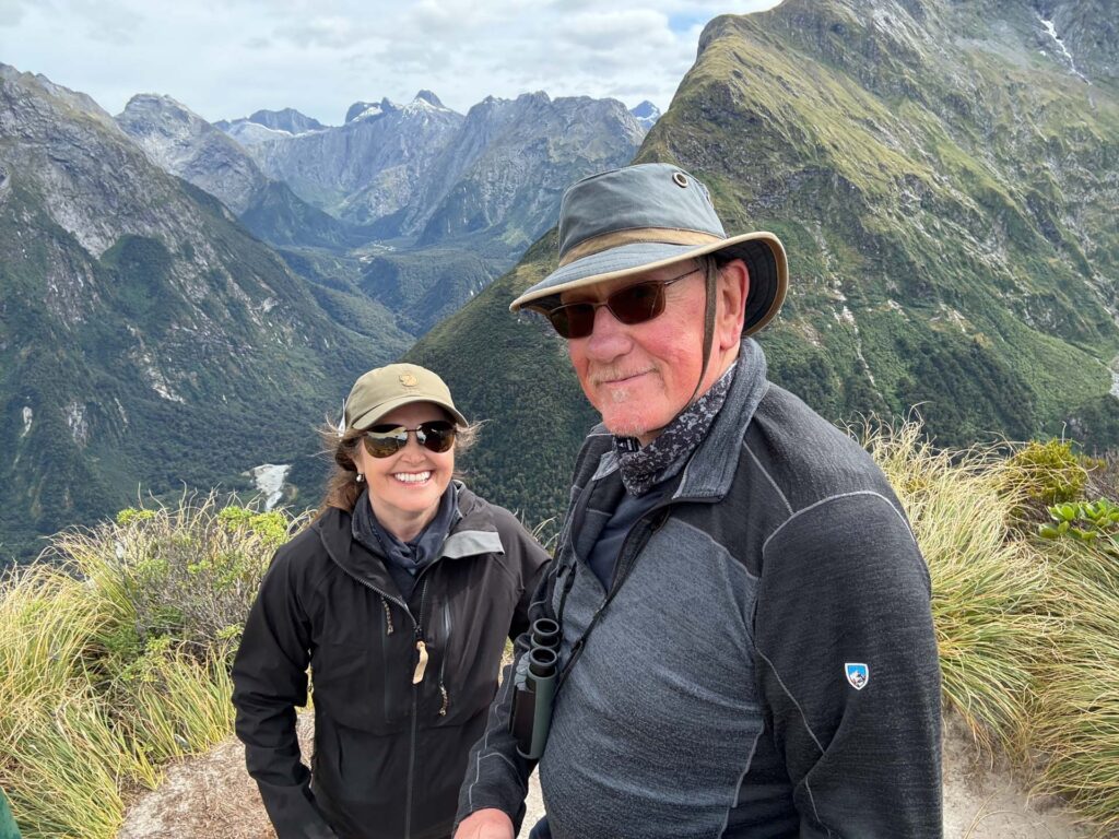
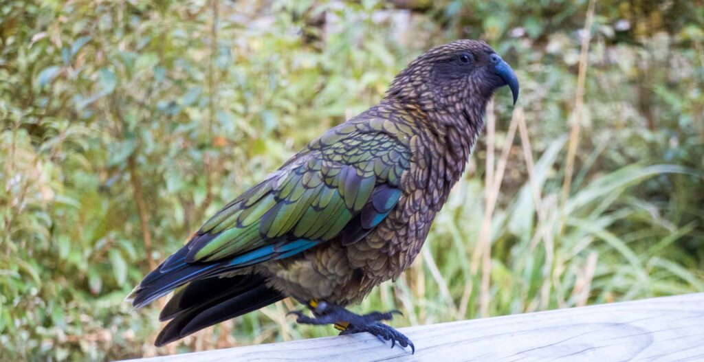
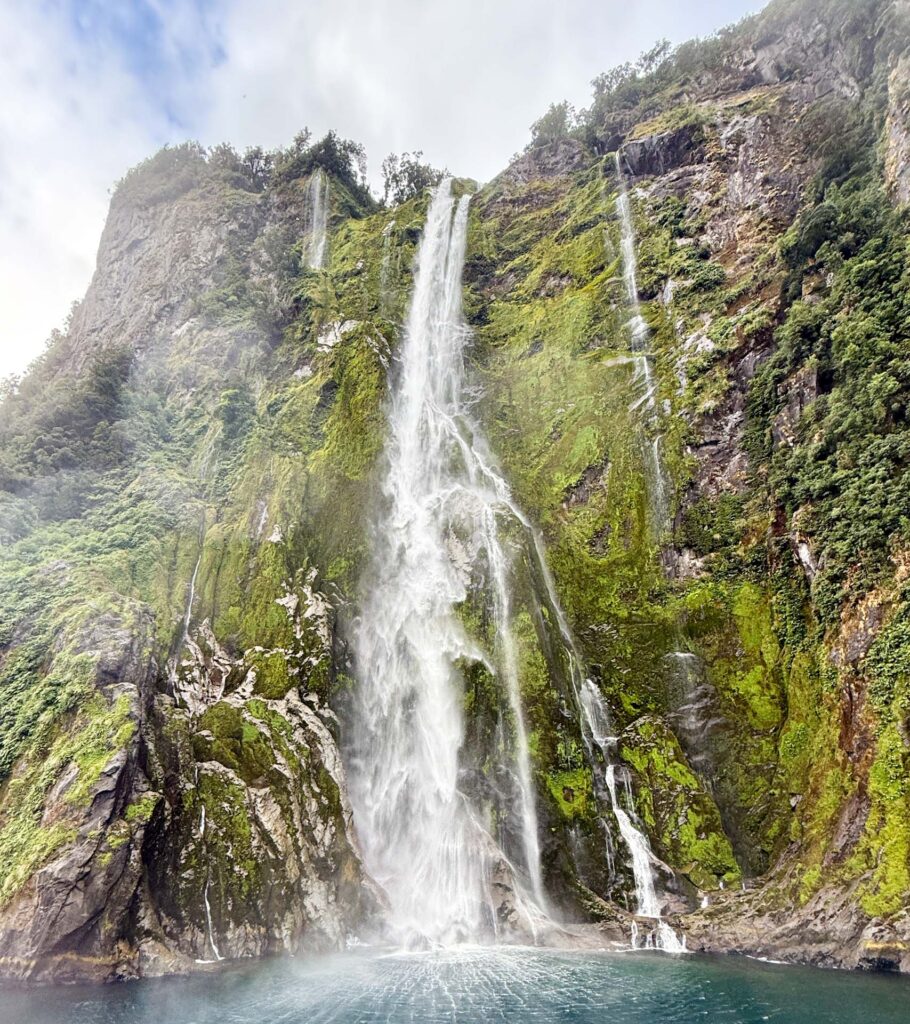
The scenery was, as you can hopefully see from a selection of these photos we took, spectacular. Lush rain forest, snow covered peaks, prolific birdlife, it had it all.
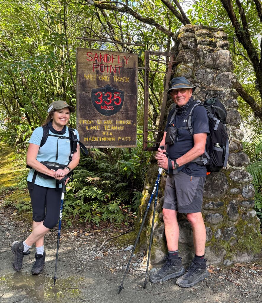
We were pleased to reach the aptly named ‘Sandfly Point’ (little biting flies which are always hungry and hunt in packs!) mid afternoon on our fourth day, and join a bunch of our fellow walkers on the boat trip across Deepwater Basin to our final night’s accomodation at Milford Sound.
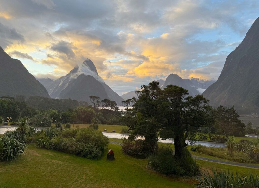
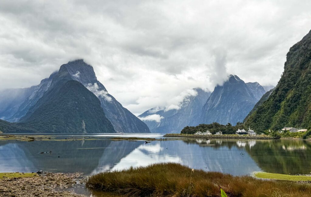
Day 5 had very little walking – a short stroll to board a cruise around Milford Sound, before a coach escorted us back to Queenstown.


Here’s link to Ultimate Hikes in case you fancy walking this route, or one of the other New Zealand walks. What a country. We love it.

I enjoyed reading about your latest adventure so much. I will make the trek only vicariously since I just had surgery #4. Loved all your pictures. Excellent photography. On Windows 11, the Milford Sound is always popping up when I log in with links to places to stay and things to do. The pictures on my computer are always glorious.
Thank you – it is hard to take a bad photo in such stunning surroundings!
Likewise! We had been to Doubtful Sound many years ago, on an overnight kayaking trip. So many more to explore…not sure us common peasants can get to those easily! It’s a spectacular region.