Author: Mrs A
Monday – Location: Noosa to Coolum Beach, then to Brisbane
We were all sad to say farewell to our friends Ray and Wendy in Noosa, particularly Tassie, who had become accustomed to her choice of laps and enjoyed her days relaxing on the daybed watching the activity on the river. But it was time to collect our Zone from its couple of days of pampering and head on our way.
We called into Belmondo’s on the way out of Noosa, finding ourselves spending a ridiculous amount of money on a handful of items, before heading south to Coolum, the home of Zone.
Before long, we were pulling away, and heading on the highway south to stay the night with our fellow Zoners, Libby and Phil.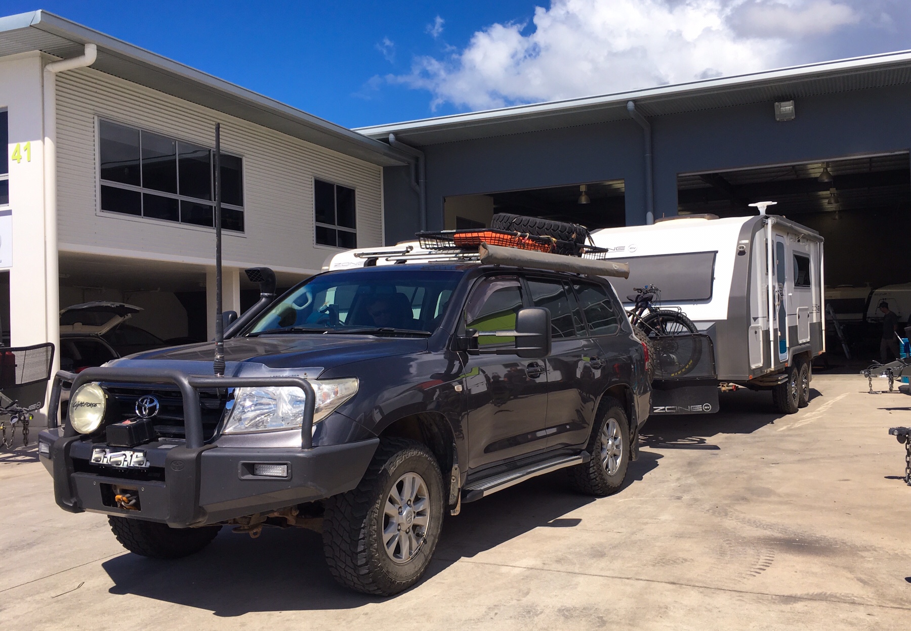 We had a brief whirlwind of time to transfer our cases and food back into the caravan, dig out the smart clothes and get changed, before the four of us drove into Brisbane for the evening.
The weather has been tumultuous – really cold for Brisbane (about 15 degrees centigrade!) and wet – but as we arrived at South Bank the clouds lifted to give us a fabulous display across the river into the city.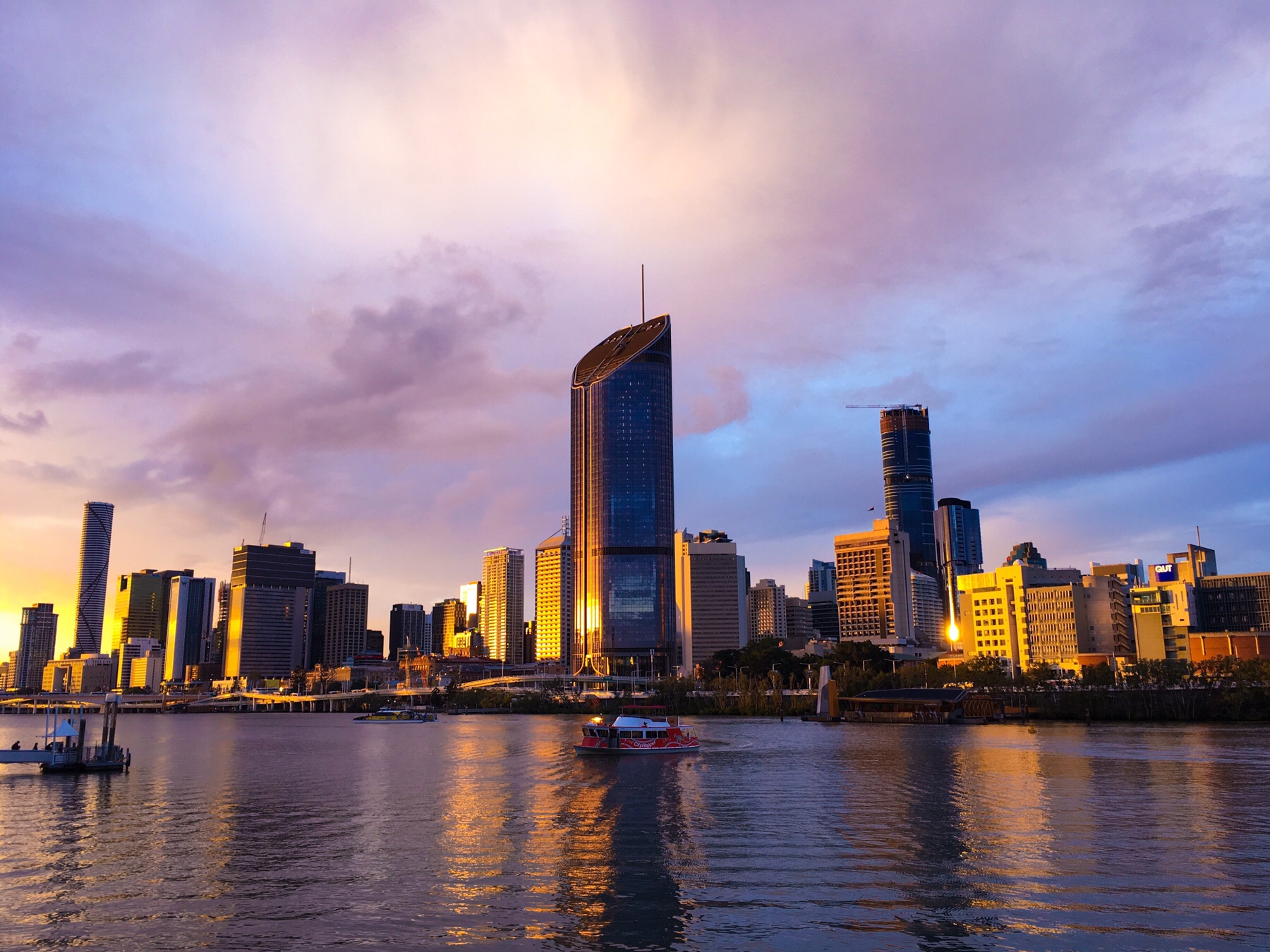
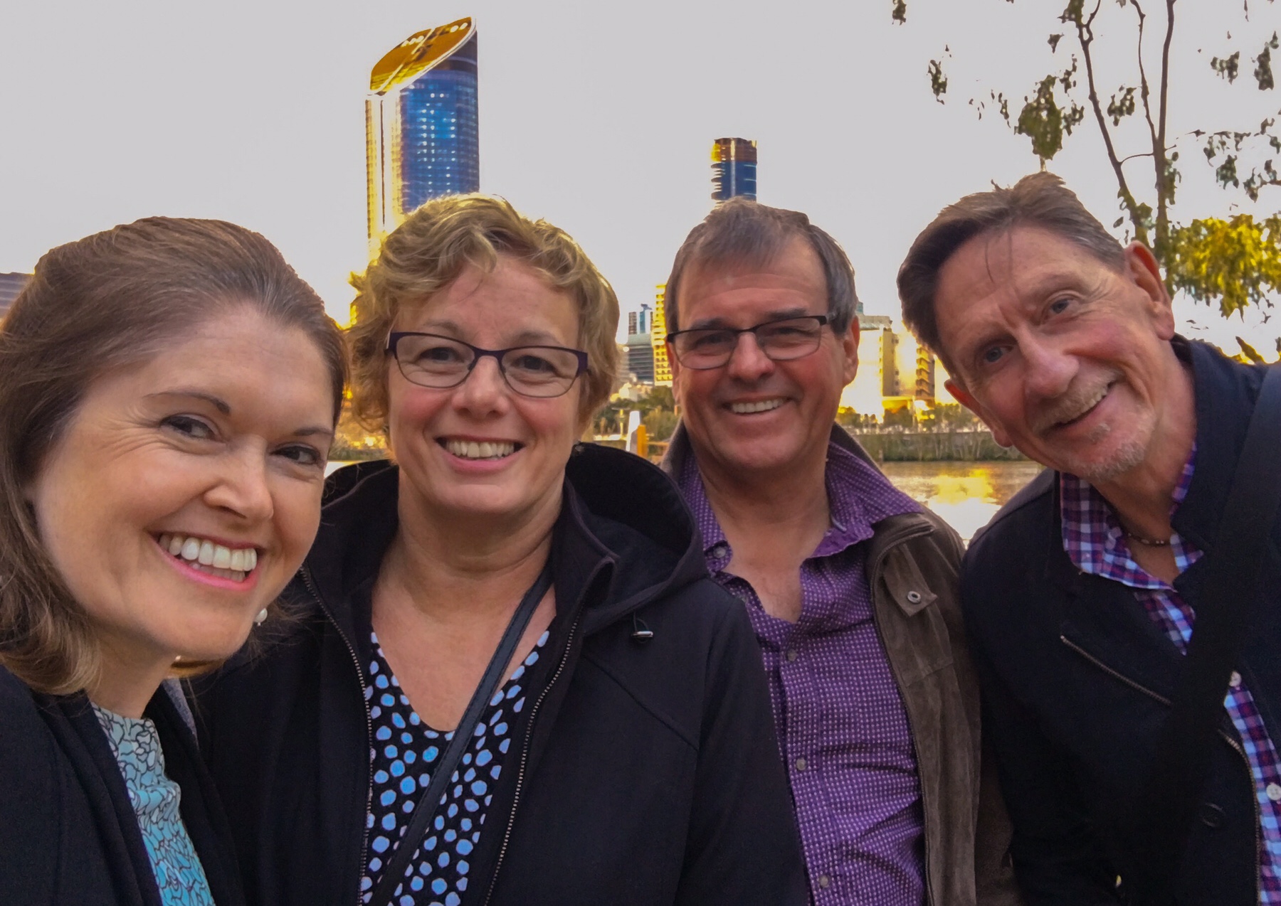 After this, we parted ways, Phil and Libby ending up at a pub helping celebrate a nephew’s birthday, while Mr A and I joined three lovely ladies for dinner in a French restaurant beside the water.
I’ve been invited to talk at the Australian Society of Otolaryngology and Head and Neck Surgery here in Brisbane next March regarding my work with the rare disease I have, idiopathic subglottic stenosis. Two of the ladies we met were paediatric ENT surgeons here in Brisbane, and the third worked at a pharmaceutical company, supplying equipment for the surgeons, and a sponsor for the event.
We had a lovely evening, delicious food, and I got to talk about a cause very close to my heart (and airway!). I’m looking forward to next year’s event already and all the good it can potentially do.
Our very generous hosts collected us at the end of our meal, and whisked us back to their home for warm drinks and conversation. Such incredible kindness from friends we only met for the first time in March this year!
Tuesday – location: Brisbane, Samford – Queensland and Woombah, New South Wales
Breakfast was our first port of call, the four of us heading down into the nearby village of Samford to Phil and Libby’s favourite café, Black Sheep. Delicious Eggs Benedict for three, and a breakfast wrap for me, and we were all happy campers, definitely not in need of lunch today!
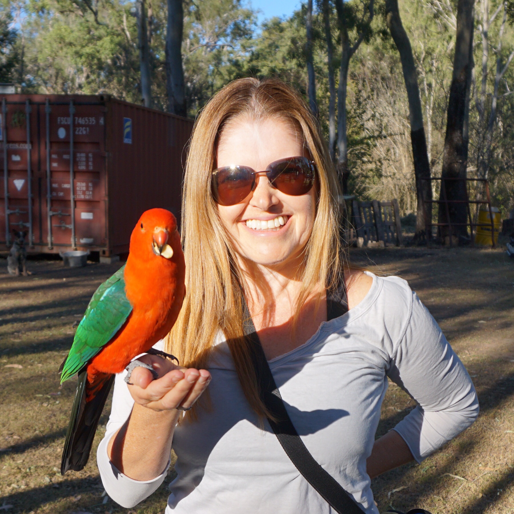
We had a chance to admire the five plus acre property we’re staying on, full of birds, rolling hills and bushland – just beautiful – before our hosts escorted us on our way via their secret route to the main road south.
There followed a stressful few hours on the M1 motorway, packed full of tailgating semitrailers and road trains going much too fast for the wet conditions.
We finally pulled off the road at the little settlement of Woombah, breathing a sigh of relief as we left behind the noise and the traffic and set up camp in a site with a fabulous view. We have probably driven past this area a dozen times without any awareness of what’s here, but it’s a lovely rural settlement sat on the banks of the Clarence River close to the estuary. There are over 100 islands in the wide river here, the nearest to us being Goodwood Island.
In need of fresh air and exercise, we set up camp, donned our rain coats and headed off for a walk.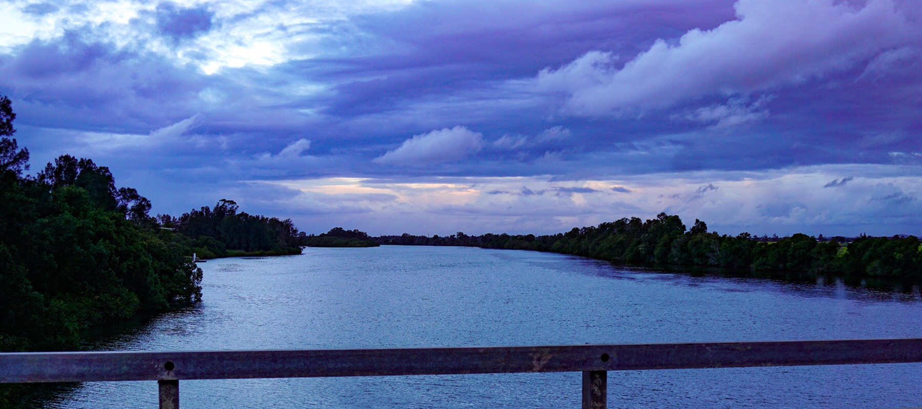
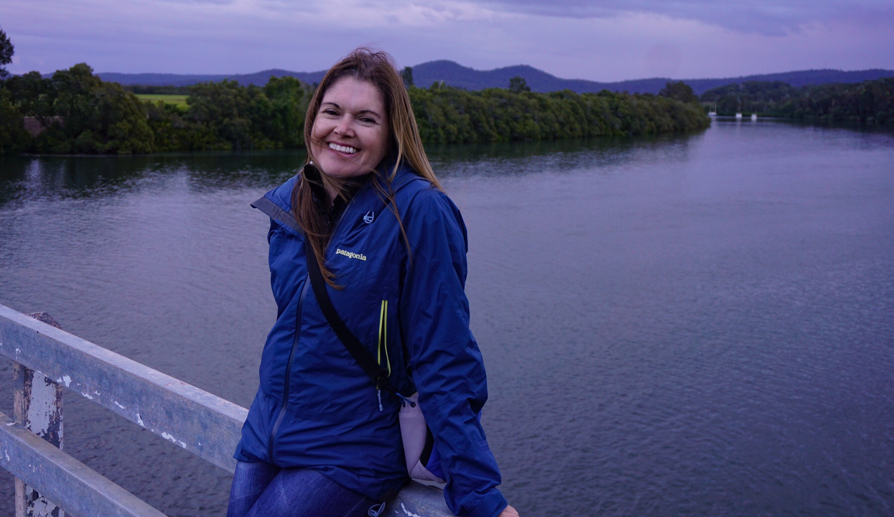 The sun was starting to set so we only went a couple of kilometres, crossing over the bridge to Goodwood Island and checking out the wet sugar cane fields before returning for the evening.
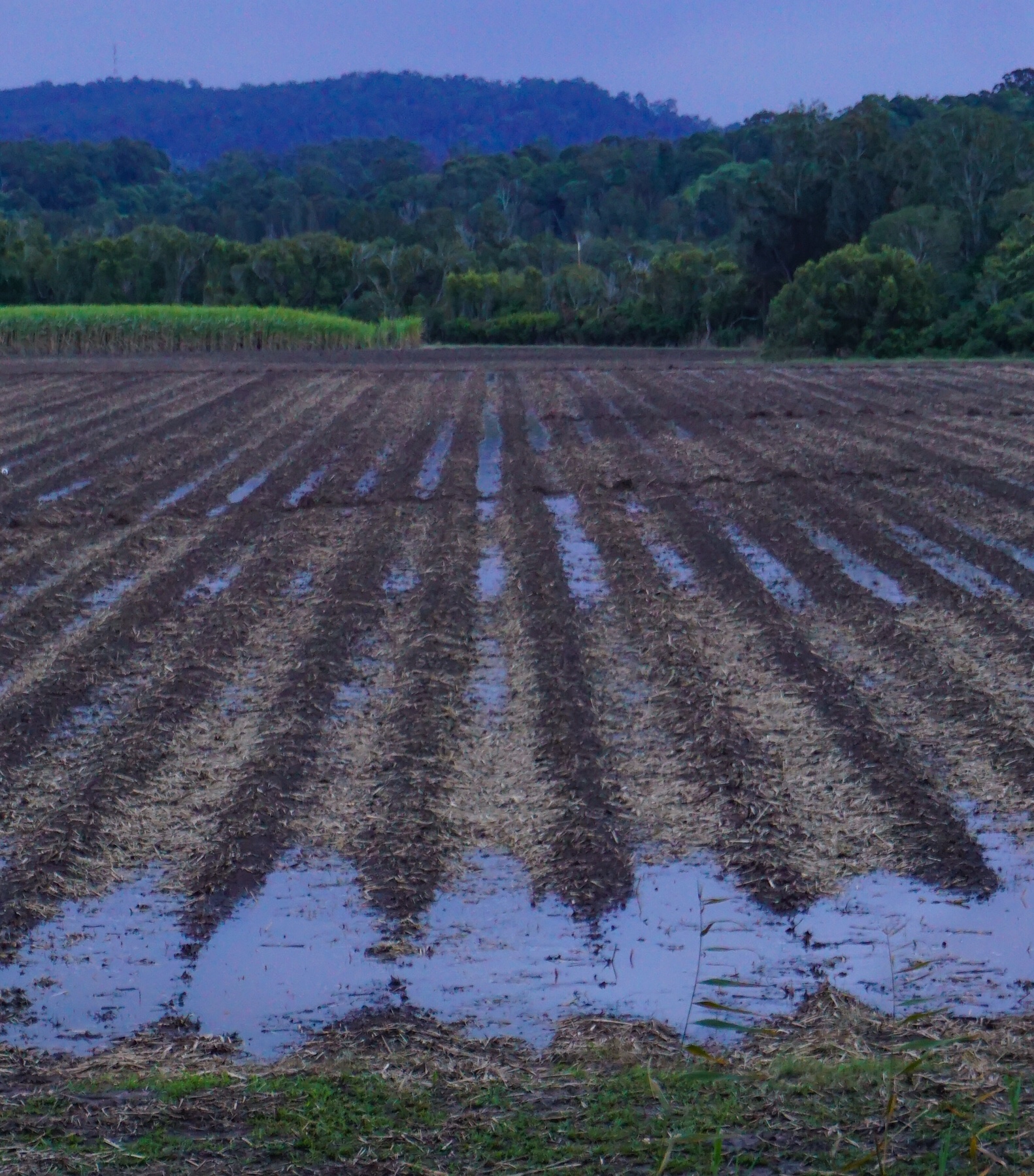
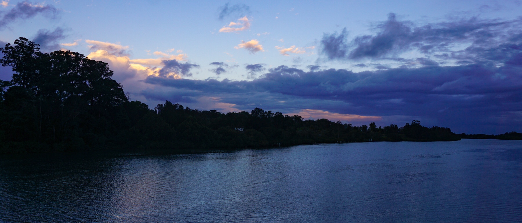 More rain and thunder entertained us, a novelty after the dry and drought of the inland areas. Sadly, it seems the rain is sticking to the coast, not helping out the farmers this time.
We’ll continue our journey south tomorrow, and with a continued forecast of rain, have not made any plans for where we might end up…all part of the adventure!
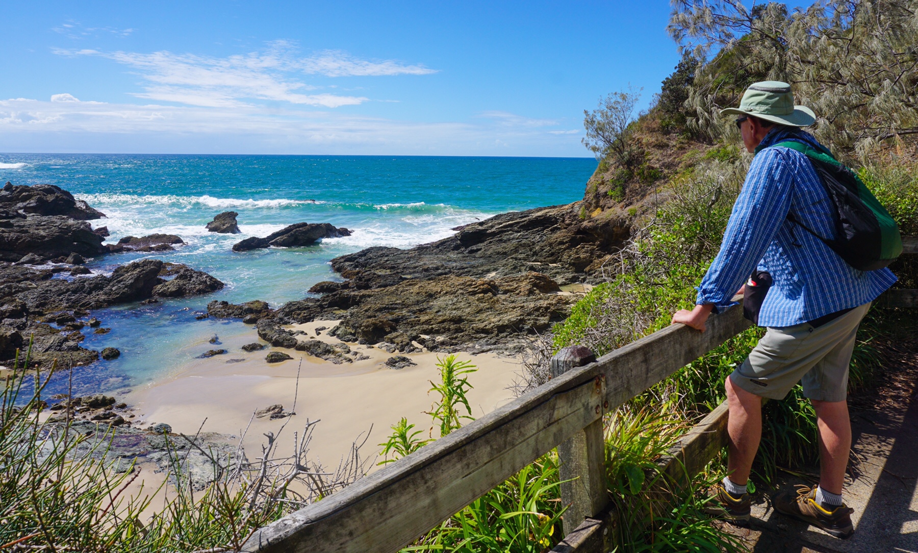
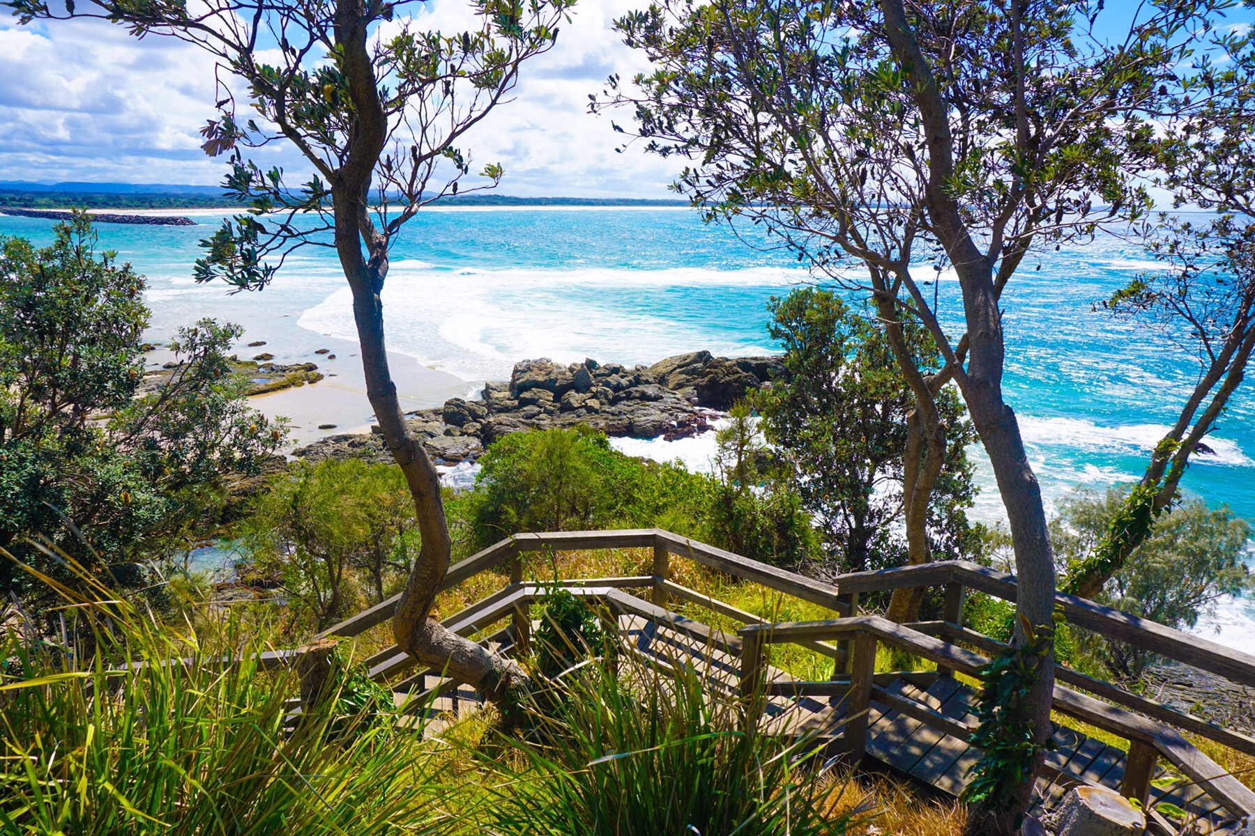
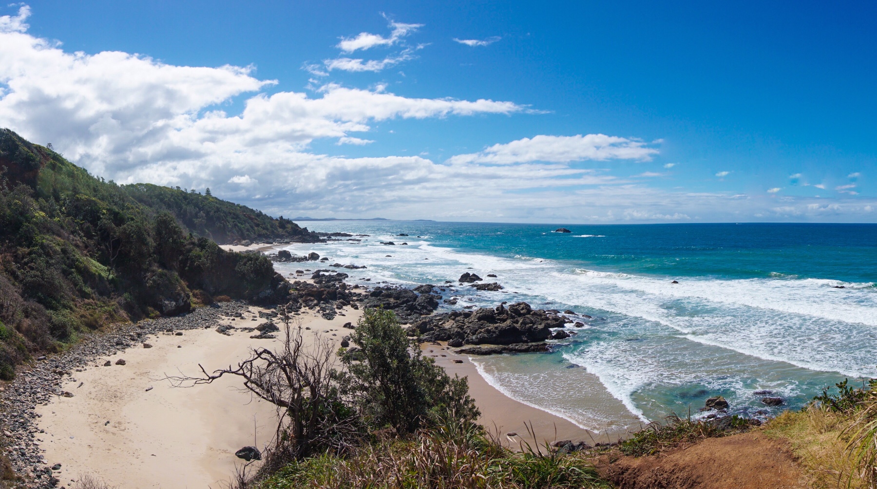
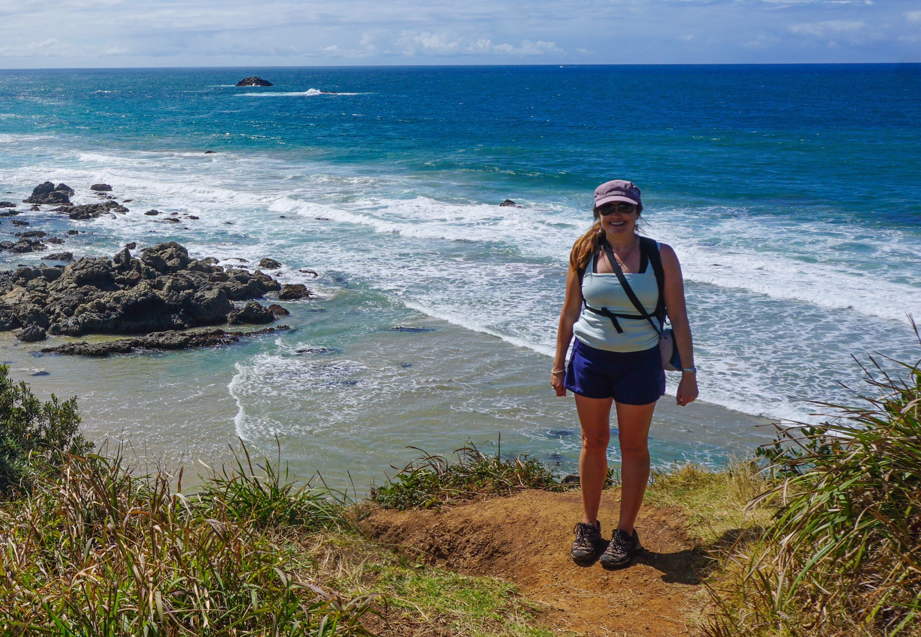
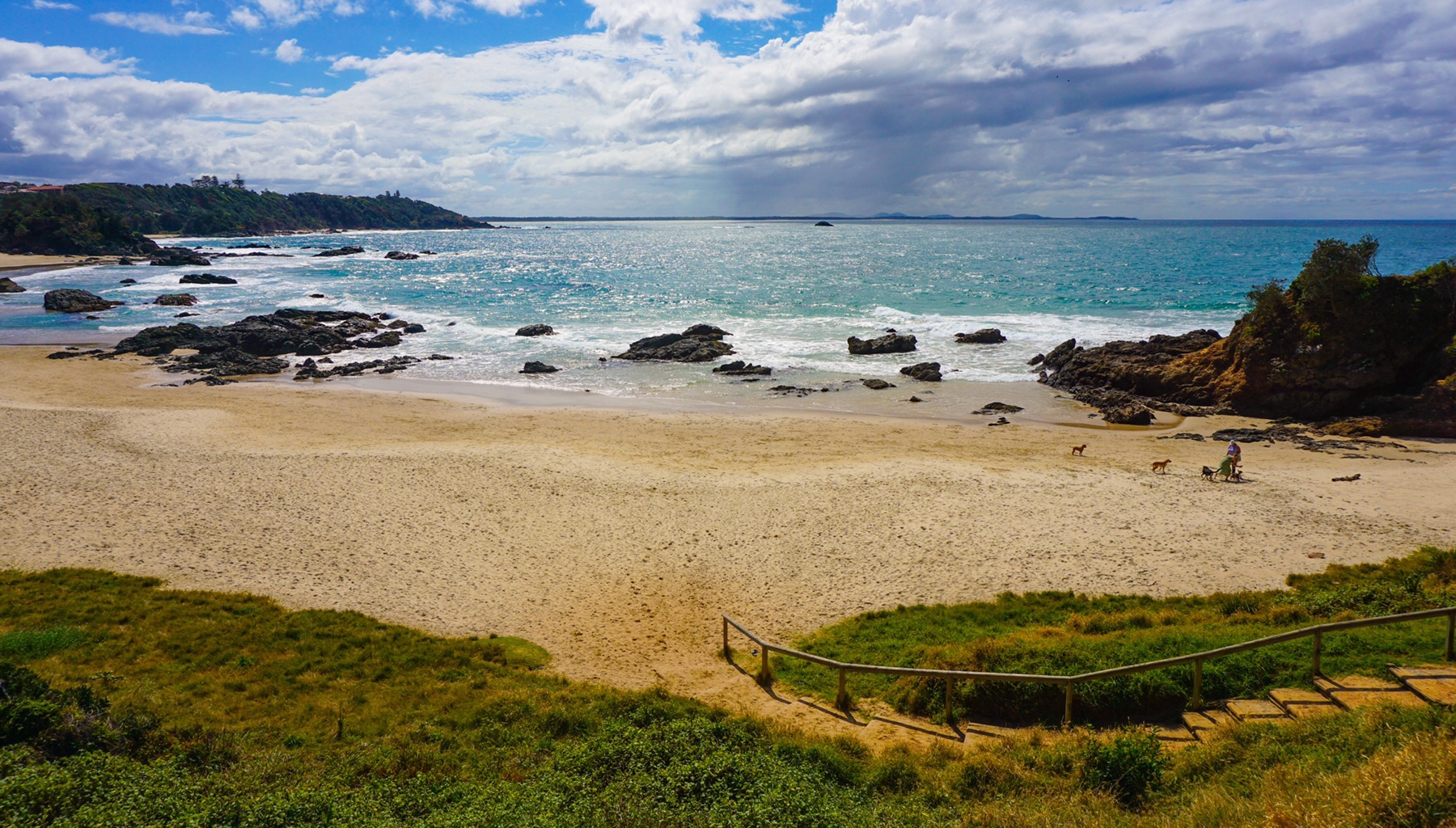
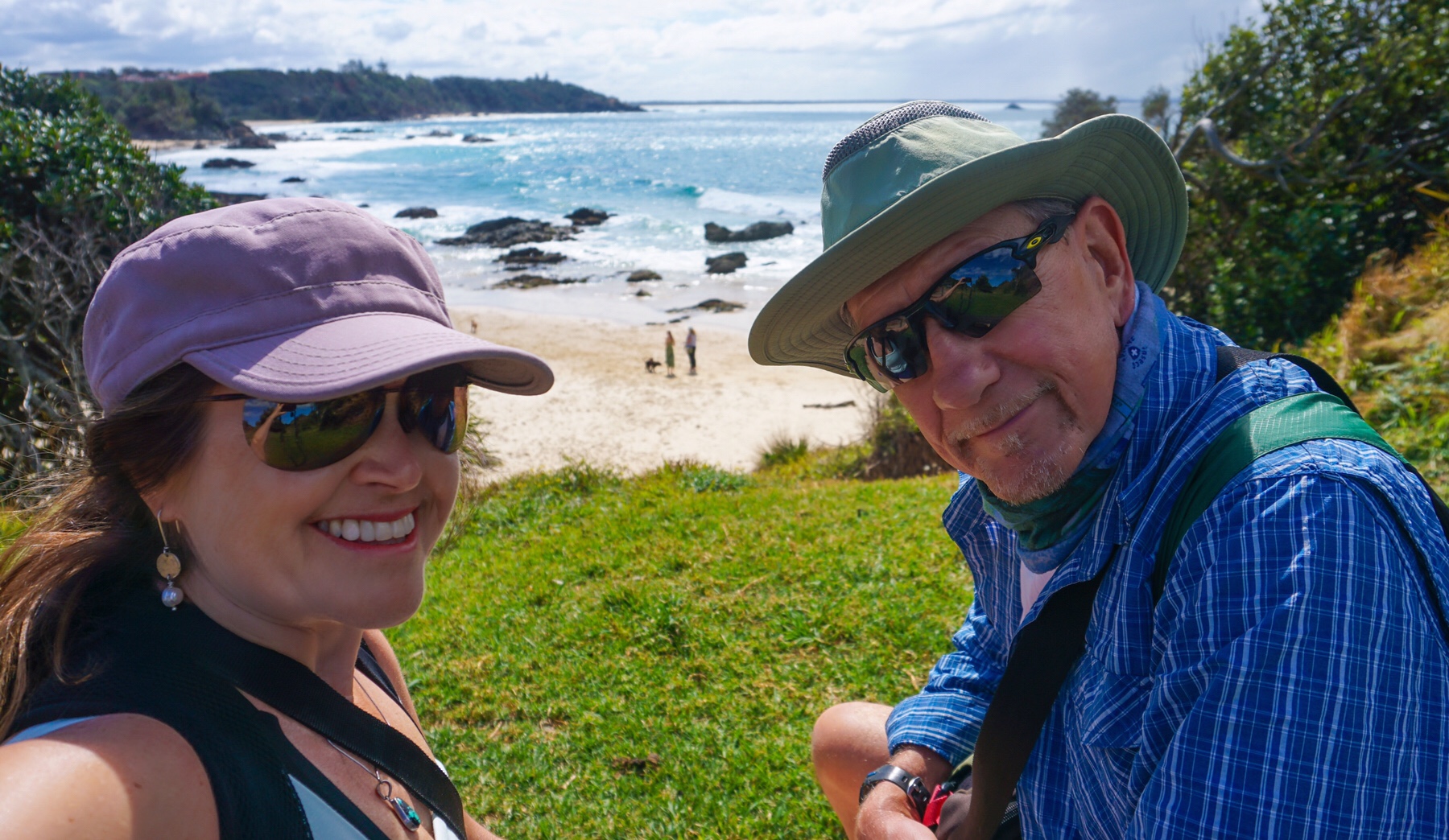
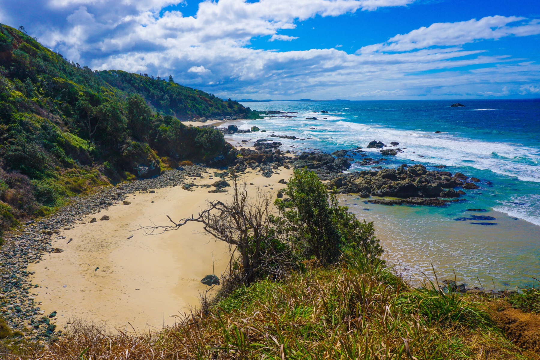
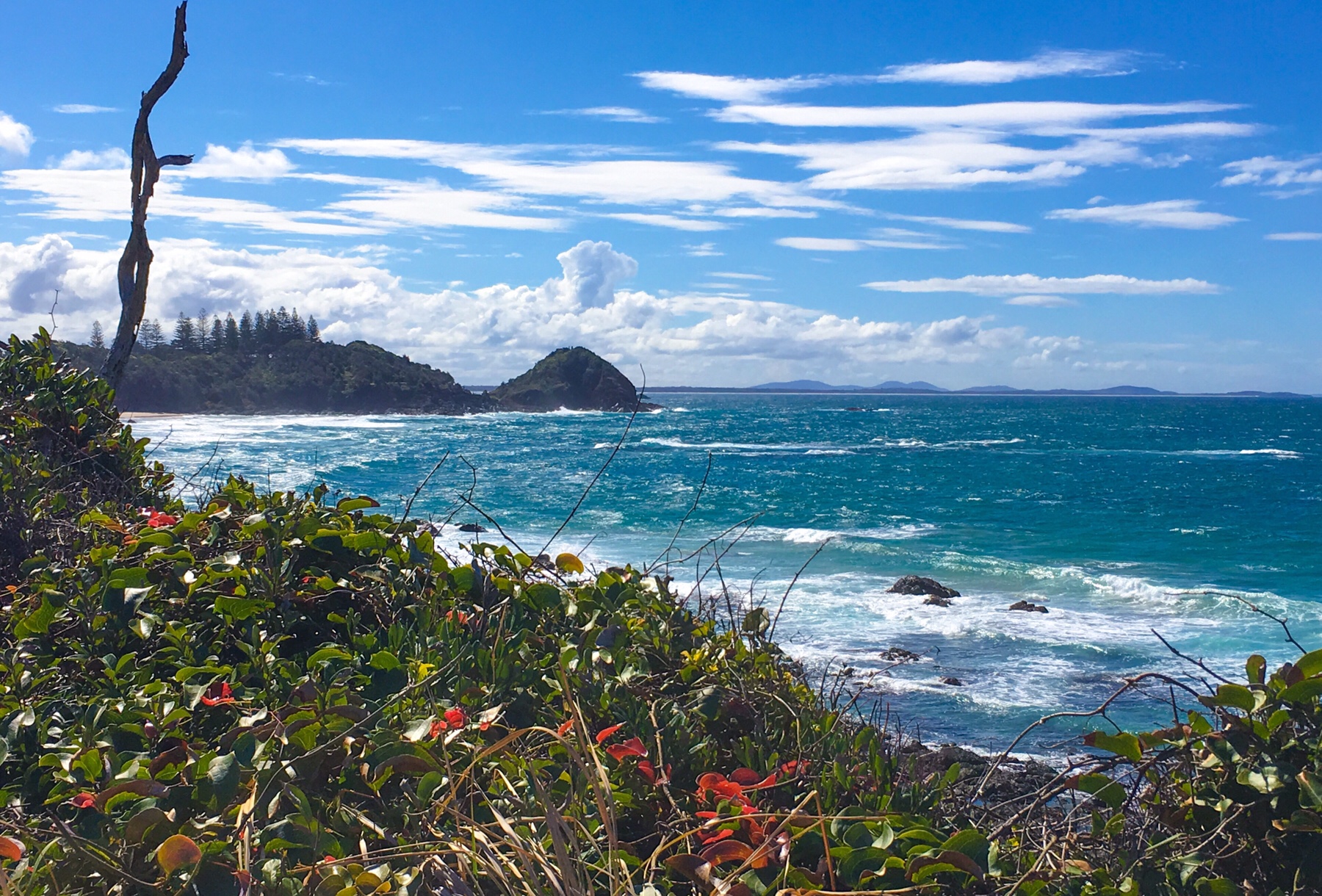
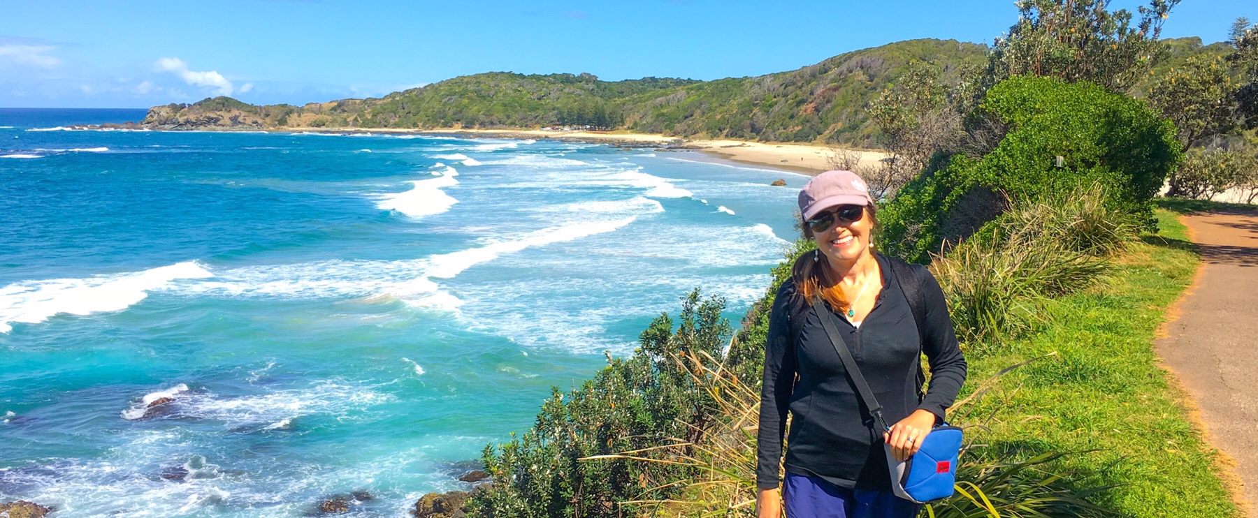

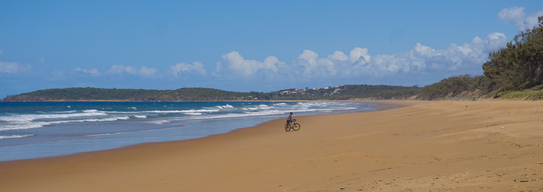
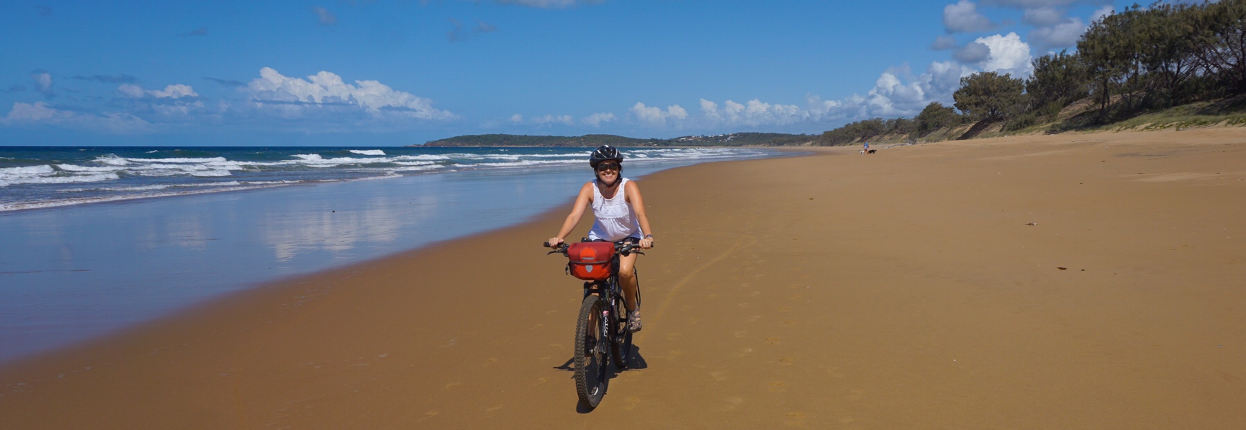
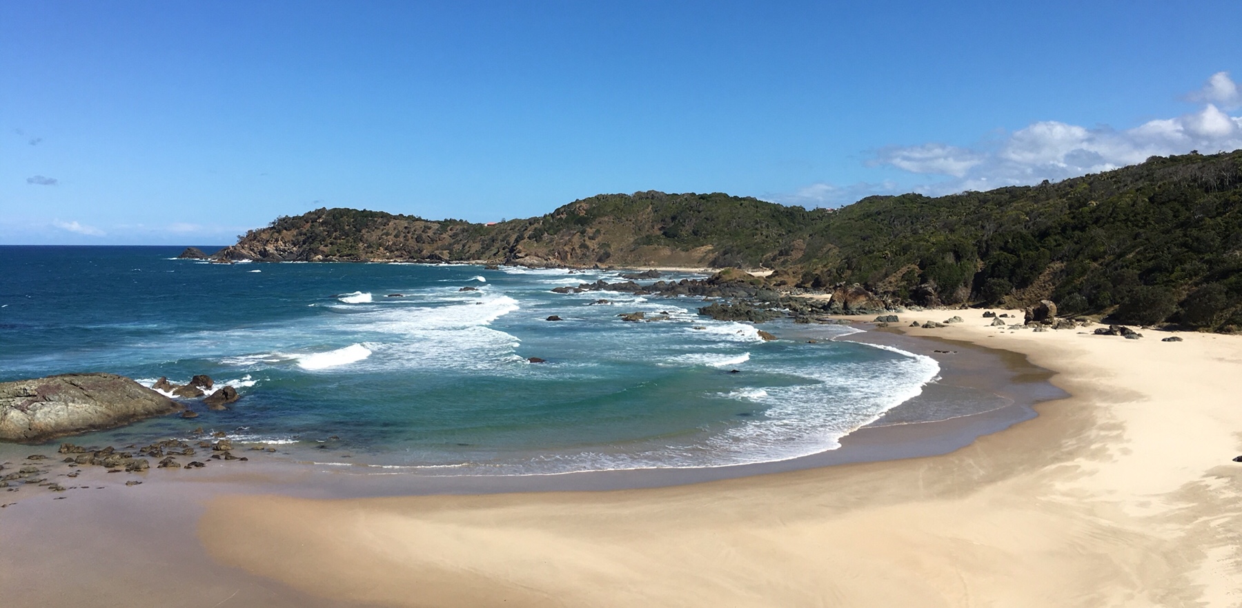 The sand was just so fine and white, almost felt like flour in your hand. We had a great lunch at a little surf cafe, and then settled in back at the Zone.
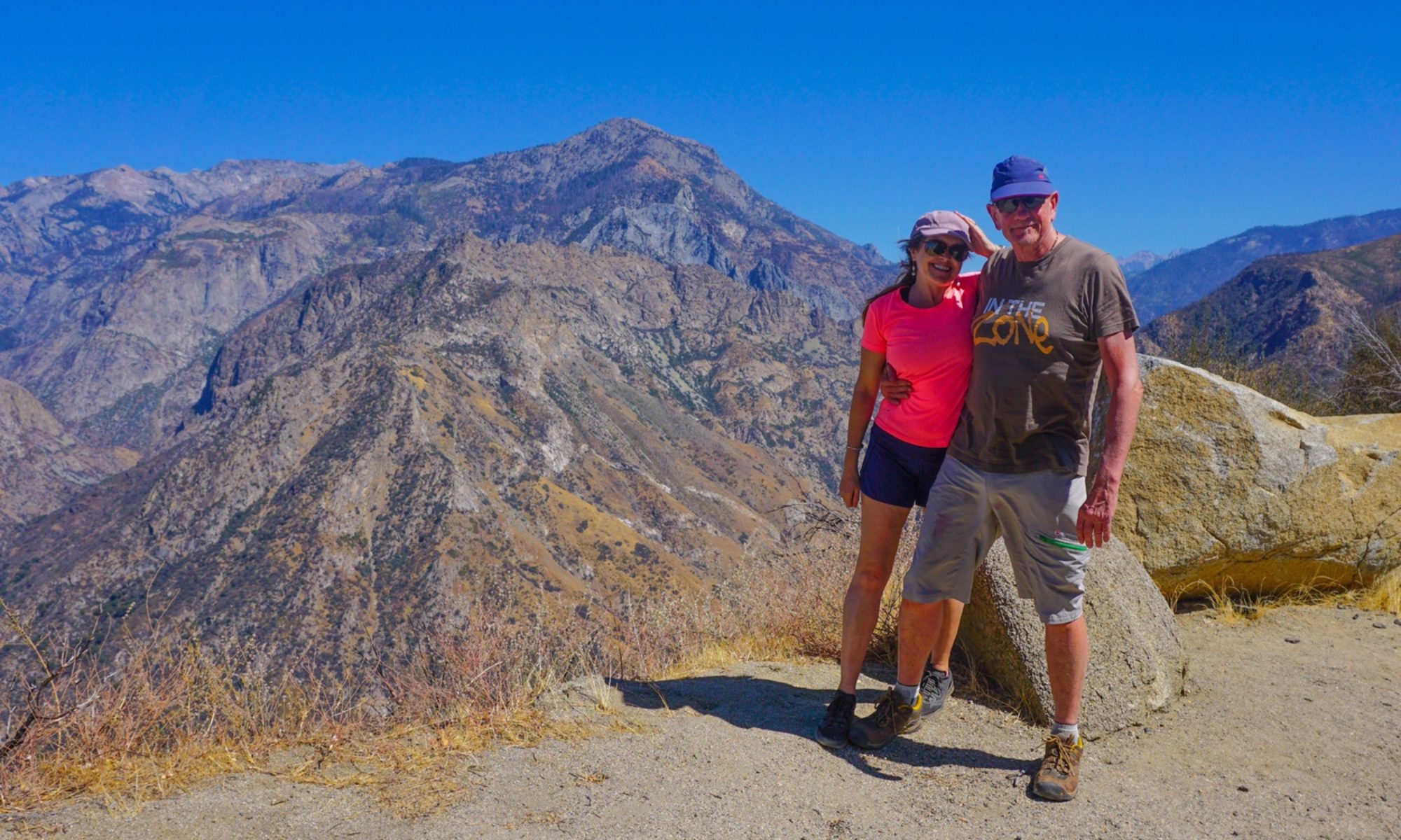
 We had a brief whirlwind of time to transfer our cases and food back into the caravan, dig out the smart clothes and get changed, before the four of us drove into Brisbane for the evening.
 After this, we parted ways, Phil and Libby ending up at a pub helping celebrate a nephew’s birthday, while Mr A and I joined three lovely ladies for dinner in a French restaurant beside the water.
 We have probably driven past this area a dozen times without any awareness of what’s here, but it’s a lovely rural settlement sat on the banks of the Clarence River close to the estuary. There are over 100 islands in the wide river here, the nearest to us being Goodwood Island.
 The sun was starting to set so we only went a couple of kilometres, crossing over the bridge to Goodwood Island and checking out the wet sugar cane fields before returning for the evening.
 More rain and thunder entertained us, a novelty after the dry and drought of the inland areas. Sadly, it seems the rain is sticking to the coast, not helping out the farmers this time.
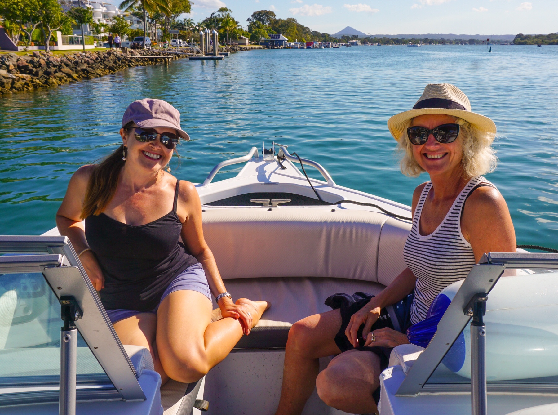

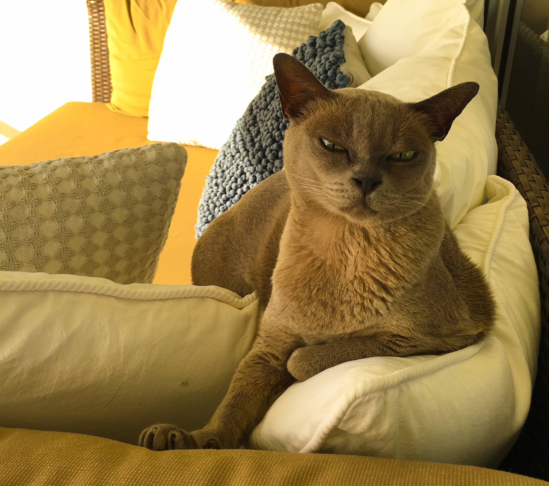
 We chat about our plan to come and rent here when we have had enough of our full time nomadic phase. It certainly is nice to be in an apartment again with endless water on tap and a toilet I don’t have to empty every morning! Tassie also approves, taking up her position on the day bed watching the non-stop action on the river.
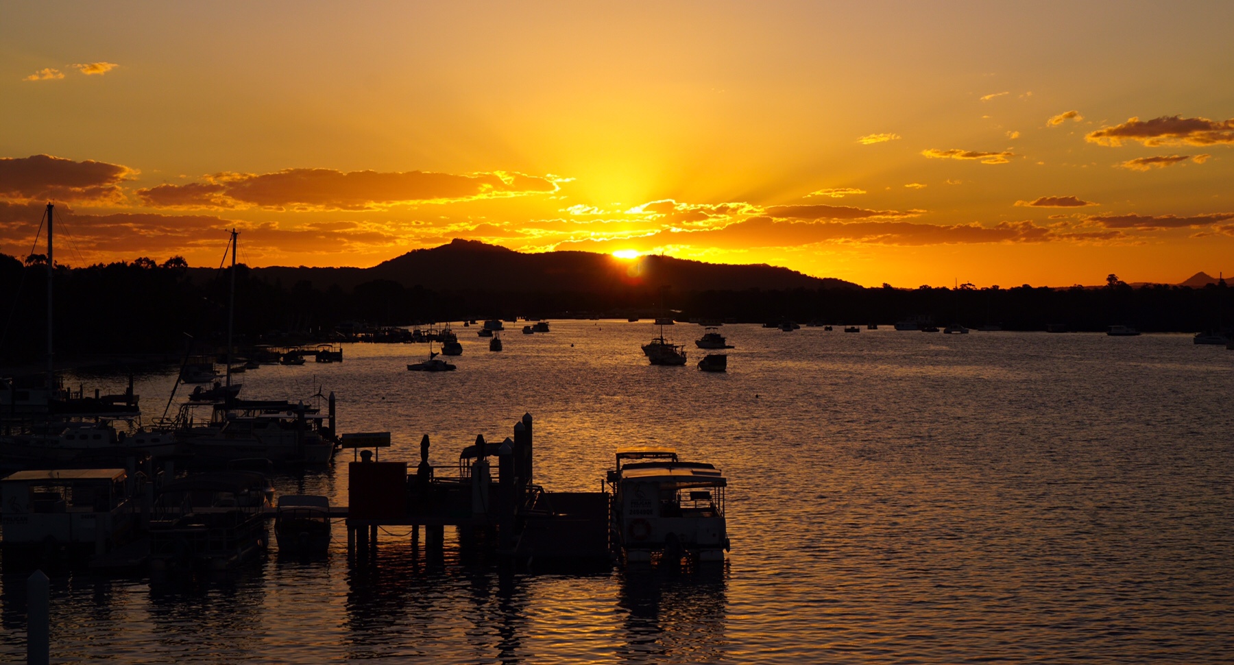
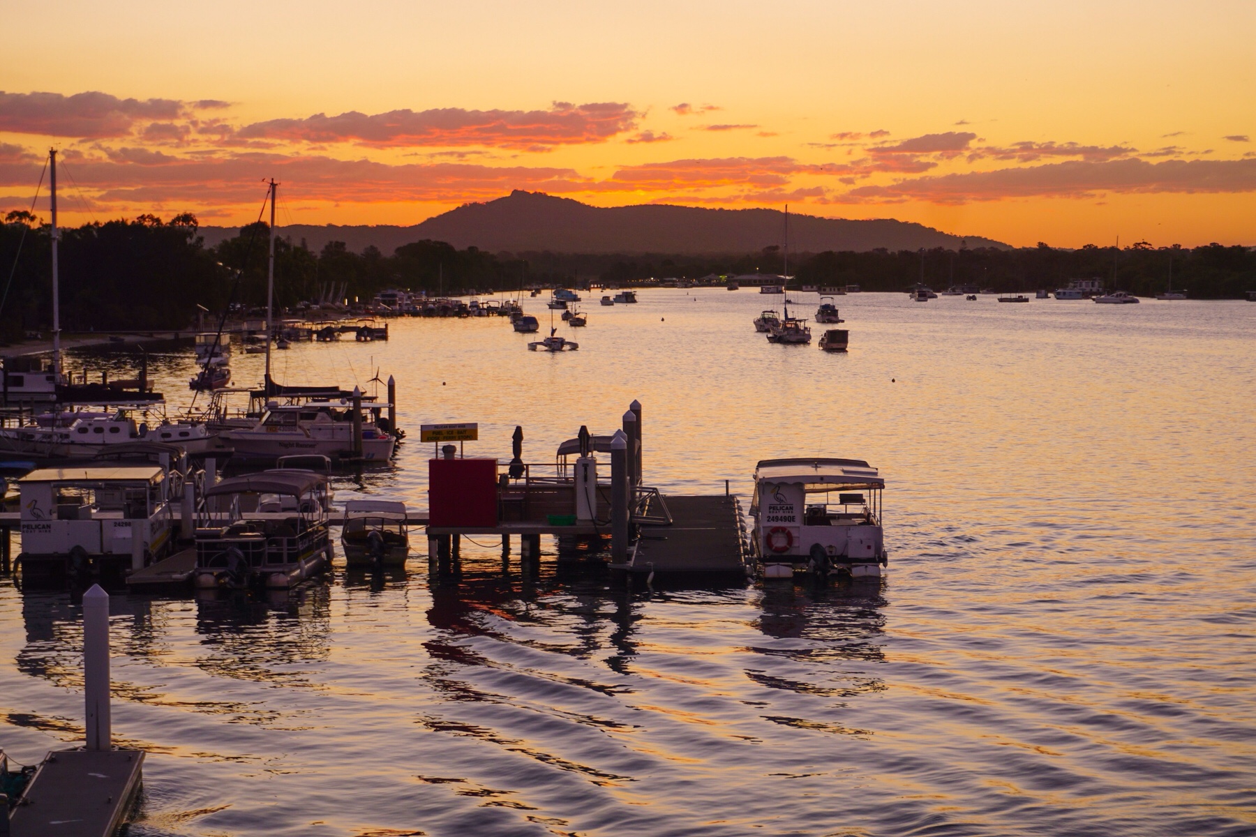
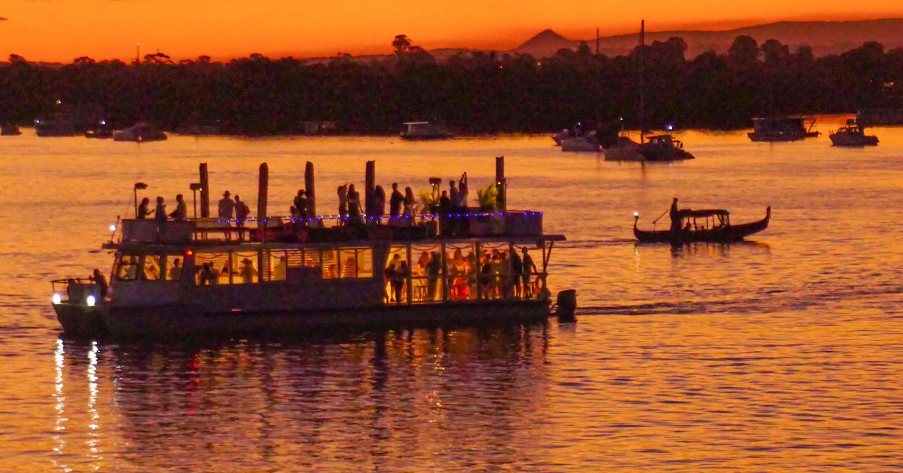
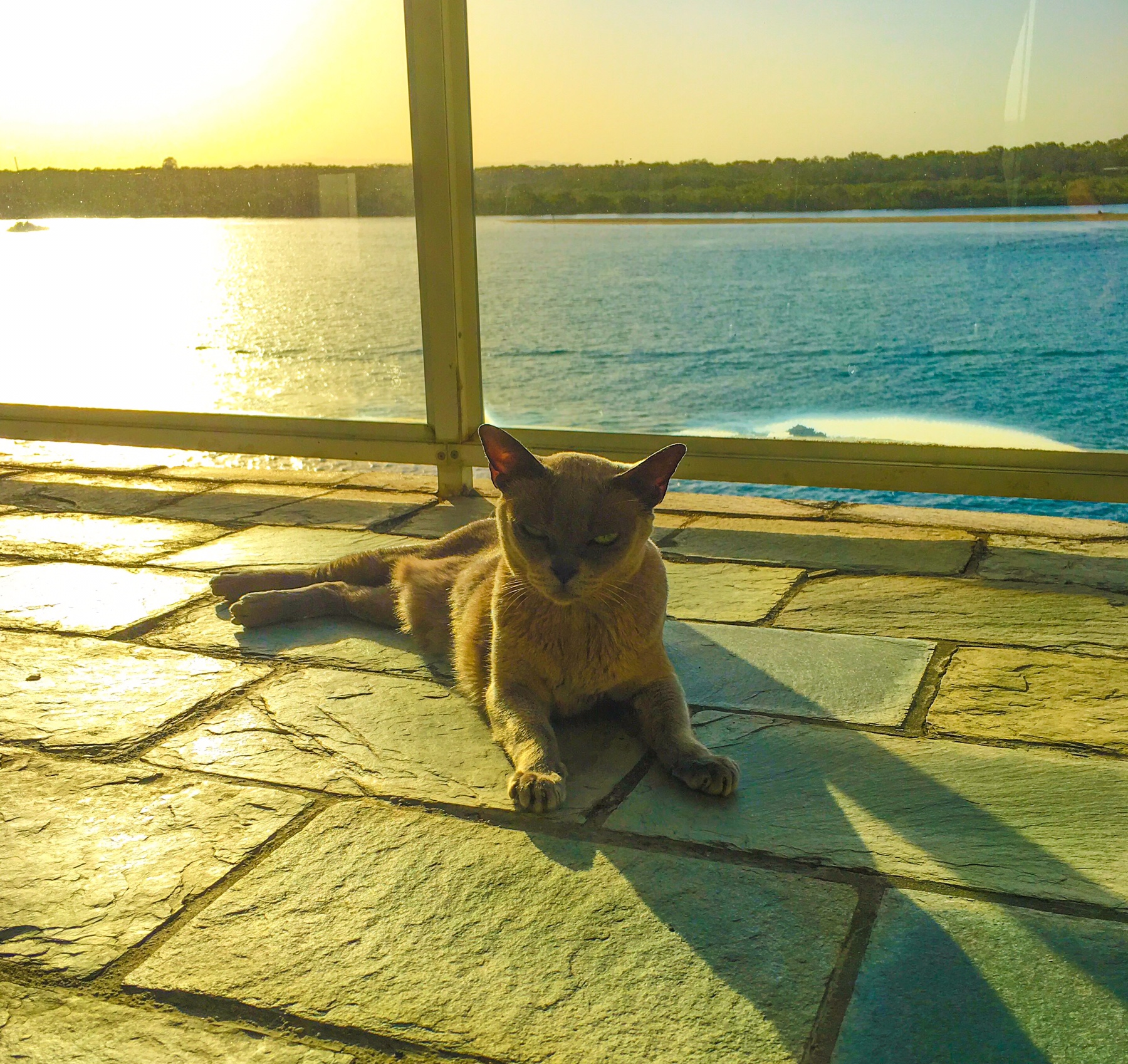 Watching the sunset turn the water to red, we both feel that we want to see this view a LOT more.
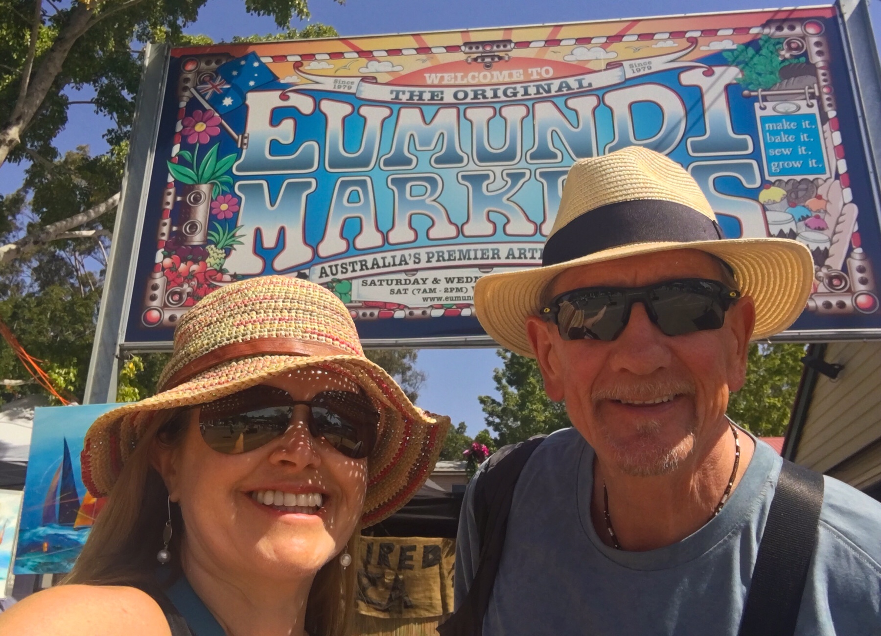
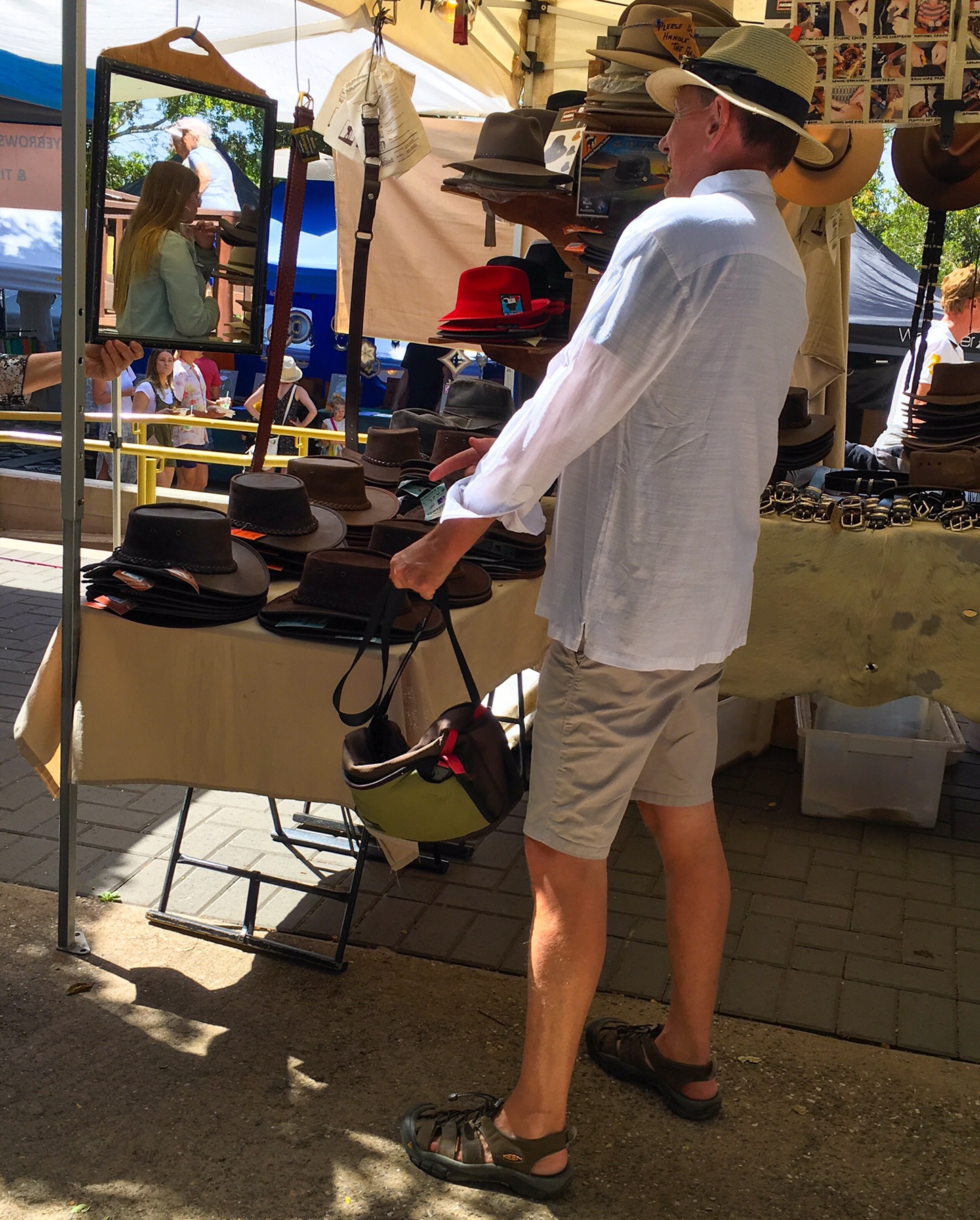 All sorts of local folk are selling their wares, or cooking up tasty treats. We could so get used to this life!
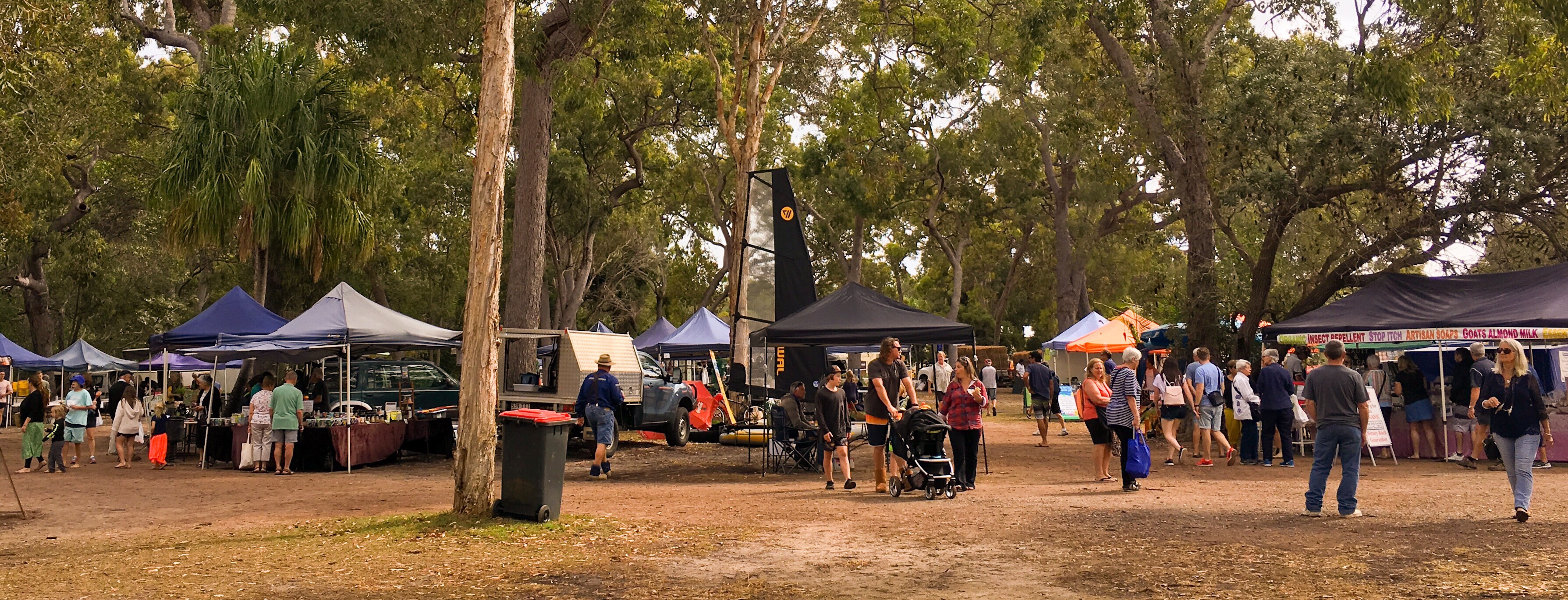
 Sunday: A little worse for wear this morning, it was market time again – this time at the local Noosa farmers market. It seems the whole town turns out to buy their weekly fruit and veg, so you can see it is a bit of a social catch up as well. The food we buy is all just so yummy. Fresh olives with flavours that just leap out at you. Nitrate free bacon. Oranges and apples that are bursting with juice.
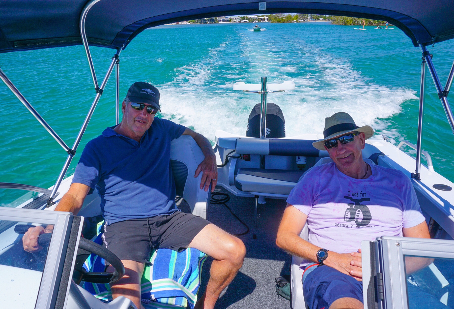
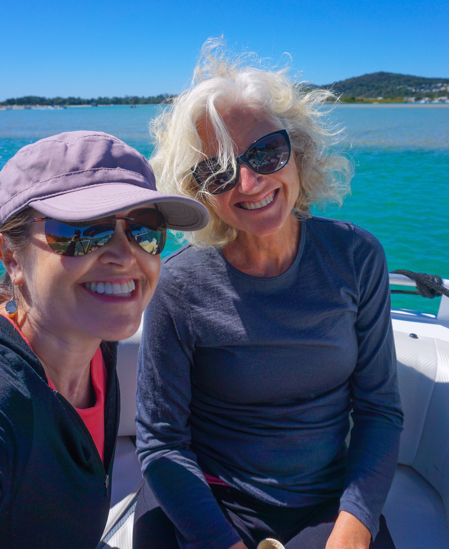
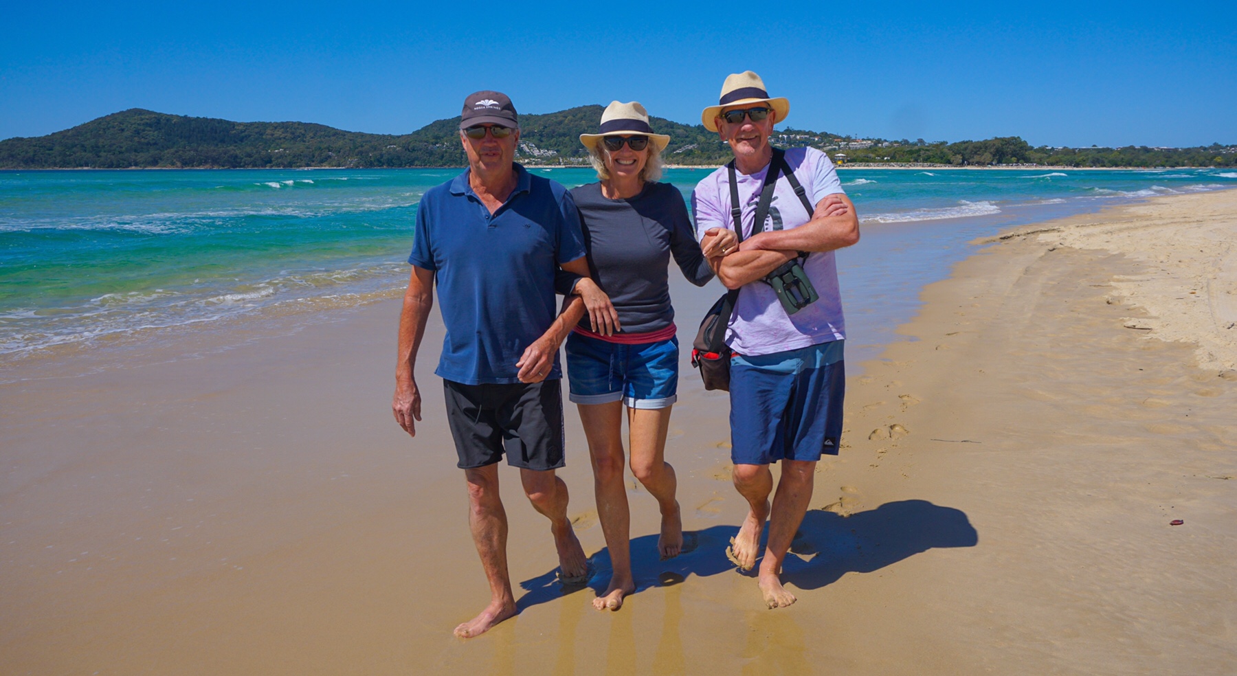
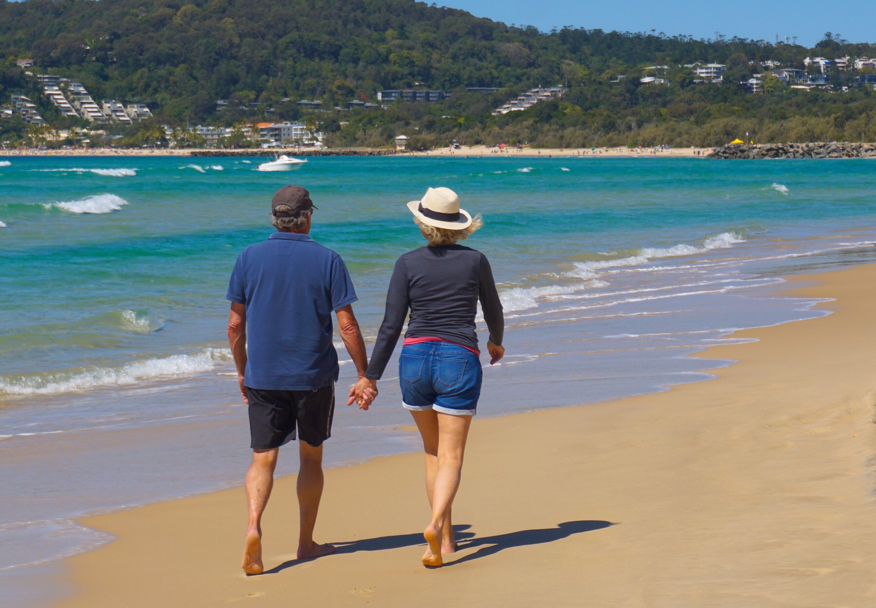
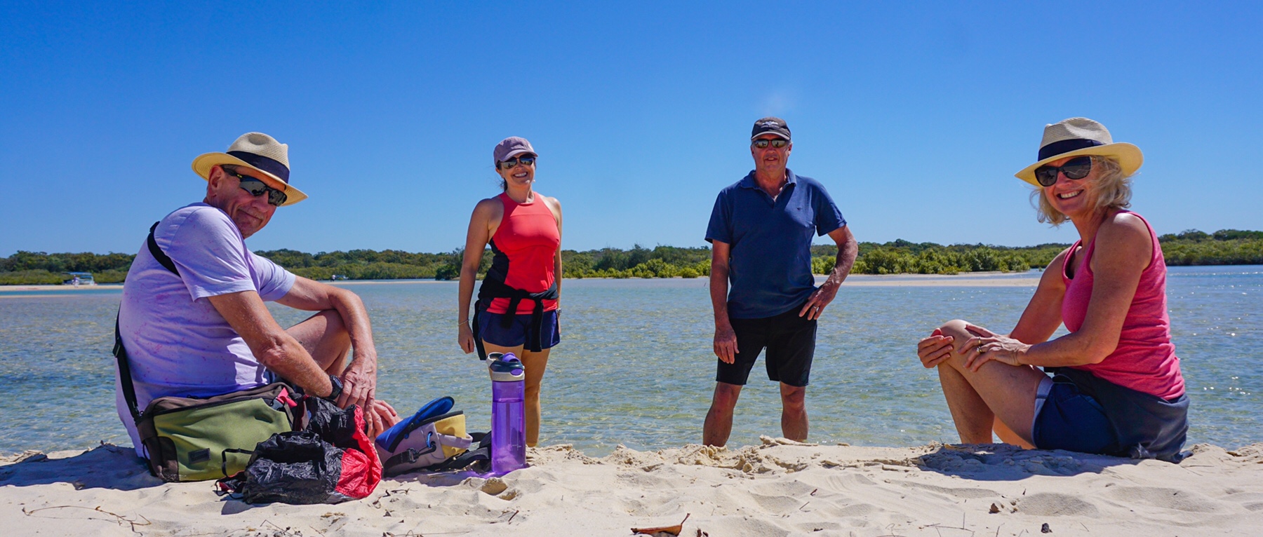 We come back and pile into the fresh produce for lunch.
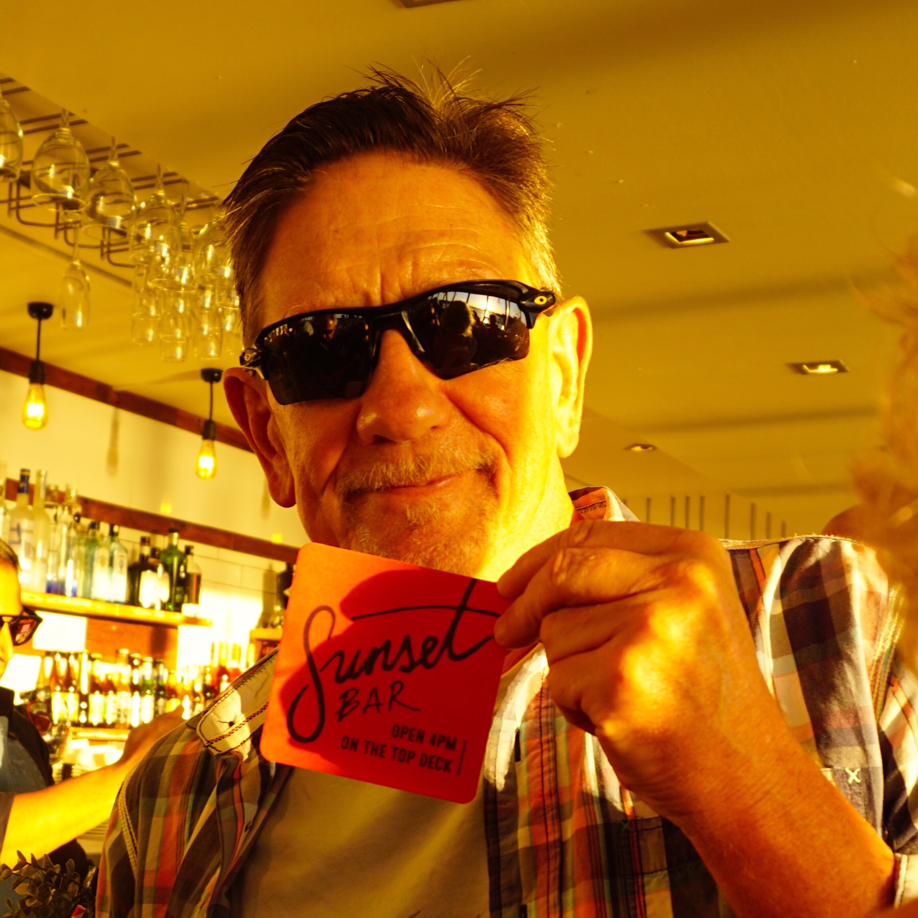
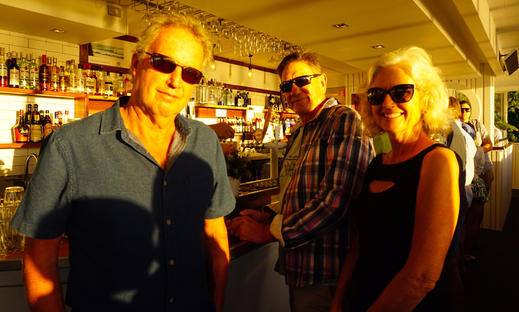
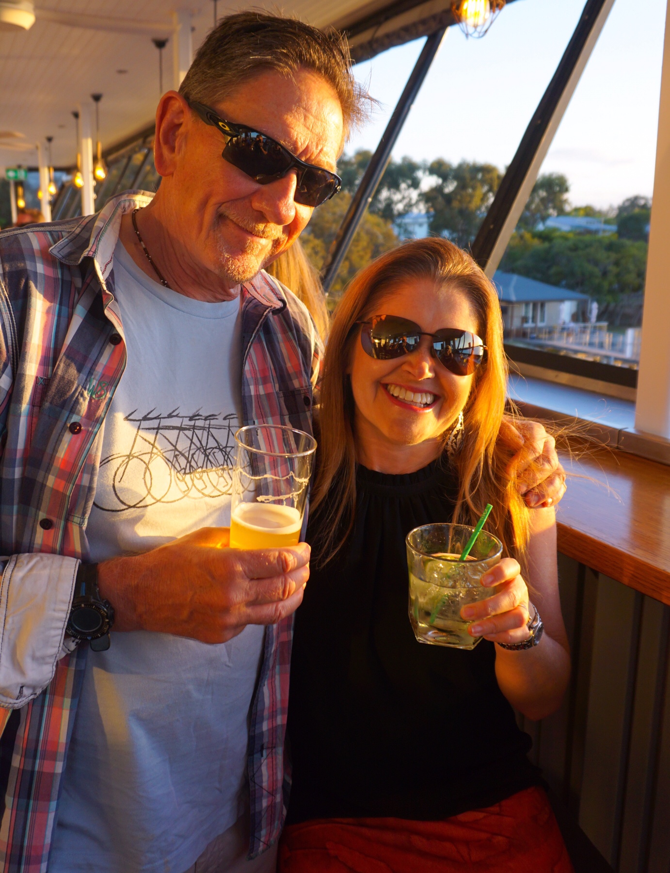
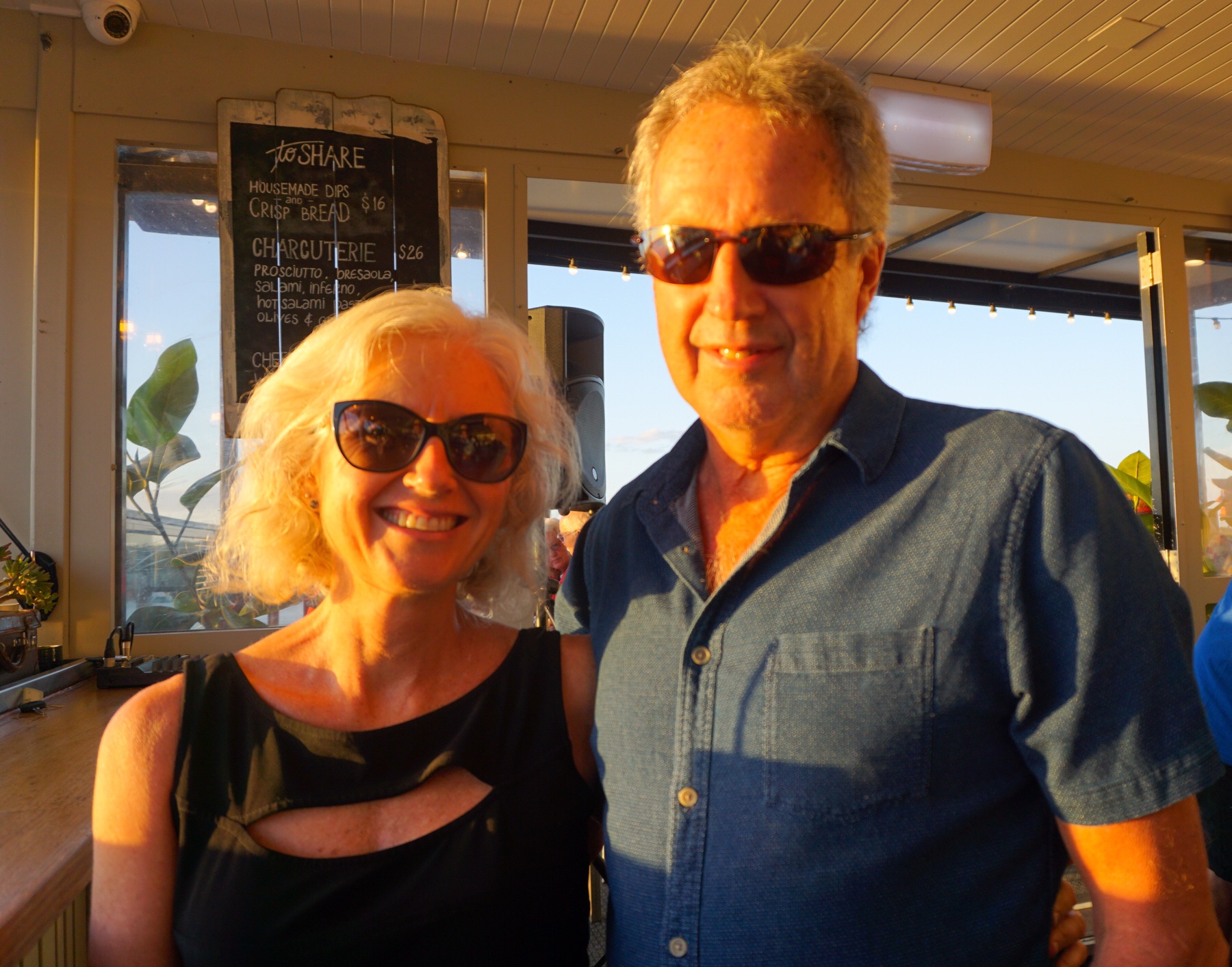 What a view. Great beer on tap, free live music, good bar service. I could enjoy making this a regular Sunday night catch up spot with friends!
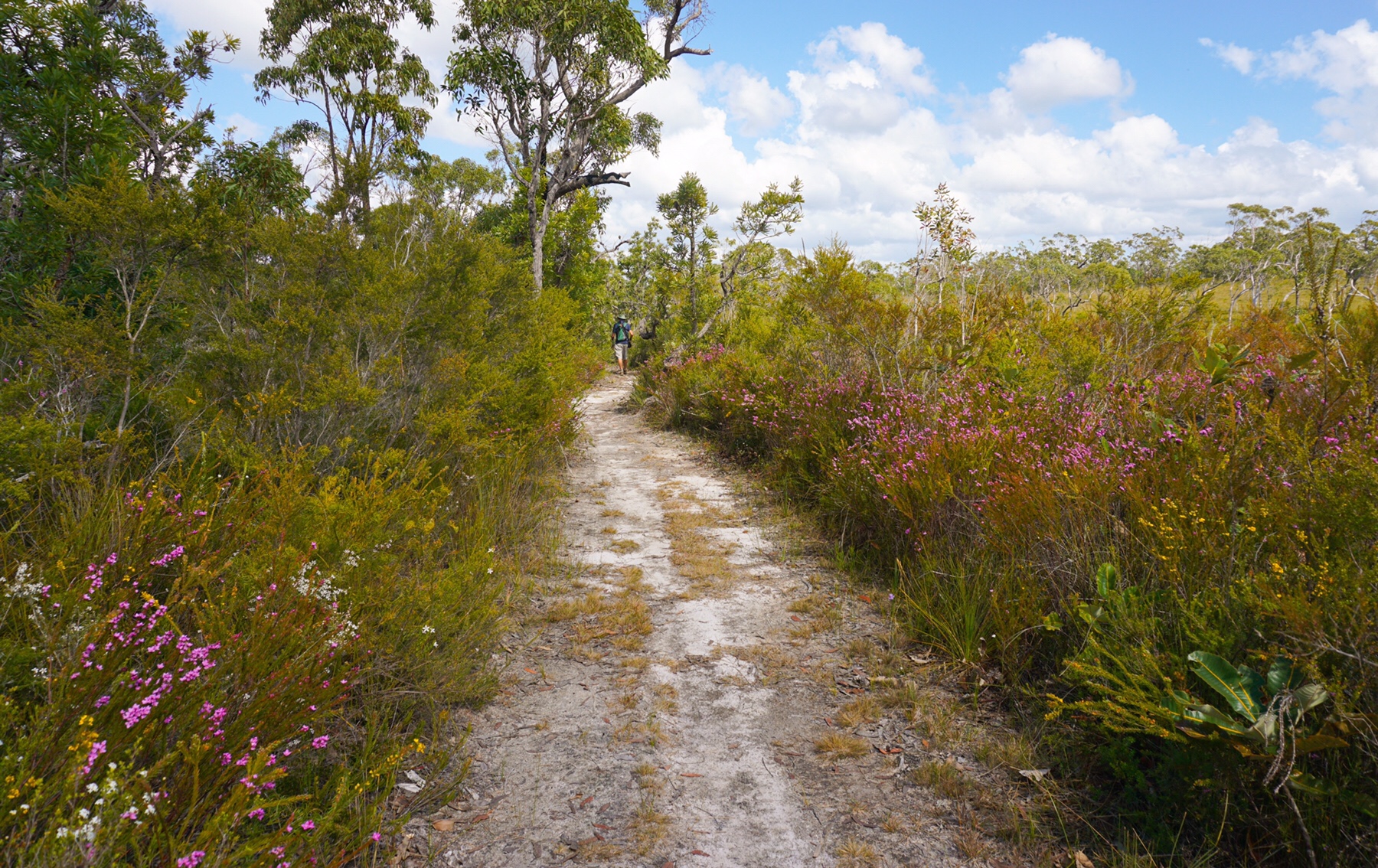
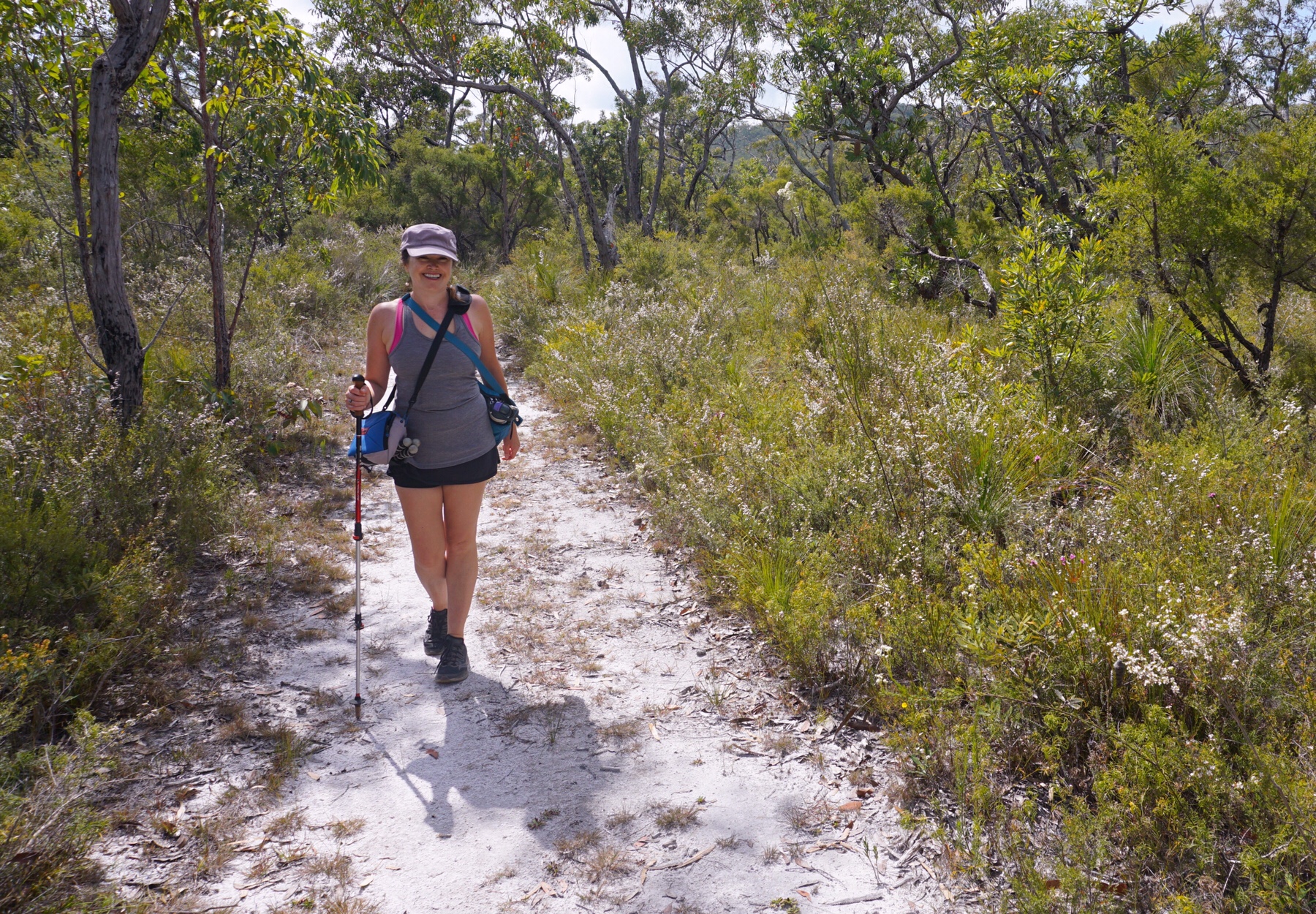
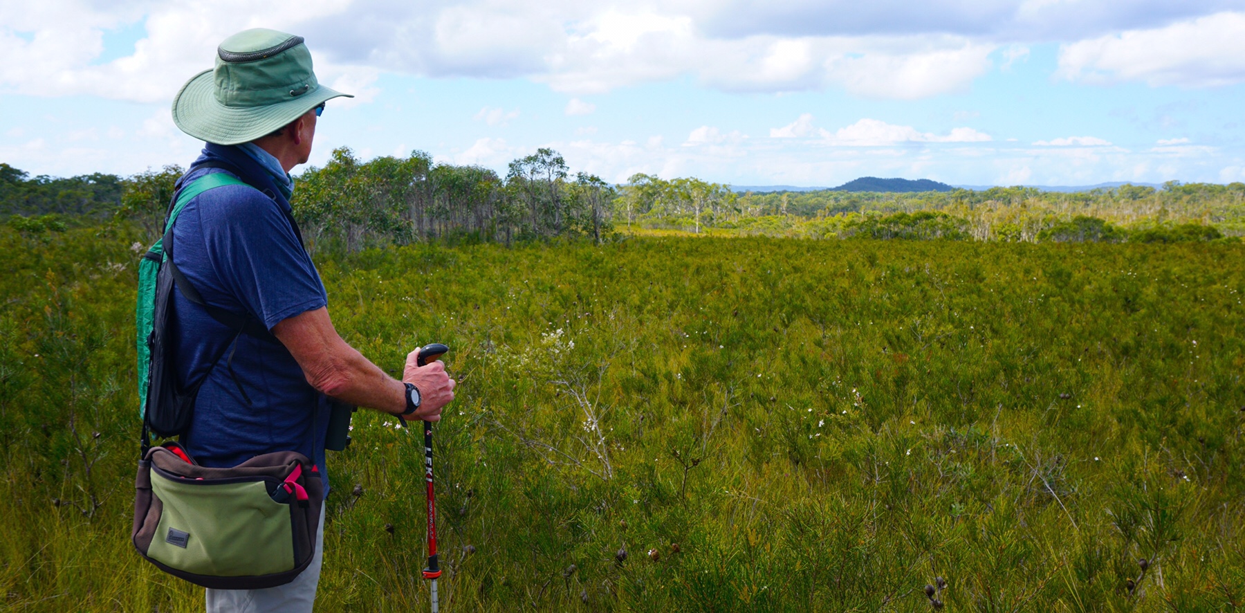
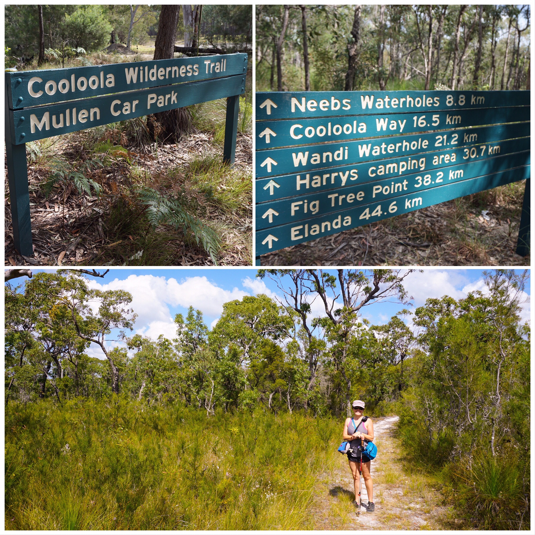 And what a beautiful walk it is. We are days away from the offical start of spring here (1st September) but the wildflowers were out in abundance.
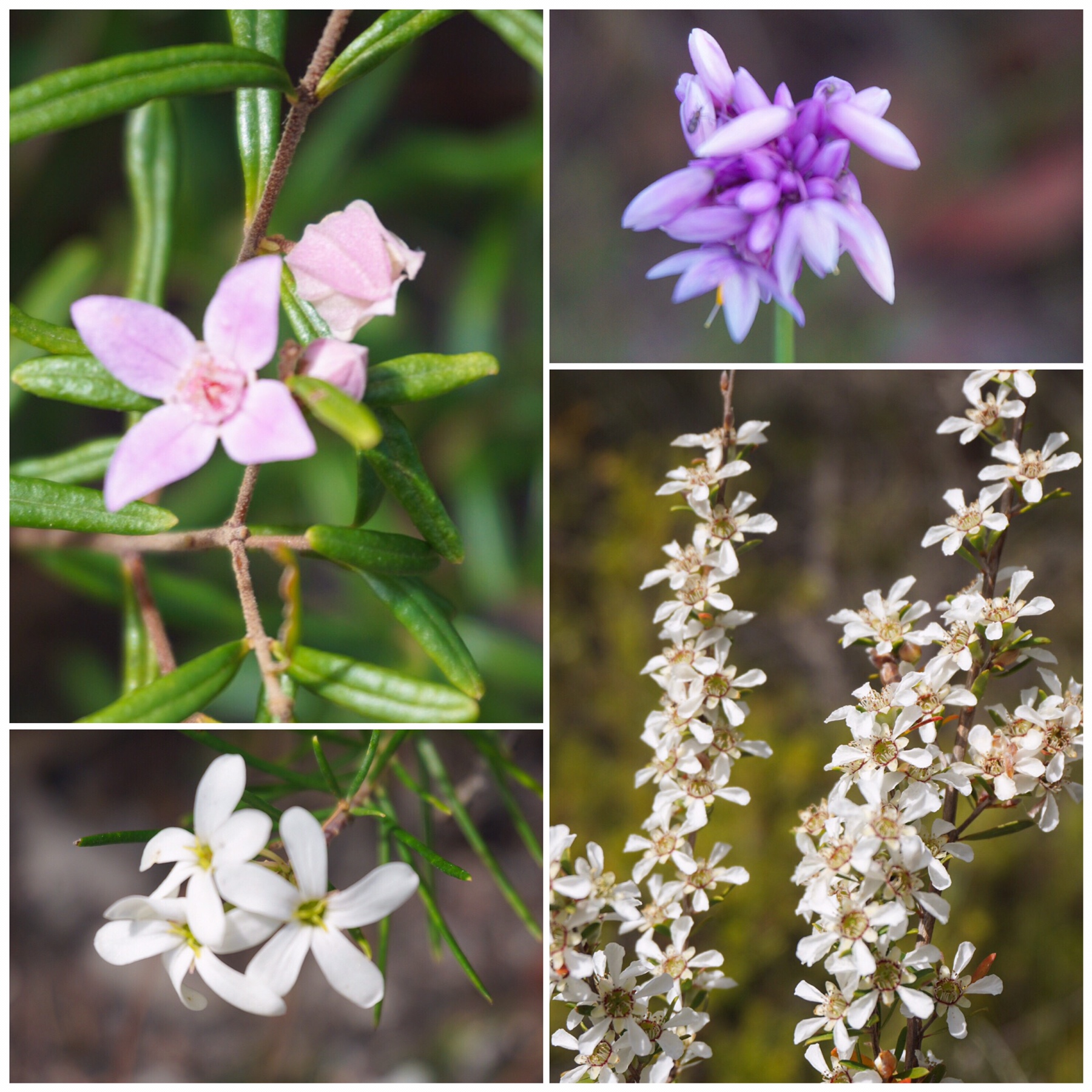 Several varieties of boronia, teatree, bottlebrush, peas, heath, eucalypts and more brightened our pathway, accompanied by the rhythmic hum of insects feeding on the nectar. It really was good for the soul and reminded us how much we love bush walking at this time of year.
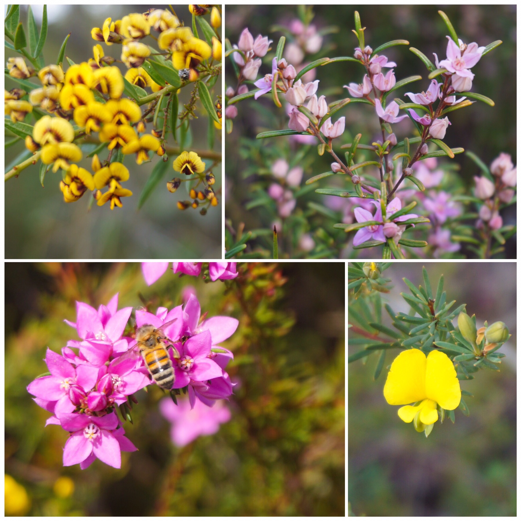
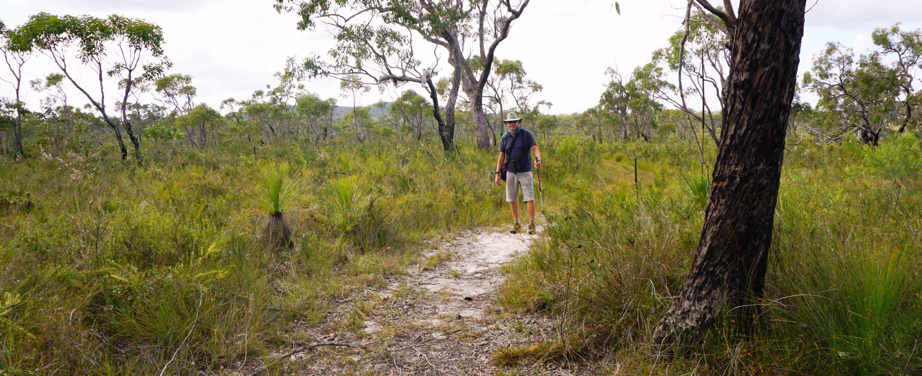
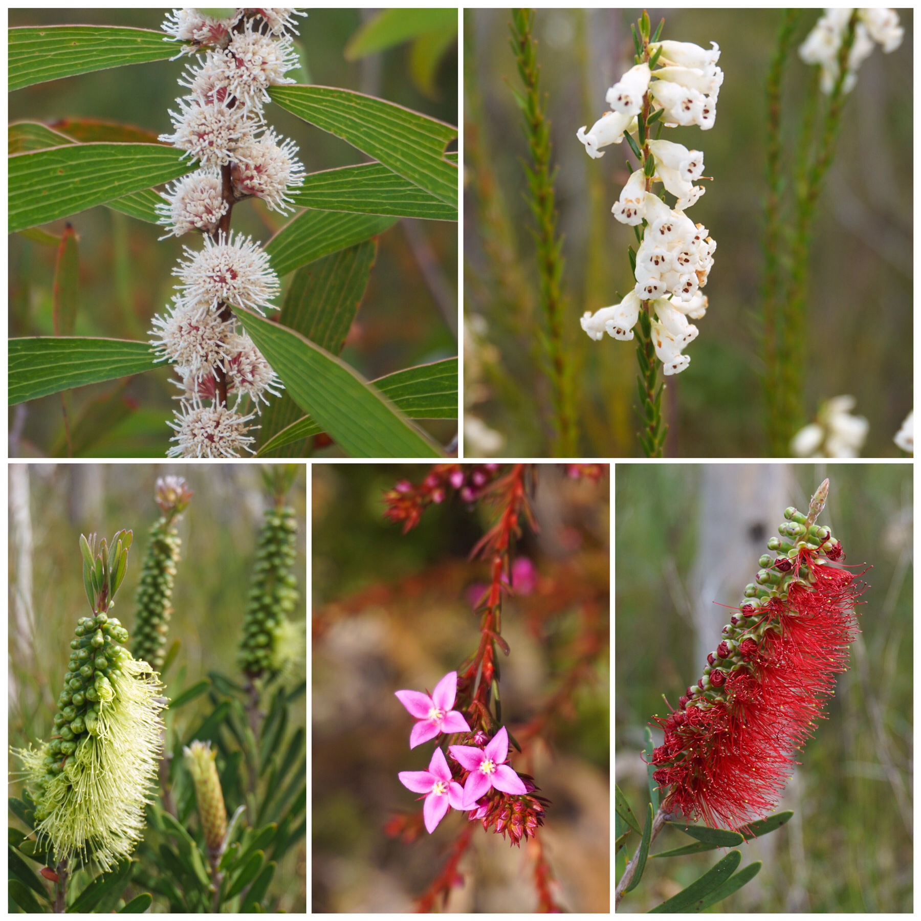 The pathway was well marked and predominantly white sand or grass, very easy walking with a couple of water crossings along the way. The landscape was quite open with good views to the east, across to the Great Sandy National Park.

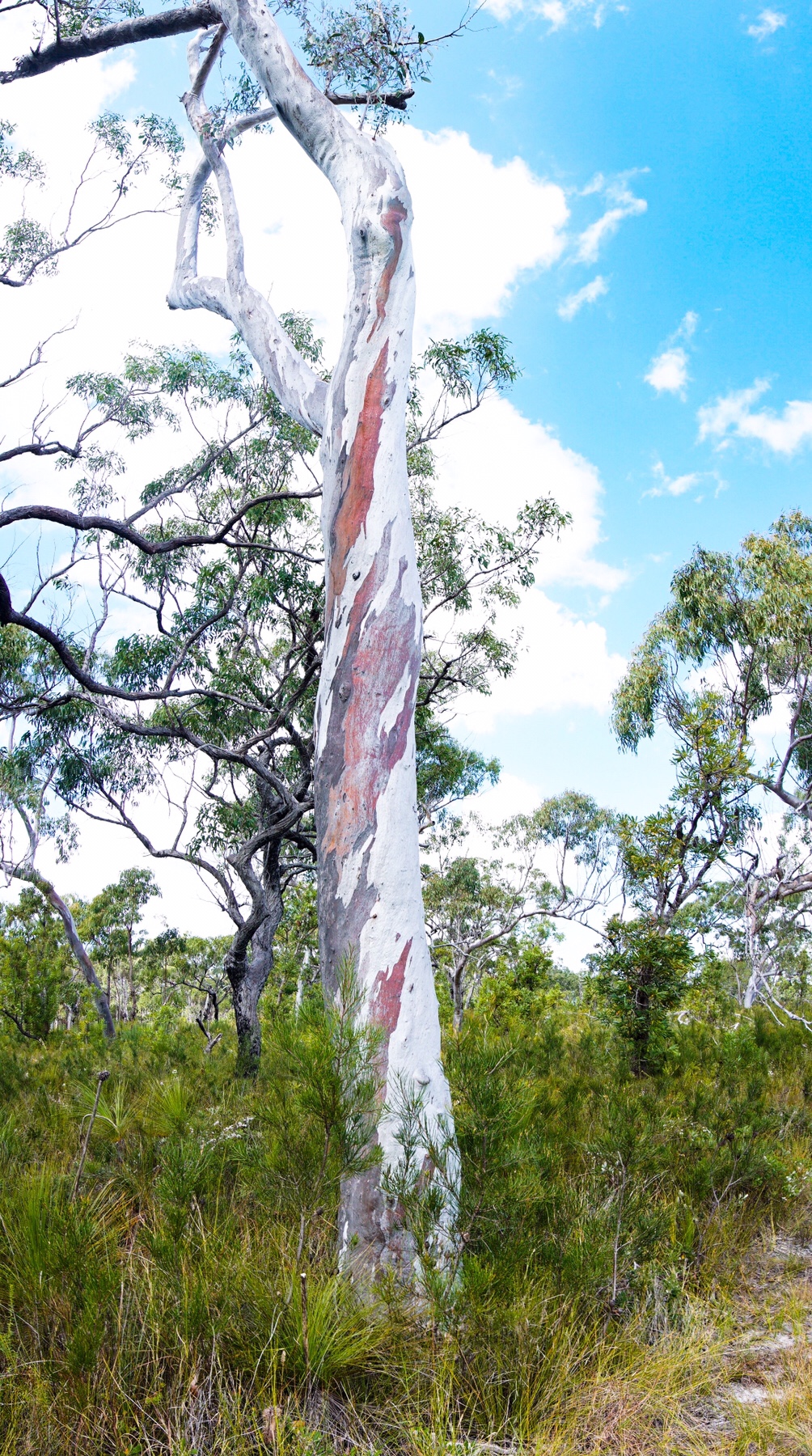
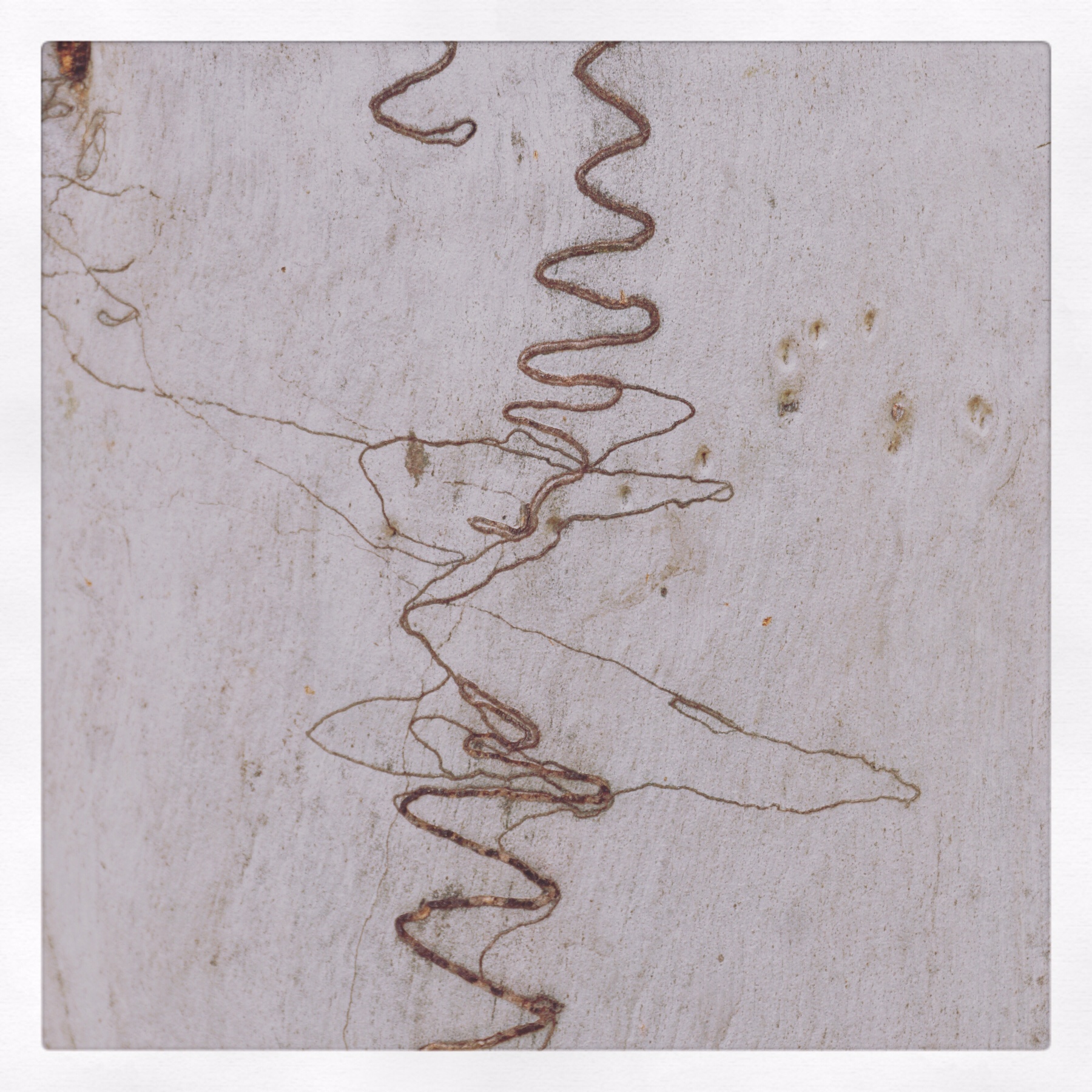
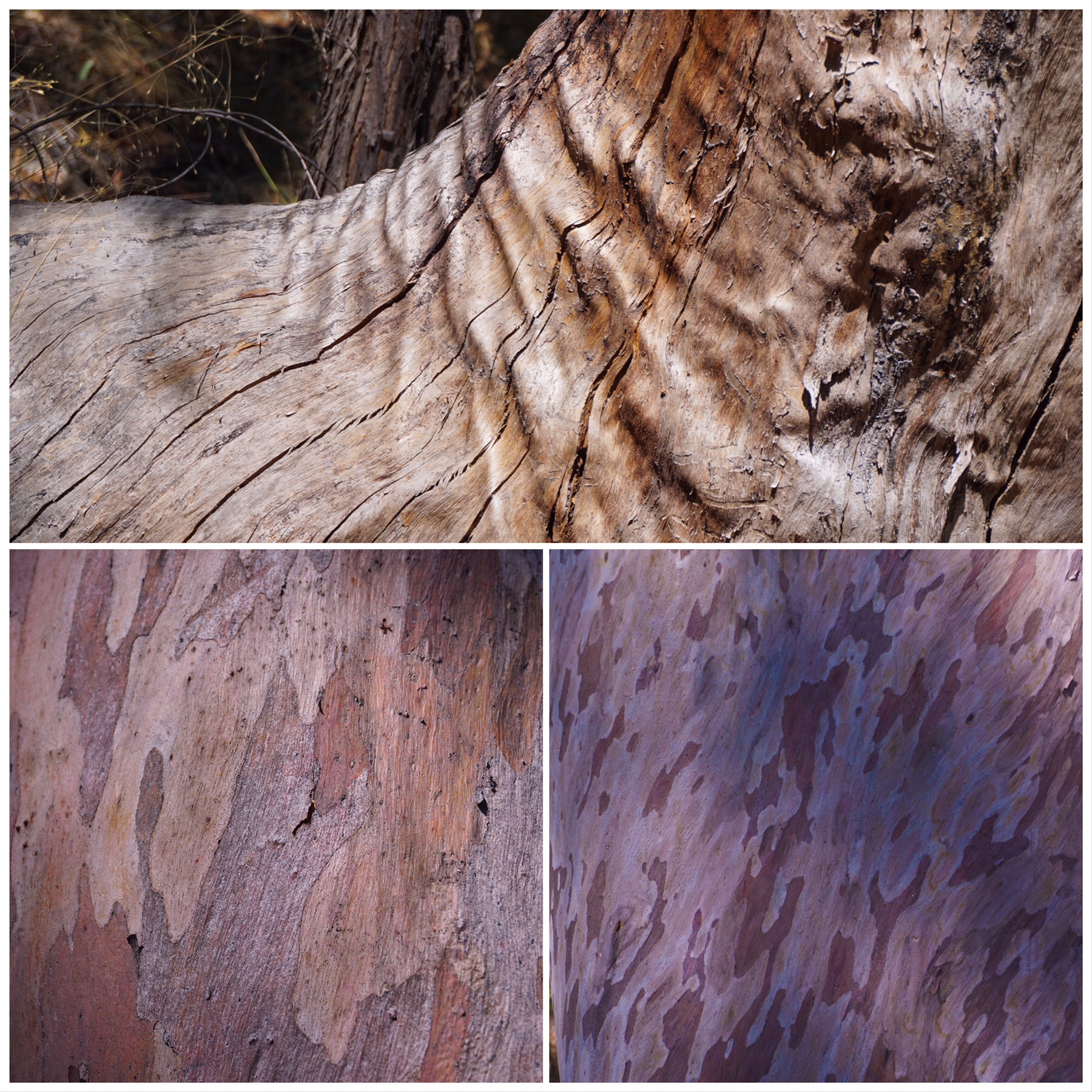
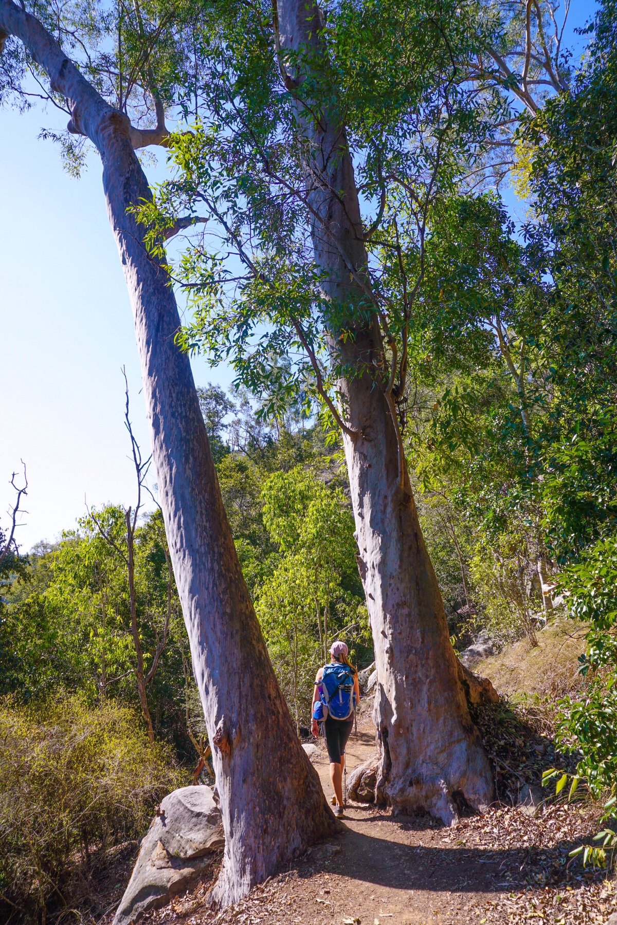
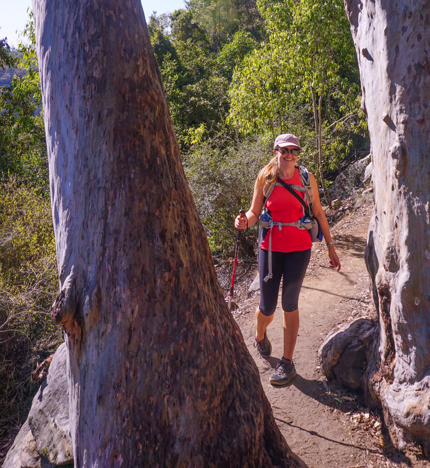
 Even the trunks of the gum trees were beautiful!
 We stopped walking after around 5km when we saw the path dropping steeply downhill, remembering we had to turn around at some point and return via the same route.
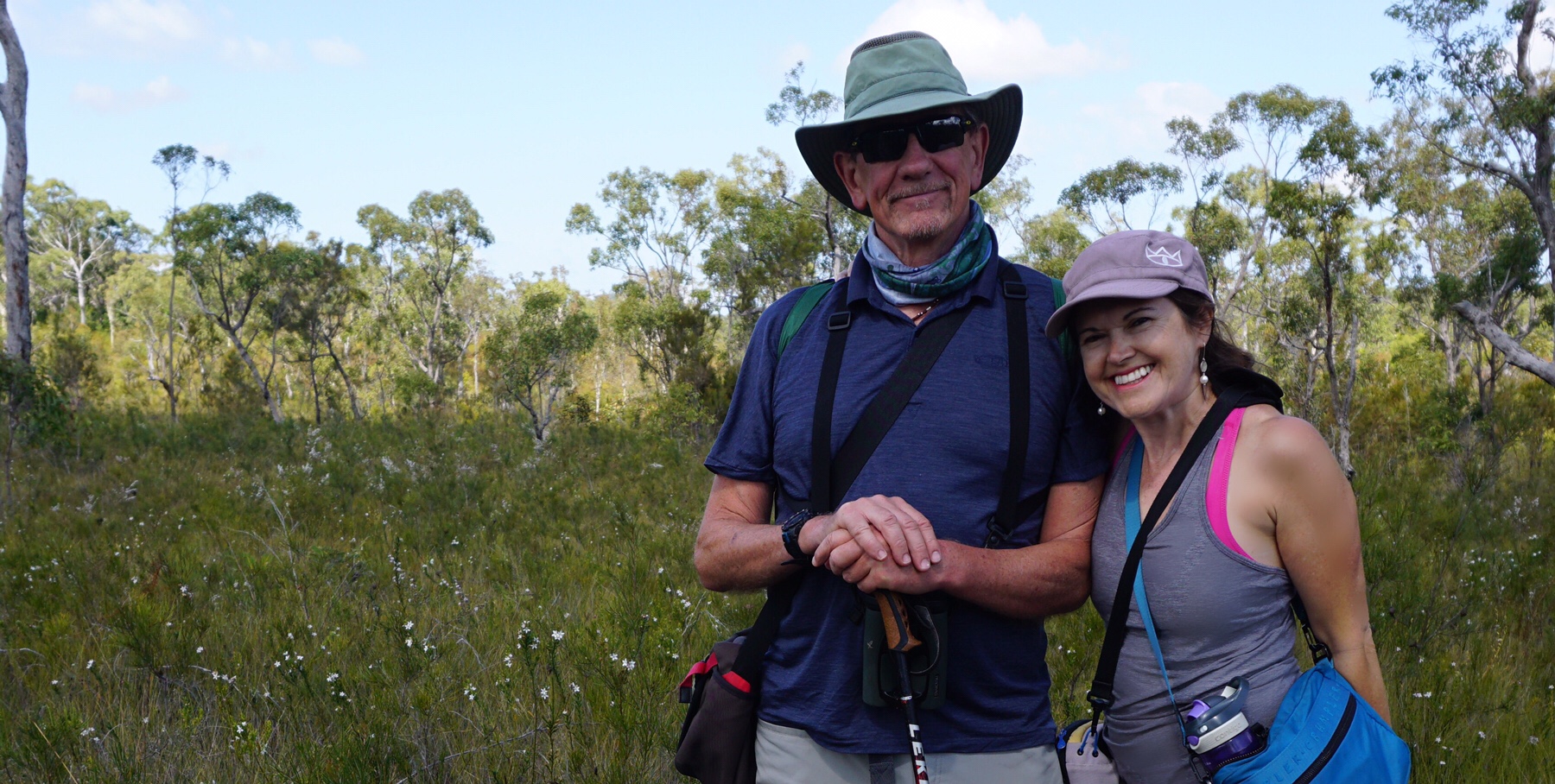 We definitely recommend getting out and enjoying the Australian bush at this time of year.
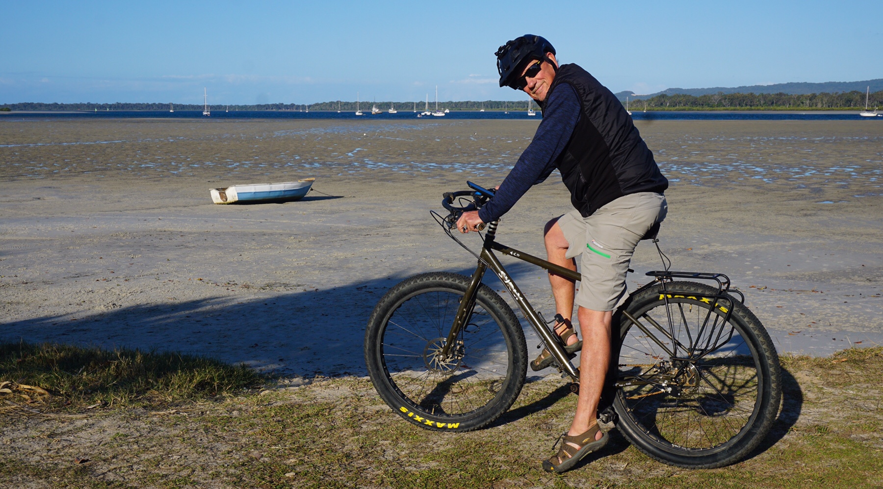
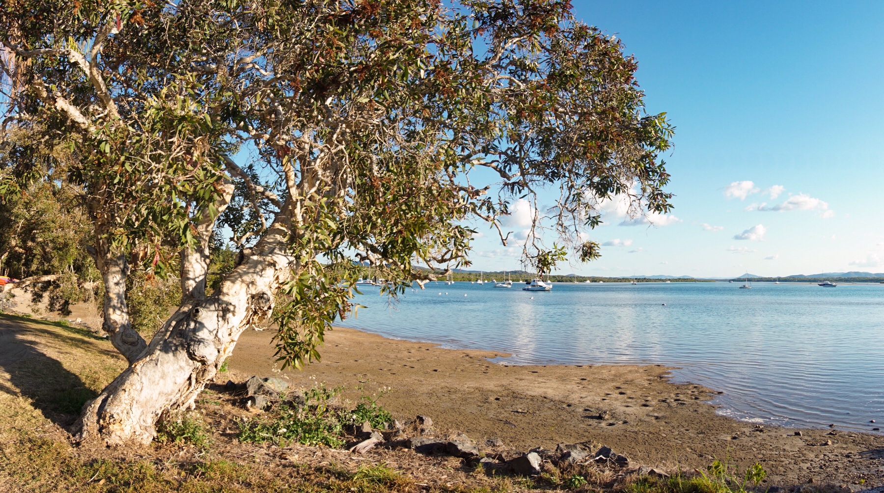 So good to be back by the ocean again, with those lovely smells of the sea air, the calm waters of the Coral Sea exuding a tranquility that we just soaked up, over a cold beer.
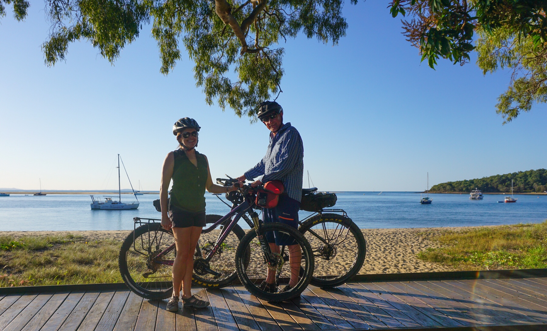
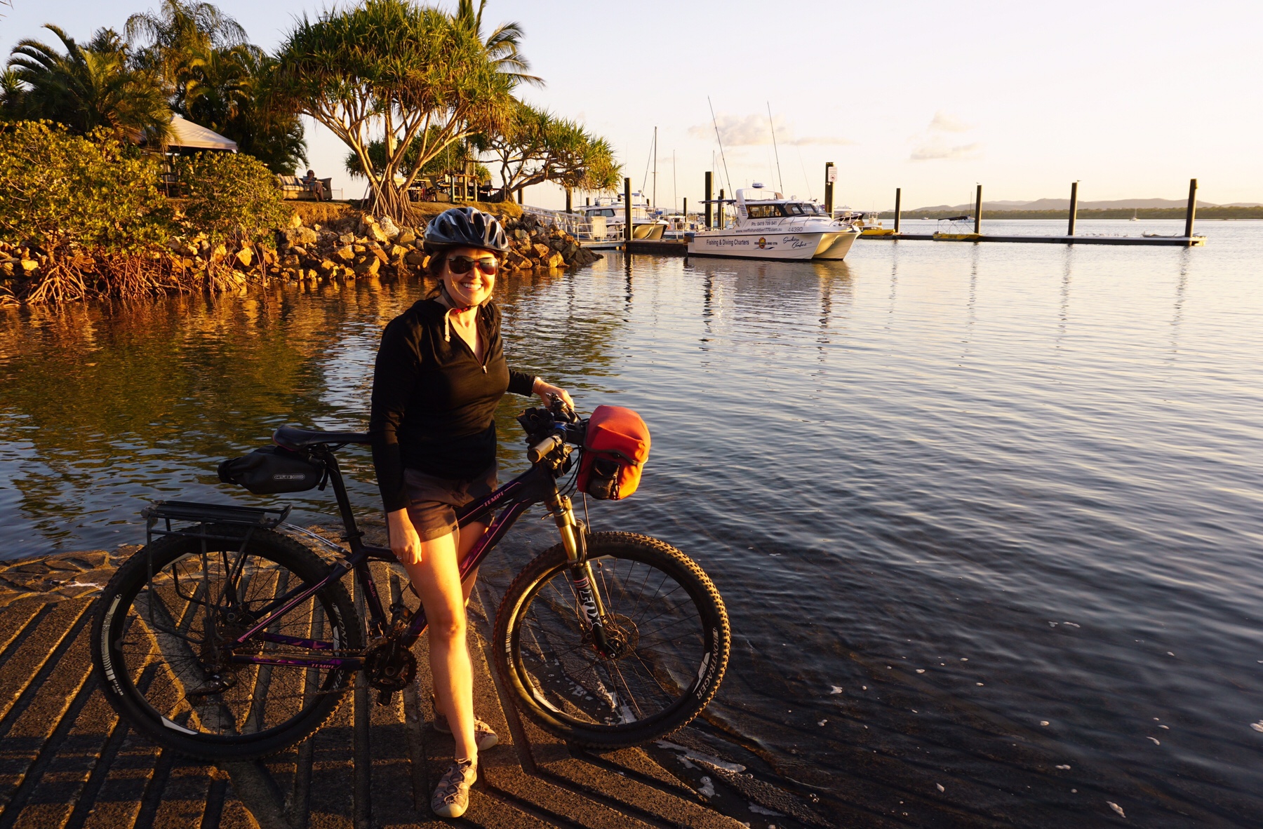
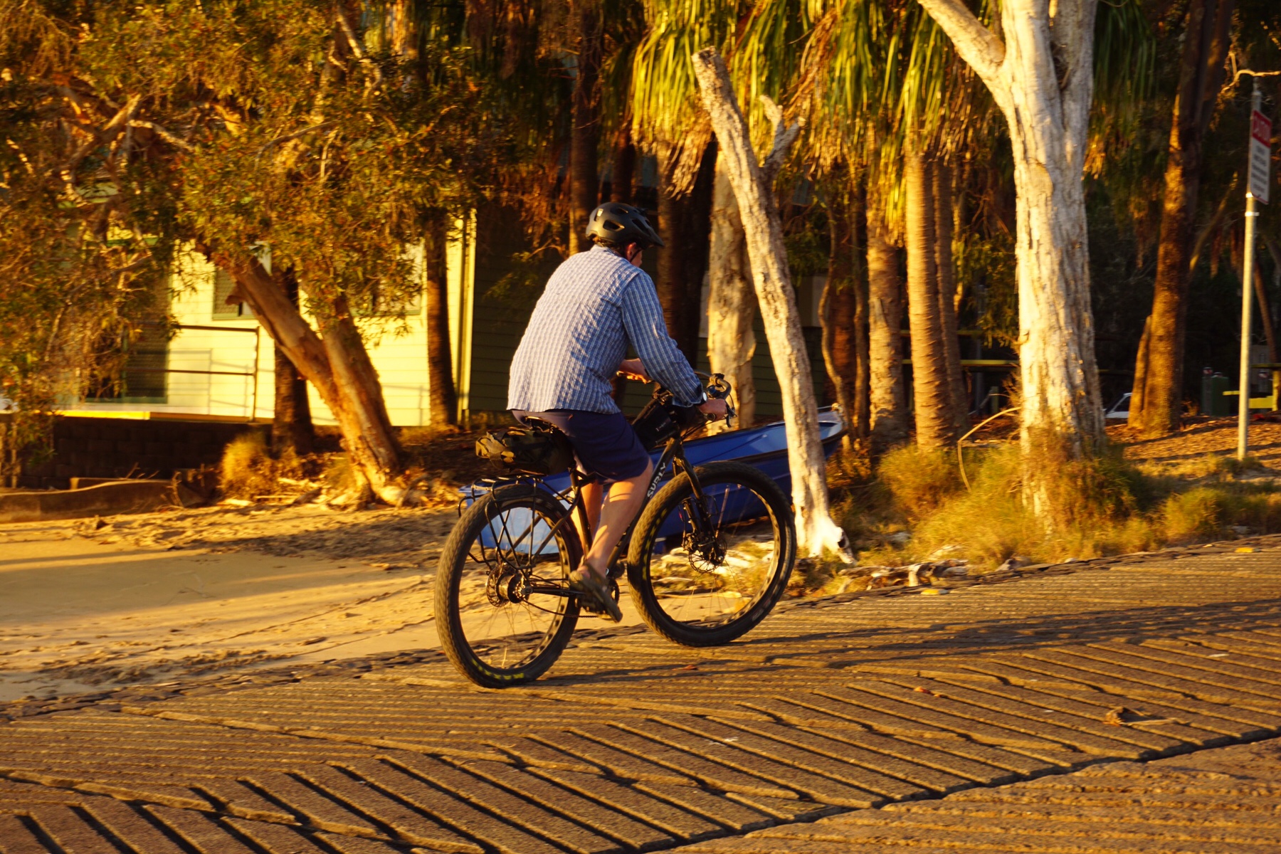 I did smile though on seeing this cafe perched in a car park, next to the road, when the other side of the building was…..
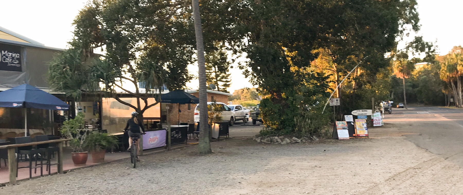 …this view! I don’t think 1770 has quite made it into 2018 – and that’s part of its appeal.
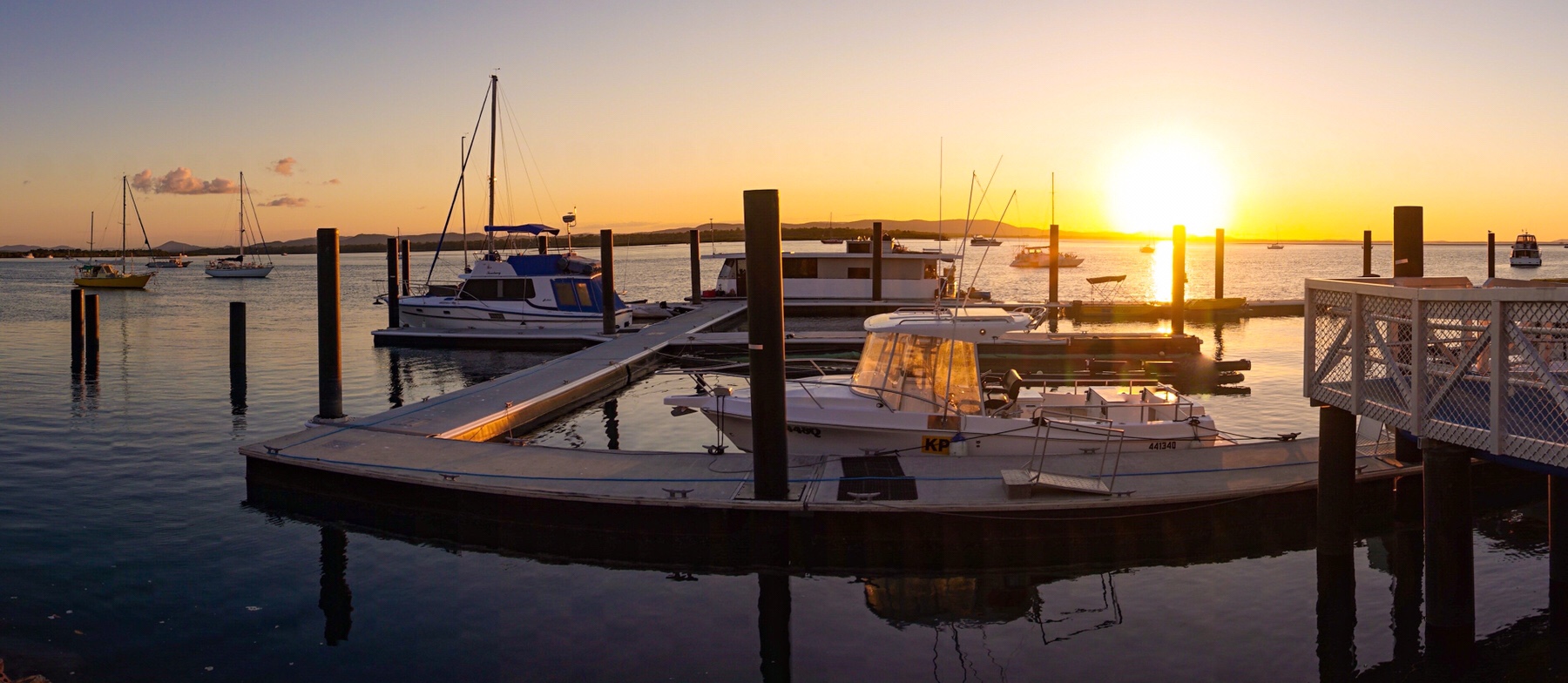
 This was a little less sleepy, with a few shops and restaurants, one of which we had been told was going to be offering an Indian focused menu tonight. A booking was made – this little business is clearly making an effort to do something a bit different. A range of speciality teas lined the walls that almost rivalled our selection in the Zone!
 Then it was back to Cafe Discovery for their take on Indian food. A beef vindaloo and chicken tikka masala went down a treat.
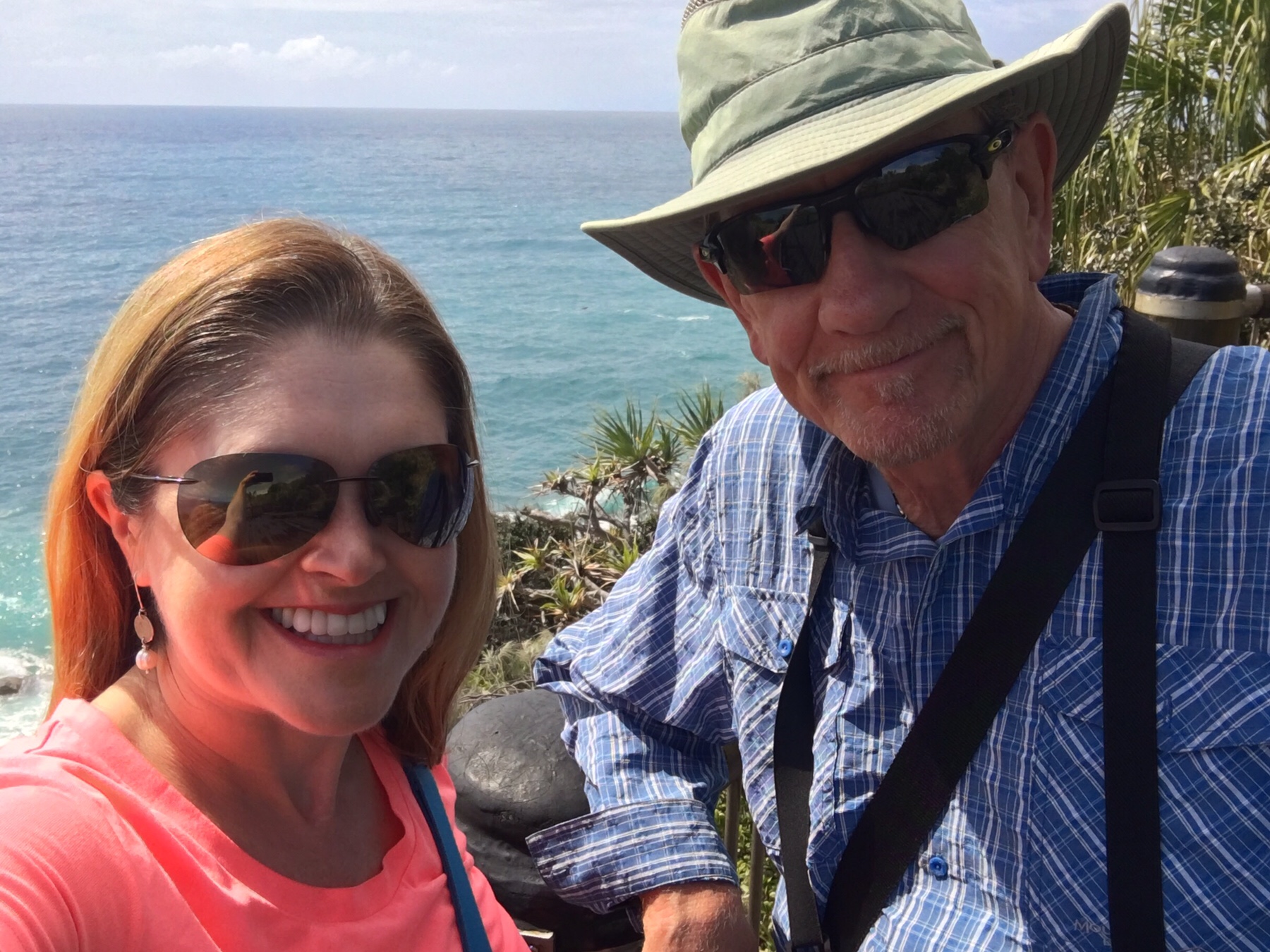
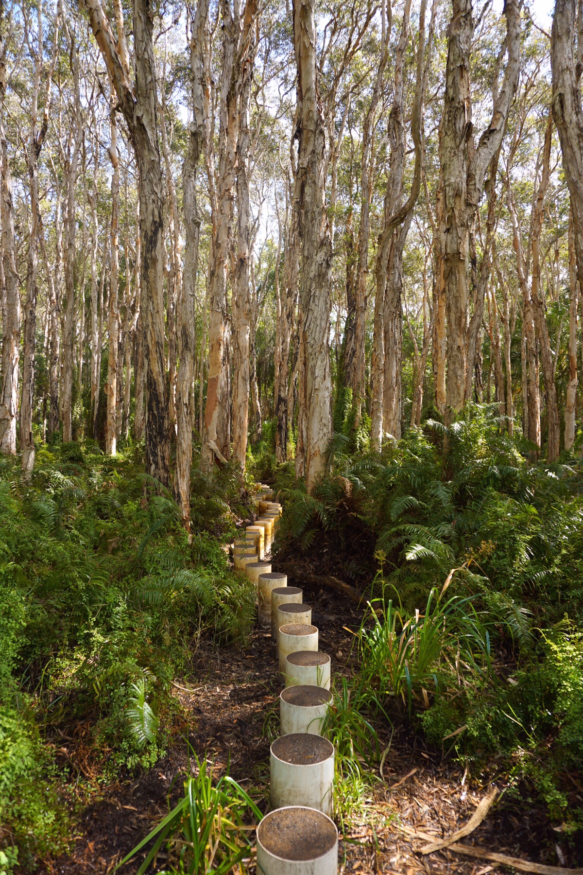
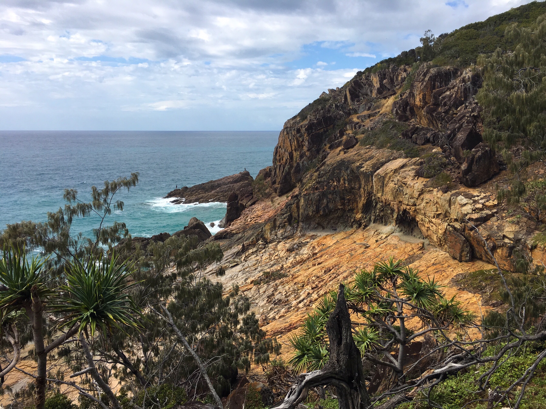 We decided to brave the weather and headed out for a walk, so glad we did. The first short walk we did through a paper bark forest was magical with the sun making the dripping vegetation just sparkle.
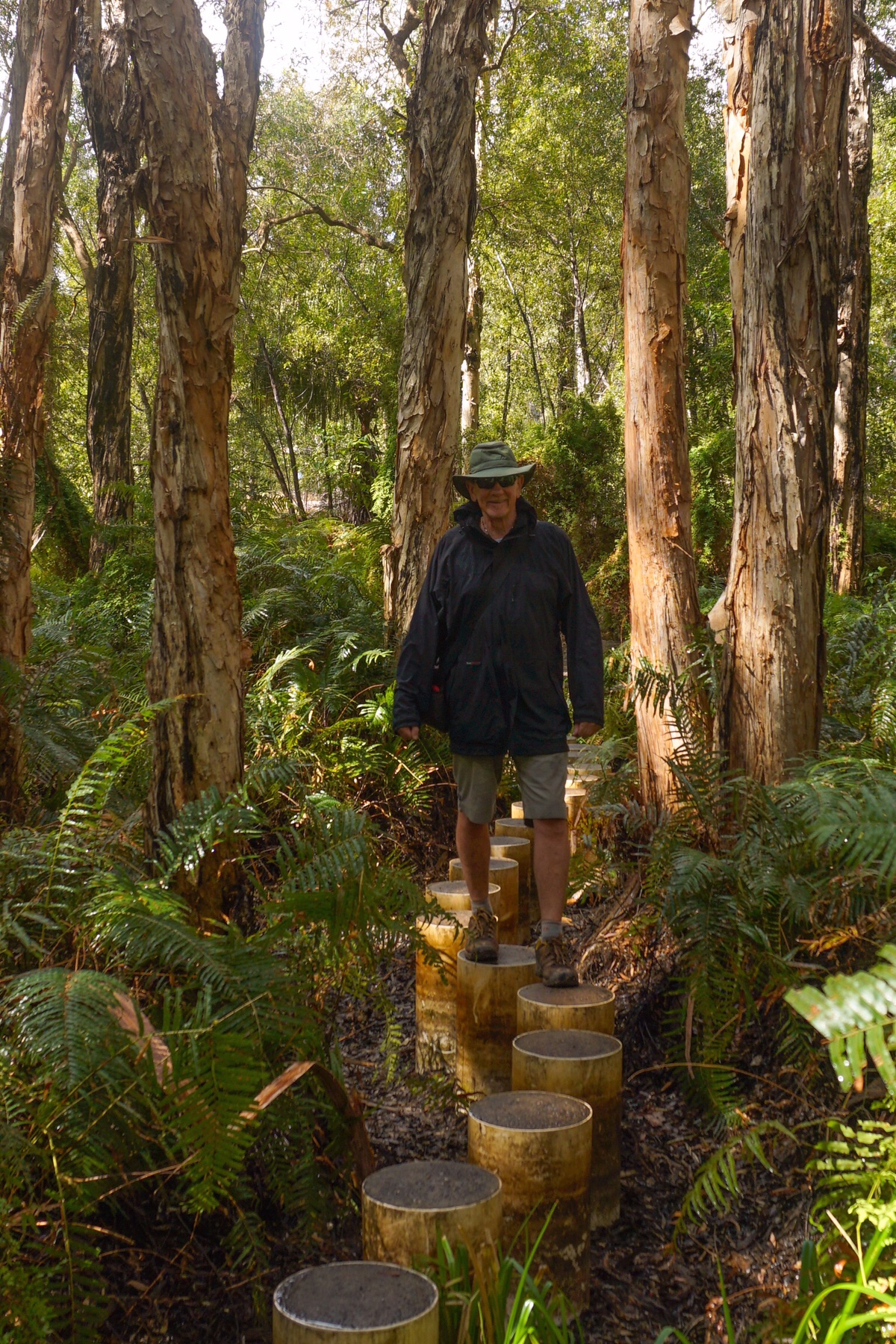
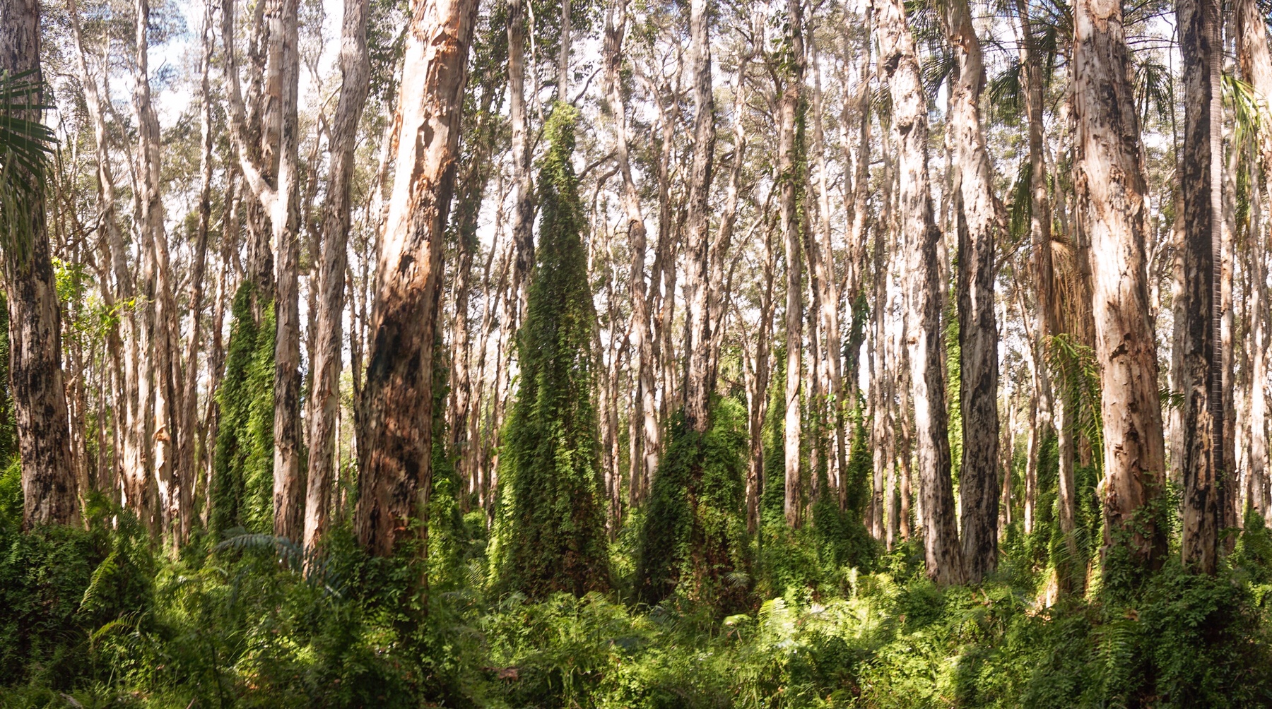
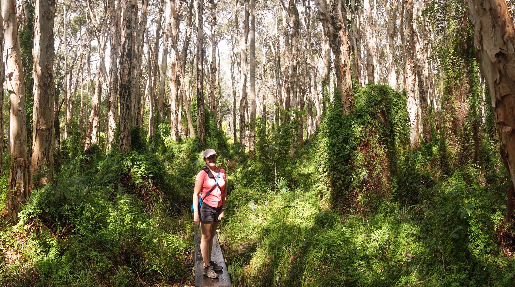 Then it was a 6km coastal walk, although the weather then closed in and it really started to throw it down, complete with thunder and lightning.
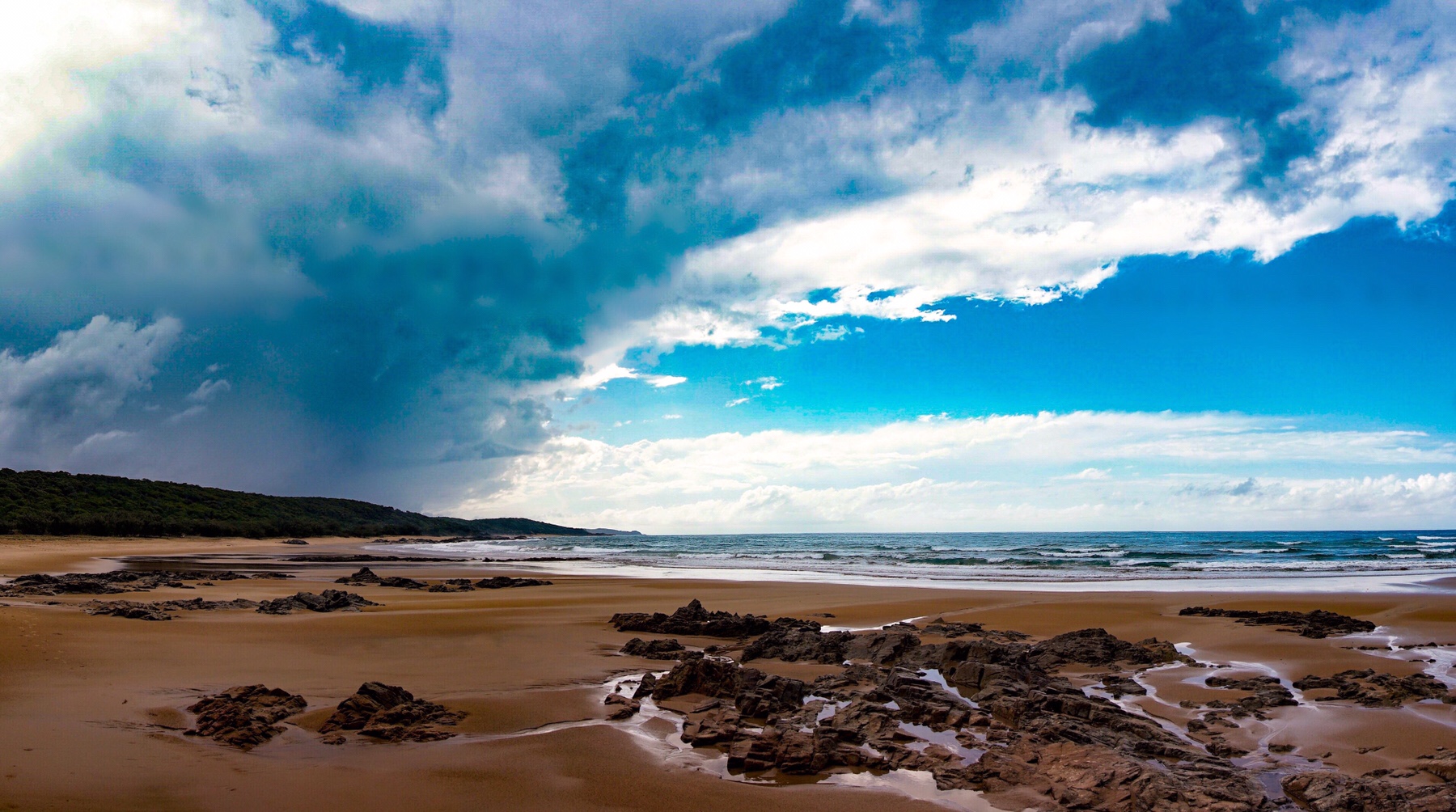
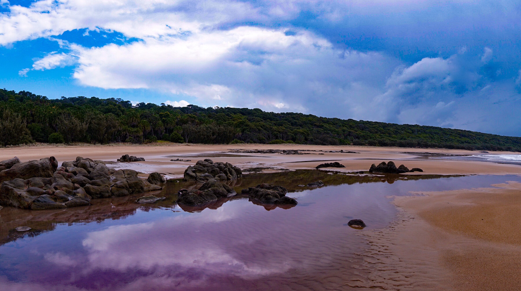
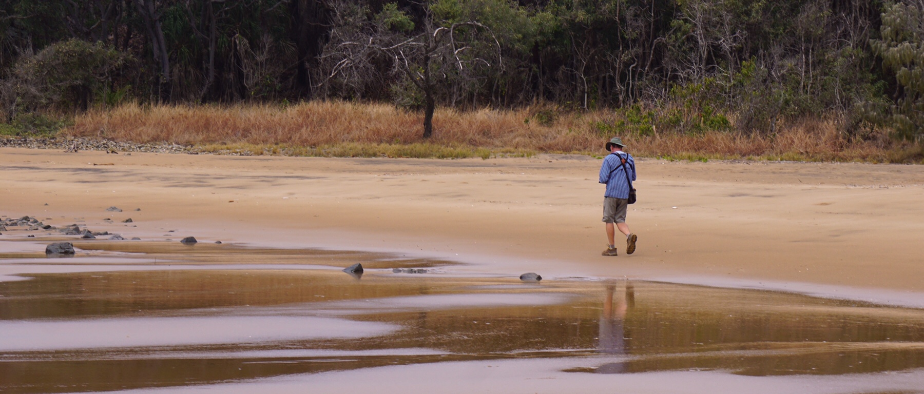

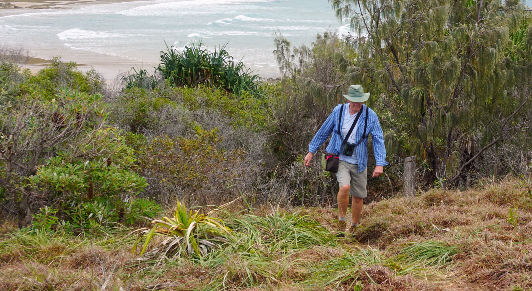
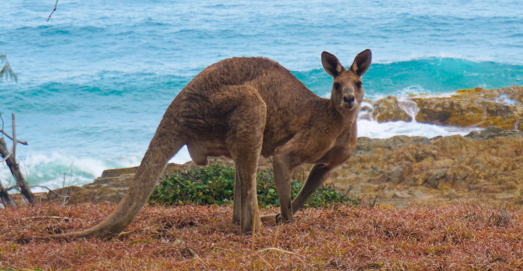
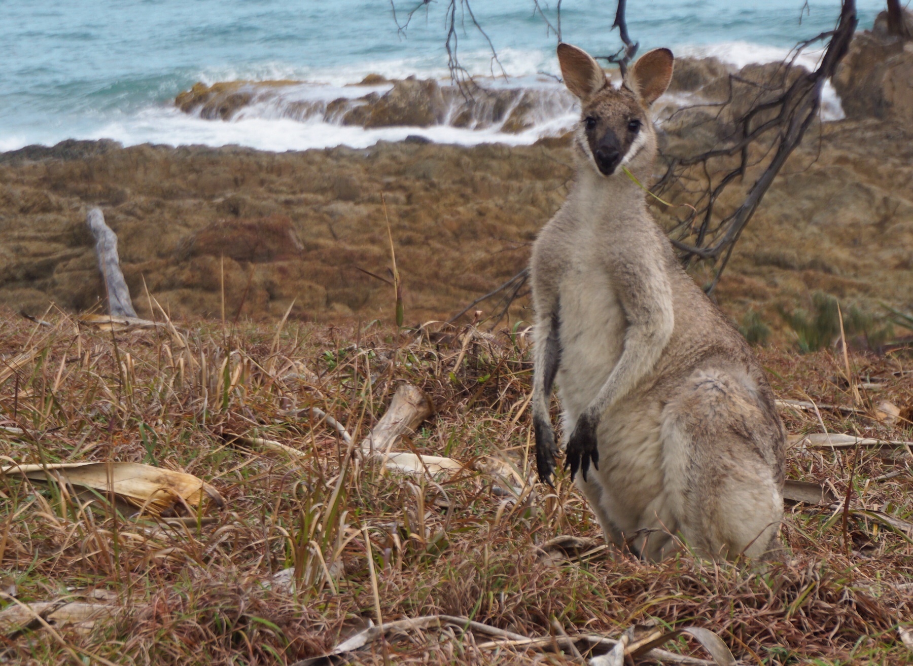
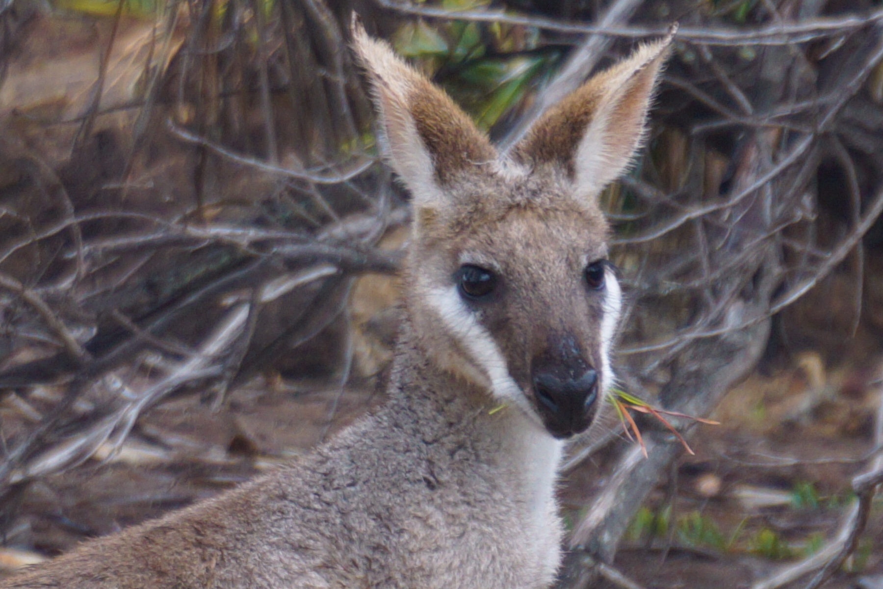
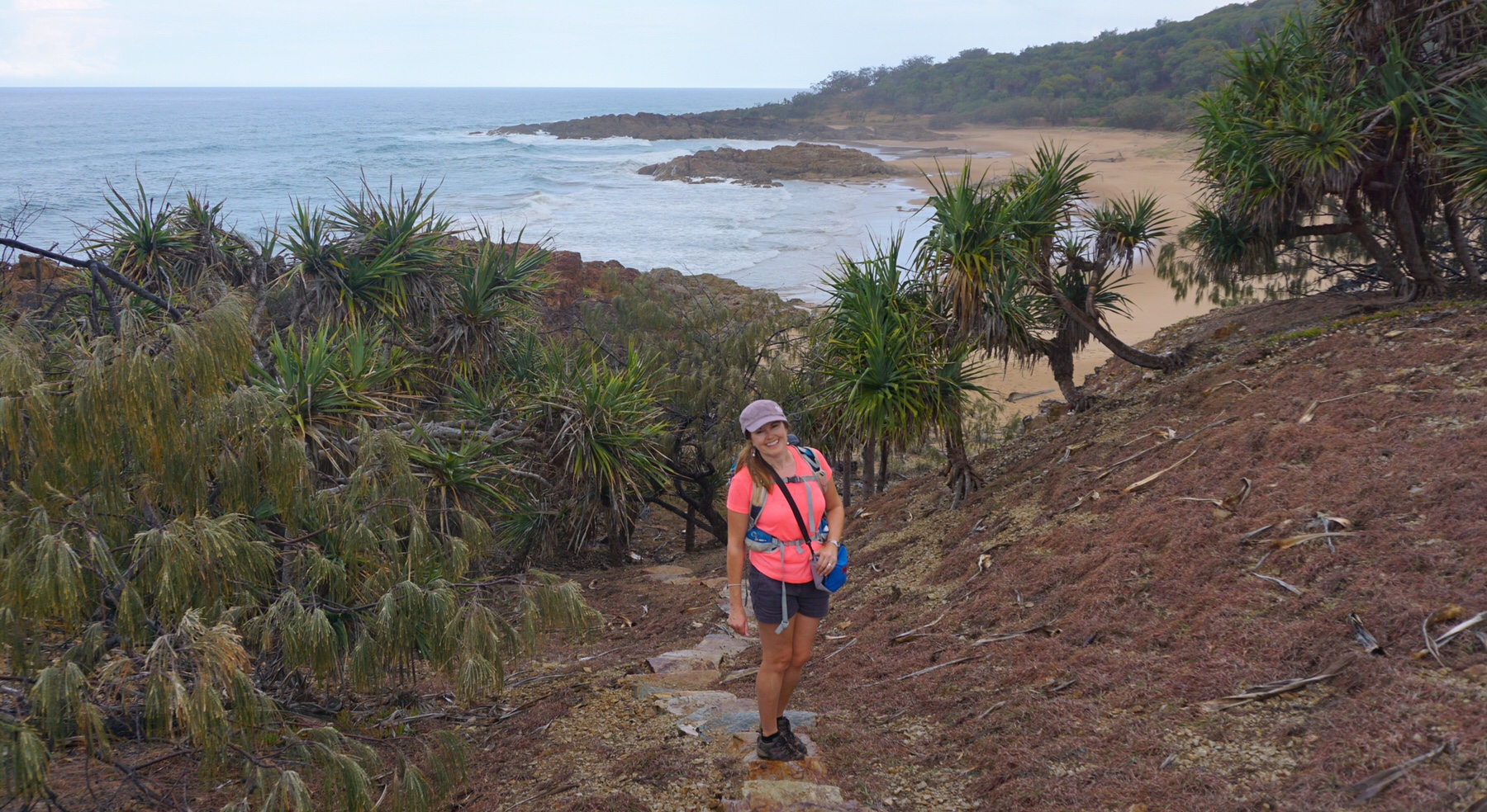
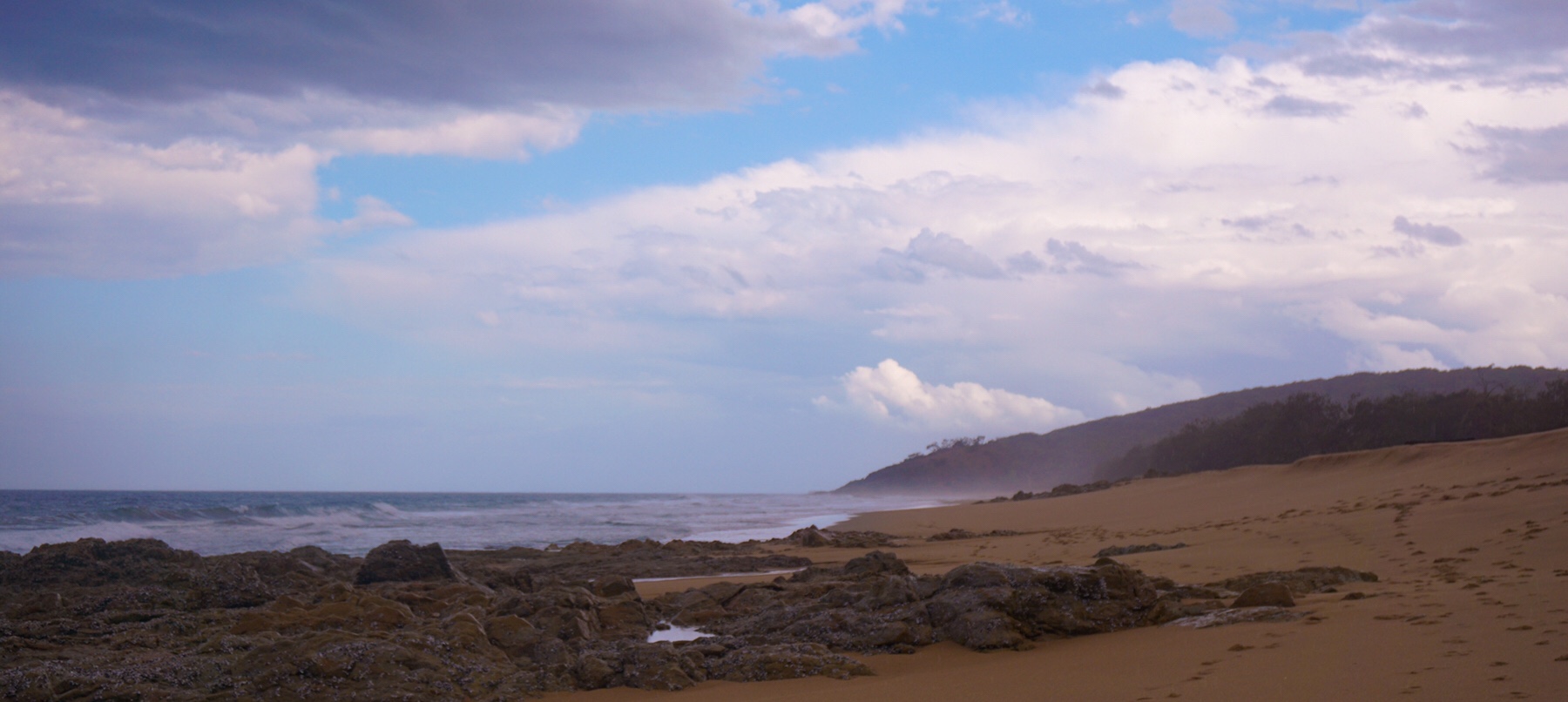
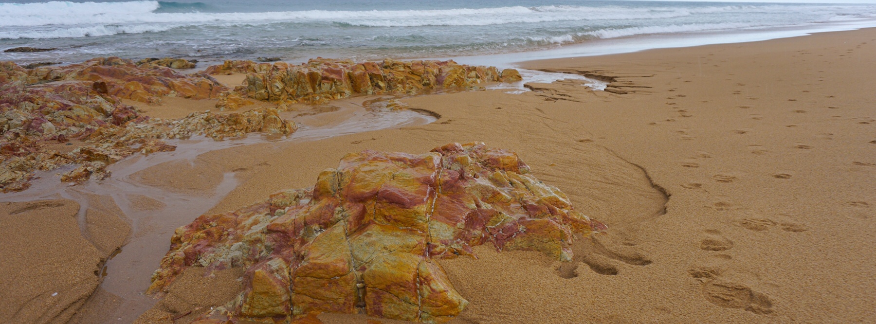
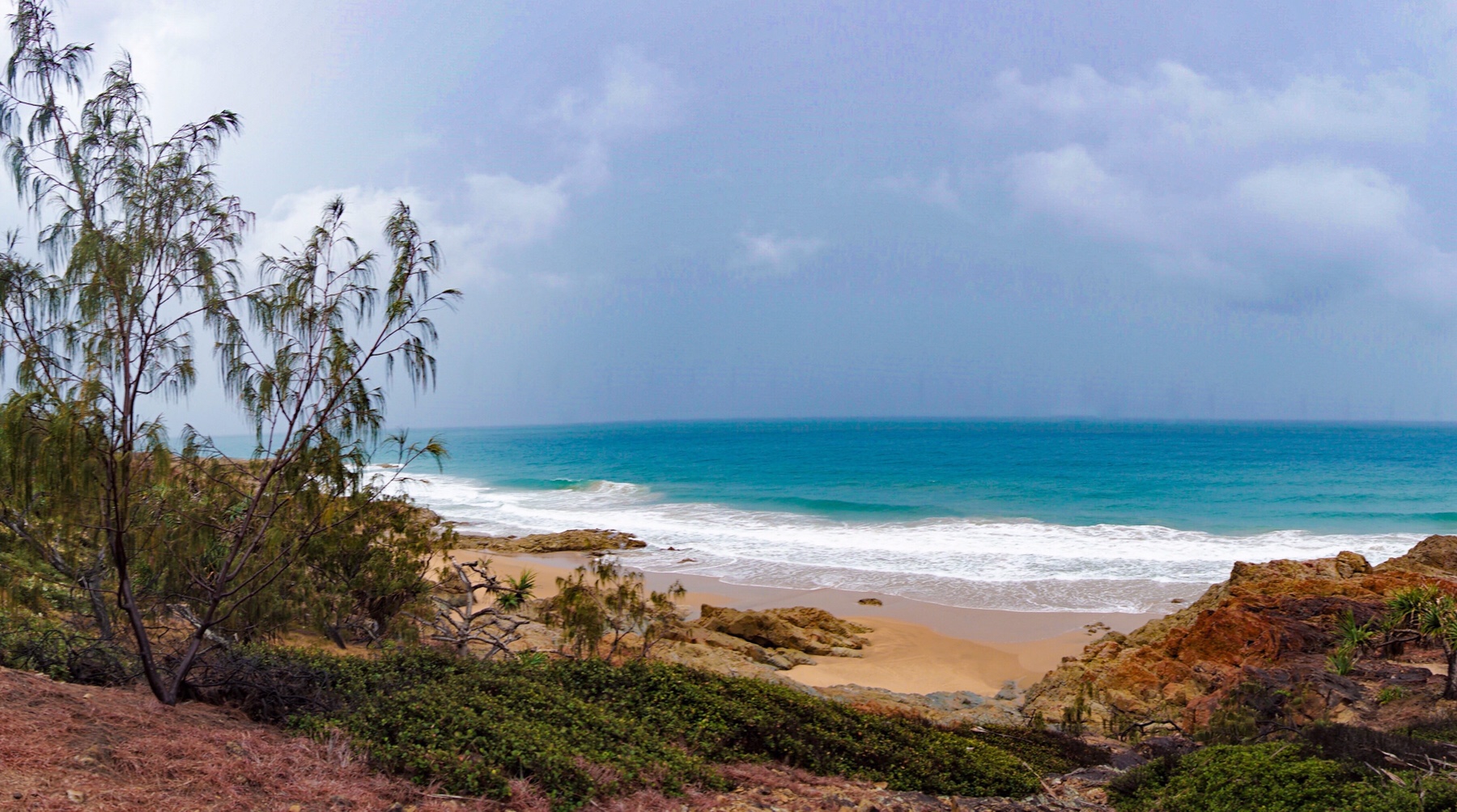
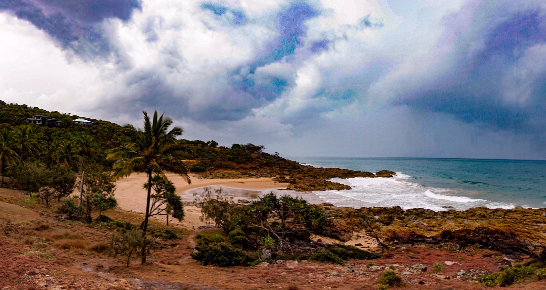 Back to the park and a quiet Sunday night (when isn’t it nowadays!) and plans made for our departure tomorrow.
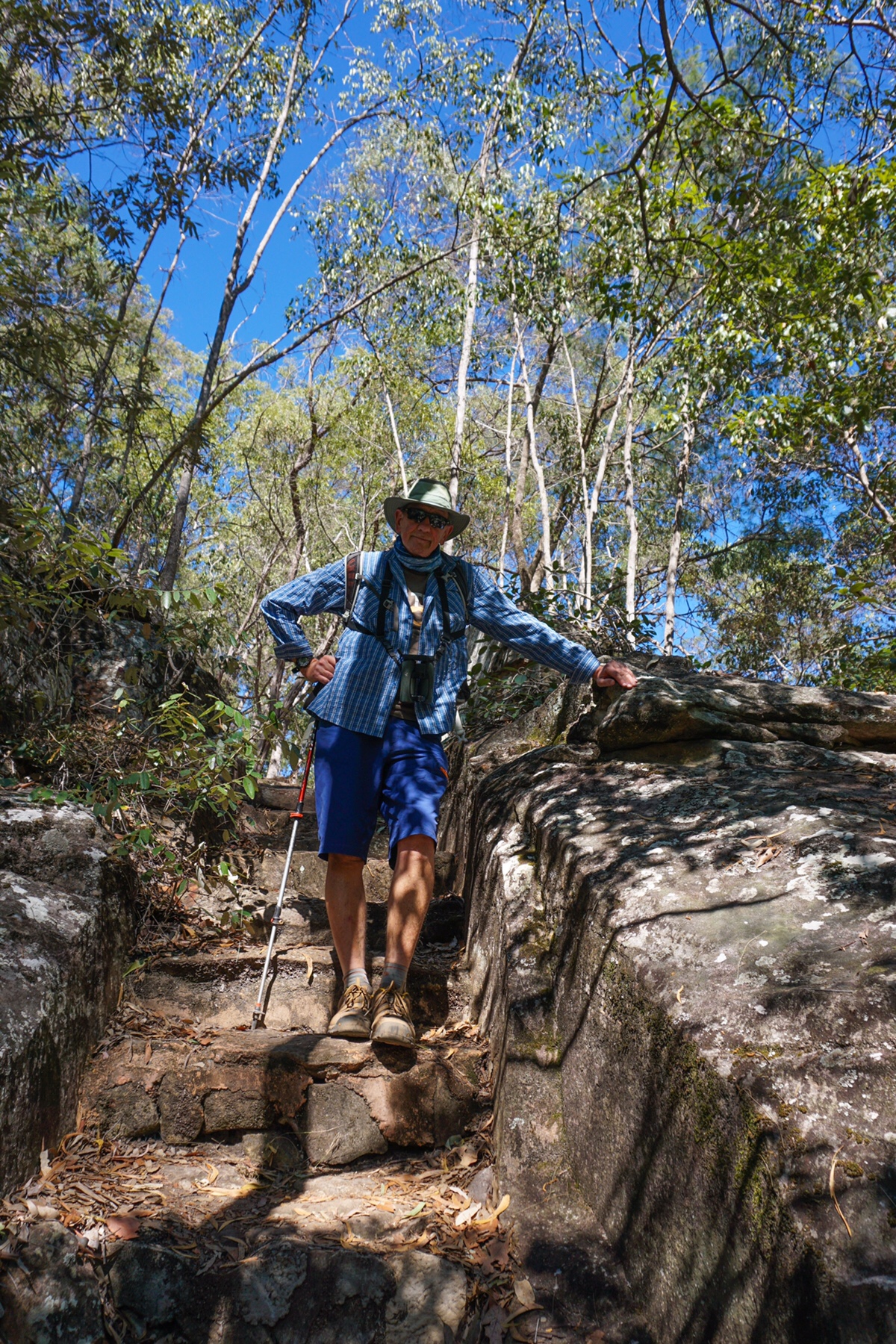
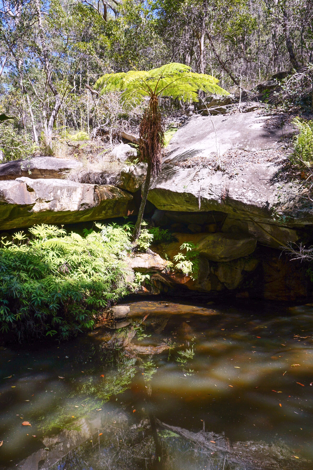
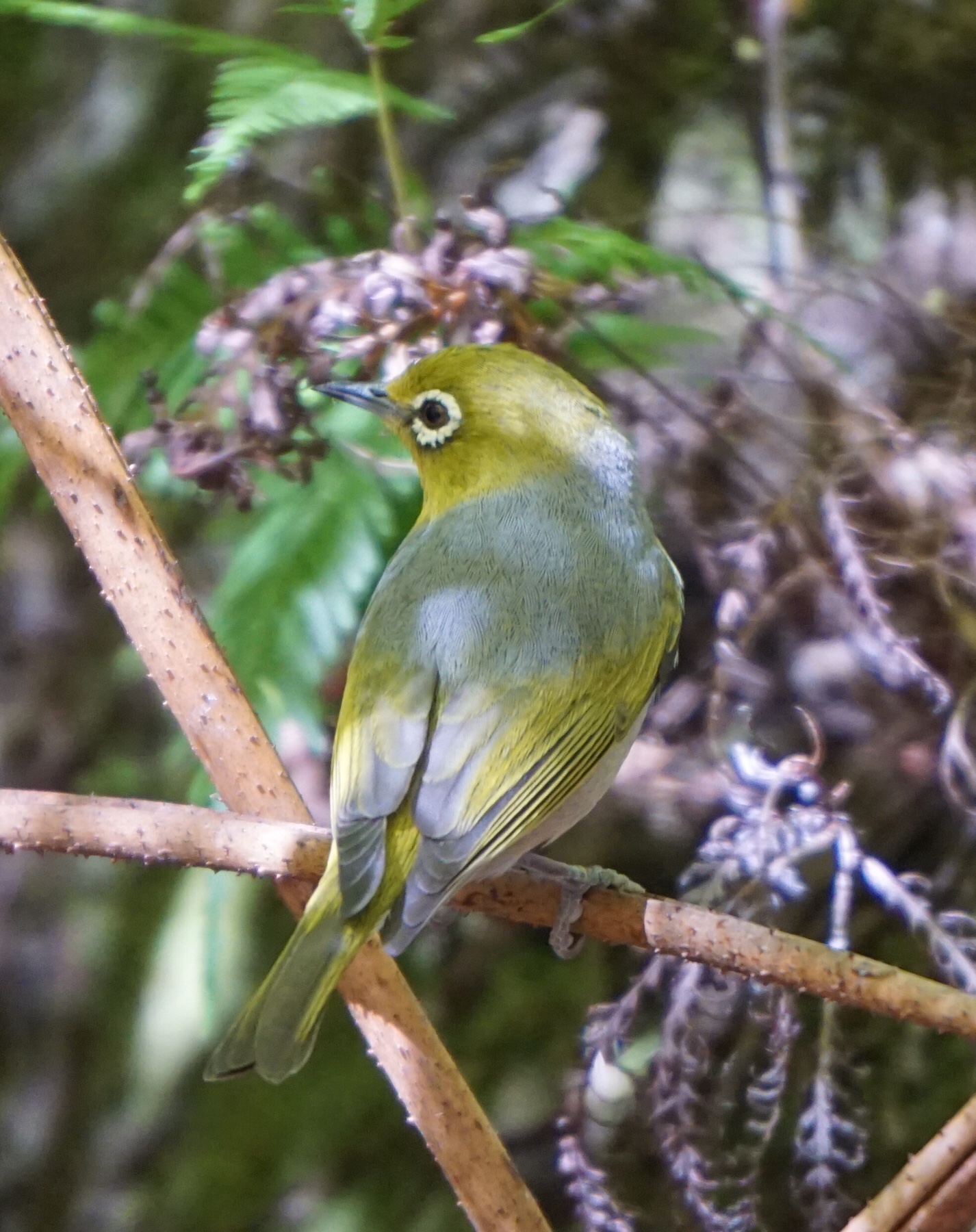
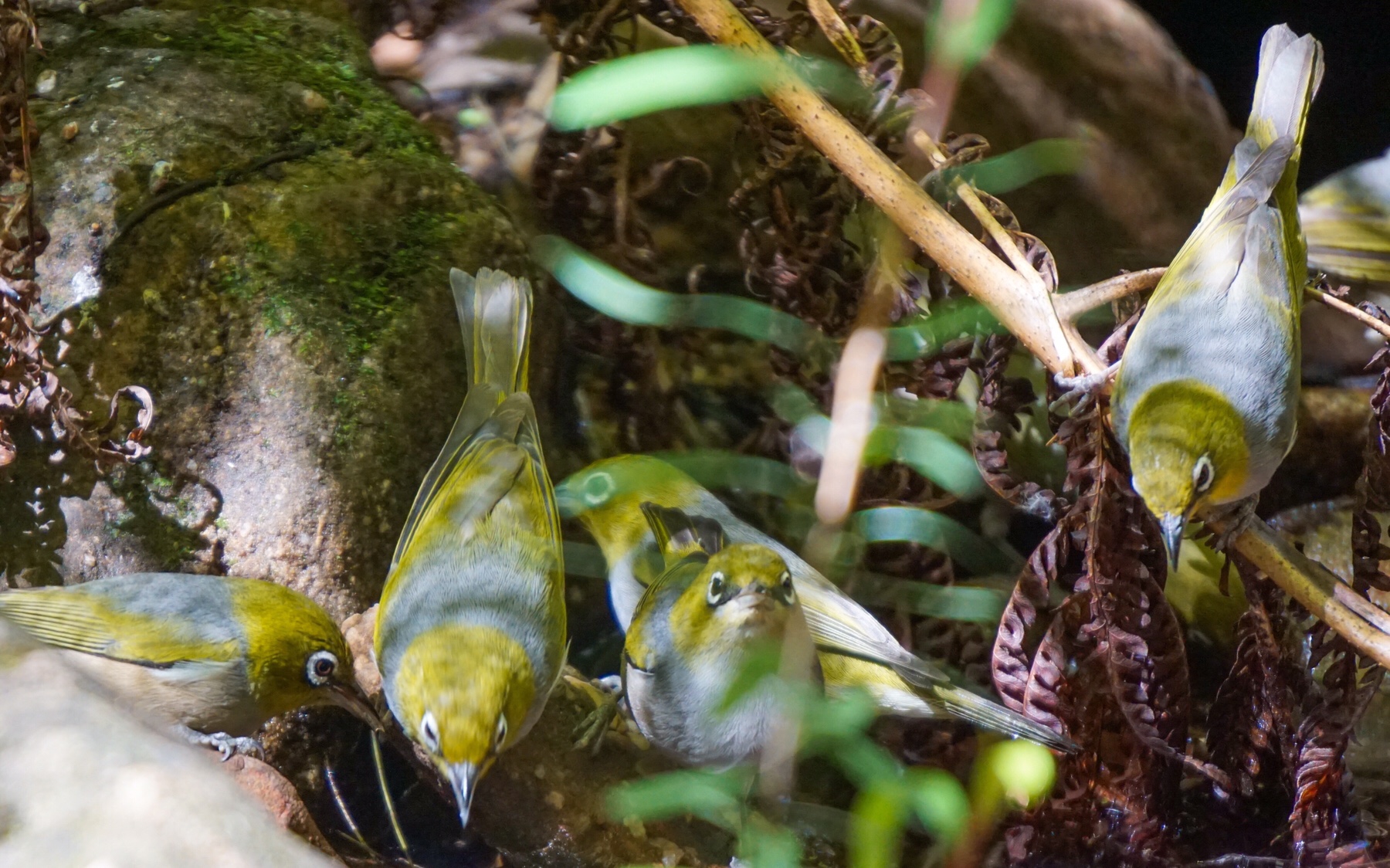
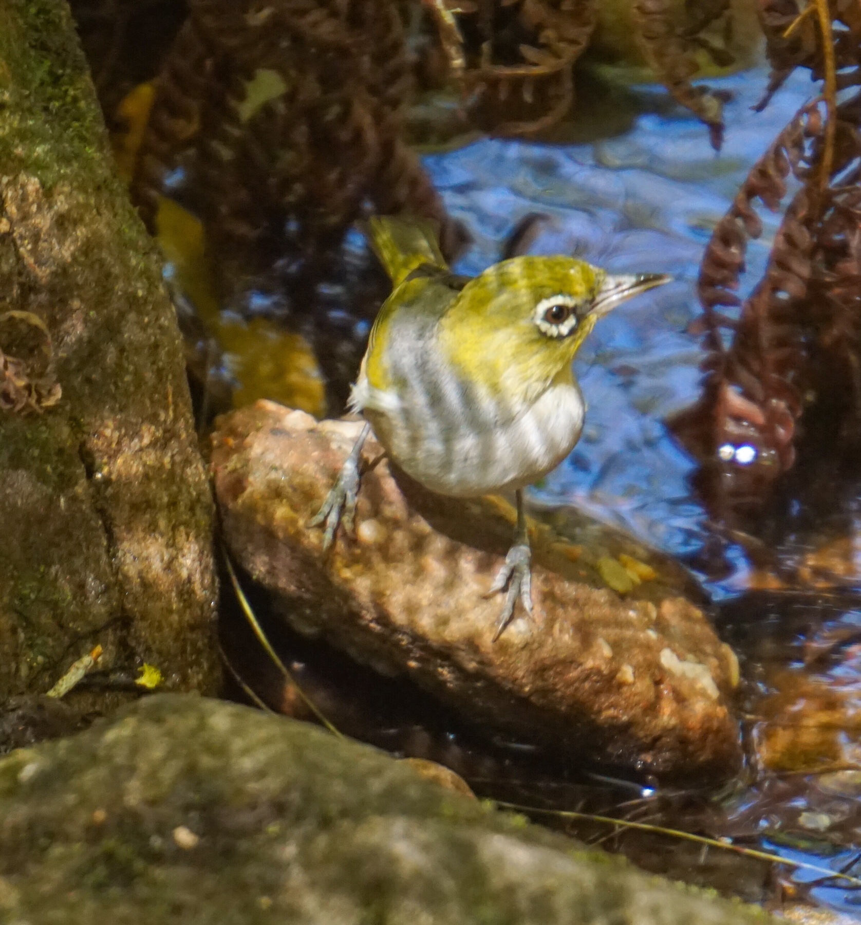
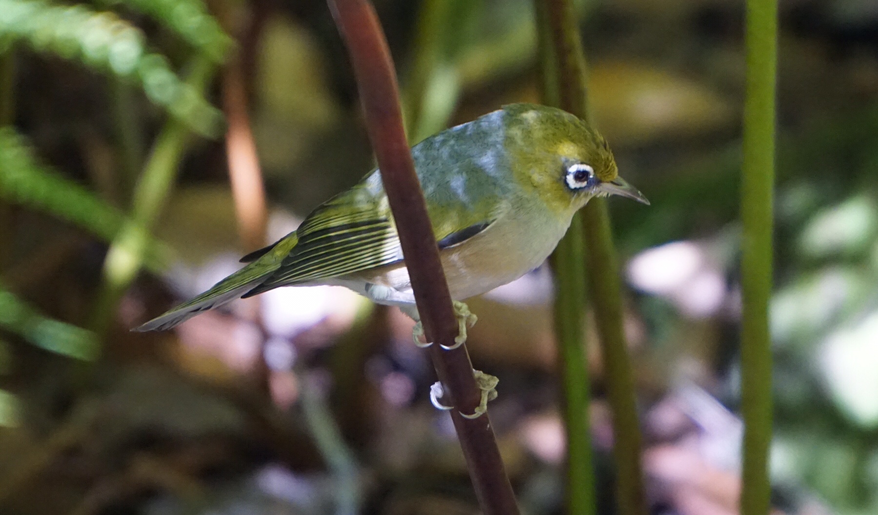
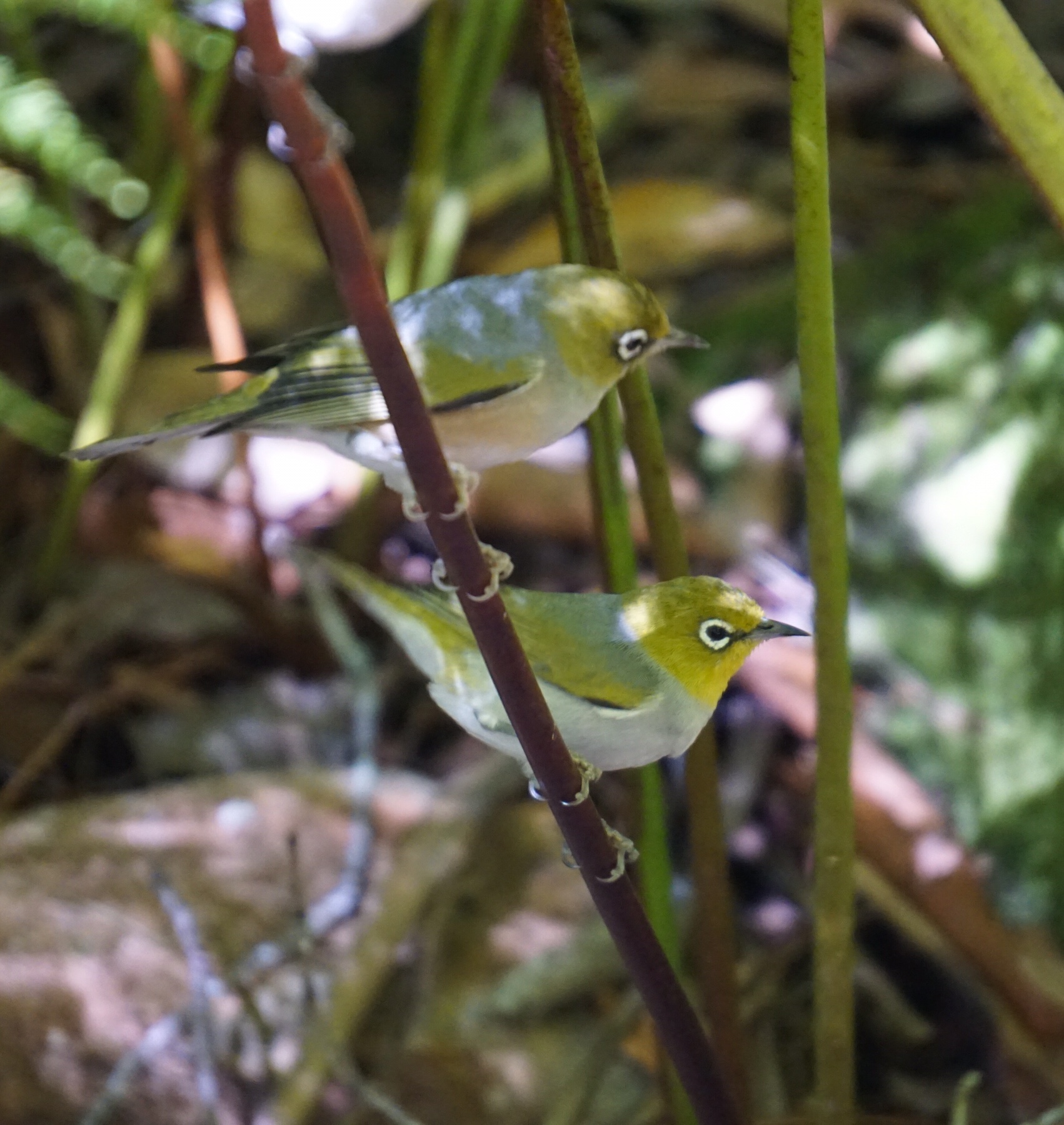
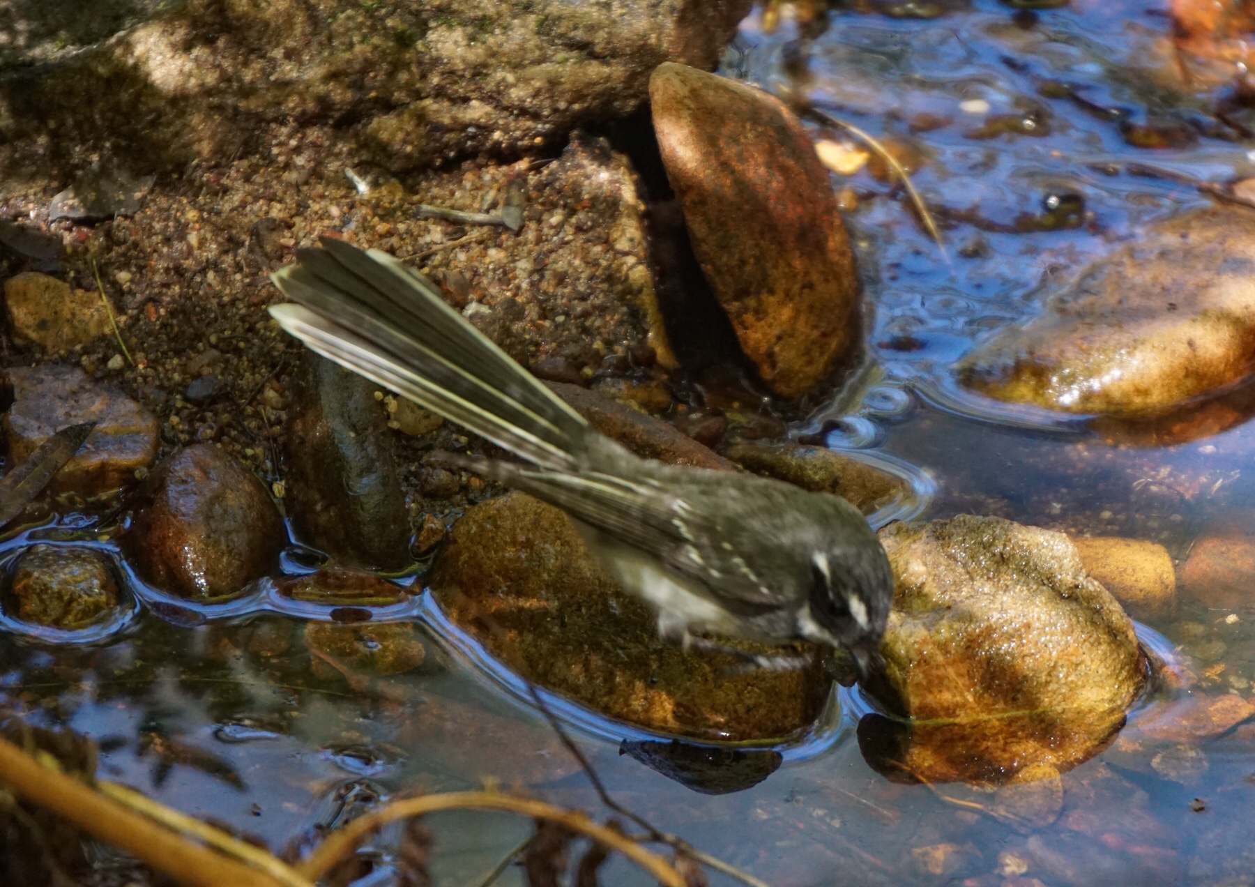
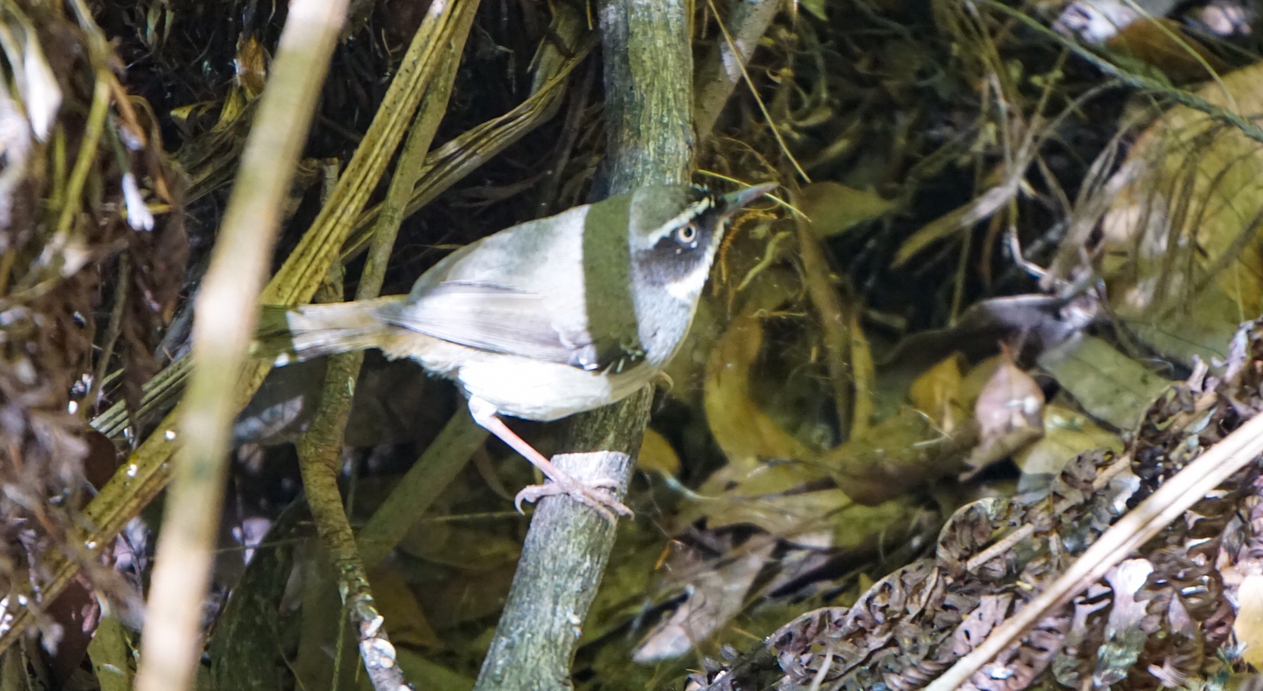
 Queensland is very dry currently, not having had rain in this area for a couple of months. This is very evident in the sheer numbers of birds flocking to this little water source, particularly grey fantails and flocks of silvereyes, so gorgeous.
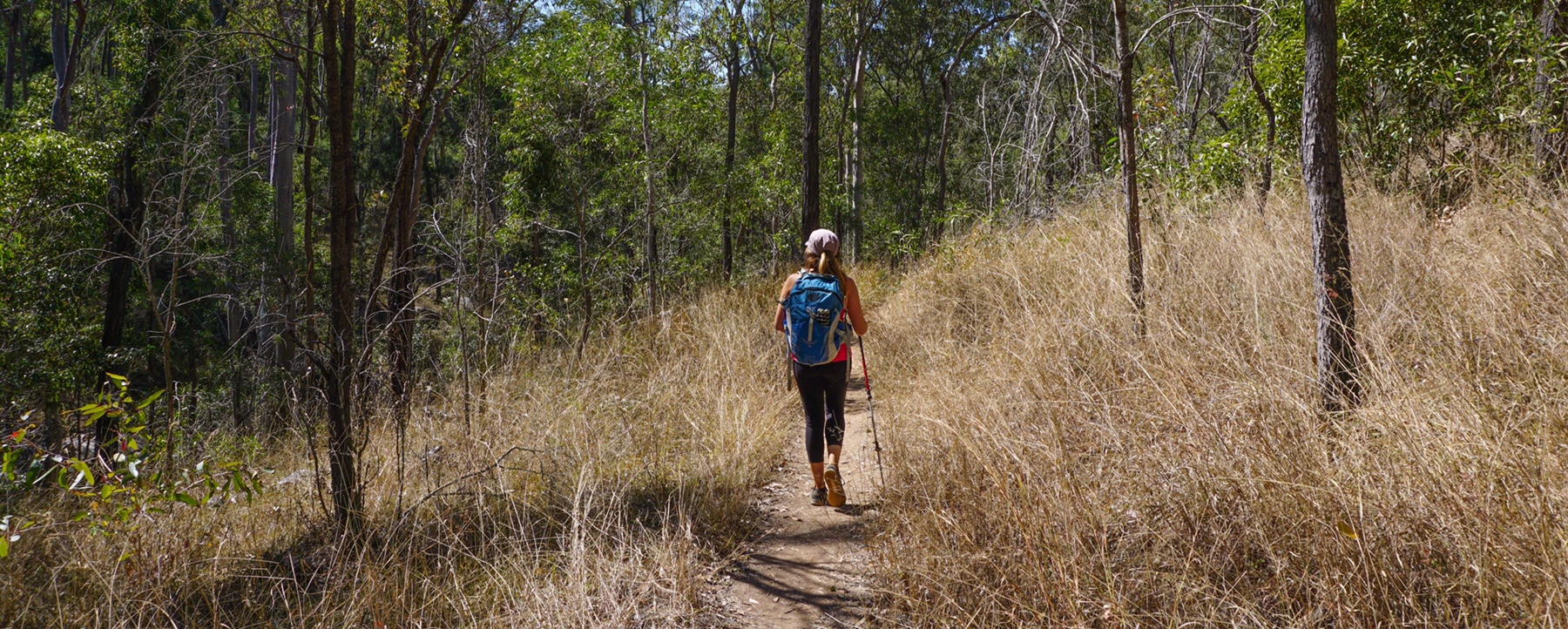
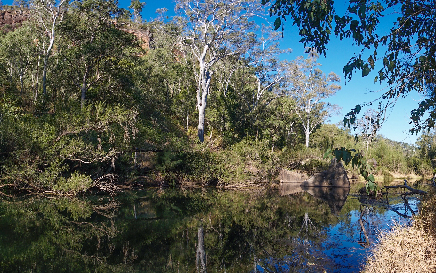
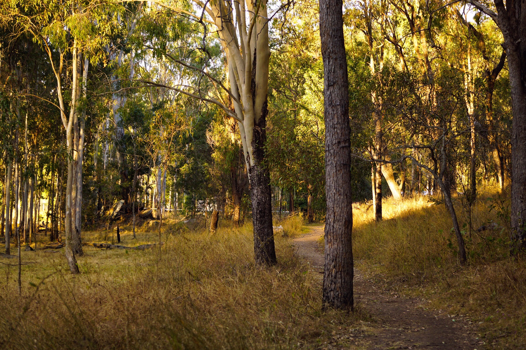
 Six kilometres later we were back at camp for a relax. This is one of the nicest places we have parked our mobile apartment in a long while, surrounded by tall gum trees, dappled sunlight and high sandstone walls providing a picturesque backdrop. As we sat outside with a cup of tea a couple we had seen on our walk strolled past, the American man inviting Mark to join him on a cycle up to the dam later on in the afternoon. Mark accepted his invitation, and jumped on his bike for a ride.I meanwhile finished baking an orange and almond cake, and left that to cool while I went off on another 6km walk.
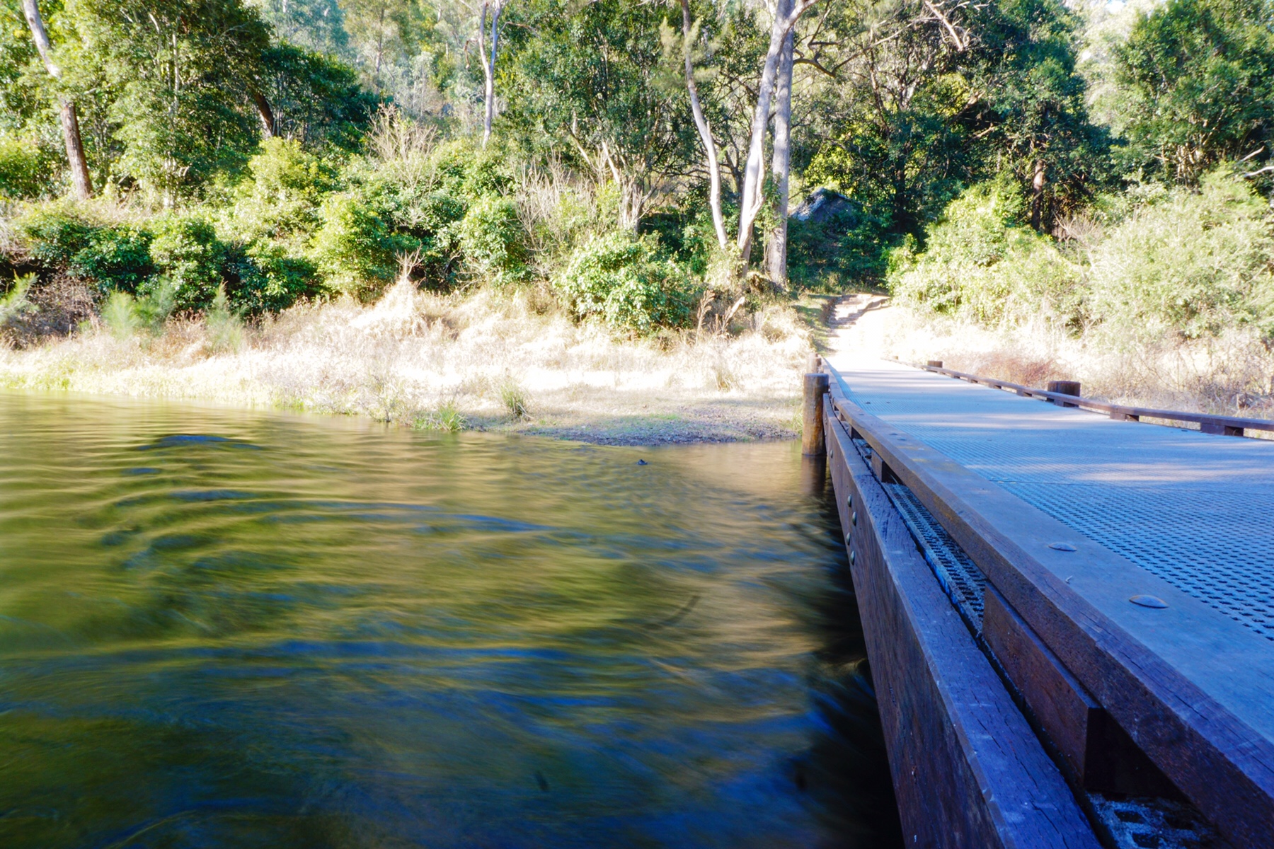
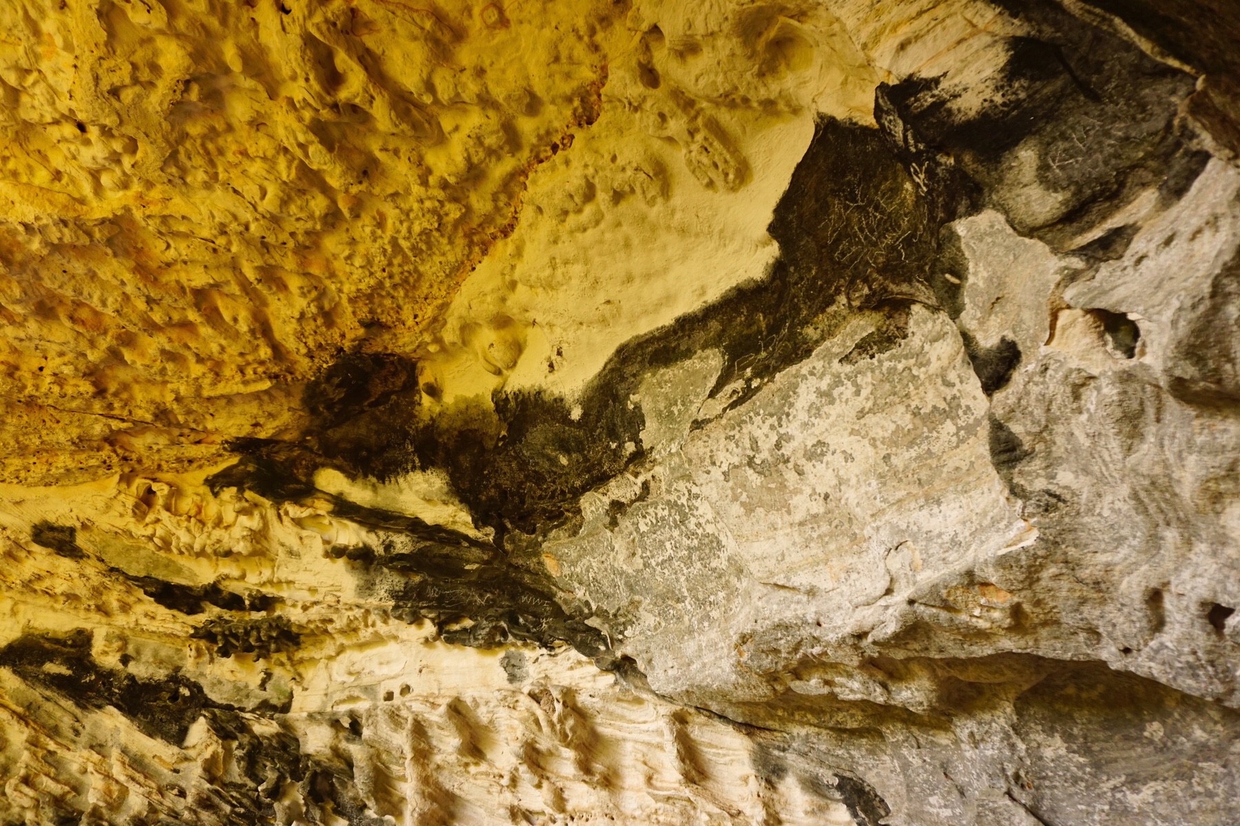
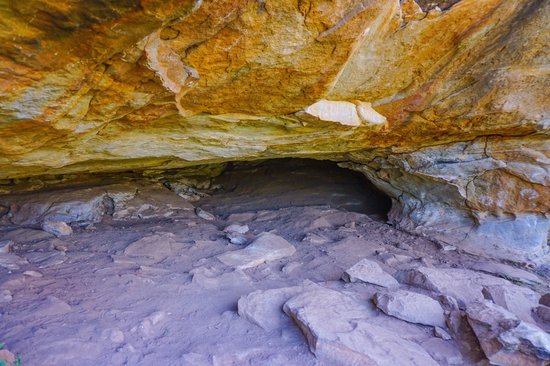
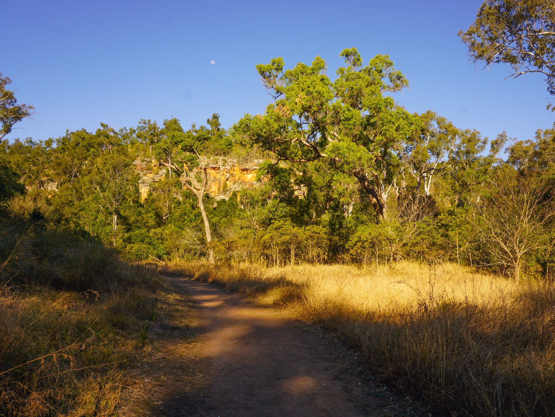 From there, I walked up to Dragon Cave, so named for the black ‘mural’ of a dragon up on the wall in there…with a little imagination. Generally I just enjoyed the clean fresh air, the sound of the birds and just being outdoors in the warm light of the late afternoon.
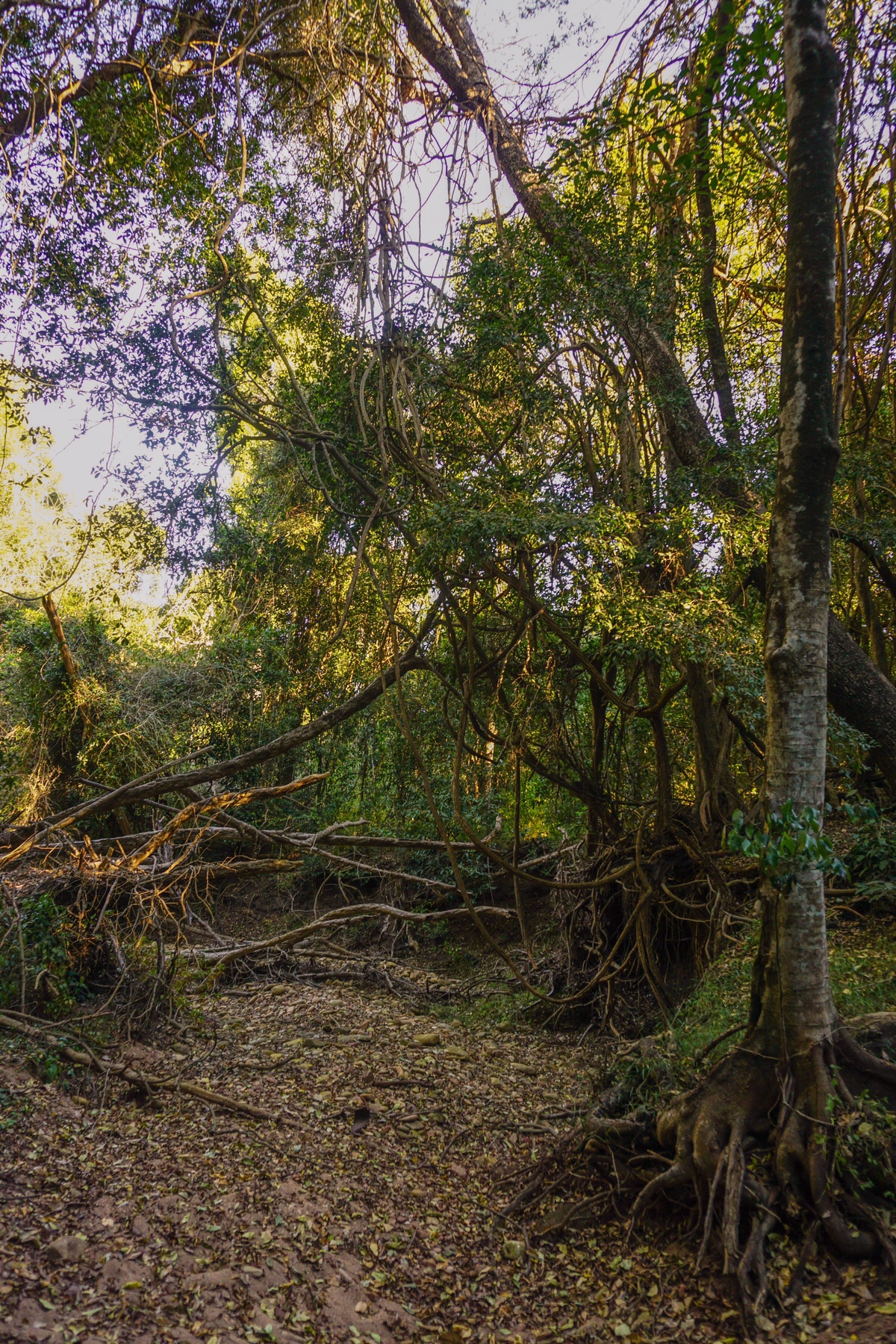
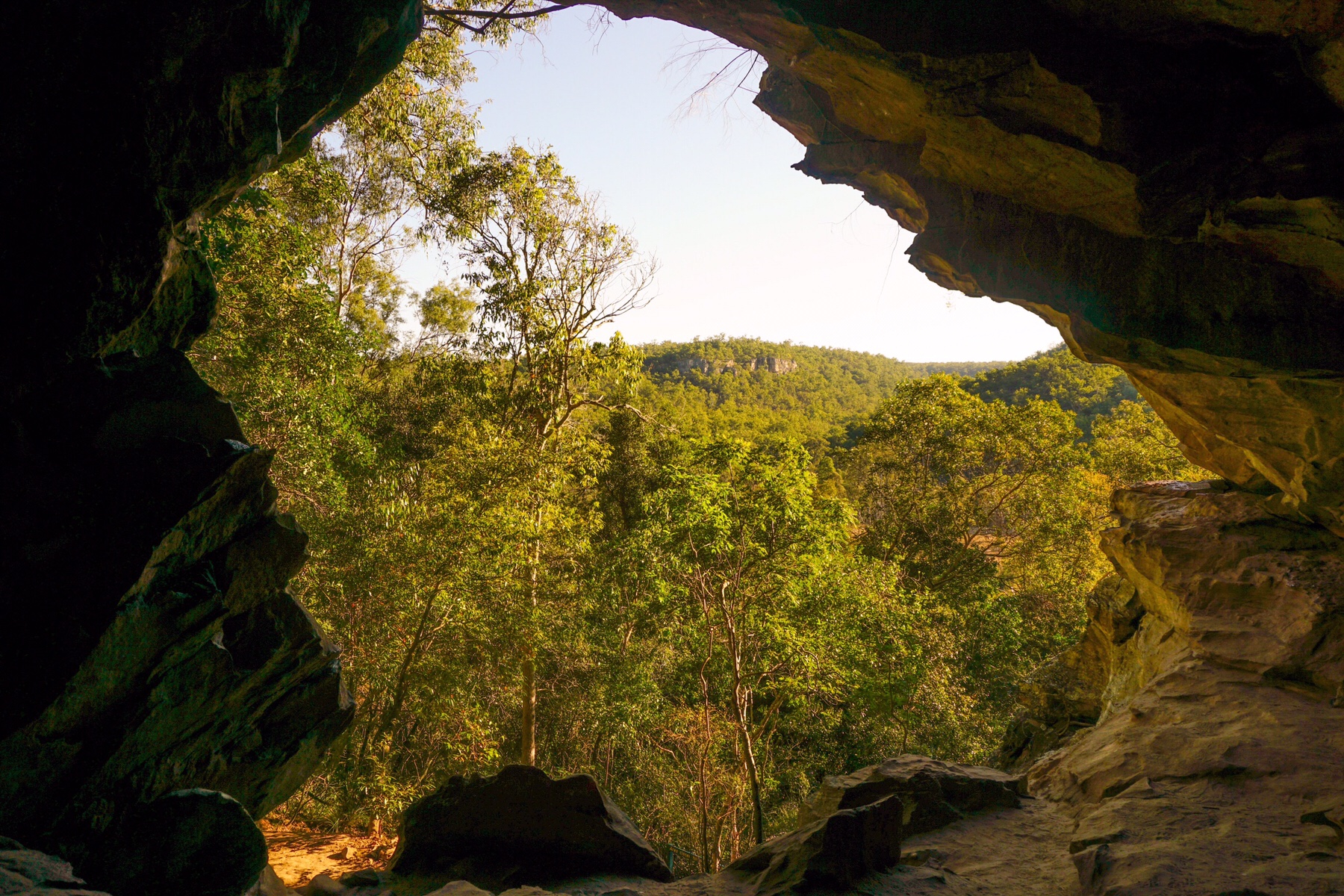
 I reached camp just as the sun was setting, and Mr A was already sipping a glass of French red wine with his cycling partner and some other neighbours. It turns out the cyclist, Ben, works with mutual friends in Sydney. What a small world!
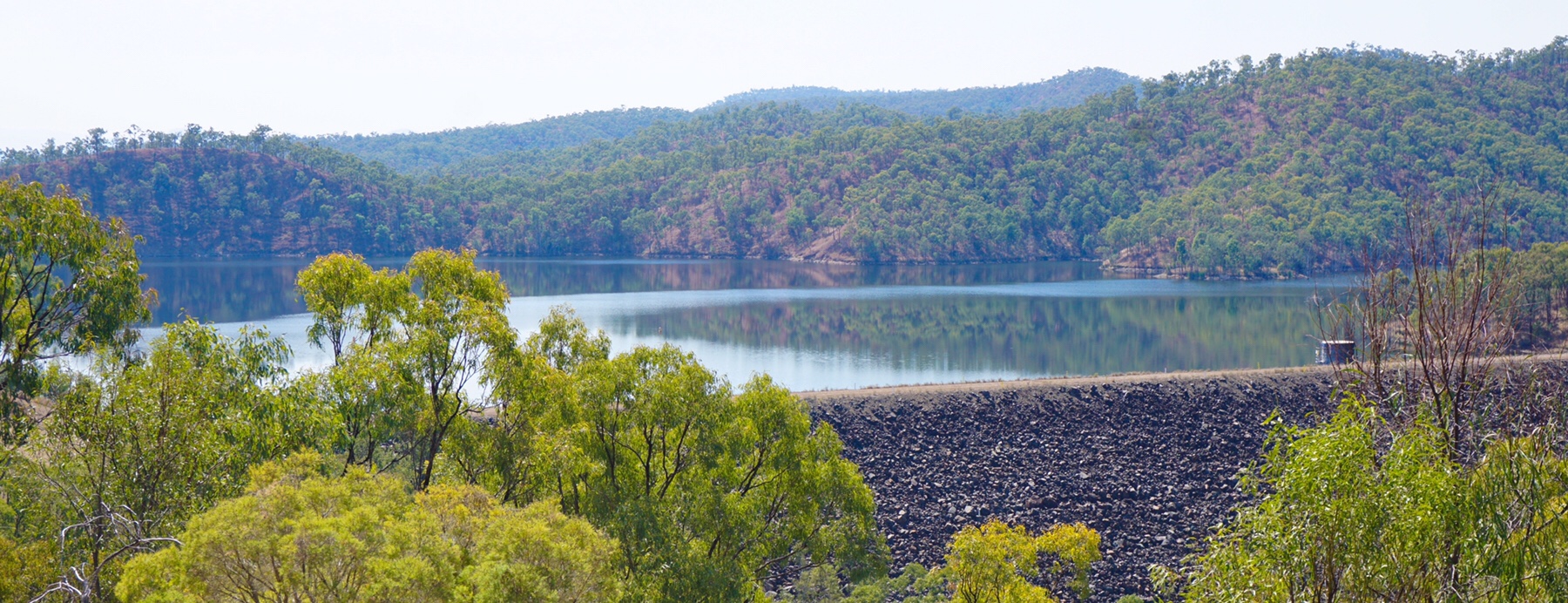
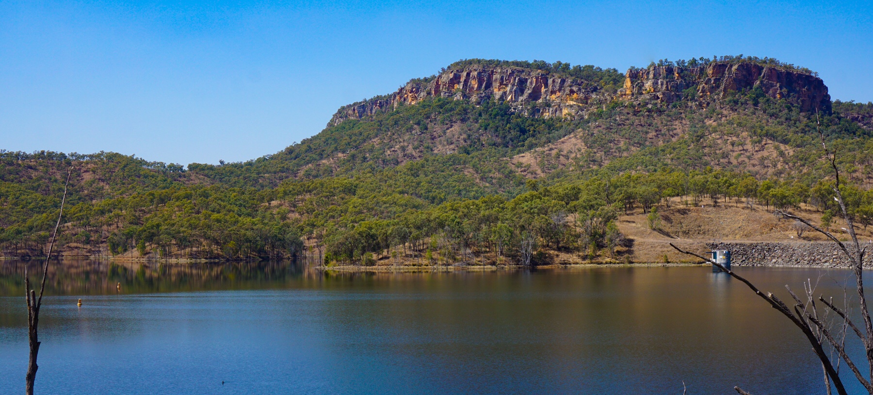
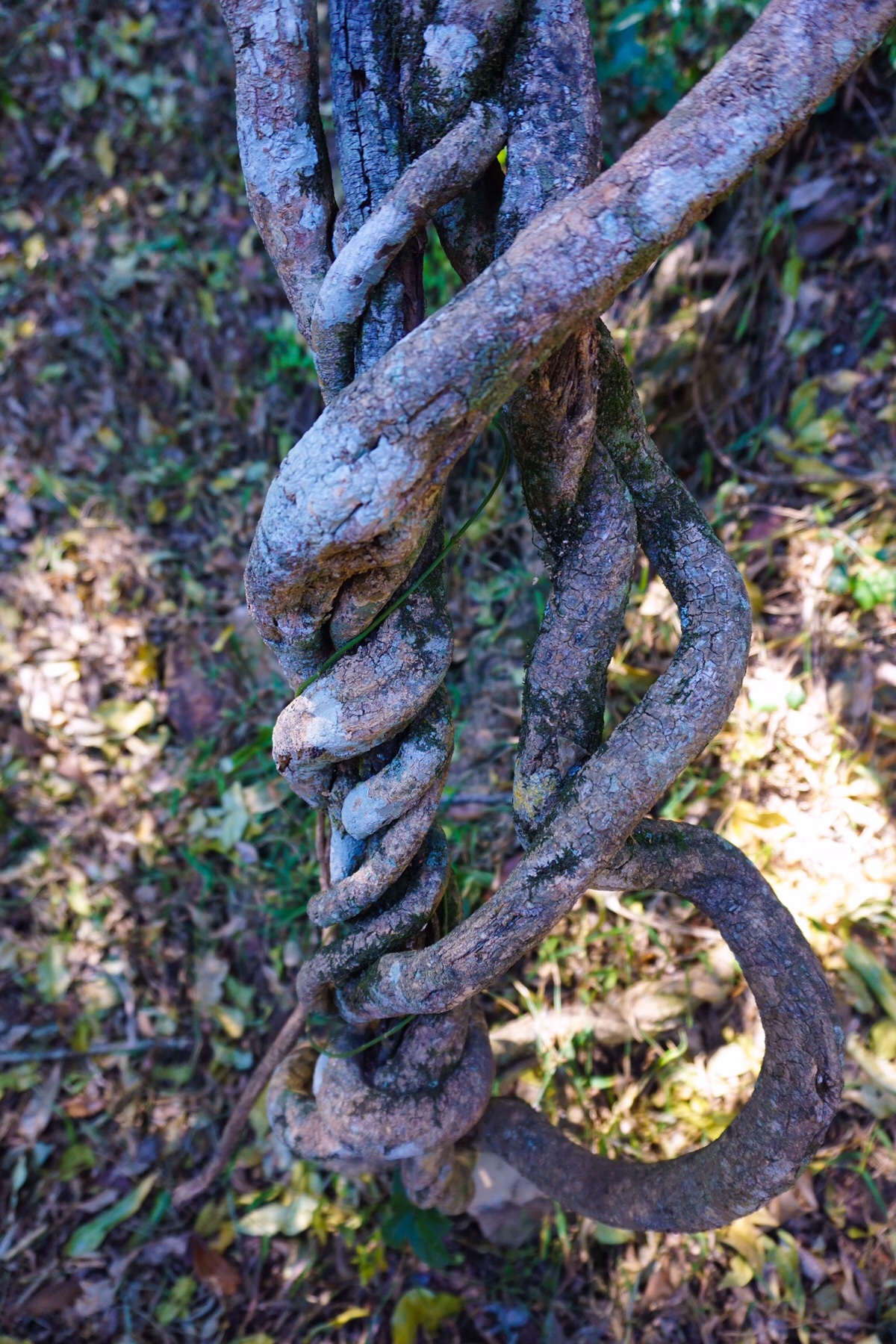
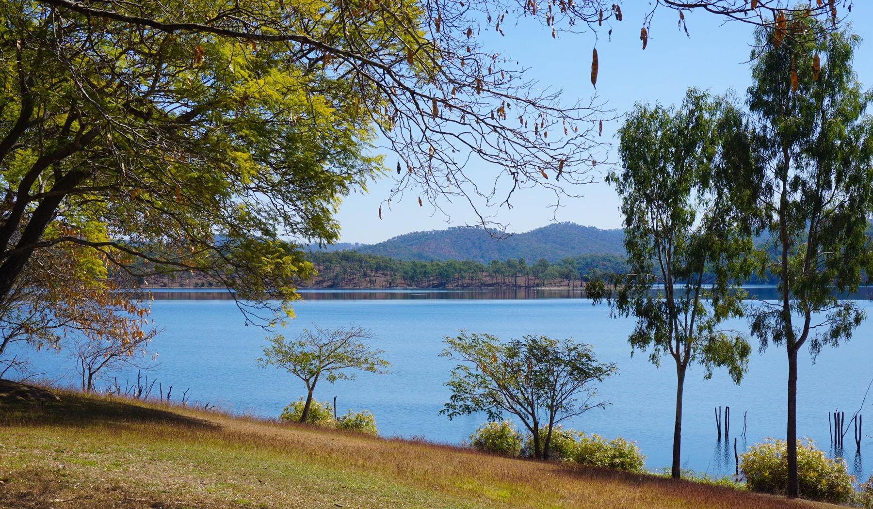 Cania Gorge had a gold rush in the 1870s, and the remnants were visible on a short walk. There was little gold here, with 183.5 tons of rock yielding only around 4.3kg of gold – a lot of work for little reward under gruelling conditions. Today felt pretty warm at about 25 degrees centigrade in the middle of winter. We had a wander around, then headed off to do another, longer walk.
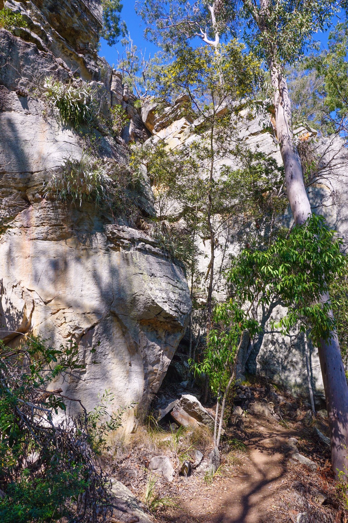
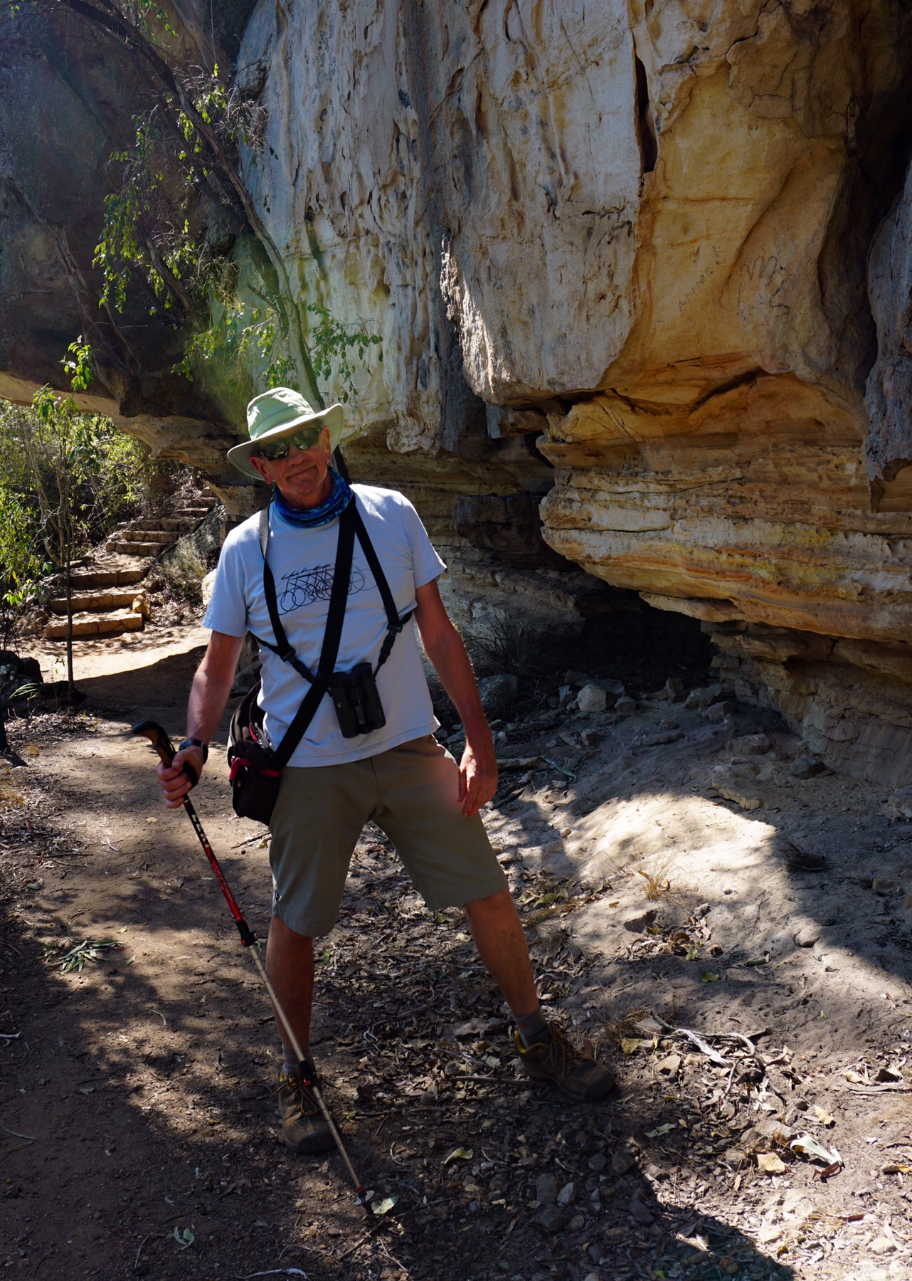
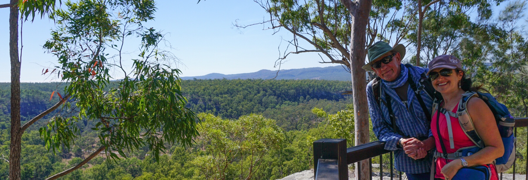
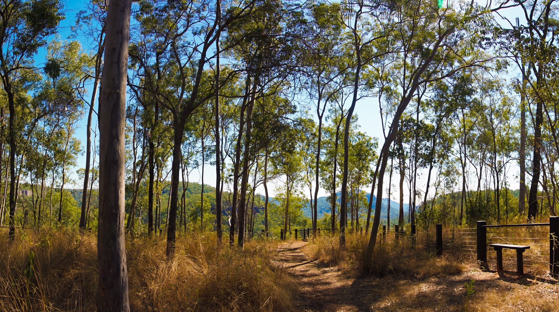
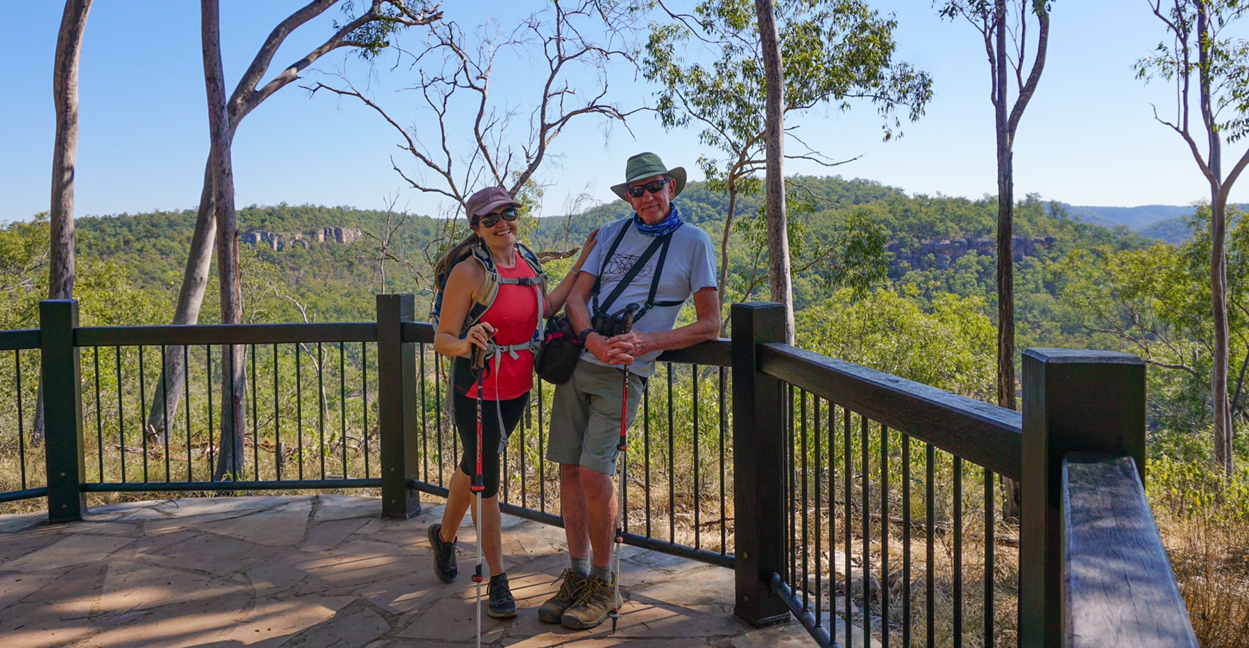
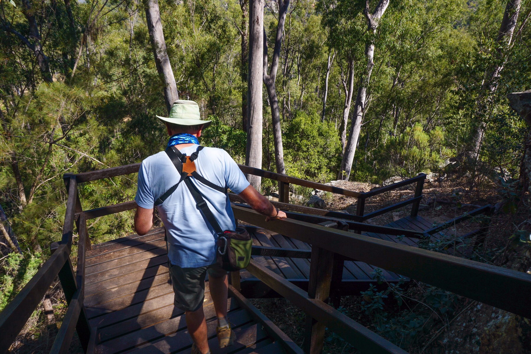
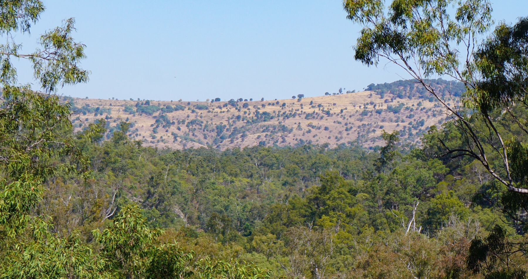 We hiked up to a lookout giving us a fabulous view across this little National Park, before returning to camp.
 Before long we were seeing signs for Rubyvale and Sapphire, and finally our destination for the evening in Emerald. Yes, you guessed it, we are in the gemfields, but not having a go at fossicking this time. That would involve attention to detail and patience, not Mr A’s strengths!
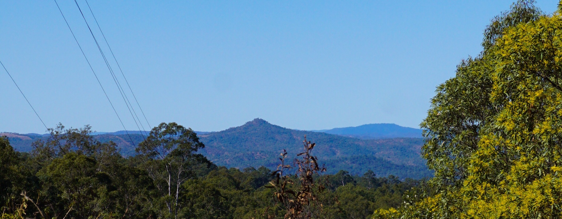 Looking at the map, it would be easy to miss little Cania Gorge. It sits about 150km from the coast inland from Gladstone, and like Carnarvon National Park has deep sandstone gorges and apparently a healthy population of platypus. We had been recommended this location by two separate friends who are or have been in the past local to this area, so thought it would be crazy to miss it.
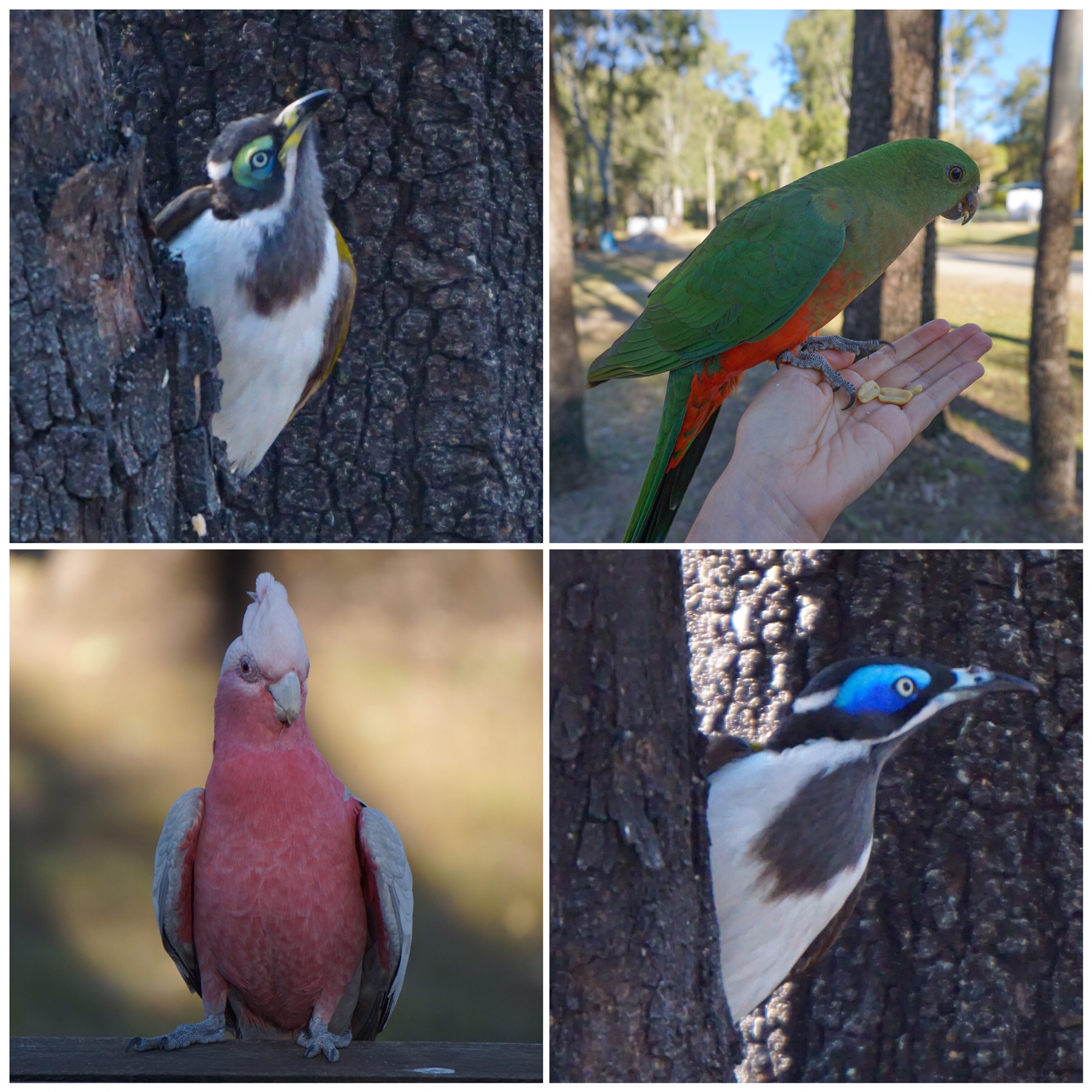
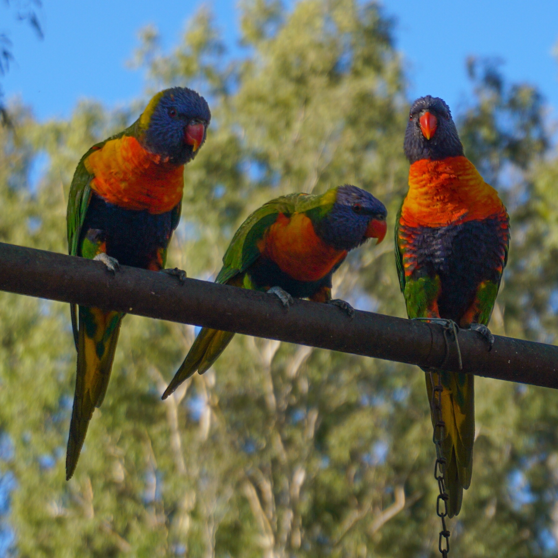
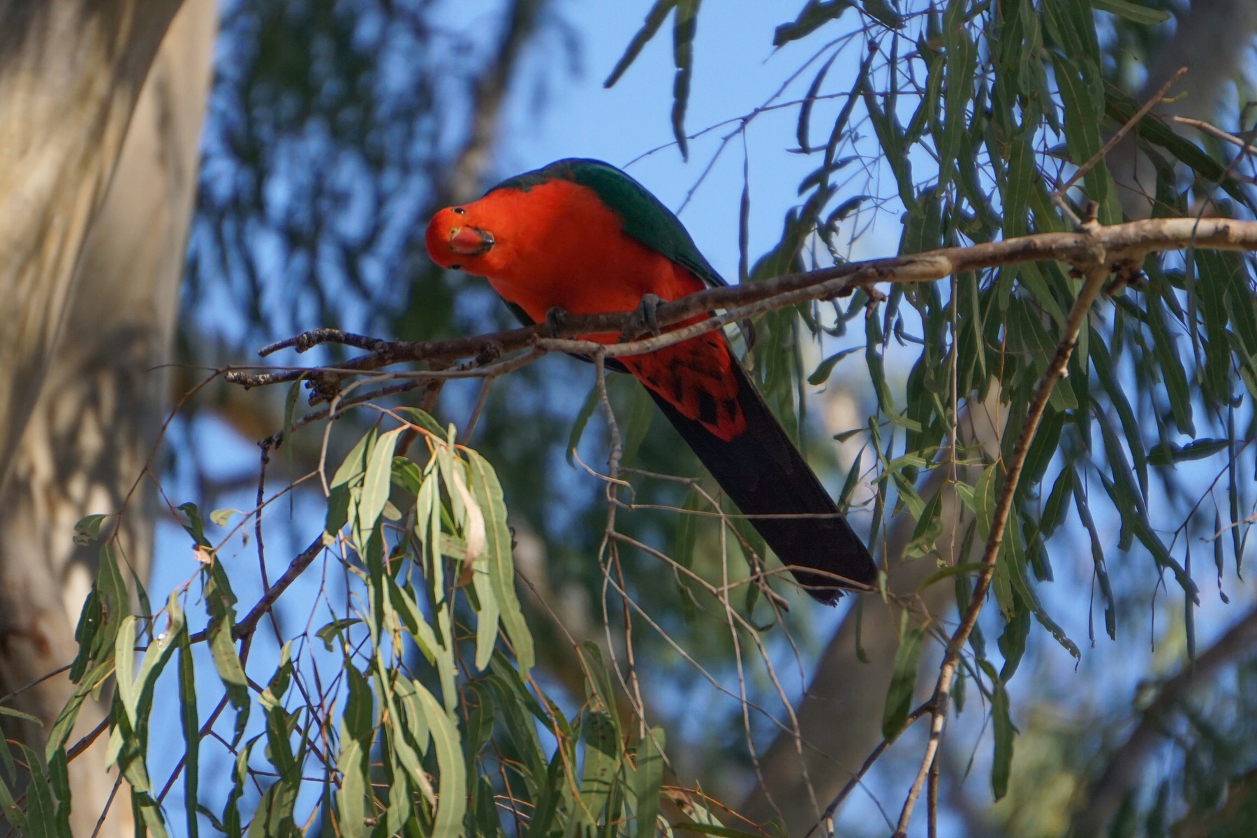
 A short cycle along the road allowed us to learn more about the multitude of wild creatures living here, many rare and endangered, and the evidence of 19,000 years of Aboriginal habitation in the gorge. Incredible. Already it feels like a very special place.
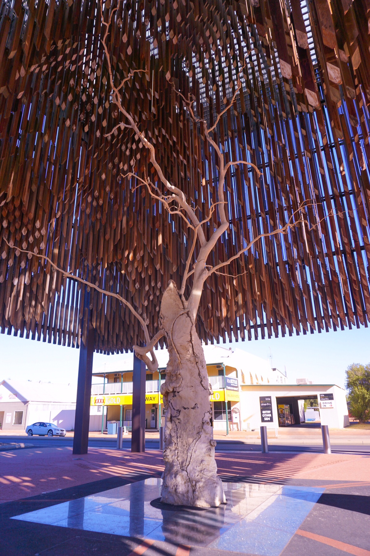
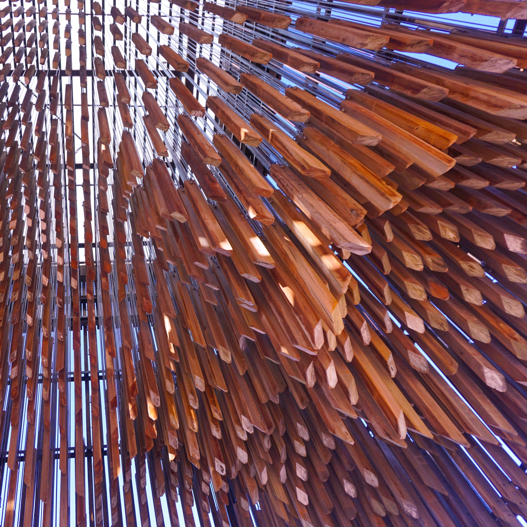
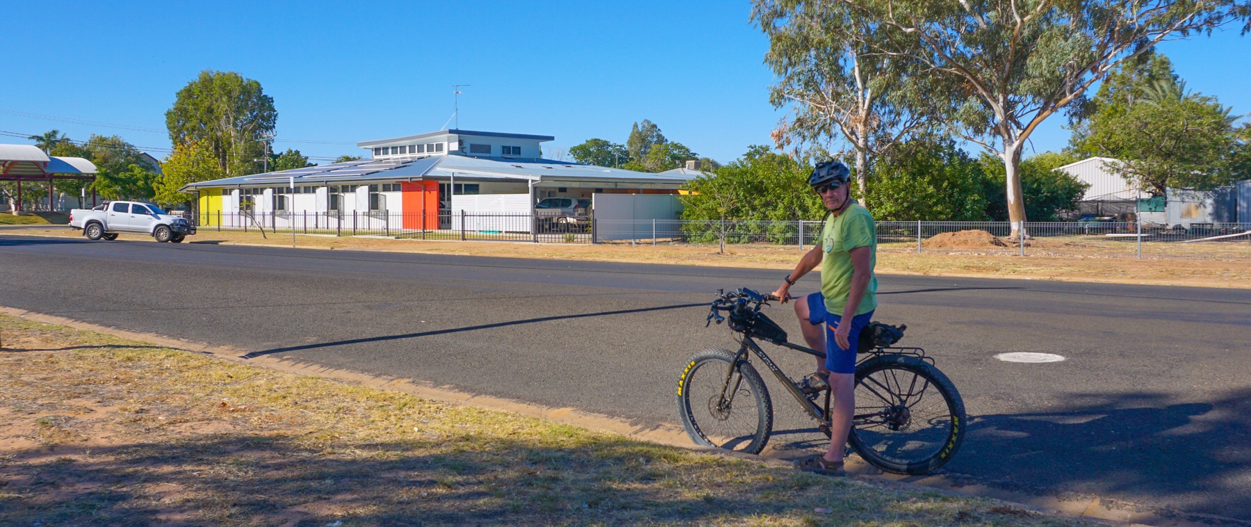
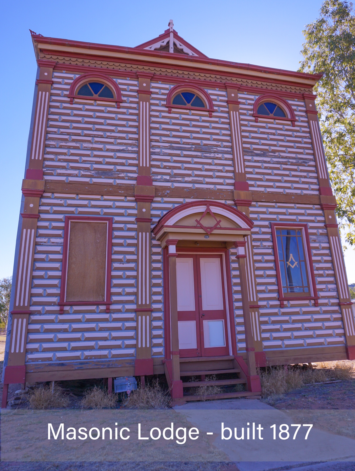 But we just couldn’t imagine what you would do for the weeks that some people are clearly spending here! There are four caravan parks in town, and no shops that seem to cater for them. What do all these nomads do here? Some on our camp look very settled in. Each to their own I guess.
 Then a very chilled out day, concluding with a Goan fish curry courtesy of Mrs A’s fair hands. Well I have now graduated to kitchen assistant preparing the garlic, turmeric, ginger and blending up with pestle and mortar. Its a start!
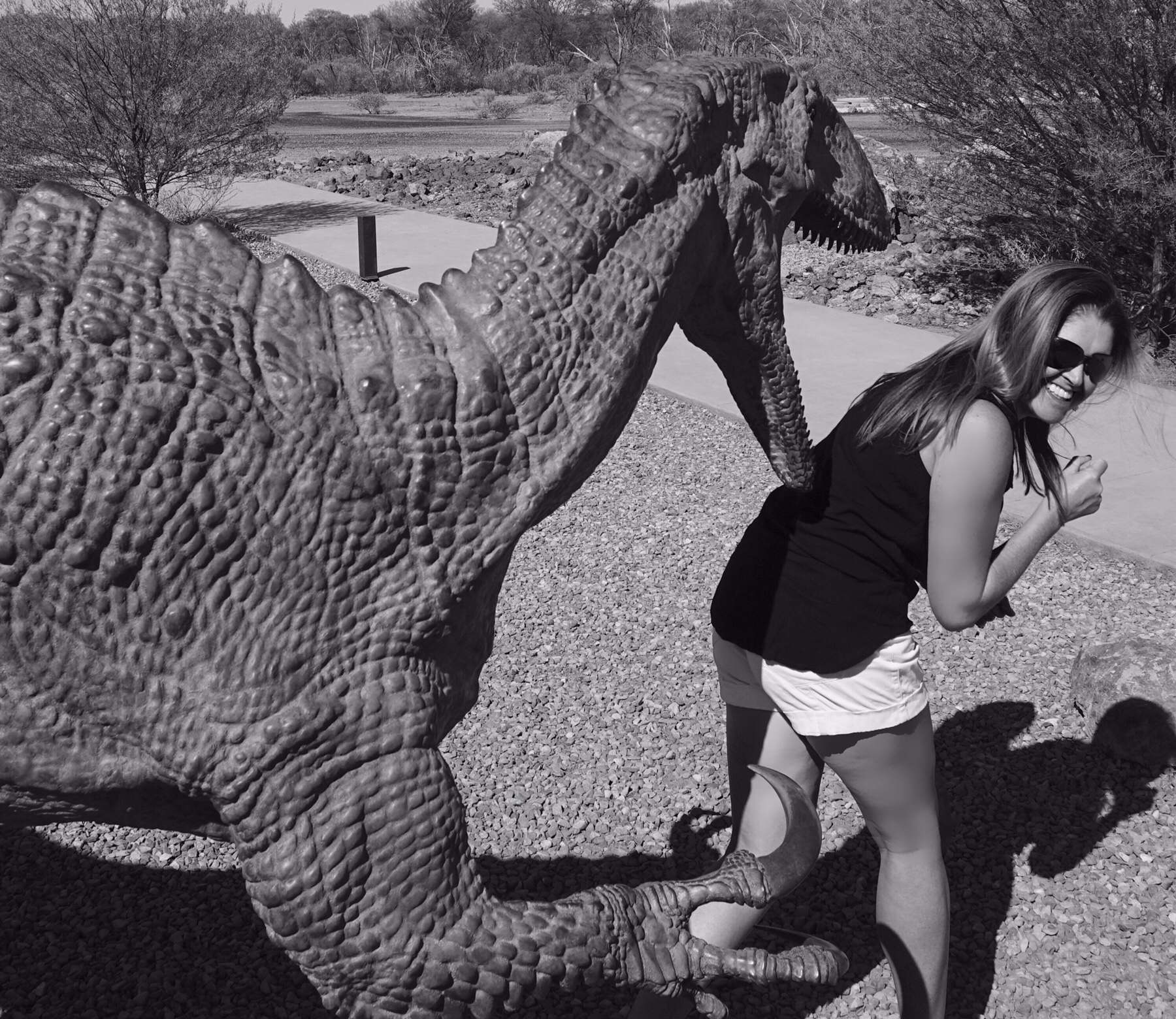
 One of us (me) is more enthusiastic about this type of thing than the other, so we compromised and did a short visit, encompassing a trip to the working laboratory to see technicians working on the fossils, and some of the smaller fossils found, and then to the theatre to see a film about where many of the fossils were found, and the two most complete dinosaur skeletons in their collection. We missed out a longer trip which visited a collection of bronze models of how the dinosaurs may have looked, down on the flood plain.
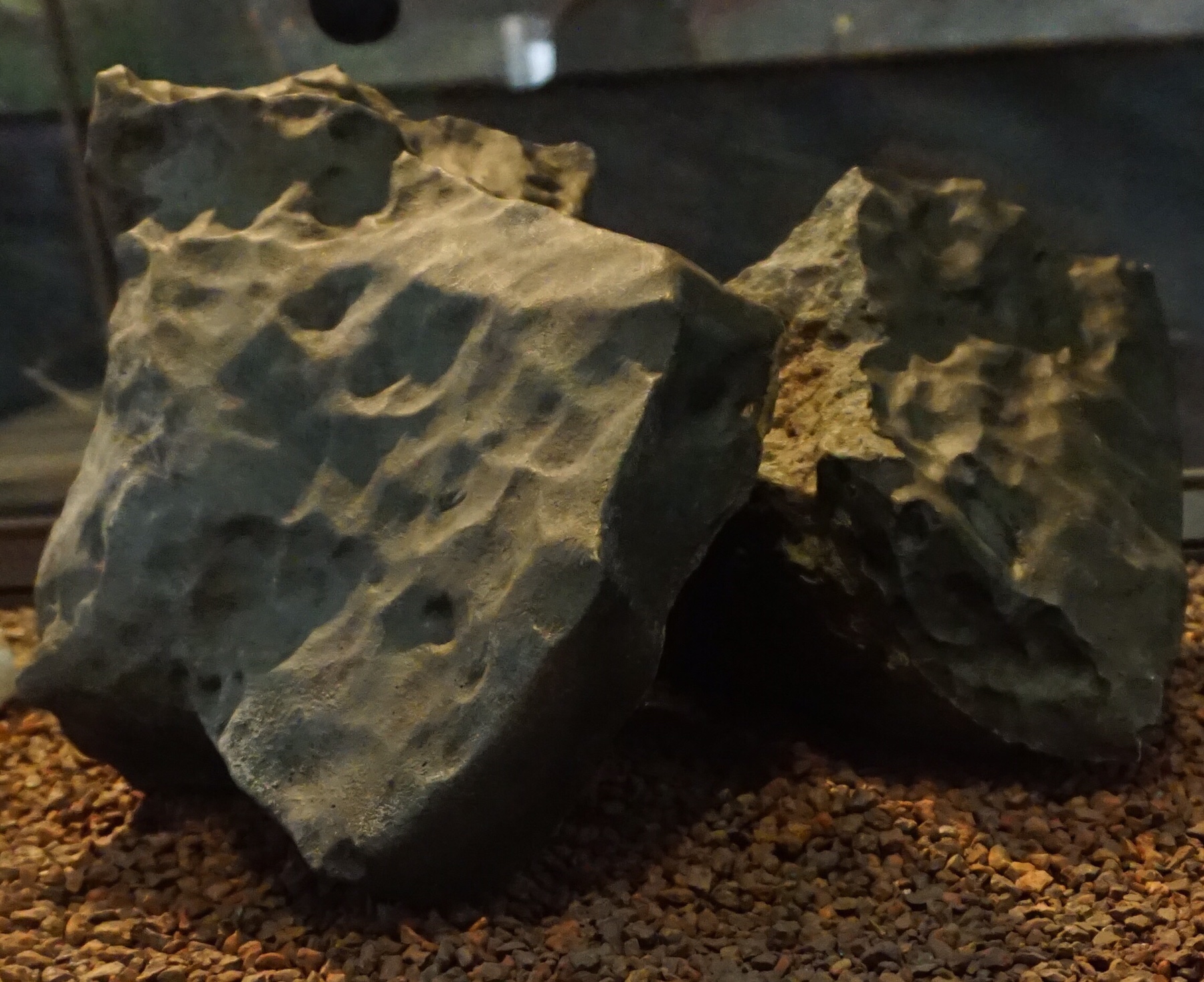
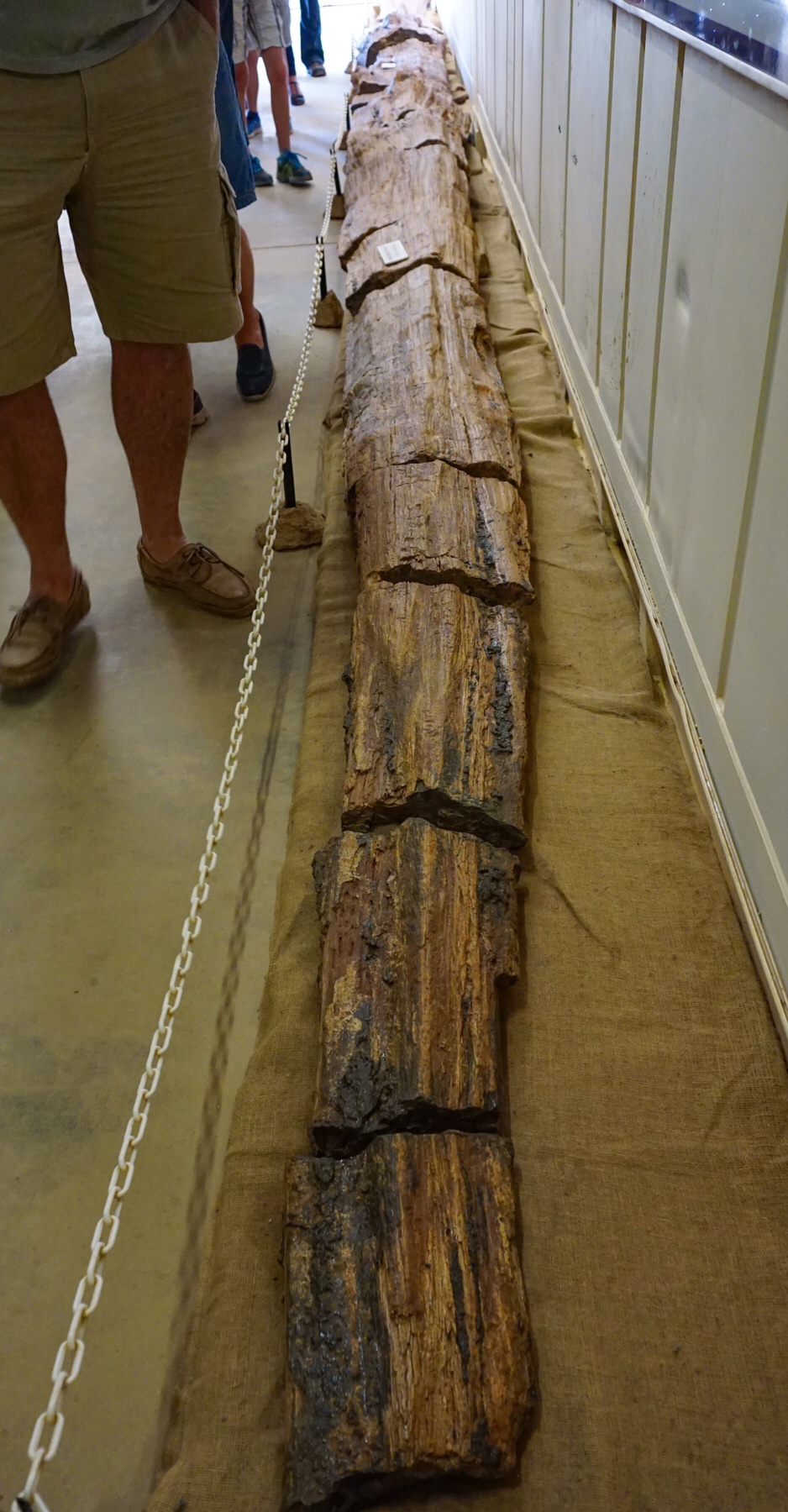 Although it was dated at 150 million years old, it was hard not to believe it was just a sawn up log lying there!
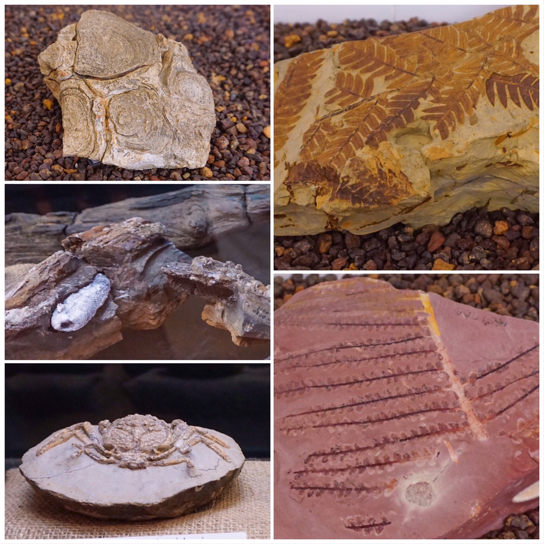
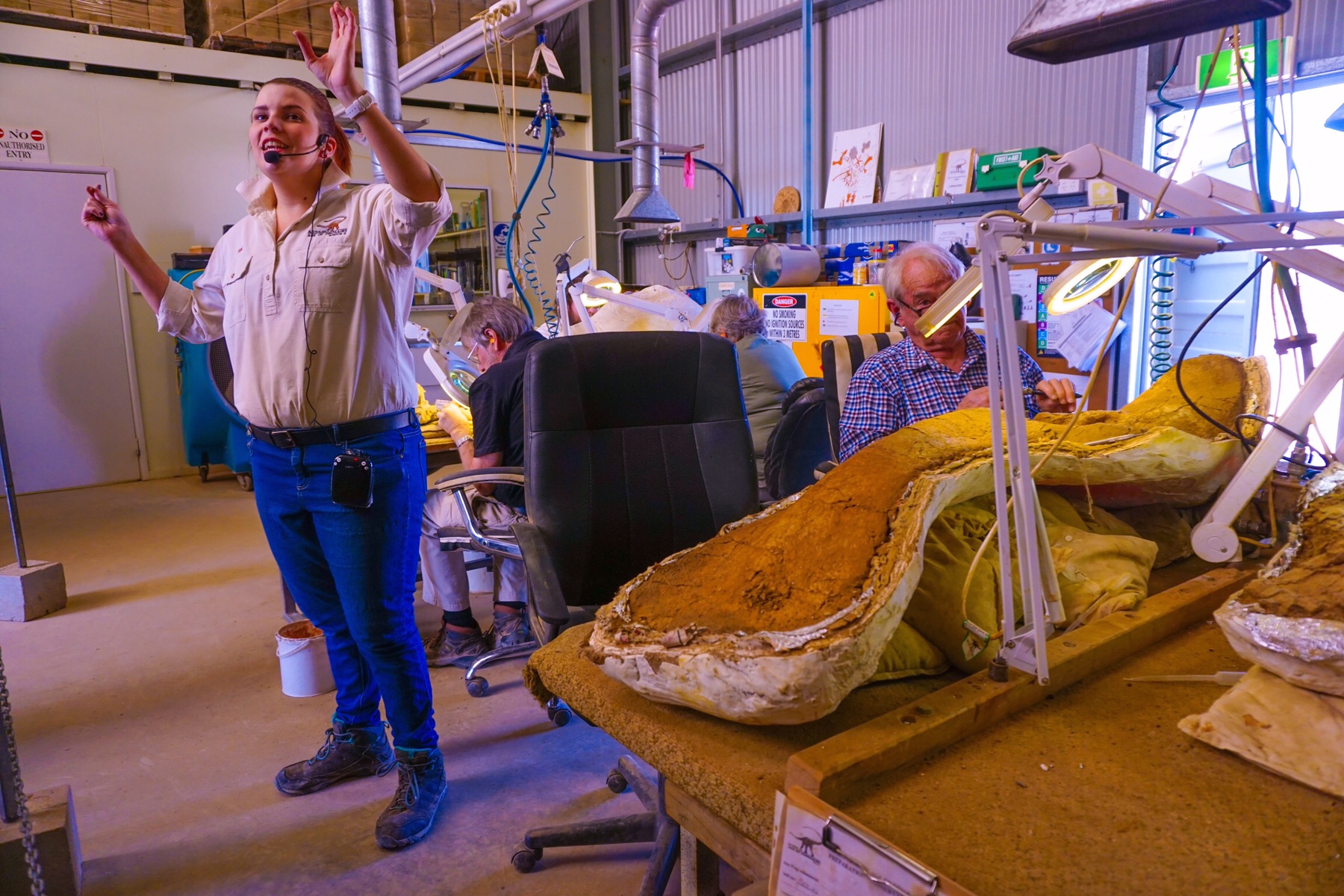
 We watched the painstaking patient work of the technicians removing the soil from the fossils. It takes literally years to reveal a fossil, and there is a 10 year backlog of work in the laboratory. You can volunteer to be a part of the team – there is a training course and exam, and once you are approved you can come along and join in whenever you would like. Patience and attention to detail an absolute must.
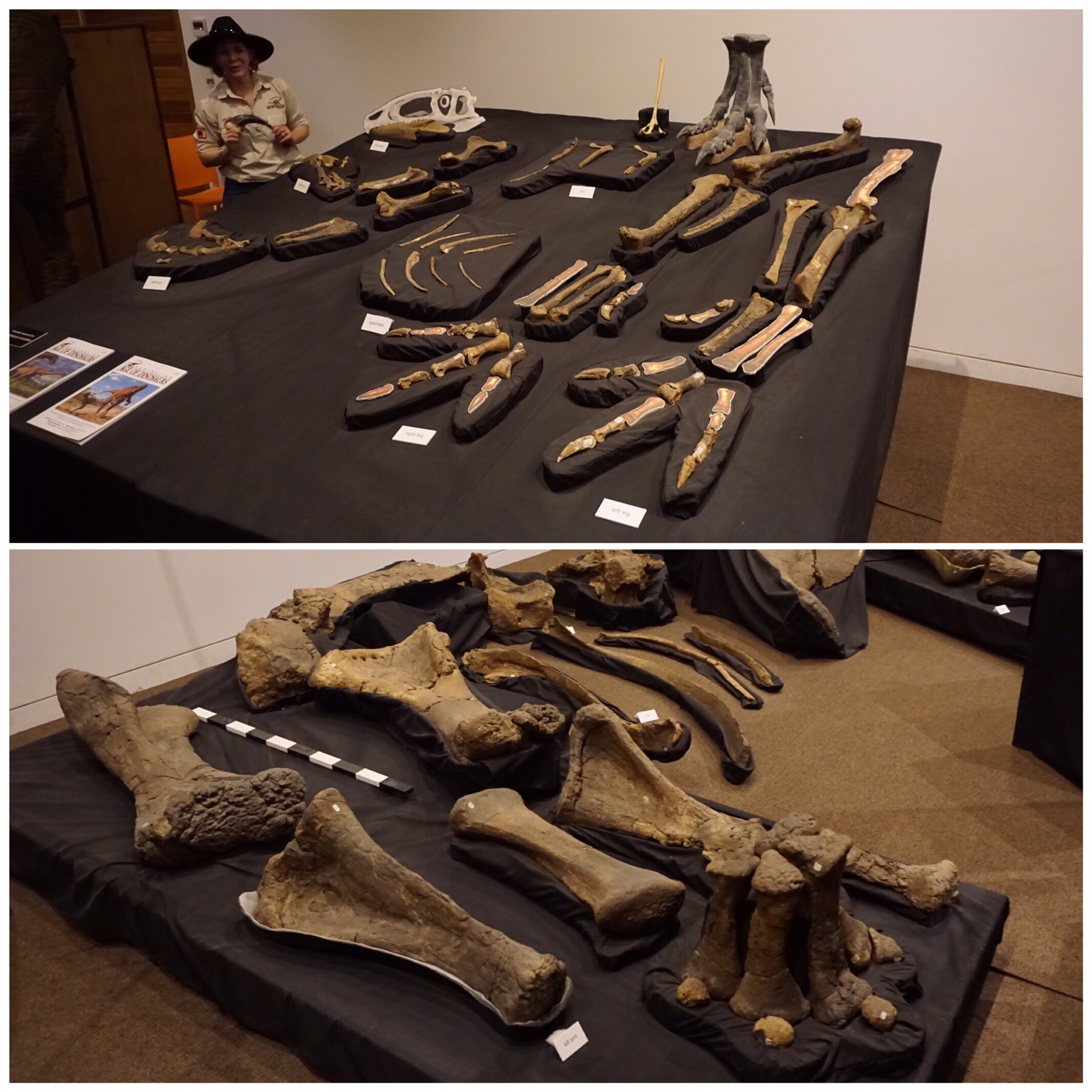
 The final part of our tour took us to the theatre where we were shown the fossils recovered from a single site, revealing two completely different species of dinosaur – a carnivore and a herbivore.
 Still it was interesting (for me) and so great there are people with such incredible passion in the world to ensure such things are pursued.
 We spent the remainder of the afternoon doing some trip planning, gave a tour of our Zone to some potential future Zoners, and finished off our day back at the local pub for a fine feed.
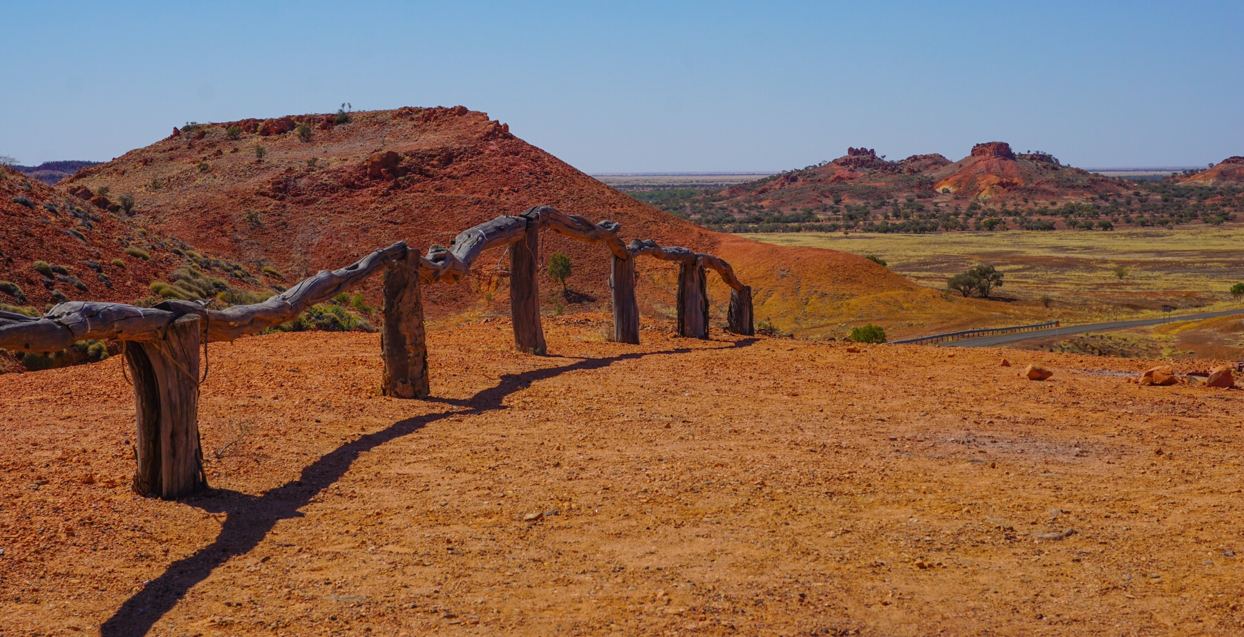
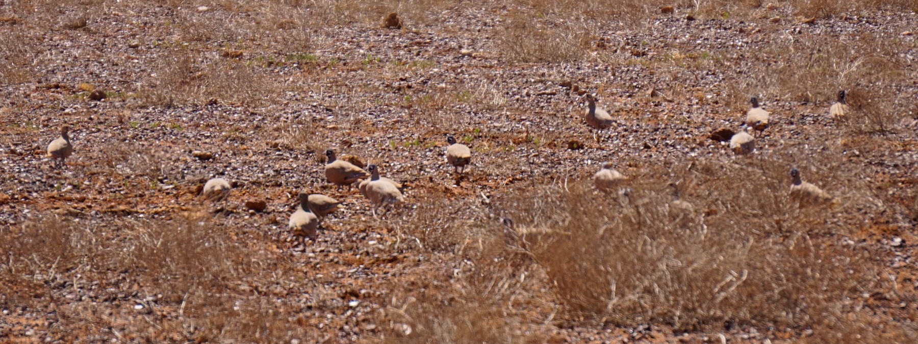
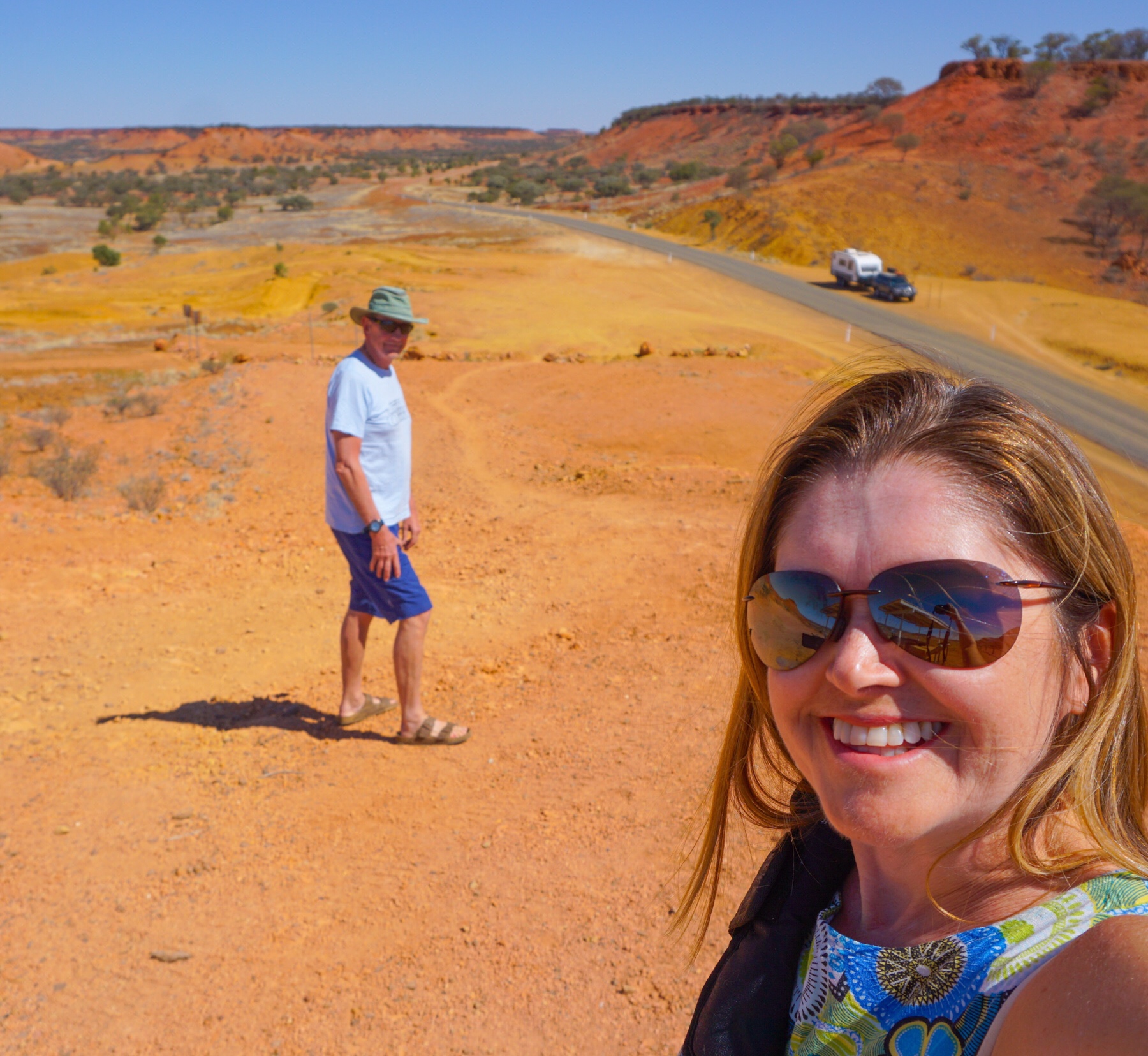 The occasional roadkill of kangaroos, wild boars and cattle brought back plenty of raptors, with the giant wedge-tailed eagles always the last to leave their meal as we drove by. Flocks of button quail, green budgerigars and tiny firetails and zebra finches accompanied us for a few seconds at a time, before swiftly changing direction and disappearing off over the plain.
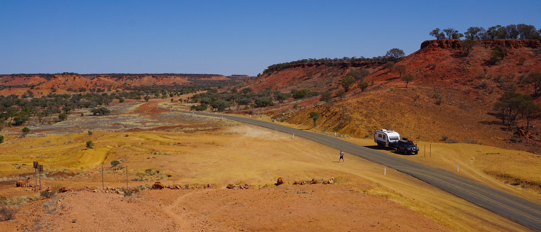
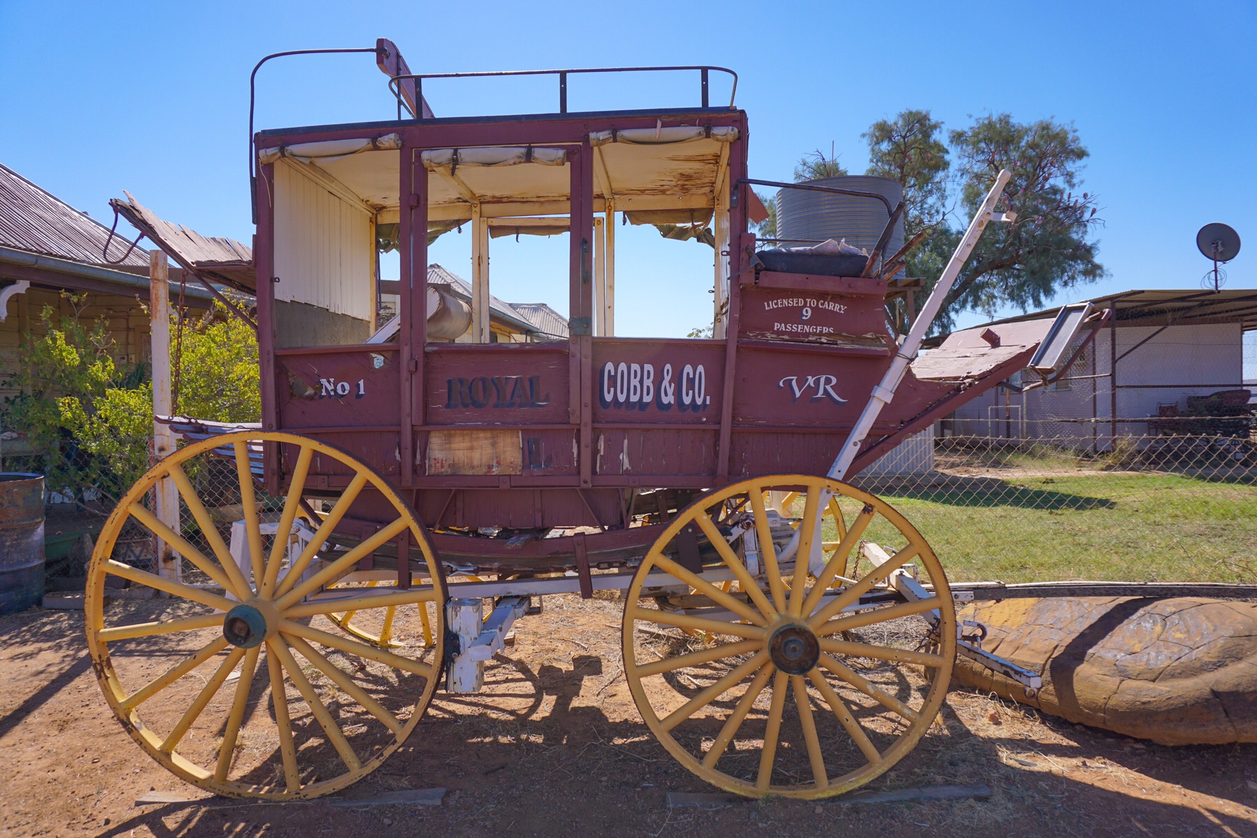
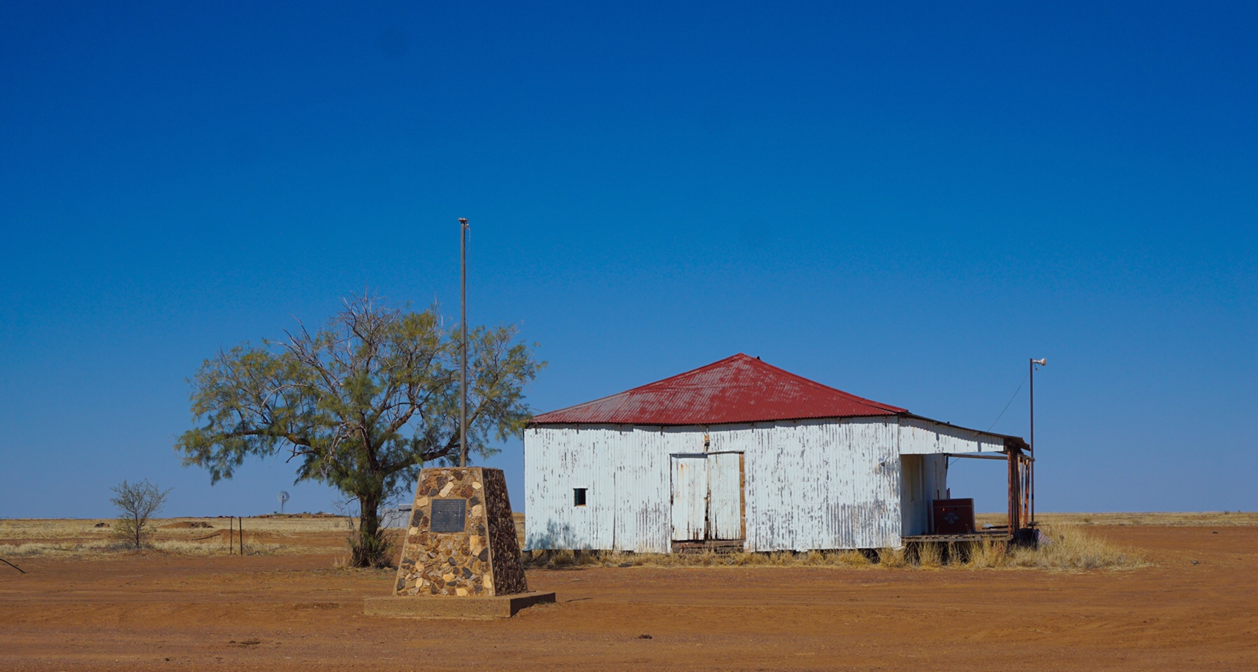
 By 1pm we had reached the Middleton Hotel. Back in its heyday it was a major stopping point on the Cobb & Co route between Boulia and Winton, where tired horses were exchanged for fresh horses, with accomodation provided. Apparently the settlement of Middleton was once home to 26 permanent residents, but now it is just the rather surly and unfriendly publicans. We decided against stopping for lunch there after an unwelcoming response to our greeting.
 We continued our journey, reaching Winton shortly after 5pm. We decided to set up camp at the Tattershall Hotel, and fortunately had booked ahead last night. As we reached the pub bar, a couple ahead of us took the final free spot on the campground.