8-11 January: Down to the border…

Author: Mr A

Location: Nelson, Victoria, Australia

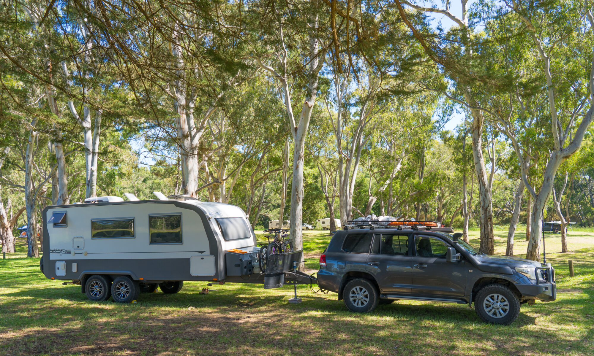
“Full timing” is what the Brits call folk like us who are travelling for extended periods in their home on wheels. Its been a lifestyle choice for us for three years and the last few weeks have just reminded us of all the up sides of doing that in Australia. Our UK trip last year, and Europe the year before, was fantastic, but our time last year in Australia was marred by the bushfires., then we got sick, then had a couple of accidents whilst towing. It was challenging.

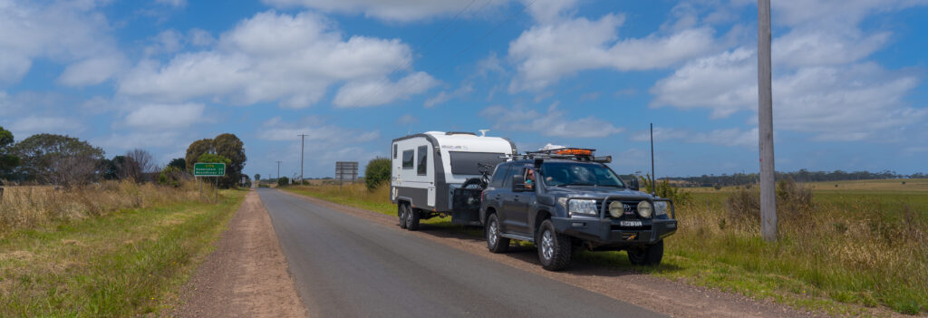
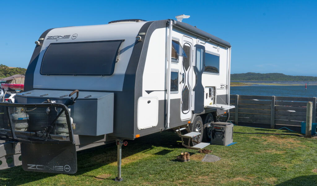
This trip since we left Sydney in early December has just reset the dial. The weather has been kind, not too hot, (although that has just changed), El Nina blessed us in the southern states with some much needed rain in manageable doses (unlike in Northern NSW and Queensland where it has been floods). The campsites have not been too crowded, perhaps a fall out from the uncertainty of border openings with the virus outbreak in South Australia then NSW. The car and the van have been mostly behaving themselves, with only a fly screen failing so far. The roads have been pretty empty once leaving the crowded coast. Its been absolutely delightful. Just like the lifestyle ads for caravans would have you believe! .

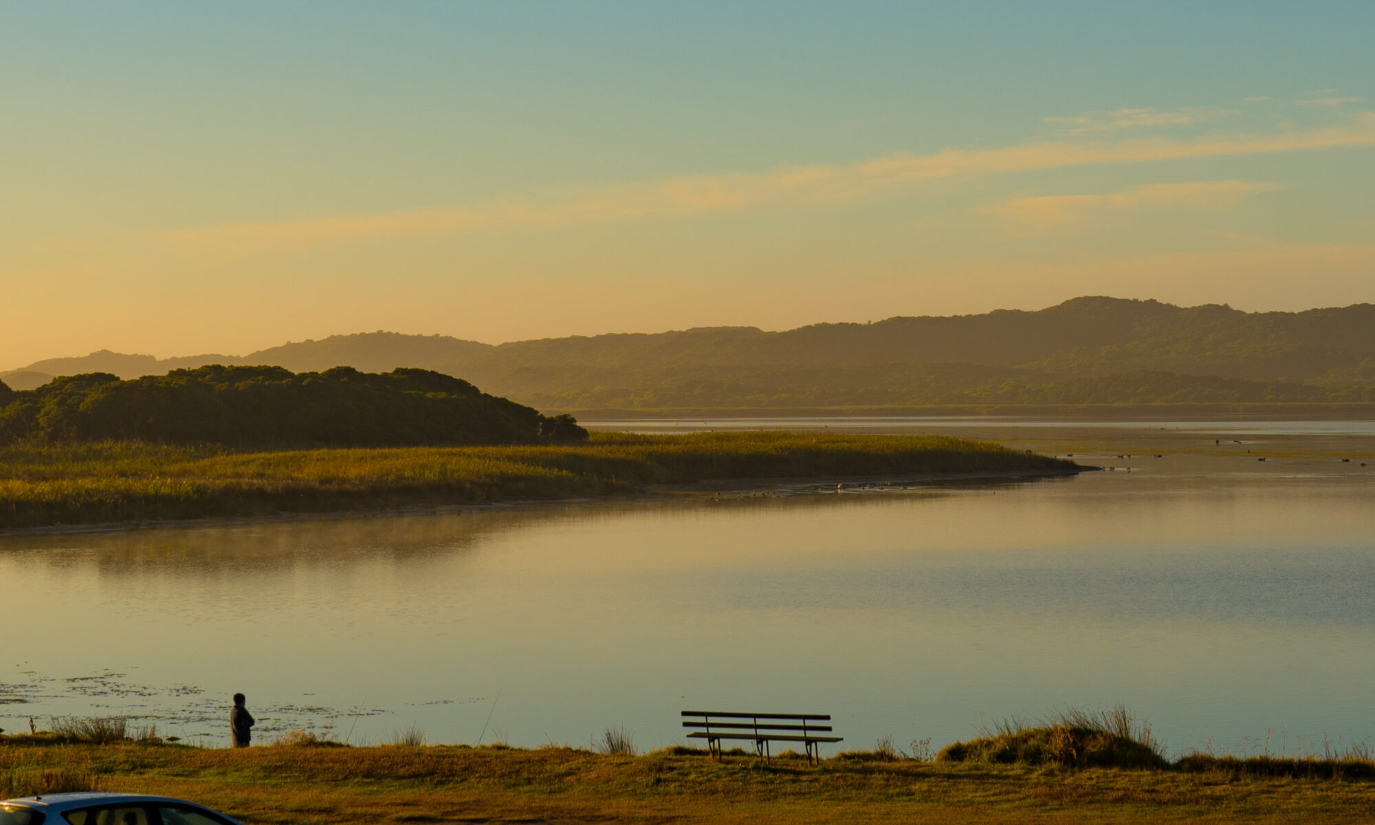
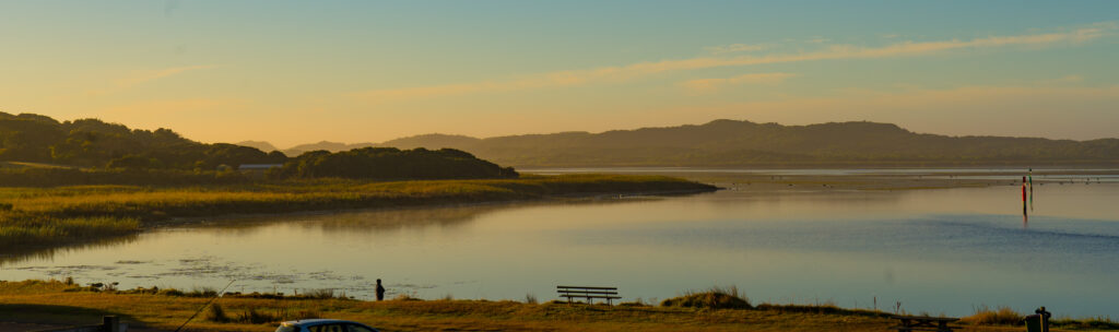
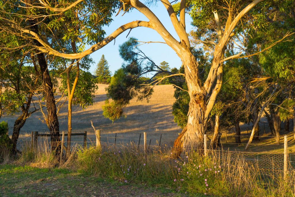
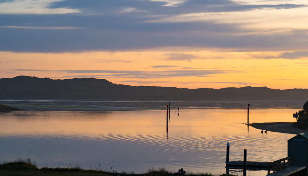
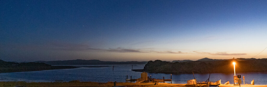
So our home for the last four days has been right on the border between the States of Victoria and South Australia, where the tiny settlement of Nelson sits nestled at the mouth of the Glenelg River. We had visited this area briefly in 2012 when we were both working, and had marked it as one we wanted to explore further when we had more time, and now we do!

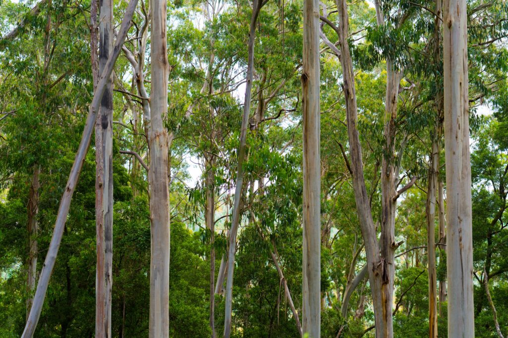
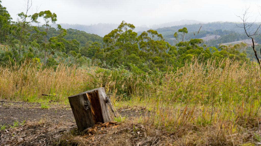
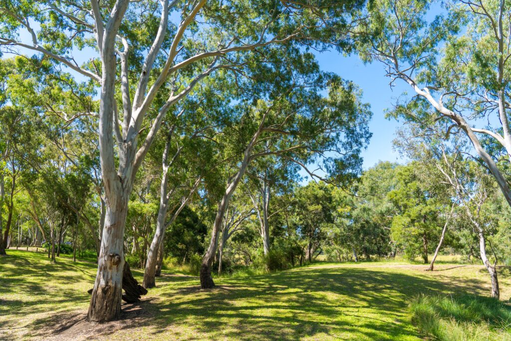
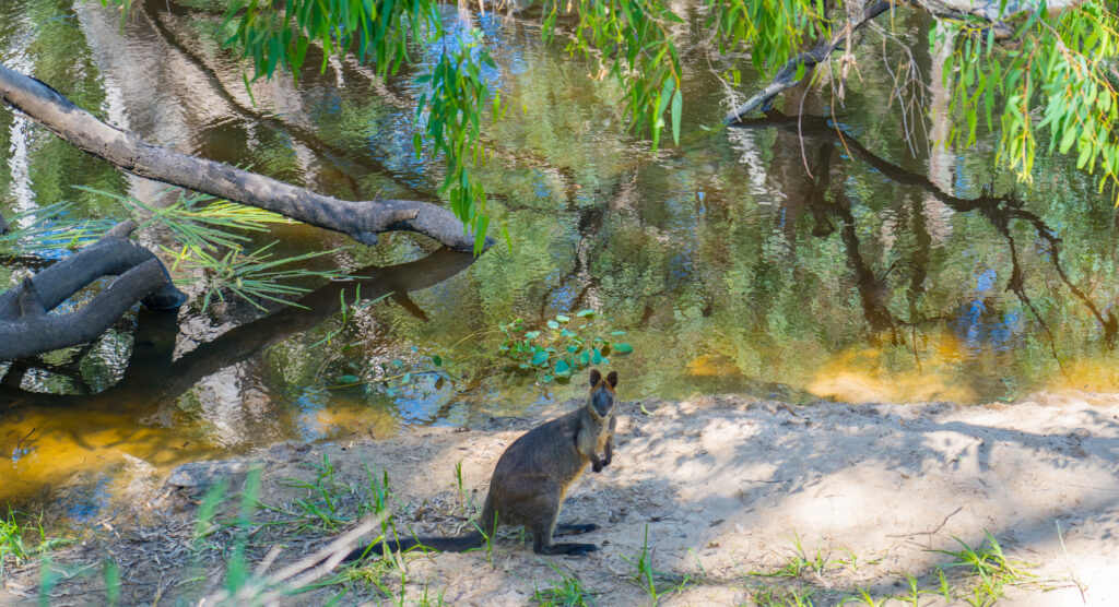
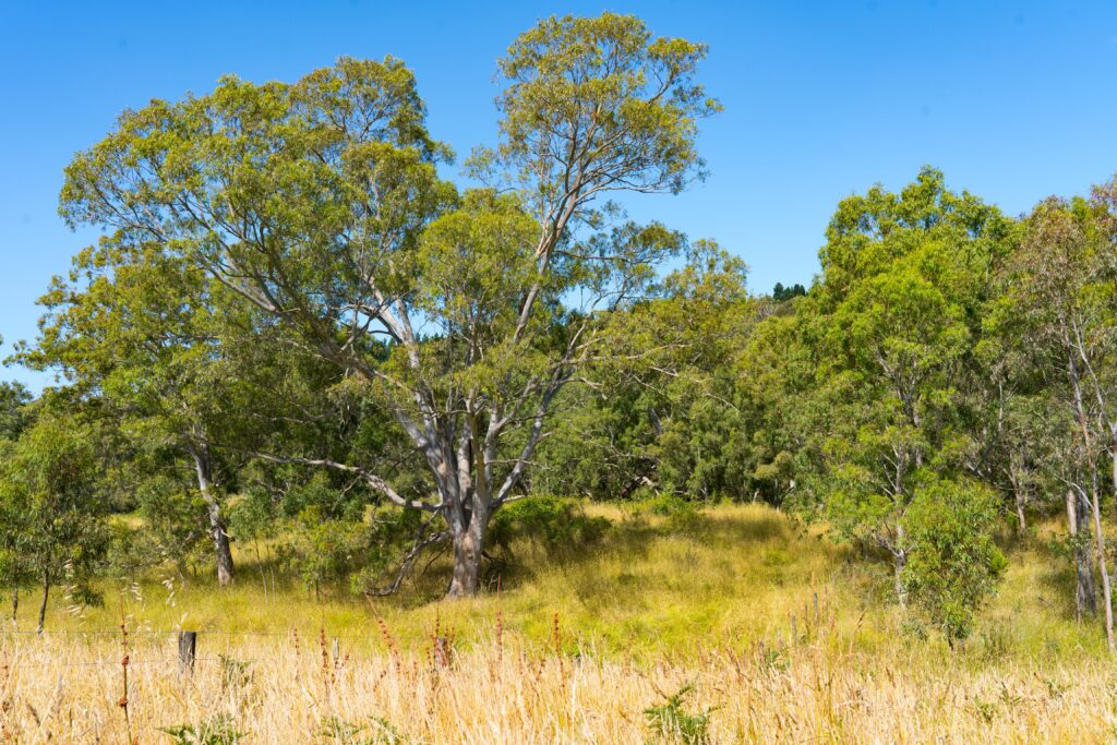
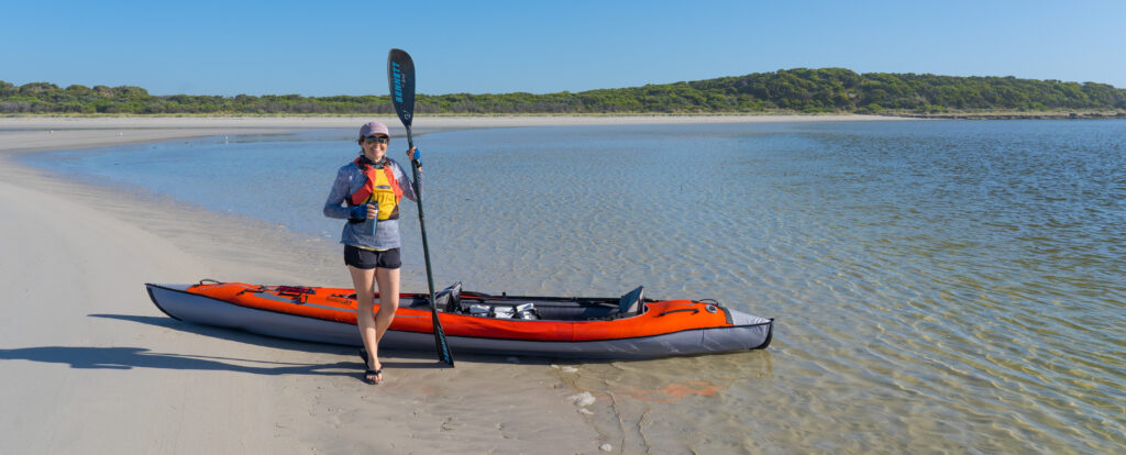
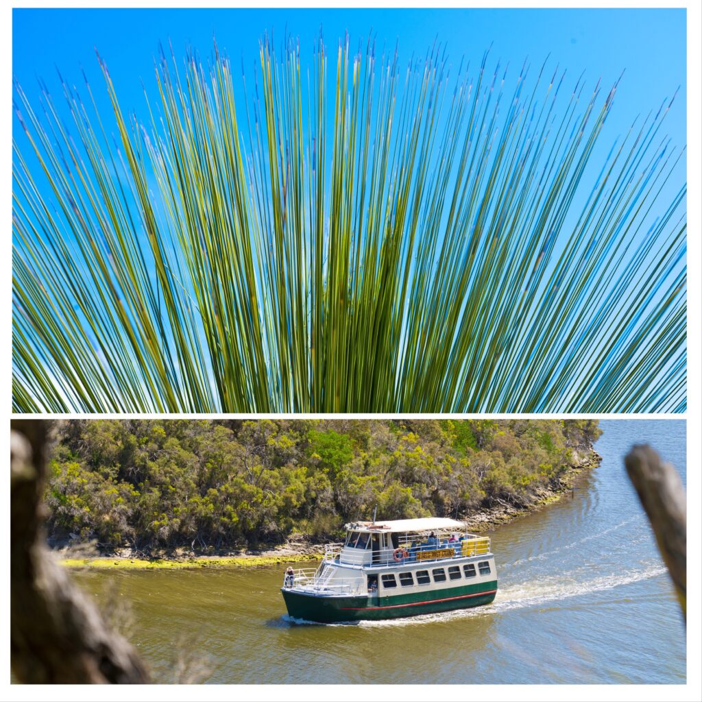
The Glenelg River is really the main draw card, winding as it does for over 100km though sandstone and limestone gorge country. A long distance footpath, the Great South West Walk (GSWW) also follows the river for much of its distance. We have got our new inflatable kayak wet a number of times as well as explored a little of the path. It’s an area that we would thouroughly recommend. Enough off the beaten track with 350km separating it from Melbourne and 400km from Adelaide, it still preserves that quintessential Australian coastal charm, with pristine (largely deserted) white sand beaches, with eucalyptus and melaleuca forest stretching down to azure blue waters.

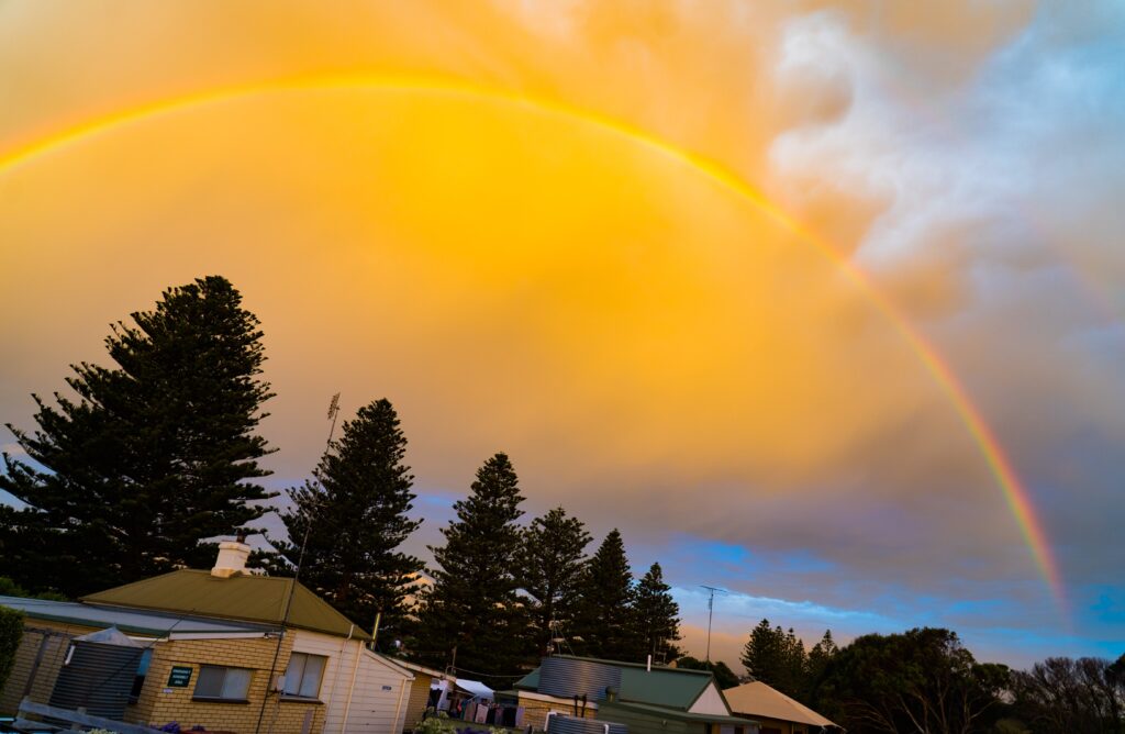
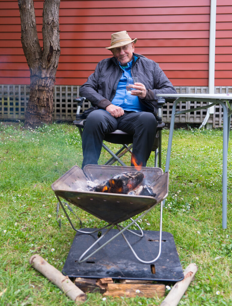
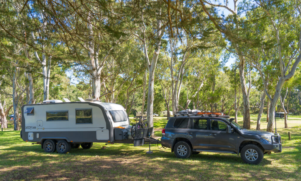
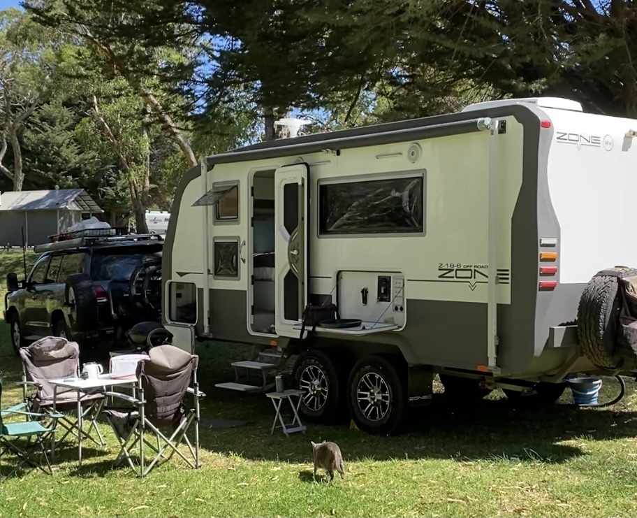
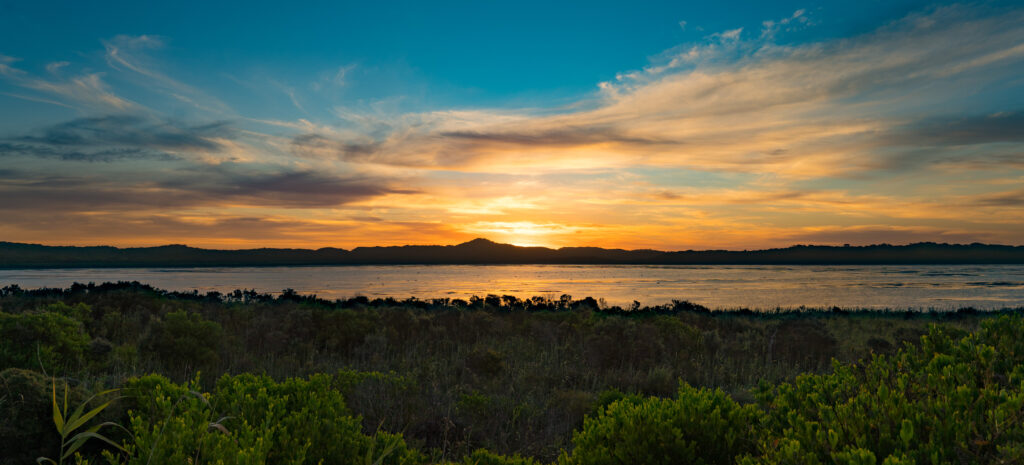
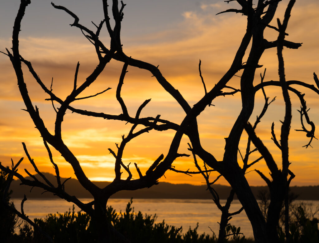
We had quite a job getting into our pitch on the campsite, described by one of the rather abrasive camps site managers as “one of our biggest sites”. Fifteen minutes later and her husband was still trying to get us squeezed in, winding around another caravan’s tow bar with about two centimetres to spare. He apologetically brought a couple of cold beers round after he had! We had amazing views over the mouth of the river, and were treated to several amazing sunrises and ets. A top spot.

Our brilliant (little) campsite with a great view of the estuary
Glenelg River at dawn
Glorious colours of sunset over the local farmland
Sun set over the estuary
Roosting water birds at sunset – spot the spoonbill…
Glenelg River at dusk – can you see the paddle boarder?
Glenelg River at night

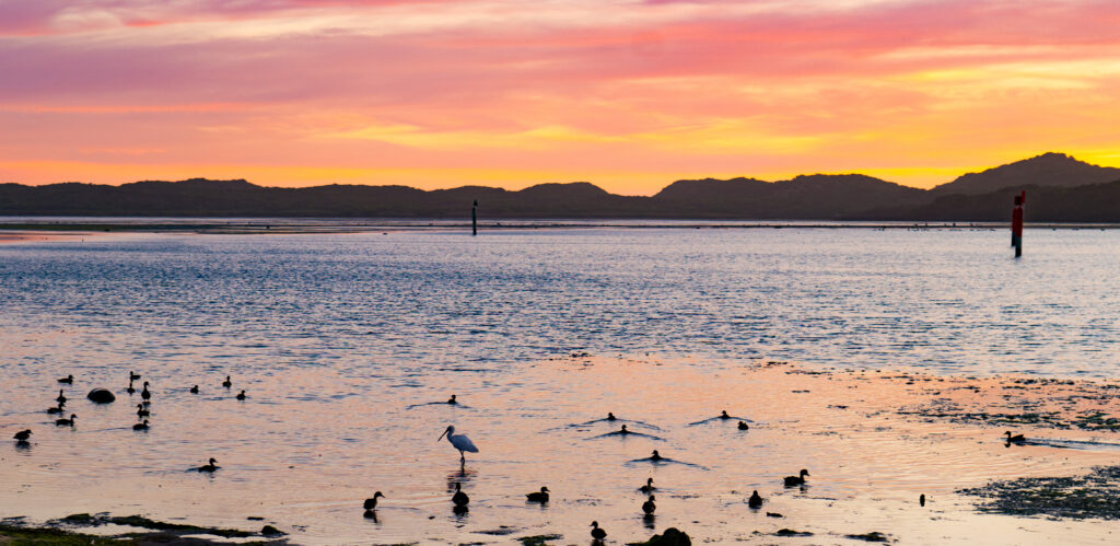
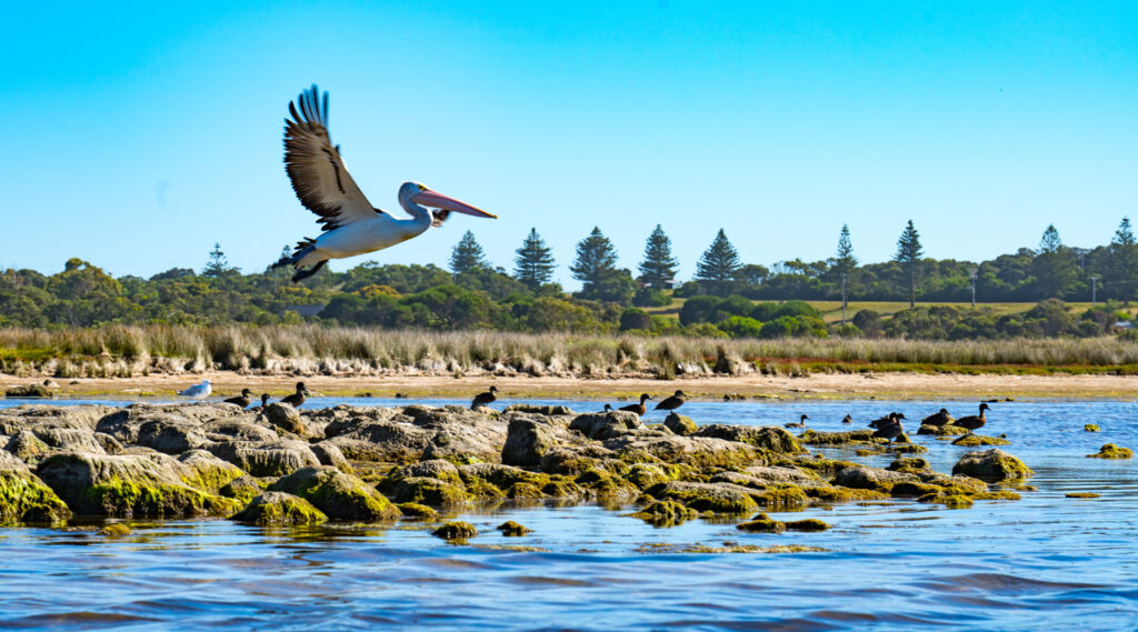
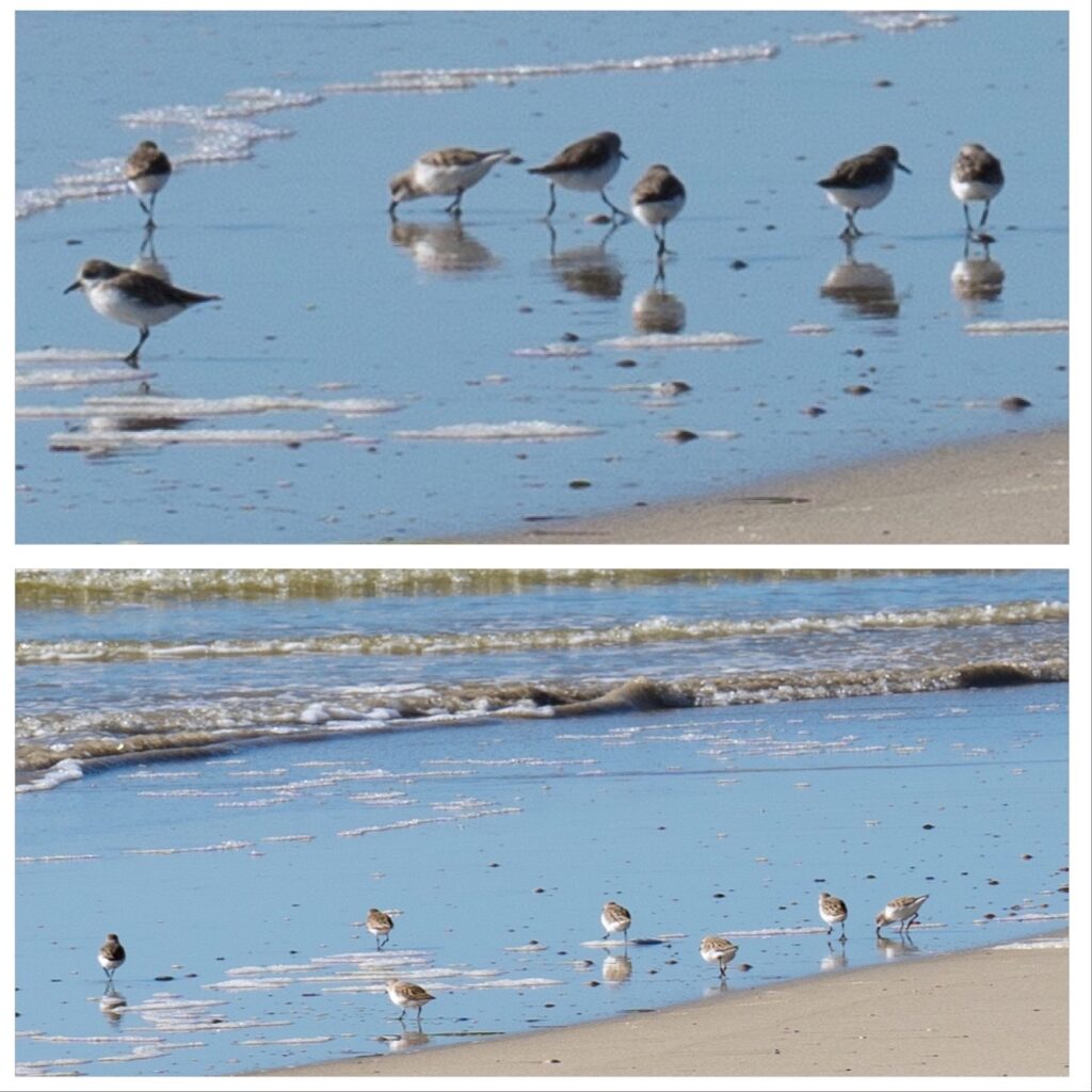
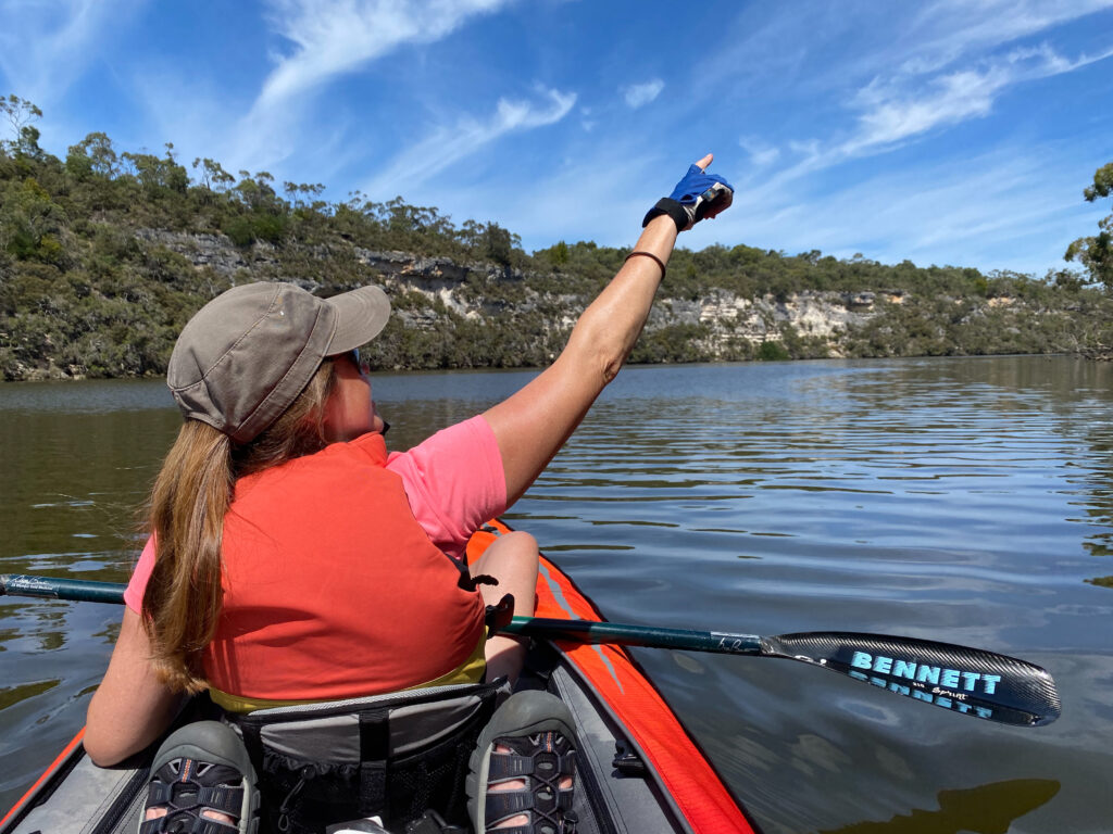
The new kayak is proving to be a great purchase, and we have had it out on the water for several trips. One trip (paddling map) across the estuary gave us top bird spotting opportunities with the range of water birds present. These included spoonbills, pelicans, nankeen night herons, white faced herons, black swans, musk ducks, sandpipers, terns, kingfishers and many more.

First human footprints (of the day) near the river mouth
Our new tangerine transport
A pelican takes off as we approach
Sandpipers at the water’s edge
An Azure Kingfisher hunting for baitfish at the water’s edge

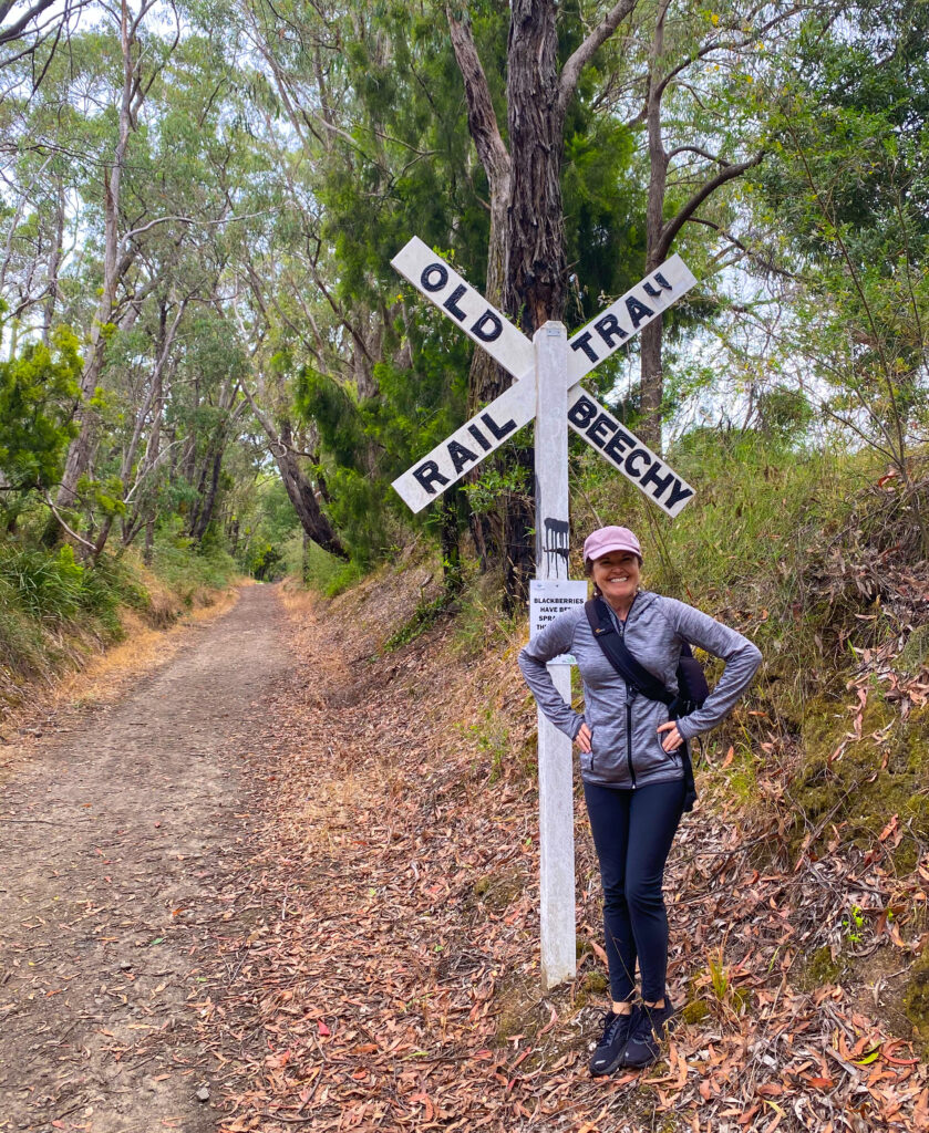
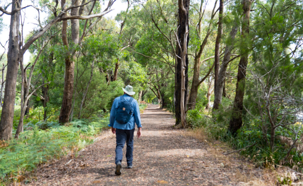
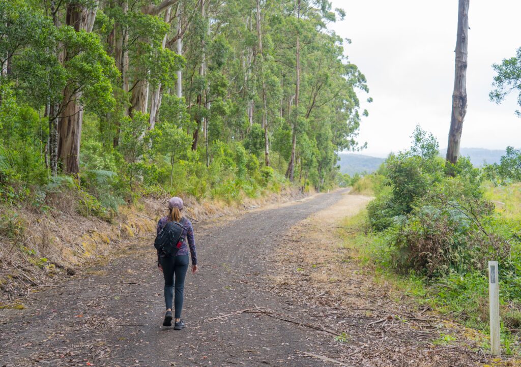
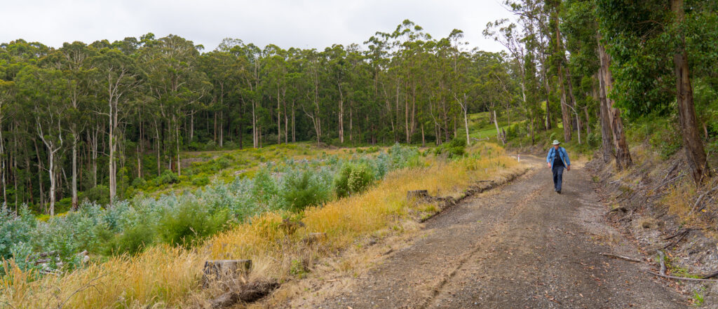
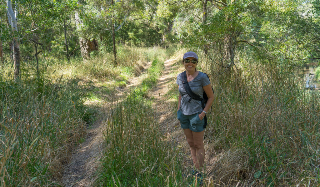
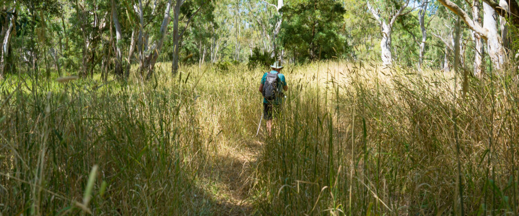
That afternoon we thought we had better give our legs a turn at exercise rather than the arms, so headed out to have a look at the long distance path mentioned above that runs through Nelson (walk map).

Some of the prettier parts of the walk
A view point over the river – speedboats and waterskiing is permitted in this area
Bottom: A tour boat takes visitors up to Margaret Rose Caves – currently closed due to Covid-19 restrictions. Top: the mesmerising fronds of a grass tree
We even crossed the border into South Australia without a permit…and back…

The GSWW follows a circular route (unusually) of over 260km along both the Southern Ocean and the Glenelg River, with 14 bush camps provided en route. We didn’t find the first section we did that inspiring to be honest, trudging along a four wheel drive track, with the odd vehicle skidding round sandy corners forcing us to jump into the bushes. Given the size of this country, to have a walking path share space with vehicles just seems downright mean.

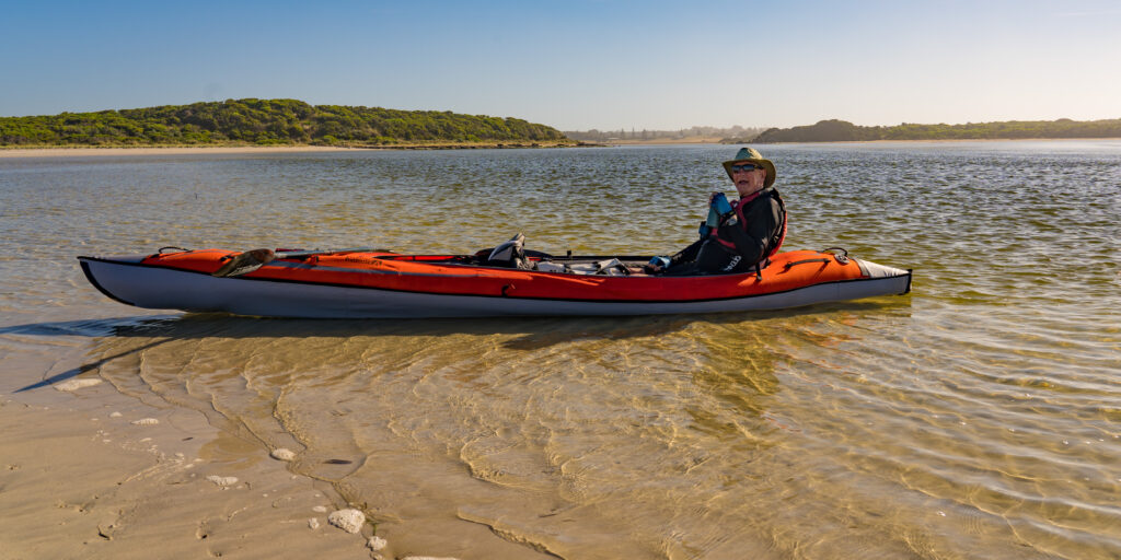
The next day, we took ourselves back on the water for another paddle, launching a short way up in the Lower Glenelg National Park.

A dangerously venomous Tiger Snake crossed our path on the way to our boat launching spot….we stayed well clear…
The perfectly still waters at Sandy Waterholes…not much sand to be seen though

We soon had the kayak pumped up. Each time we learn something new and it gets a bit easier and quicker.

From bag to boat with only a few pumps of air

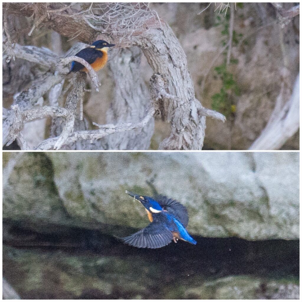
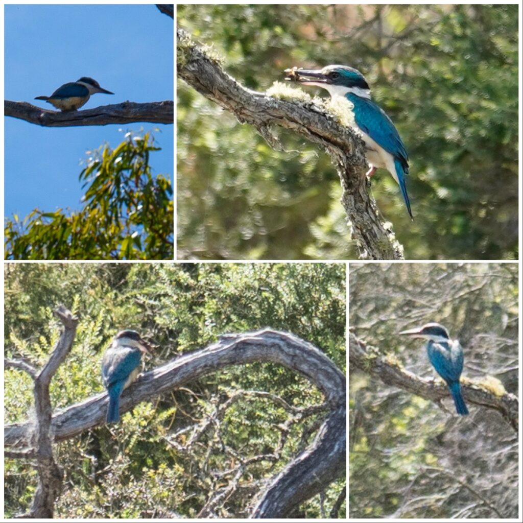
A short way along the river we soon saw to our delight a kingfisher darting amongst the trees. These little guys don’t stay still long and don’t come close, so Catherine found it a challenge to catch one in focus.

Mrs A points out a kingfisher in the trees
This is a Sacred Kingfisher – she was feeding a chick up in the trees – mostly with insects rather than fish

The heat soon forced us though to retreat back to the car, as it was 33 degrees with no shade on the river. We had really left it too late to get out, as it was nearly 11am before we launched. With boiling brains we headed back to camp and a few cold drinks.

Our final day at Nelson was even hotter at 38 degrees with 40kph winds making it feel like you were constantly having a hair dryer pointed at you. The washing didn‘t take long to dry though!

The southerly arrived finally to cool us down
Just in time to give us a farewell sunset

5-7 January – A taster of country Victoria

Author: Mrs A

Location: Gellibrand and Dartmoor, Victoria, Australia

We pulled out of Owen’s driveway on Tuesday morning, pointing our noses west. Our intention was to get quickly close to the South Australian state border, in case they decide to close to Victorians. Yes, our travels are forever driven by this evil virus! Fortunately the premier has remained calm so far, and with the latest news that there are no further positive cases in the state makes us optimistic there won’t be any hasty decisions.

As long as there is sunshine, solar cat Tassie is very happy

Our destination for the night was a little village called Gellibrand, located in the Otway Ranges. With a caravan park, no shops and little over 200 residents, we were initially unable to learn much about the area.

The campsite website boasted it was close to the walks and waterfalls of the Otways, but after five hours of travelling, we were not keen to do another 40 minute drive to the nearest falls. Then Mark spotted something intriguing on the map written in tiny writing: ‘Old Beechy Rail Trail’. We investigated further, discovering it is a 45km trail, 30km of which follows a former railway track . Asking at the campsite office we found the path went right through the grounds of where we were staying. We decided to tackle some of it on foot.

Setting off on the trail
The scent of the eucalyptus forest after the day’s light rain was incredible

What a great path (walk map)! The trail wound its way up along undulating hills, through spectacular old eucalyptus forests packed with bird life. At every turn there were yellow robins, crimson rosellas and fly catchers swooping across our track. We passed through farmland and forestry area, the views opening up the higher we climbed. After about 6km we decided we should turn around and begin walking back to camp, seeing our first person in nearly two hours, a solo mountain biker exploring the area.

The clouds hang low over the surrounding area, just light drizzle occasionally falling
I know you have missed our bovine photographs! The winter brought plenty of rain so the grass is incredibly tall.
Woodland wild flowers
Parts of the old railway slowly rotting into the surrounding forest. This was built in the early 1900s.
Gleaming gum tree trunks
A quiet walk, just us and the birds
Misty views across the valley
Mr A walks past a new eucalyptus plantation

After our walk we had a lovely peaceful night in Gellibrand, and decided to book in for a second night.

The following day was showery, so we got down to doing some jobs – Mr ‘handy’ A fitting a tyre monitoring system, filling the airbags in the back of the car and other long forgotten tasks. We rewarded ourselves with dinner around a campfire – the first one of those we have had in a long while.

Mr A proving you can enjoy an open fire without wine – we’re sticking to water for a few days off the alcohol!

We moved on our way on Thursday morning, stocking up with our last supplies for. a while in the nearby town of Colac and driving through sparsely populated agricultural land.

Long straight roads are the order of the day, and not a Roman in sight
Not too many hills in these parts

Our destination was the tiny village of Dartmoor. Despite bearing absolutely no resemblance, the town was named after the wild and misty moor of the same name in Devon in the UK. It was settled after some of Australia’s founding explorers set up camp here, with the original settlers arriving in the mid 1800s. Today, it has a general store, a pub, an ‘op-shop’ (charity shop) and a post office. The sleepy community has generously provided a stunning waterside park area for campers and caravanners to stay gratis, with toilets provided. This was our destination.

A fine camp site for the evening

We found a quiet spot with a great view across the park towards the Glenelg River. Despite being a free camp, there were no barking dogs, loud music or chainsaws to be heard! Just the squark of cockatoos, warbling of magpies and laughter of kookaburras echoing across the valley. We went for an explore (walk map).

Miss Tassie was very happy with our choice of camp which gave her the chance to explore relatively freely (supervised for her protection – at her age she’s no threat to the wildlife!)
The view from our window

This part of the Glenelg River is not considered navigable, with fairly shallow waters and plenty of trees and submerged branches to be seen. Like all too many of Australia’s rivers, it has been colonised by introduced European Carp, which turn rivers that usually are clean, clear and pristine into cloudy, muddy waterways, having a negative impact on native aquatic life – both flora and fauna.

There is a swimming hole near the camp, with steps and a wooden jetty allowing access, but its muddy waters didn’t tempt us in. As we approached, Mr A gasped as he spotted a shy black wallaby having a drink down by the water. It didn’t hang around. The wallaby eyed us with suspicion before bounding off to the safety of the woodland.

A shy Black Wallaby eyes us suspiciously before hopping off into the undergrowth
A little piece of calm on the Glenelg River

We found a path winding off alongside the river, so went for an explore. The grass was so tall, it swamped even Mark – perfect snake territory, we mused. Indeed, it was only a few minutes after mentioning this that I jumped as I saw a large red-bellied black snake slithering off the path and into the undergrowth. While venomous, these snakes are quite shy, and there have been no recorded deaths from their bites, but it’s still a shock to encounter one, nevertheless!

We’re going on a koala hunt… (they’re well hidden!)
Mark disappears into the tall grass
Riverside scenery

We returned to camp for a delicious spaghetti marinara, and drifted off to sleep to the sound of the bizarre mating calls of the koalas which had remained well hidden during the day.

We’re moving camps in the morning, but remaining beside the Glenelg River, so hopefully will get another chance to spot them in the coming days.