Author: Mr A
Location: Northern Flinders and Marree, Northern South Australia
Australia has this brand of being populated with outdoorsy and Crocodile Dundee outback types, but in fact is one of the most urbanised nations in the world, with two thirds of Aussies living in a capital city, and 90 per cent of them clustering into just 0.22 per cent of the country’s land area. So when you are away from the urban areas, as we mainly are, it sure isn’t busy! And we are about to head into one of the least populated areas of the country, the vast expanse of the far northern end of South Australia.
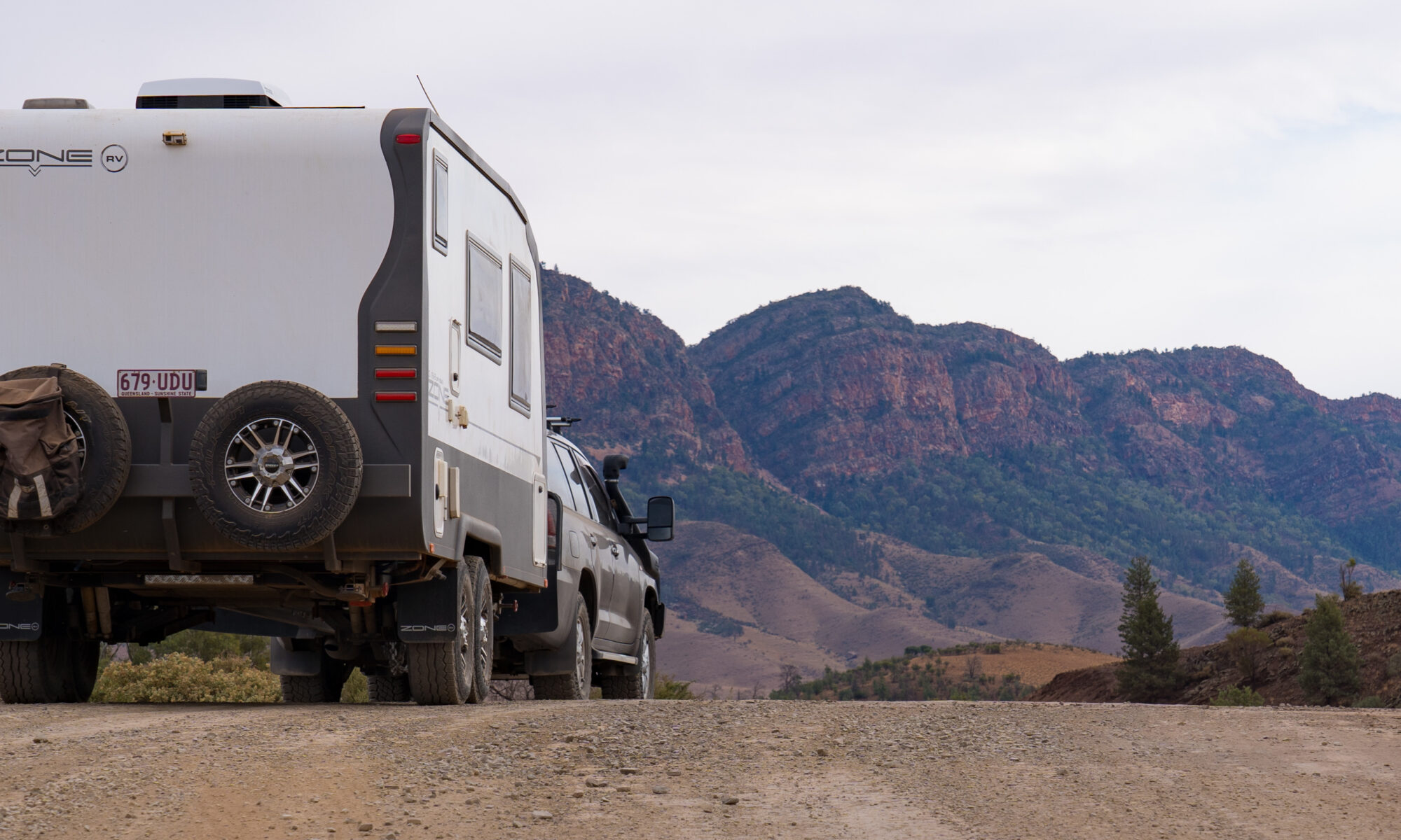
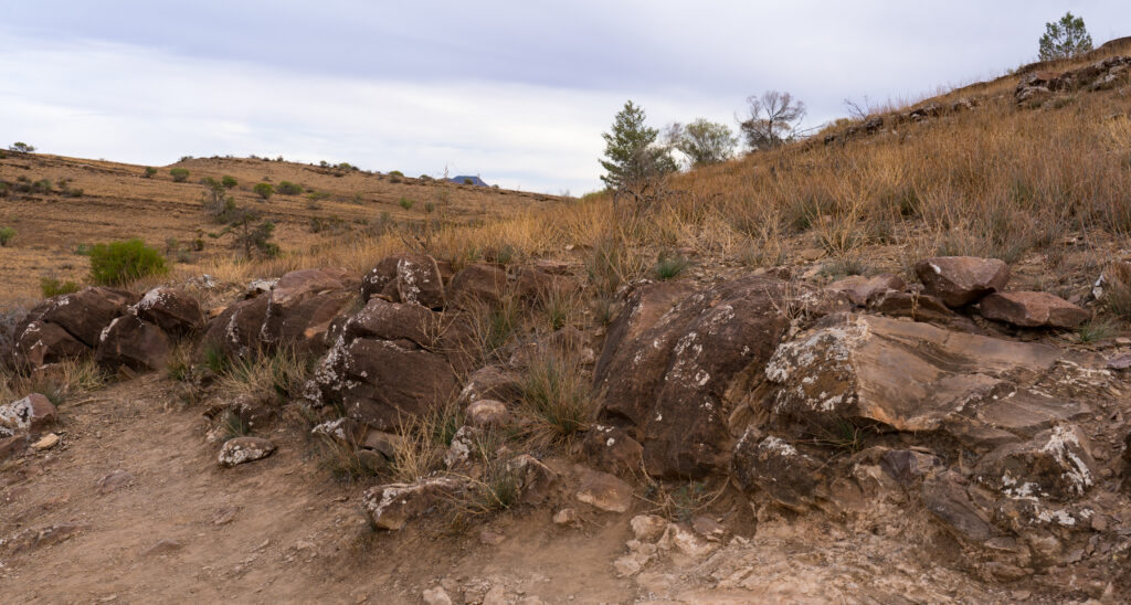
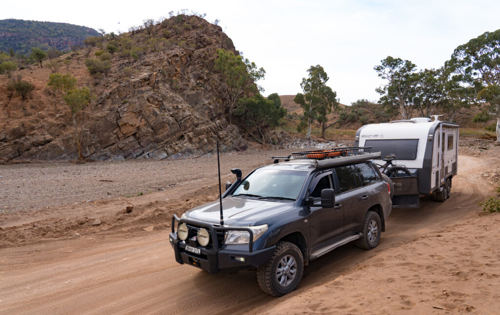
Leaving behind the relative comforts of the campsite at Rawnsley Park Station in the southern Flinders, we headed north for the drive up to our next destination of the small settlement of Maree. Catherine had spotted that on the way there was a “self-guided drive” along an area of outstanding geological significance. As a geographer by education she was keen. Me, I know whats good for me, I go where I’m told 🙂
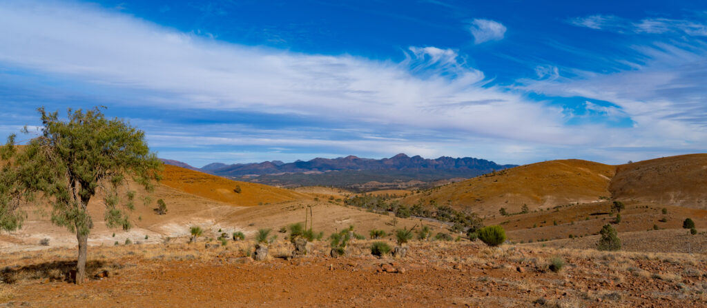
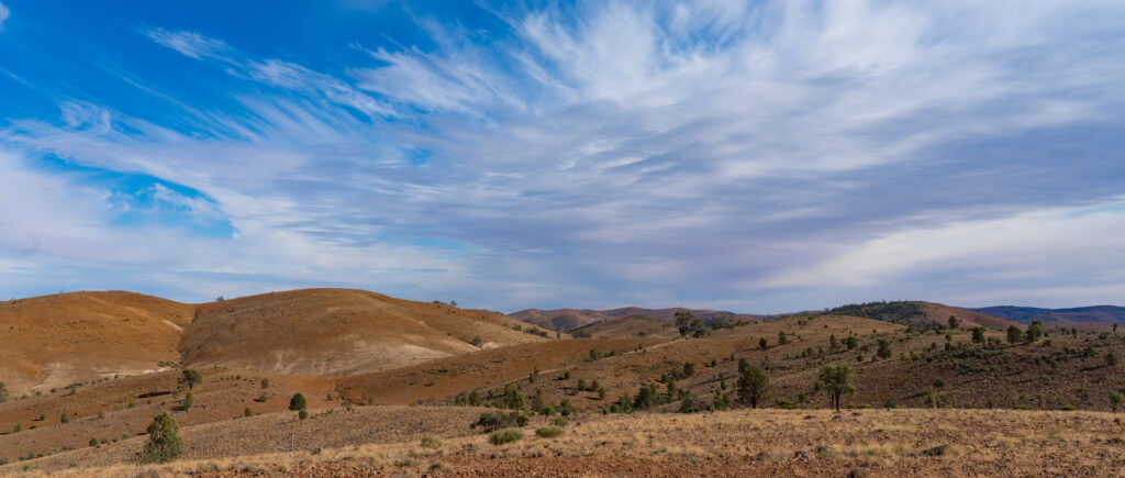
It was actually a very interesting drive, a little rougher than I expected, but the information boards told a fascinating story of this ancient landscape. When you read that something you’re looking at is 610 million years old, it really puts in perspective the impact we homo sapiens have had in such a microcosm of time, so much so we have our own geological period unofficially named for us – the Anthropocene.
We also saw stromatolites, which are some of the earliest life forms we have found evidence of (the oldest being the ones we saw in WA dated to around 3,500 million years old!), and as the ozone layer built up over hundreds of millions of years (and that we put at risk in a decades, thanks to strong global action, now seems to be repairing) it created the first known complex life forms of Ediacara Fauna (soft bodied sea dwellers).
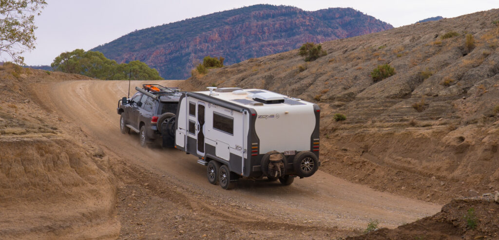
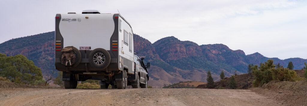
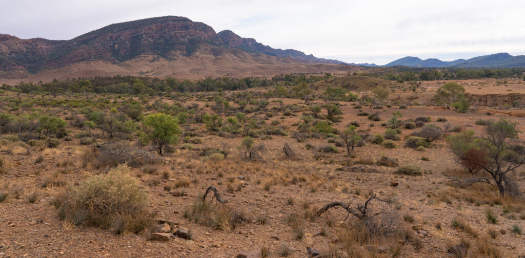
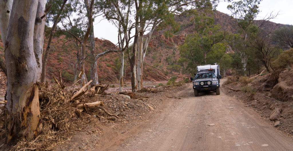
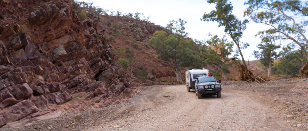
So with our heads stuffed full of this geological wonder, we emerged back on to the tarmac again and set course for the small mining town of Leigh Creek. Well, it was a mining town until the coal mine closed in 2015, and it may become one again if the plan goes ahead to create a key ingredient for fertiliser by heating the underground coal seams. We were relieved to see that not only was the local supermarket still open (the town has dwindled to around 120 people now) but was really well stocked with fresh fruit and veg. This is most unusual, and we were very grateful, as the next supermarket on our route north would be 1,201km away!
When you look at the health stats on rural Australians, they have lower life expectancies, and suffer from more preventable diseases. It just isn’t healthy in the (remote) country. It really doesn’t surprise us looking at the contents of most of these remote stores, and as for exercise opportunities, well there’s certainly a dearth of walking or cycling routes, and a climate that for much of the year would make using them pretty uncomfortable.
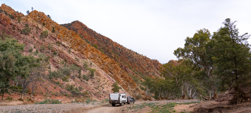
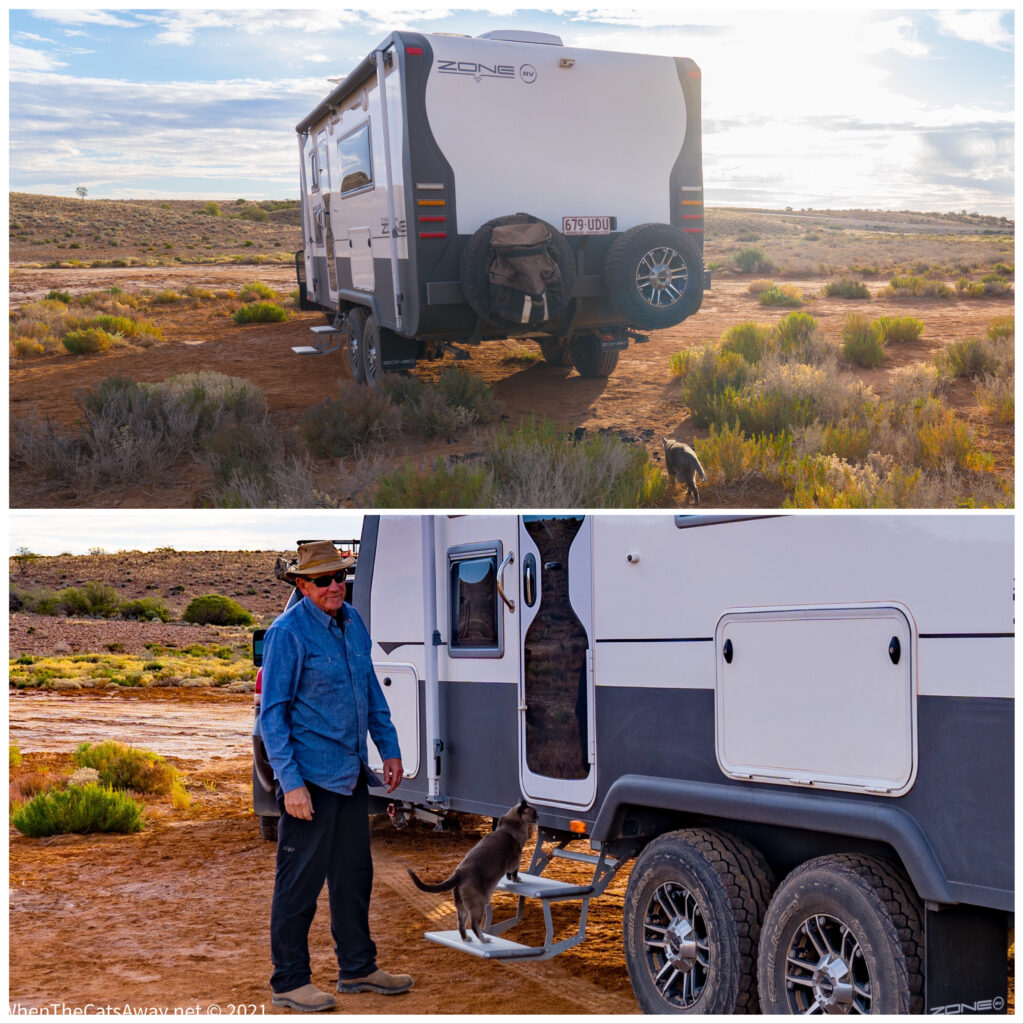
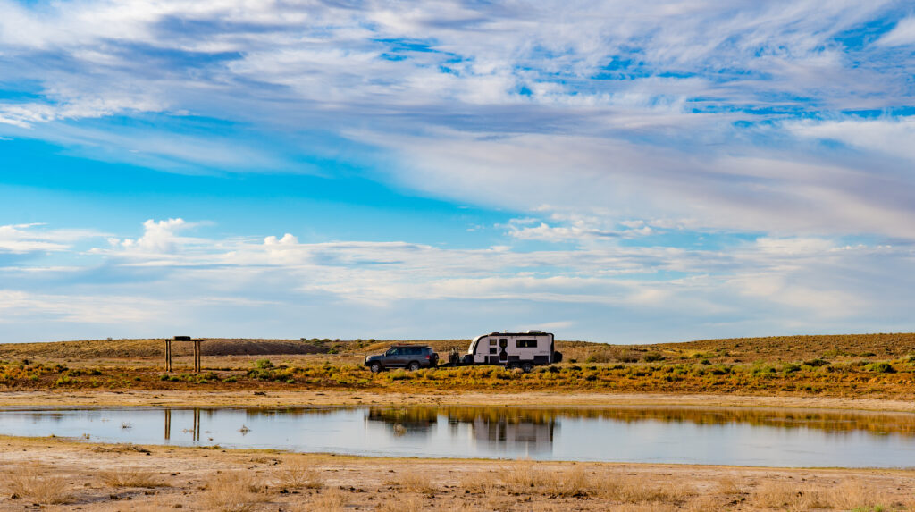
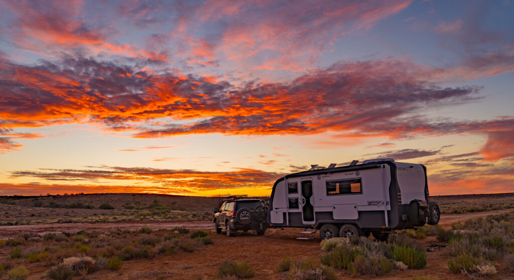
We pulled off for the night a 100km short of Marree, by Clarrie’s Waterhole. Nothing there, just a flattish piece of gravel, and with full water tanks and fridges that is all we needed. We were treated to a big outback sunset, then settled in for what was a very peaceful night.
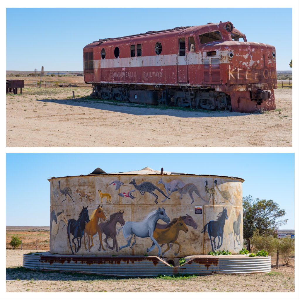
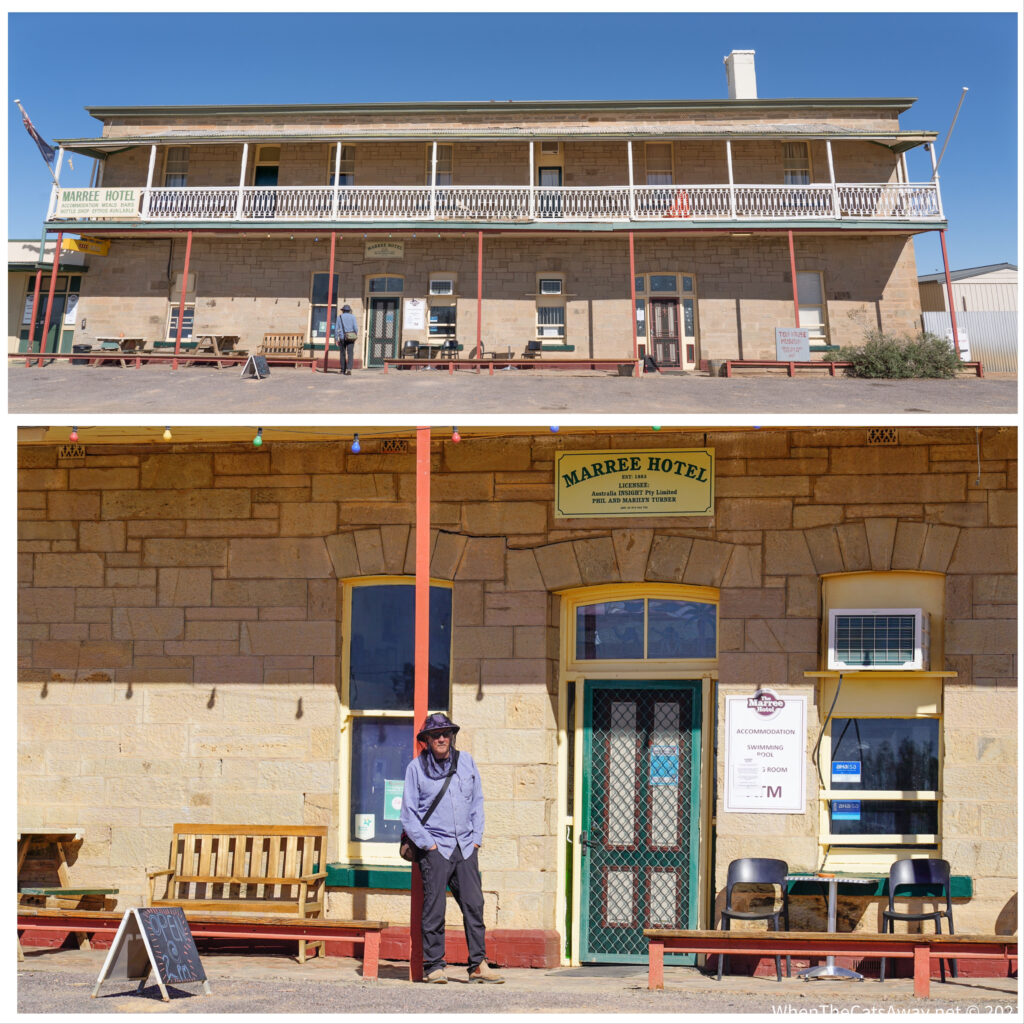
The morning saw us make the short run into Marree, a small (150 people and still dropping) service centre for the large sheep and cattle farms in this remote area of far north South Australia. It also lies at the junction of two inconic outback travel routes the Oodnadatta Track (which runs for over 600km up to the north west) and the Birdsville Track, that we will be taking.
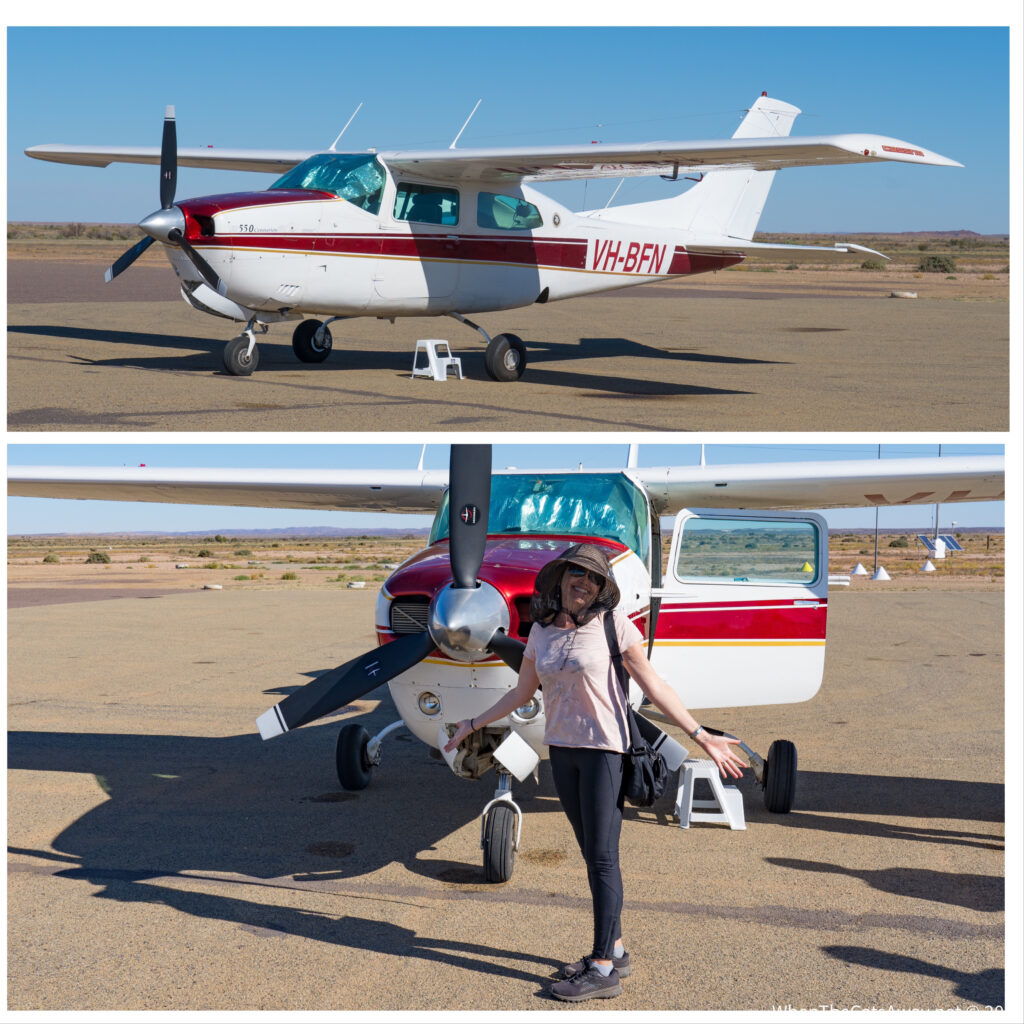
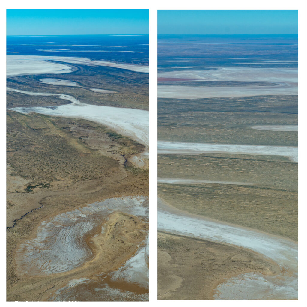
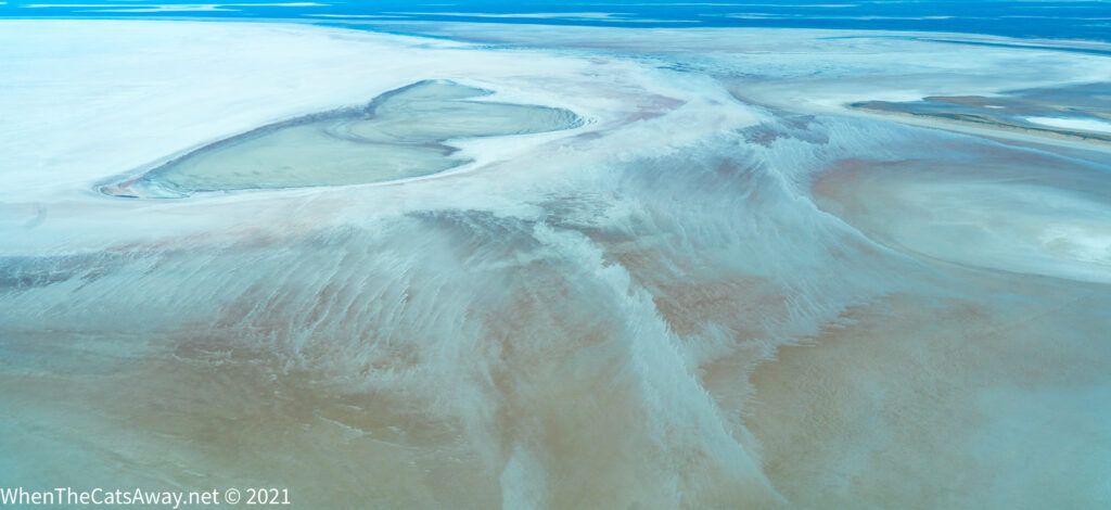
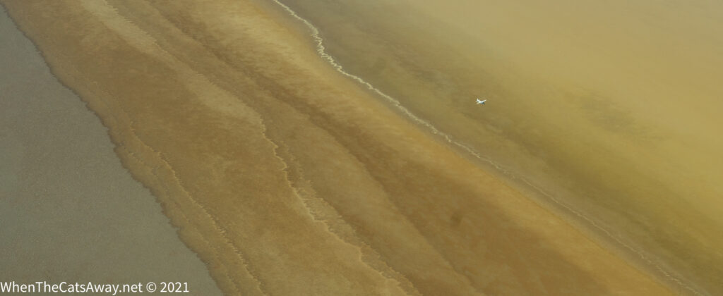
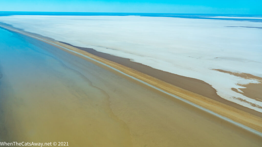
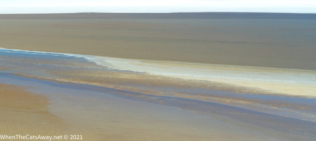
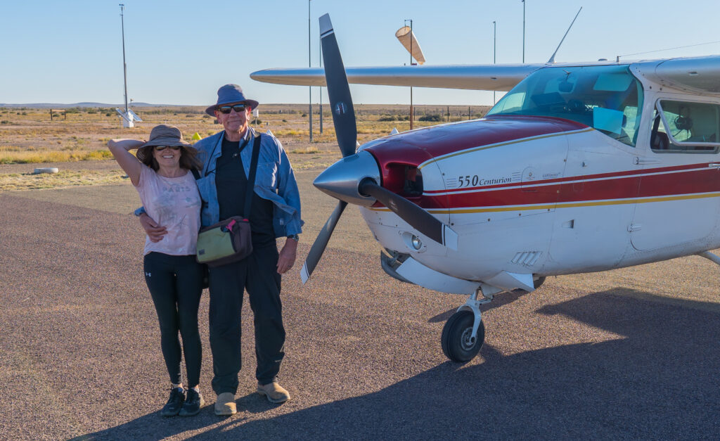
I noticed the roadhouse operates scenic flights from here over Kati Thanda – Lake Eyre. A bit of bucket list item for us, particularly as it has water from the Queensland floods now reaching it – a particularly rare occurrence. So off we went for our 90 minute ride around the skies above this massive natural wonder.
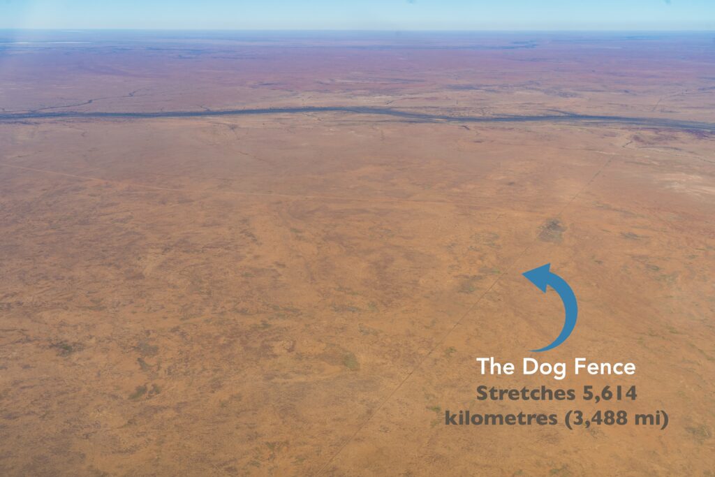
We thank the Arabunna people as, since 2012, the recognised traditional owners of the land we flew over. What an incredible landscape these people have lived on for thousands of years, before the Europeans arrived and claimed the land as their own in order to graze their sheep and cattle on.
In those rare flood years, it fills 960 sq kilometres of lake – for comparison, Sydney Harbour is 55 sq km. When it is dry and the salt is hard, it’s big and solid enough for Donald Campbell to have set a world land speed record on, averaging 649kph! It also is home to the lowest natural point on the Australian mainland, at 15 metres below sea level.

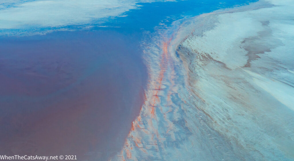
The area also has its fair share of mysteries, such as how do birds who are thousands of kilometres away know that the lake has flooded and fly there? In the 1998/99 flood apparently around 80% of Australia’s total pelican population turned up there! Just one of the mysteries surrounding bird navigation. If it is a subject that interests you, like it does us, check out the Sunday Times Nature Book of the Year in 2019 “Incredible Journeys’. It collects all that we know currently about how animals (including us) navigate, and highlights by implication so much of what still remains a mystery.
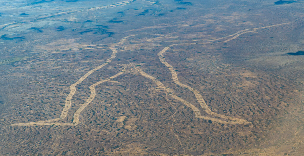
Another mystery in the area is the so called “Marree Man”, a modern geoglyph (large design you can only really appreciate from the air), but unlike the famous ones in the UK and South America, this was created, by persons unknown in the winter of 1998. Thanks to NASA for enabling the timeframe for its creation to be nailed down, but nobody since has owned up to being the artist, despite Dick Smith even offering a $5,000 reward! You can’t beat an outback mystery…
Today we are heading off up the Birdsville Track. We are unlikely to have any internet for the next few days (or possibly longer if we linger!), so all going well we will post next from the Birdsville Pub in state number four for this trip – Queensland!
