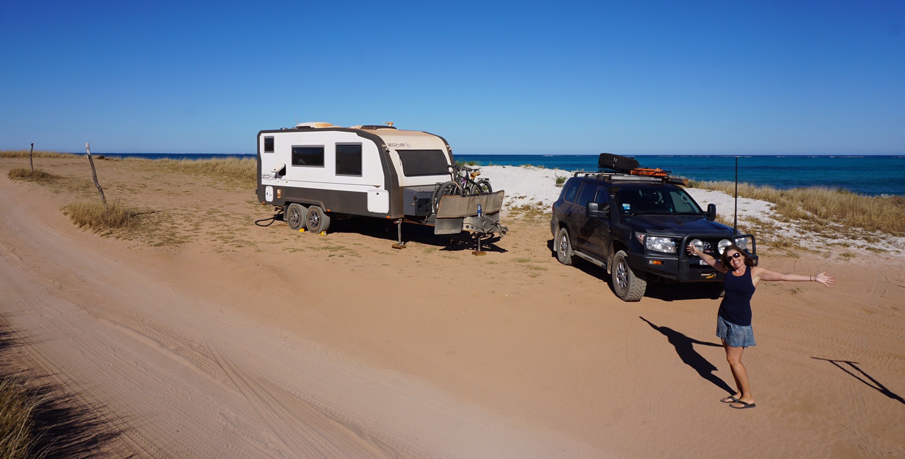
Author: Mr A
Location: Wooleen Station
Distance hiked: 8 km
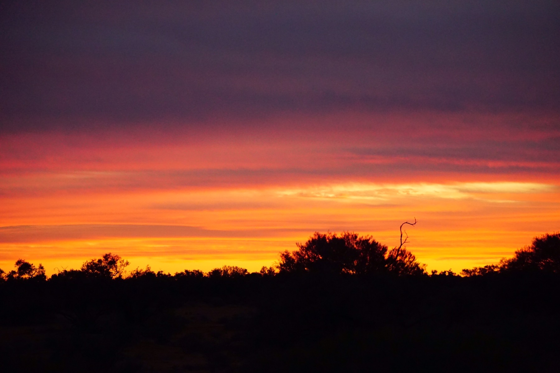
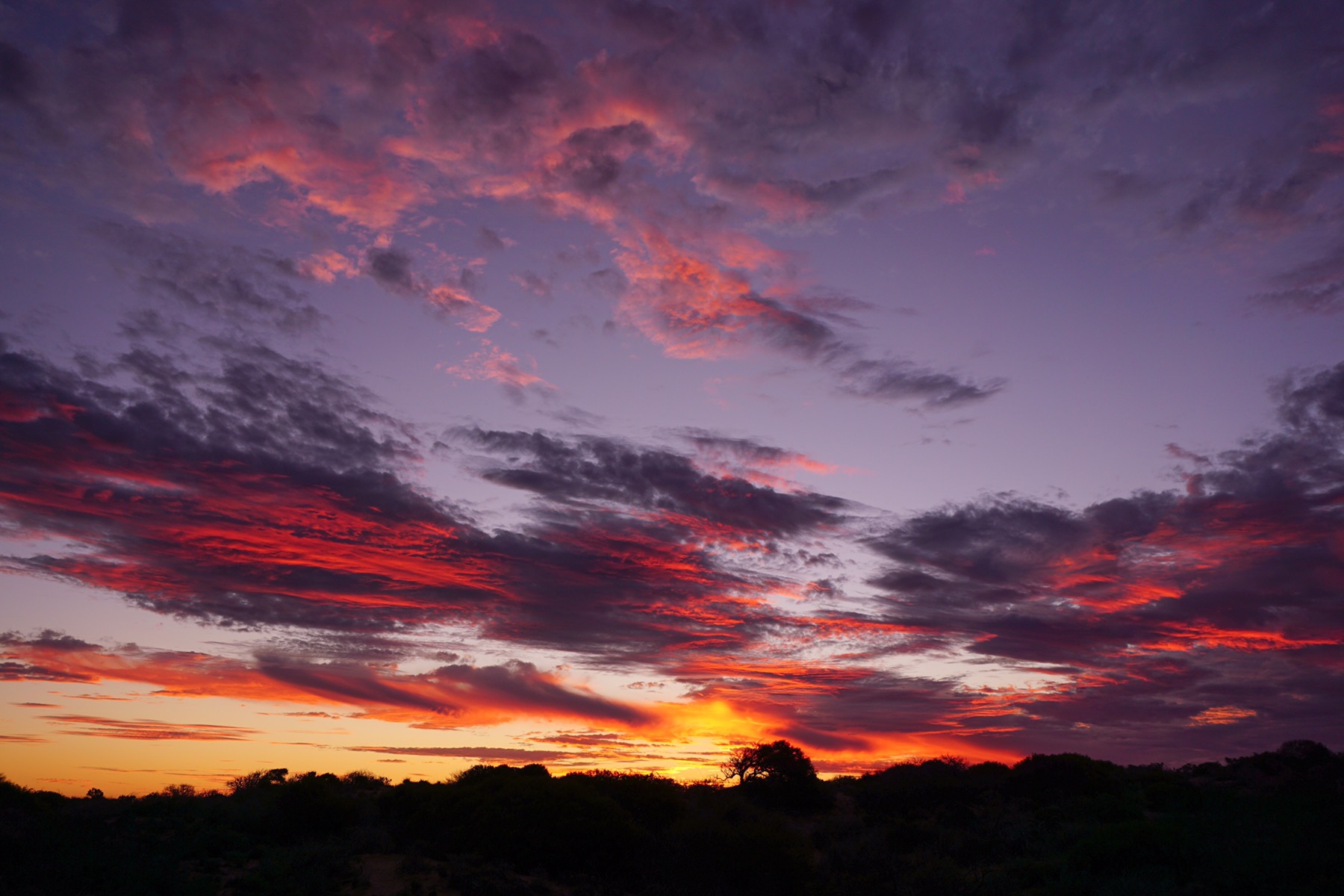
I pulled down a blind in the van and was greeted by leaden grey skies – quite a shock to the retina after our months of being greeted by another blue sky day. Nothing was encouraging us to venture out too quickly…so we didn’t. A late breakfast and then we drove back to the homestead feeling we should at least chalk up something today.
A walk was chosen from a couple of detailed booklets we had been handed when we checked in. It was really well documented history lesson on the property, showing us old graves, the remains of various ramshackle buildings and even the 1800s rubbish dump! It was such a dull day it just exacerbated the feeling of desolation that hangs around these stories of battlers against the odds of the vagaries of drought and floods in outback WA. What these people went through to try and eke a living beggars belief.

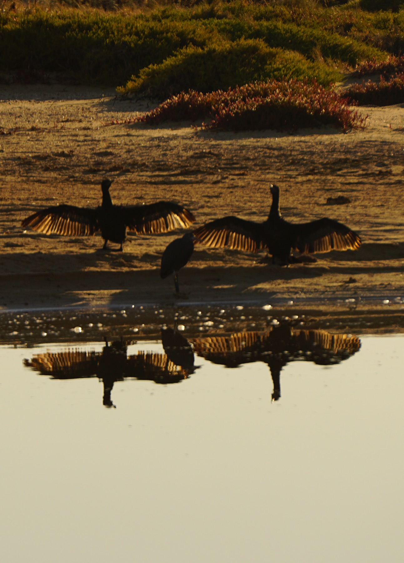
We saw zebra finches taking a morning bath, and an as yet unidentifed interloper (in photo below for Rosemary to identify ;-)).

We headed back to the comfort of our van both quiet and thoughtful, thinking how lucky we were. The temperature here regularly climbs beyond 50 degrees in the summer – that’s Celsius for our overseas readers. There would be no relief at night either with the temperature staying over 40 degrees. Imagine that with no A/C, fridge, cold beer! These settlers trying to make a new life here must have yearned for a “hot” English summer day that some of them would remember from their previous lives.
A quiet afternoon in the van, my achievements only including knocking a glass of diet coke all after the ever so patient Mrs A. This was followed by me trying to “mend” her prized kitchen device, the hand operated food processor. That ended in her throwing it away. I had succeeeded in turning it from a partially fiunctioning device into a number of never to be re-assembled parts.
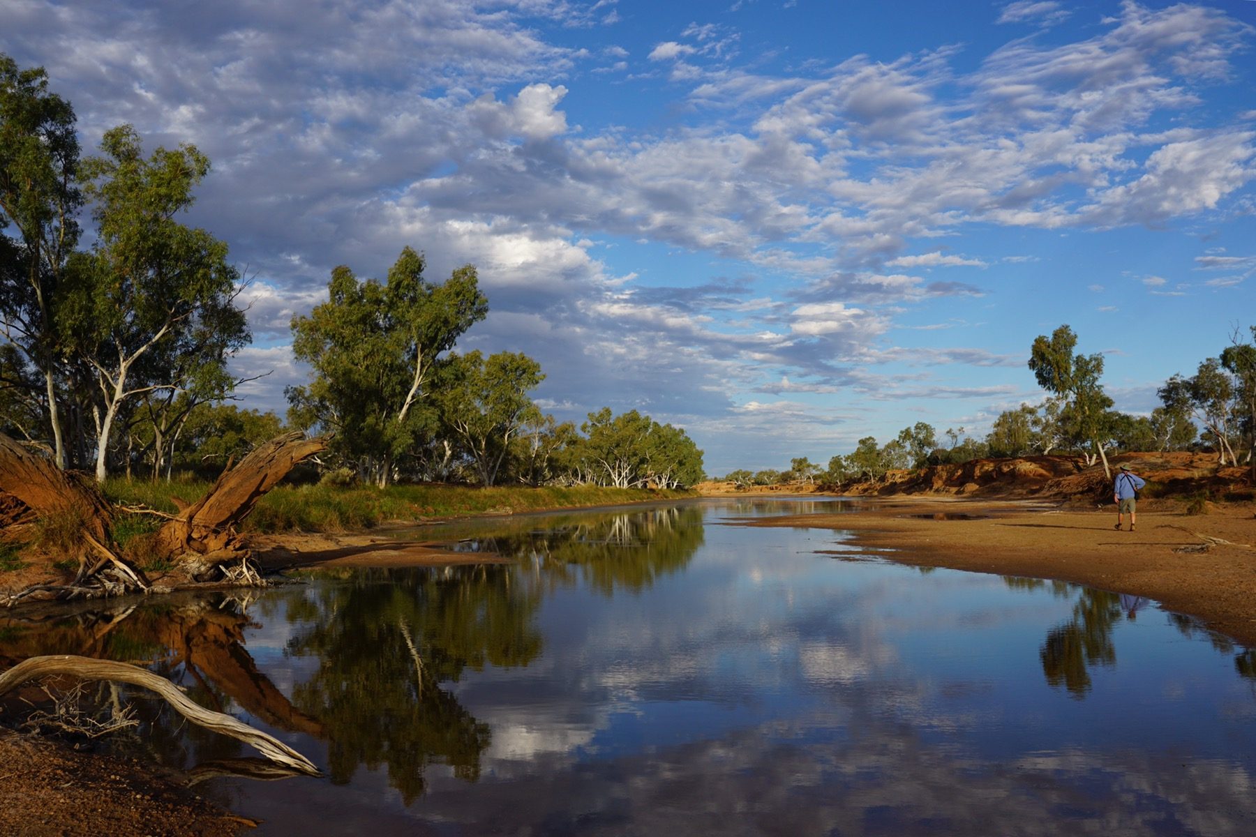
We finally headed out again late afternoon, before things got too worked up. We walked up the Murchison River and spotted some Major Mitchell pink cockatoos, which immediately shook off the rather somber mood we had been in today with their pompous, strutting and waddling gait. We spotted heaps of other birds including black swans, welcome swallows, herons and ducks.

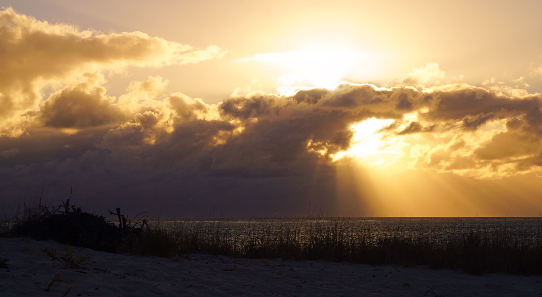
The sun was going down as we headed back to our little paradise on wheels for…..homemade chorizo pizza!!!