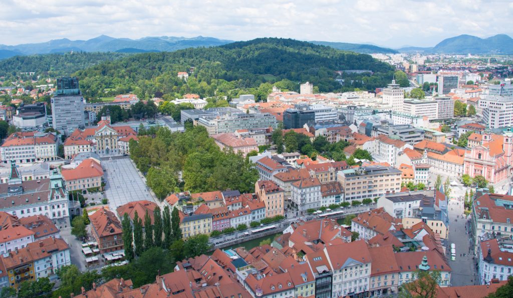
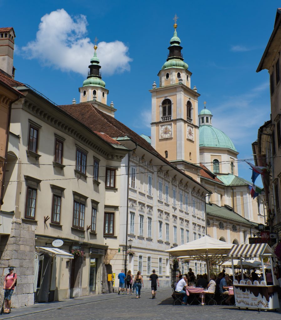
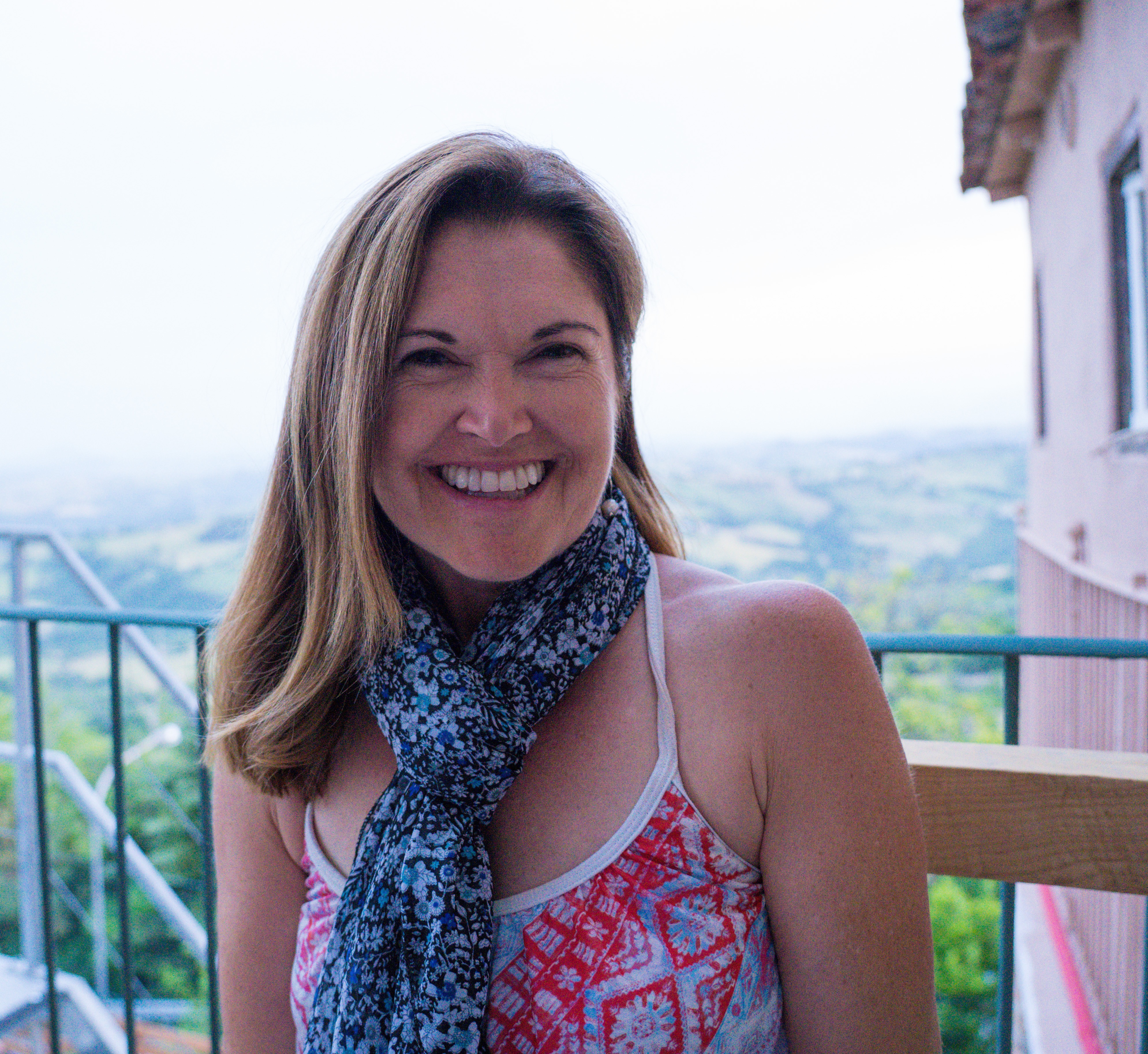
We found a place to park Truffy and wandered into Slovenia’s capital city – all very easy as it’s so dinky! The vibe was just so good.
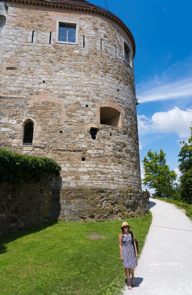
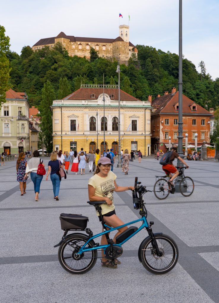
We climbed up to its centrepiece, the magnificent castle.
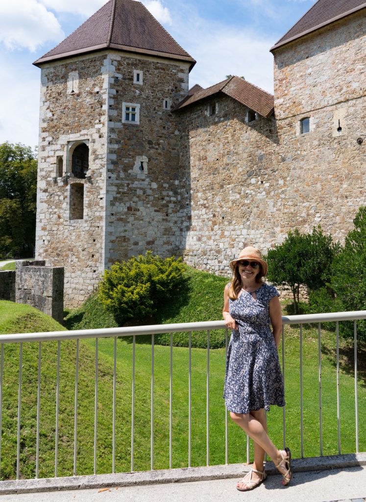
Our first sight of the castle walls as we climb up Mrs A relishing every single easy breathLooking down to where we started…great views all the way
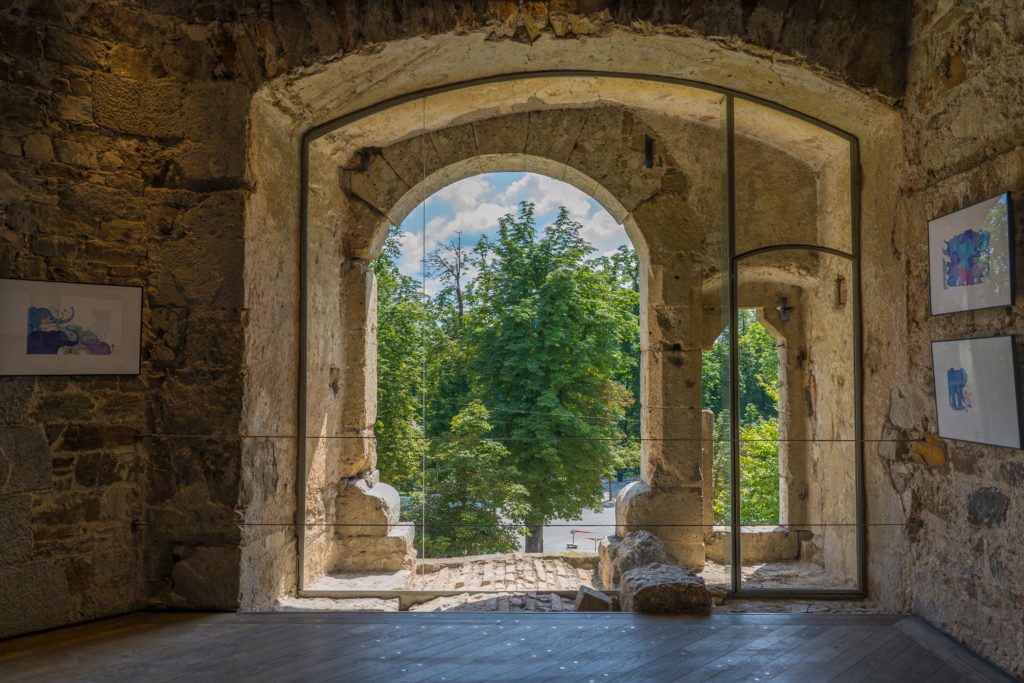
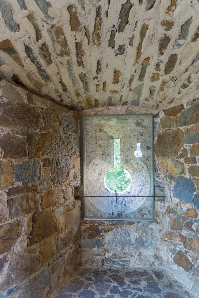
We did the whole Ljubljana Castle tour with audio sets and it was so worth it. From the unique artefacts showcased in the museum (including a 5,000 year old Celtic vase), to the description of its turbulent history as it suffered the onslaught of the mighty Ottoman Empire – at one stage only 100 miles from its doorstep, to the beautiful entertaining spaces that have been created inside the old castle walls and are a hub for modern day culture in Slovenia.
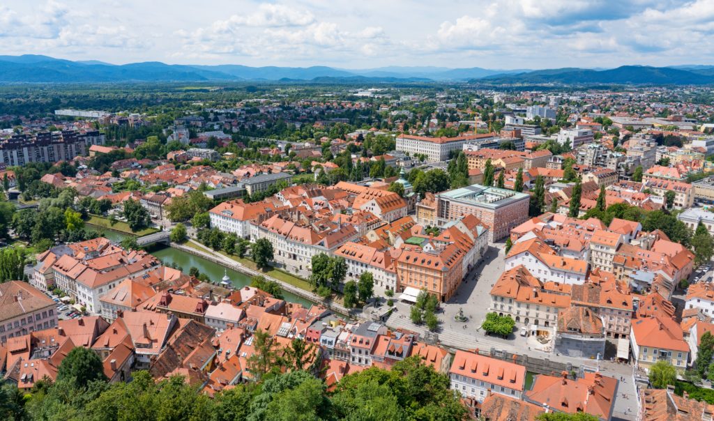
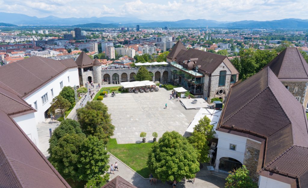
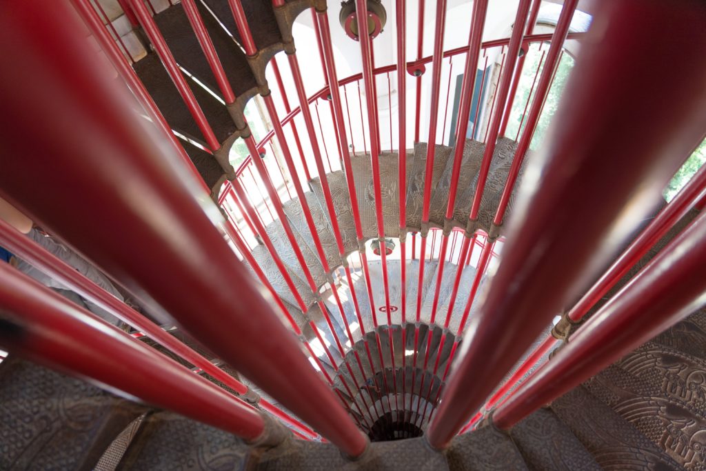
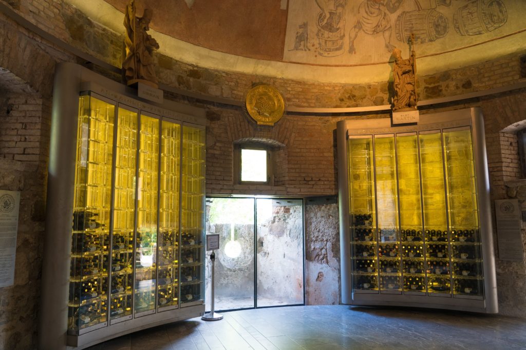
An art exhibition space in what used to be artiilery storageRestored rooms with colourful storiesOn climbing to the highest tower, amazing views over the city and beyondLooking into the castle groundsYou can see a third of Slovenia from the top of this towerSpiral staircases – wisely providing separate staircases for up and downNow that’s what I call a wine fridge…or two…
Really the only parts of its history not covered was that during the Second World World War it served as an Italian prison (was that a deliberate omission? I don’t really understand the unwritten rules around what’s not spoken about in a tourist context). Then right up until the 1960s the castle was used as overspill city housing for the poor.
Imagine calling this your home…One solid building
A short ride down on the funicular railway and it was time for lunch. We seem to have slipped unconsciously into that Mediterranean pattern of no breakfast (well we substitute tea for their coffee), then lunch as our main meal and a snack at night. I think Catherine’s missing her creative time in the kitchen!
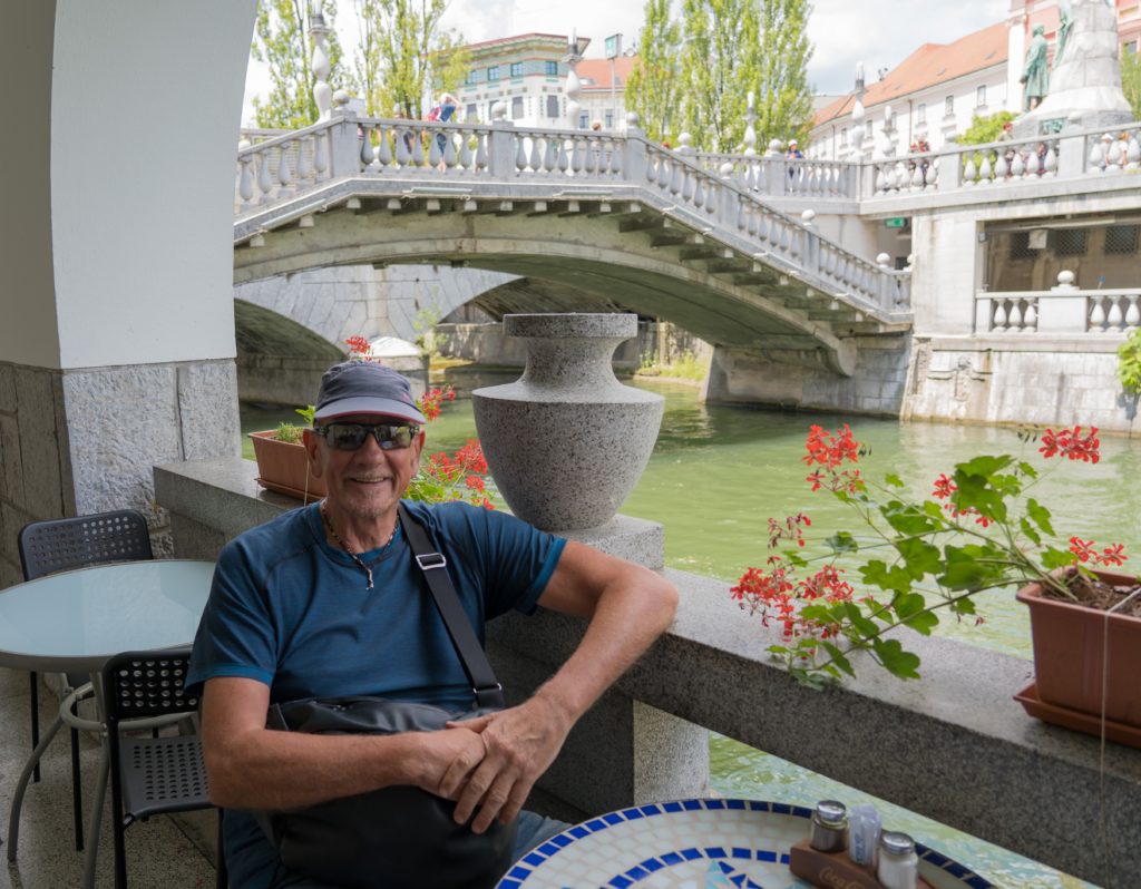
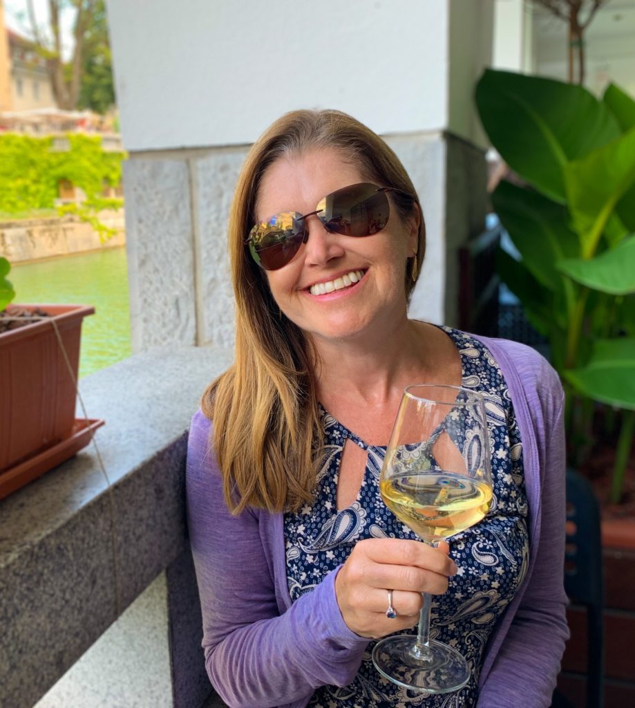
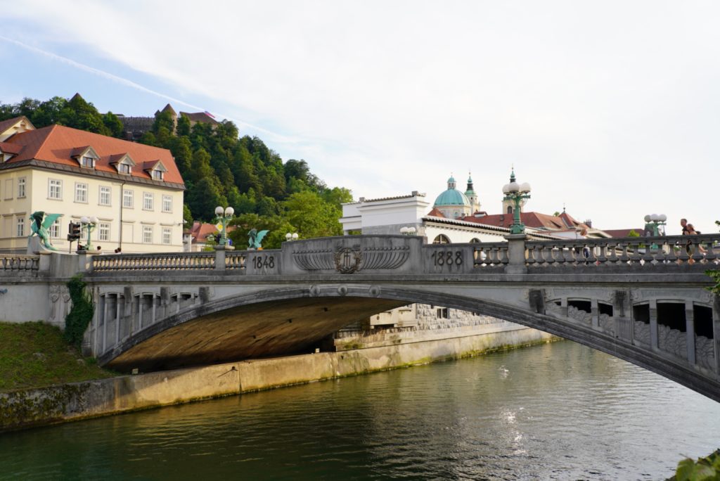
Water is a key feature in the city with the Ljubljanica River forking off and looping around, creating an islandOur seafood restaurant with a viewA tasty Chardonnay for Mrs A – we are rather appreciating Slovenian wine after the desert of Croatia
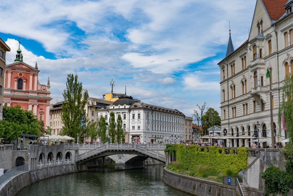
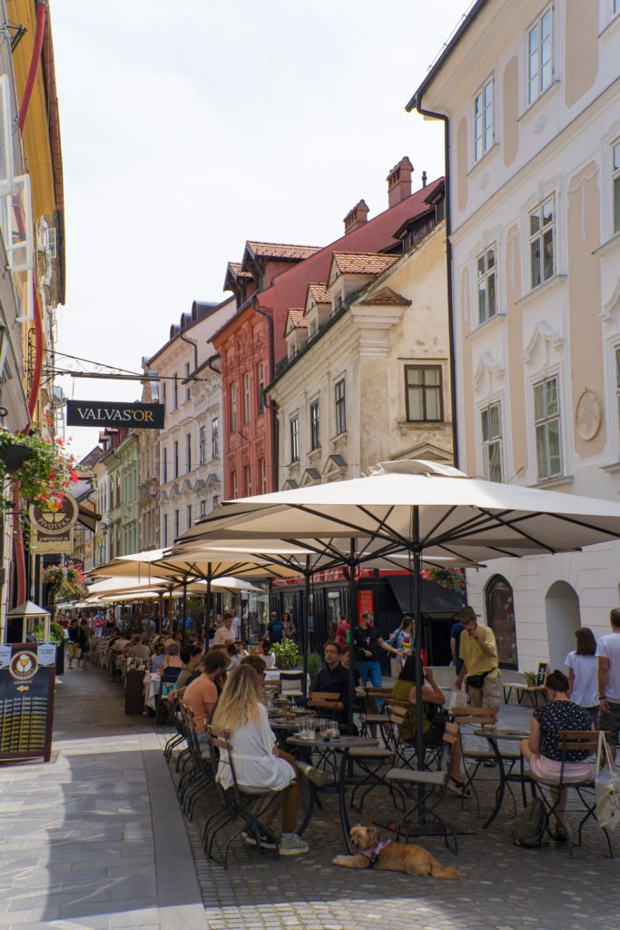
We had a lovely meal by the river at a fish cafe, then wandered around the lovely streets filled with interesting shops, cyclists and happy smiley folk! What a great vibe…a city we would call at first glance like this very liveable.
A colourful cityBustling with outdoor dining
In fact it’s the most likeable capital city we have seen so far on our travel based on our criteria – easy to get around by bike, waterways and green spaces everywhere, loads of food and wine choice, easy access to the mountains.
At just over 20,000 square kilometres, the country of Slovenia is a good deal smaller than Australia’s largest cattle station (Anna Creek in South Australia at 23,600km²), so its major tourist attractions are apparently heaving …we will find out tomorrow!
We capped off the day with a sunset cycleThe bridge of dragonsDragons do indeed live here…
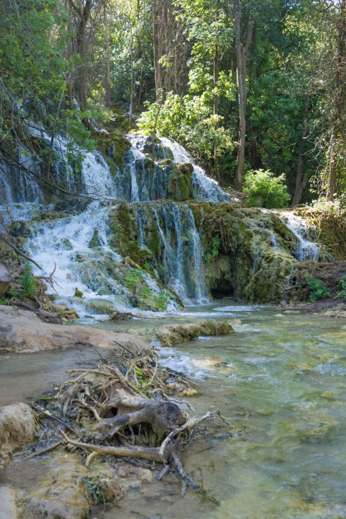
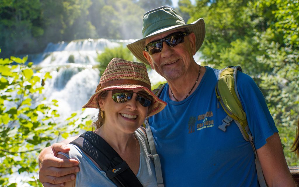
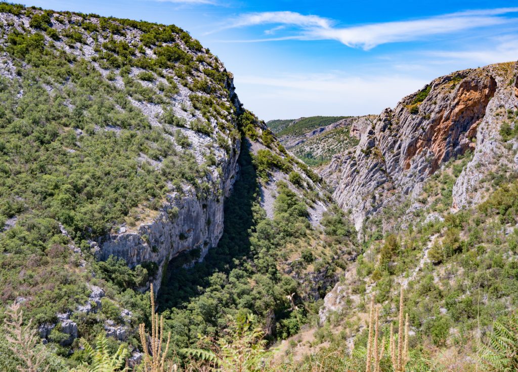
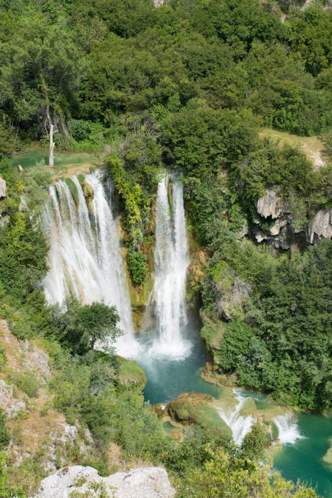
Sitting in New Zealand at Christmas we had read about this National Park that has 17 waterfalls cascading through its limestone country. Now we were here..and loving it. Yes it’s popular with 1 million people visiting last year, but there’s a reason it’s popular – it’s absolutely breathtakingly beautiful.
We had booked a tour from the camp site we stayed at, a 9-5 day visiting the highlights of the park by minibus. There’s no way we would have seen some of these place left to our own devices.
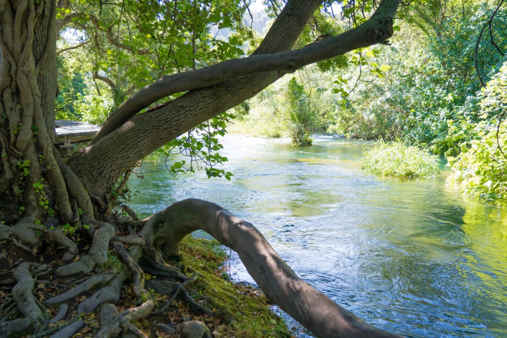
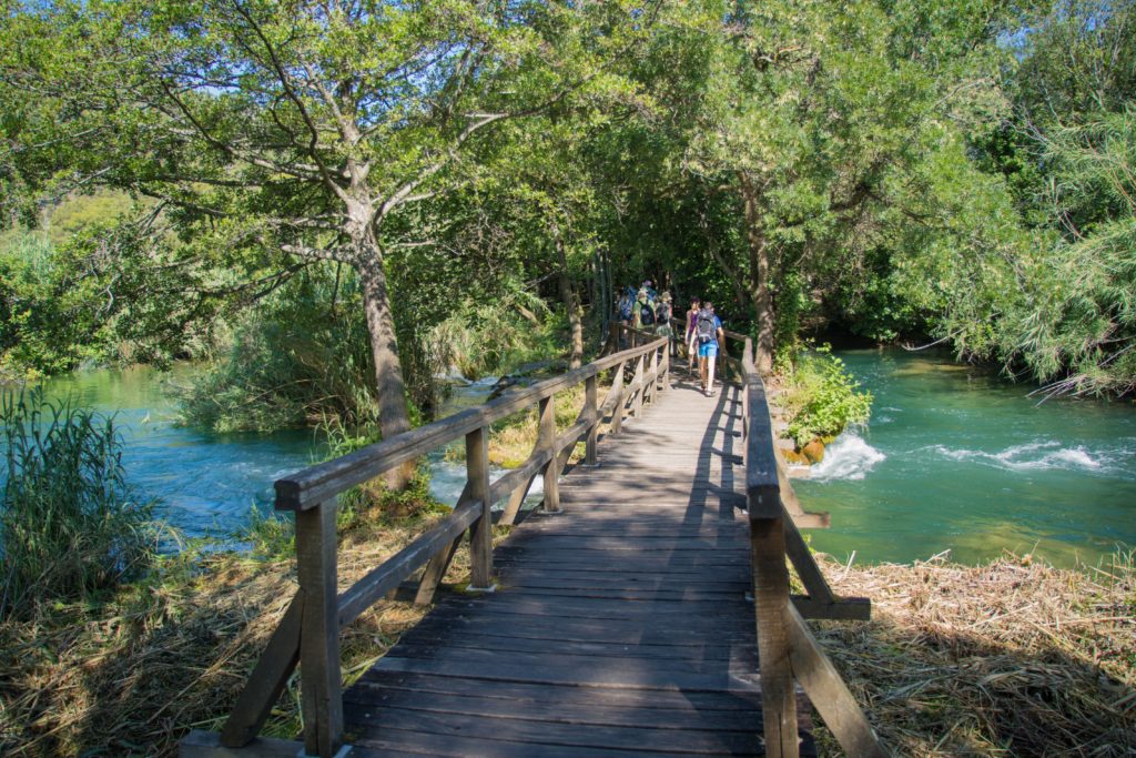
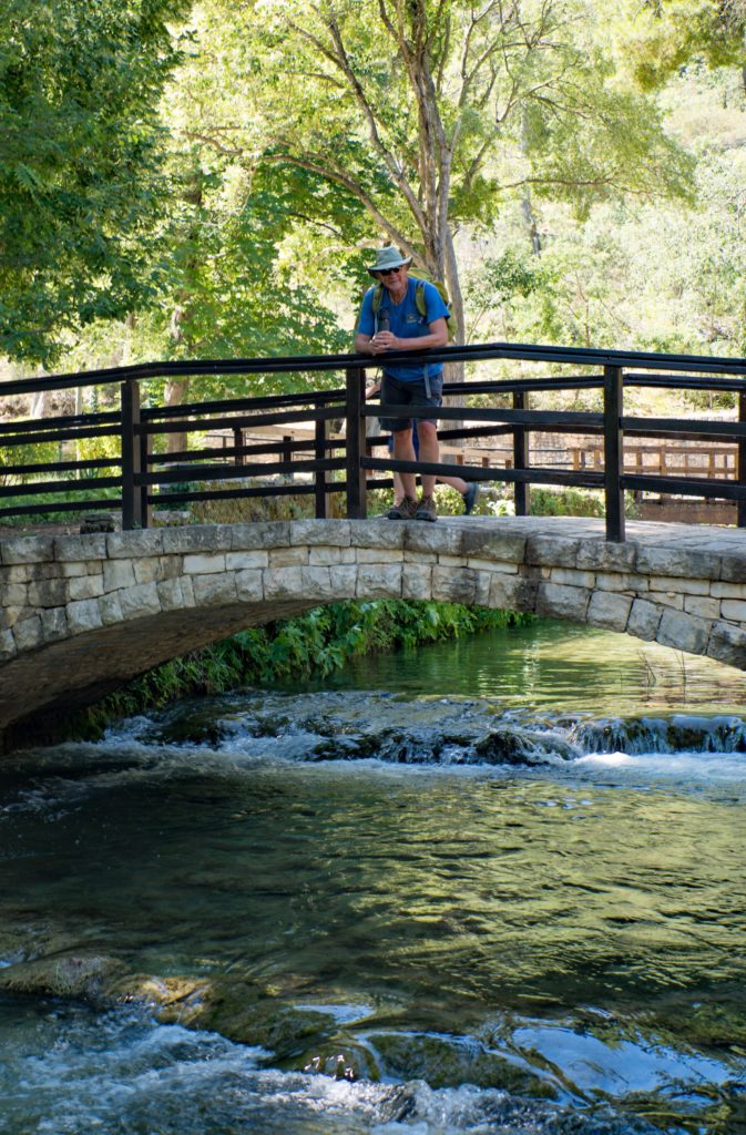
A two hour walk had us deep in the forest on boardwalks, with streams and small cascades flowing all around us.
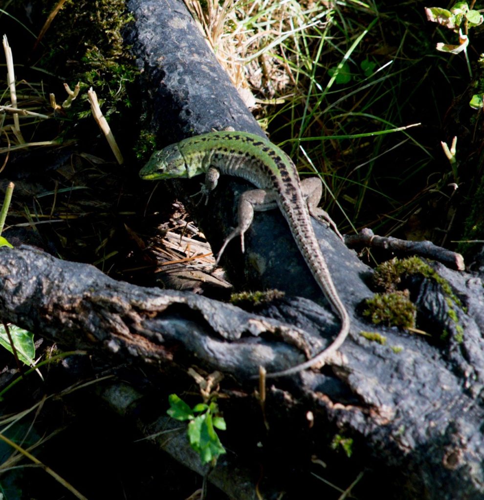
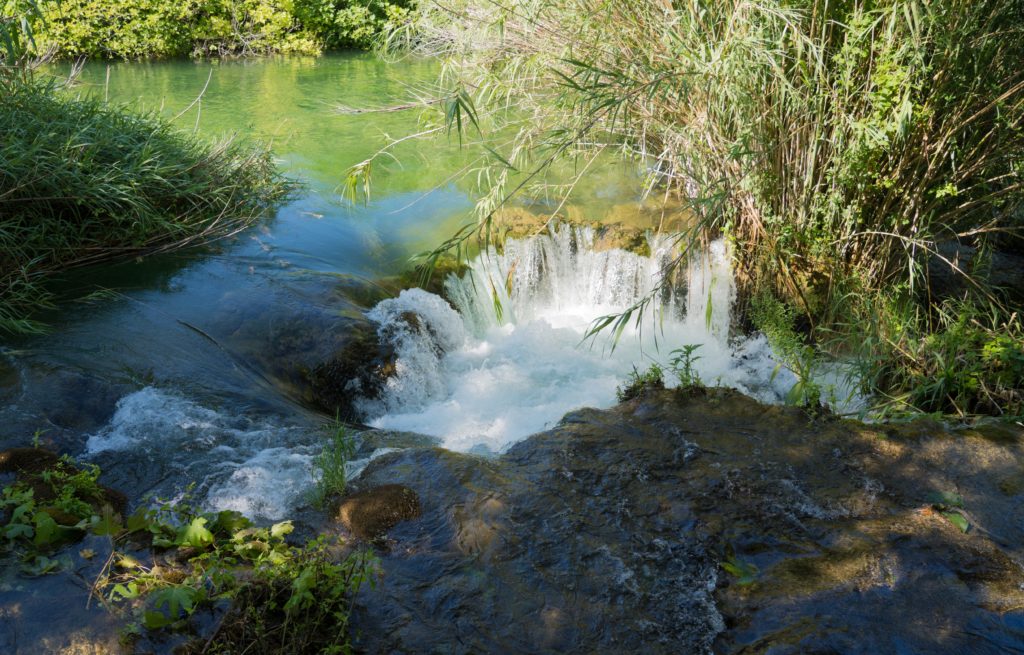
Water water everywhere, the boardwalk wound across lakes and streamsA Baltic Green Lizard poised ready to fight his opponent The boardwalk – busy already at 9.15amSmall cascades give us hints of the beauty aheadThe waterfalls increase in size….helped by a huge thunder storm last night, bringing the first rain here for 40 days
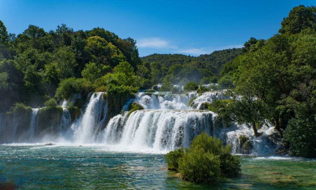
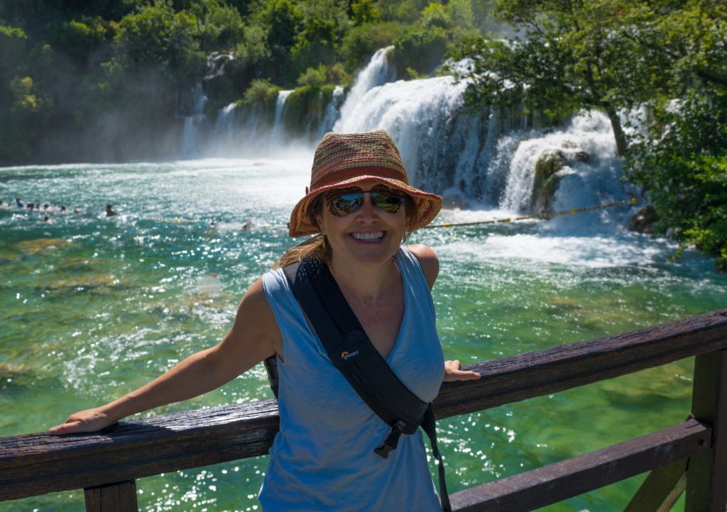
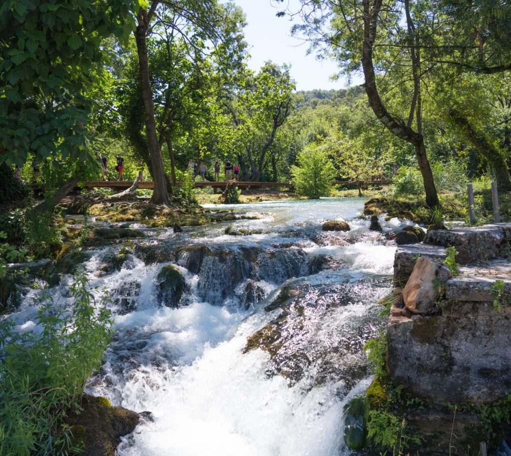
Then we came to the first major waterfall, which allowed swimming. Catherine was off as I guarded our bags. It did look quite spectacular.
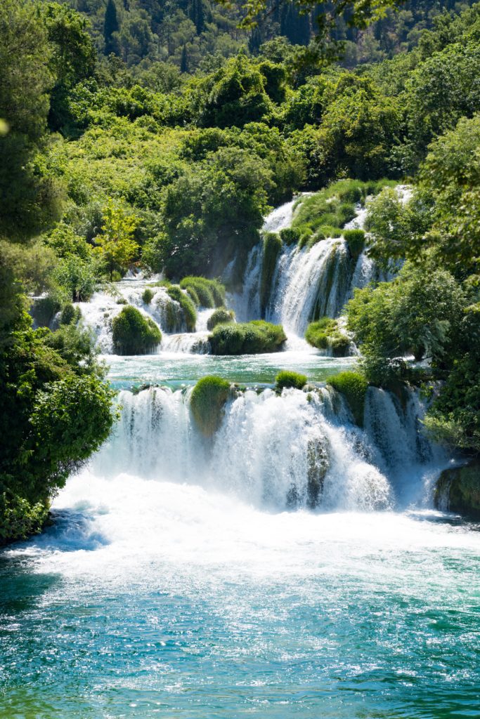
Skradinski Buk – the longest waterfall on the Krka River . Swimming is allowed hereMrs A feeling refreshed after her dipTravertine islands, barriers and lakes help create the falls which send a fine refreshing spray of mist for a hundred metresEnjoying the sprayRelishing the shade on the the way back to our bus – it was about 34 degrees centigradeCloth making and basket weaving was common here historically and here we see where the cloth was washed – right up until the 1970sThe power of the water here has been harnessed for electricity since the late 1800s – the first hydro electric plant in Croatia
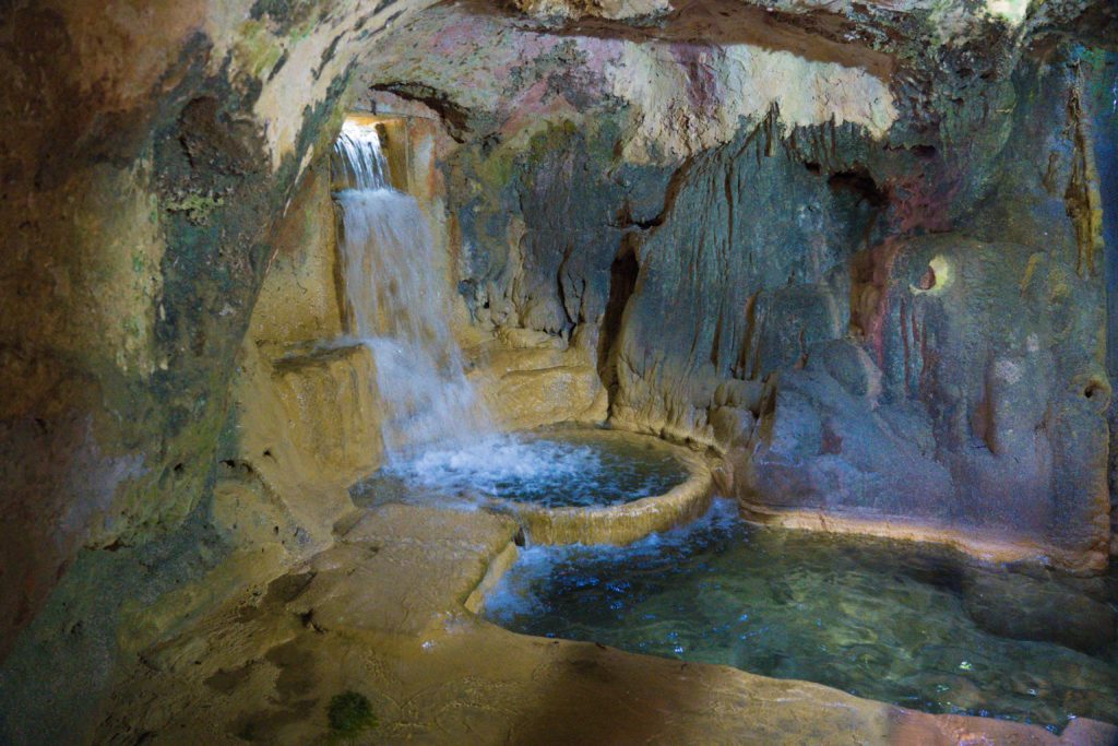
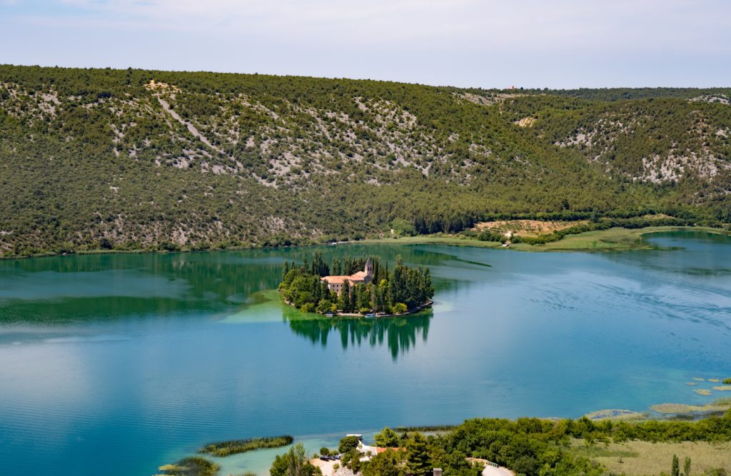
A Franciscan monastery sat resplendent on a tiny island in one of the lakes, Roman catacombs beneath another monastery…this park has the lot.
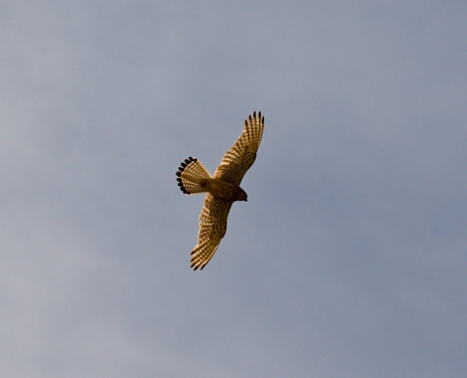
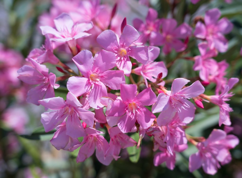
An Eurasian Kestrel soars above us searching for food in the valleyA dry, harsh country – much of the water deep undergroundThose monks certainly knew how to isolate themselvesBeautiful pink Oleander grows wild everywhere we go in Croatia
We had lunch in a little tucked away cafe alongside the ever present waterfalls. Simple but lovely food served with Croatian wine….yup still the same verdict…thumbs down in the vino.
Cold meats, cheese, bread, olives and sliced tomato – simple fare but tastyIf you wanted to cool down you could sit at one of the wet tables, with the water rushing past your bare toesKrka Monastery – built on top of Roman catacombs – mentioned in texts back as far as 1402. The fountain in the foreground is thick in dripping mossThe church painted in richly coloured frescos was renovated in the past decadeA refreshing breeze entices you to this windowImagine the monks here…More secret viewing spots visited along the wayBilusica Buk – at the furthest easterly part of the park, very remoteA Roman military camp and amphitheatre are to be found near here – Bisulica Buk
The park entrance fee was about AU$50 and the trip including the monastery tour and lunch the same. What great value! With a million visitors a year it was disappointing to see little evidence of that money being reinvested in the park, but that seems to be the story across Croatia with the tourist dollar. I wonder whose pocket it goes in?
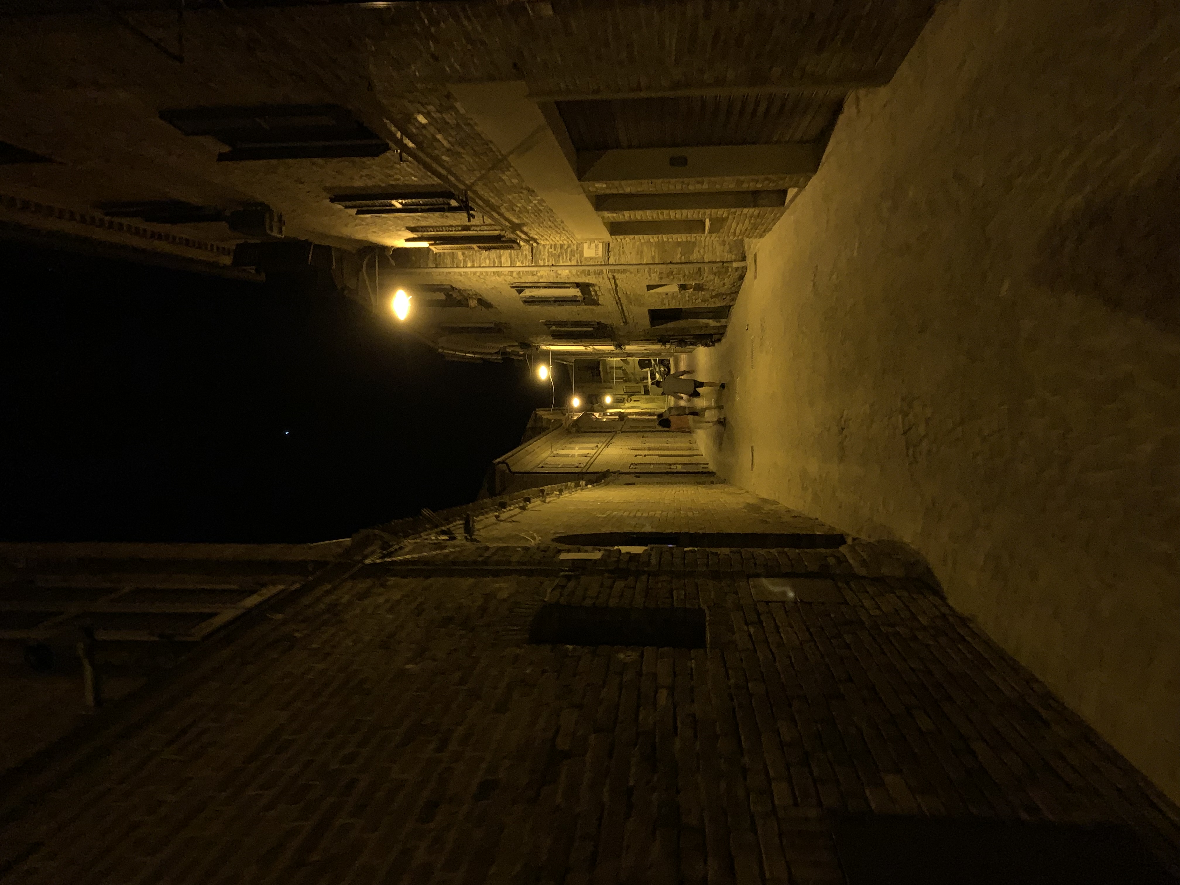
Saturday: It was a dusty start to the morning after a fun Friday night out with Mel and Barney in Loro Piceno, with delicious food followed by dancing to a live band on the cobbled streets.
Exploring the streets of Loro Piceno
May explain the sore head on Saturday morning…Varnelli – similar to ouzo…
Fabulous cover band at La Taverna, singing a wide variety of songs in English
Mel had booked a haircut for me in a local village, and with none of the staff speaking English I was pleased Google Translate worked well enough for me to get the cut I wanted and not end up with a shaved head!
Our friends from the UK arrived early afternoon, successfully finding the house and enjoying a light lunch as we all caught up on news.
In the evening Mel and Barney had booked us a table at a local restaurant, Casa Azzurra. It is set around a pretty courtyard, with delicious food and wine.
Pink Prosecco to commence the evening
Enjoying our aperitif
Casa Azzurra
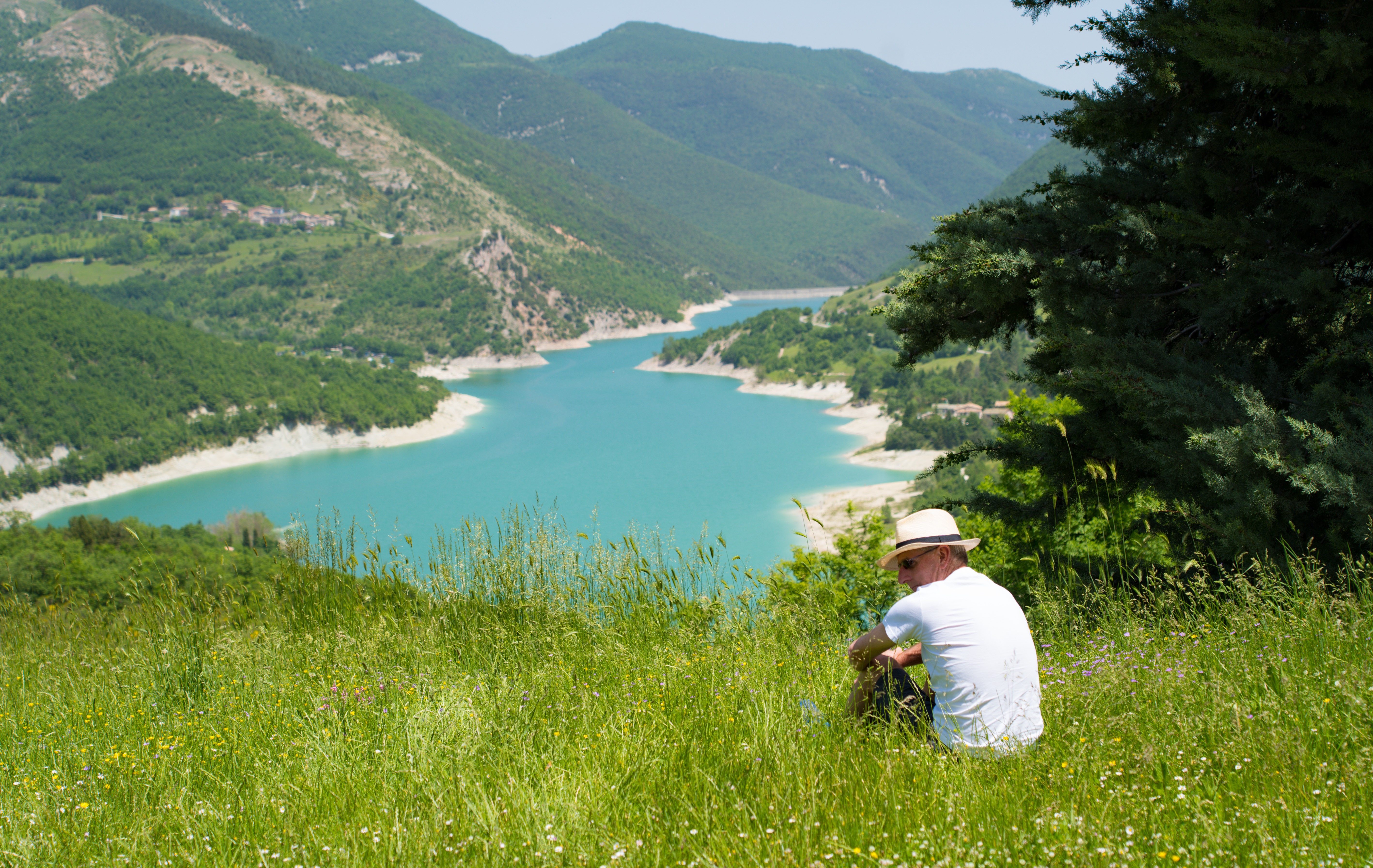
Sunday: The eight of us piled in to two cars and headed up to Mount Sibillini National Park, a hour’s drive away. It was a warm day, around 35 degrees in the valley, but as we climbed we were relieved as the temperature dropped to the late 20s.
Our first stop was at Lago di Fiastra (Lake Fiastra), the main reservoir for the region. The turquoise waters look quite striking, surrounded by mountains and beaches. There were quite a few people swimming in the water and picnicking on the shore.
John enjoying the view in a field of wildflowers
Karen, Mel and Stuart enjoying the view
Many of the buildings in this area are still damaged from the two major earthquakes in 2016. On the winding road up the mountains there was extensive evidence of work done to shore up the cliffs and prevent rockfalls and landslides, and many buildings remained abandoned, shored up by steel cables and wooden braces.
Church and buildings unsuitable for occupation post earthquake
We continued a short way up the mountains to Rifugio di Tribbio, a lovely rustic restaurant Mel and Barney had found. What a gem! There’s no way you would stumble across this as a casual visitor without the local knowledge. There we feasted on three generous courses and two litres of wine for the grand cost of about €160 between the eight of us (AU$33/£18 a head). We sat outside on a bench table with great views across the mountains.
Views of the nearby ruins of Magalotti castle
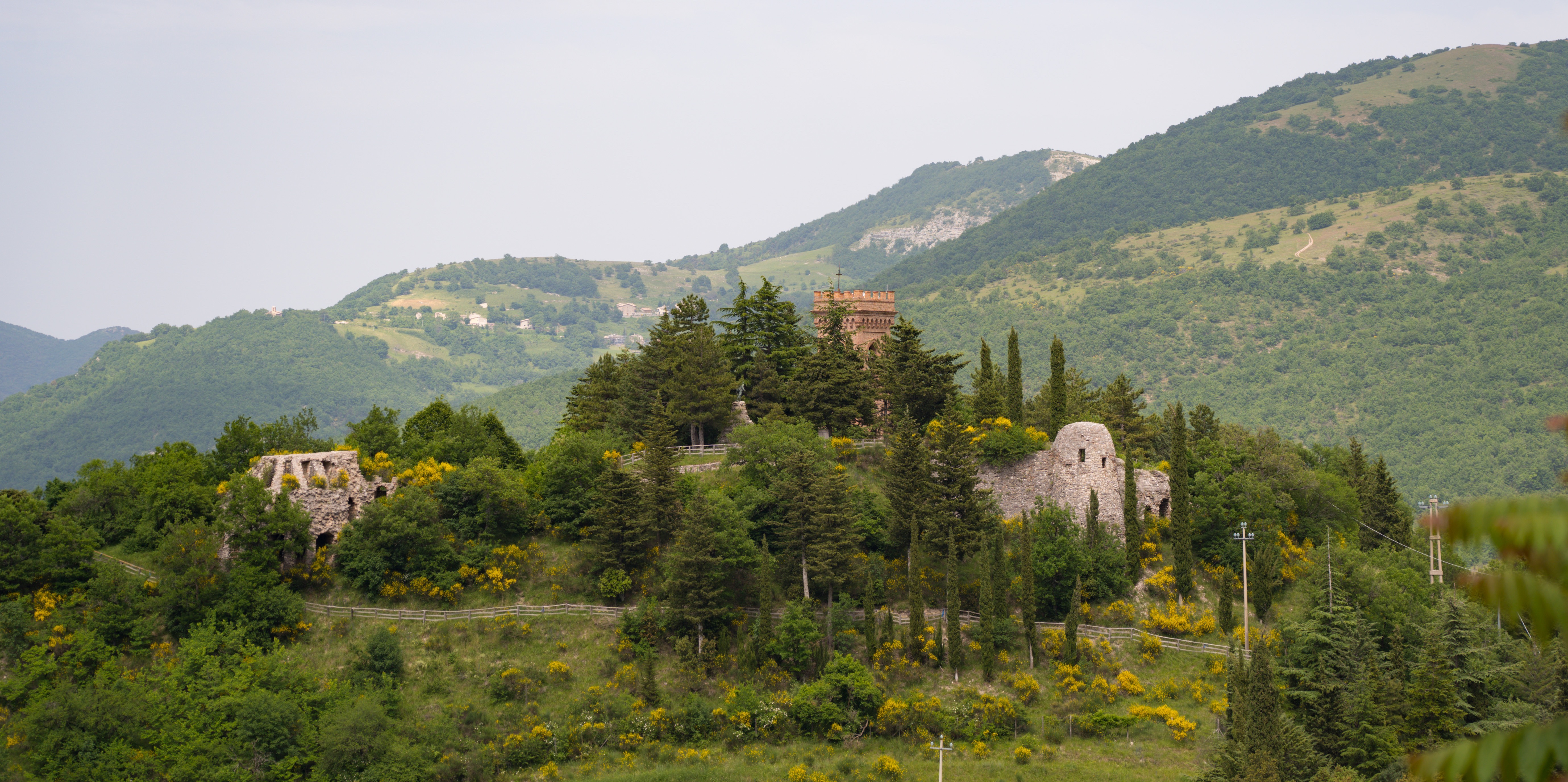
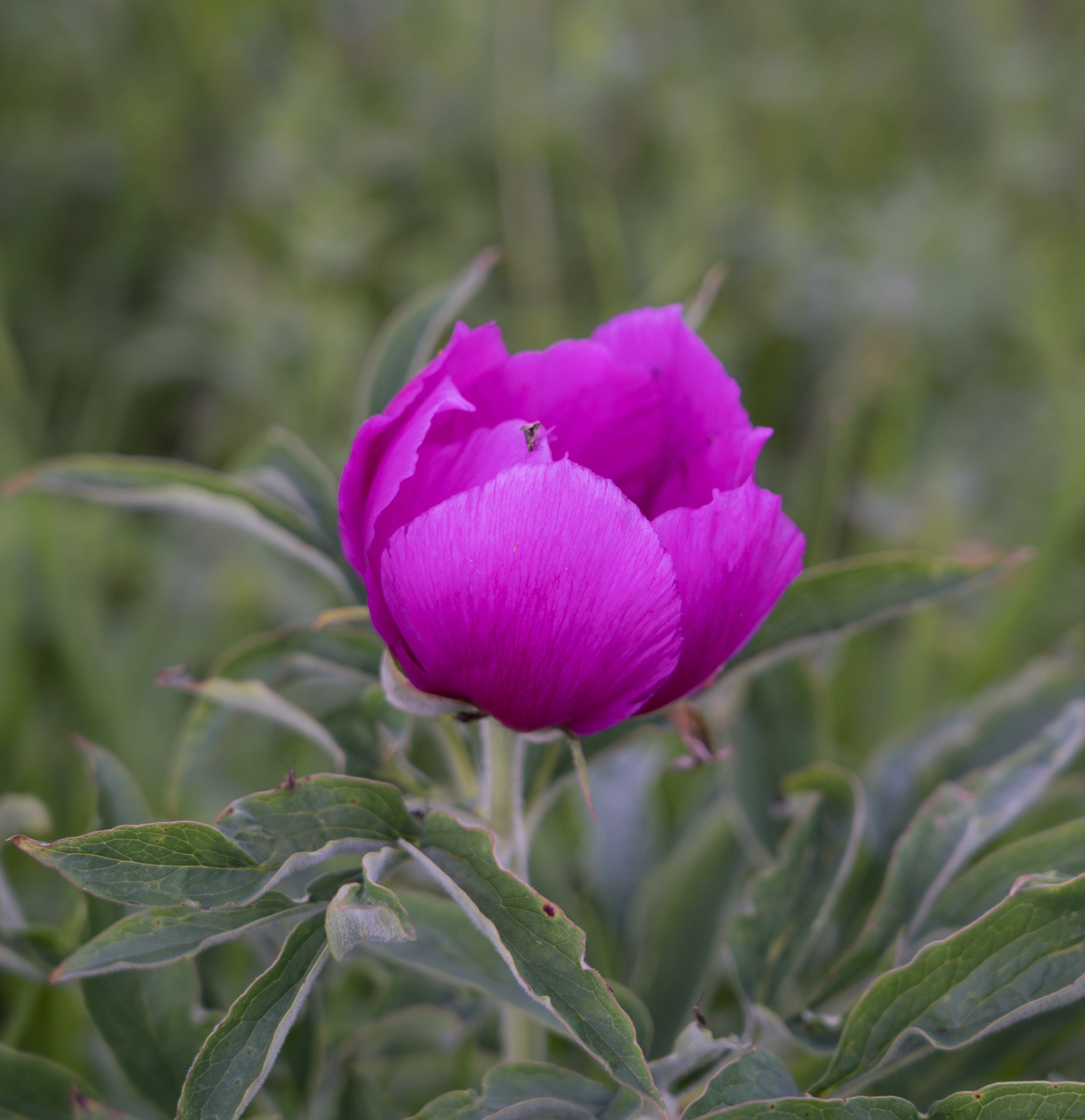
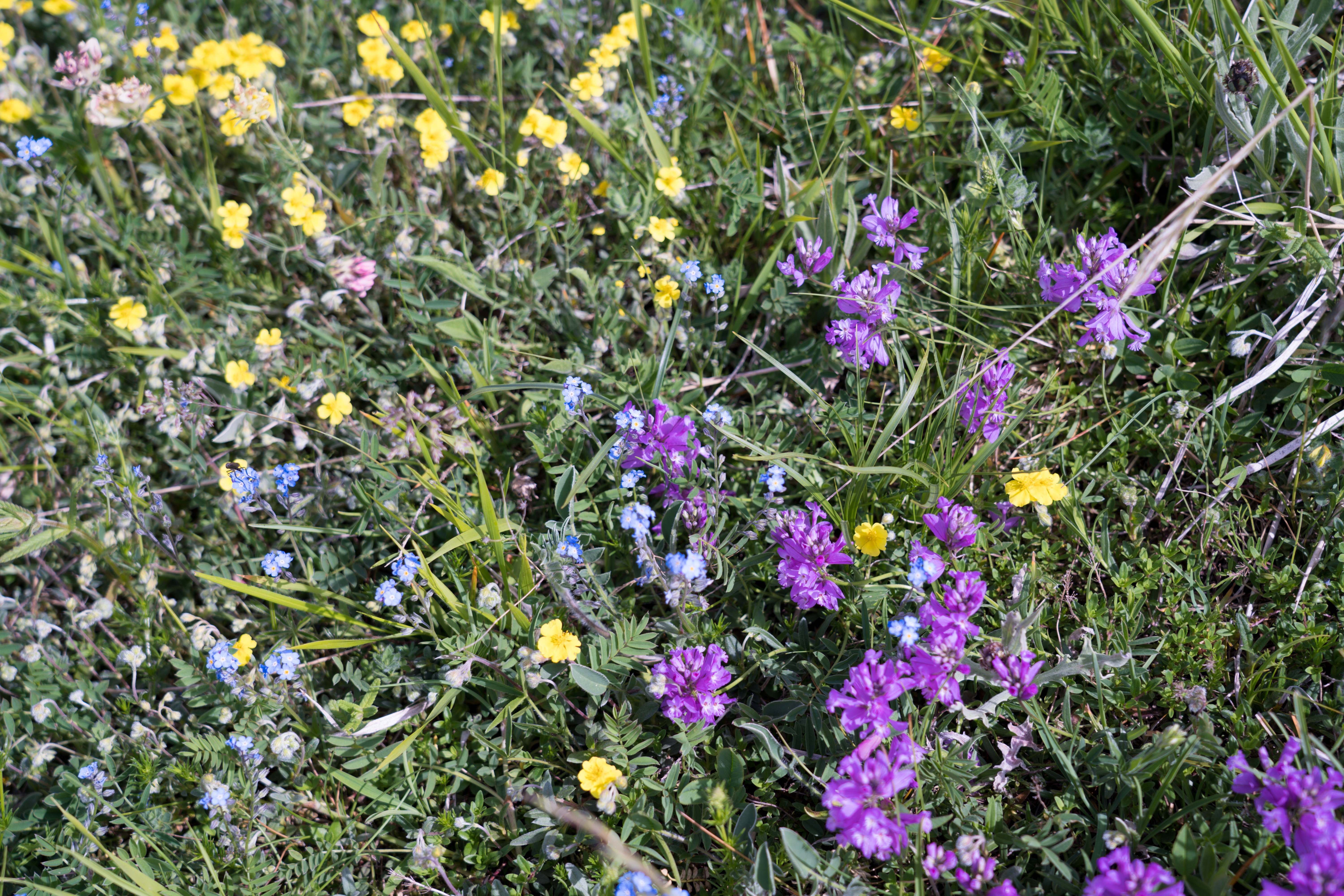
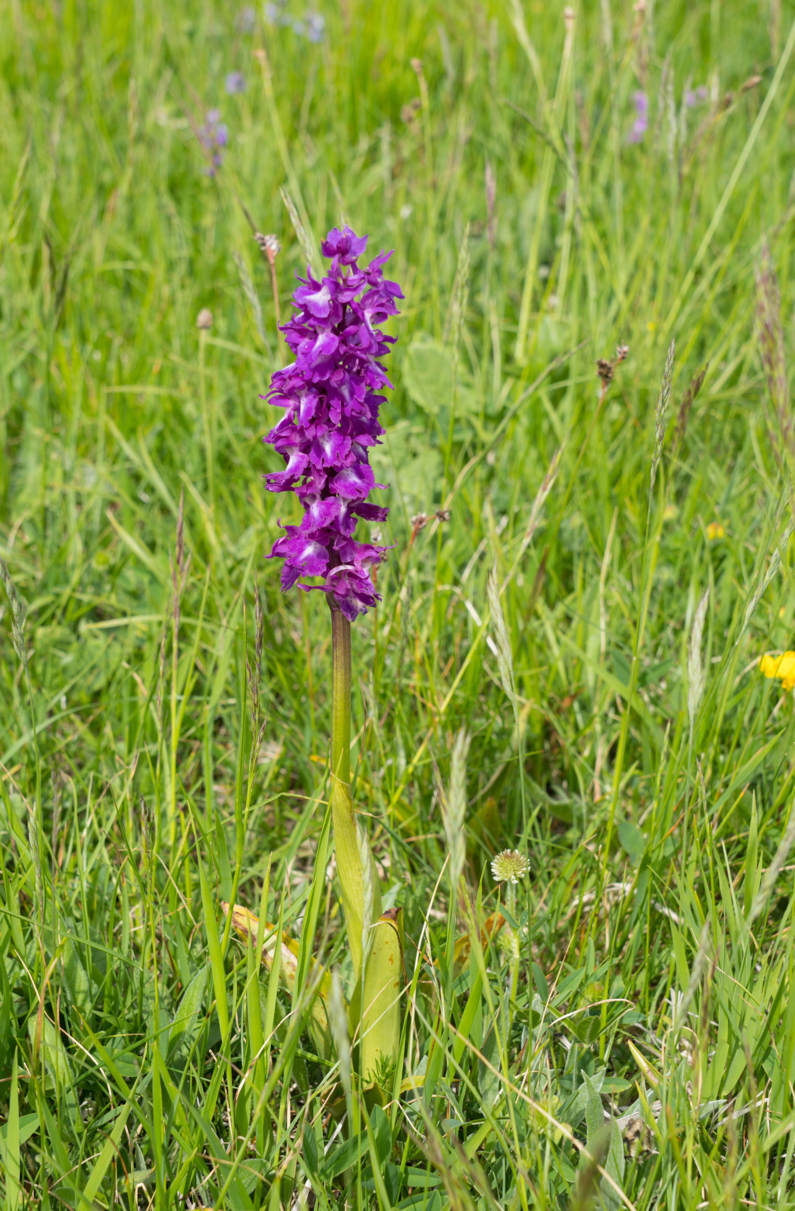
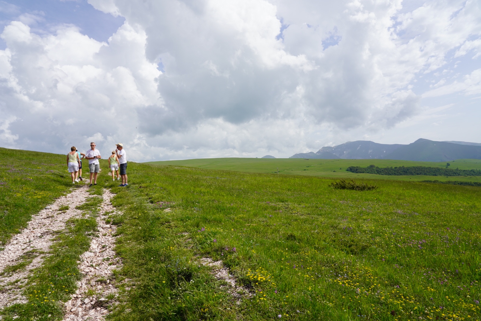
After lunch we wound our way up the mountains even further, found a shady parking spot and headed off for a walk. It’s a glorious time of year in the mountains, with wildflowers in every corner.
Wild peonies (Paeonia officinalis) growing on a limestone slope
Every square metre is covered in flowers – pinks, mauves, purples, yellows…so pretty
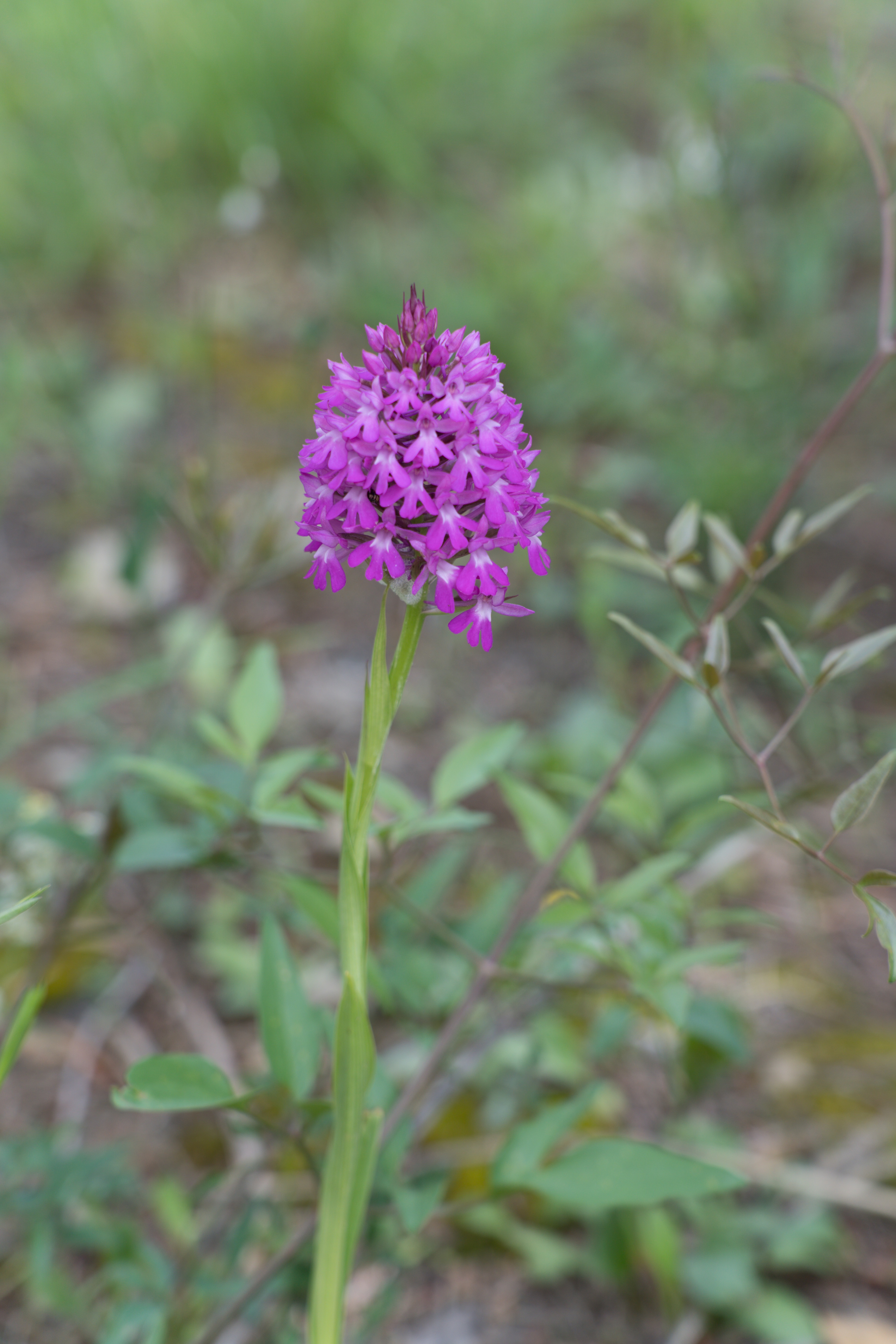
Lovely orchids
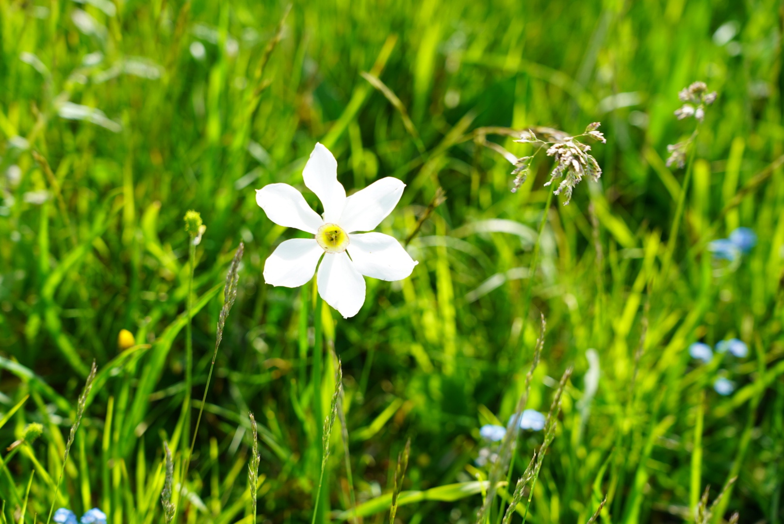
Wild Narcissus (Narcissus poeticus)
We did a lovely circuit walk – steep on the way up and blissfully downhill on the return loop, helping us burn a few lunchtime calories and enjoy the clean mountain air.
Wondering whether the last glass of wine was wise!
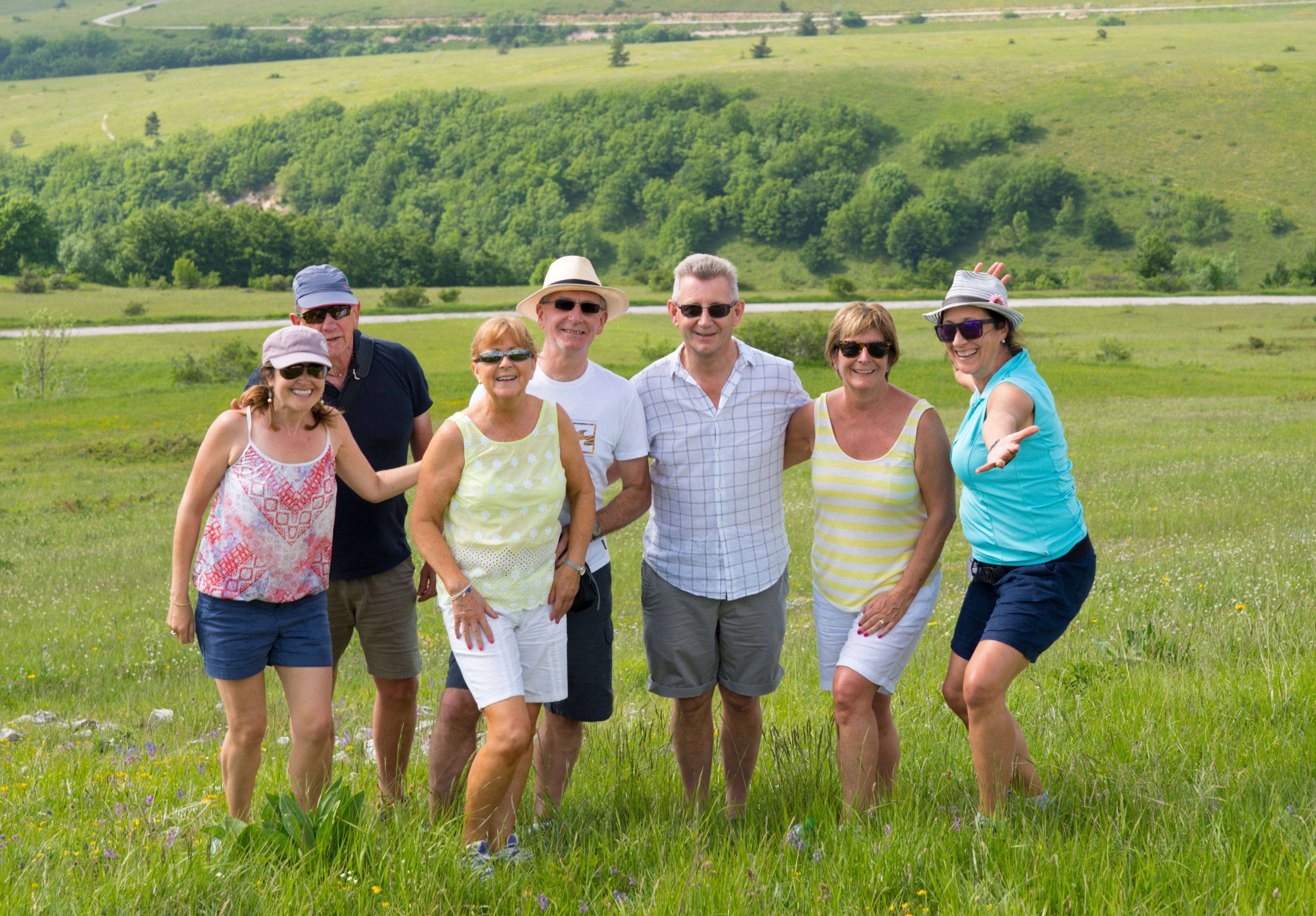
The walkers – minus Barney – L-R Mrs A, Mr A, Catriona, John, Stuart, Karen and Mel
Looking back at the lowlands which look rather hilly when you’re down there!
We drove back down the mountains and into Loro Piceno for an evening cocktail at La Cantina, a bar with a terrace boasting amazing views over the valley and out towards Mel and Barney’s house. We then headed home for an early night in preparation for celebrating Catriona’s big birthday tomorrow, the reason for this gathering of friends.
Enjoying the views and drinks
Catriona tries out a swing chair
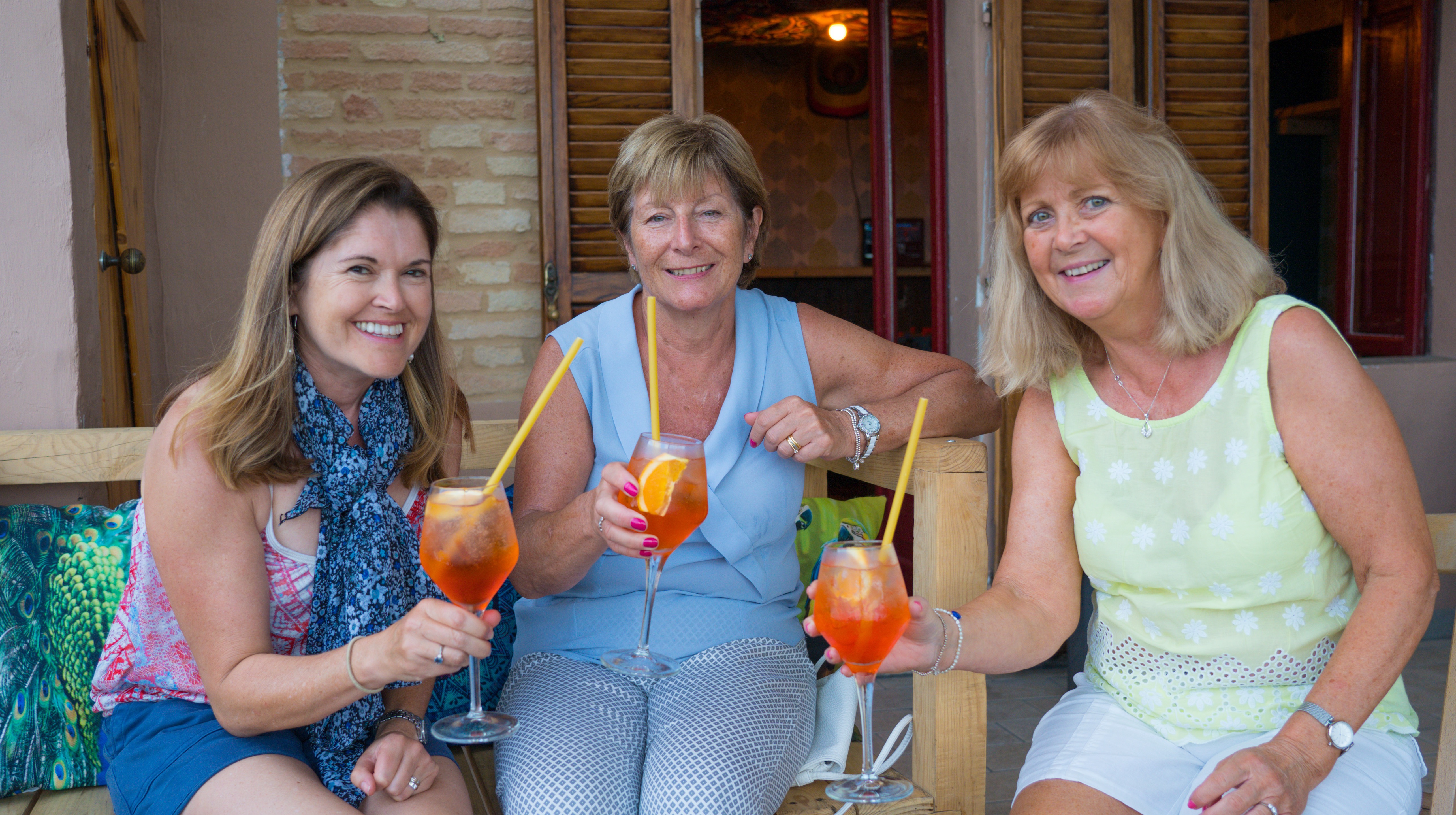
Karen and Catriona try out their first Aperol Spritz
Wednesday: We have friends of friends who have kindly invited us and some of our friends (with it so far?) to stay with them in eastern Italy in the region of Le Marche (pronounced lay markay). To be honest, until they gave us their address we had no idea where that was, or even pronounce it. Well now we do and what a find it has been.
Le Marche doesn’t roll off the tourist tongue like Tuscany, and the thankfully the coaches aren’t rolling down the streets just yet in this region…. We arrived via the excellent west to east route along SS77. A dual carriageway with tunnel after tunnel bored through the mountains that run in a chain down this part of central Italy.
We were making for a campsite our friends had suggested in the grounds of an old abbey and country park near to their village. We had given ourselves a couple of days to explore the area and get things prepared for the onslaught before everyone else arrived.
We arrived to find a beautifully near deserted camping area, with only a couple of other vans there. We picked our spot and had just set up the chairs…as a motorhome drove right next to us completely blocking our view. I gave him my best evil eye and exaggerated “what the ….” shrug…he moved off when Catherine joined in! She’s a terror…
Time for lunch
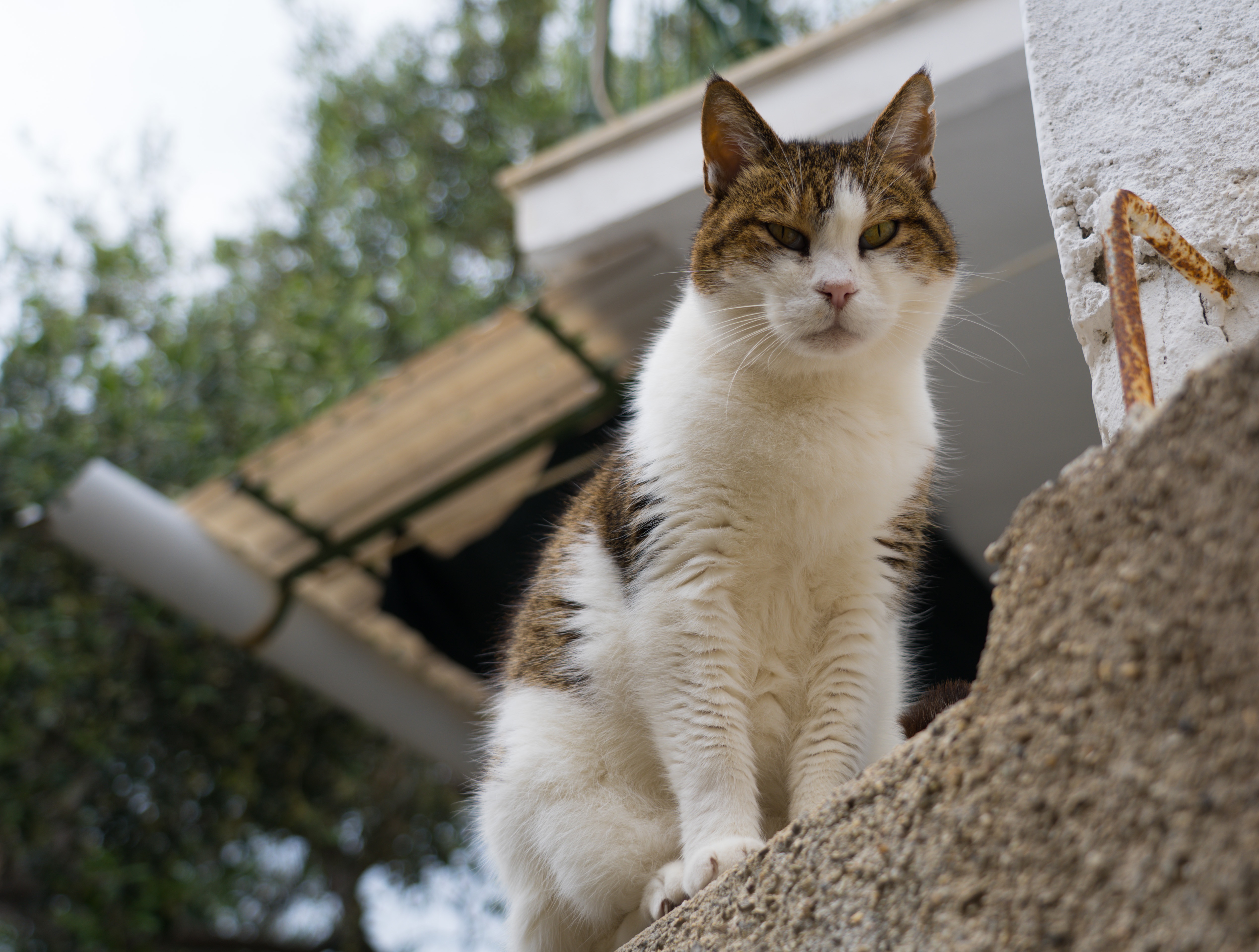
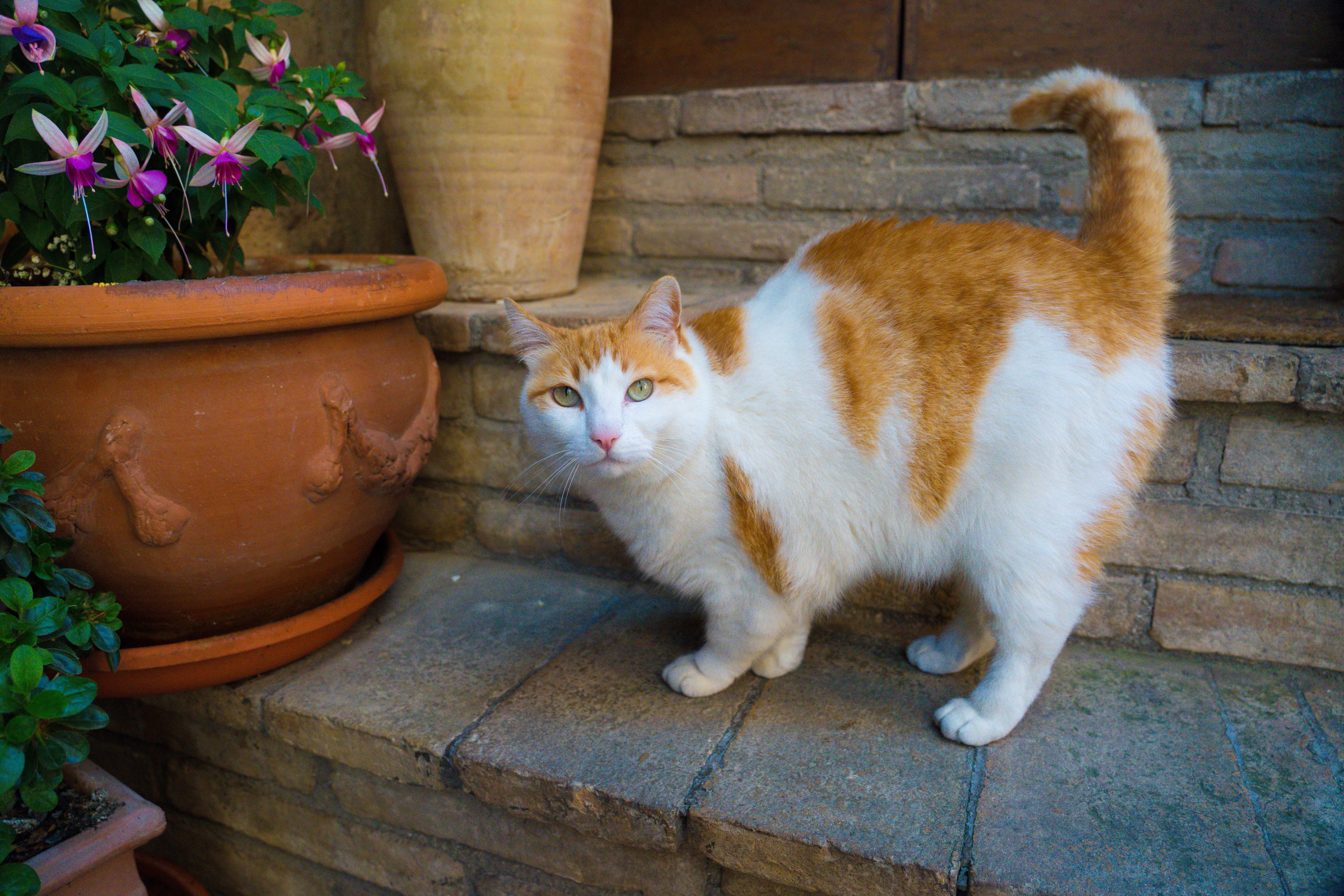
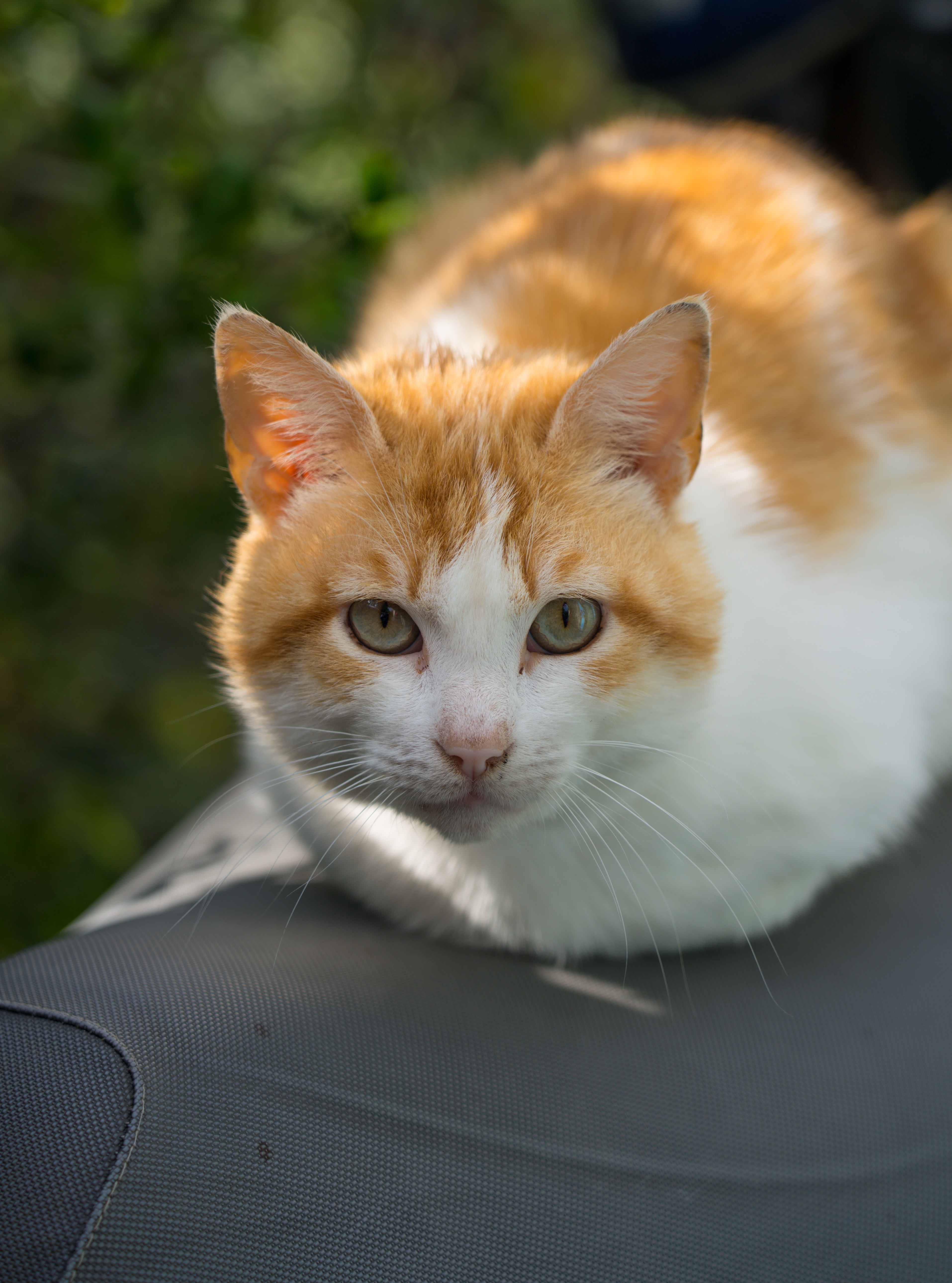
So with view restored we were soon visited by a young cat who was clearly Italian given his chattiness and general exuberance! He was to become our constant companion over the next two days..,well until someone else pulled up he thought might feed him…
There goes our last tin of tuna…
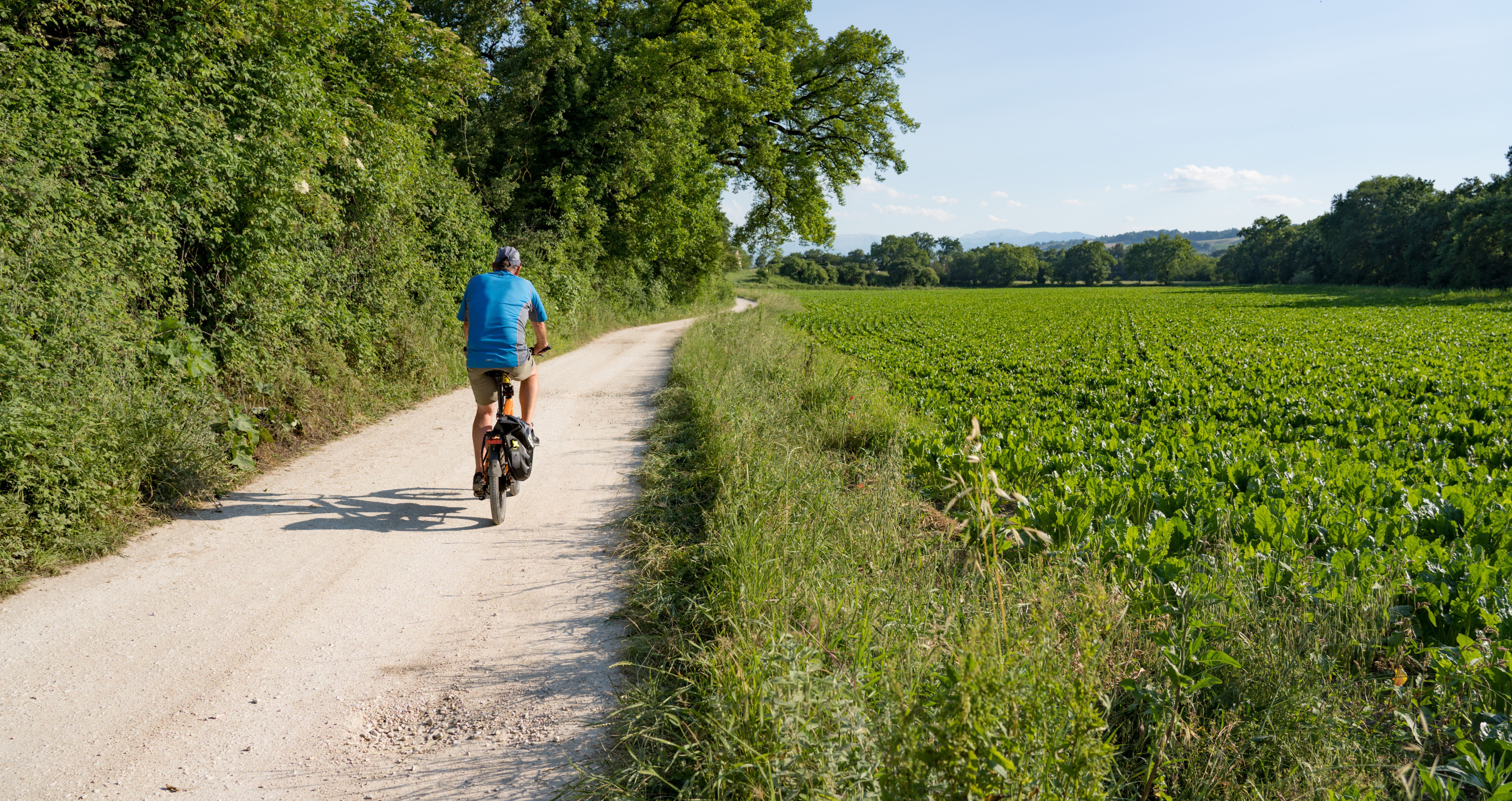
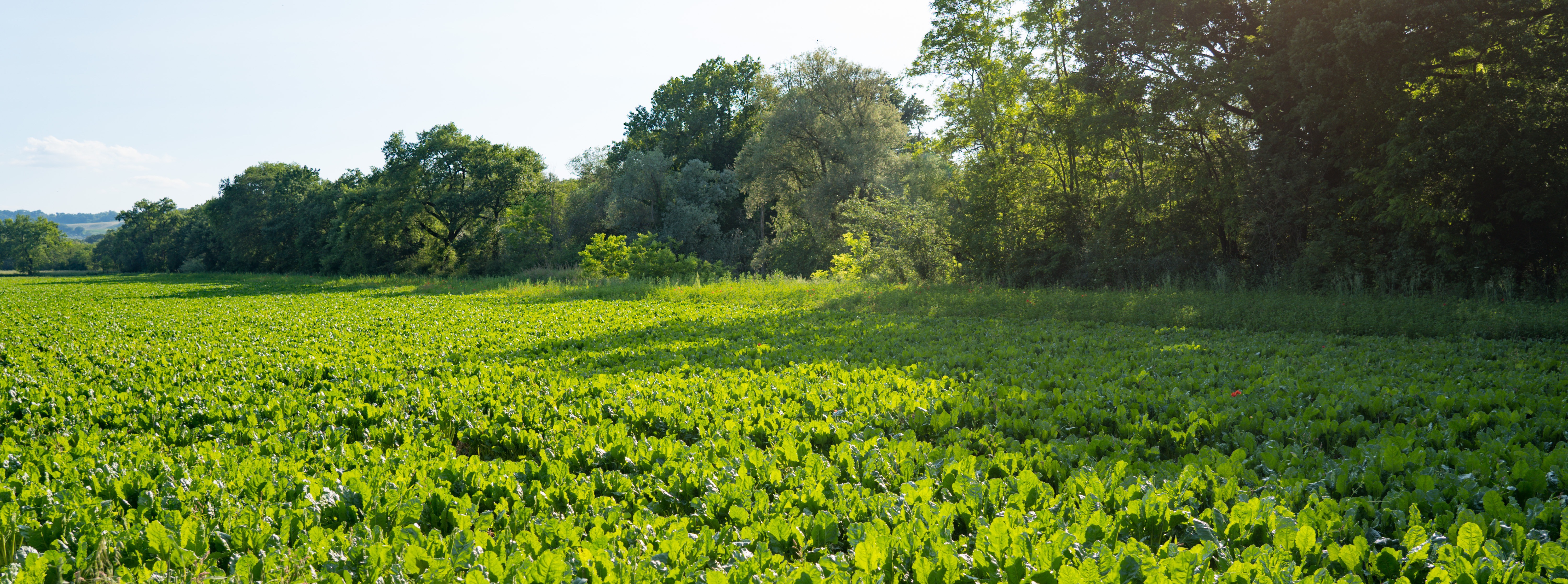
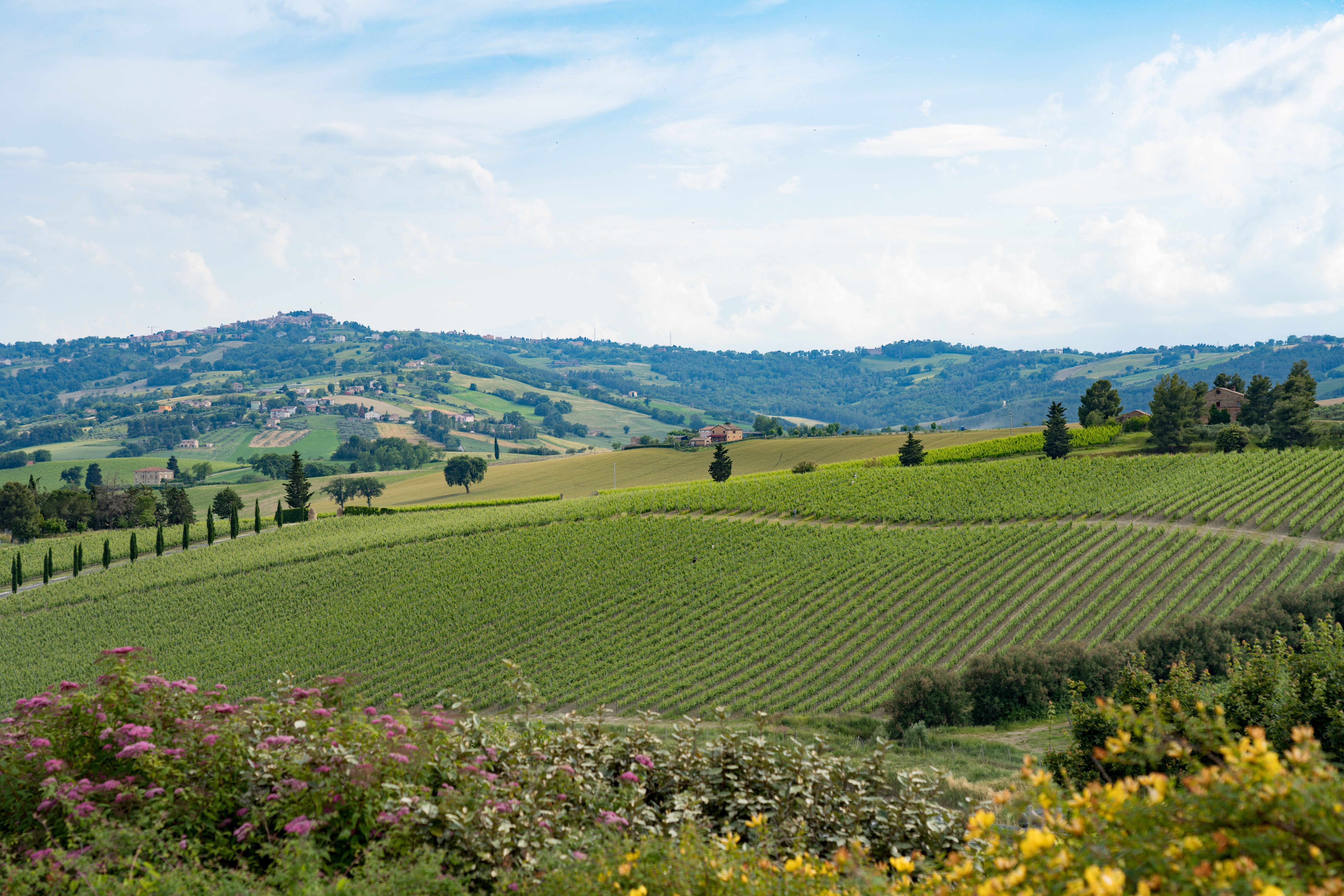
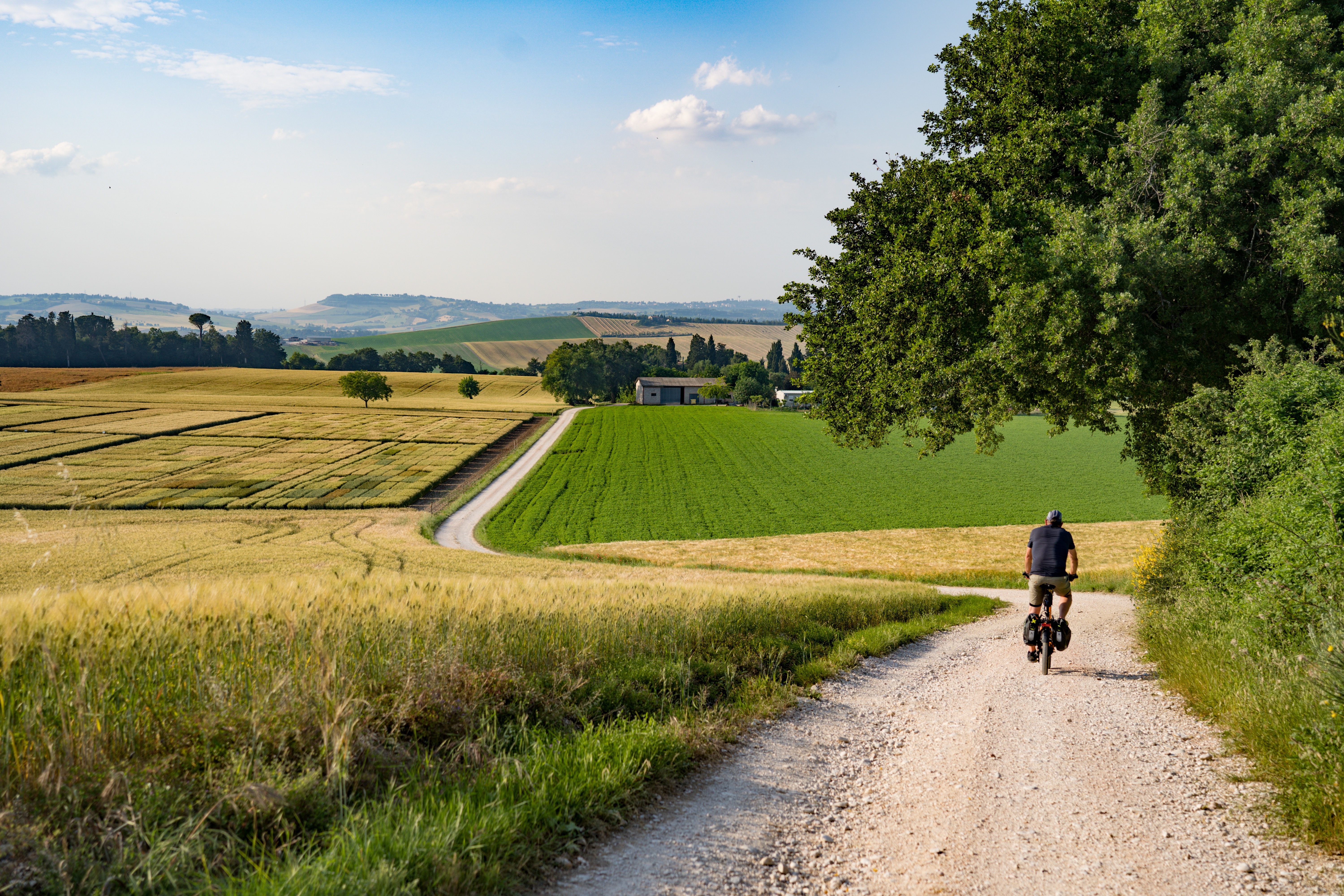
It was time for our customary exploration on two wheels. What a ride we had, as we came round corner after corner with a new vista of perfectly green fields opening up…and the odd snow capped mountain! This was cycling heaven.
Fields of spinach
We made our way through the park, exploring Roman ruins, admiring the bird life, and smelling the wild flowers.
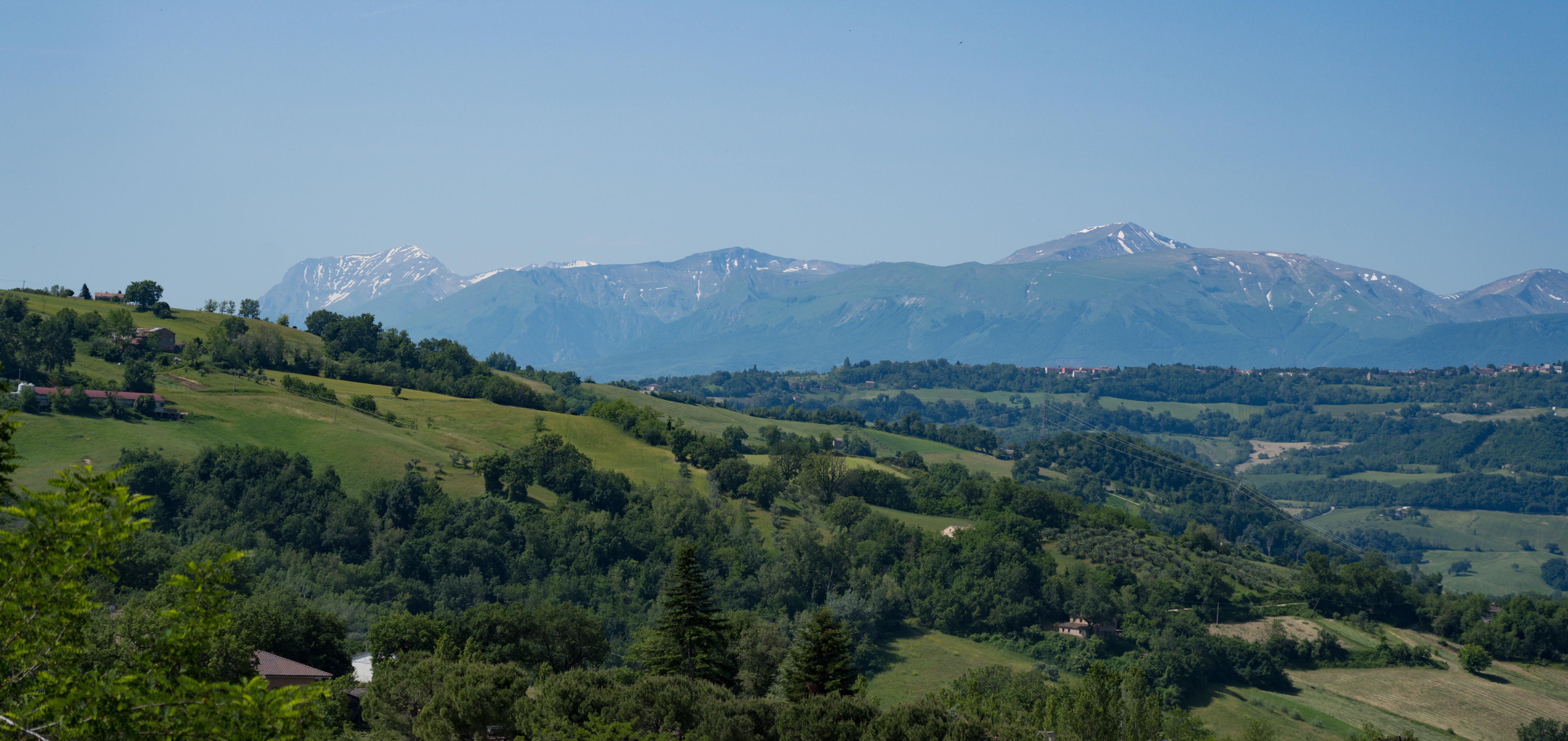
Thursday: The next day we went further afield through several of the nearby villages. And not a tour bus in sight…
Yes, still snow up there
More fields of poppies looking towards more hilltop villages…
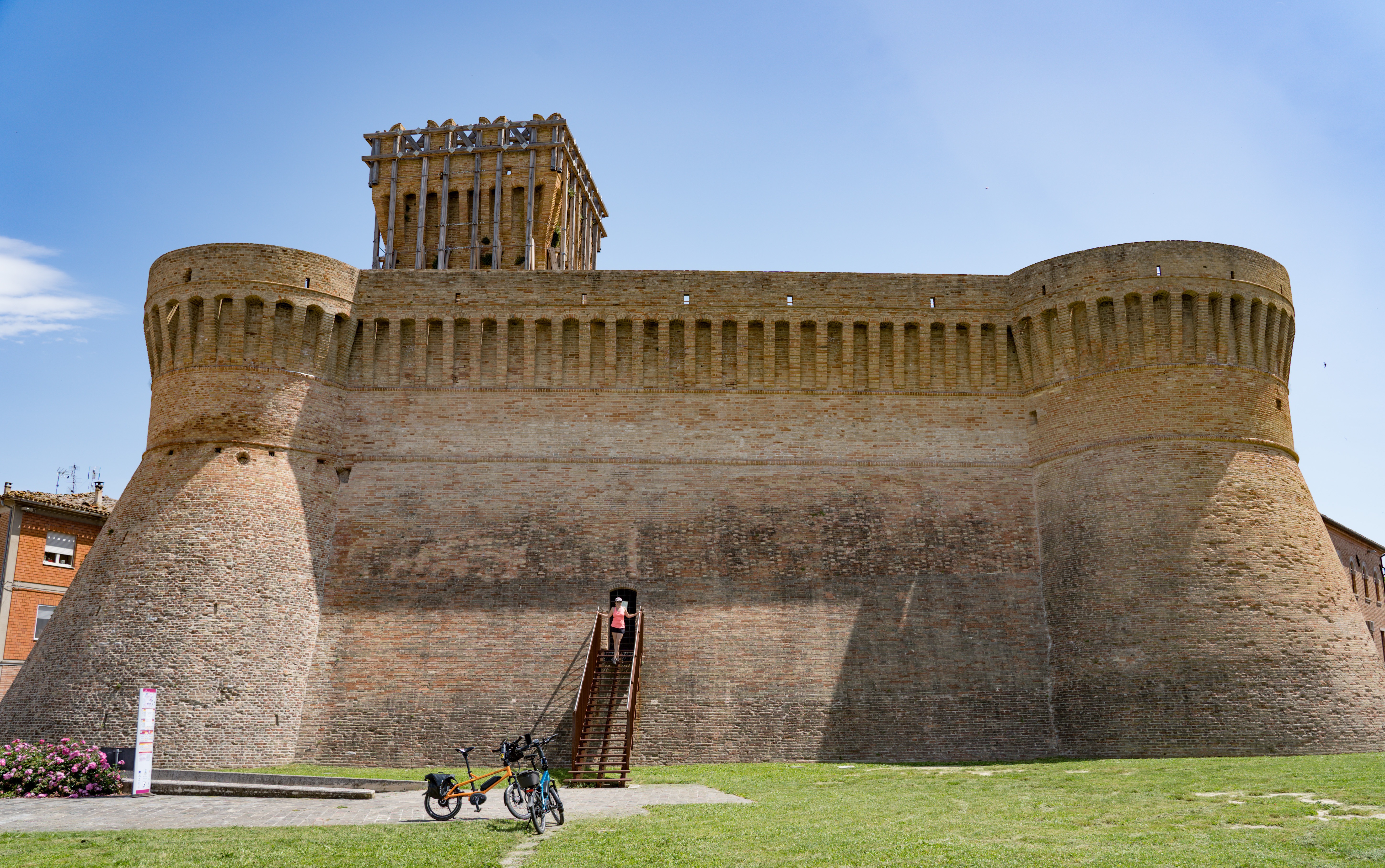
The castle in Colmurano
A couple of happy cyclists
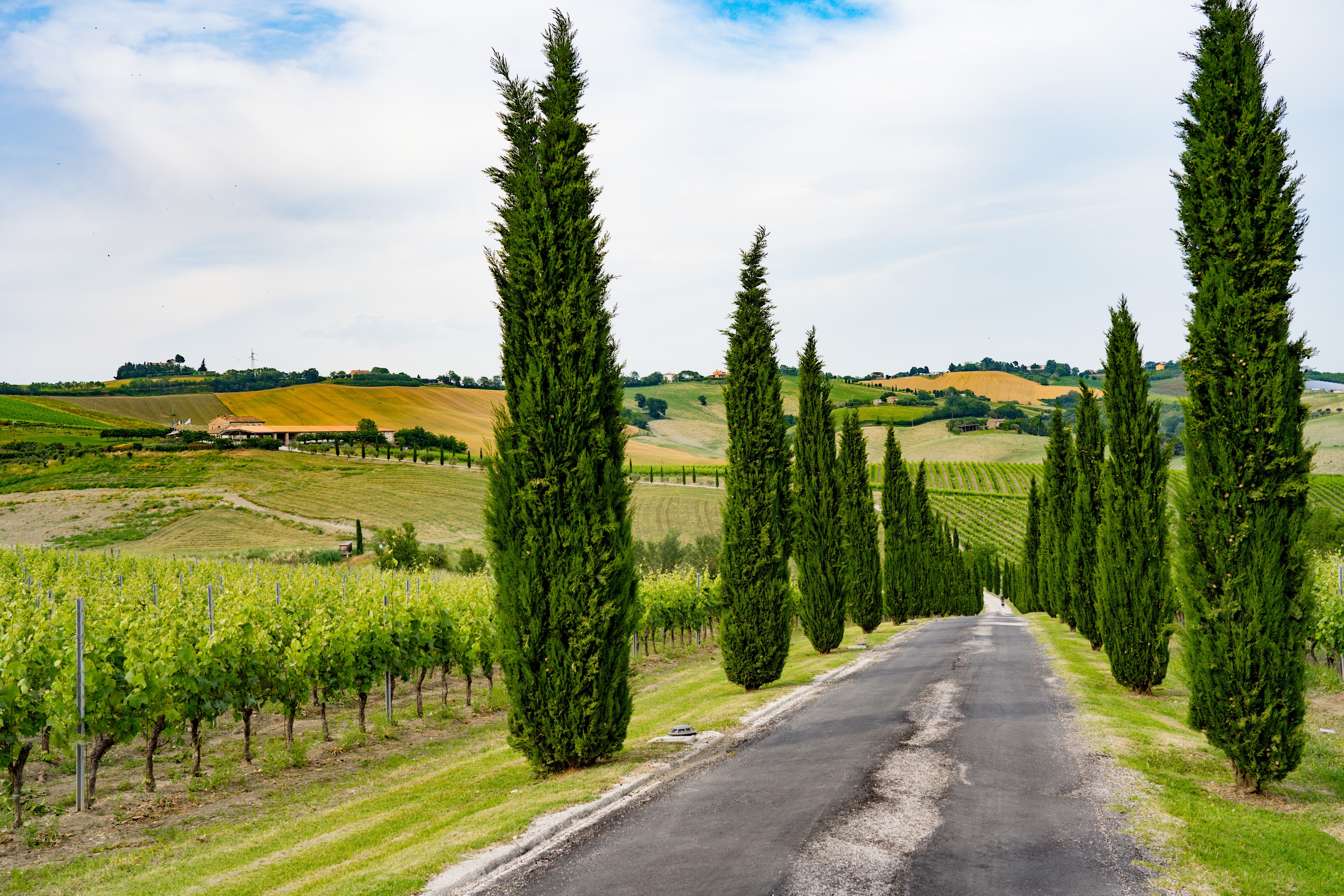
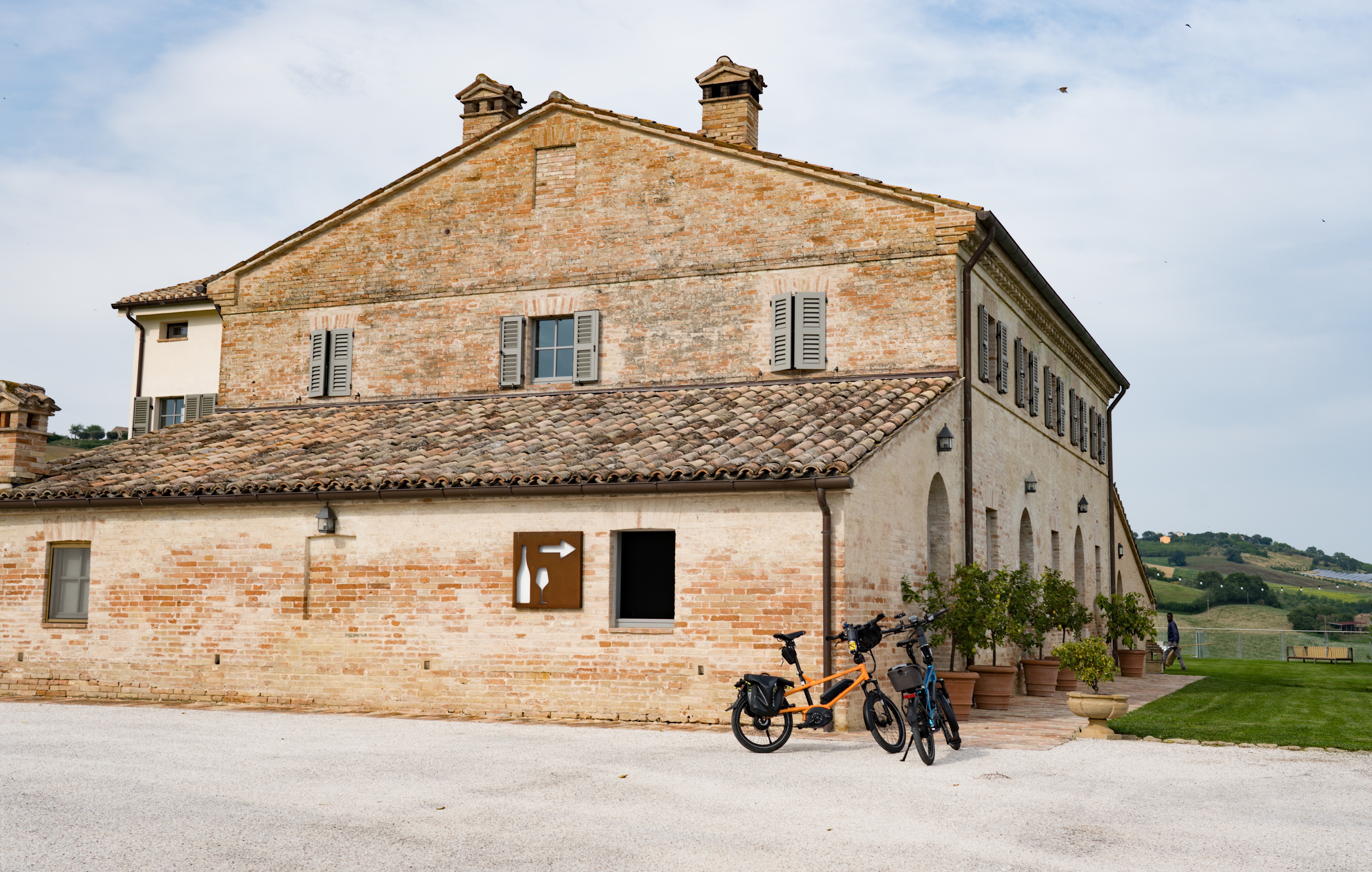
in the late afternoon we headed out again, I had spotted a winery within striking distance of the bikes.
Now that’s a decent driveway!
The terrace tasting area with fabulous views
Murola tasting room
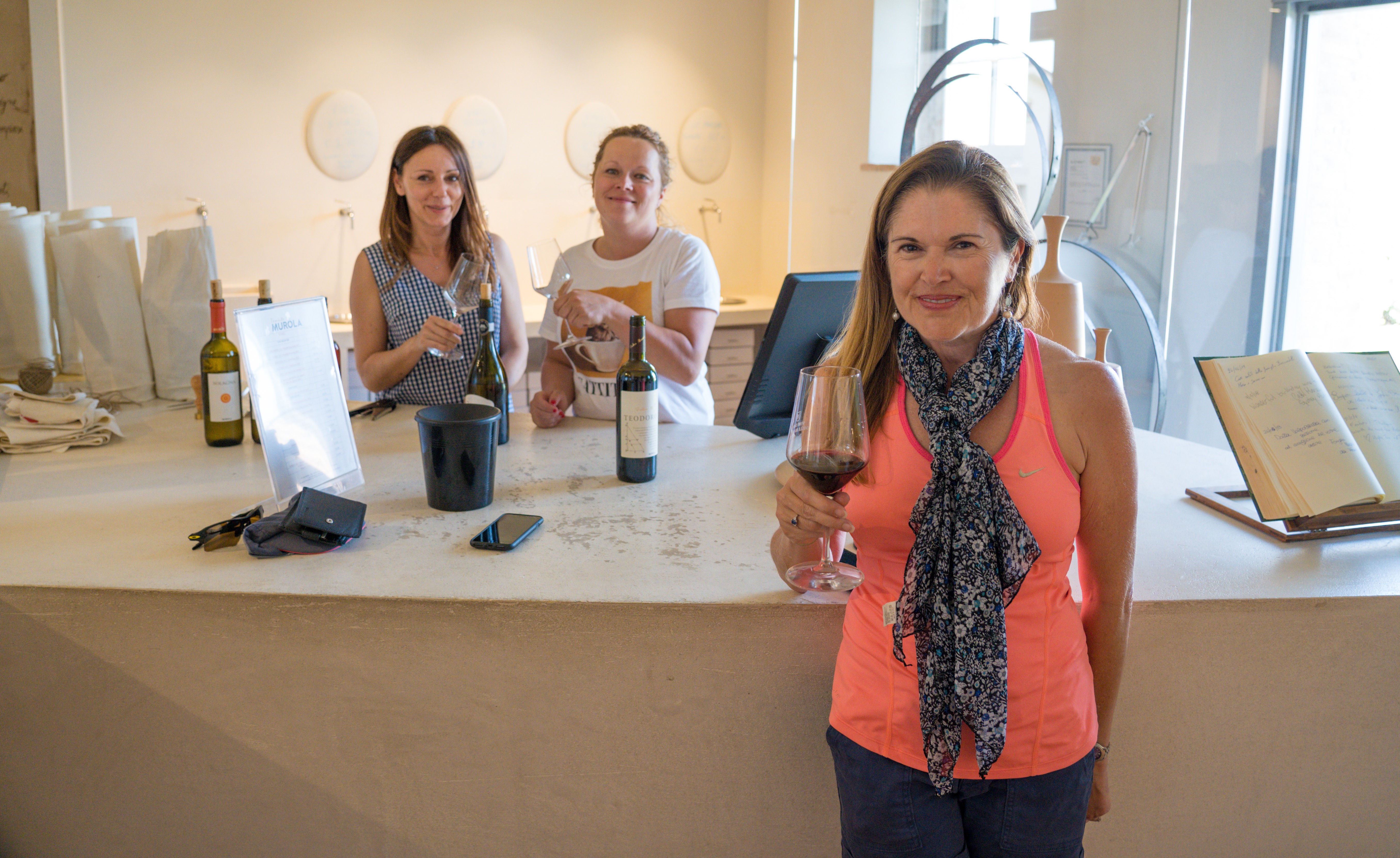
Enjoying a few drops of red…yes we invested in a case and a half
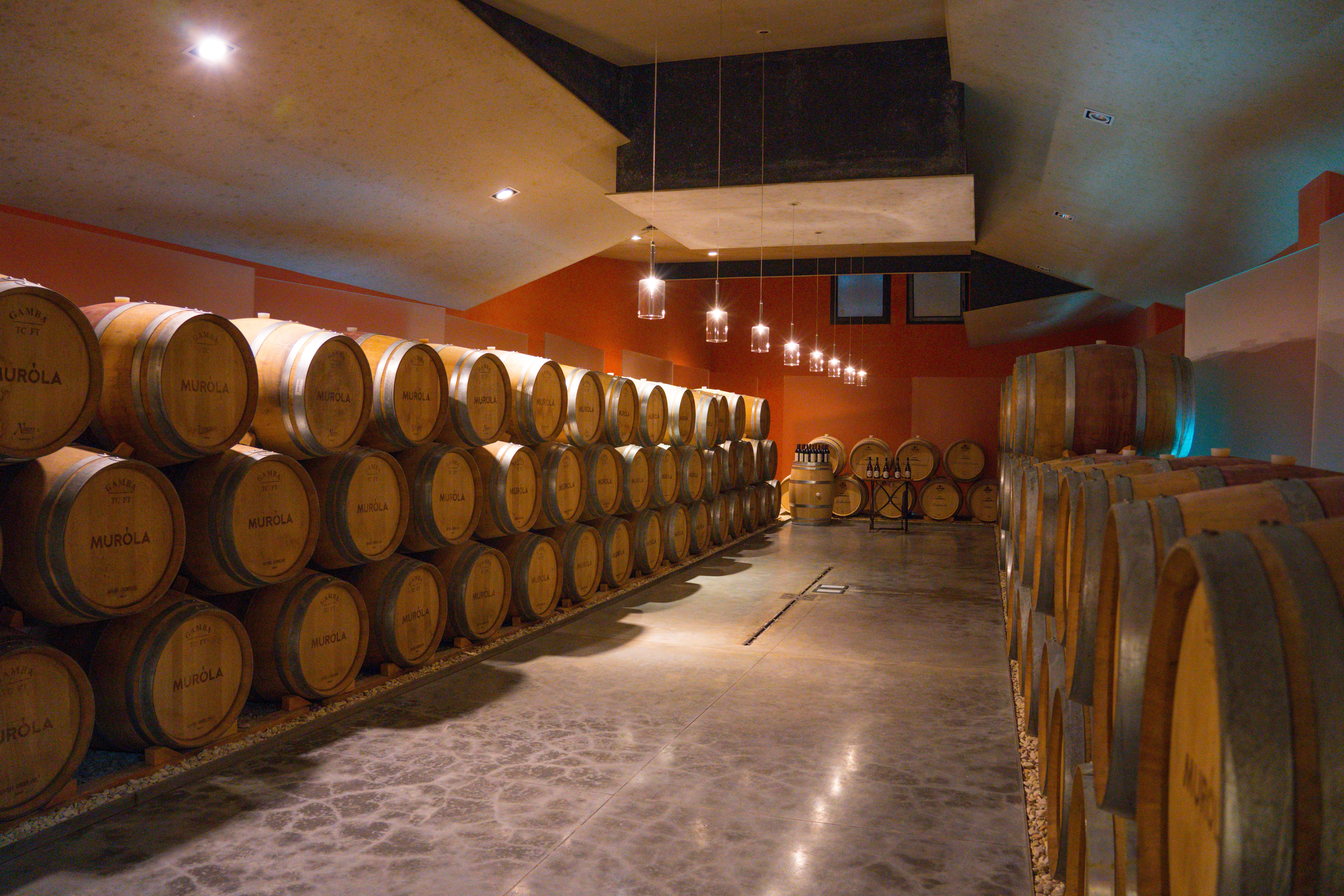
A post tasting tour around the barrels and bottling plant
After some initial confusion about what we wanted, as I had asked for a “wine tasting”, which apparently in Italy is more of a wine experience with food (and €15-20 a head), not a tasting with the purpose of trying before you buy. We embarked on our mission to stock up with some more wine before the rest of the troops made it here. It’s a tough job but someone has to do it. And what a great selection of wines they had, set in beautiful grounds. Our host Anna even offered to deliver our wine to the campsite! Now thats a service I doubt you’d find at your average Tuscan posh as you like winery.
We think we will like it here!
A fantastic cycle home to Truffy
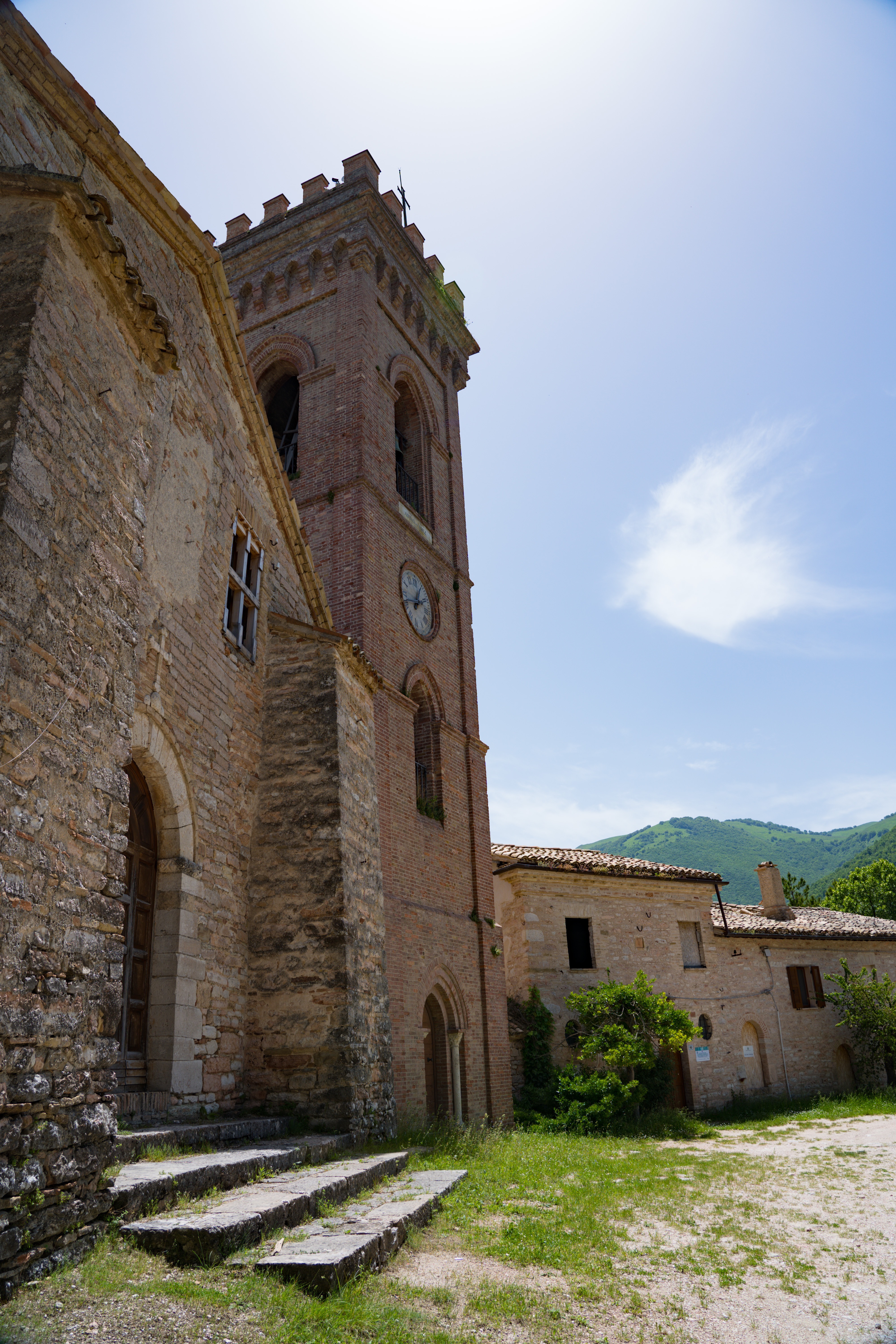
Friday we did a little more exploring on foot, taking a look at the monastery and abbey, and taking some of the footpaths at a slower pace, listening to the birds, smelling the flowers and generally just enjoying the peace before the storm.
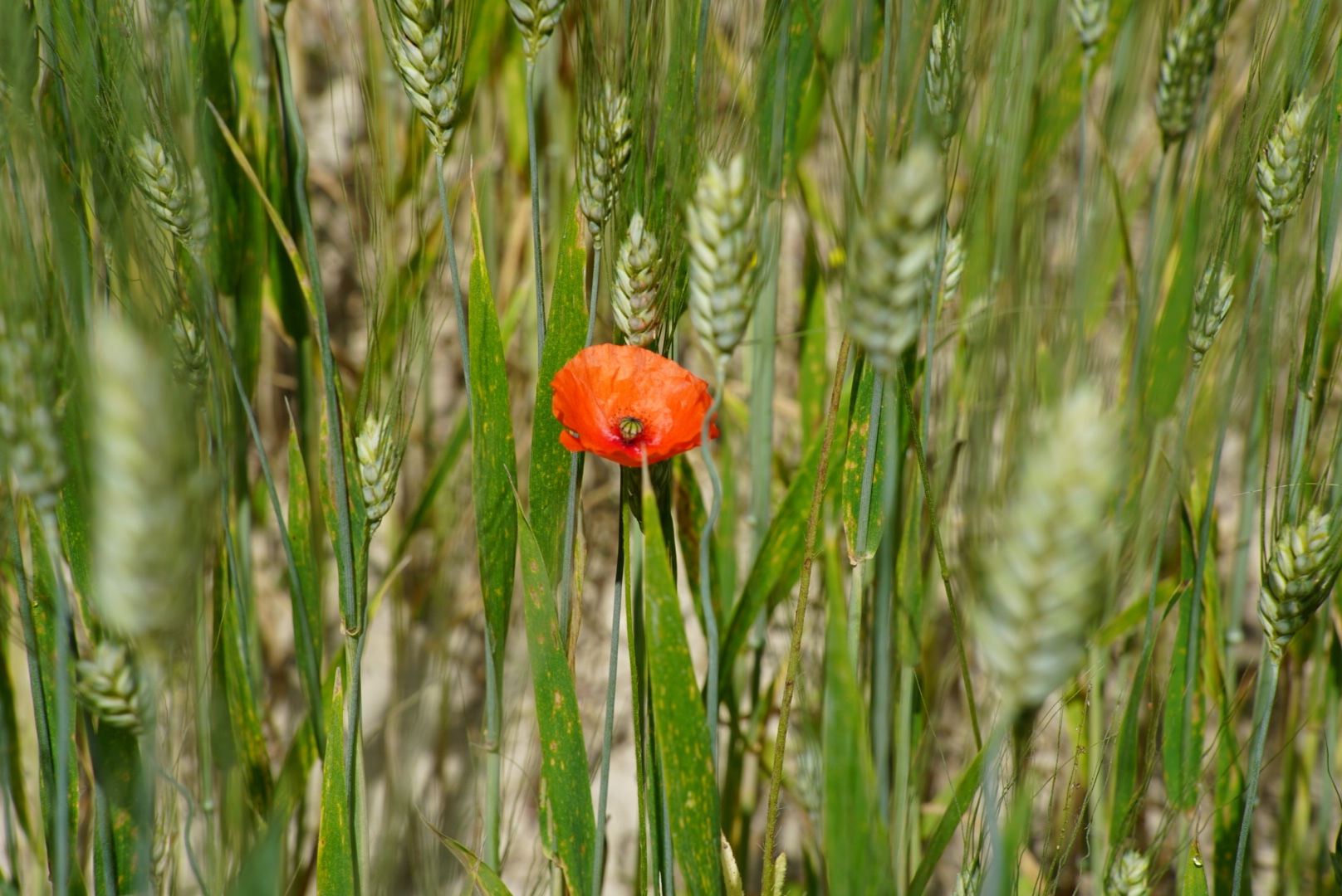
Poppies are everywhere splashing red into the fields
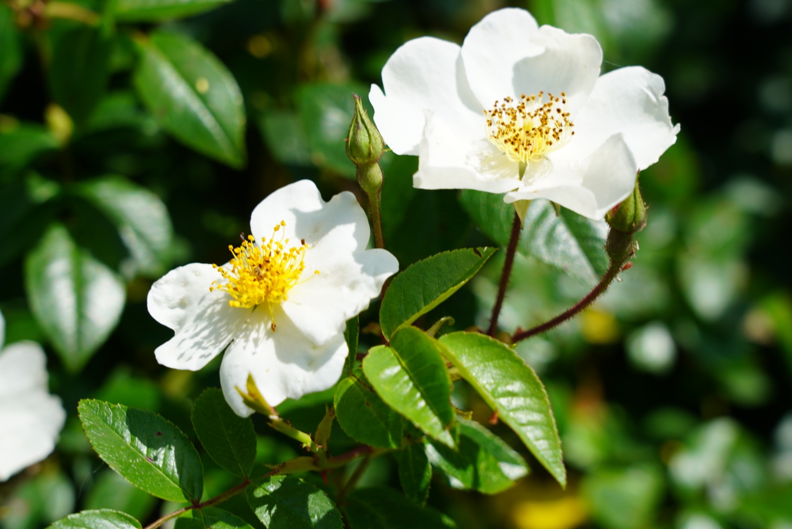
Wild roses
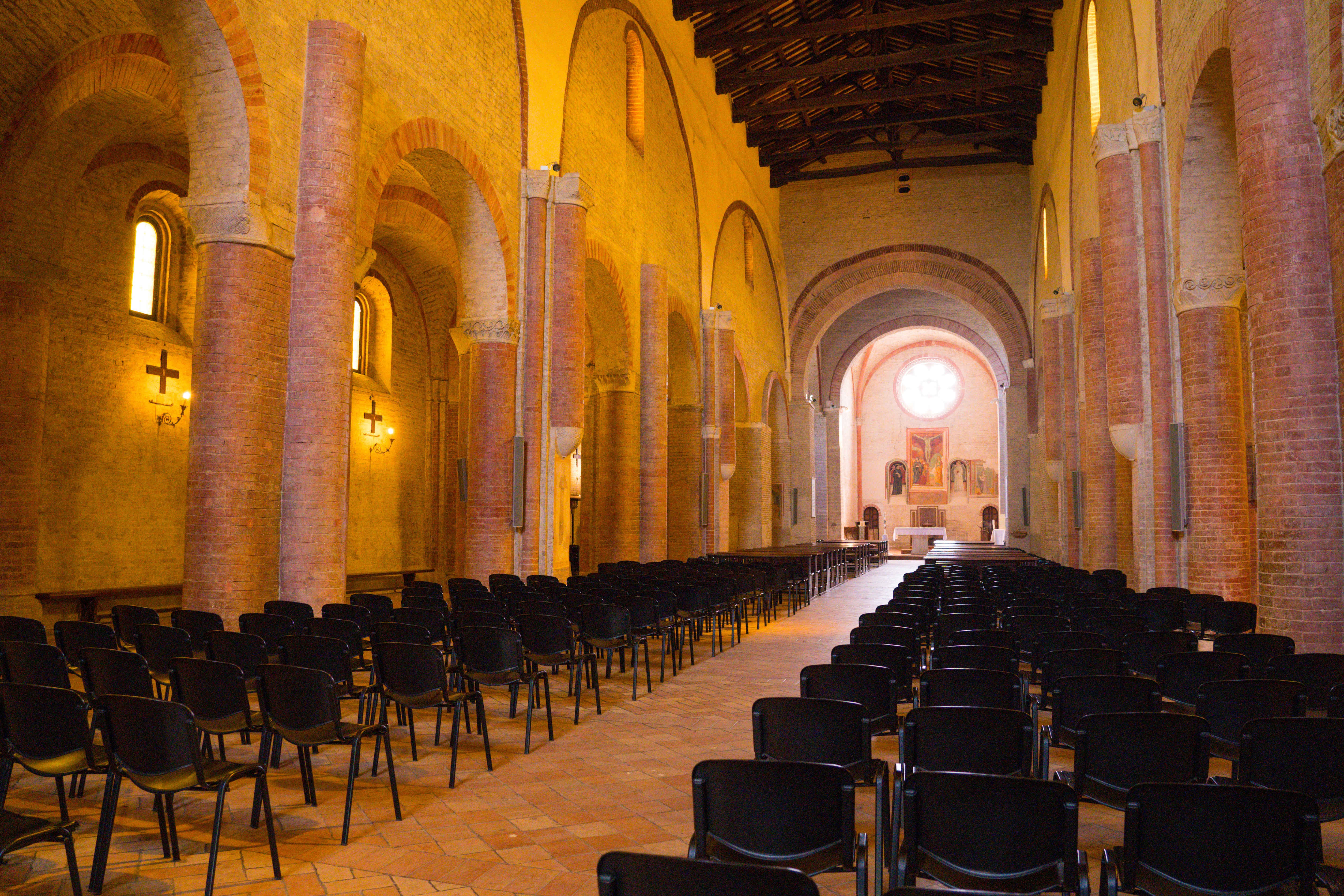
Inside the abbey
Our friends Melinda and Barney arrived at around 5pm to escort us to their home in Loro Piceno, and tomorrow four more friends arrive from the UK. It’s all going to get a lot busier around here!
Wednesday: We only drove 15 minutes to Spello, just 10km away from Assisi, everything we had read suggesting it was worth a visit.
We took quiet winding roads through agricultural land, grateful we didn’t meet any other traffic along the way.
Maybe just room for a cyclist to pass here…fabulous roads to drive on as long as you don’t meet anyone!
Gorgeous views accompany us on our way
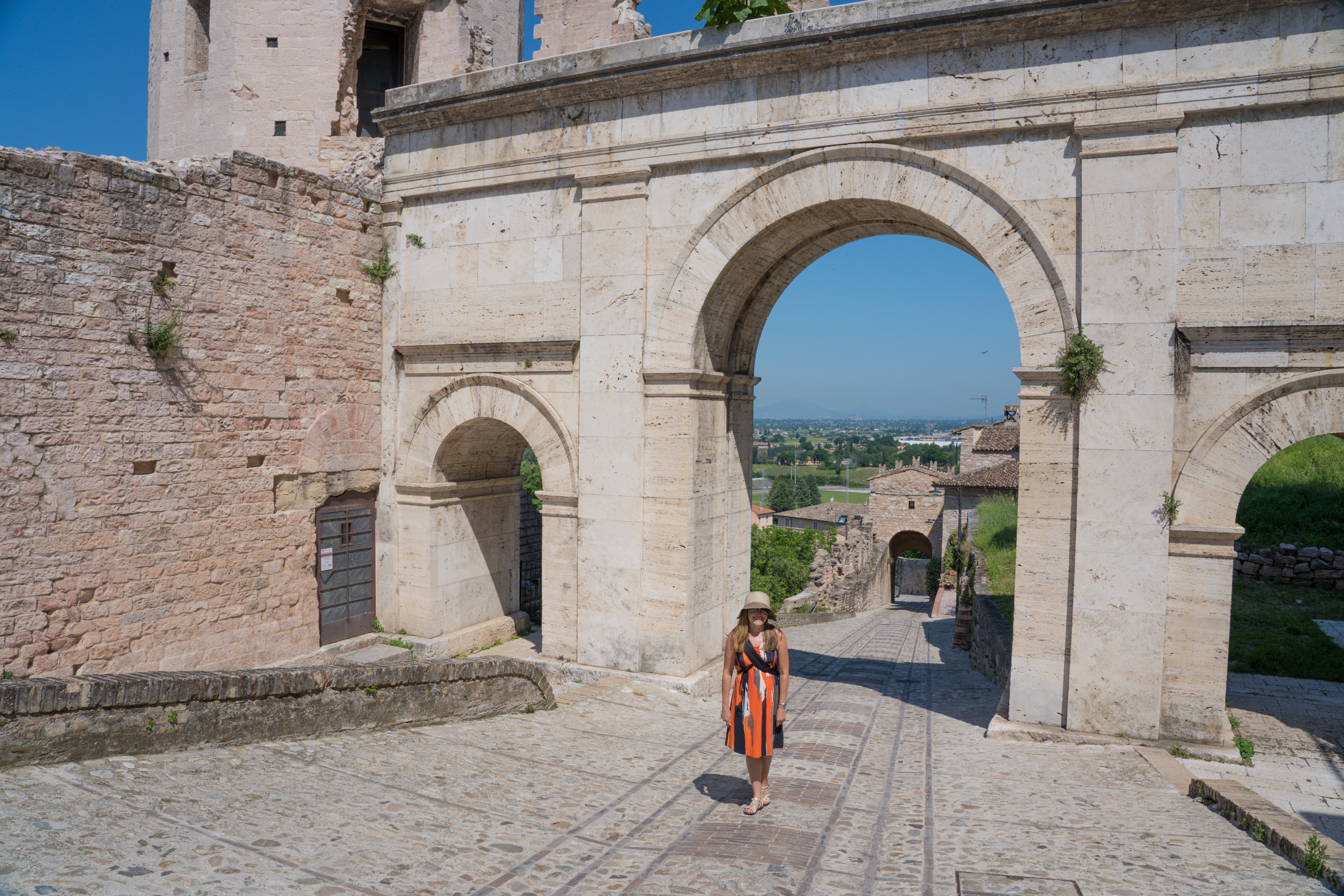
Spello is far less well known than Assisi, but its history stretches back just as far. Much of the town is built on Roman remains and foundations, and sits within an old amphitheatre. The churches are often built on top of old Roman temples, and encompass little clues here and there to the past.
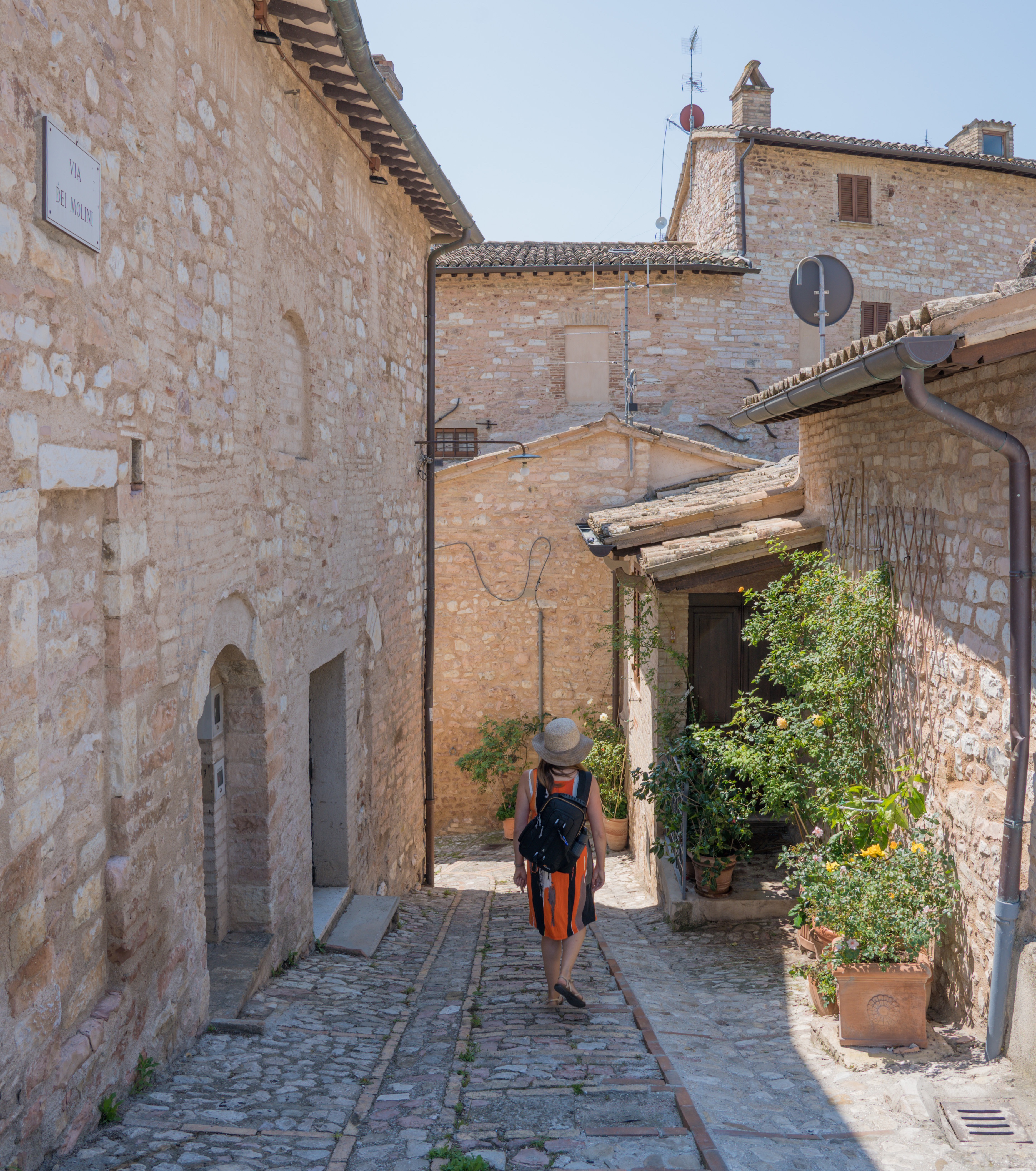
We entered through a grand gateway flanked by towers, amazed that there was not a soul around. In fact that is one of the main appeals of this town – it is so close to Assisi but there are so few tourists here. The streets and buildings are quiet, taking on a pink hue from the Mount Subasio limestone used in their construction. The constant call of swallows can be heard as they swoop catching flies around the rooftops, and the hum of insects on the ever present flowers.
Where are all the people?
These stone walls were restored in the early 1900s
Every corner is filled with flowers
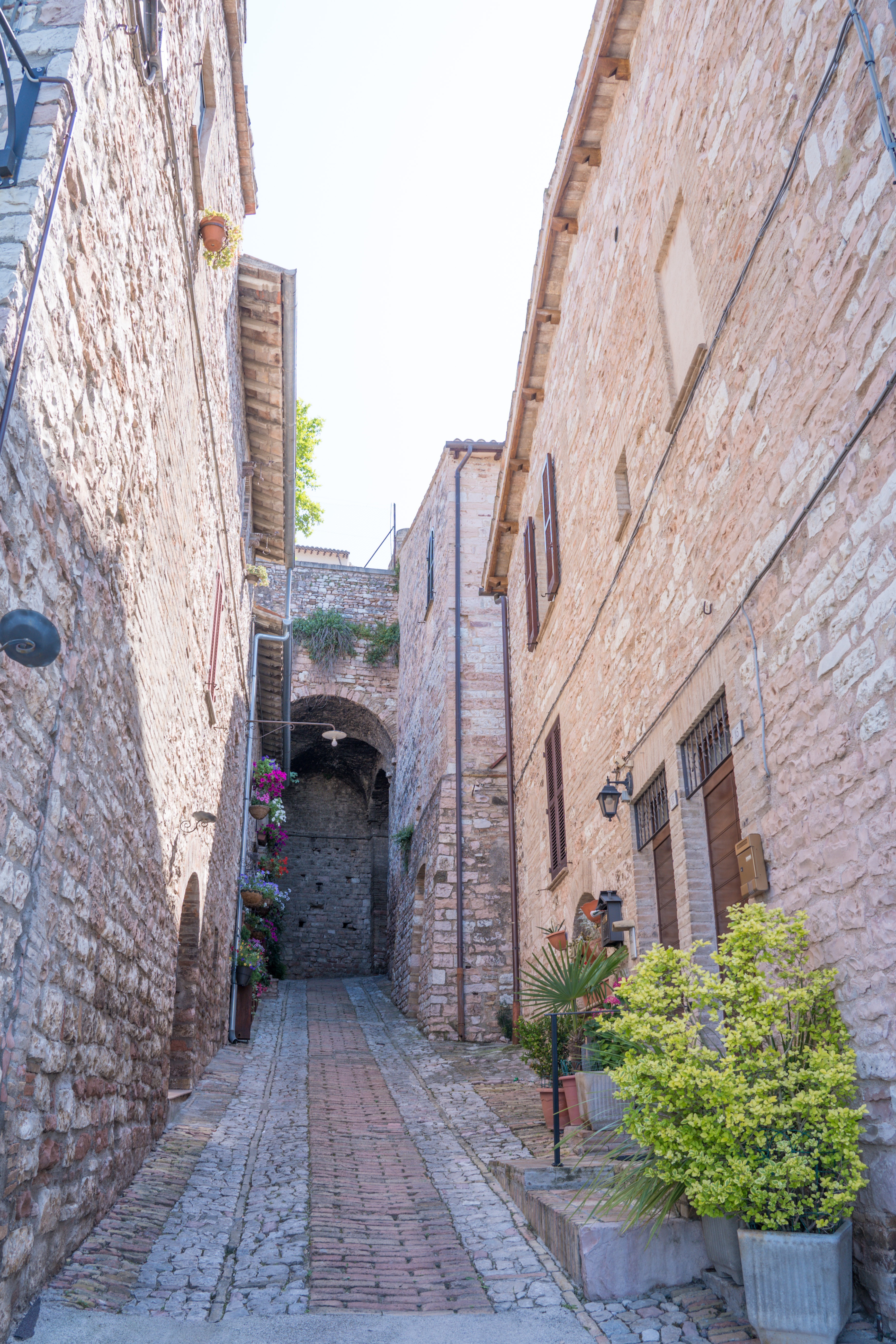
Pretty pathways in all directions
A lovely looking villa
Every little space is used for pots of colour
Richness of colour in every direction
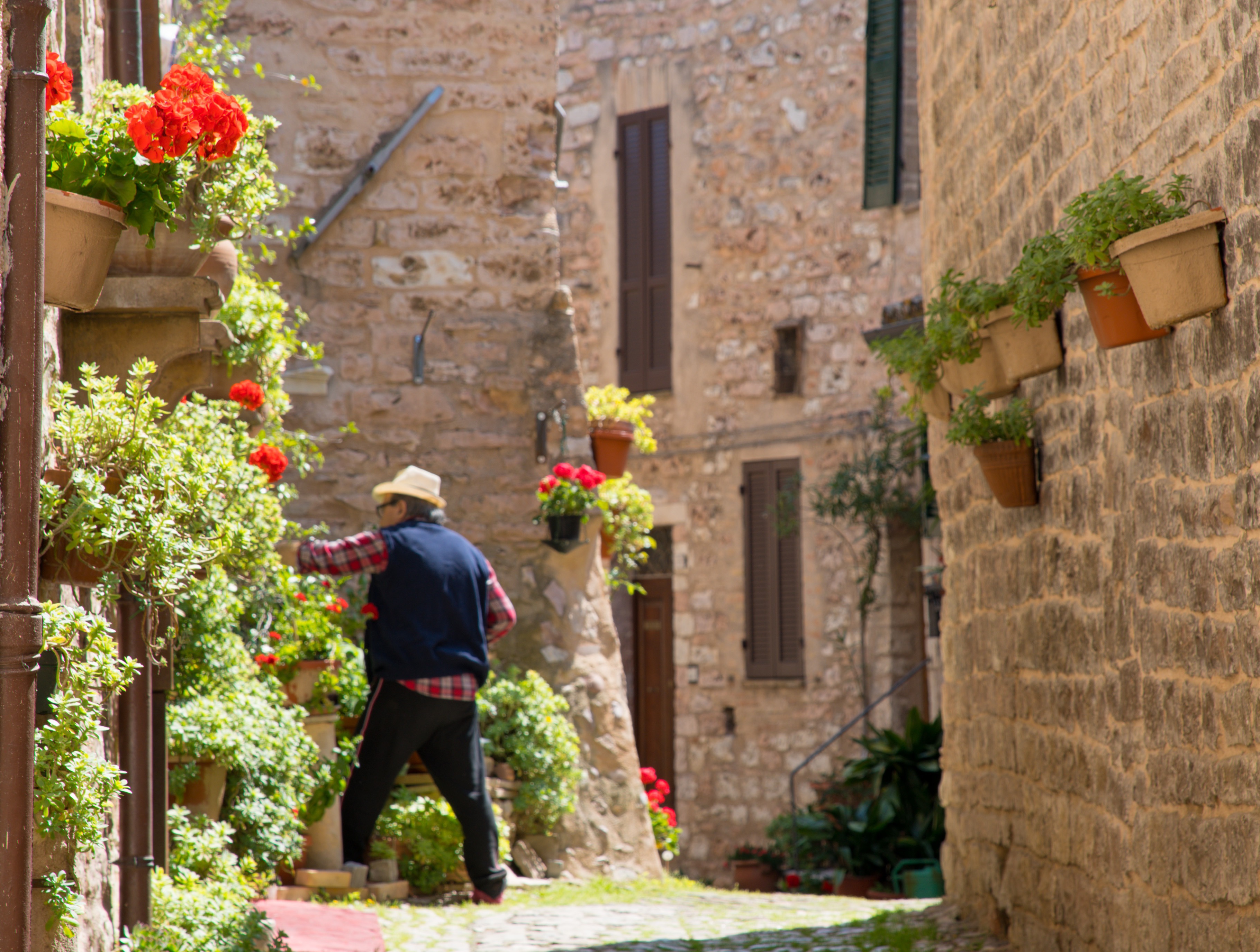
Seppo is full of flowers, every windowsill, doorstep and corner brimming with blossoms. The few people we did see were often tending to their pots, painting wooden planters, replacing dying plants with new ones.
A local gardening enthusiast tends to his pots
There seemed to only be one cat in Seppo…quite a chunky one too!
Fine views across the Umbrian countryside
From the top of the town there are fabulous views back across to Assisi, a monastery behind us enjoying this view daily.
Assisi on the hillside opposite
Wander around forever and never see another person!
Heading off down yet another enticing lane way
Will we get tired of these views?
A flower within a flower?
If only we could understand the stories behind this architecture
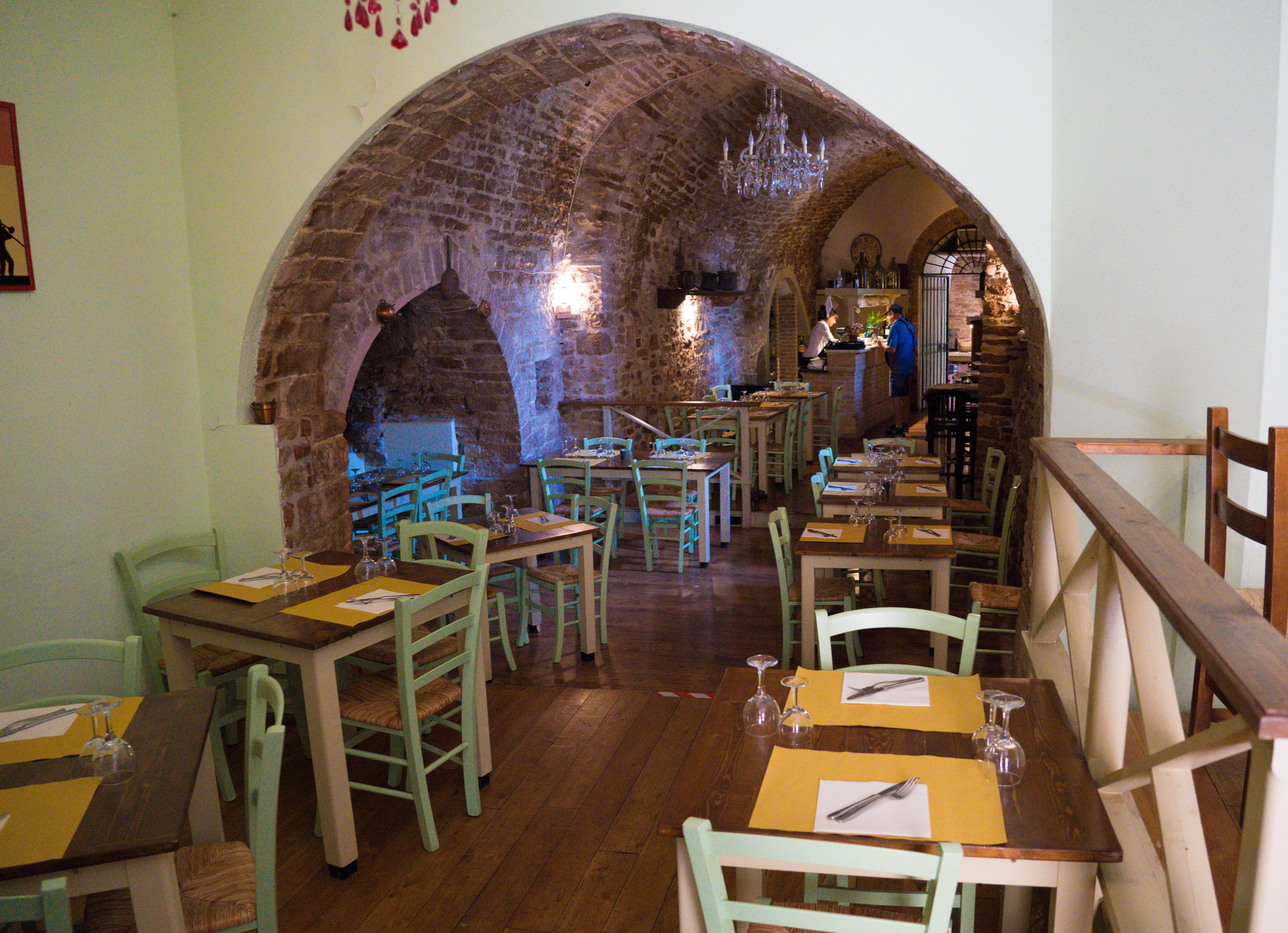
We tried to find somewhere nice to have lunch, but the menus were quite restrictive in terms of dairy-free, and the restaurant we really wanted to go to was closed on Wednesdays.
Mr A making use of the Google Translate app to ask about dairy-free meals
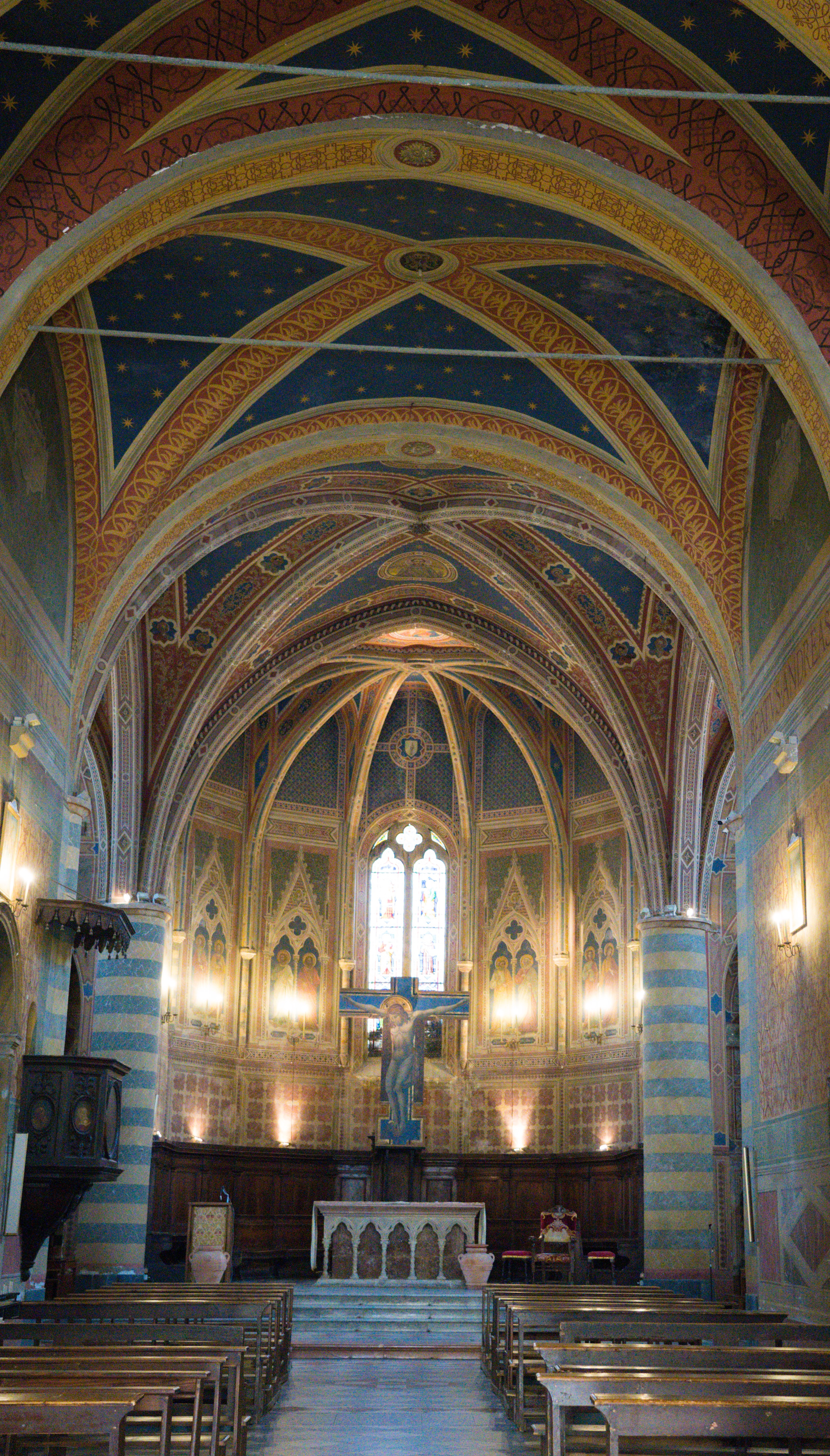
So we wandered back through the town, calling in for some wine tasting on the way through (three small glasses for €10), and popping our heads into the Chiesa di Saint Andrea, a church built in the 11th century, an example of Francisan architecture.
Hard to resist another little alleyway to explore
Chiesa di Saint Andrea
Frescos by Tommaso Corbo in 1532
We’ve seen sculptures like this all over Italy
It was well worth the visit to Seppo. We didn’t buy any wine, the prices set for the American market (two to three times the usual cost!) rather than the Italian value we have become accustomed to. It would be a great location to stay if visiting Assisi and wanting to avoid the crowds, assuming you had a hire car you could park outside the town walls.
We, meanwhile, jumped back on the road and continued our journey towards the east coast.
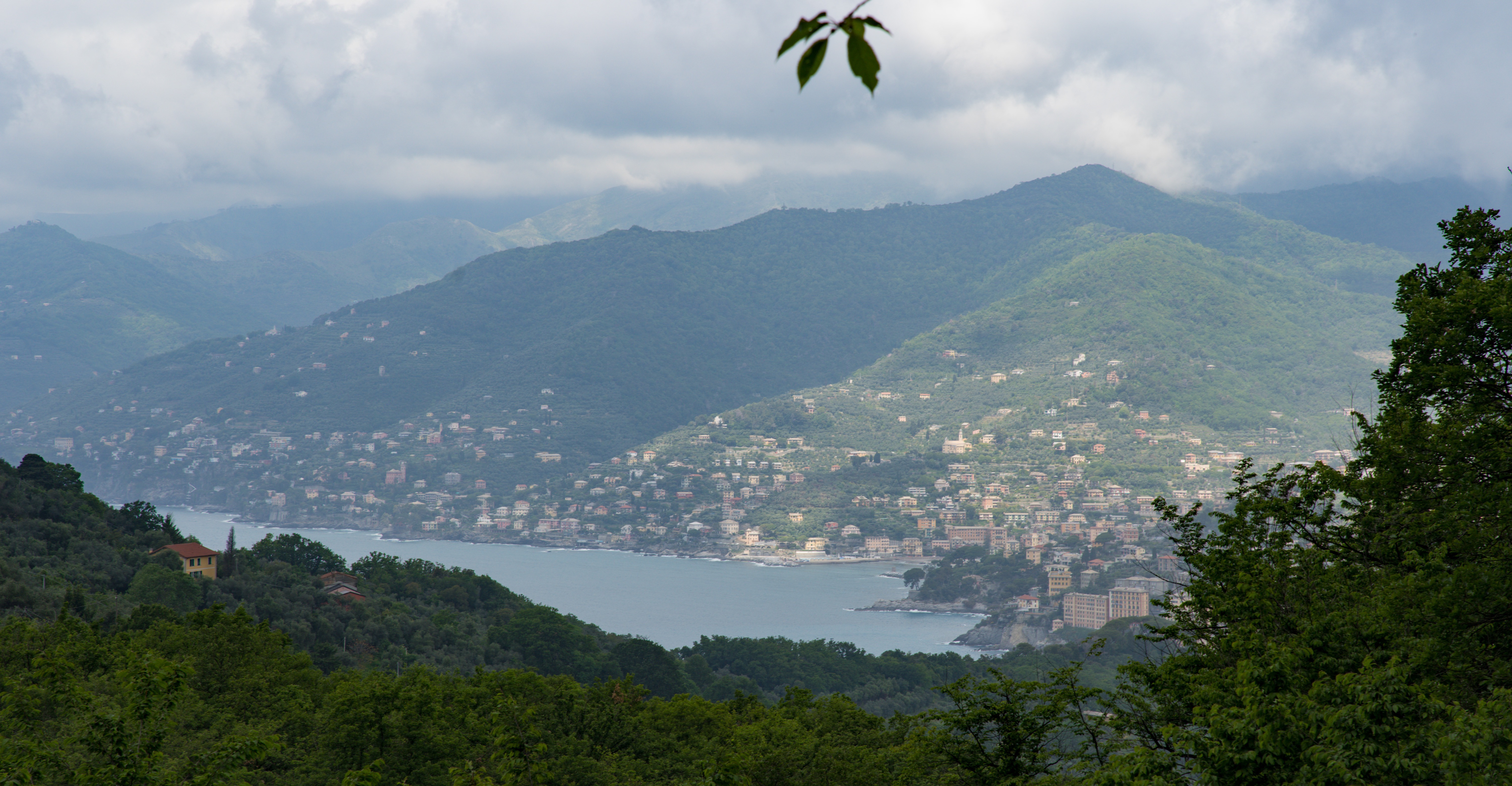
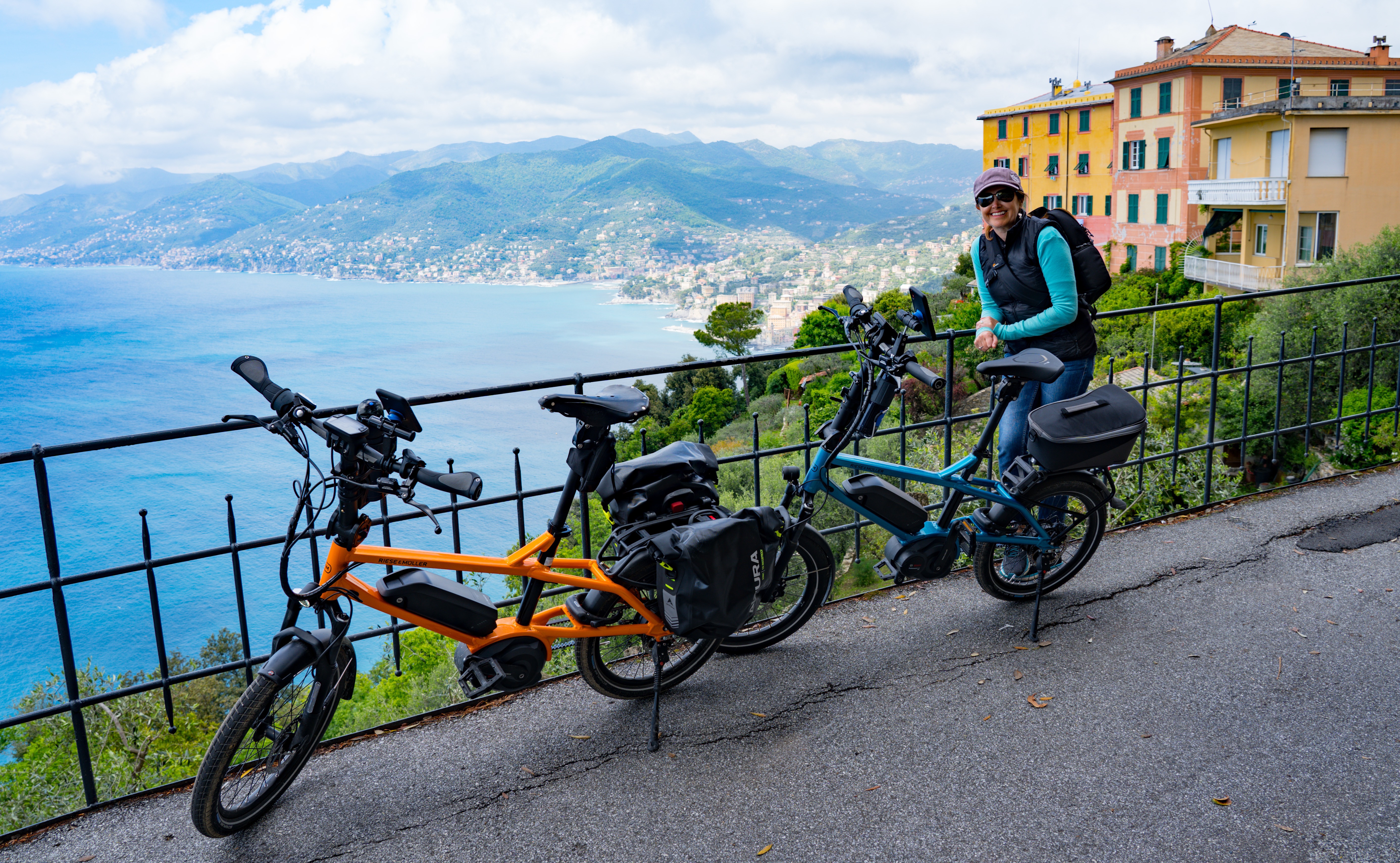
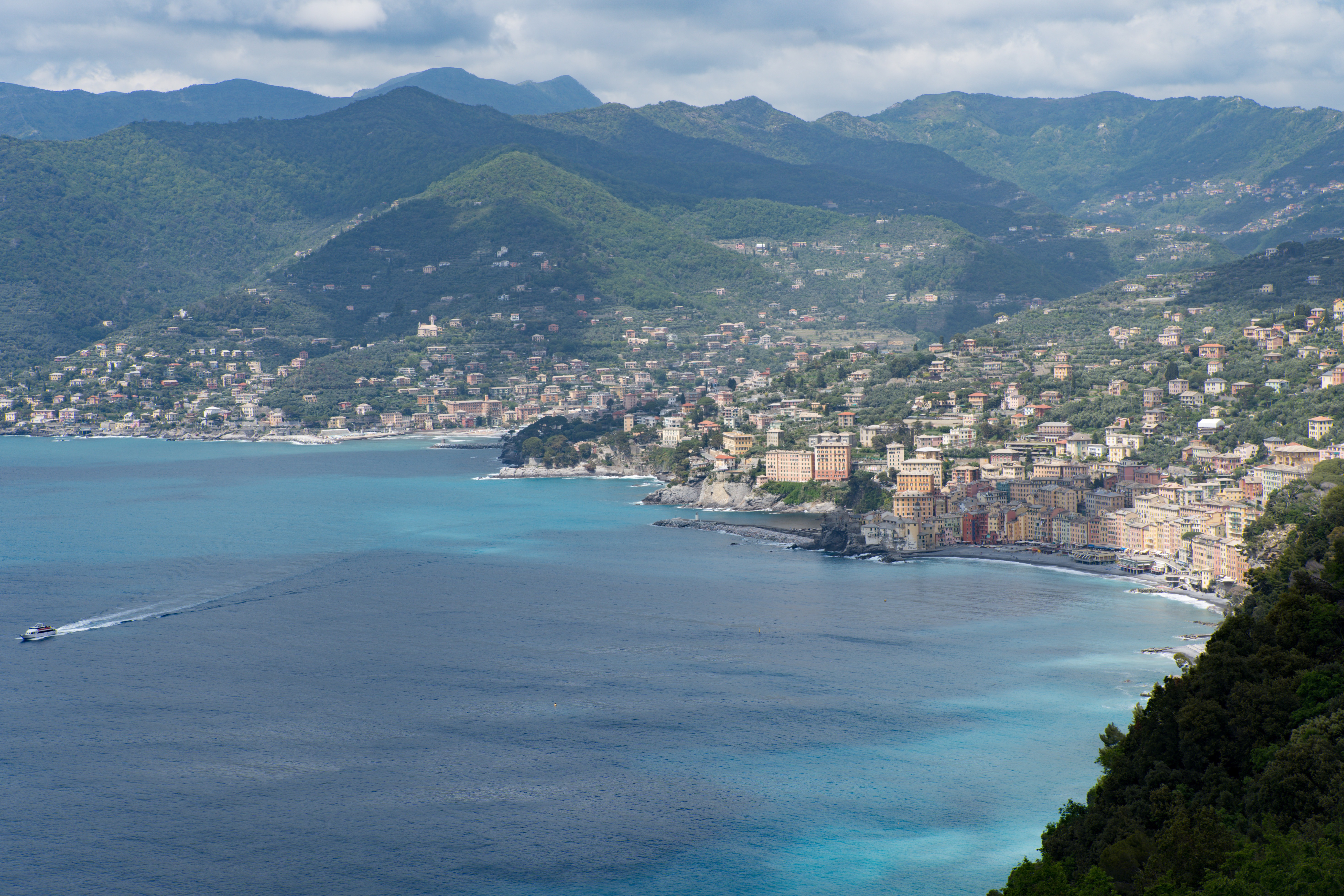
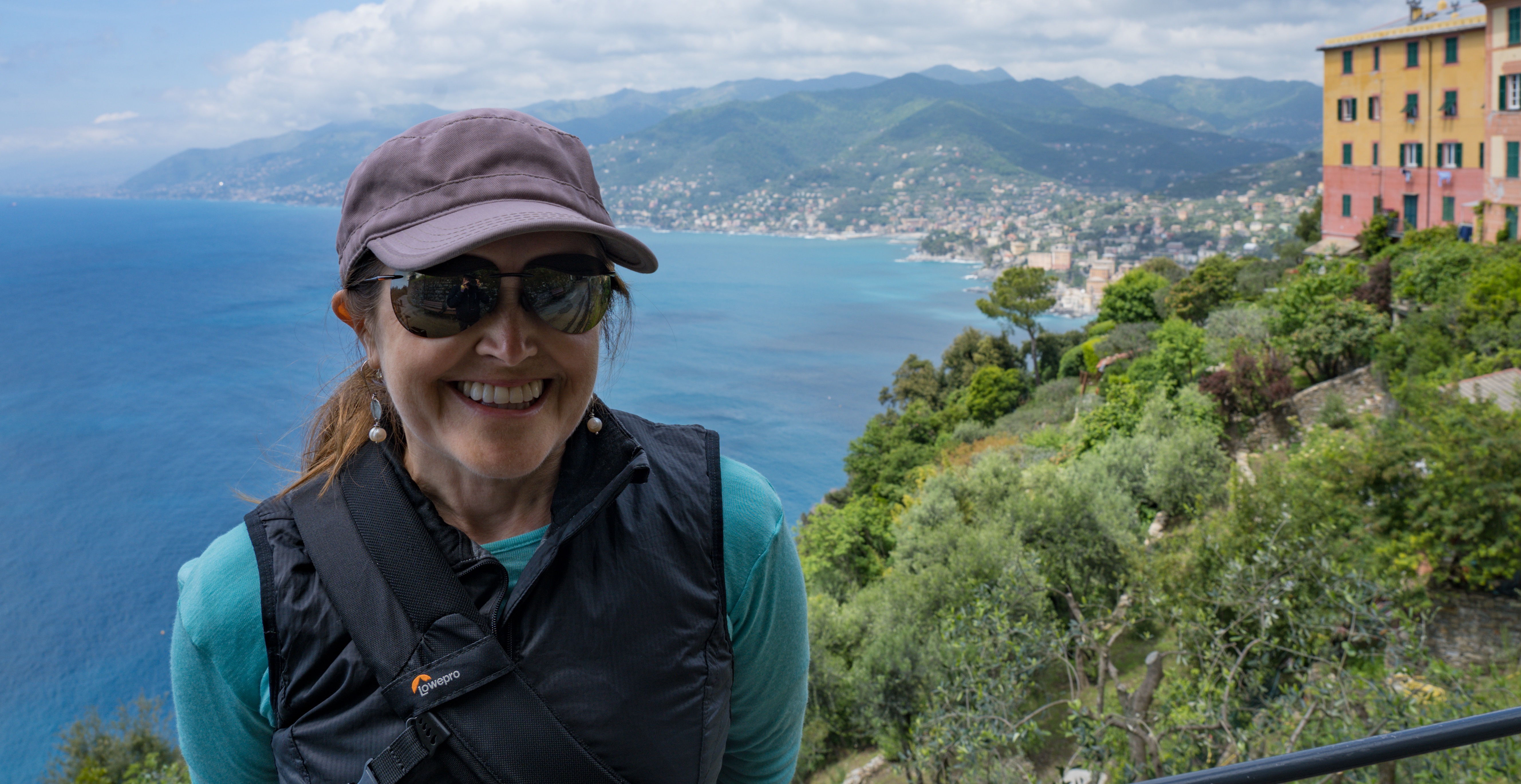
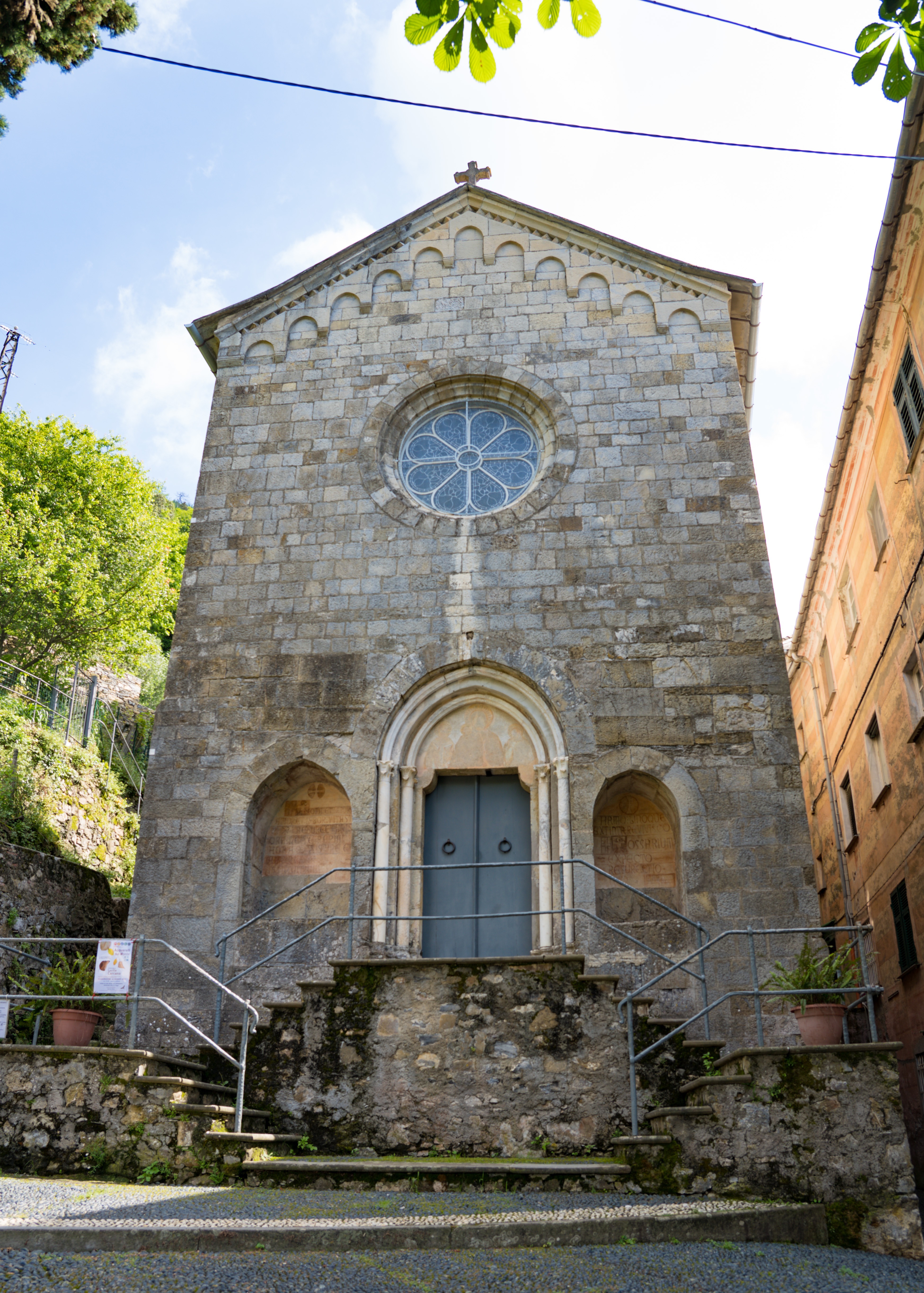
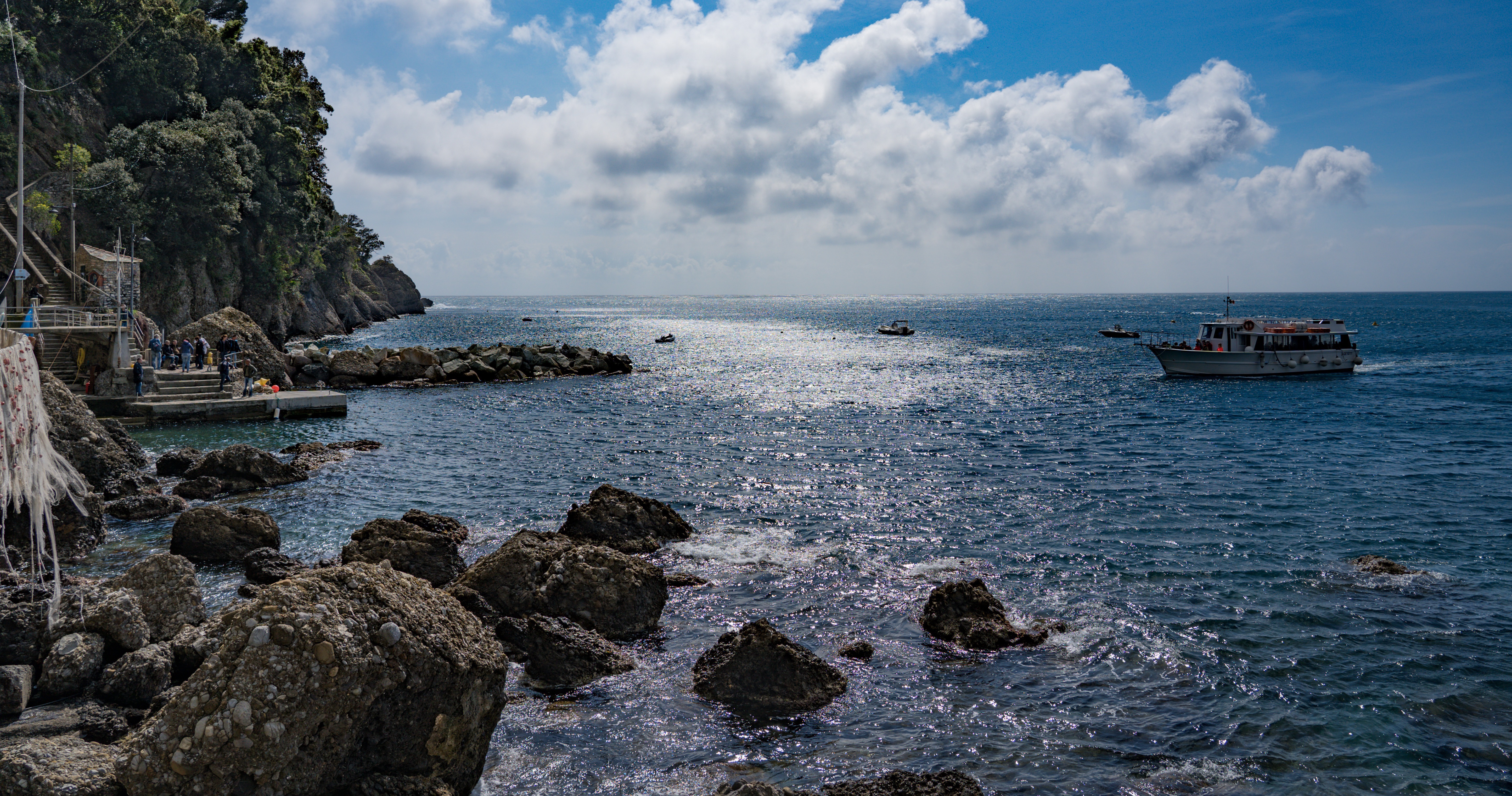
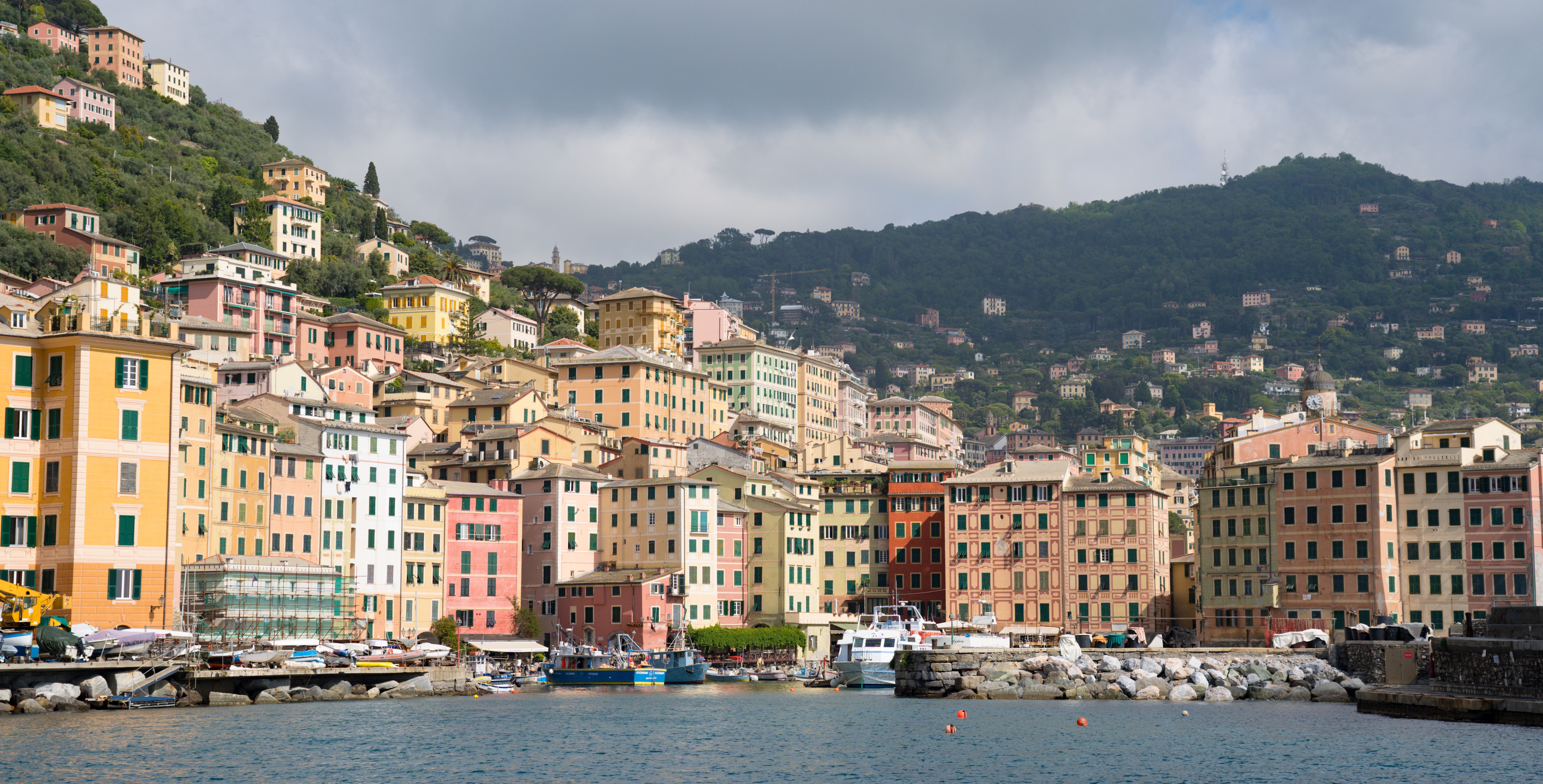
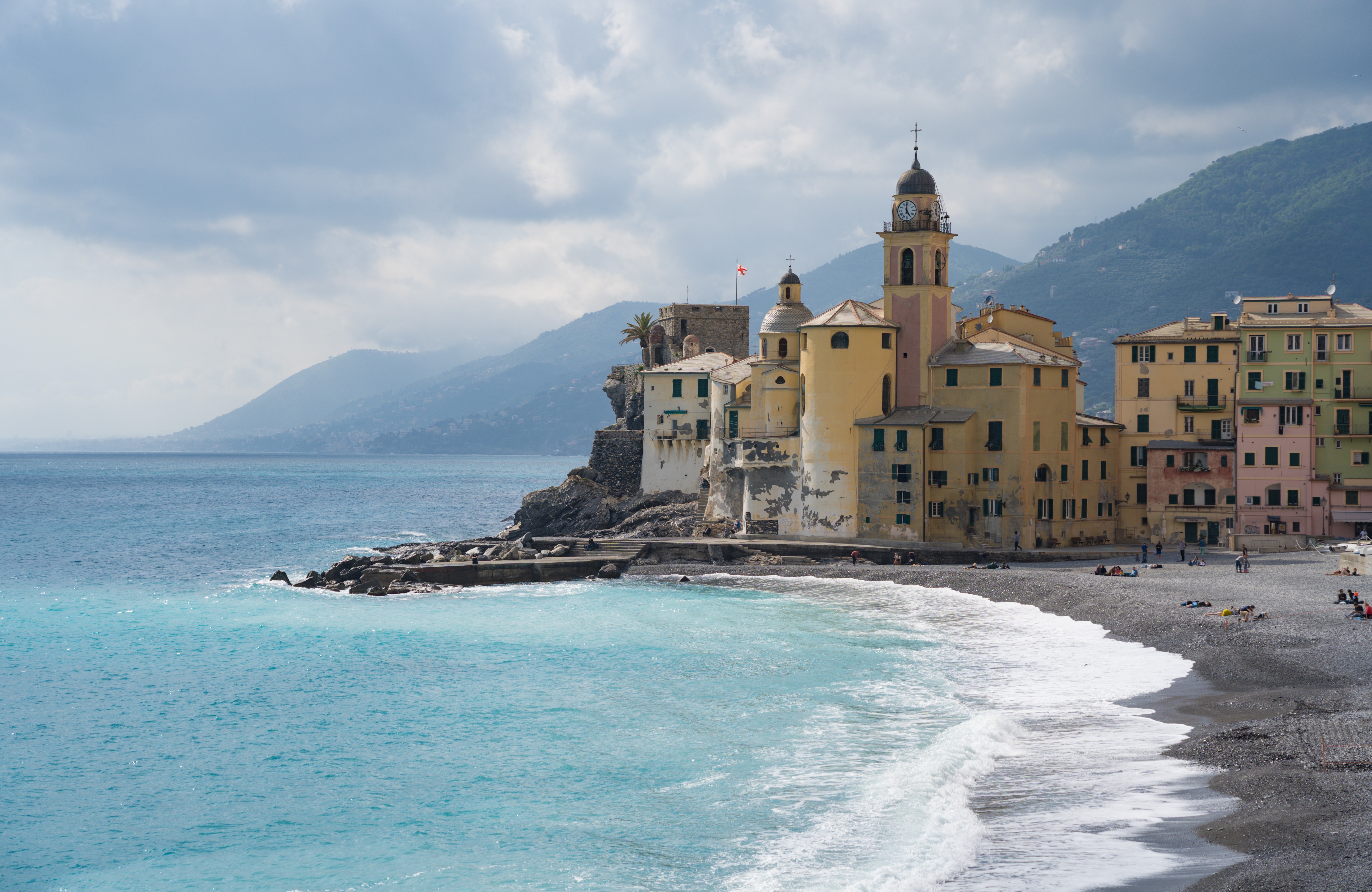
Every so often when you’re exploring new ground, you come across a place that you know will be etched into your memory for ever. The little port of Camogli ticked that box in spades.
We planned a stop over between Genoa and the Cinque Terre coast at a car park that was described by one reviewer as having “a nice view”. What an understatement! This unassuming bit of tarmac overlooked a chunk of coast that took our breath away.
Our view from our sosta – not bad for a free night!
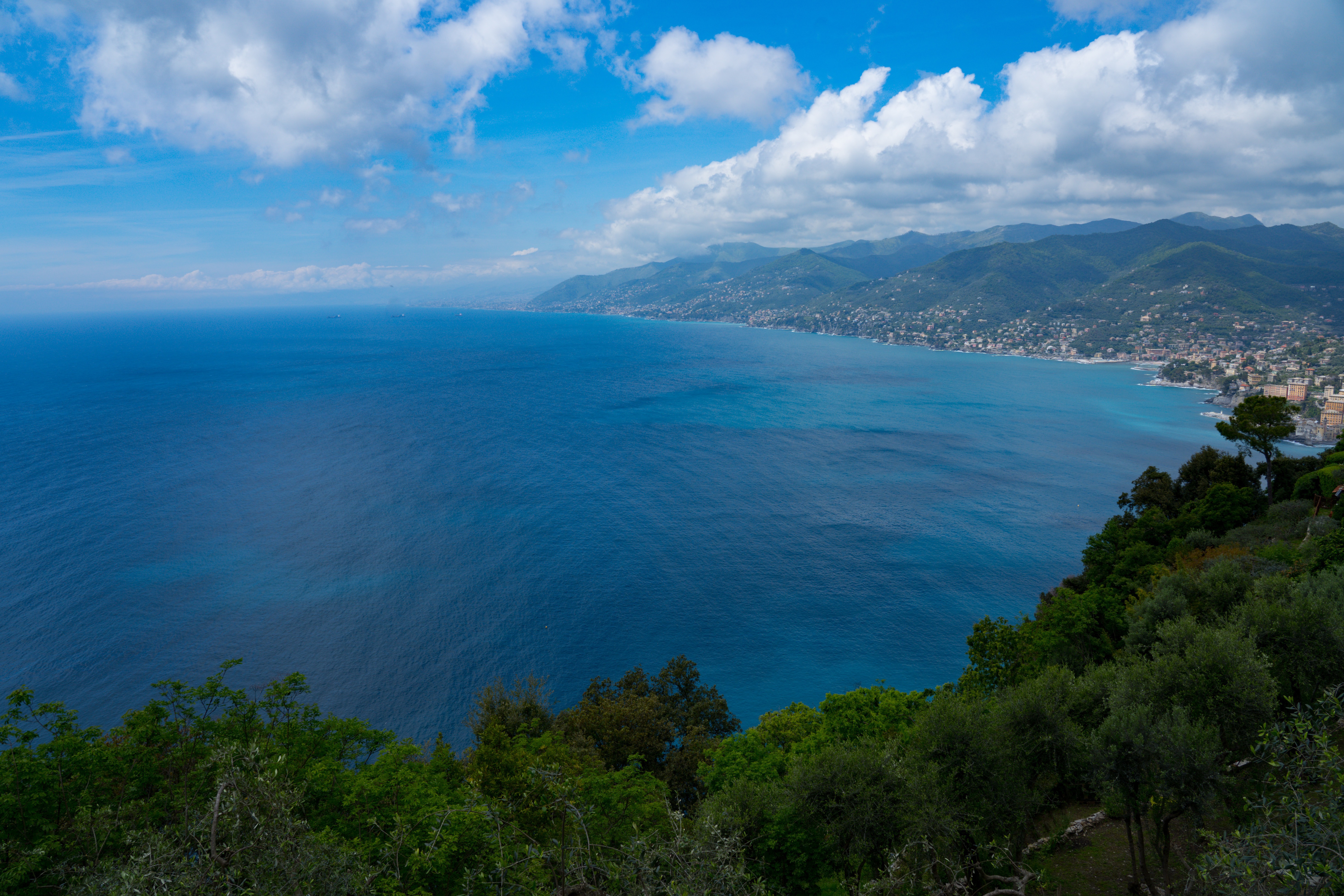
Our first view of the small fishing town of Camogli on the Italian Riviera, about an hour’s drive east from Genoa on the E80, a road that we had been on and off for a few days.
As an aside, what a spectacular feat of engineering the European route E80 is. We didn’t realise until we did a bit of research that in fact it travels through 10 countries as the ‘Trans European Motorway’ from Portugal to the border with Iran. It then joins the Asian highway which continues all the way to Japan! We looked at this freeway in a new light. Living on a rather big island for so many years it really made us think what is possible in Europe.
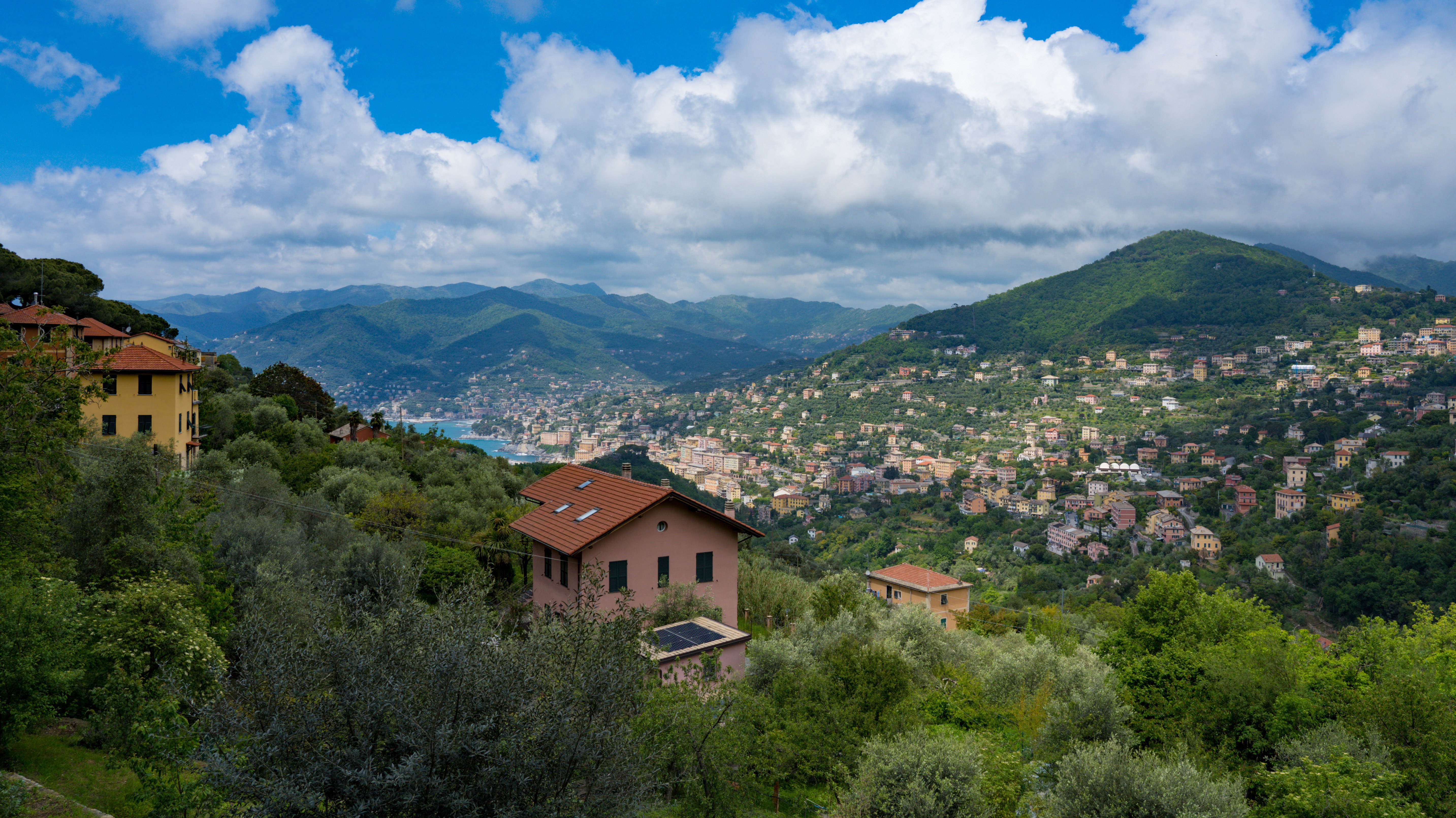
So this car park was on the outskirts of a small settlement called San Rocco, with a path that led down to the sea, as well as many others which criss-cross their way over the peninsular to Portofino on the eastern side.
The views keep on coming
Blown away by the beauty of the scenery
Looking west from the peninsular – better known Portofino is on the eastern side
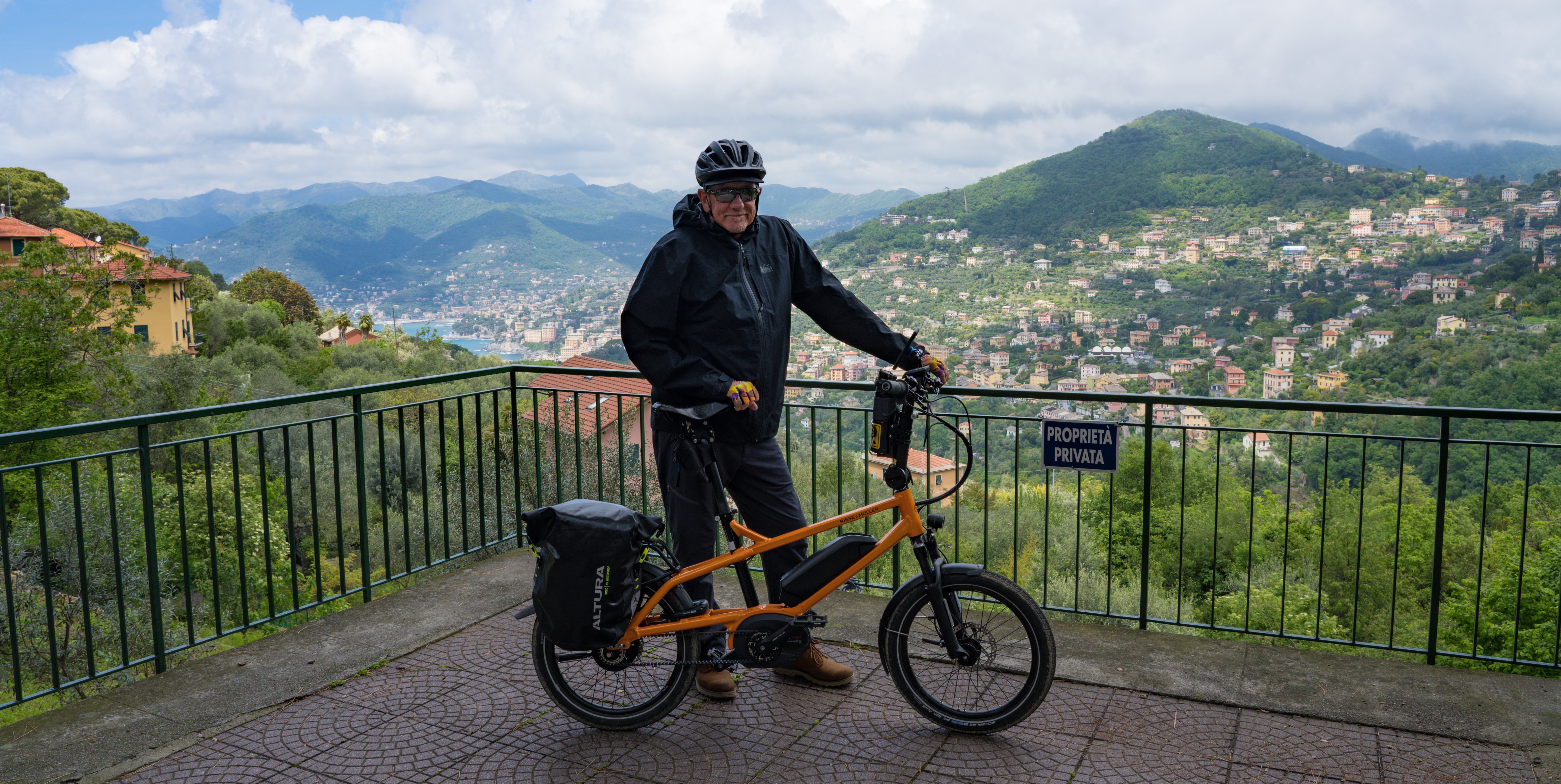
Loving where our little Truffy is bringing us….but the bikes weren’t right for this location
Breathtaking!
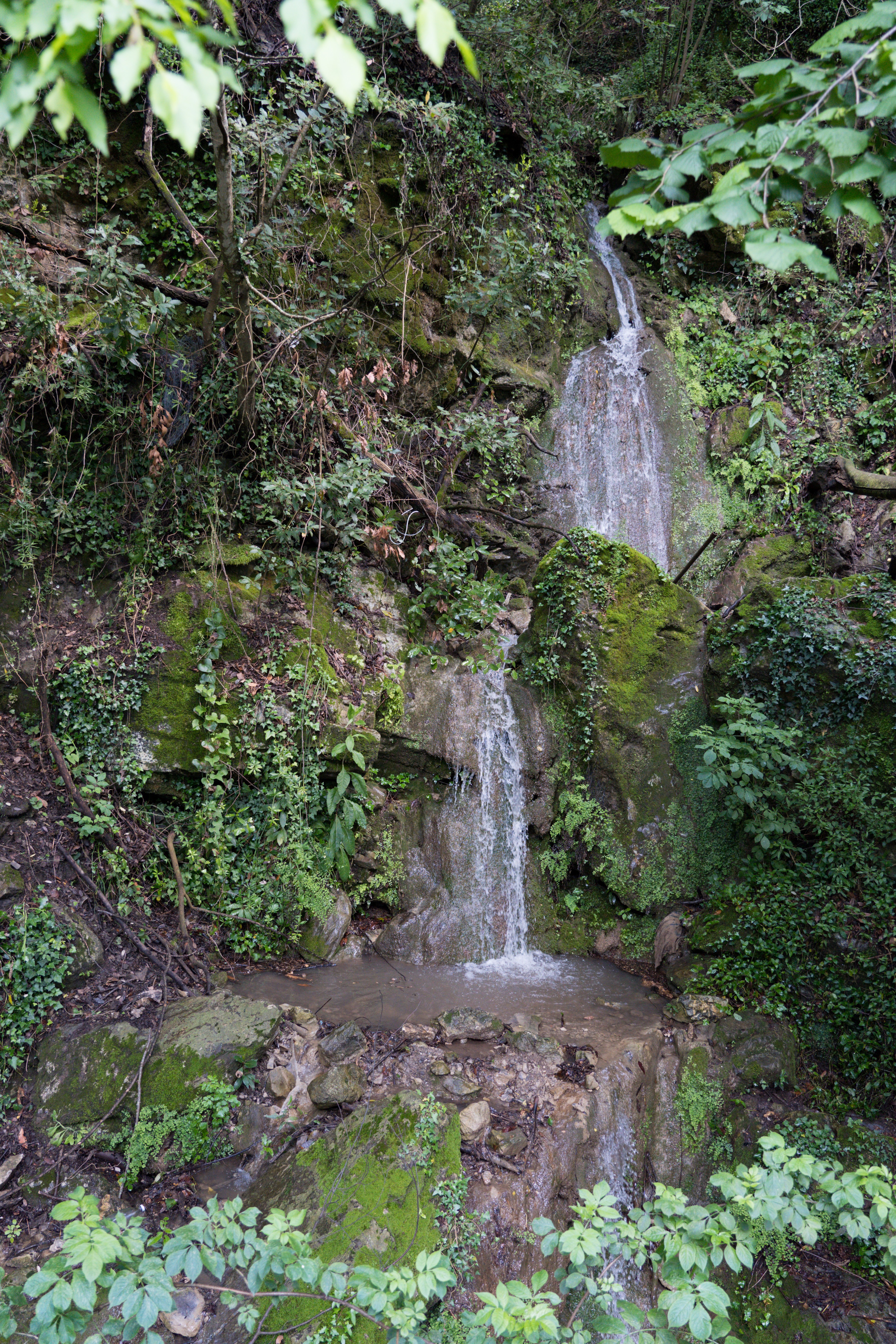
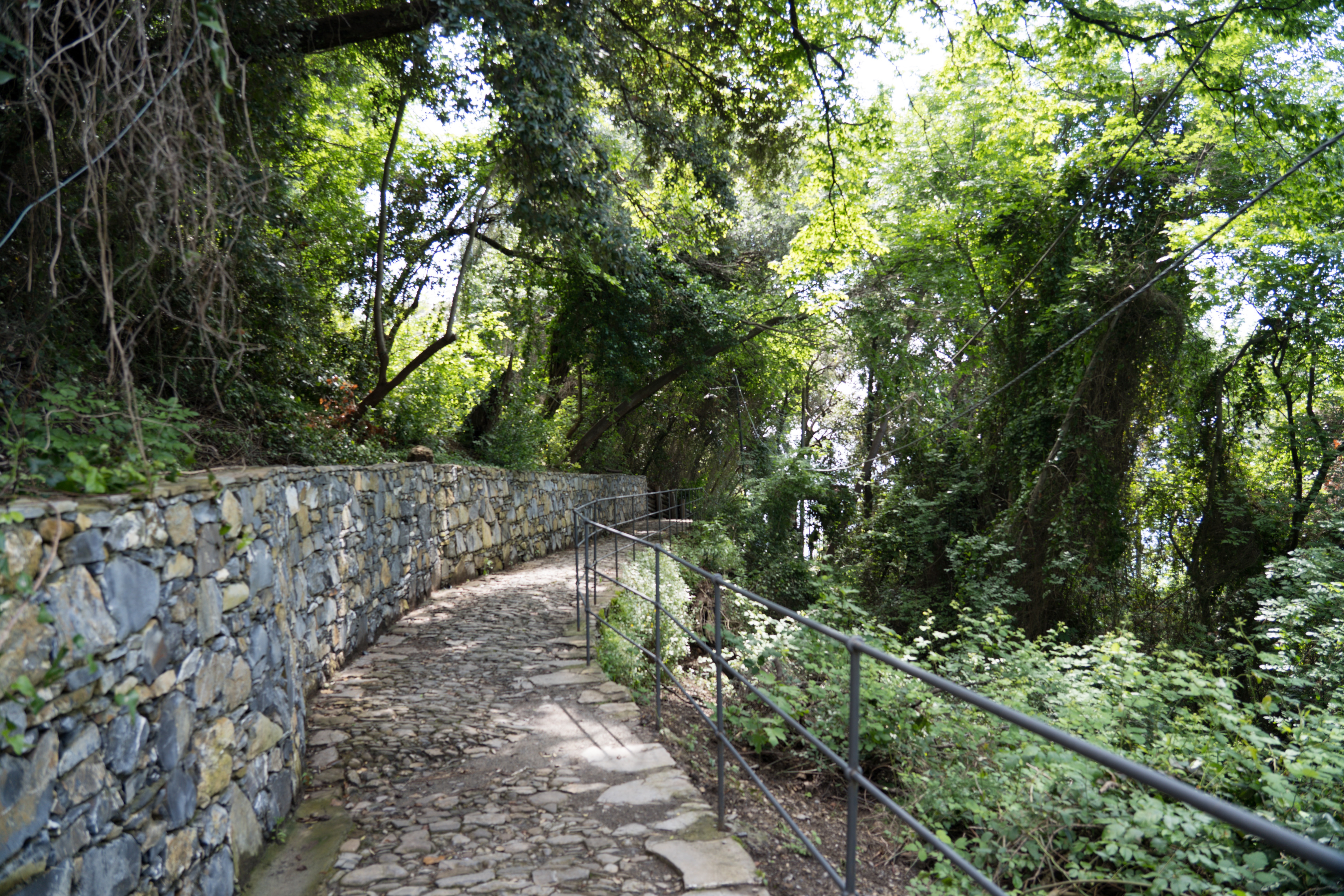
Firstly, we cycled as far as we could on the bikes before encountering steps, then packed away the bikes and donned walking shoes.
Feeling happy here…can we move in?
Our wooded walk was accompanied by the sound of water
San Nicolò di Capodimonte, a church along our walk – it officially dates back to 1141, but legend has it there has been a church here since the year 345
A well constructed pathway down to the wharf – quite steep with many steps
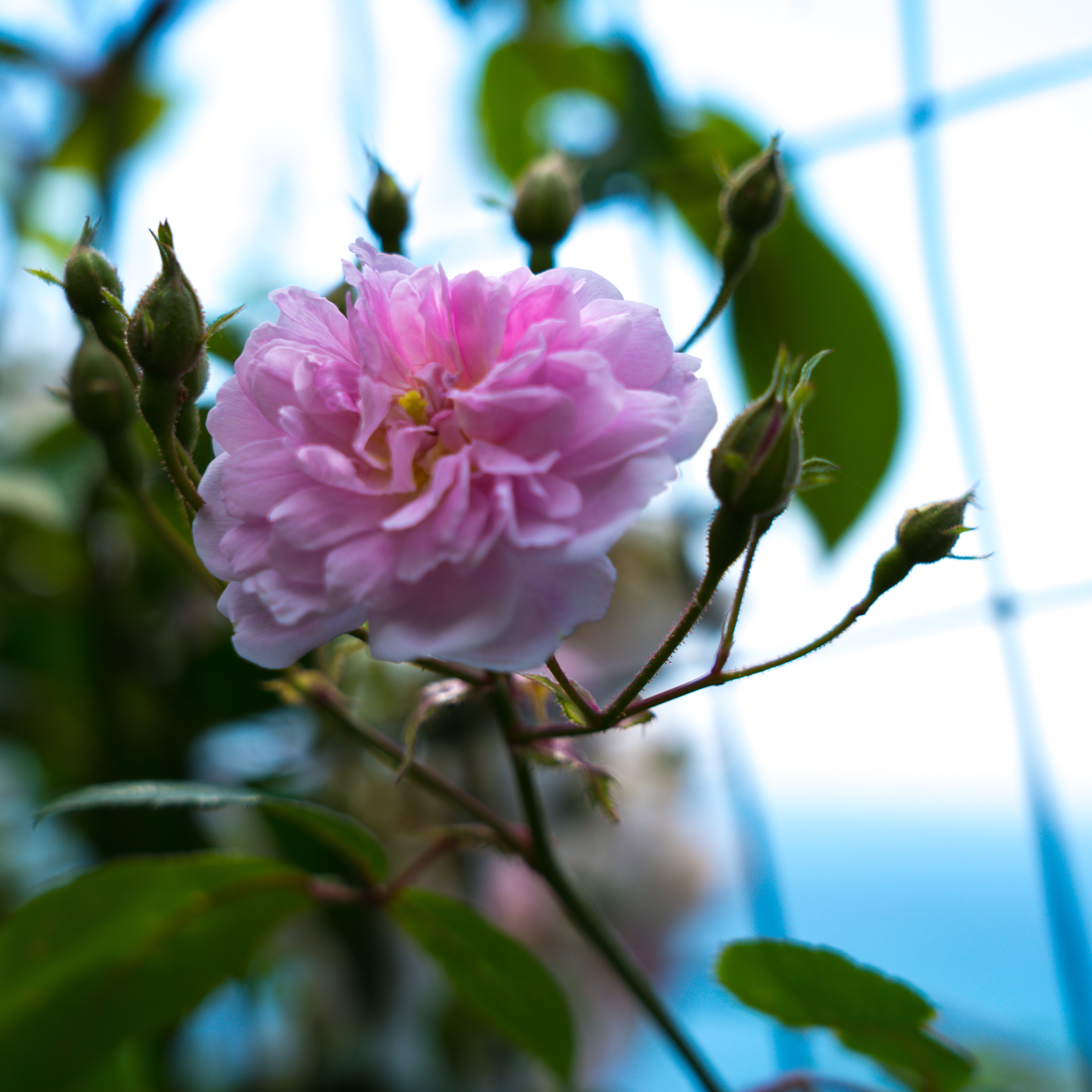
Wish we could share the scent of these roses….Devine!
Warmed up in the afternoon sunshine
Spying the ferry we run to the wharf
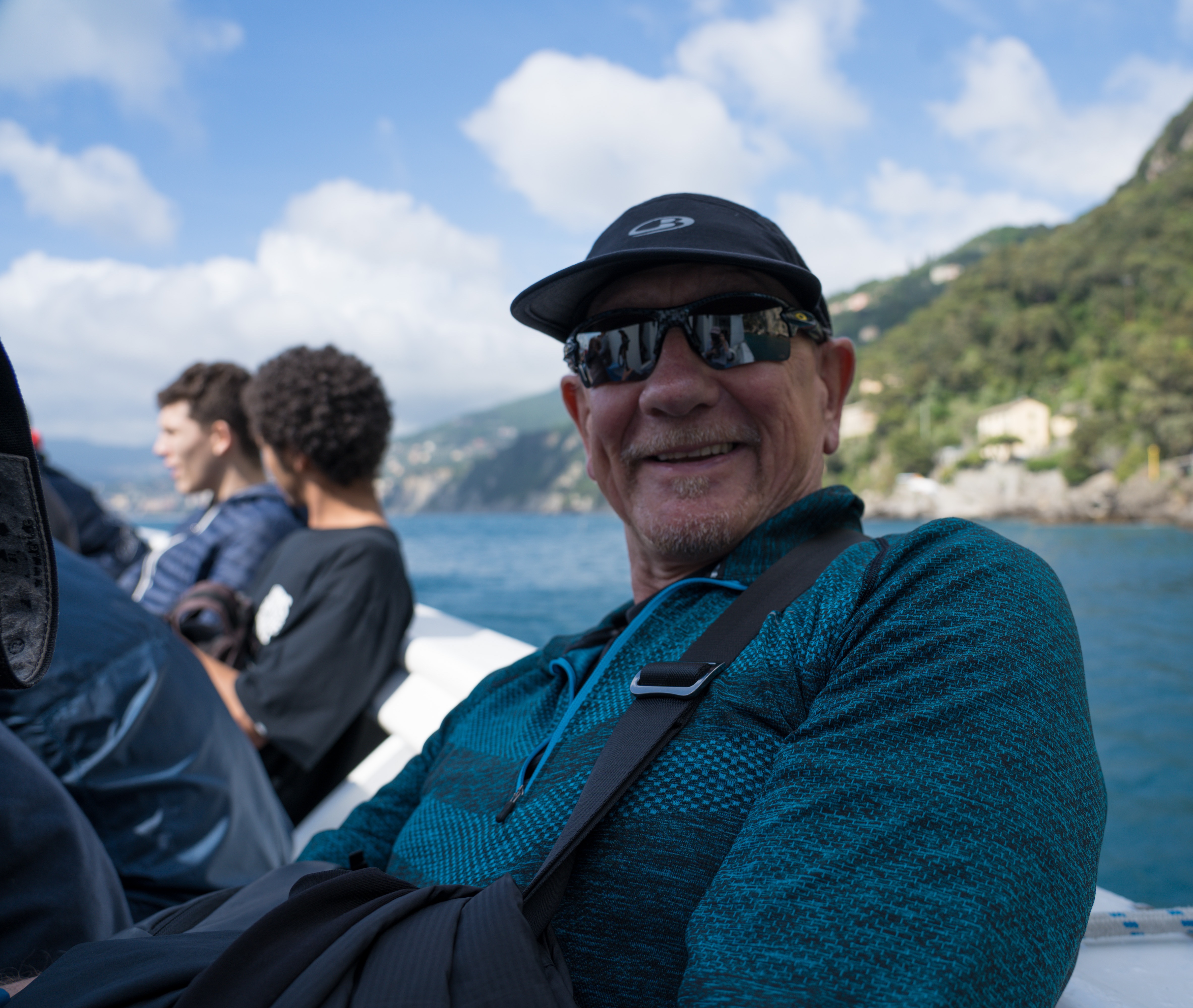
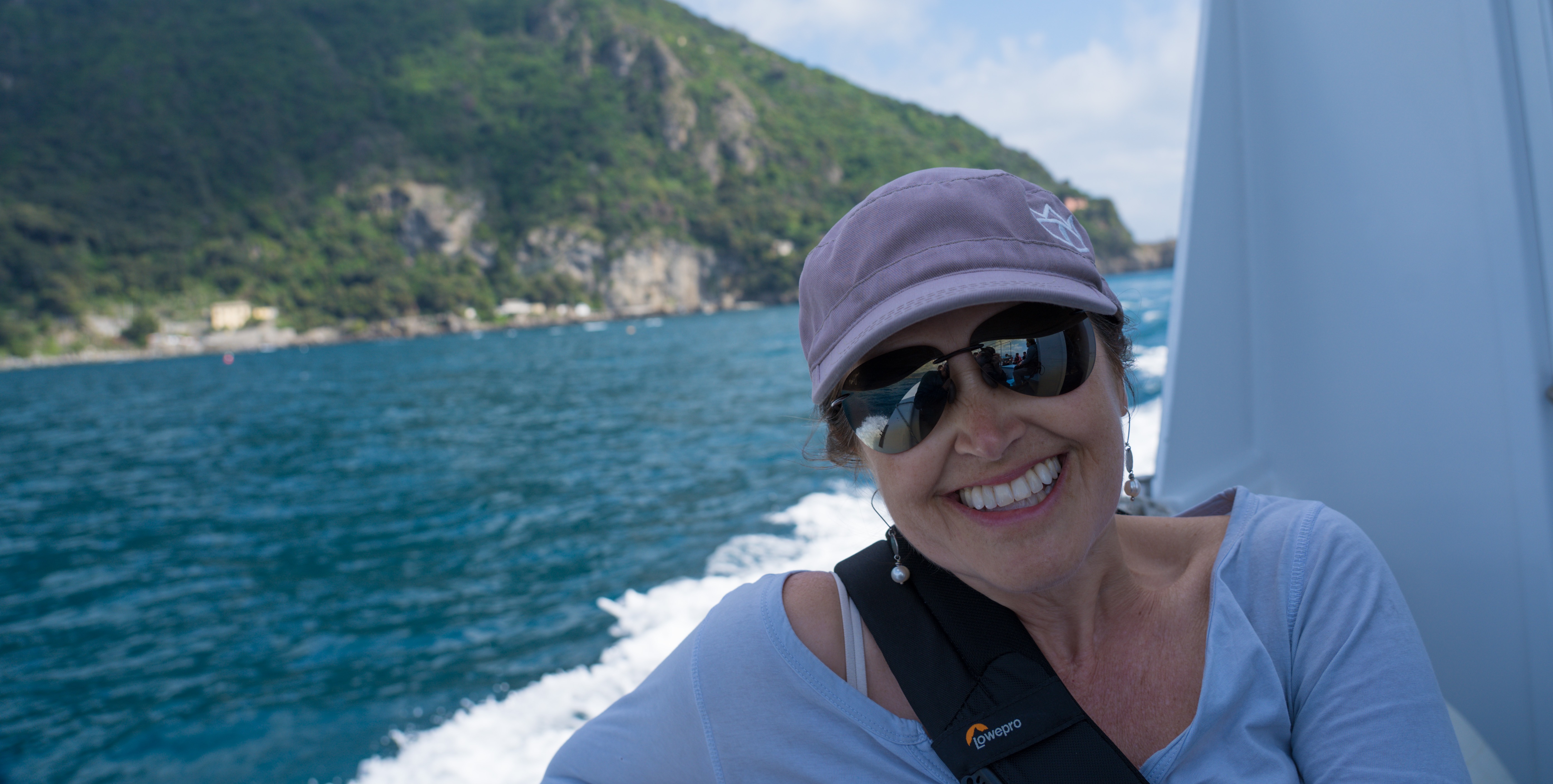
Without much of plan, we headed off down along this fabulous coastal path, then as we got to sea level noticed a ferry coming in. We both looked at each other and went “why not” so we jumped and were carried around to the harbour of Camogli in style.
Twelve euros later we have bagged ourselves a couple of spots on a boat trip
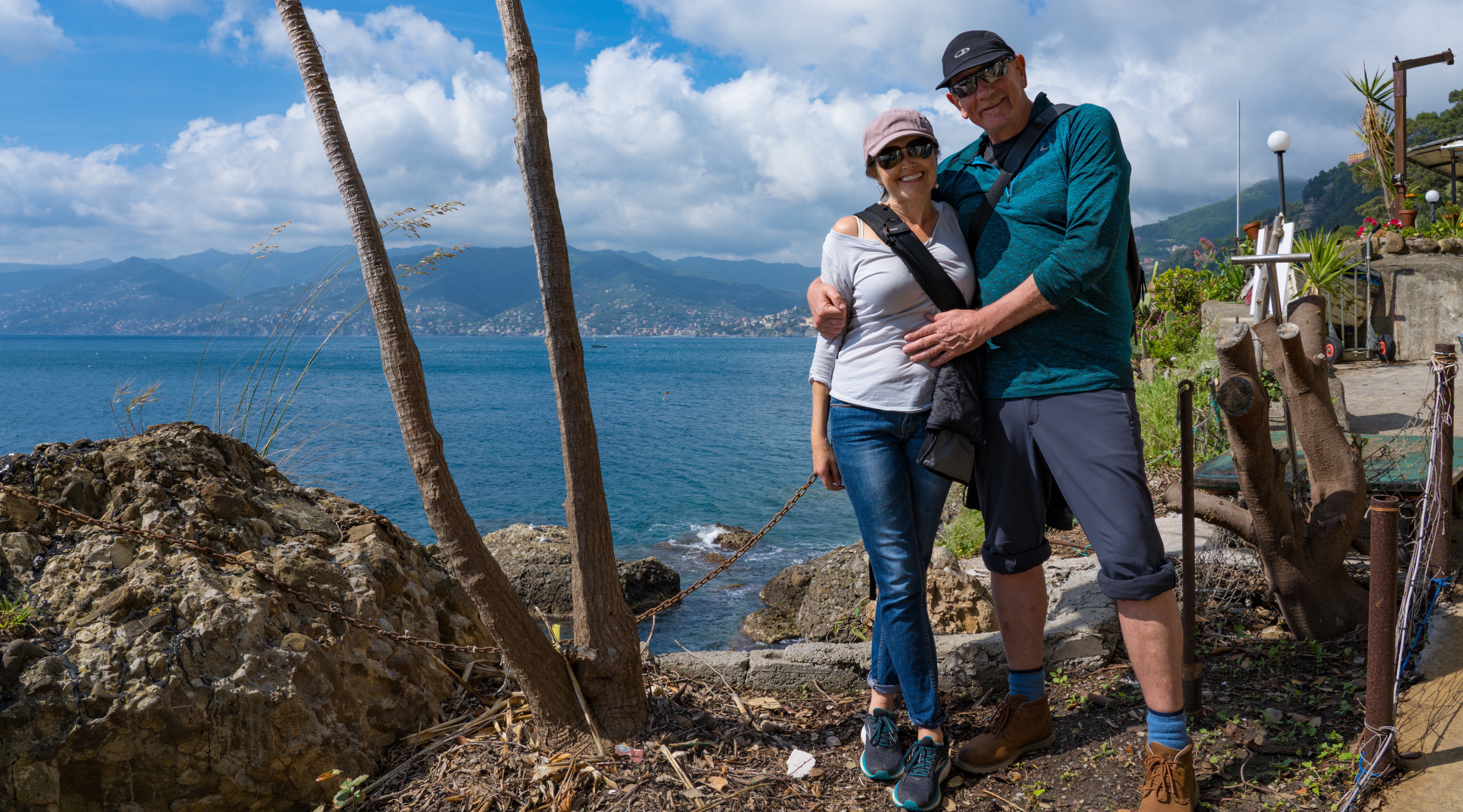
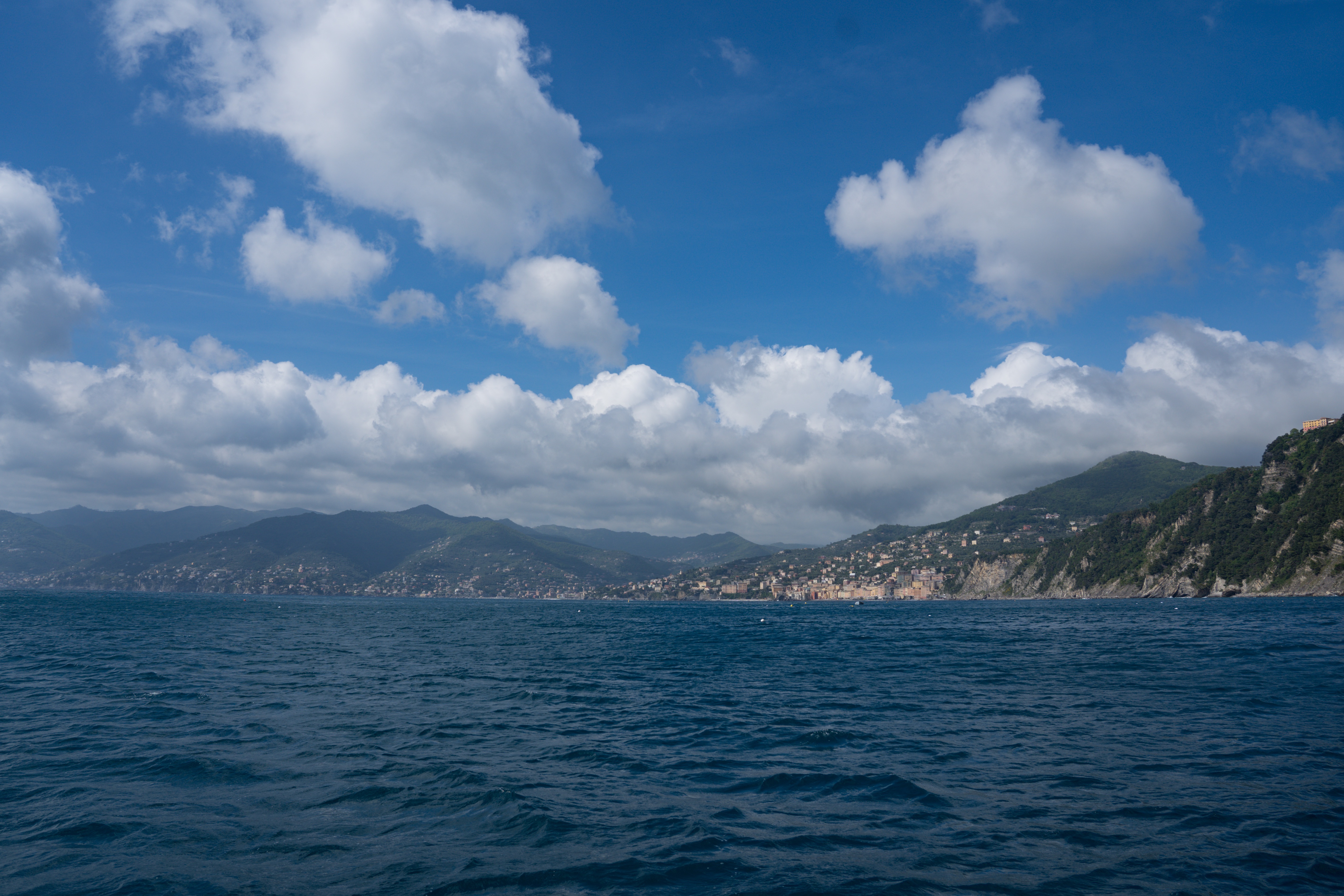
Portofino Promontory in the background
Love a good boat trip!
Coming into Camogli harbour
The moment we saw this place from the water we loved it. It had a genteel calm, without tour buses, and with a real authentic air of still being a working town. Some guys were just heading off to fish as we landed. I’m amazed there’s any left to catch!
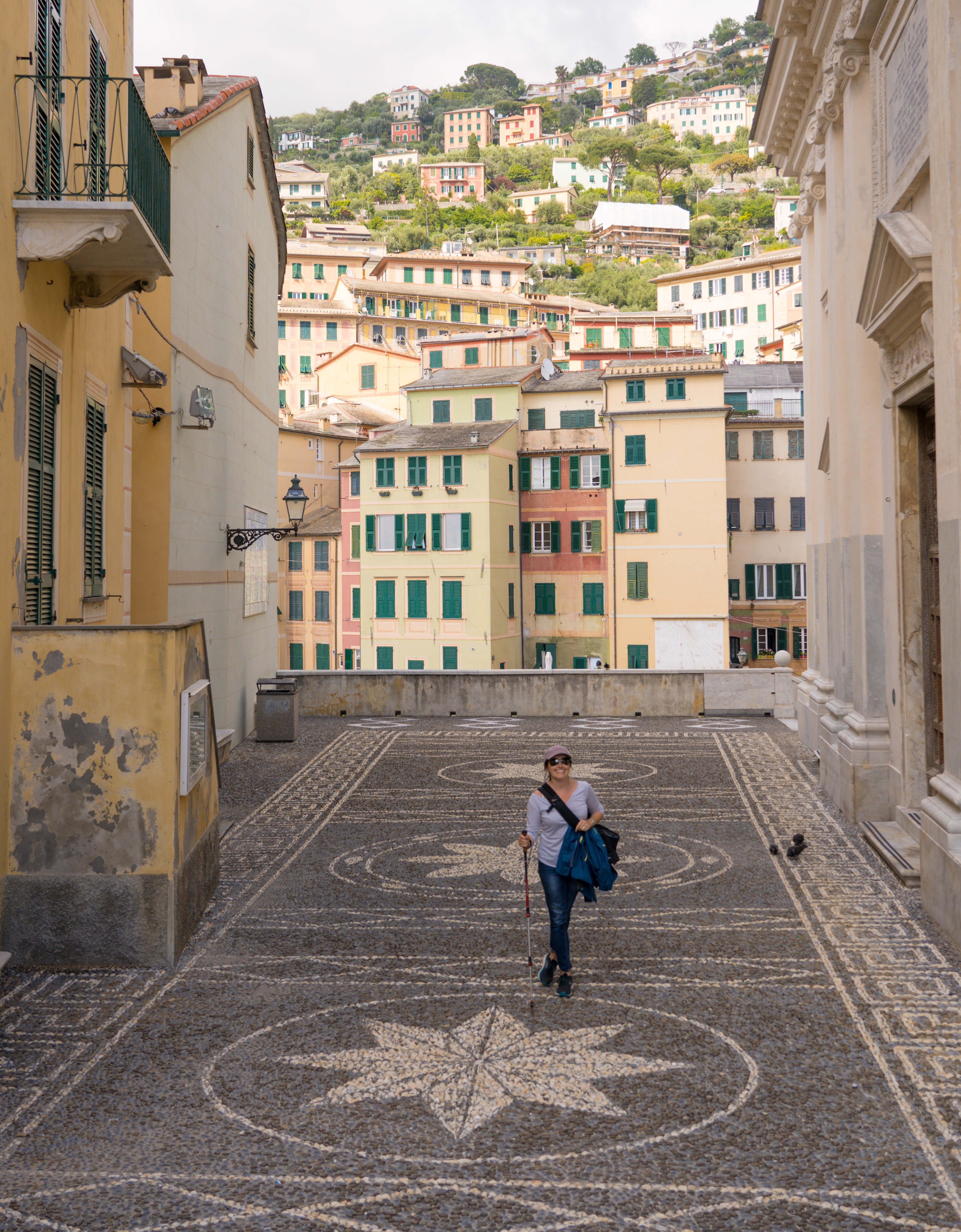
We strolled around and immediately decided this is somewhere we could happily spend as week relaxing in. When I started to write this blog and read about the town, so many people described it as “undiscovered”, well by non-Italians anyway. It sure felt that way.
Exploring the town
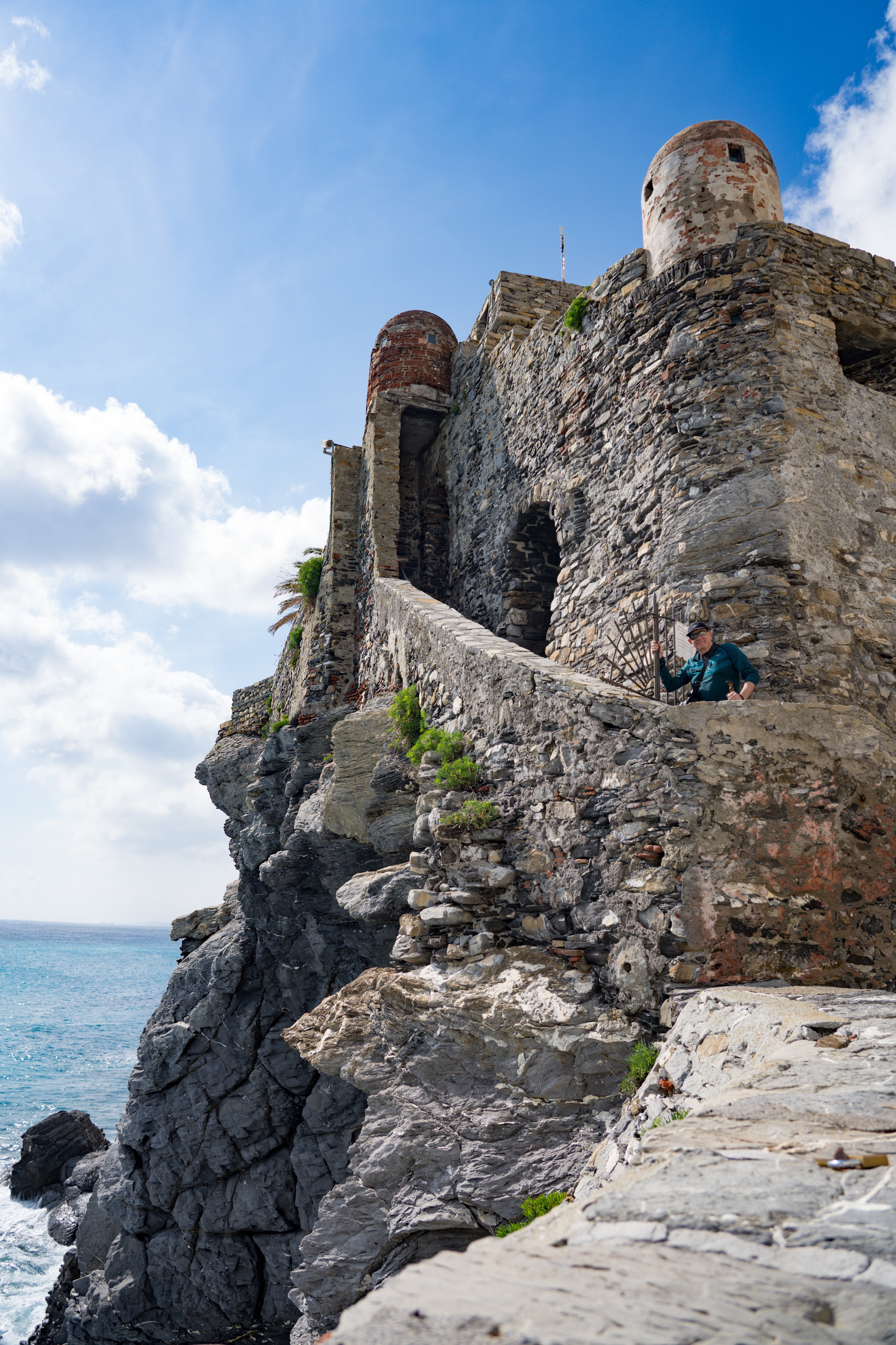
Castle della Dragonara, built in the early 13th century, a fabulous entry to the harbour
Looking back out towards our home for the night – the clouds looking like they are descending
Feeling such an affinity with this village
Bagni Lido – the public beach
Reluctantly we headed back up to our car park, via 896 steps…we were ready for dinner by the time we climbed that lot.
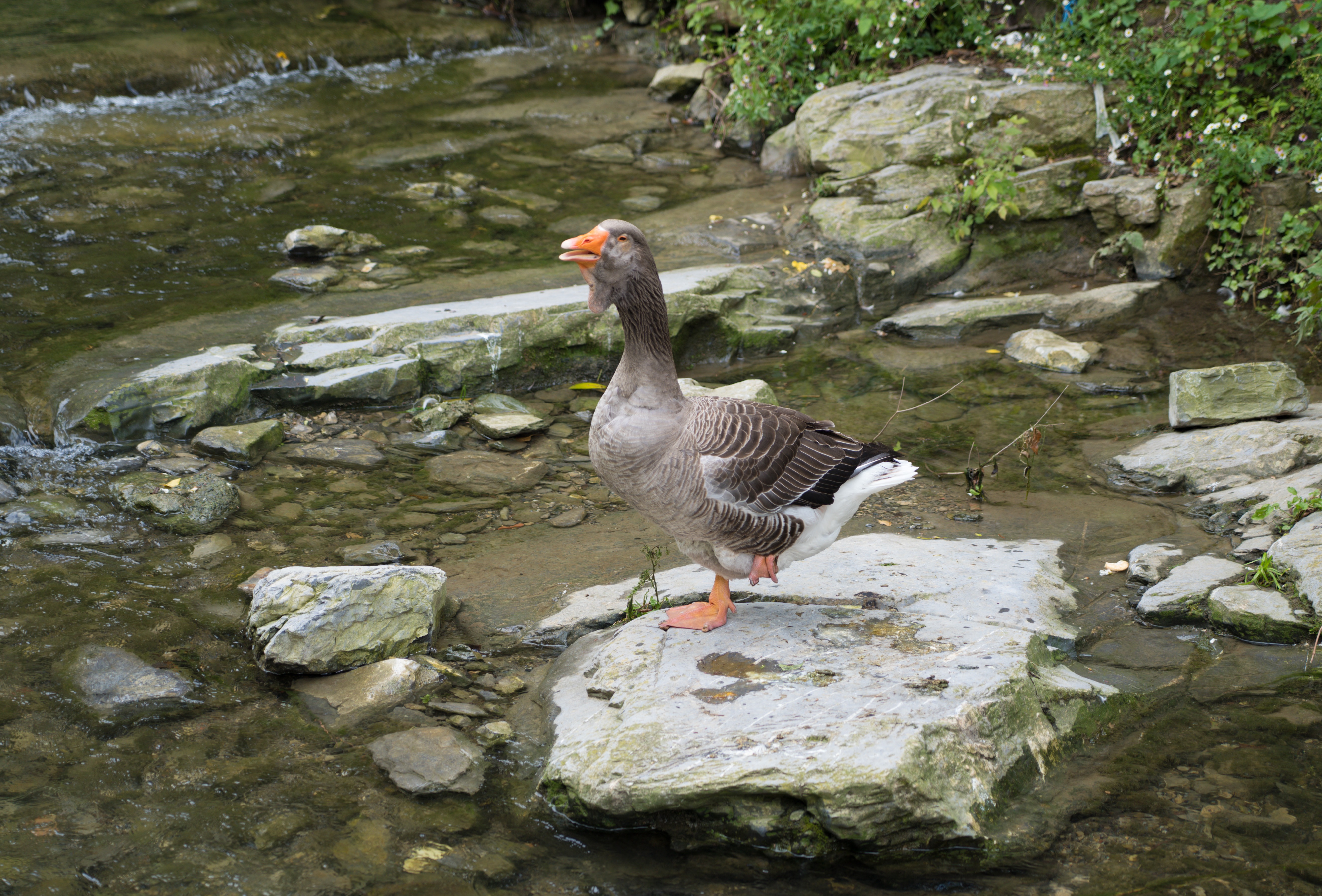
A noisy Bean Goose shouting in the stream through town
Up and up the path went…
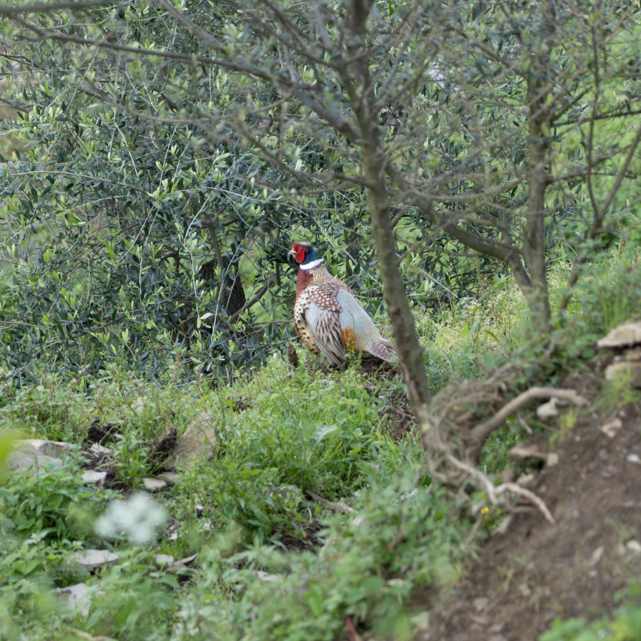
Fat pheasant in amongst the olive groves on our climb up
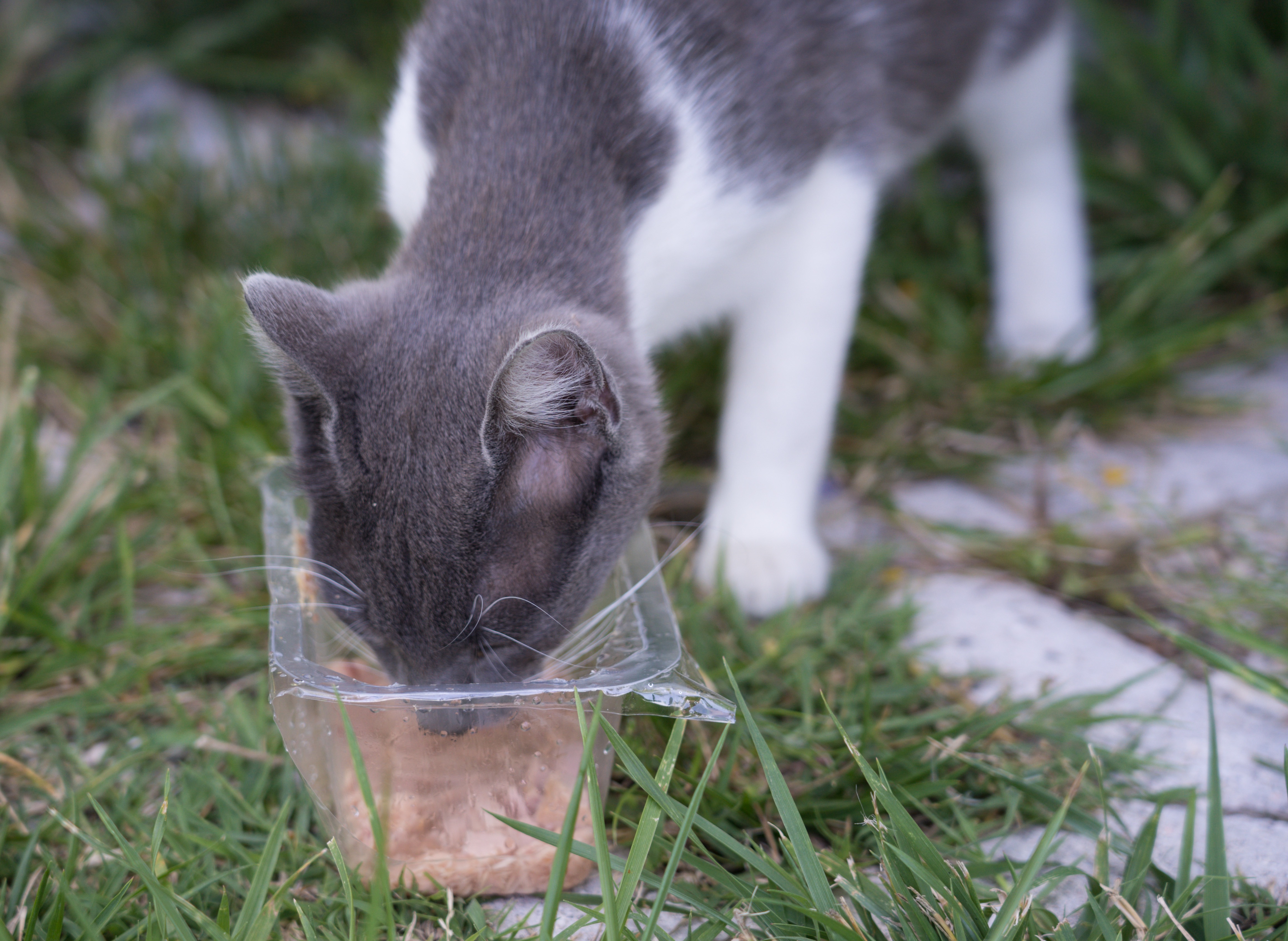
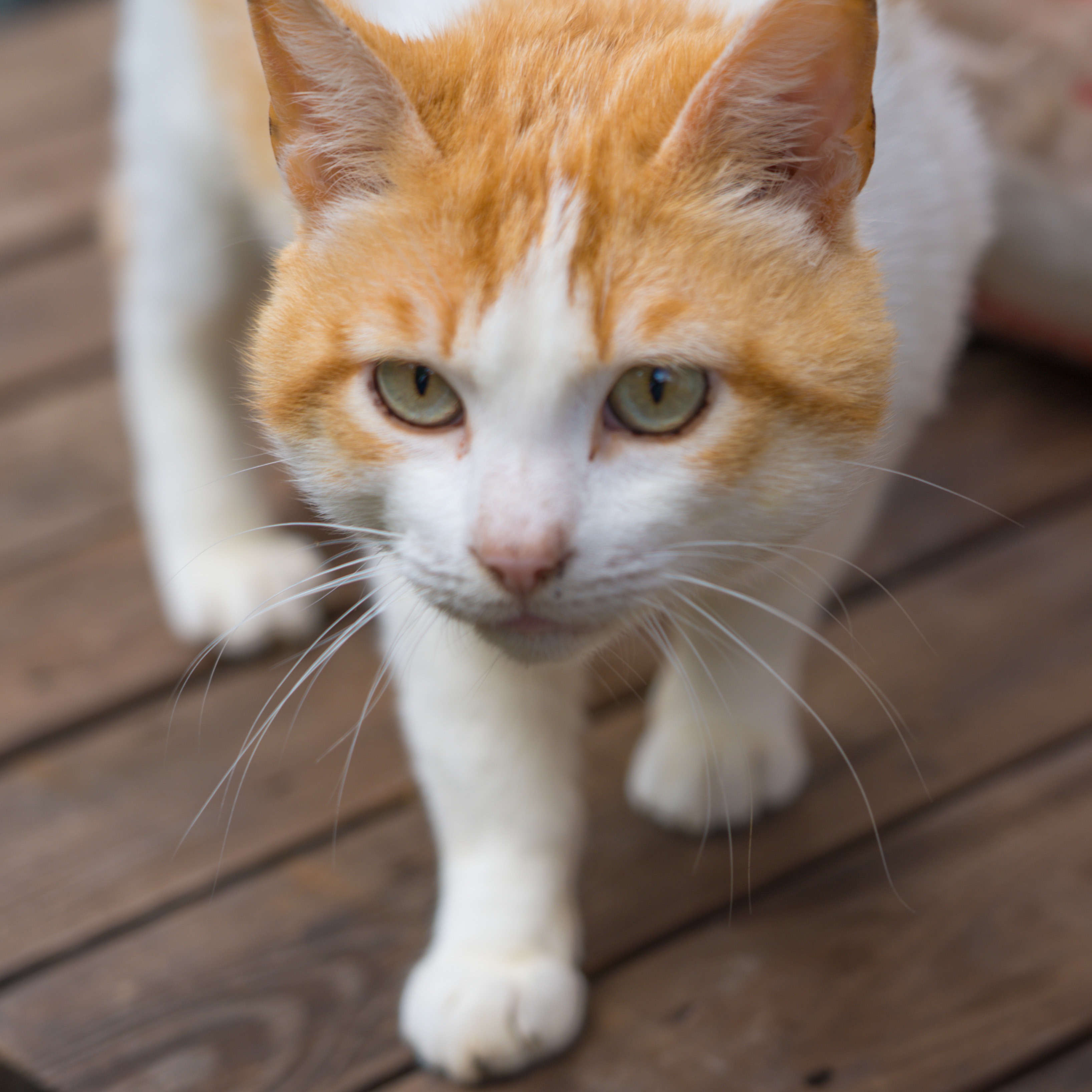
May I have some treats?
Yes…Mr A does carry cat treats in his bag!
We discovered Italian cats know the universal sound of cat treat bags…
Camogli, thankyou for giving us such a great memory to take away. I hope you don’t change too much too quickly.
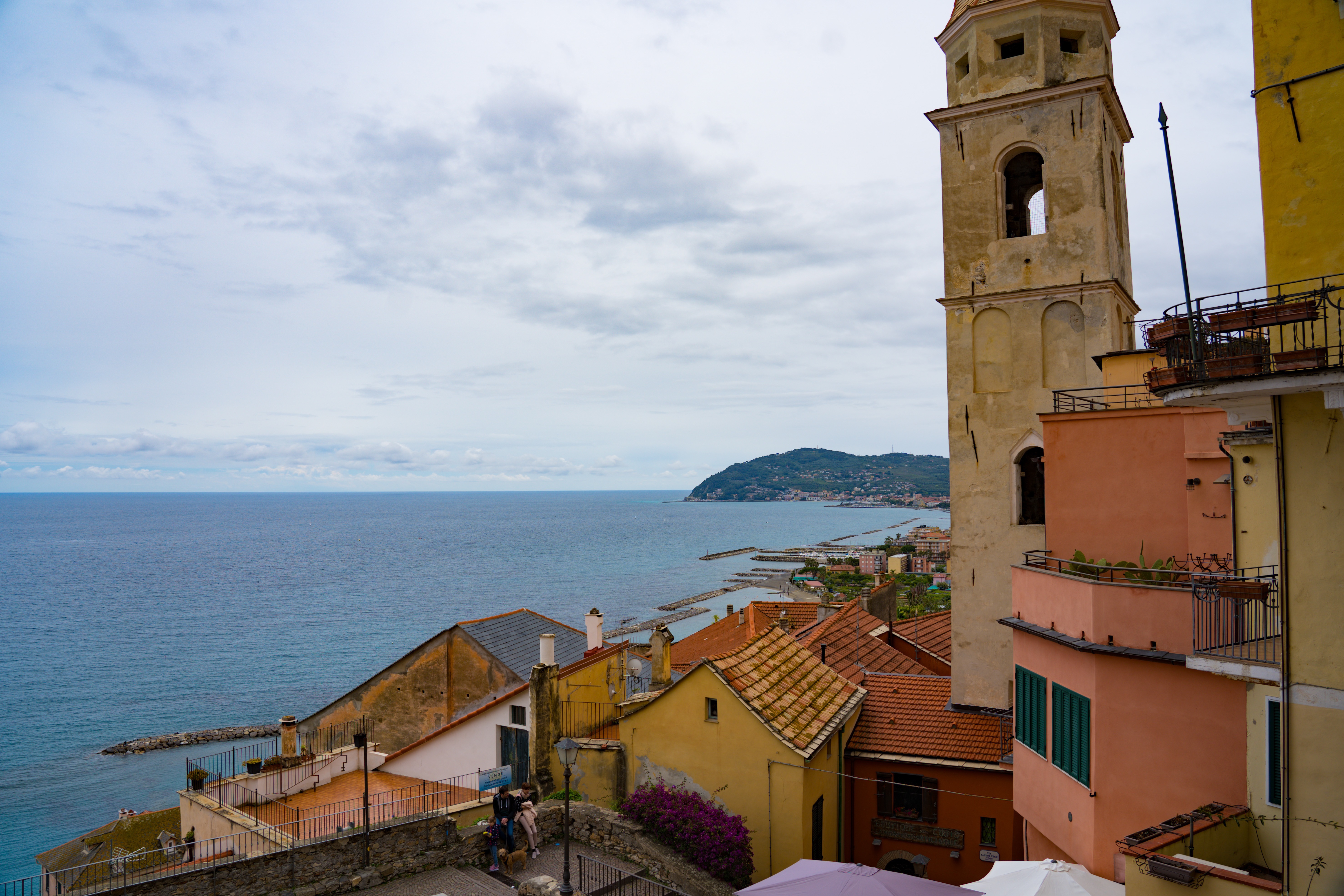
Location: Cervo, San Bartholomo al Mare & Diane Marina, Italian Riviera, Italy
Sunday: With just an 18km journey between locations, it was one of our shortest journeys yet, but not without its challenges! We followed a busy stream of traffic and our Google directions down a one way road, which appeared to get narrower and narrower with a line of parked cars down one side and a wonky stone wall on the other.
We pulled to one side to assess our options. With traffic constantly coming down the road, reversing was going to be impossible without significant help…and going forwards looked equally daunting without potential damage to Truffy and/or parked cars. Not a fun situation.
One of the cars passing us slowed and wound down his window. We half expected abuse for blocking the road, but no, the Italian driver told us that the road is not as bad as we thought, and that as a motorhome driver himself he was confident we could drive down safely. Mr A bravely took off, me walking in front, letting him know how much space was either way. To increase stress levels, a bus was following us, but amazingly was very patient. When Mark pulled over on a wider piece of road, the bus driver even indicated he understood the caution and gave me a thumbs up. Phew! Another skilful negotiation of a tricky road – absolute kudos to Mr A for excellent driving. We could not imagine such patient drivers in Sydney – they’d be much quicker on the horns!
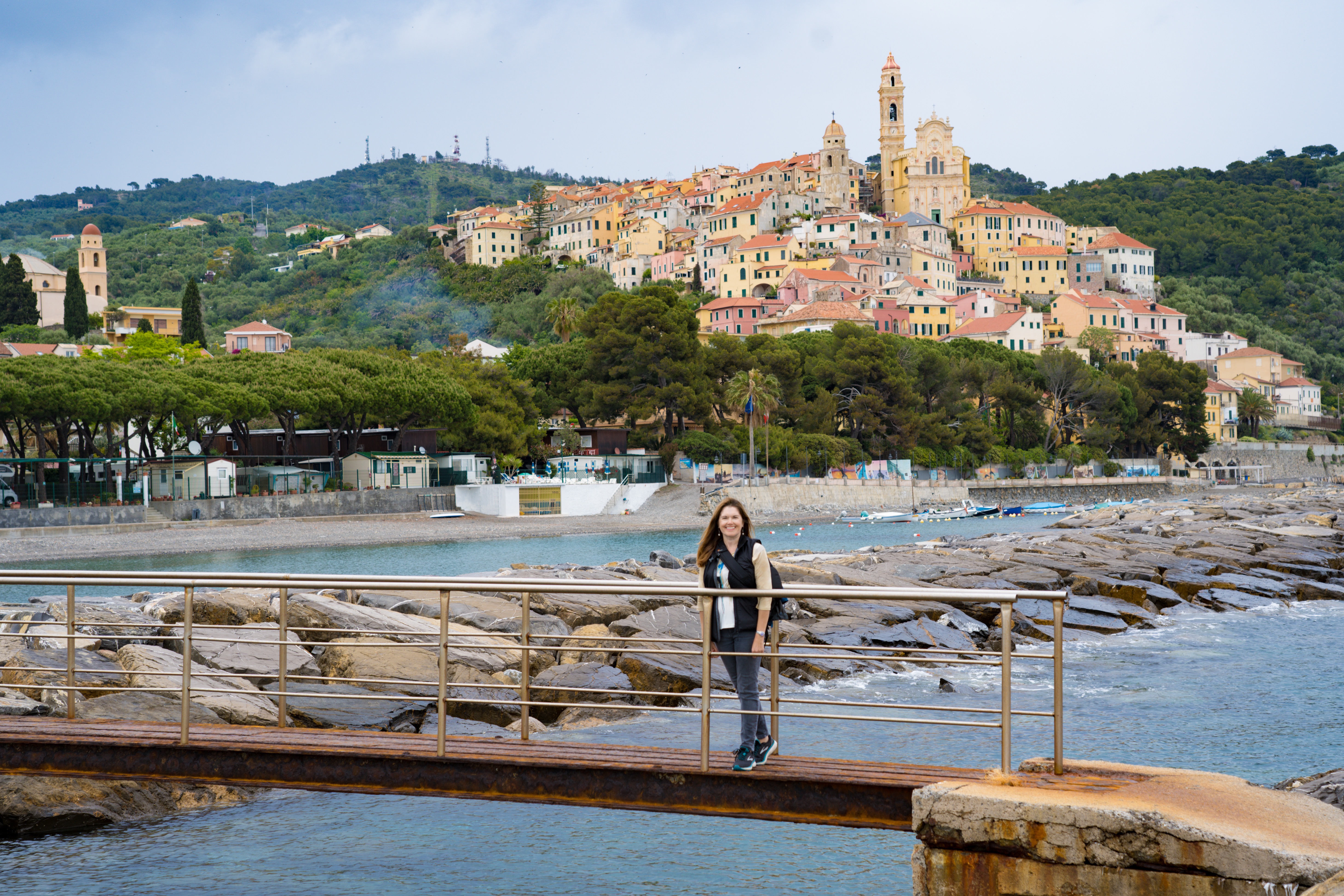
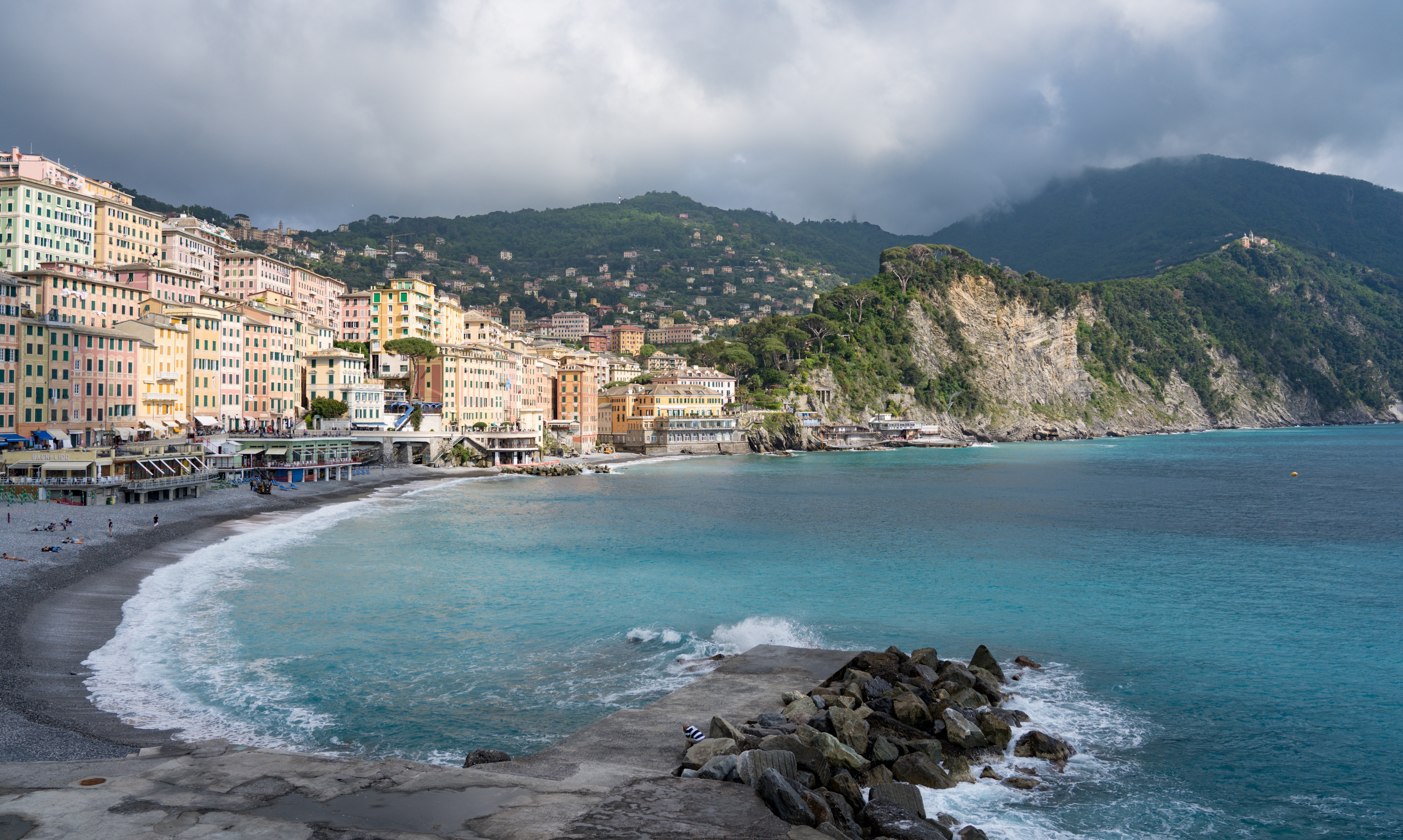
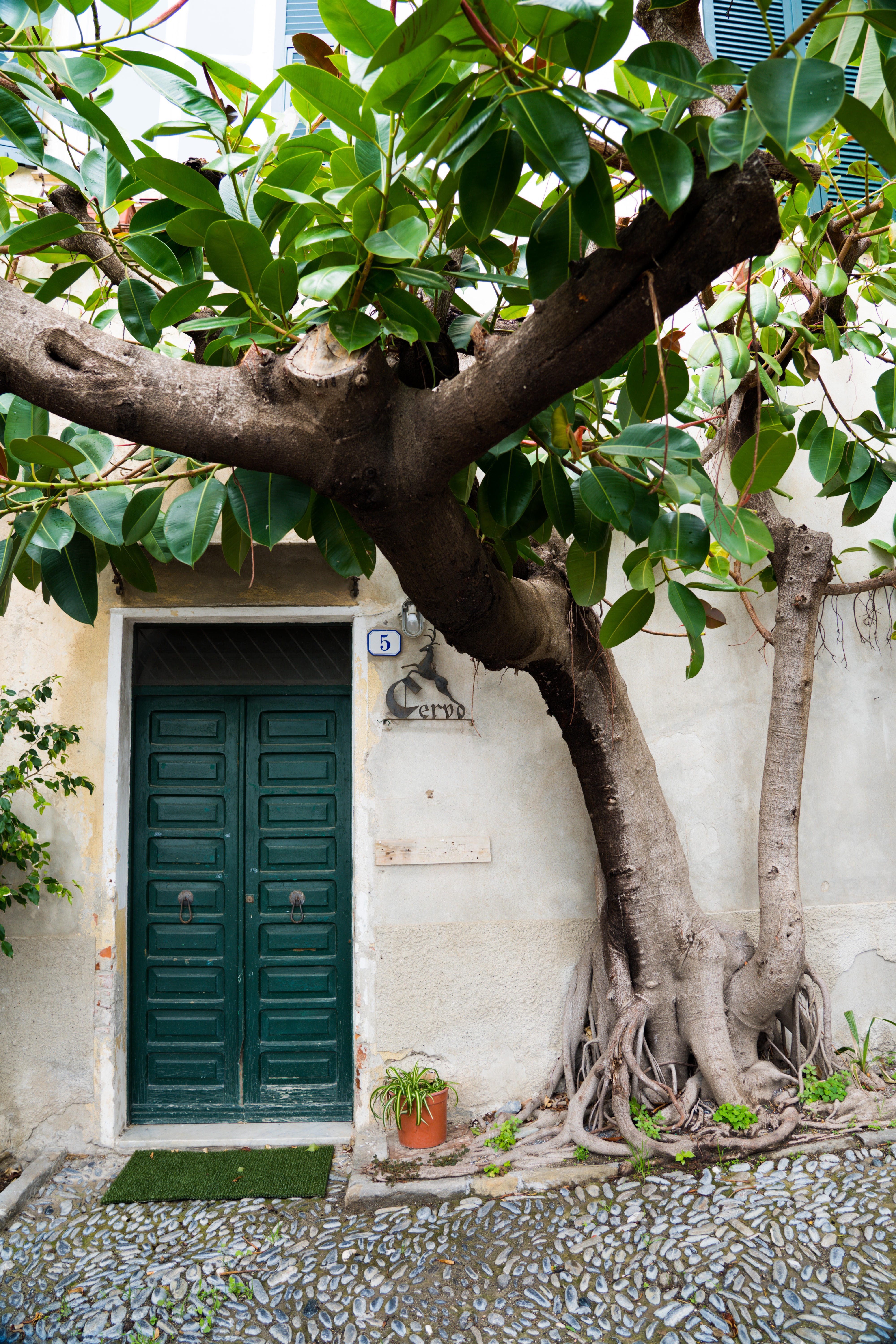
So we arrived at our next destination with no damage done, a campground beside the beach 15 minutes walk from the village of Cervo. We immediately set off to explore.
Stormy skies over Cervo but we didn’t get too wet
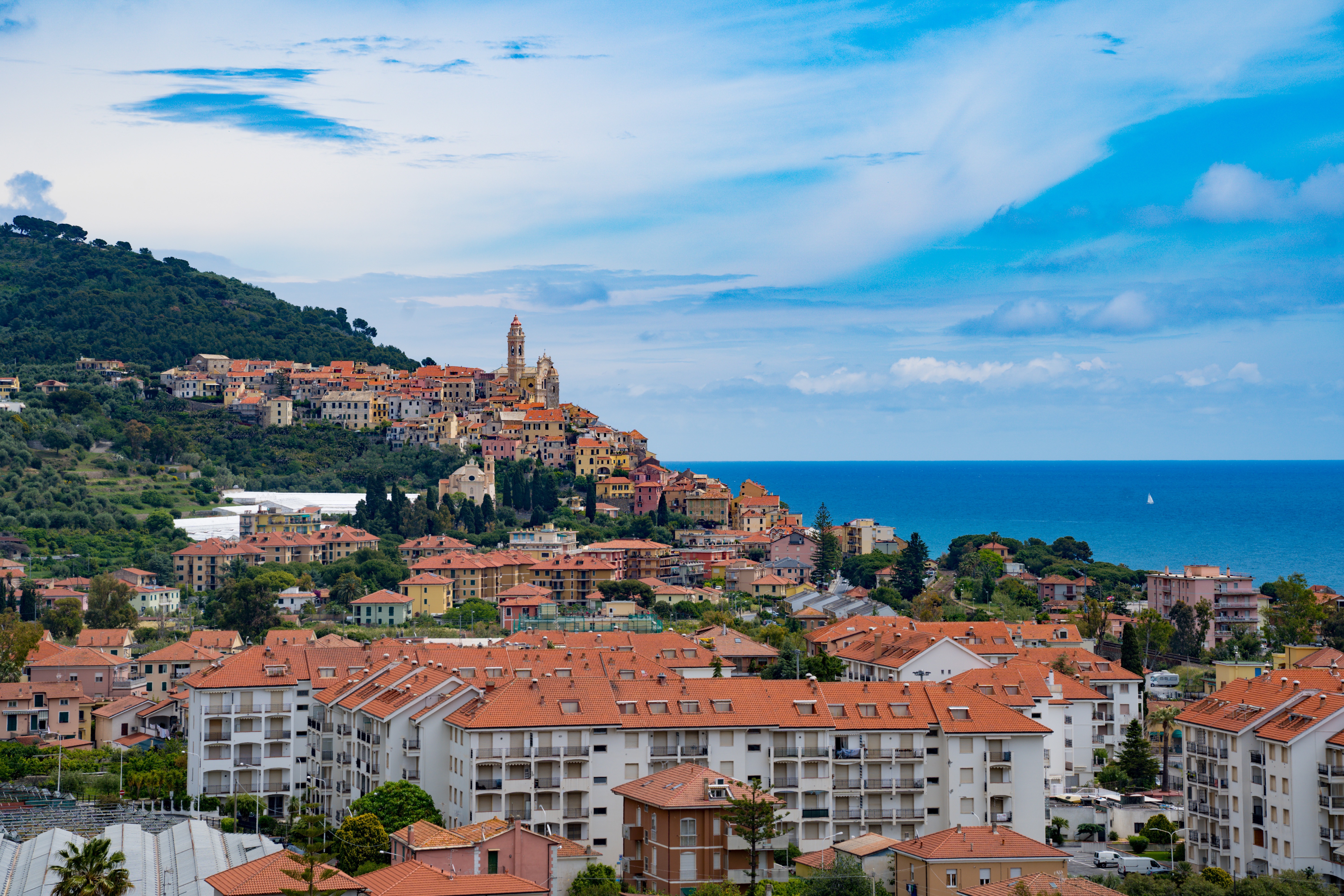
Cervo has around 1200 residents, many of them artists, sculptors, wood carvers, painters and jewellers. The village largely built up around an initial Roman villa more than 2000 years ago. Like France, Italy has a ‘most beautiful villages‘ classification and Cervo has well deservedly achieved that recognition.
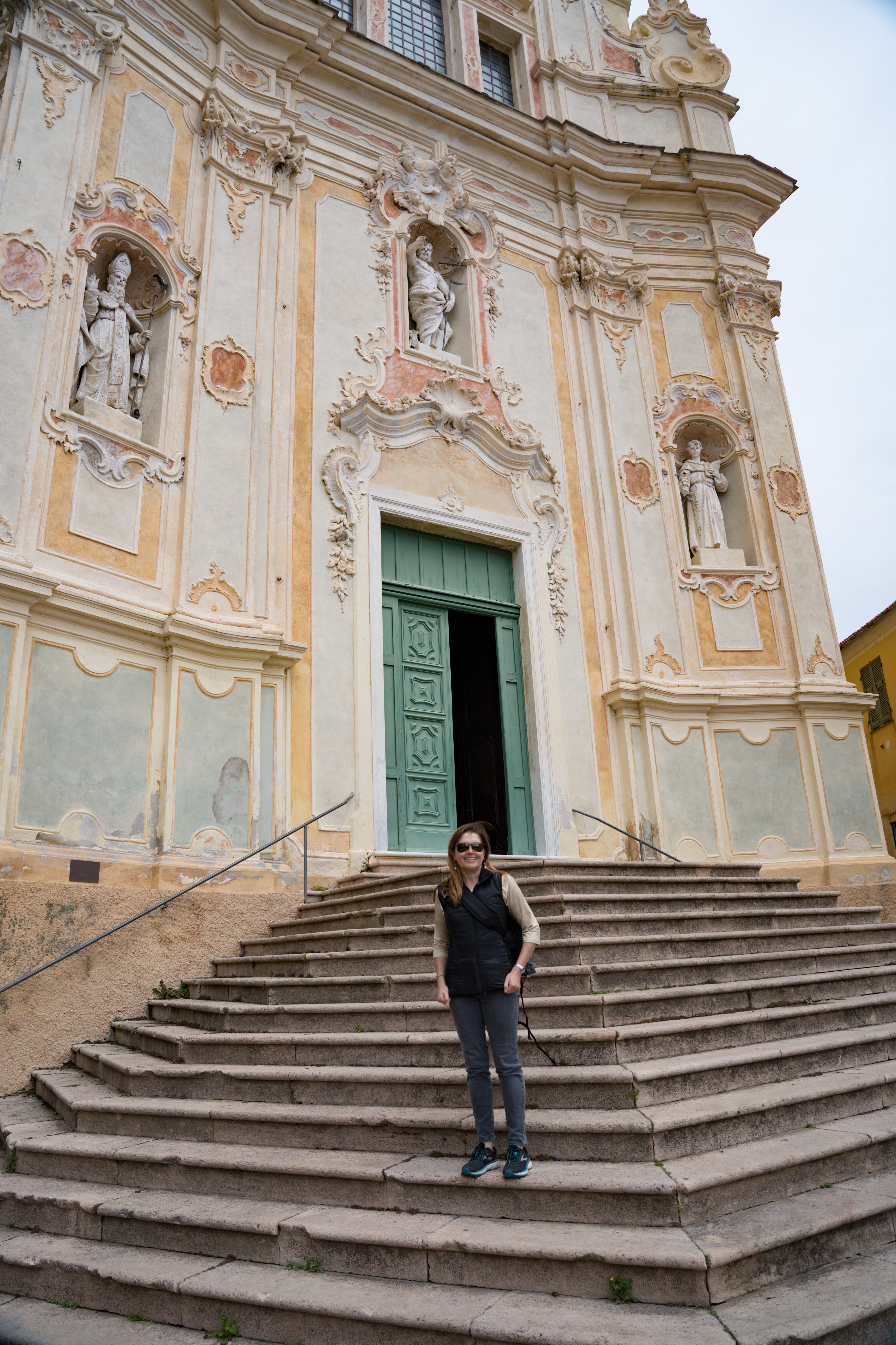
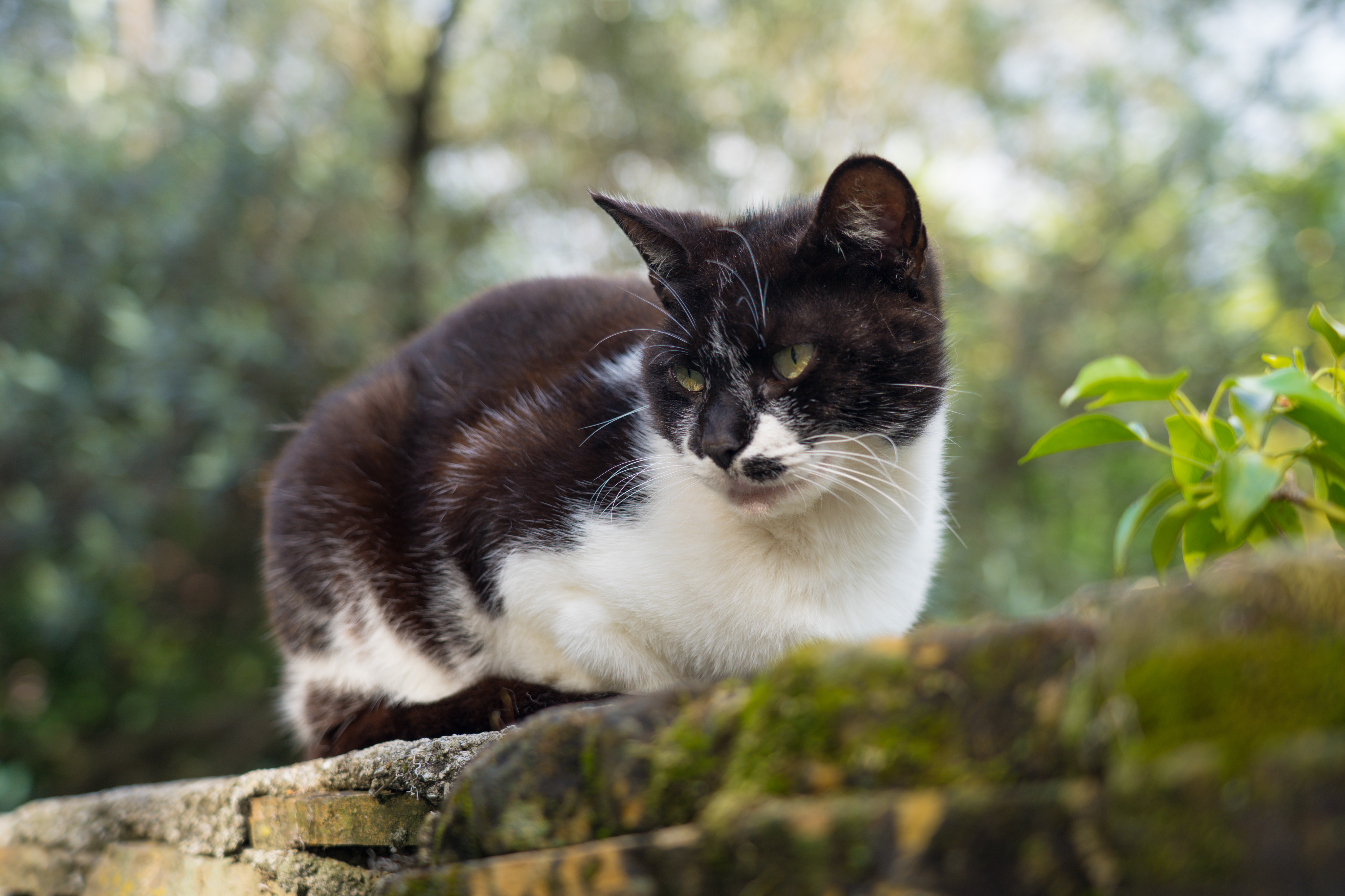
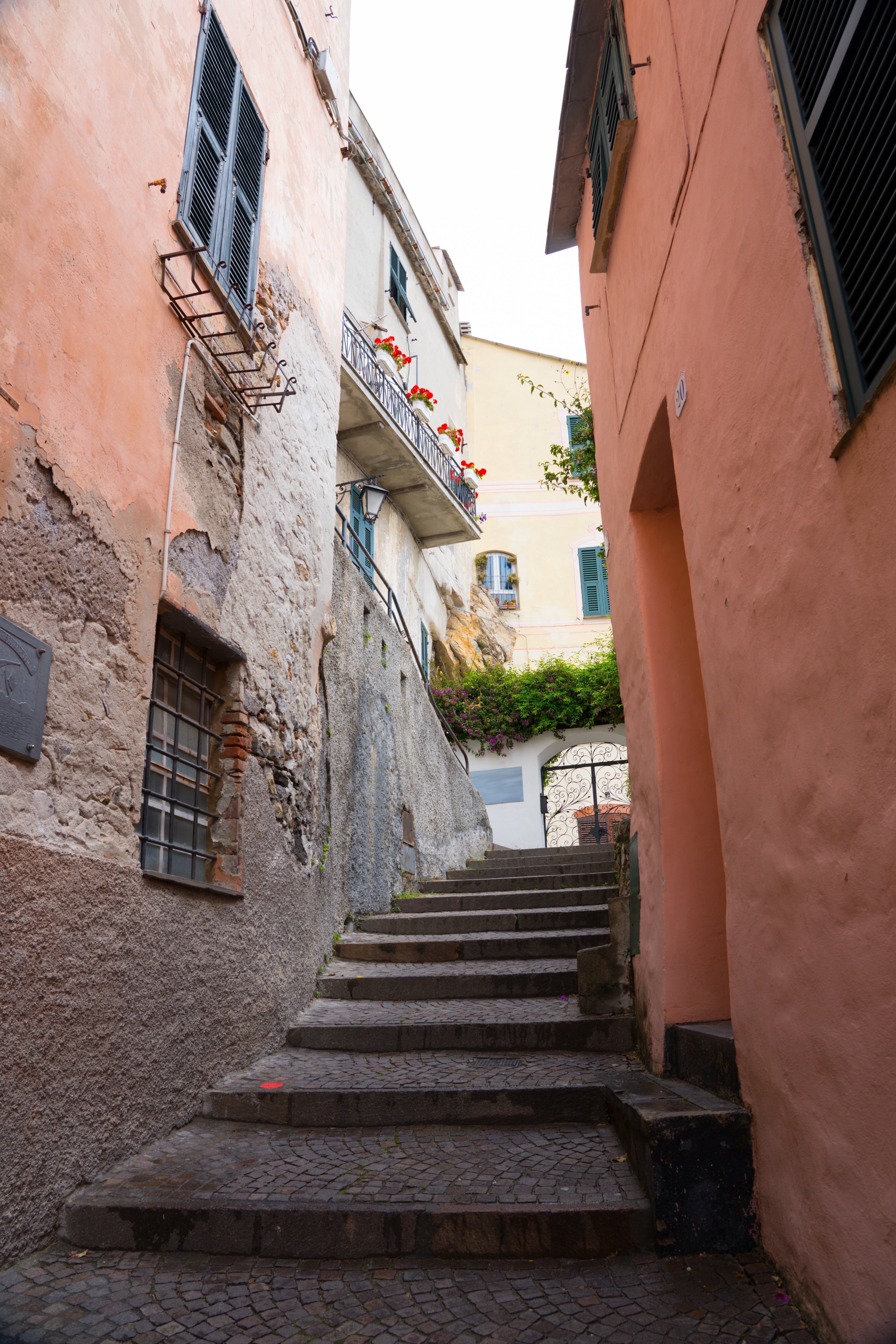
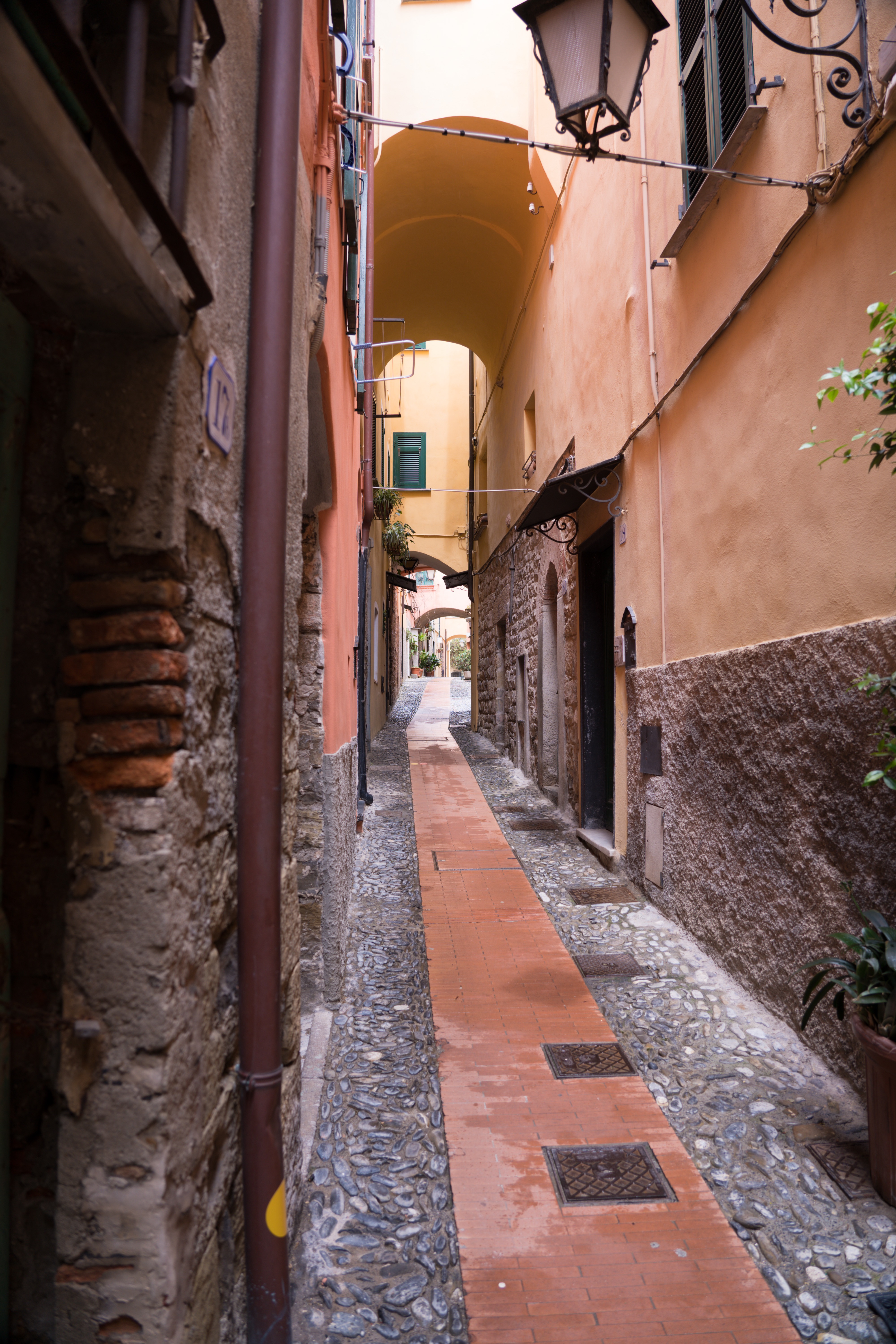
The streets are very steep, and at the moment I am not breathing too well…but made it with a little wheezing. Mark is suffering with tendonitis in his calf, so also struggled up the streets – not doing brilliantly between us! It was well worth all the effort though, with gorgeous views, interesting little alleyways and of course the friendly village cat there to meet us at the top!
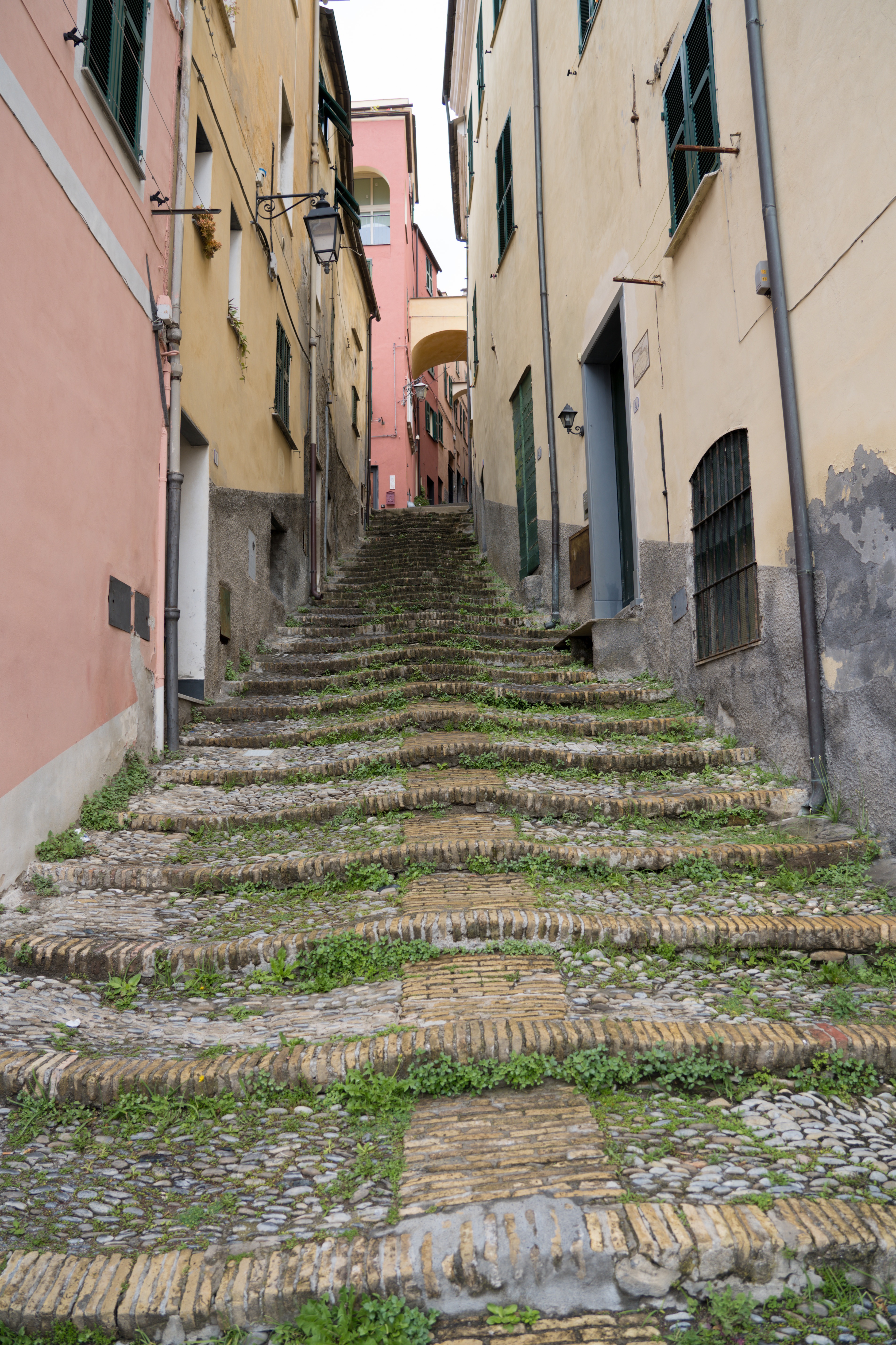
Curvy cobbled steps lead us up into the village
A well looked after village, touches of colour and flowers everywhere
Trees growing on seemingly impossible surfaces
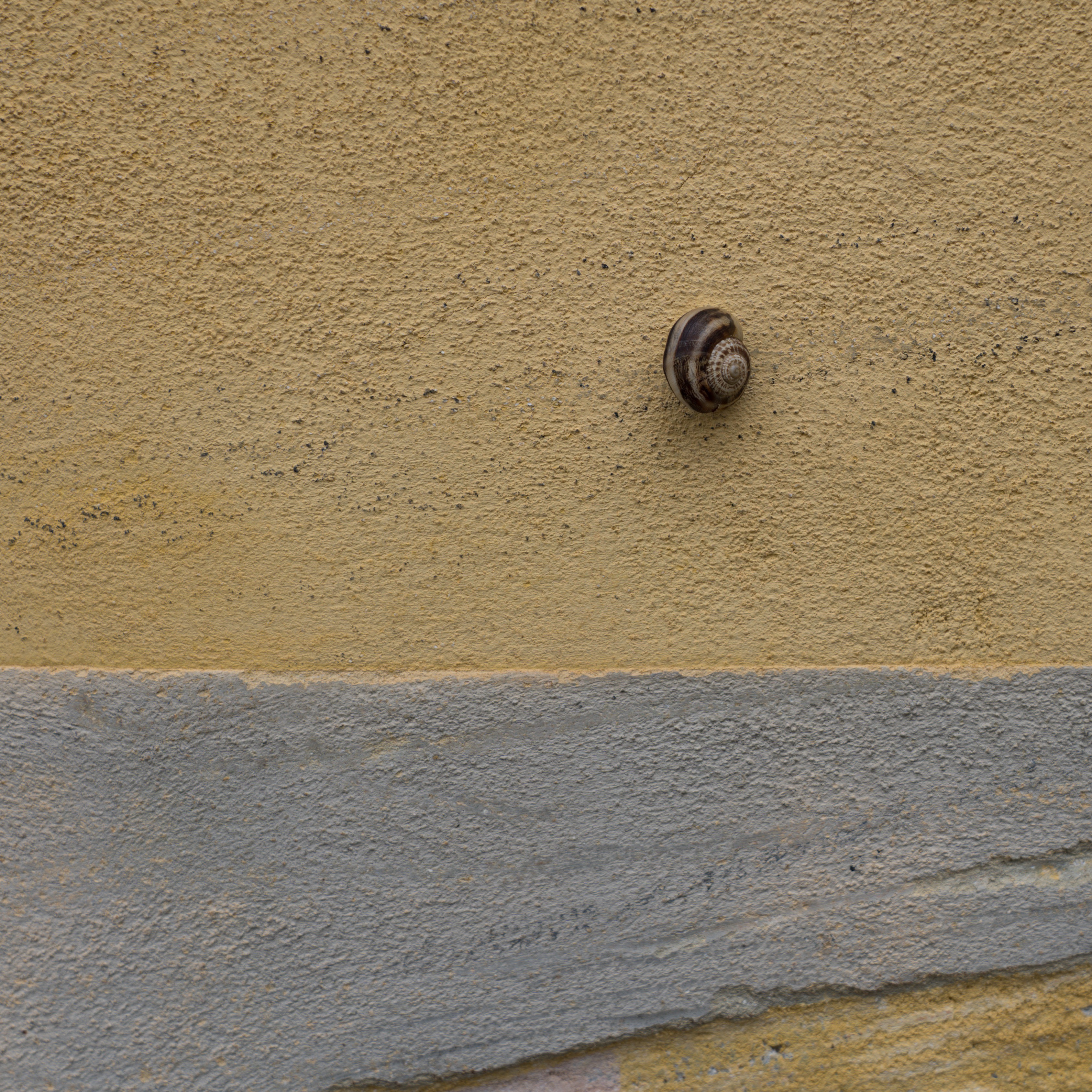
Even the snails are colour coordinated
Endless beautiful laneways enticing us down
You can almost imagine the lives that have taken place in these streets over the centuries
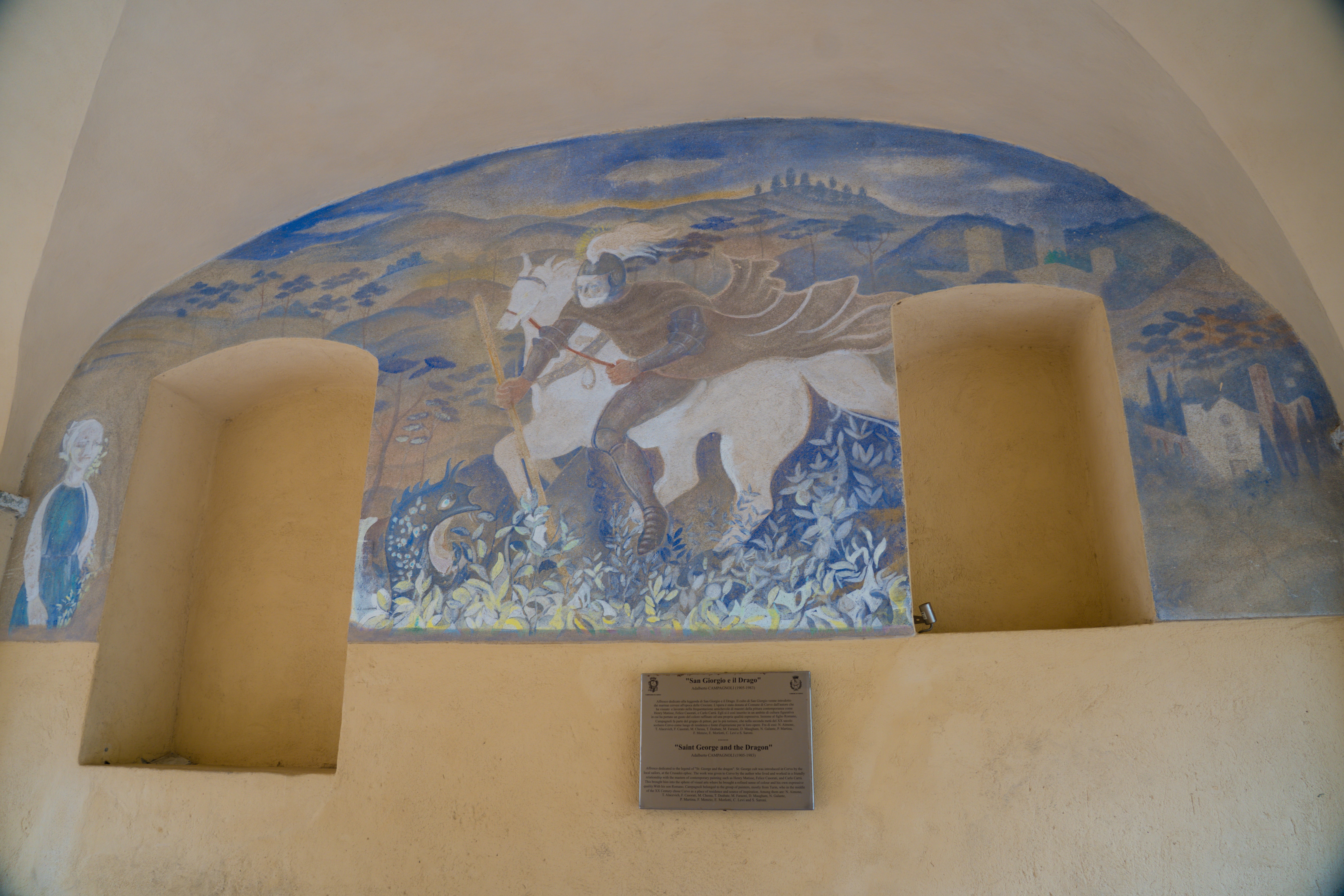
‘St George and the Dragon’ mural painted in the early 1900s after sailors from England shared the story with local artists
Fortified walls evident at the top of the village
Italian cats say ‘Ciao’
A fine view from outside the church
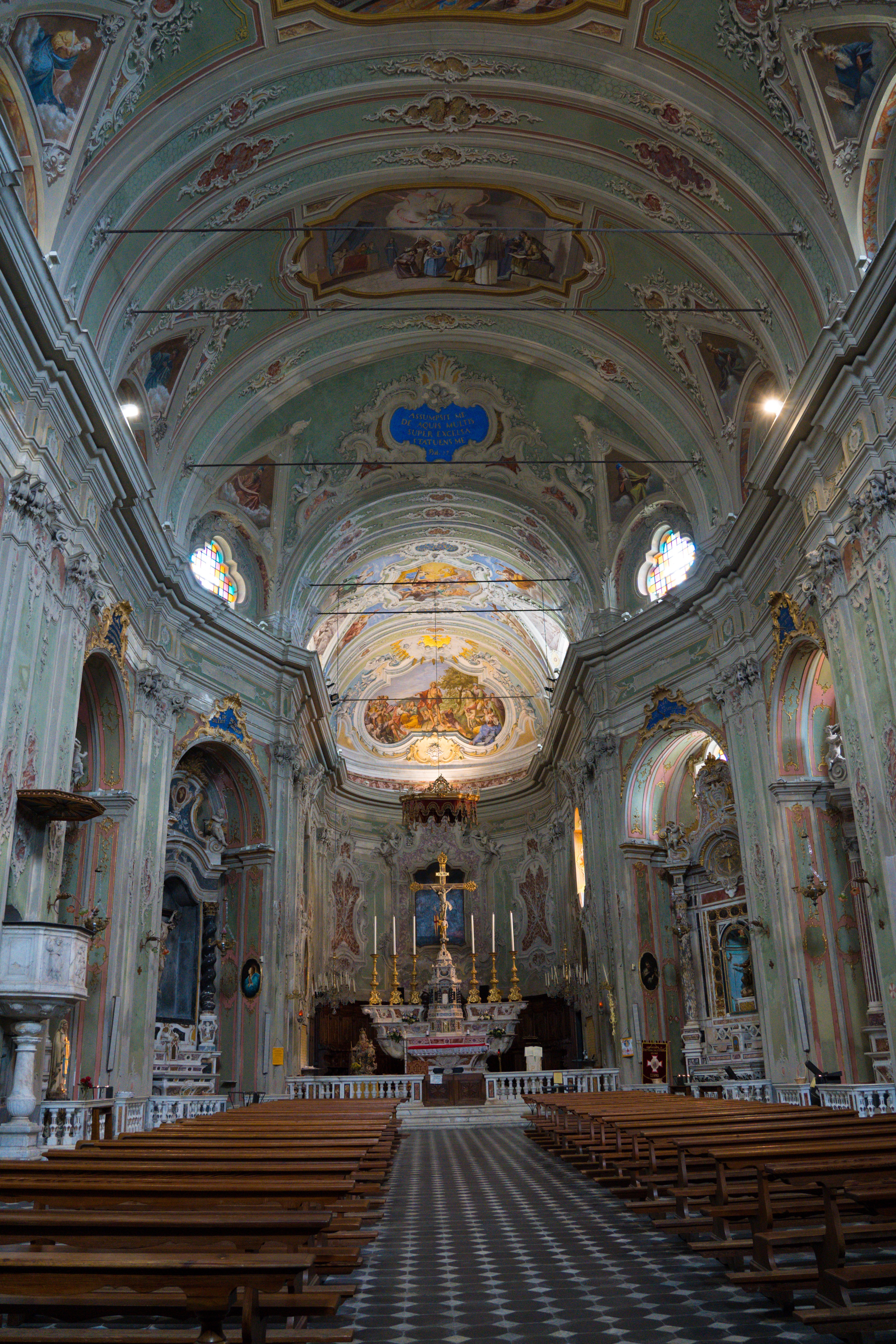
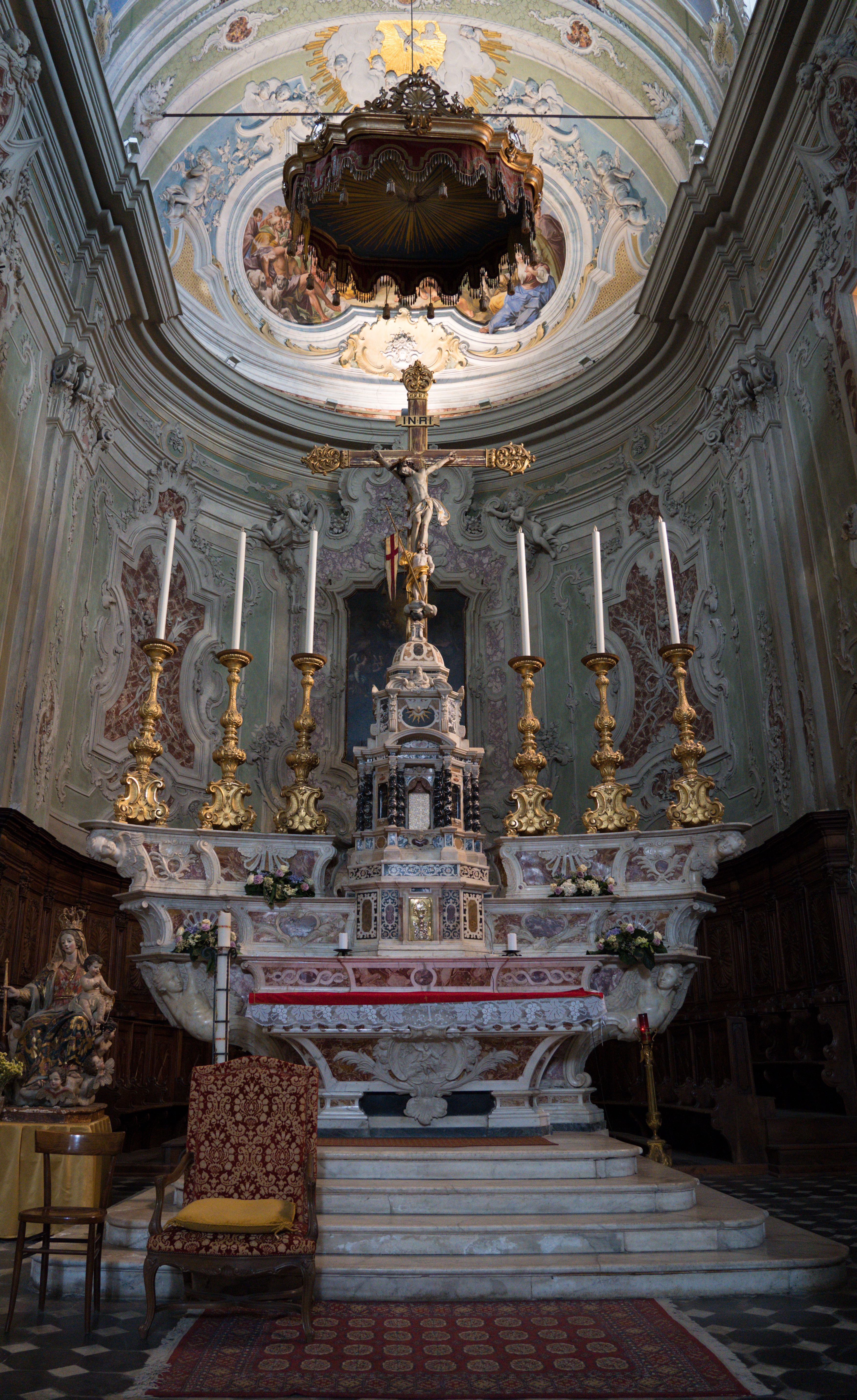
One of the key highlights in the village is the Romanesque Oratorio di Santa Caterina church. You don’t have to be religious to appreciate the historical and artistic significance of this magnificent building, having pride of place looking out to sea and covered with incredible frescoes (mural paintings painted on plaster).
Heading up into the church
Incredible frescoes cover the walls and ceilings
A grand gold and marble alter
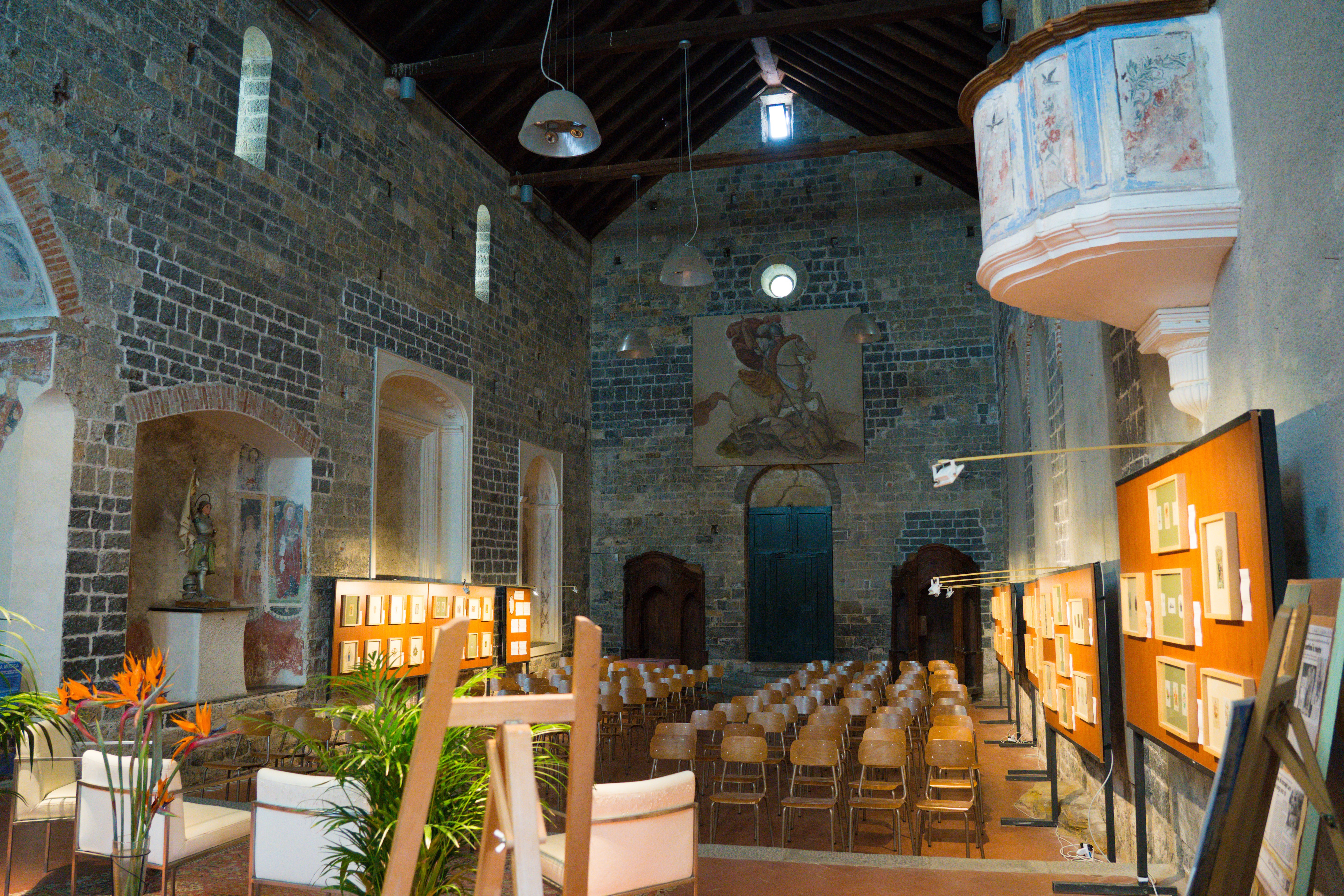
The equivalent of the church hall, all set up ready for a conference
Such a picturesque area, with plenty of exploring to be done. We can only imagine how busy it gets here in the summer holidays, despite the fact that Cervo does not appear in the Lonely Planet and has a pebbly beach.
All this exploring worked up an appetite and we went along to Pizza Pazza, the restaurant right next door for dinner in the evening. Yet another fabulous meal, and again at a fraction of the price we would pay in the UK or Australia, including a bottle of wine.
Monday: Glimmers of blue skies greeted us so we leaped on the task of washing first thing. Once everything was either hung out or dried we decided to go exploring in the other direction, biking our way to the next little settlement, San Bartholomo al Mare.
There are no bike lanes here, but the drivers continue to be quite respectful of cyclists, keeping their distance and no agression at all. This is all in absolute contrast to what we have been led to expect by the various blogs we’ve read – maybe our expectations have been lowered by our experiences on the road in Australia and New Zealand?
We took a random uphill road just to explore, and were soon making use of the motors on our electric bikes to take us up past gated villas with incredible views, meadows and Ligurian olive groves. It was all very picturesque.
Gorgeous views across to Cervo on our ride
Even ‘warm’ enough for shorts!
Garden like wildflowers along our cycle
Terraced olive groves are plentiful here with agriculture still a key source of income
Beautiful orchids growing by the side of the road
We then cycled up to the next settlement, riding up a cycle friendly pedestrianised area and finding a little pizza place for lunch – yes, they even did me a pizza without cheese! We both ordered the small portion, which ended up being absolutely huge. Despite the fact I only ate half, we had no need to eat for the rest of the day!
Location: Brighton, Hastings and Newhaven Ferry Port, East Sussex, UK
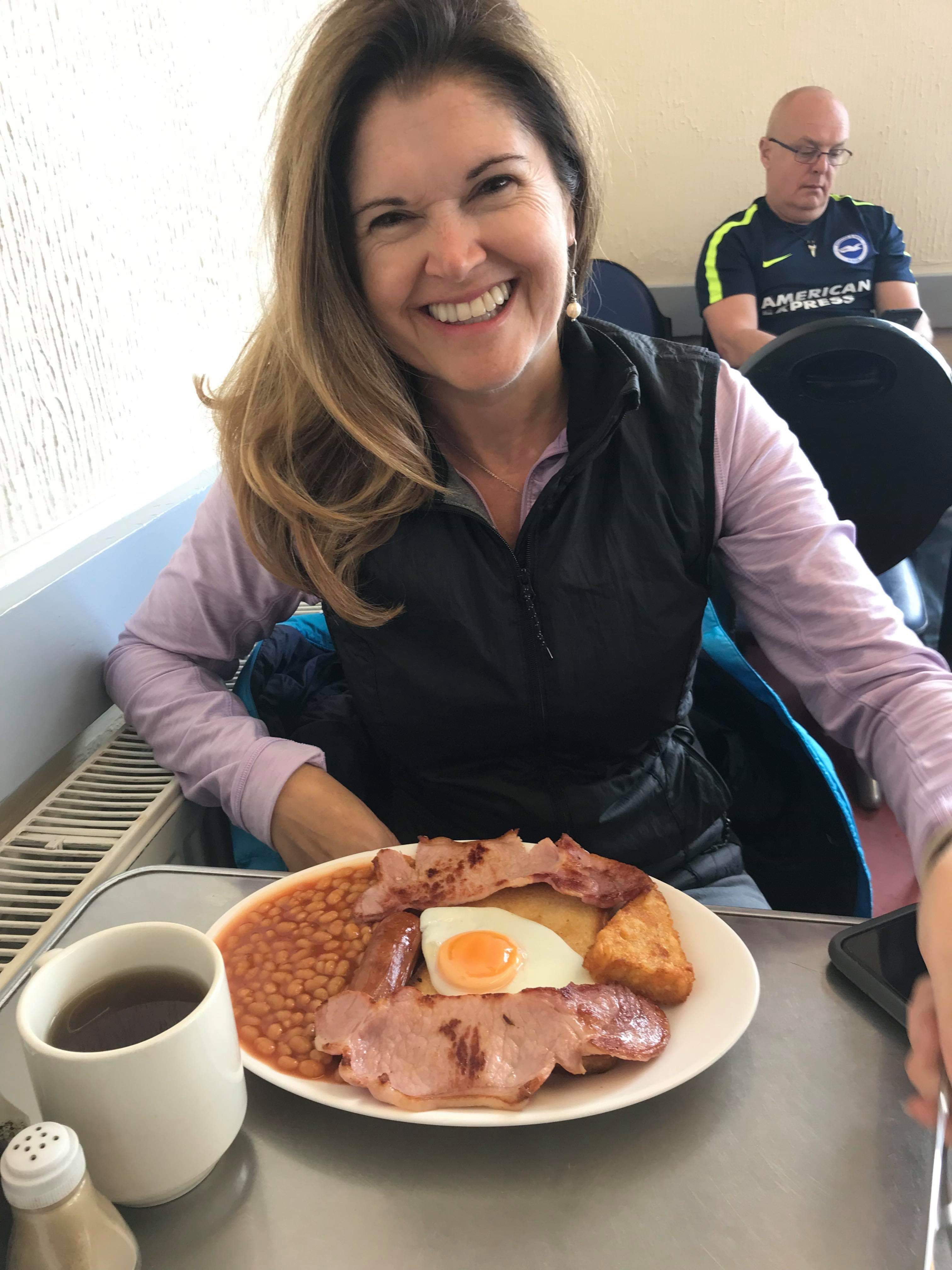
Saturday-Sunday: Before heading to Continental Europe, we spent our final weekend in Brighton with Catherine’s sister Helen and her family. London-on-Sea, as it is jokingly known locally, served up its usual eclectic way with everything from fine dining to a wonderful greasy spoon cafe for brunch.
Feeling a little neater after some haircuts
Catherine, Helen and Isabel – just the girls
Just a small brunch to start Sunday!
Miss Isabel ready to party – Catherine bravely accompanied her to a 5th birthday celebration, despite the promise of party balloons 😲
Then it was time to head along the coast to Hastings and Catherine’s mum, Jenny.
Monday: Catherine and Jenny visited her nearly 97 year old grandma, good genes on that side of the family at least!
Jenny looking radiant
96 years young, Jean enjoying the sunshine
Jean will be 97 in a few weeks’ time – this may be her first selfie!
A few more lovely home cooked meals from Jenny, and a chance to get some last minute tasks ticked off before we head over the English Channel on Thursday.
Young Marmalade enjoyed the mouse on a stick we bought for him
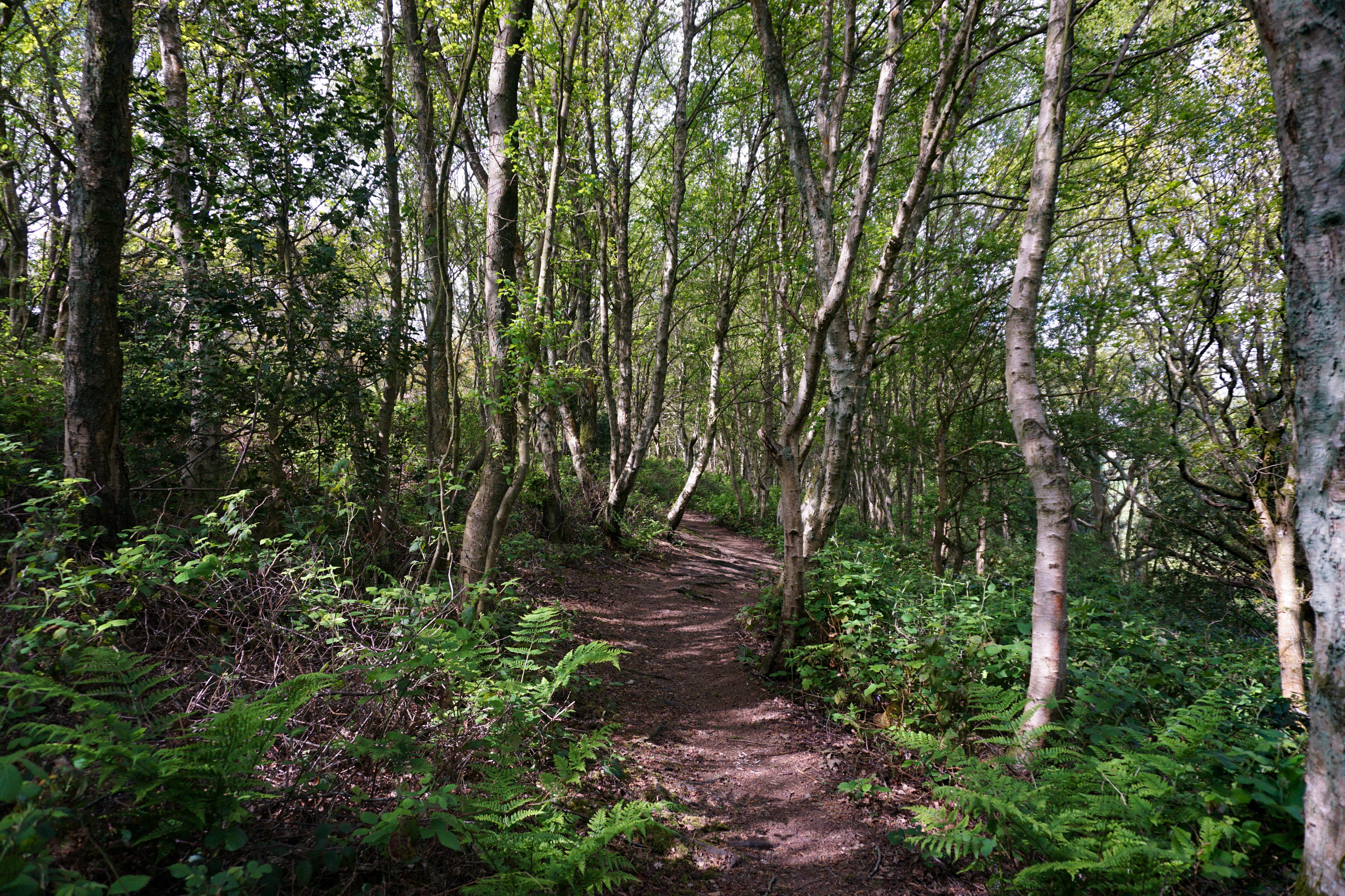
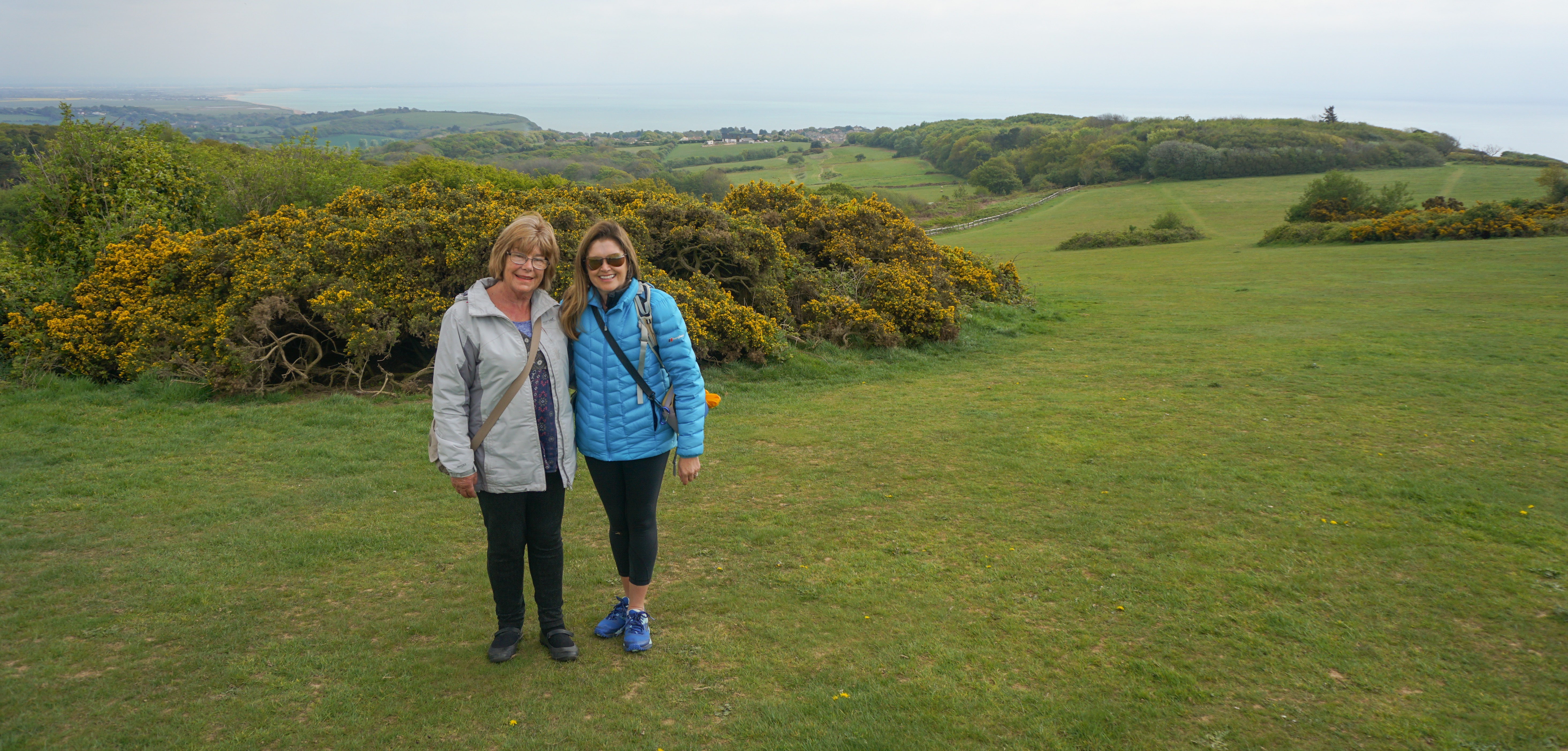
Tuesday: Jenny took us over to Hastings Country Park for a short walk and some fresh air, another place of great memories for Catherine.
Views over the gorse flowers across the country
Jenny heading through the kissing gate…
The sun breaks through the cloud…team photo
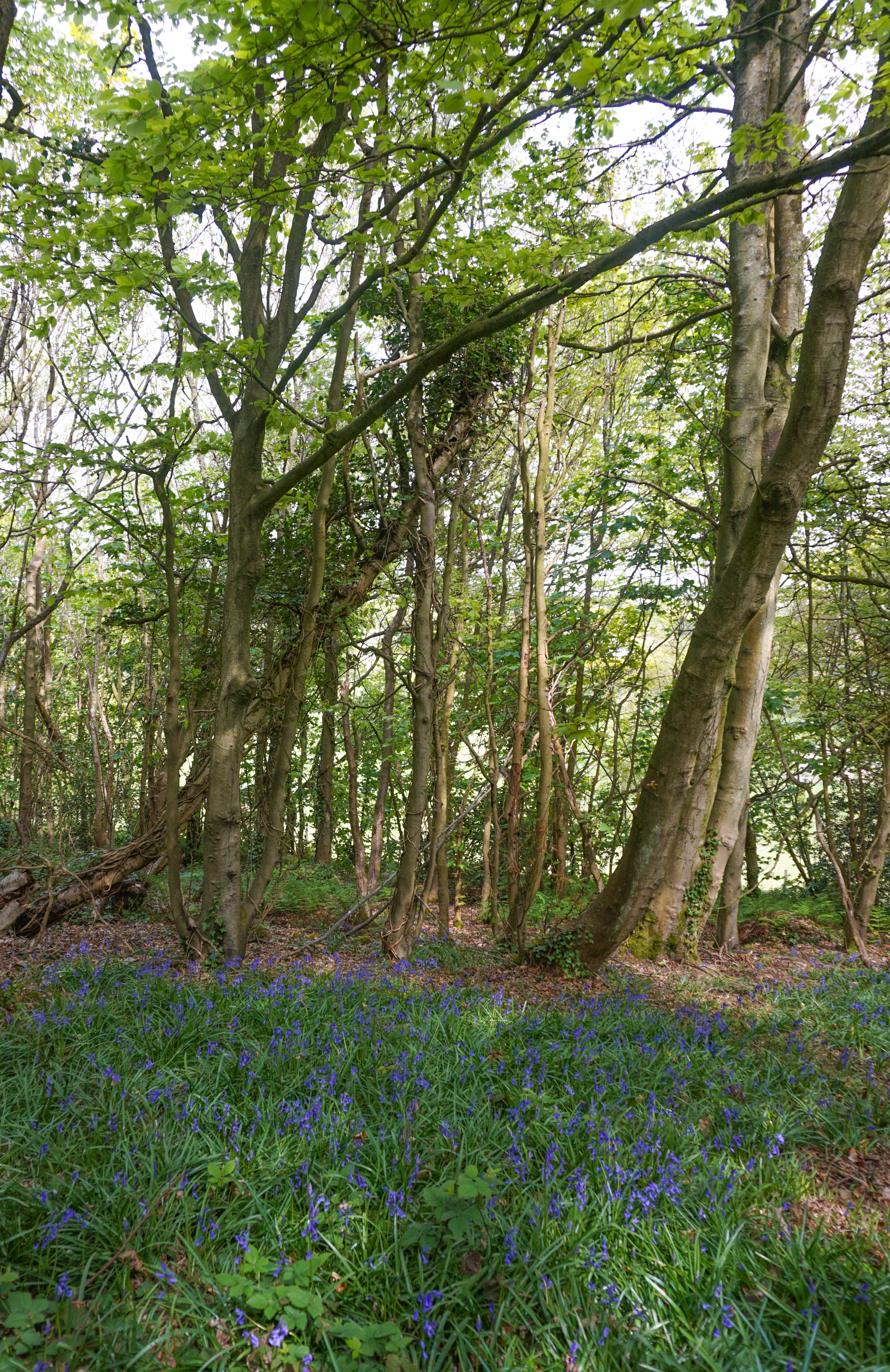
A lovely woodland walk on our return circuit
More bluebells adorn the woodland here
A mother-daughter shot to complete the walk
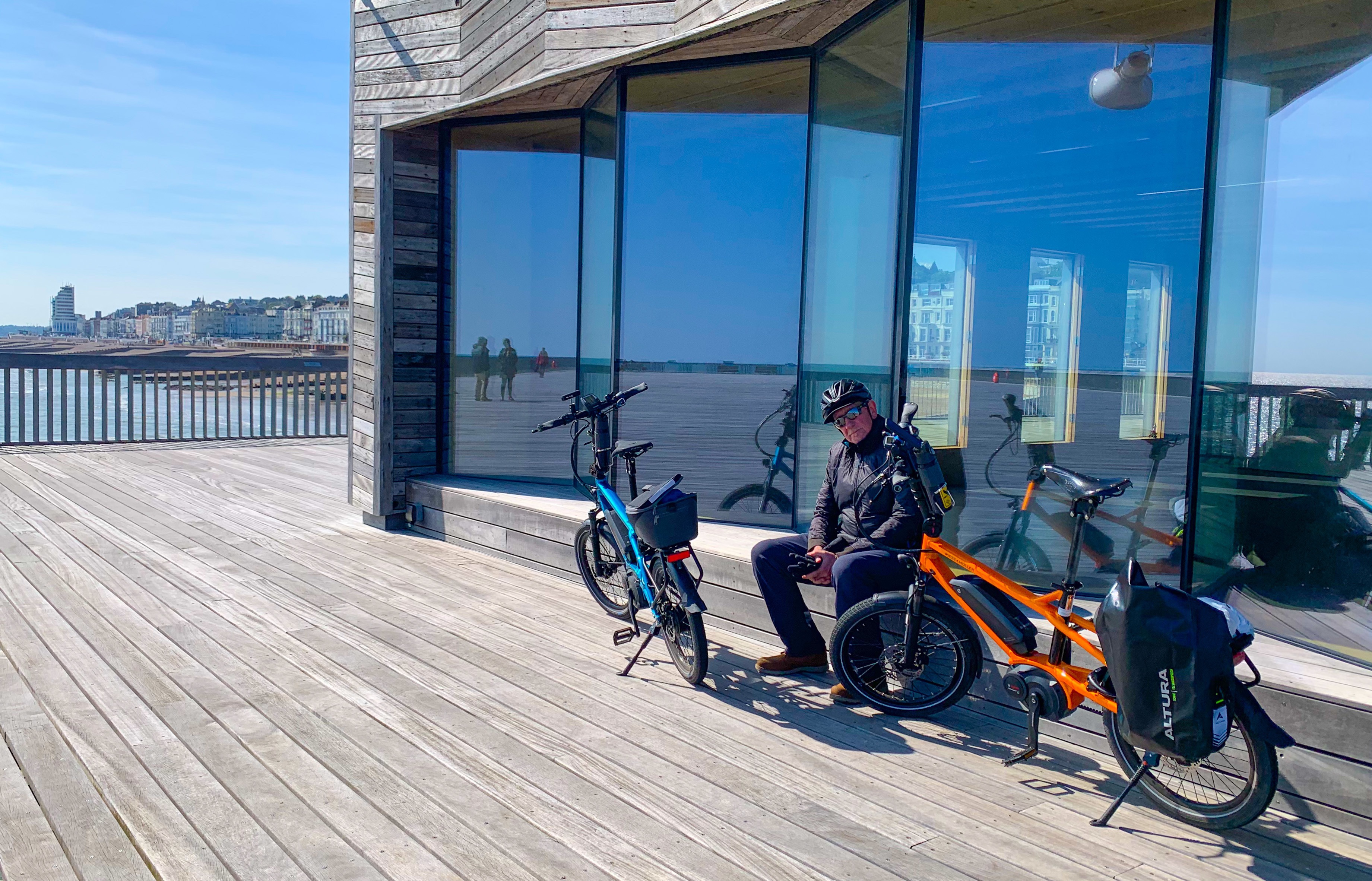
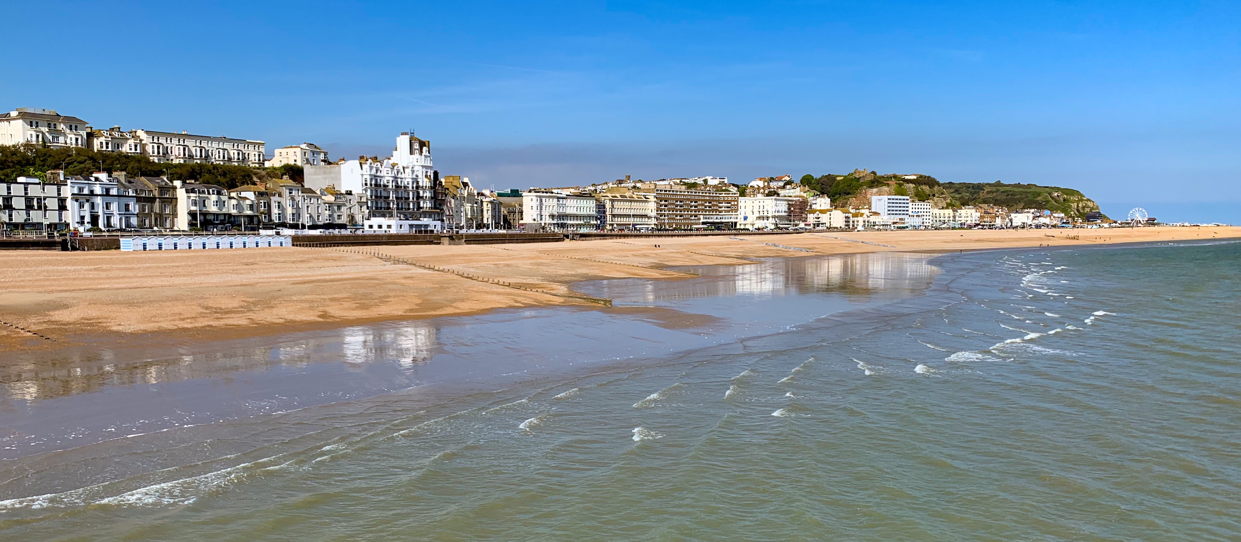
Later in the day, Catherine took me on her and her sister’s favourite after school activity, a ride down to the beach and along the coast. It was a cold day, but the sun shone and Hastings showed us her good side.
Warming up in a sheltered spot on Hastings Pier
Yes, there is sand (at low tide) in Hastings!
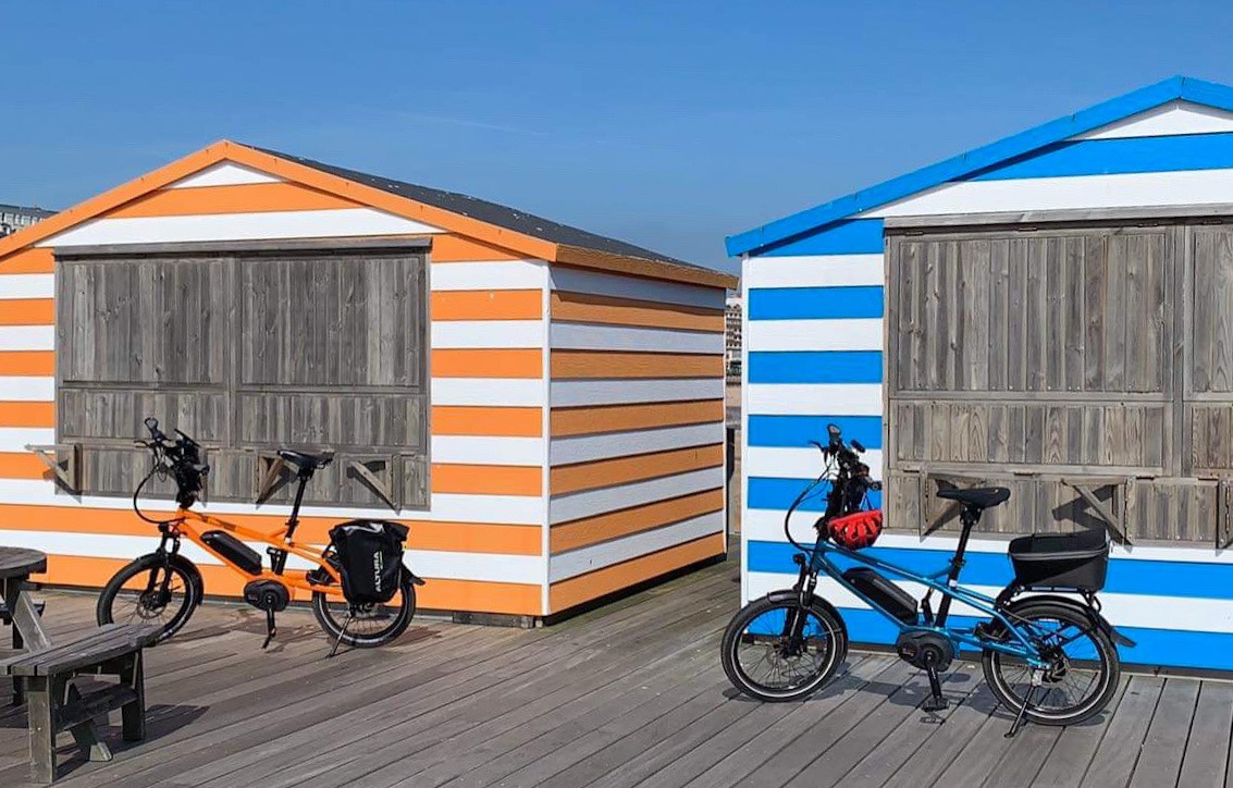
Matching bikes and huts
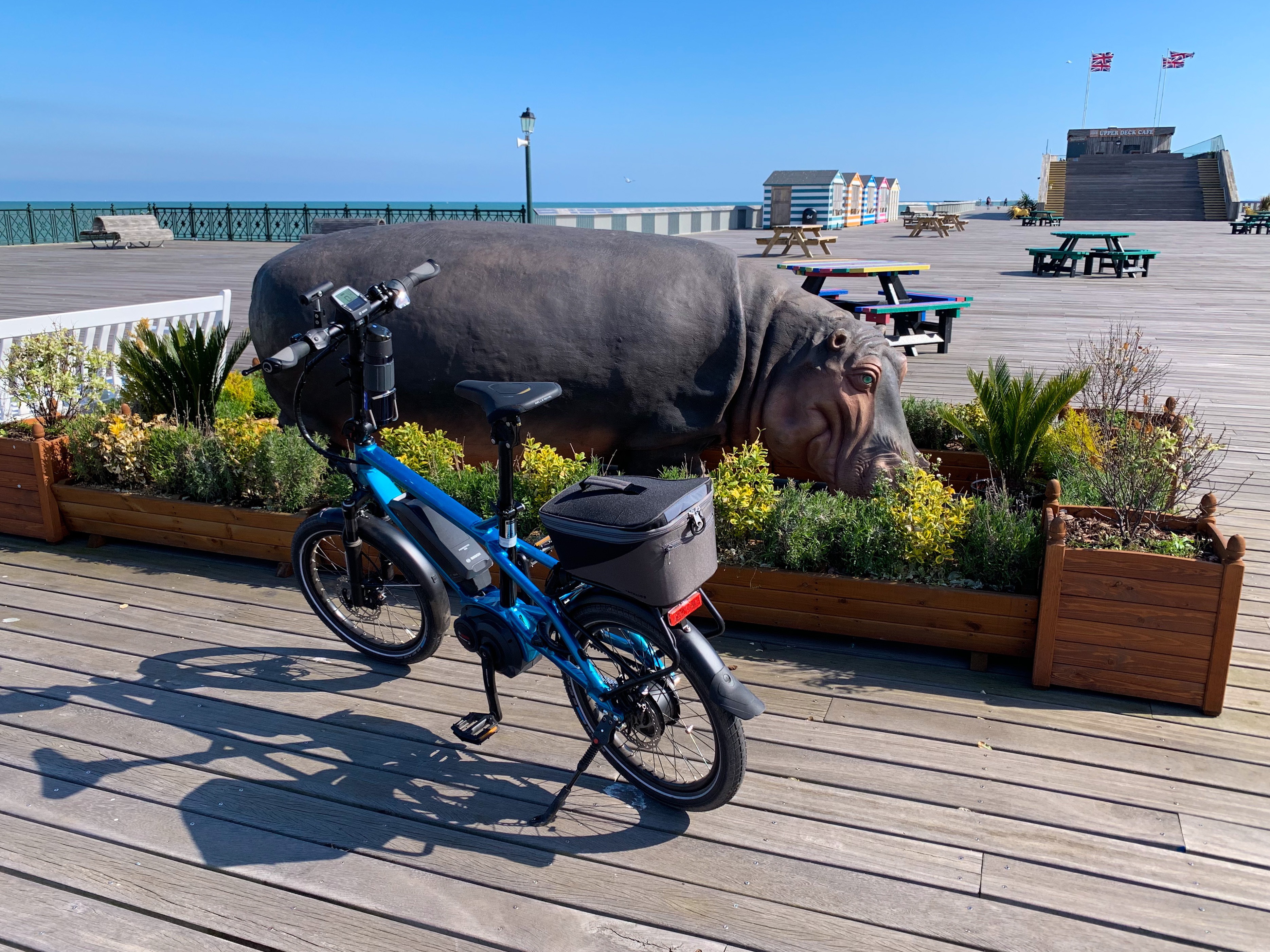
Mingling with the local wildlife on the pier…odd….
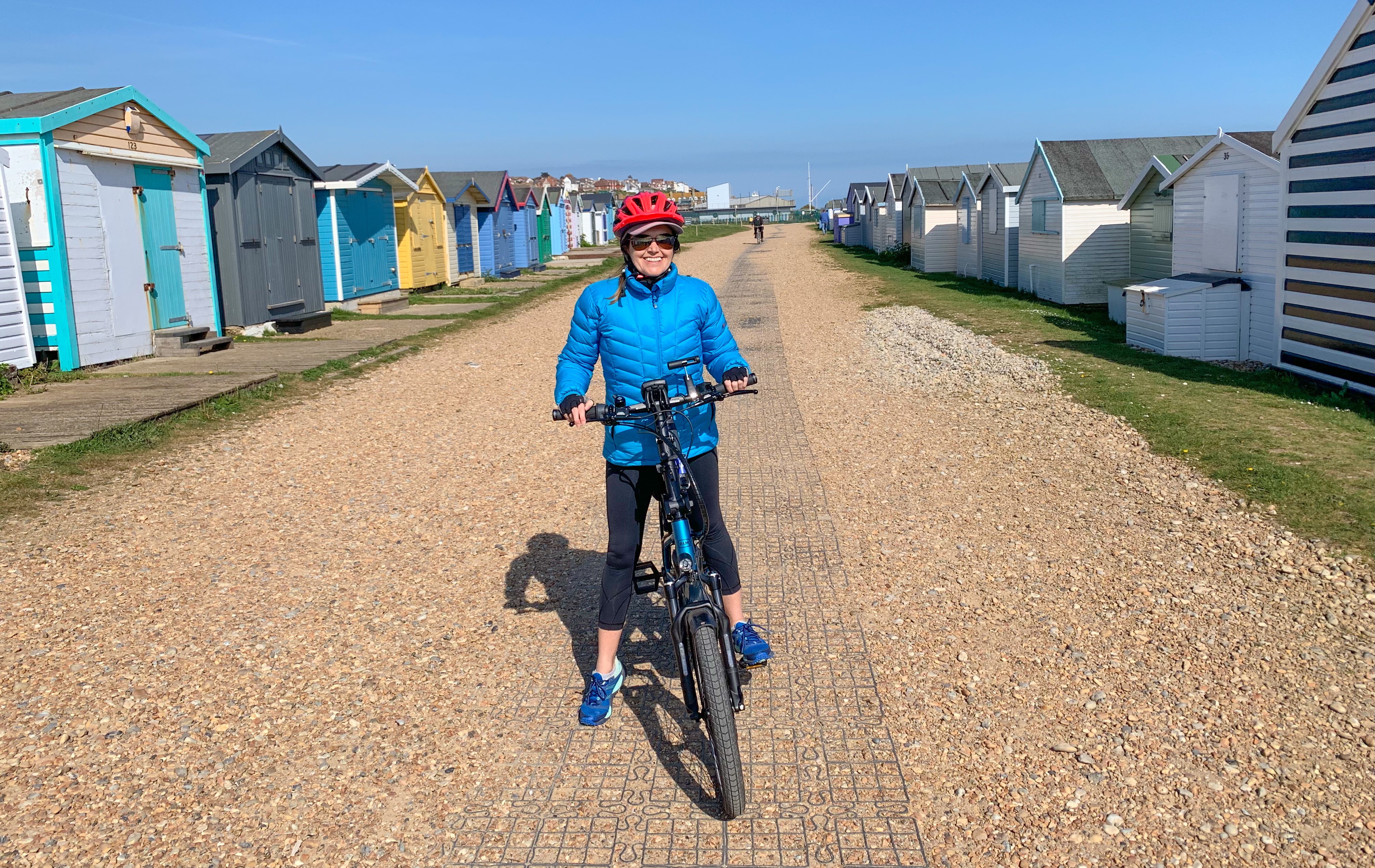
Riding the bike path along to Bexhill-On-Sea
It’s an interesting mix here of demographics, with everyone from a scattering of celebrities, and working class housing estates. If feels an authentic town, with the largest beach based fishing fleet in Europe still bringing in the delicious fish and cockles that we just had to sample.
So many memories from Catherine, shared with me, and it does draw you even closer together understanding someone’s childhood, as I had shown her mine in Kettering.
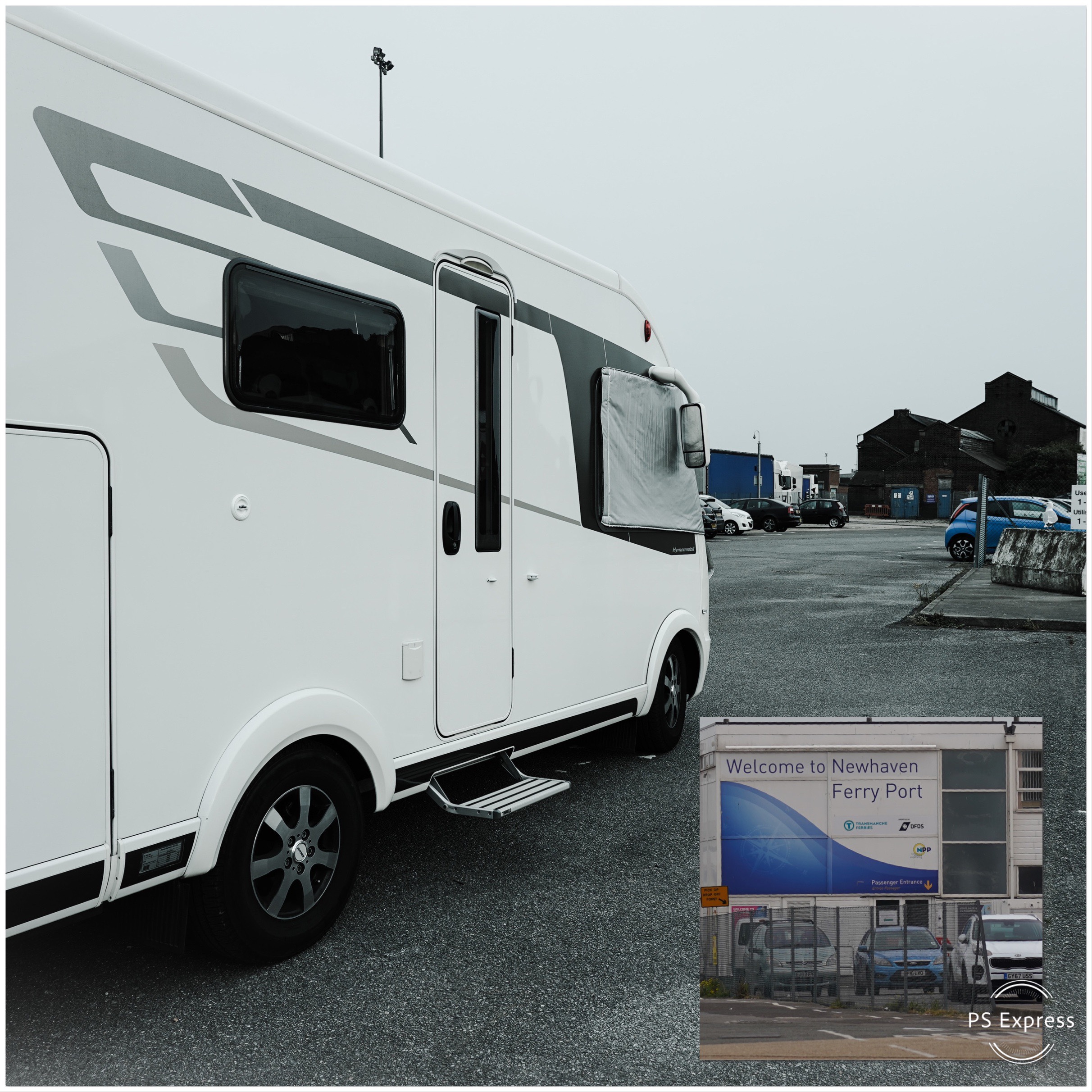
Wednesday: Now it’s our last day in the UK, with a ferry across to France early tomorrow. I few nerves on my part as I keep running through all the things we need to have sorted. Catherine as ever the calm one, thank goodness.
We are parked up at Newhaven Ferry Port for the night. Little Truffy is dwarfed next to his bigger HGV cousins all waiting for the 9am ride across the Channel to Dieppe. What adventures await us in France?
Location: Ivinghoe, Bucks, Little Gaddesden, Herts & London UK
Tuesday: Leaving Milton Keynes we headed south, travelling just half an hour to reach our next destination. We settled for the night at a farm in the hamlet of Ivinghoe Aston, close to the rolling hills of the Chilterns. The evenings here are light until about 8.30pm, allowing us a chance to go for a stroll.
Ten kilometres (about 6 miles) later we had crossed beautiful countryside via a bridleway and had explored the village of Ivinghoe. We even managed to pop into the local pub for a quick drink before heading back for dinner.
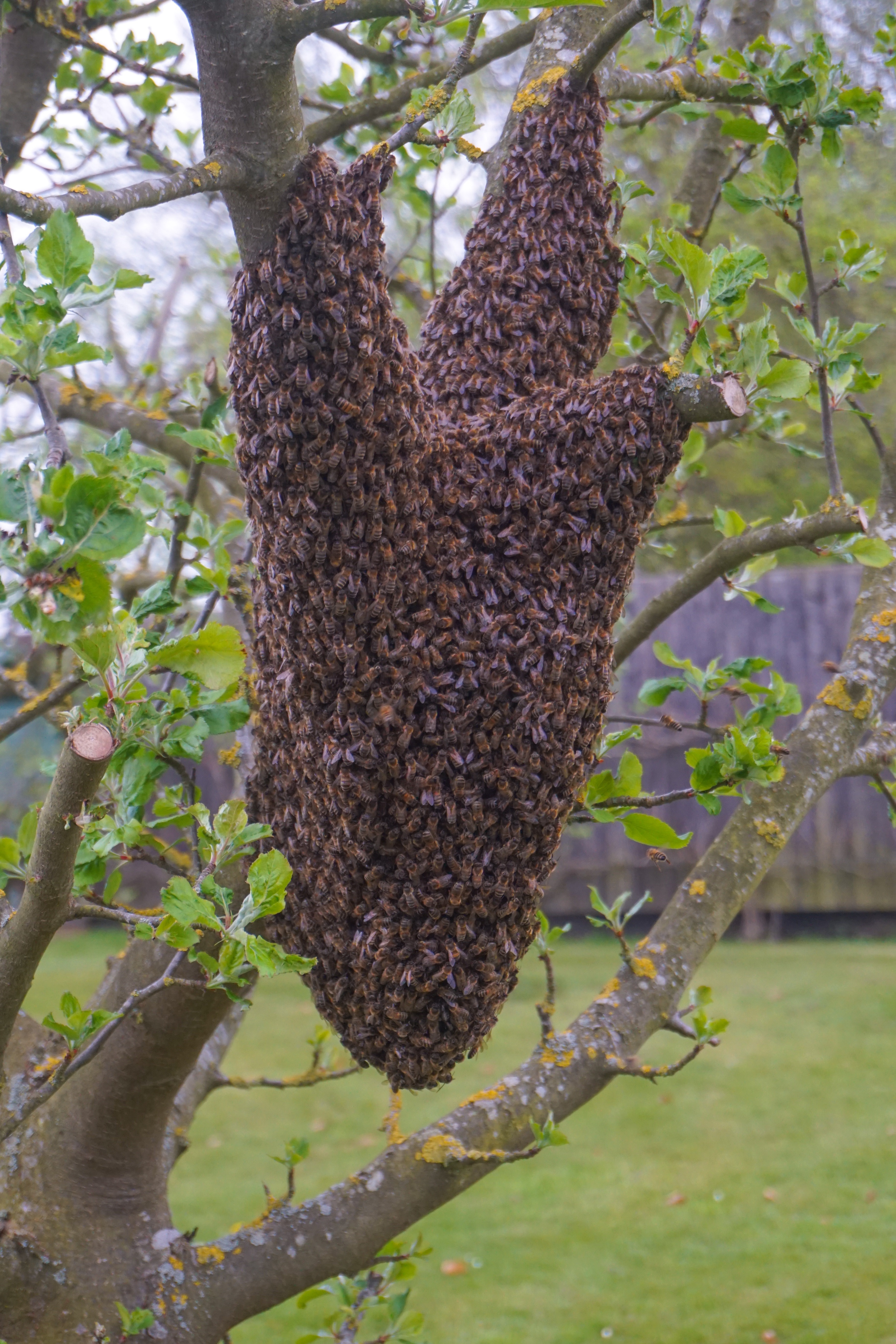
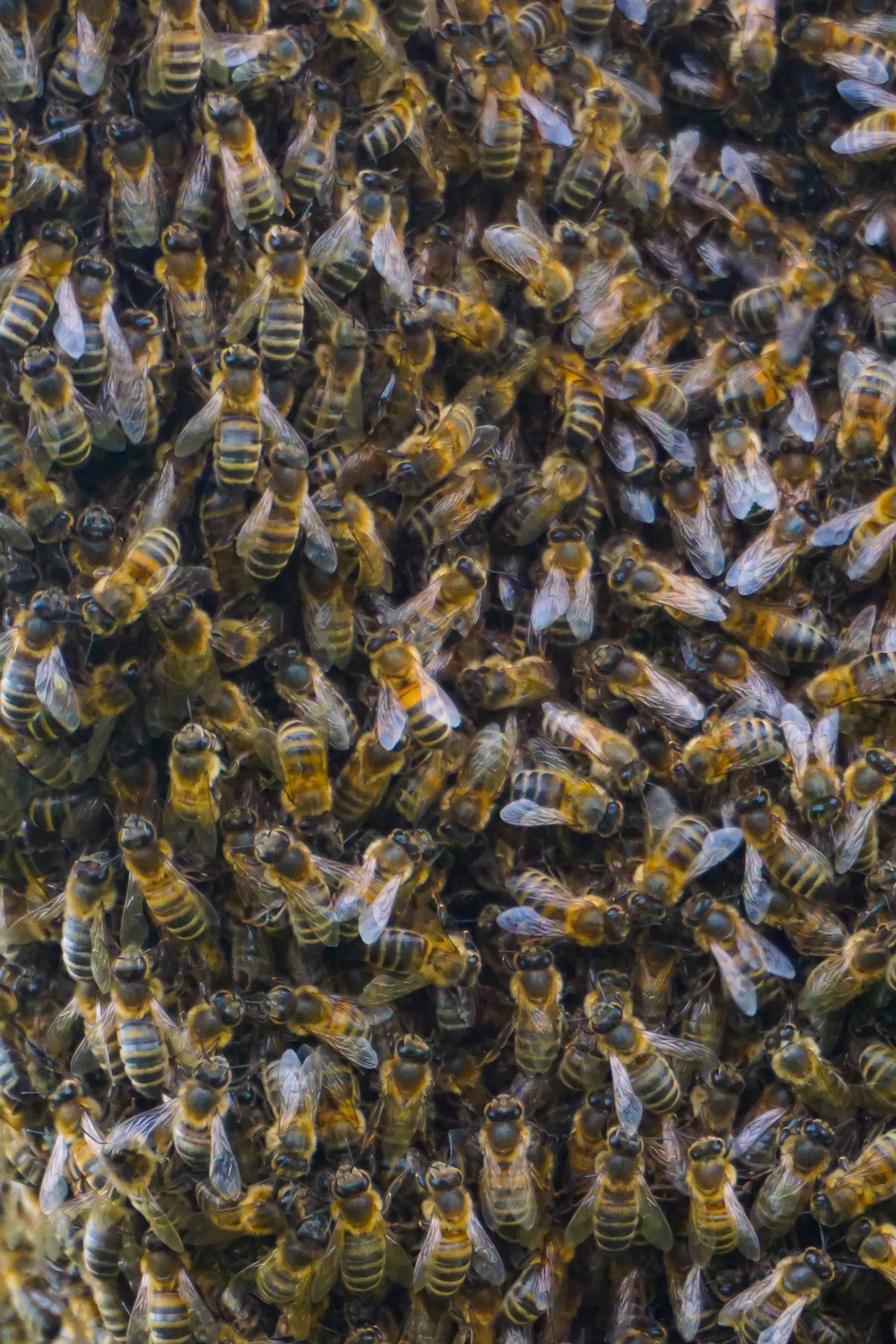
A bee swarm in the apple orchard at our farm-stay
Many workers surrounding their queen
Quiet lanes in Ivinghoe Aston
Dandelions line our pathway as we walk
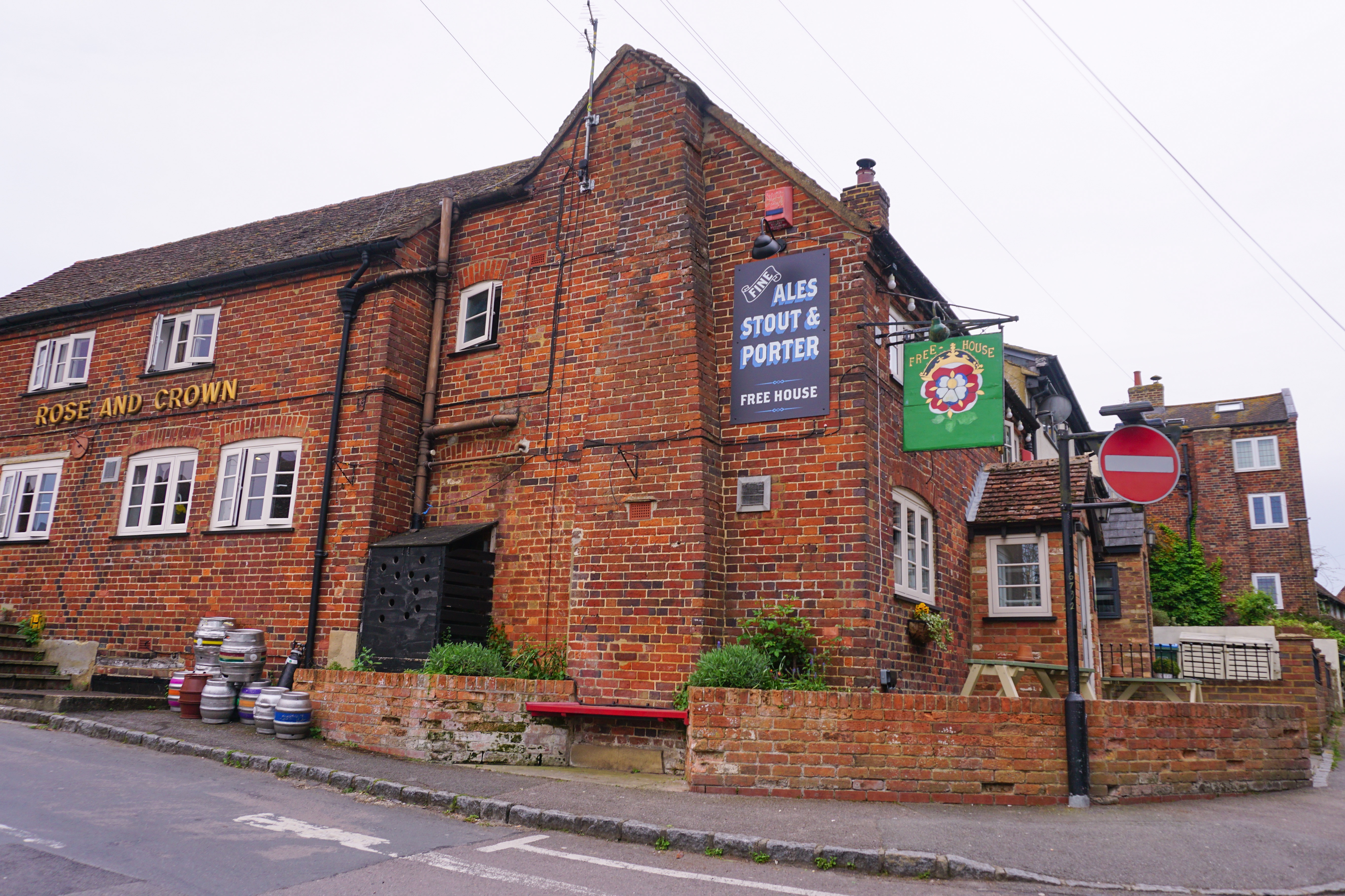
Hard to resist a pub with a good reputation
Old cottages in Ivinghoe – few with parking
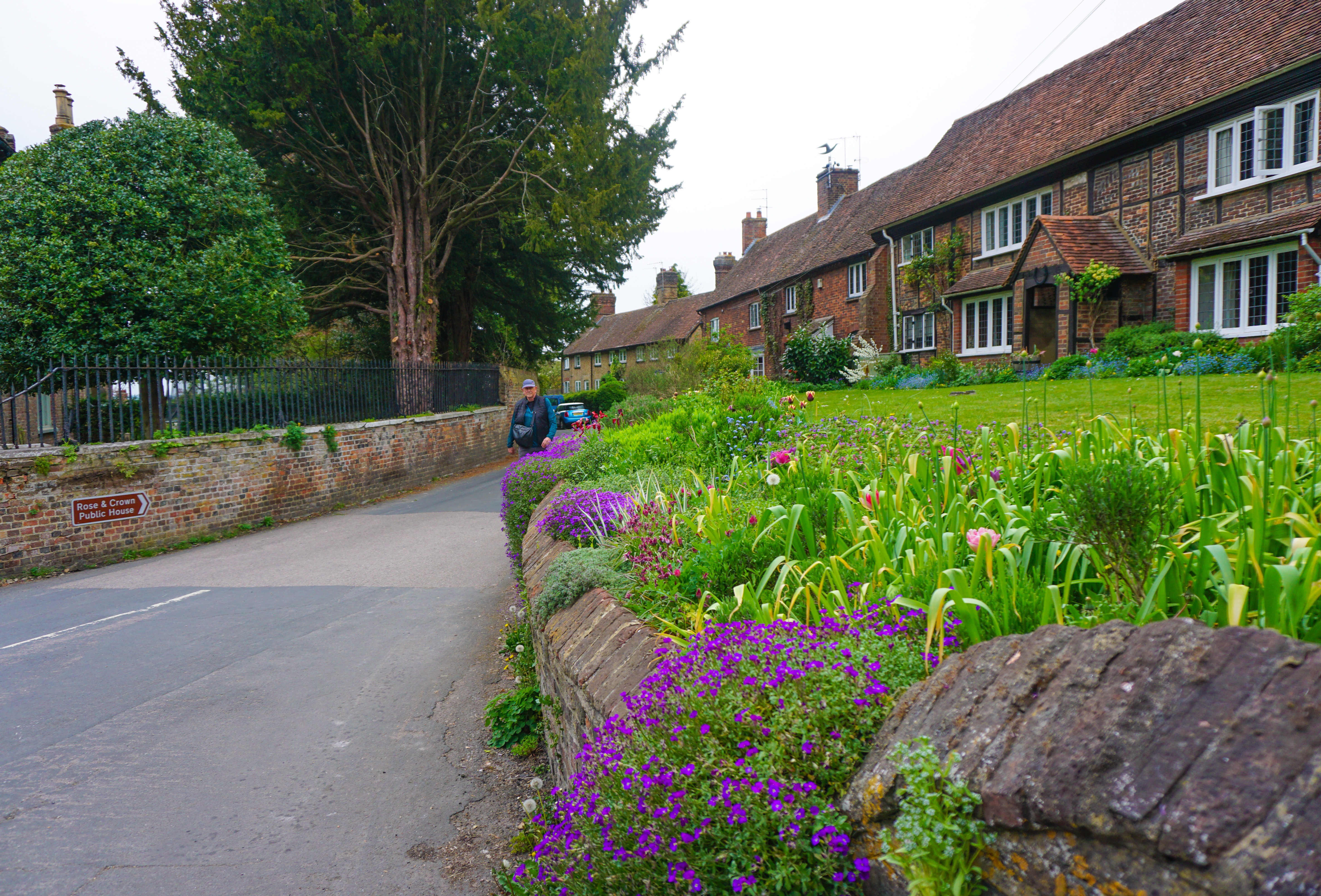
Mr A strolling through the village of Ivinghoe
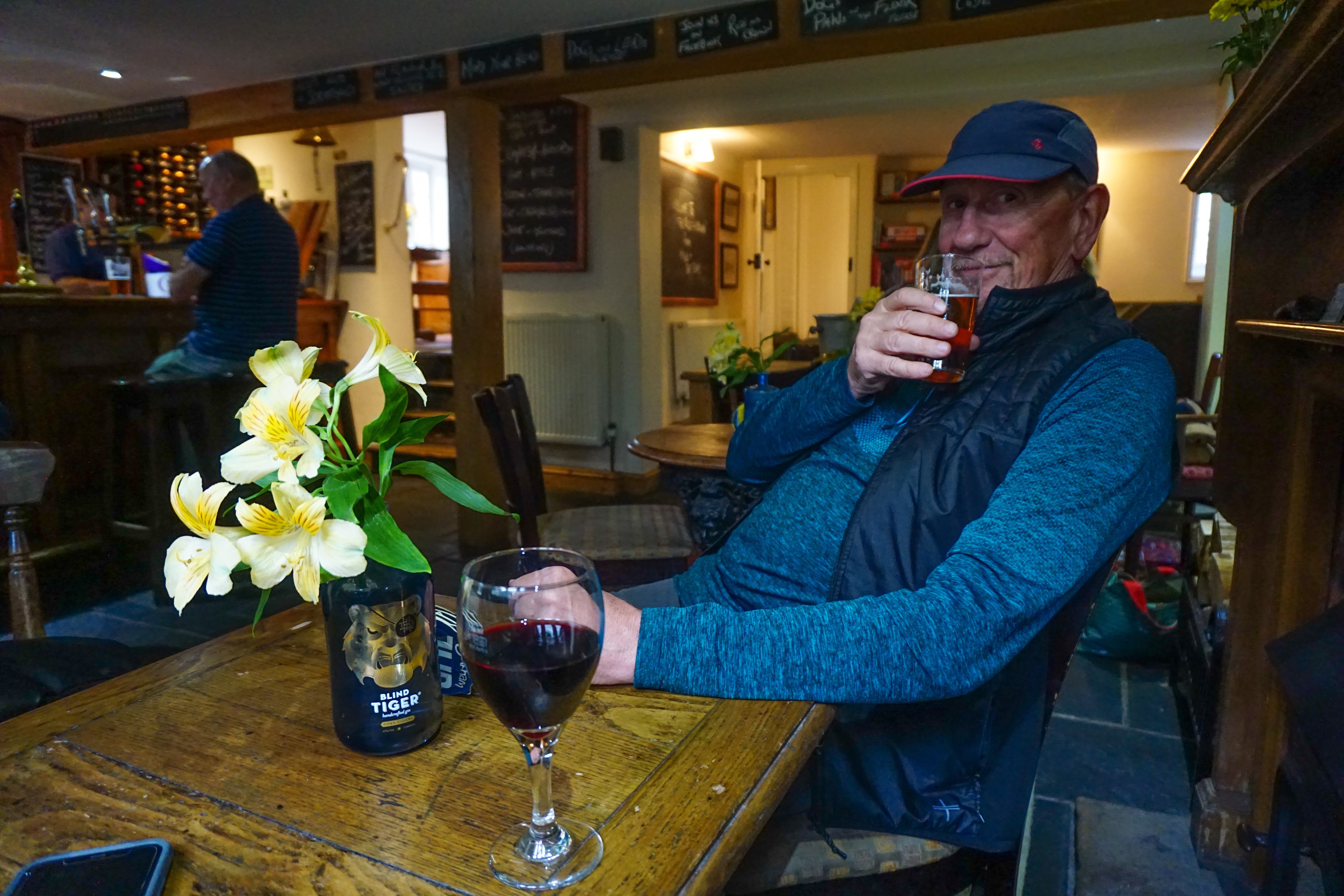
Mr A swears a half pint goes down much faster than half-a-pint within a pint
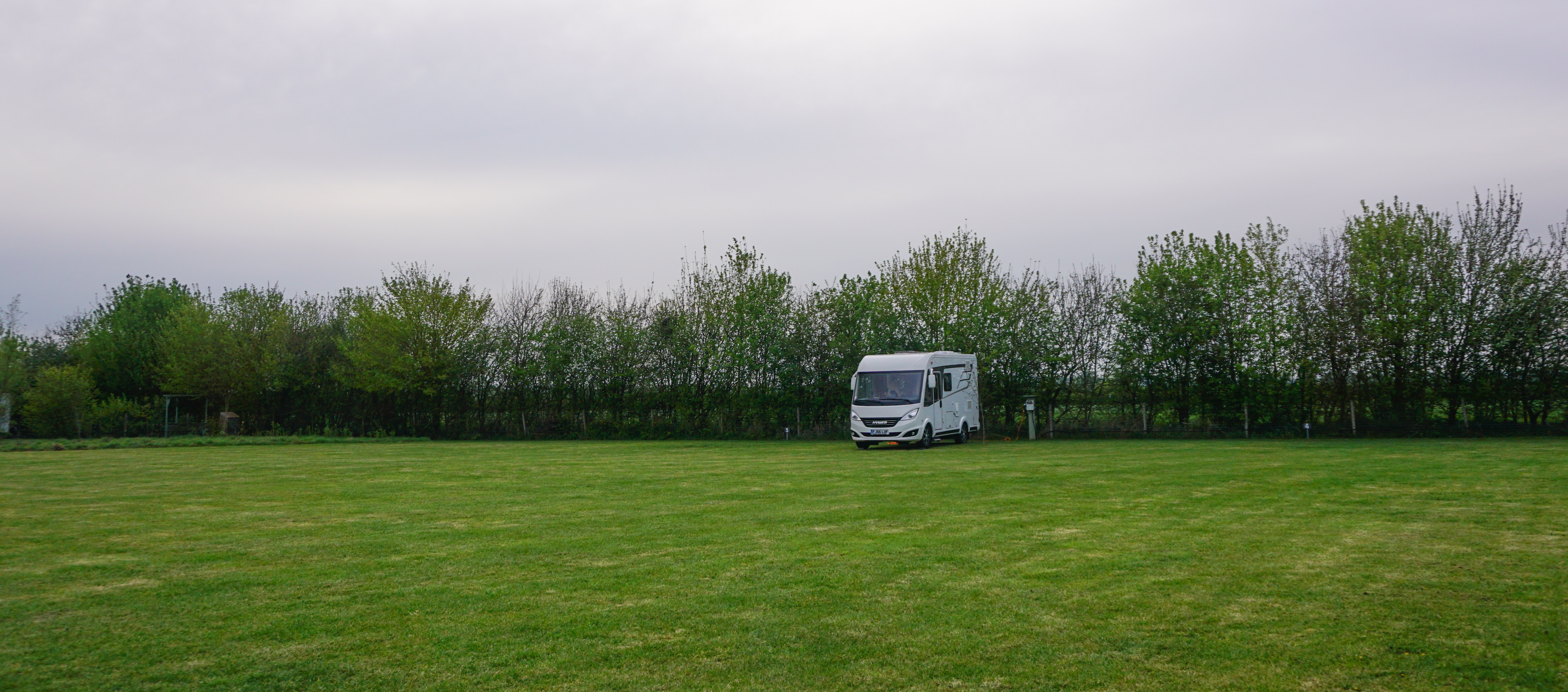
Truffy, outstanding in his field…
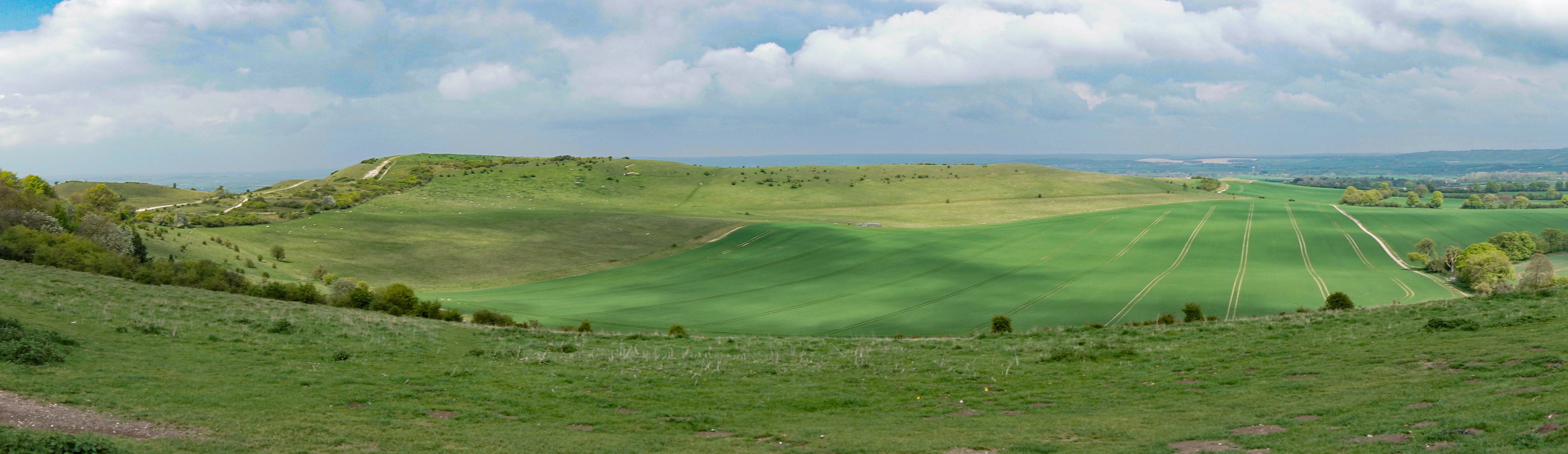
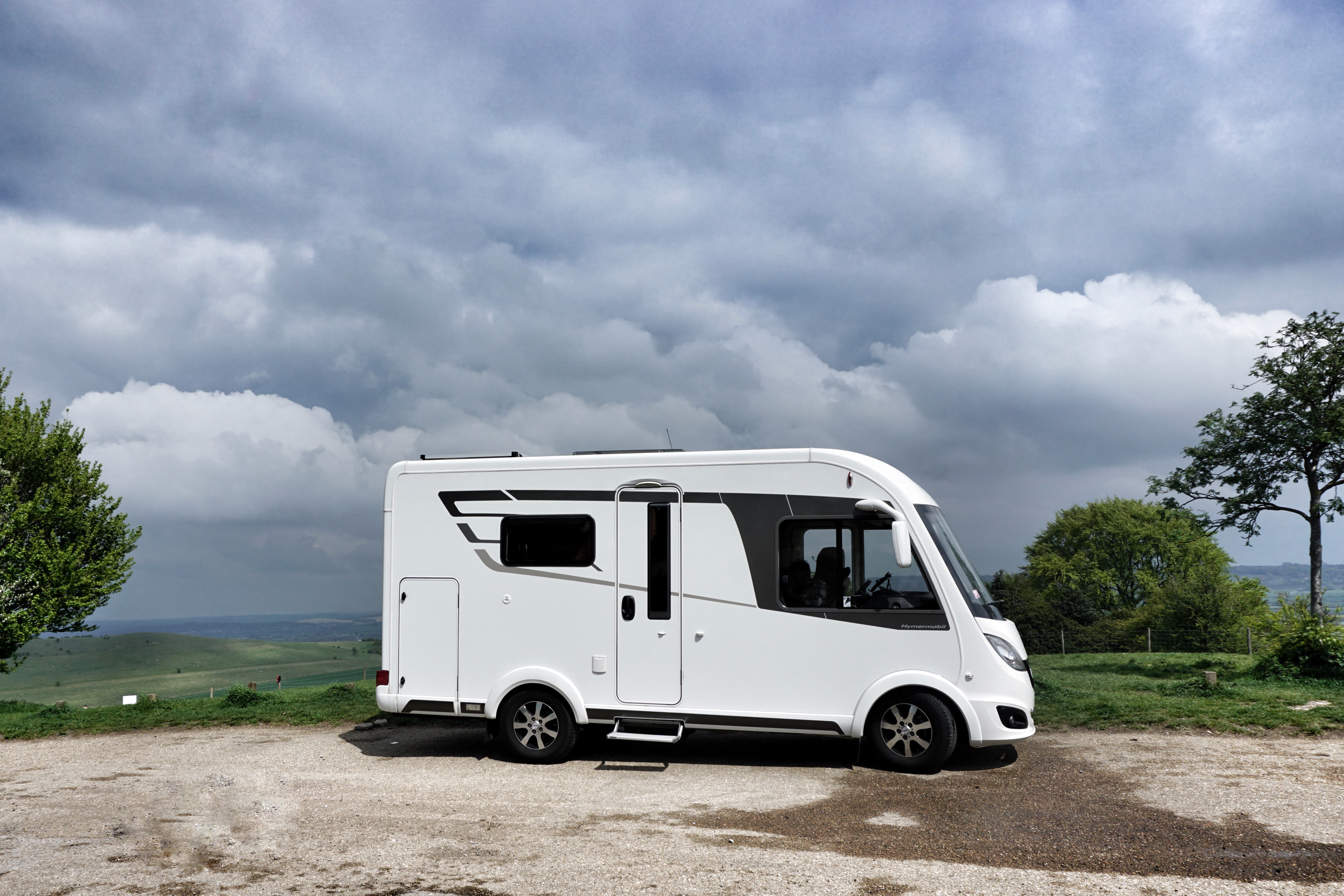
Wednesday: The following morning we departed and drove up to Ivinghoe Beacon. Ivinghoe Beacon is a hill standing 233 metres above sea level. It sits within the Ashridge Estate and is managed by the National Trust, but it has great significance historically. In the past, this location was used to send signals from and was also a fort during the Iron Age (around 800 BCE). More recently it has appeared in Harry Potter and Star Wars movies… For us though, it was a spot to enjoy lunch and a few cups of tea as we sheltered from the blustery cold wind and showers. A good day to be behind glass, as we say!
Fabulous views from the beacon
A couple of long distance walks/cycles start from this point
Truffy with dramatic skies
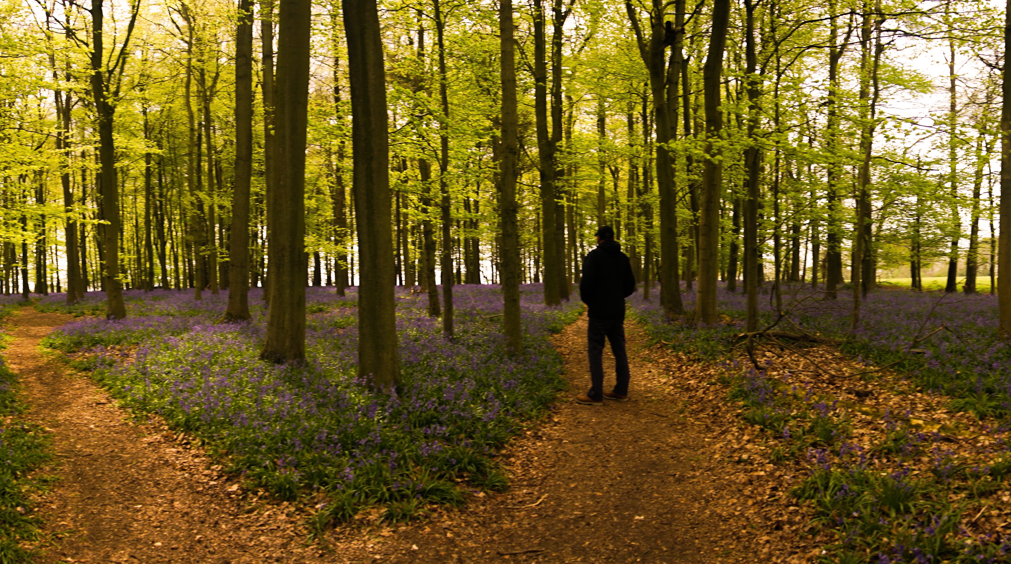
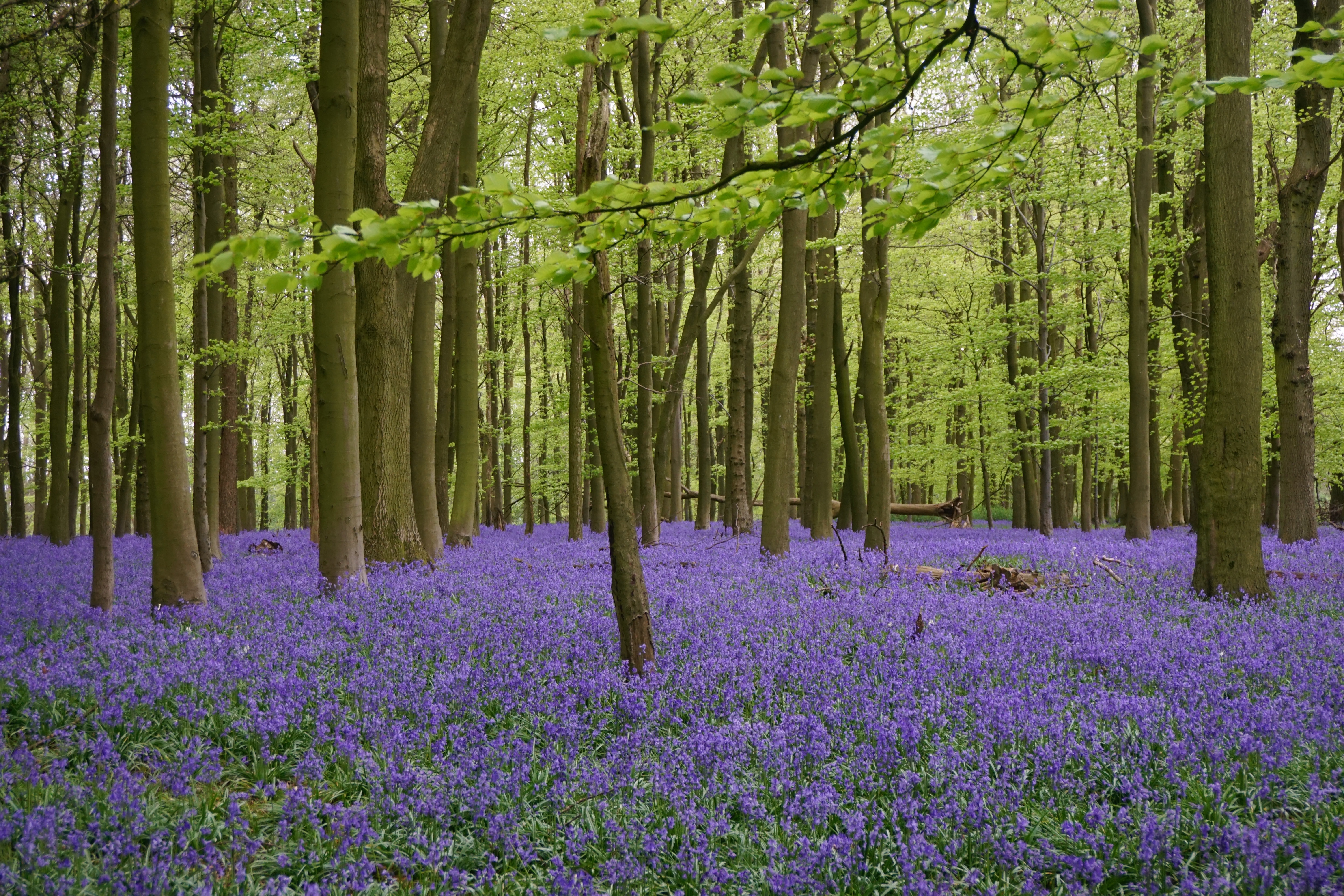
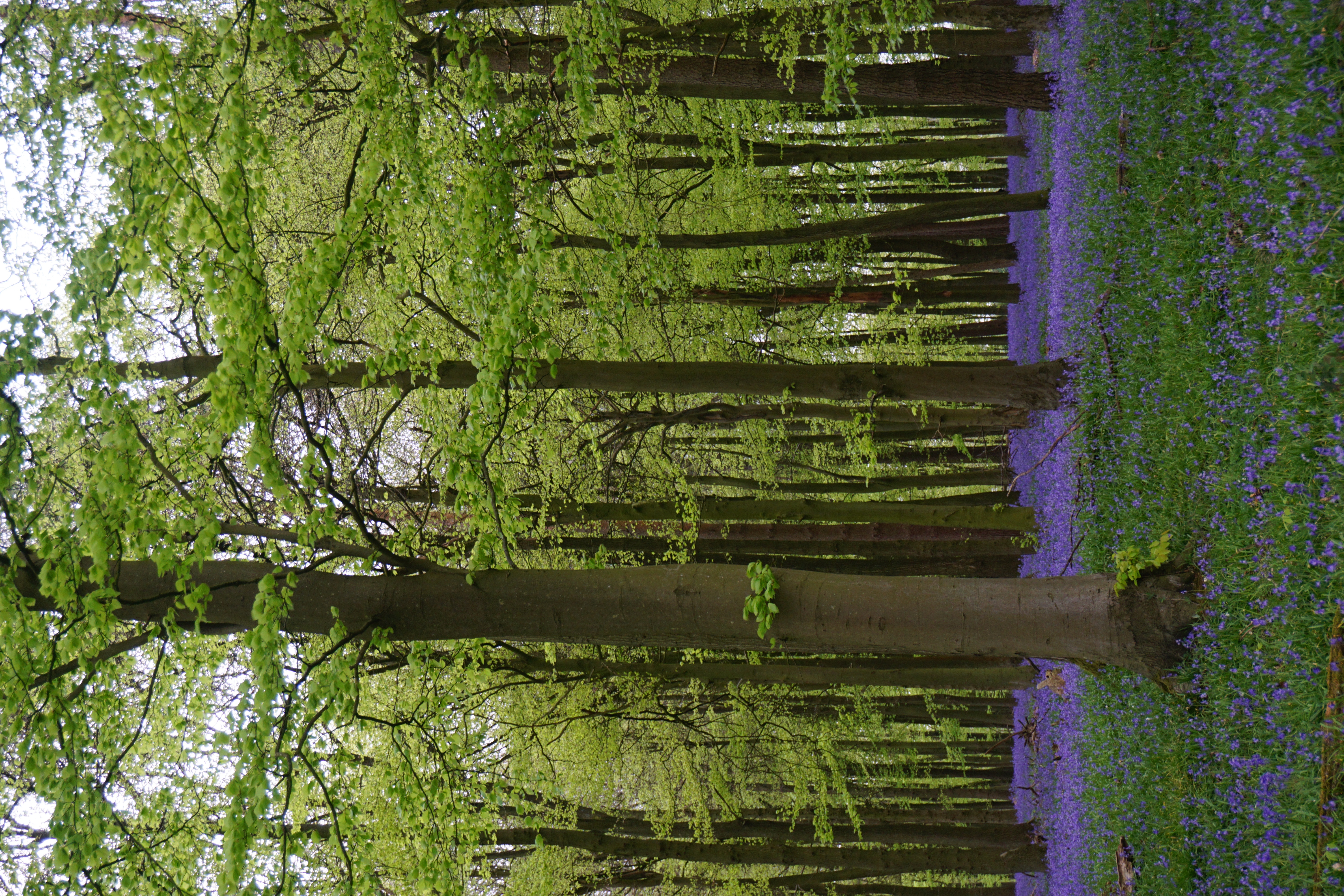
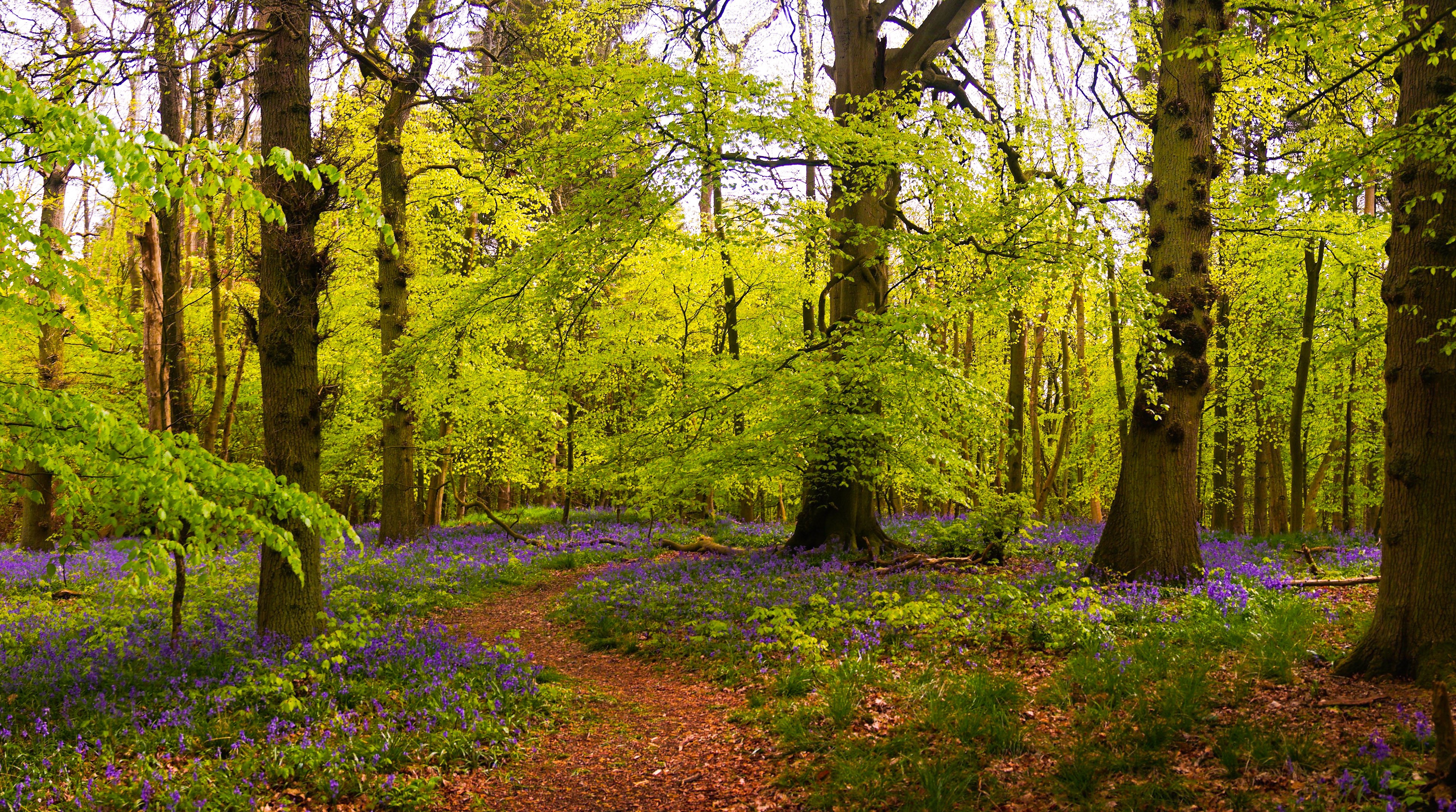
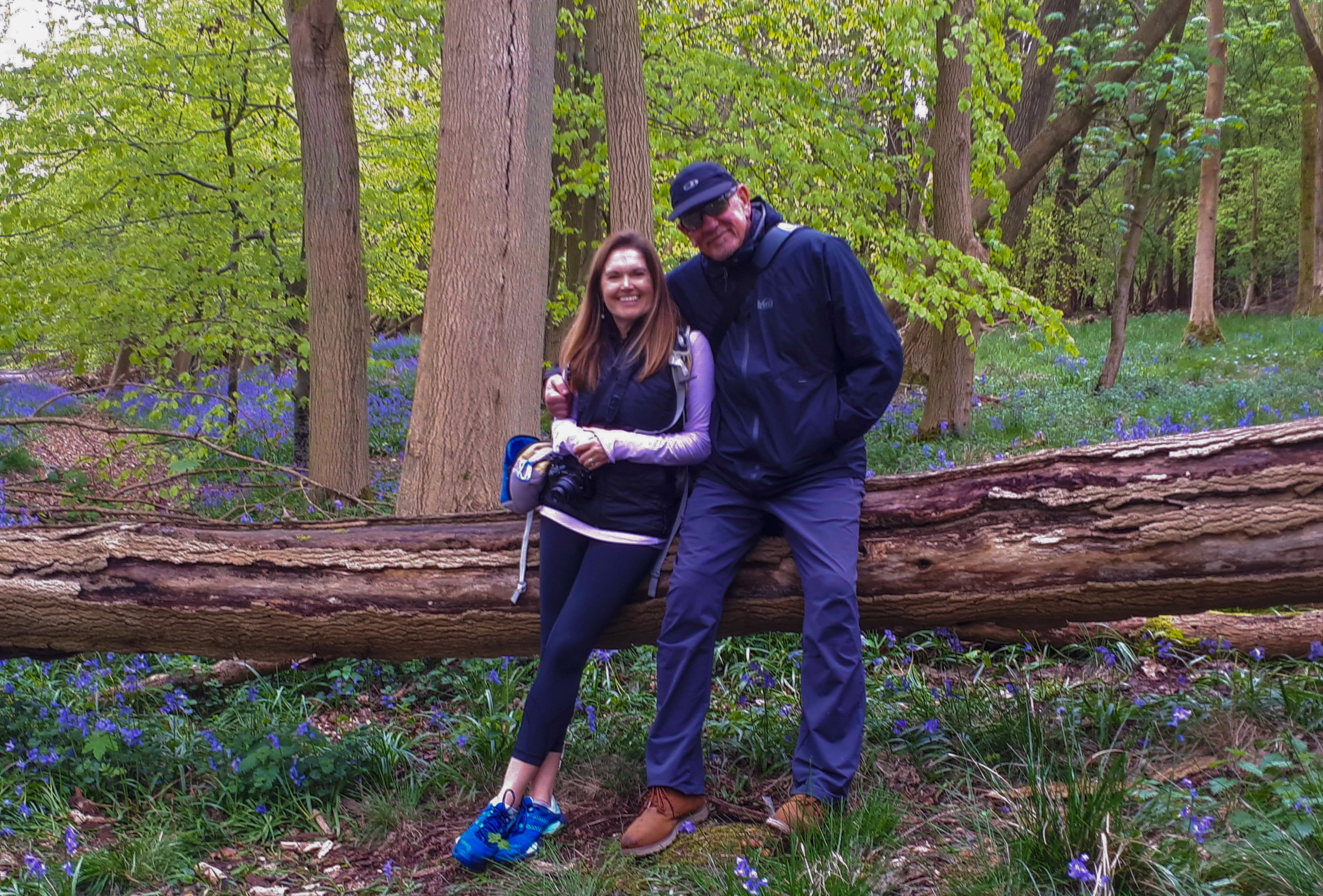
Eventually there was a break in the weather and we drove a short way down the hill towards Dockey Wood. This woodland is famous for its incredible display of bluebells, and my cousin Karen had let me know they were in full bloom after the warm Easter weekend.
We had only driven a few minutes and we spotted a carpet of purple by the side of the road. We quickly pulled over and went in for an explore. It was incredible, and unbeknownst to us, we were in the quieter less visited woodland area – the main display (and crowds) we found were just down the road where the official car park was.
Mr A wanders through the sea of blue
Just breathtaking – set off by the bright green new leaves
A mass of purple
Dizzy with the delicate perfume of the bluebells, we headed on down to our home for the next three nights, parked up on a farm track close to my cousin and her family in Little Gaddesden.
Before long a taxi arrived to take Mr A, my cousin Karen, her husband Iain and I into nearby Berkhamstead. There we caught up with my old school friend Jo and her husband Stuart for a beverage at a local wine bar, The Berkeley. From there we enjoyed a fabulous Thai meal at The Giggling Squid – delicious food and probably the best Thai we have tried in the UK so far.
The years flash on by with nearly 30 years of friendship
Much laughter – L-R: Stuart, Karen and Iain
Mr A finds himself beside a nude….
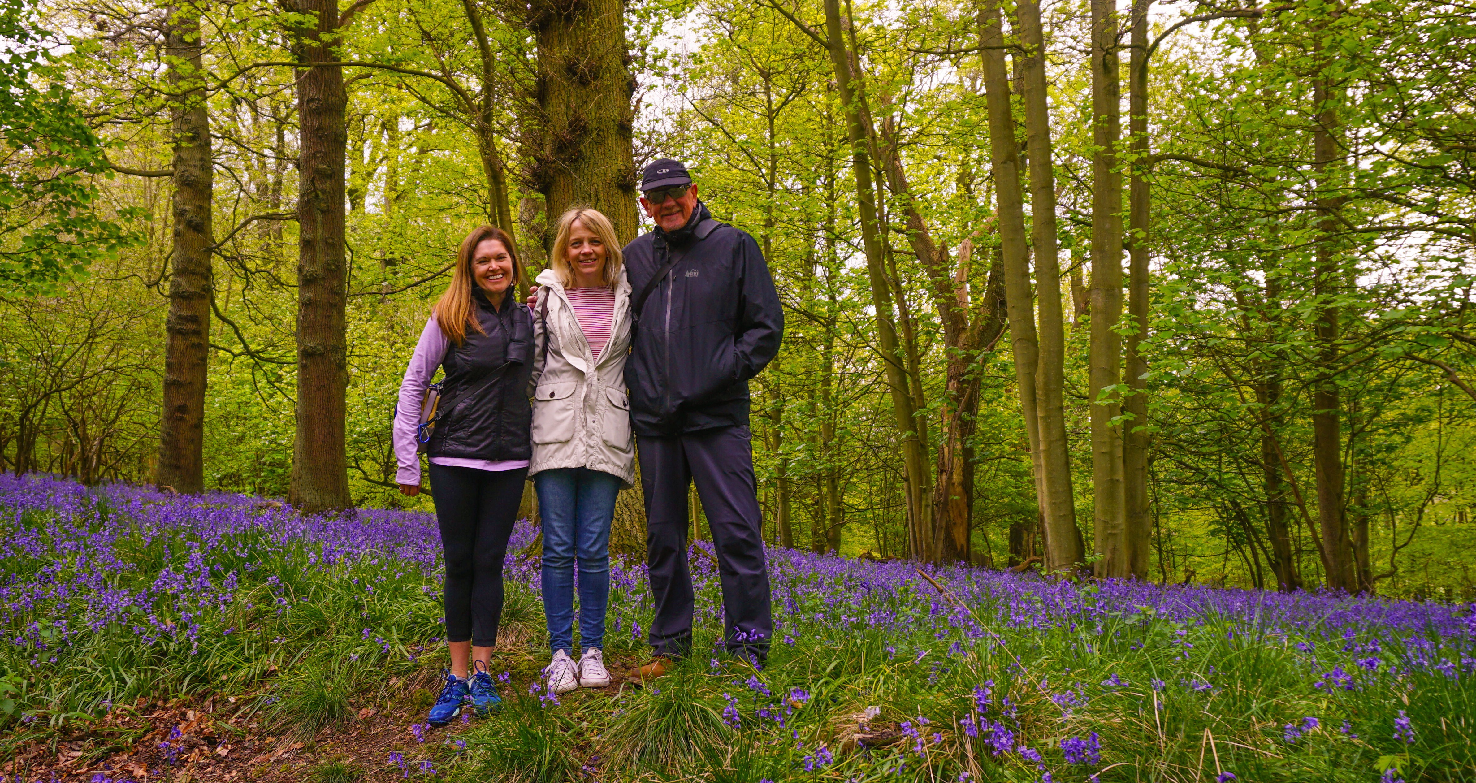
Thursday: After a relaxing night’s sleep, Iain gave Mr A and I a lift up to the cafe in Ashridge Estate so we could catch up with an old friend of mine from way back, Amanda. We last met up when she was visiting her sister in Sydney Australia, more than 15 years ago. It was great to see her, and we had a stroll through the woodlands, admiring yet more bluebells.
Footpath windings through the wild flowers
Amanda caught between two Andersons
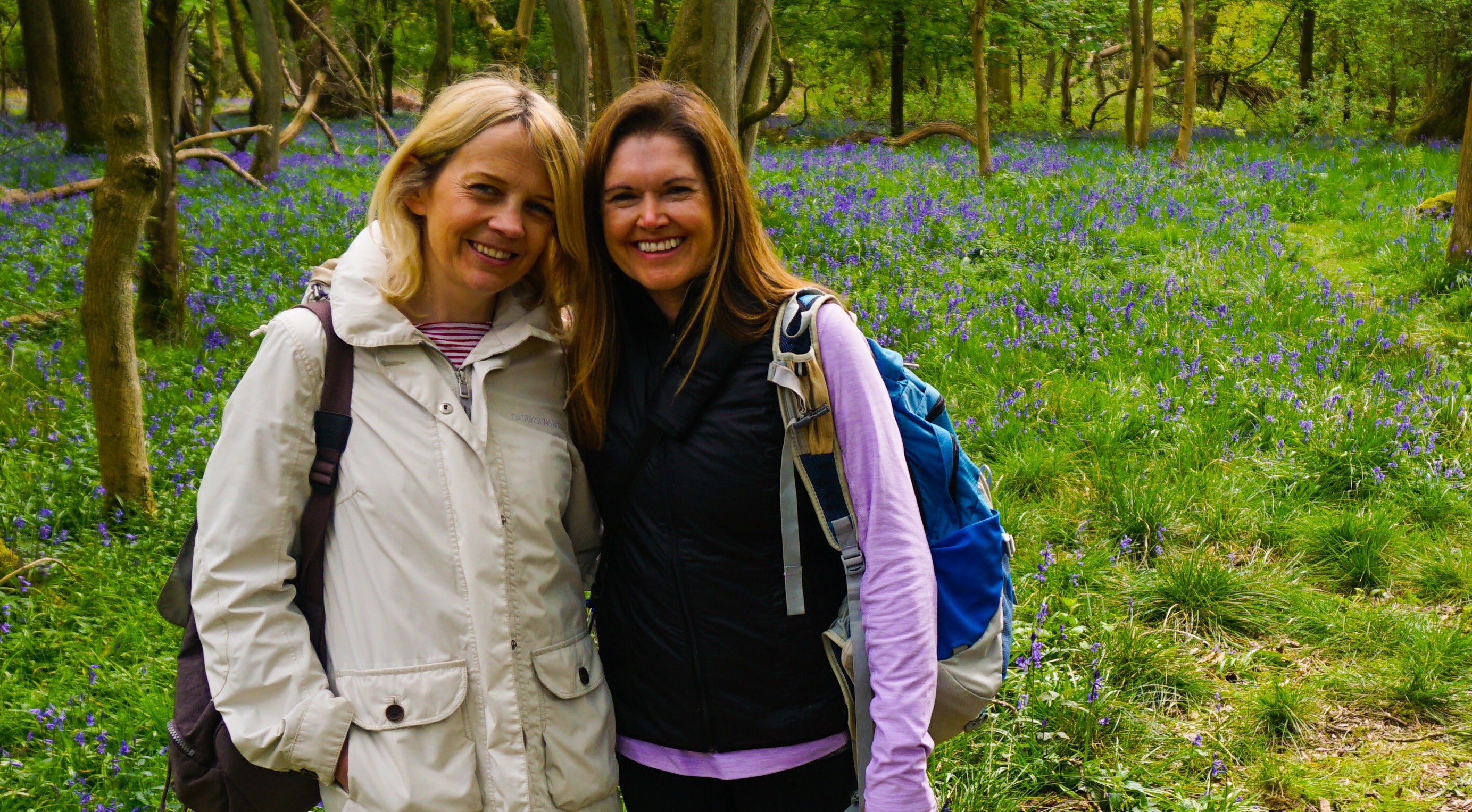
Old friends reunited
Mr & Mrs A – (incidentally, I left my lens cap on this tree trunk, in case you find it!)
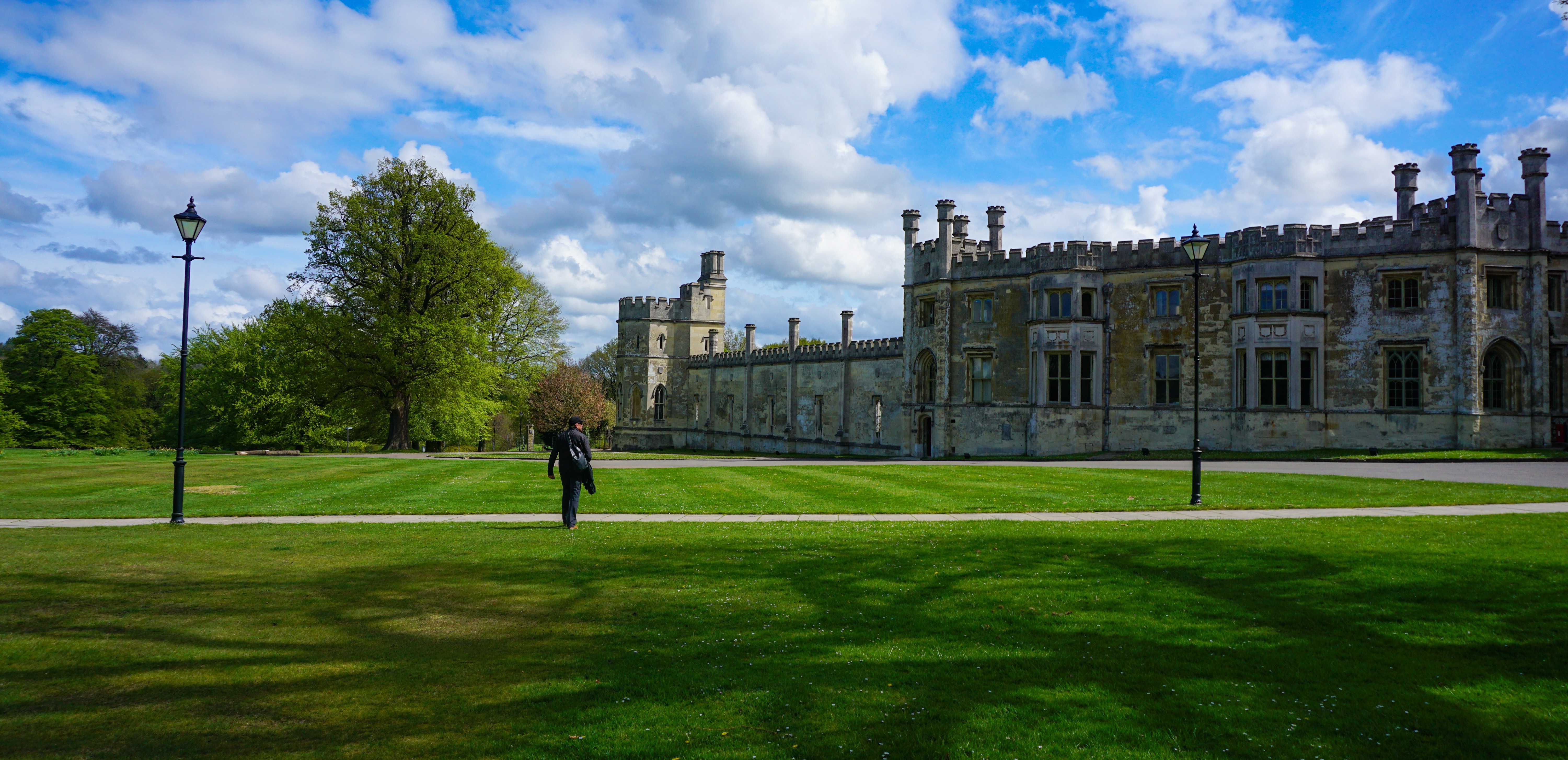
Walking back to Karen & Iain’s house via Ashridge House
Mr A and I walked back to Karen’s house through the estate, spotting many deer and enjoying the sunshine as we went.
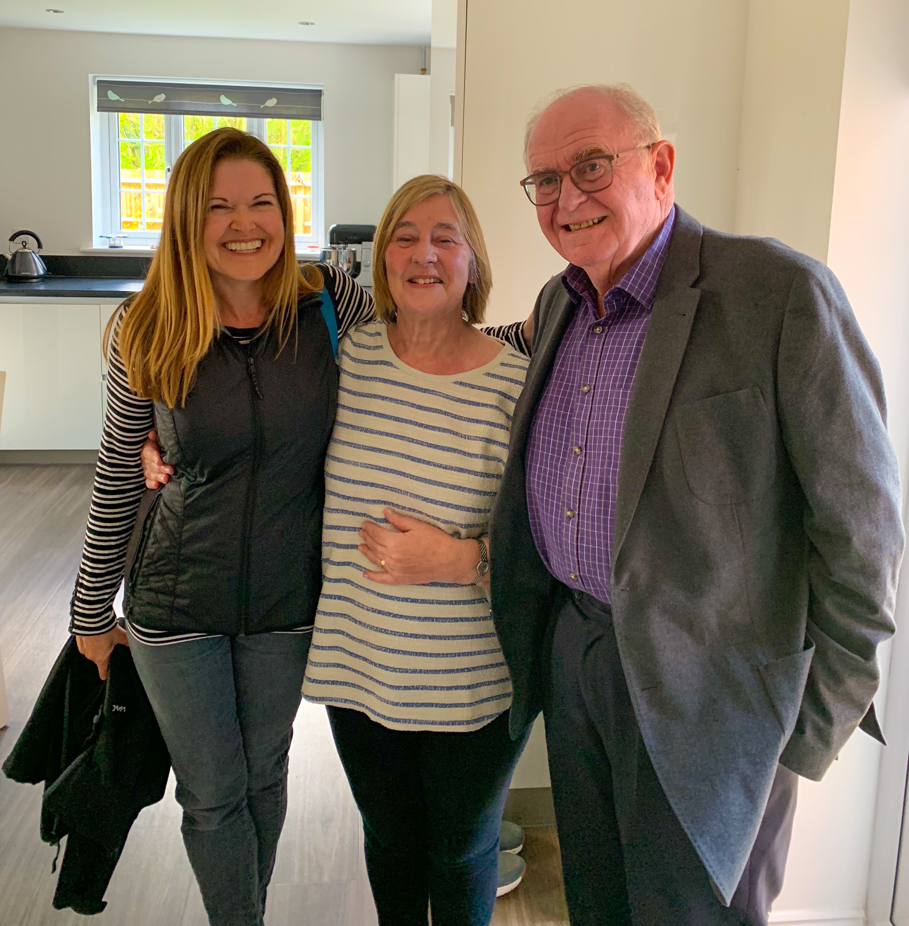
We’d been back a few moments and I was back in the car with Karen off to visit my aunt while Karen took my uncle to the doctors. It was just enough time for a cup of tea and a tour of the house and garden before heading back for the evening.
Mrs A with auntie Pam and uncle Brian
Friday: Mr A and I hitched a lift into Berkhamsted when Karen was dropping off her daughters, Hannah and Ella to school. From there, we caught a train into London – Mr A heading off to do some shopping, while I went to Hammersmith and Charing Cross Hospital to take part in a focus group about the major airway surgery I had there back in 2014.
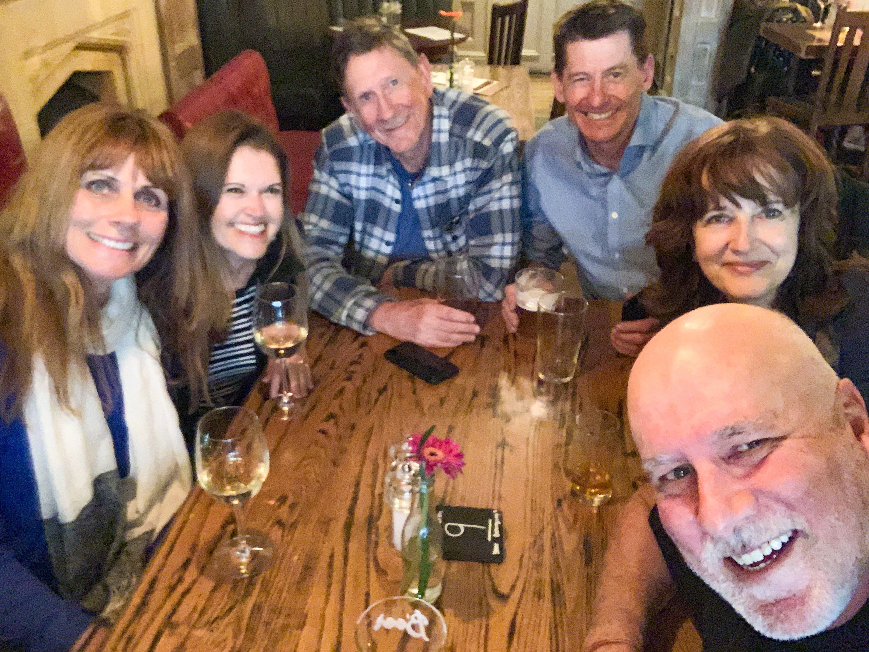
After the group I caught up for an hour with Jacky, a lovely lady with iSGS I have met through the support group I run, before heading back across town to meet up with Mr A, and some more friends at a pub near Warren Street.
L-R: Karen, Mrs A, Mr A, Martin, Karen’s sister, Chris
It was a fun catch up, with Martin (who was best man at our wedding 17 years ago) plus friends from Australia, Karen and Chris, who are staying with Karen’s sister near Greenwich.
It wasn’t a late night though, we were back on the train to Berkhamsted by 6.30pm and back tucked up in Truffy for the night by 9.30pm. A great end to the week.
Saturday: It was time to say goodbye to Karen and Iain and the girls, and continue our journey south. We really appreciate the hospitality we’ve been shown by the whole family.
L-R: Ella, Ryan, Merryn, Karen, Iain, Hannah, Mrs A
Mr A and I are both are loving rekindling old friendships and making new friends on our travels, and particularly cherish the time such as this with family who are also good friends. I hope we are leaving each time with stronger relationships and a better understanding of one another and look forward to spending more time together when we’re back from our European travels.
Thursday: It was a novelty at first hearing rain crashing onto the roof of the caravan. An excuse to brew endless cups of tea, finalise our trip plans for Europe, and snuggle down with Miss Tasmania!
An attempt at an evening walk is cut short by our first rain drops
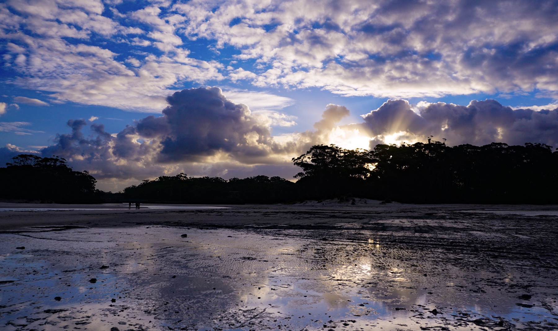
Jervis Bay looking dramatic as the horizon disappears under torrential rain heading our way
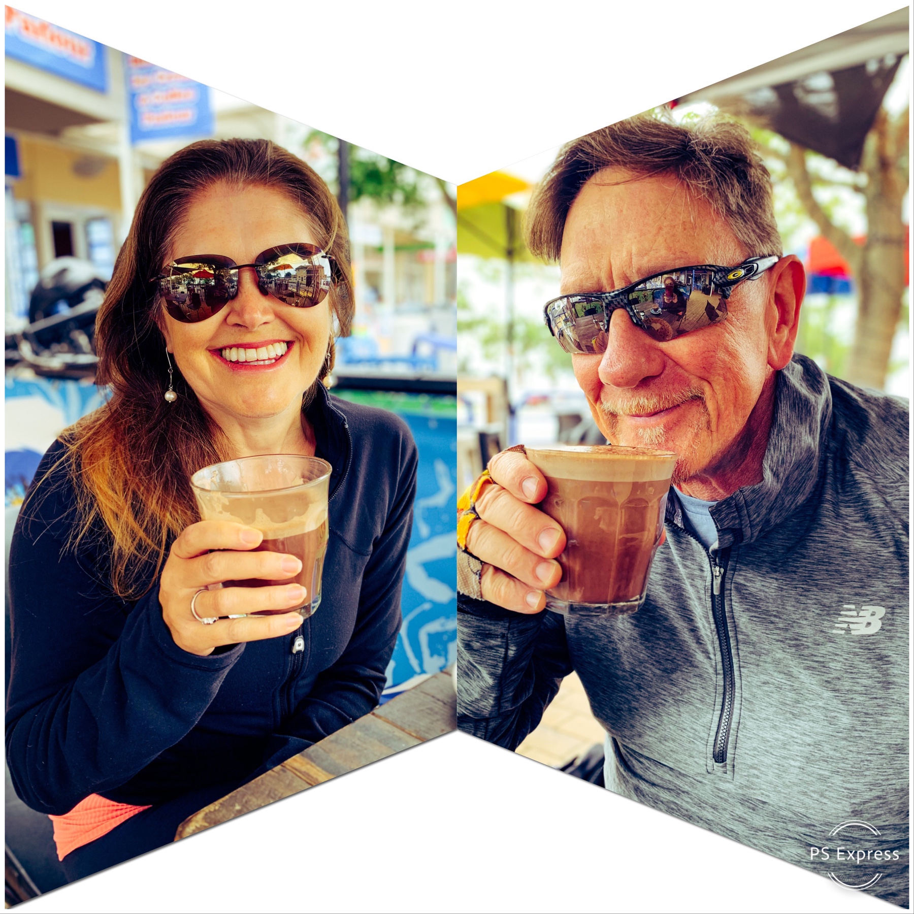
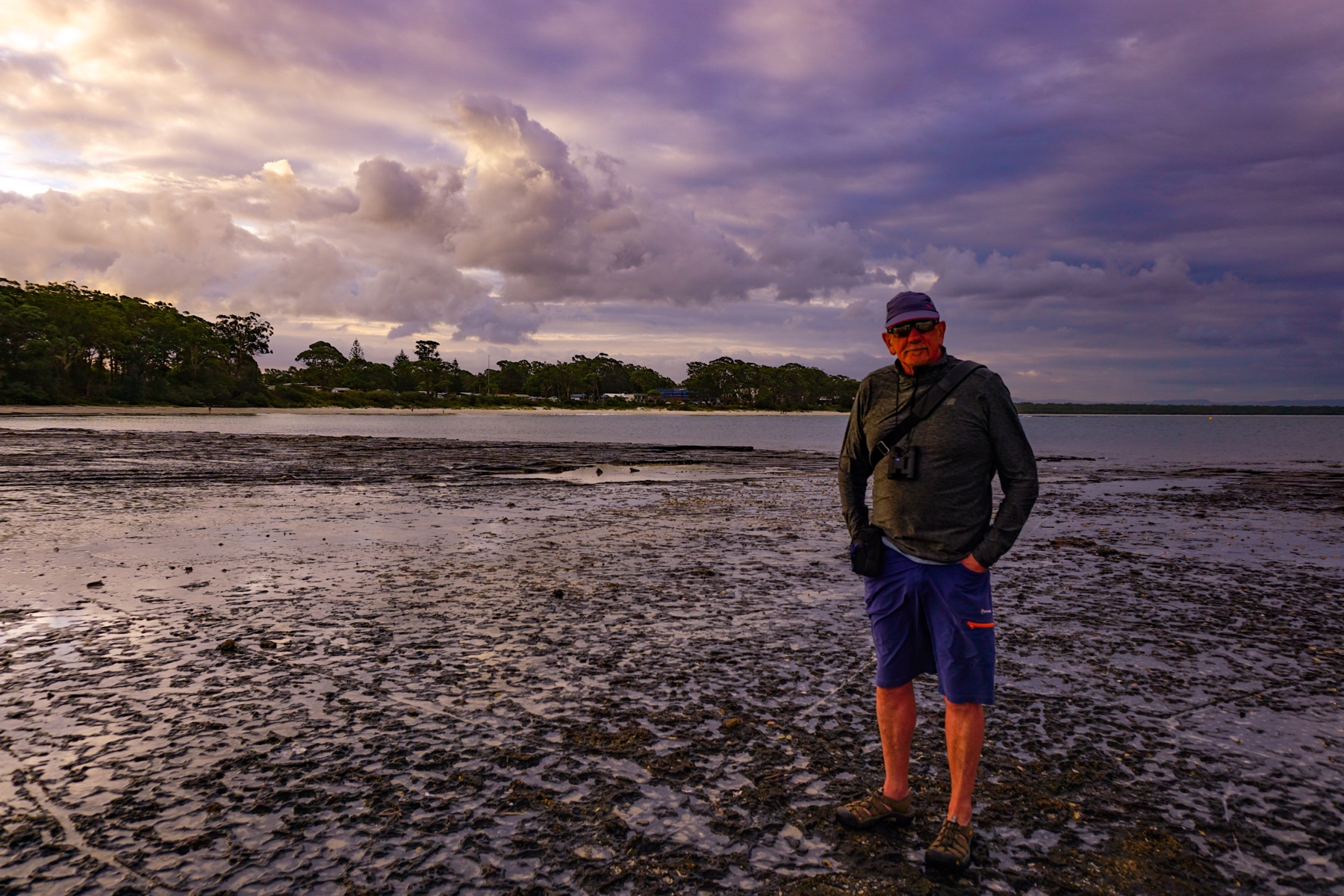
Friday: We managed a short 13km cycle along Jervis Bay’s shoreline shared path, with a hot chocolate reward for our minor efforts:
Half way along our ride the grey skies part to allow fingers of sunlight to beam down onto the bay
Nice to wrap up warm and enjoy a hot drink
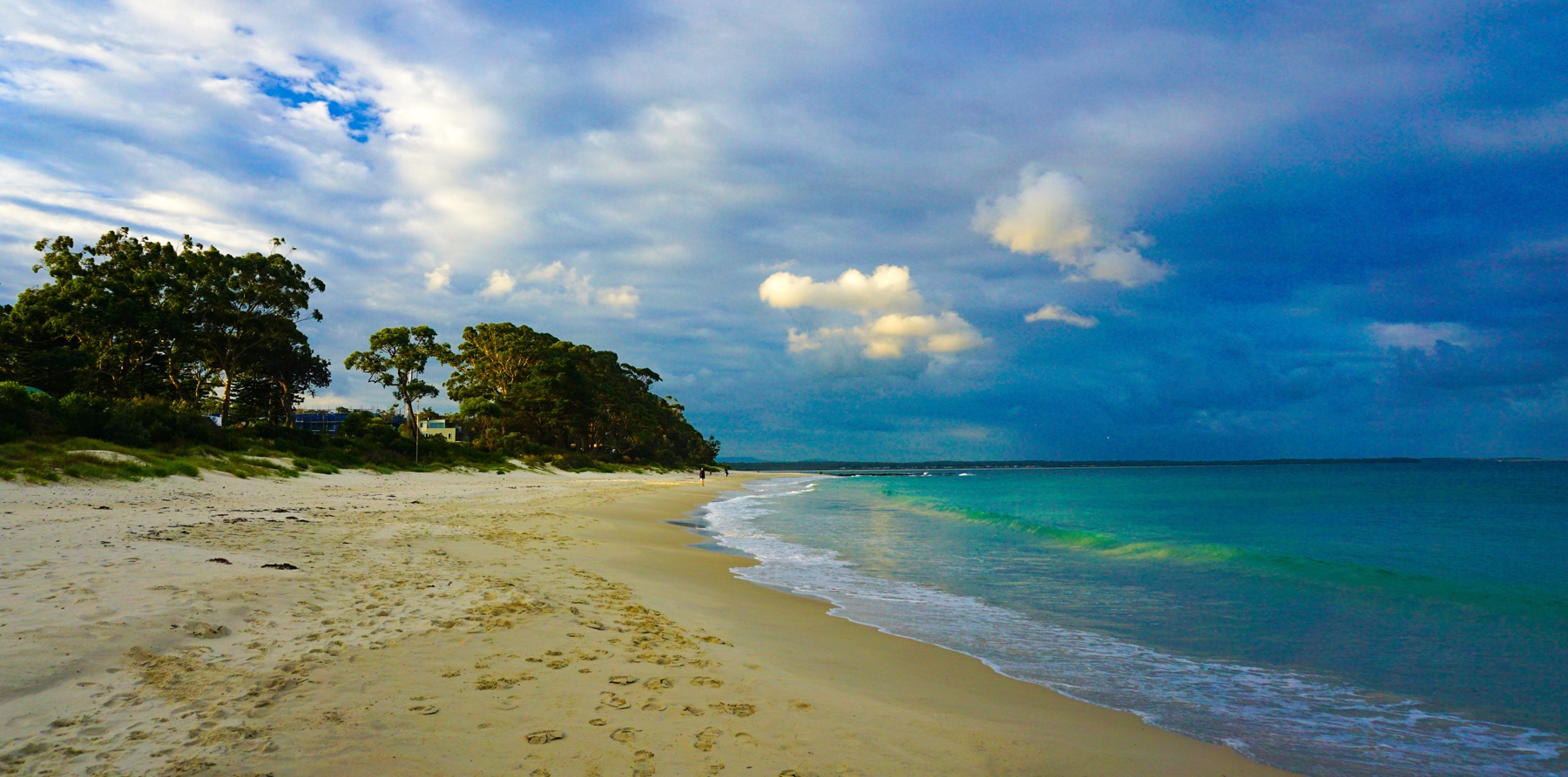
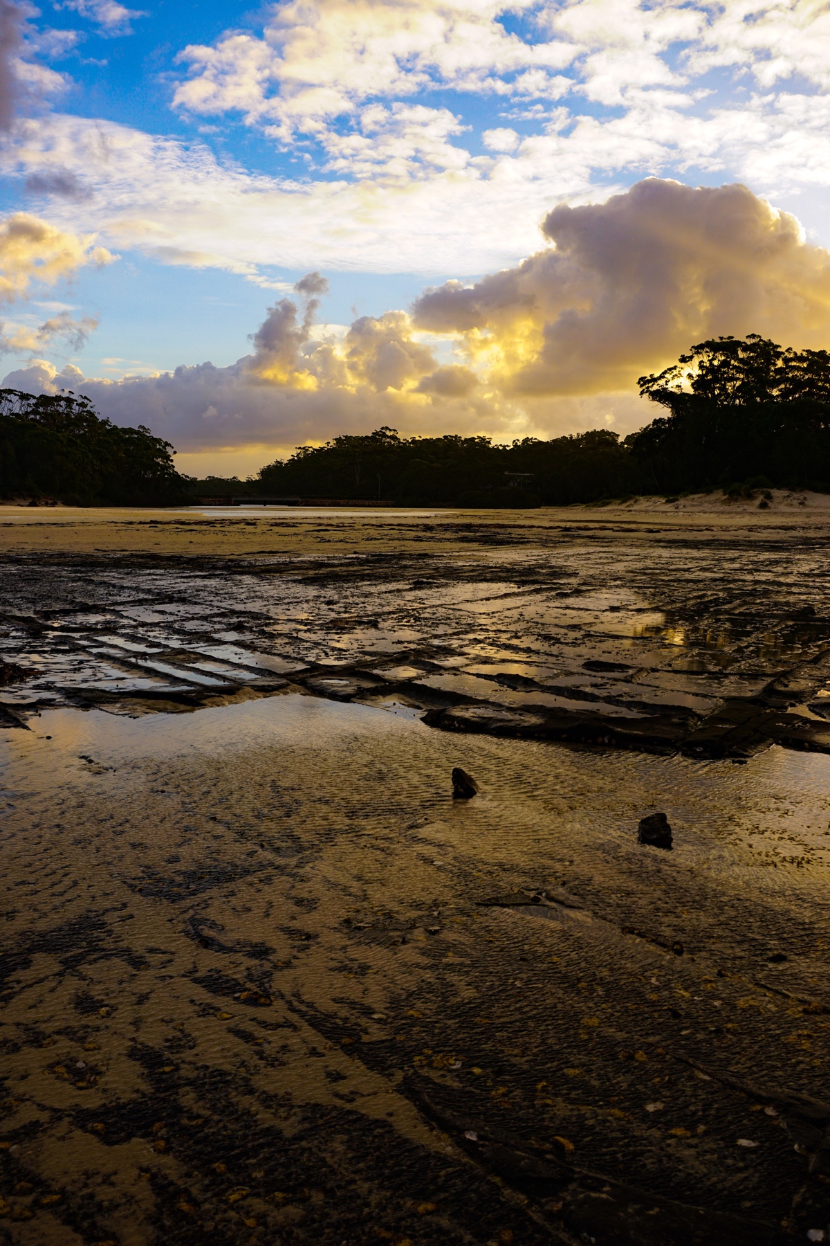
The late afternoon cleared allow for a fabulous sunset:
The last sunbeams catch a turquoise wave as it breaks on the shore
Grid-like rock pools at the water’s edge reflecting the sunlight
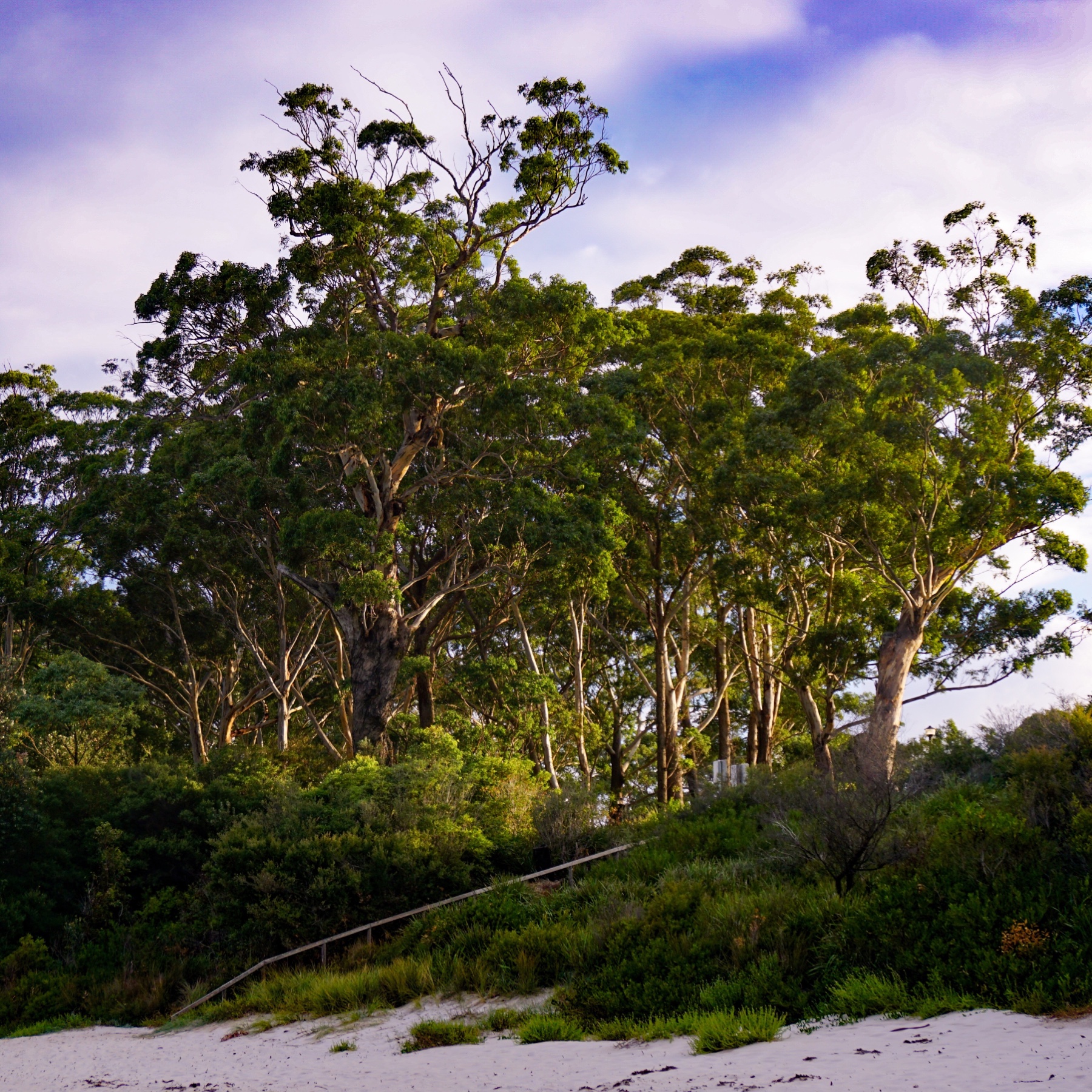
A copse of gum trees catching the last of the light
We’ve not seen the sun all day, but still it goes down
Sunset
Time to go back to the Zone for dinner!
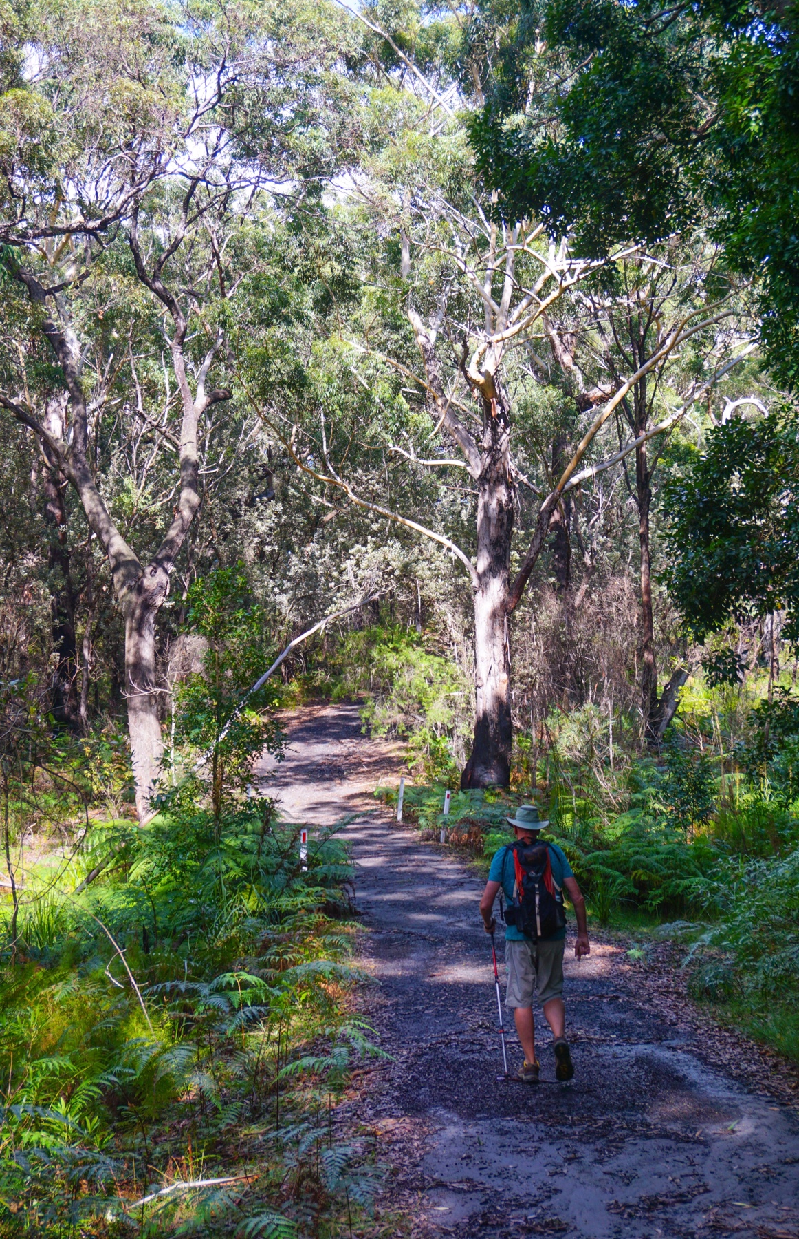
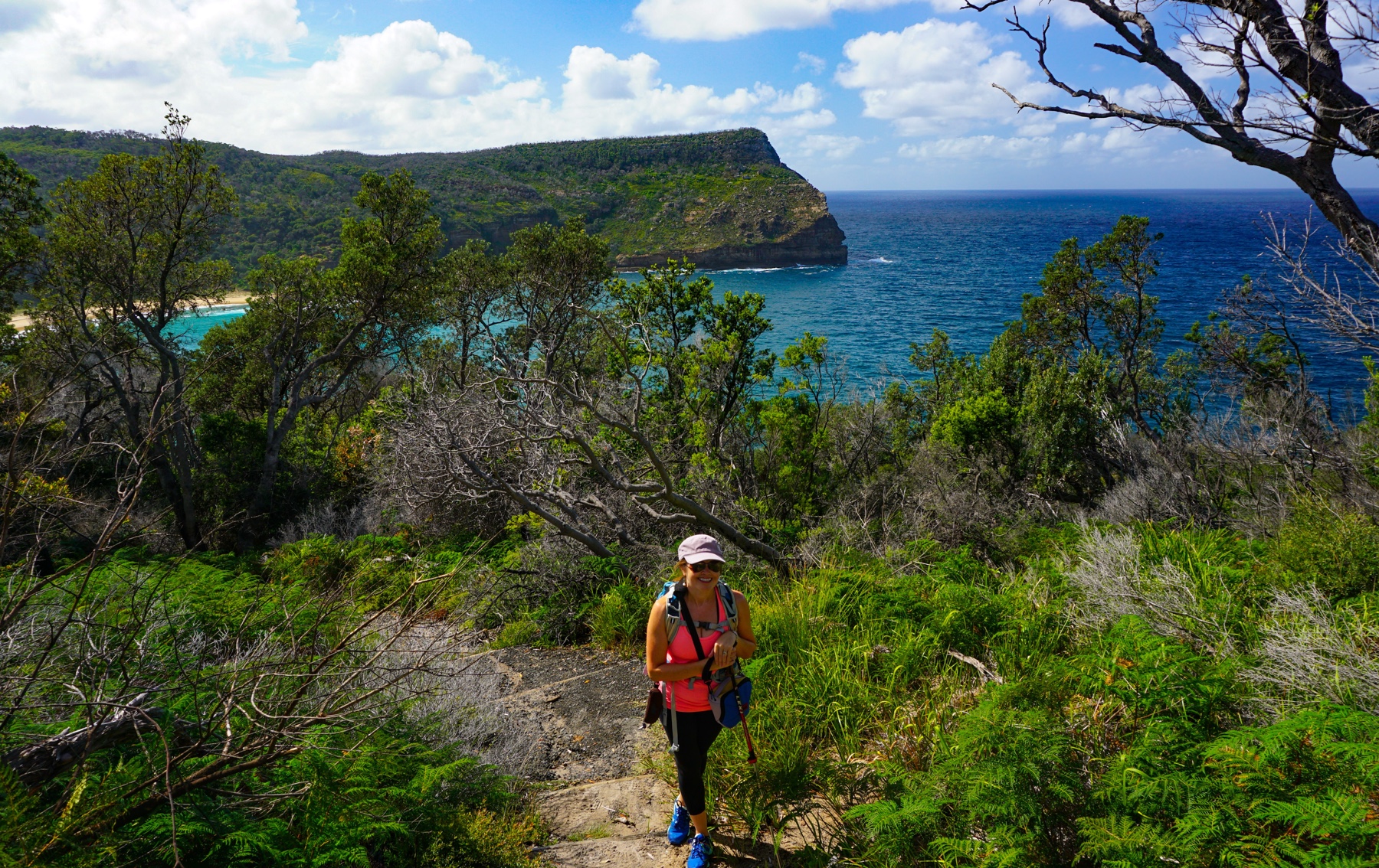
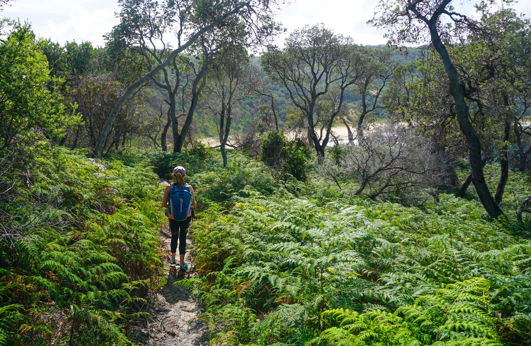
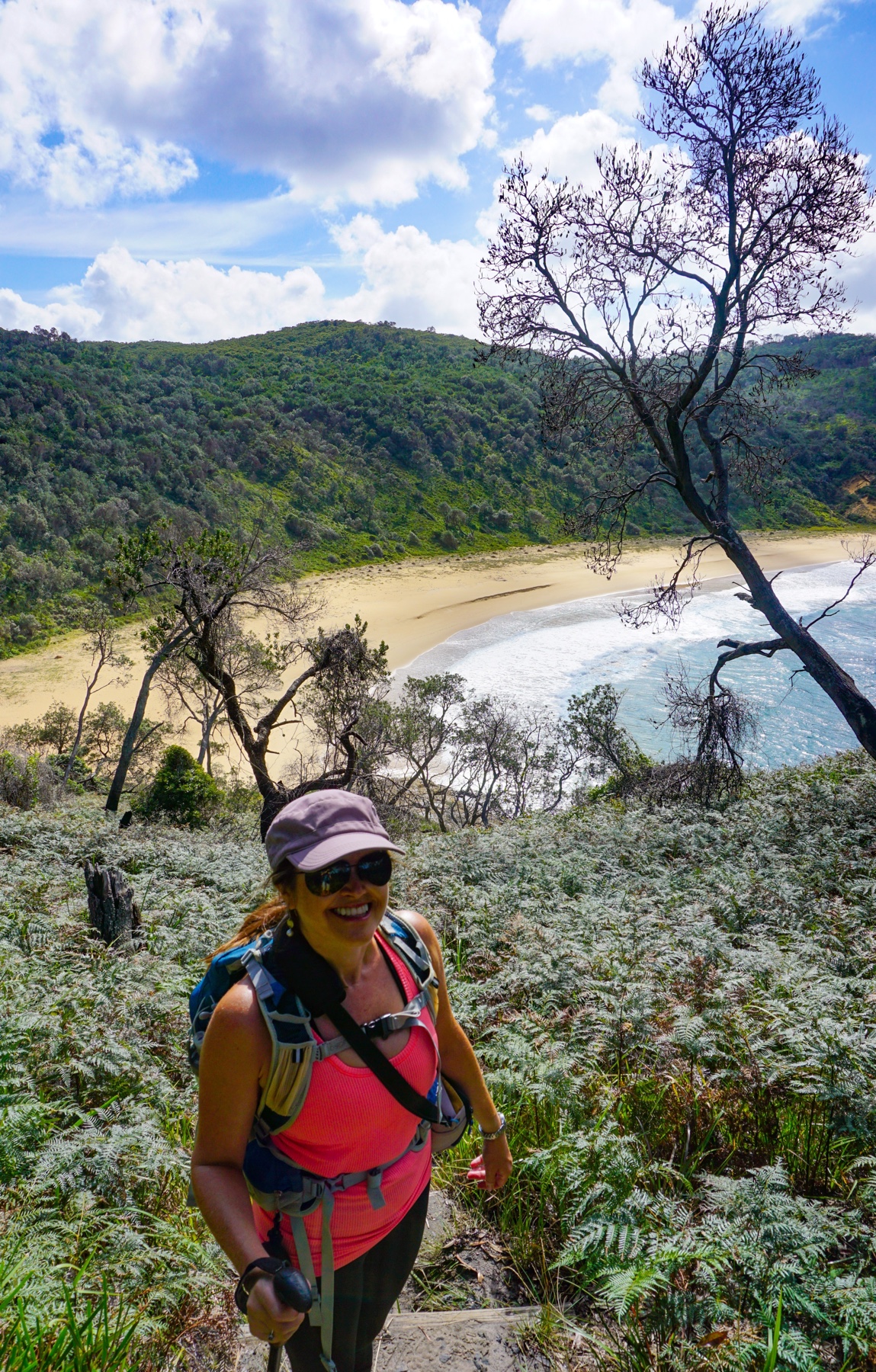
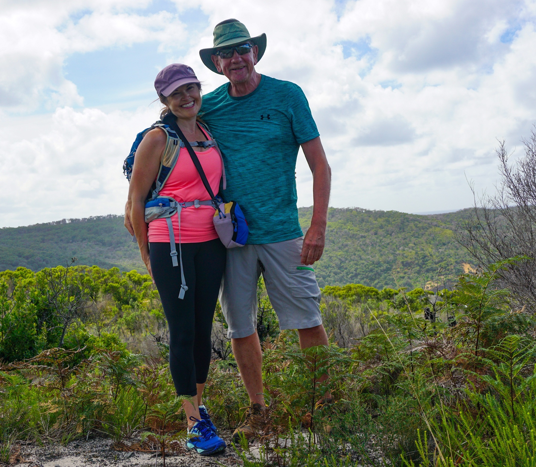
Saturday: After a couple of days of little activity we were getting a bit van crazy, so drove into Booderee National Park to tackle one of the longer circuit walks. Booderee translates as “Bay of Plenty” in the local language of the Koori people, who have now been handed back this land to continue with over 20,000 recorded years of custodianship.
Well, didn’t we get lucky with the weather. The park was looking fabulous, all glistening and shiny with the foliage recently washed clean.
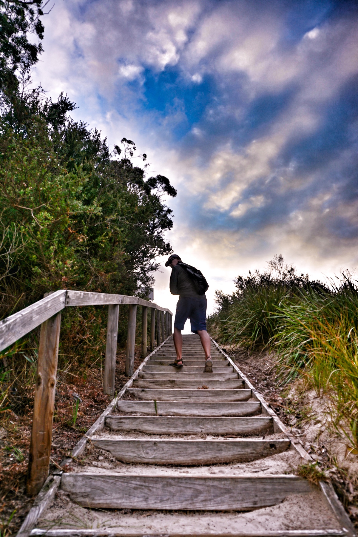
Setting off from Steamers Beach Car Park
Walking down towards Steamers Beach
The ferns gleaming in the sunlight after their wash in the rain last night
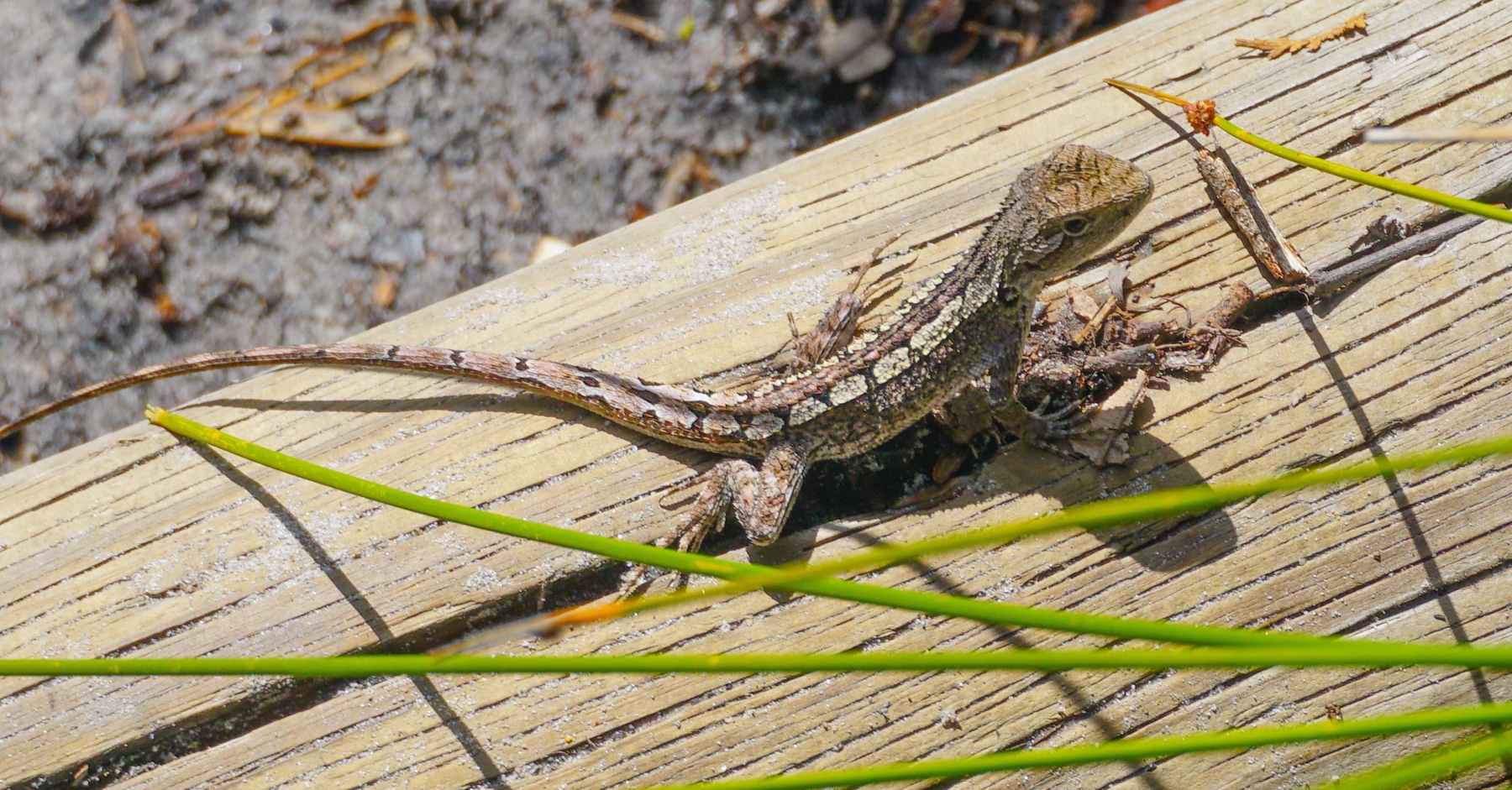
A Jacky Lizard also seems pleased to see the sunlight, and wasn’t keen to move off the step to let us pass
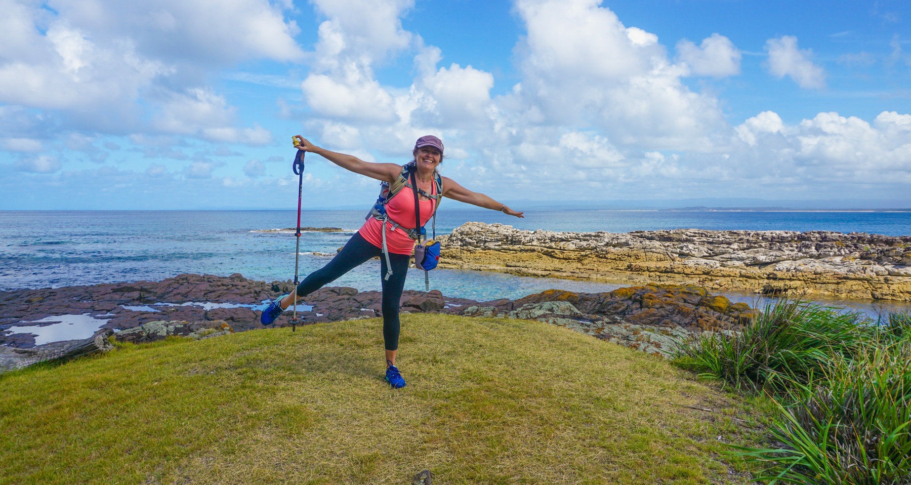
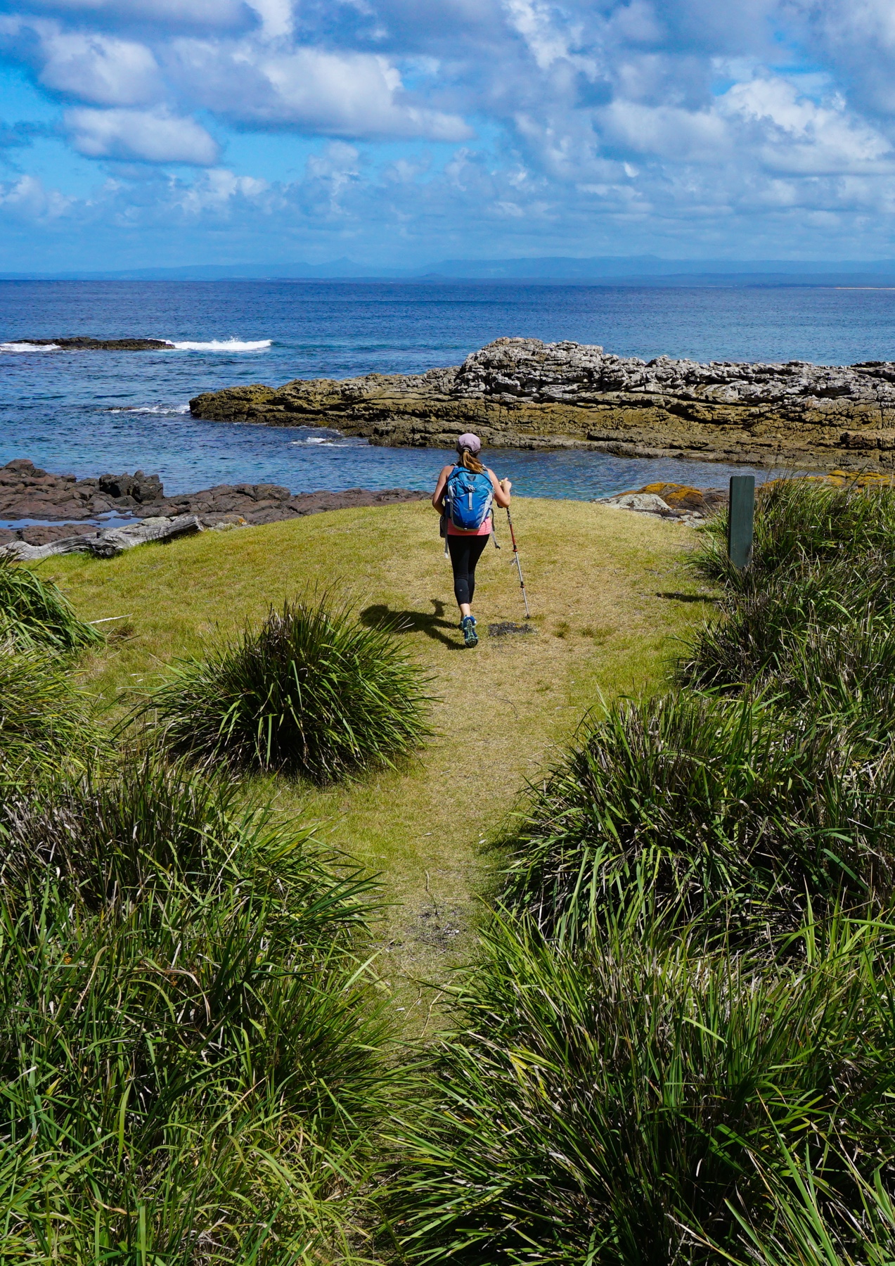
Mrs A on the walk down to Steamers Beach – with another 10km left to hike we decided against going all the way down and back again
There wasnt a heap of birdlife, but plenty of wallabies bounding around. The flora certainly looks like it has recovered pretty well with the lush cover back after the devastating fires of Christmas 2001. We drove back from Tasmania through the area a few weeks after those fires and both shed tears for all the animals burned to death in the inferno that took 400 firefighters to get under control.
In 2017 fire once again ravaged the park. You can still some some of the impact, but it once again is looking mostly healthy. As for species lost, then it is not such a happy story. Since 2004 a monitoring program has been in place and sadly has seen local extinction of some glider species and the “common” ringtail possum. Inexplicably mammals in both fire affected and non-affected areas seem to have suffered. Researchers are at a loss. My uninformed view – this is a pattern we are seeing all over Australia as climate events become more extreme and humans continue to encroach on habitat at a shocking pace. You may have seen the more alarmist articles that are predicting complete ecosystem collapse as insect numbers fall drastically.
On that cheery note check out some of these fab photos from the ever talented Mrs A!
Mr & Mrs at the lookout
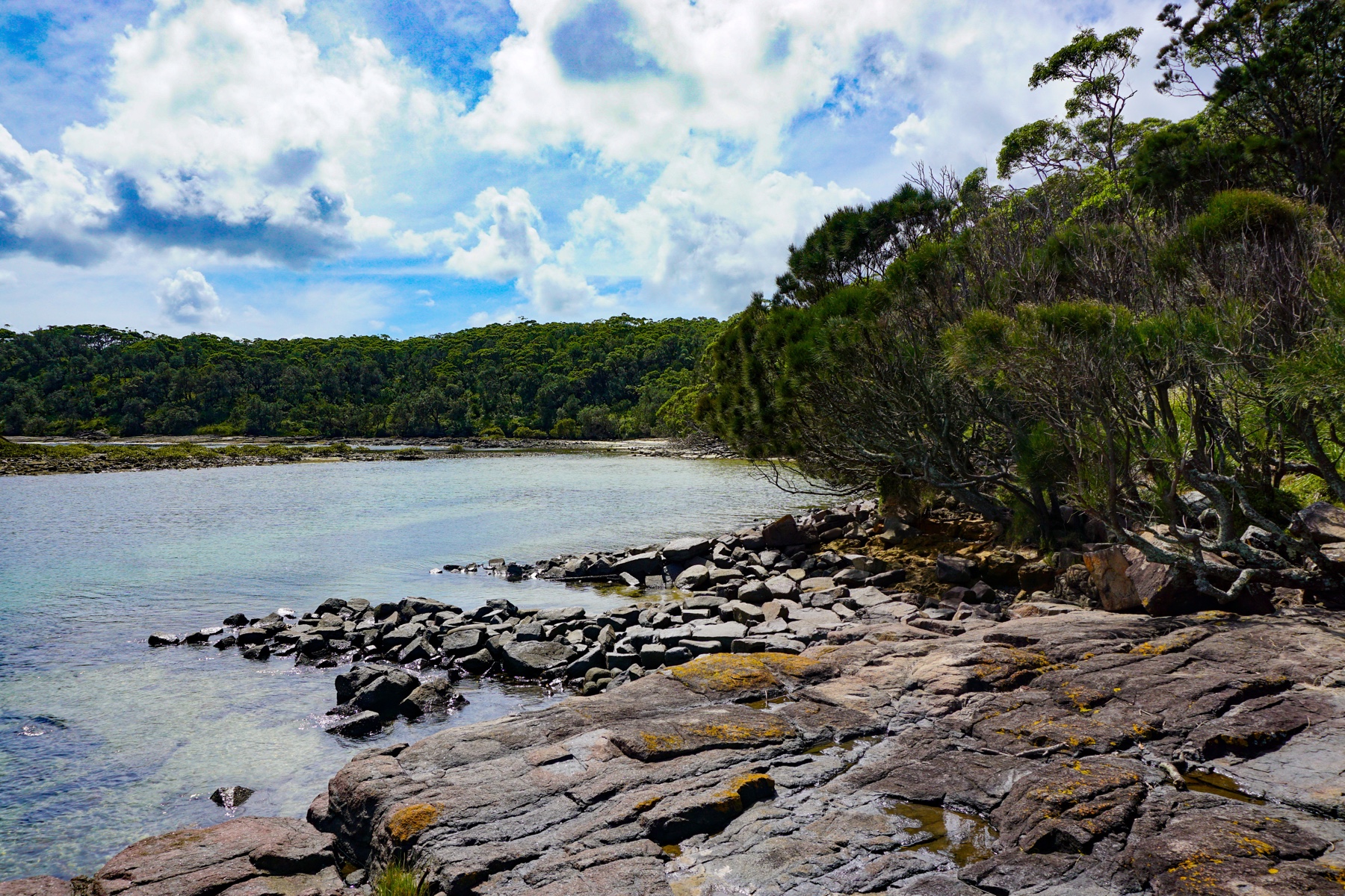
The beautiful Blacks Harbour – named for the aboriginal residents
Apple time at Blacks Harbour
Such a picturesque location
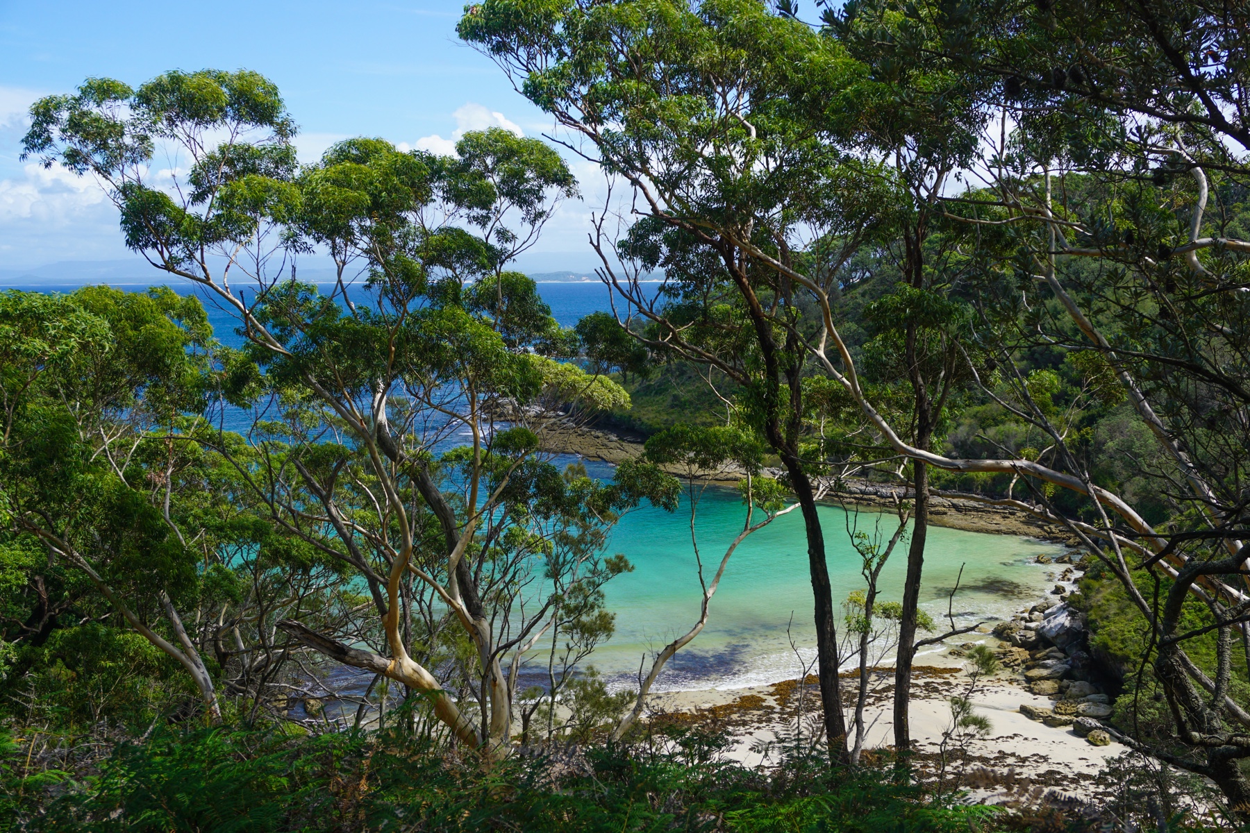
Would be great snorkelling here
Calm waters with Caves Beach just around the headland, popular with surfers
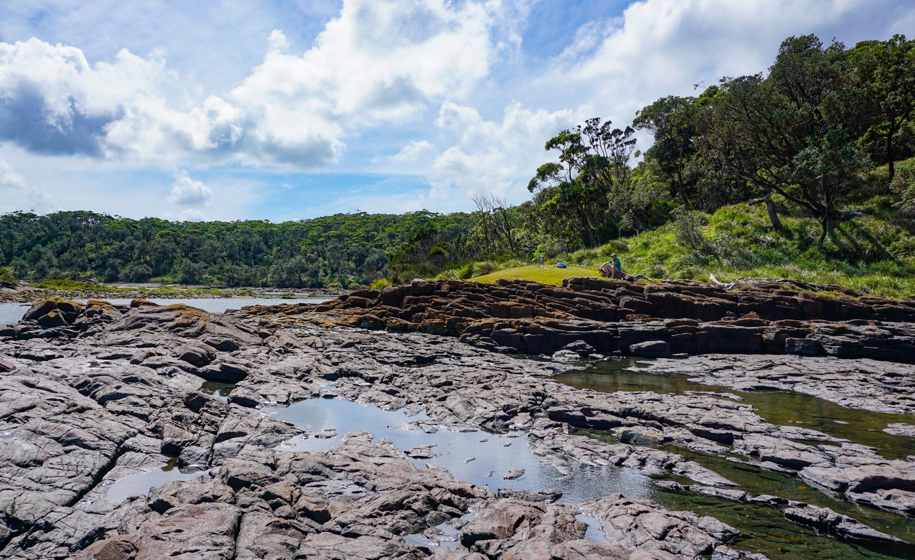
Could spend hours checking out these rock pools, full of little fish
Another bay, further around – the water looking amazing through the trees
We always love visiting this area – this was where I proposed to Mrs A back in September 2000 after all – and we will definitely be back again. We just love how we are still able to find something new in the region every time we come, whatever the weather.


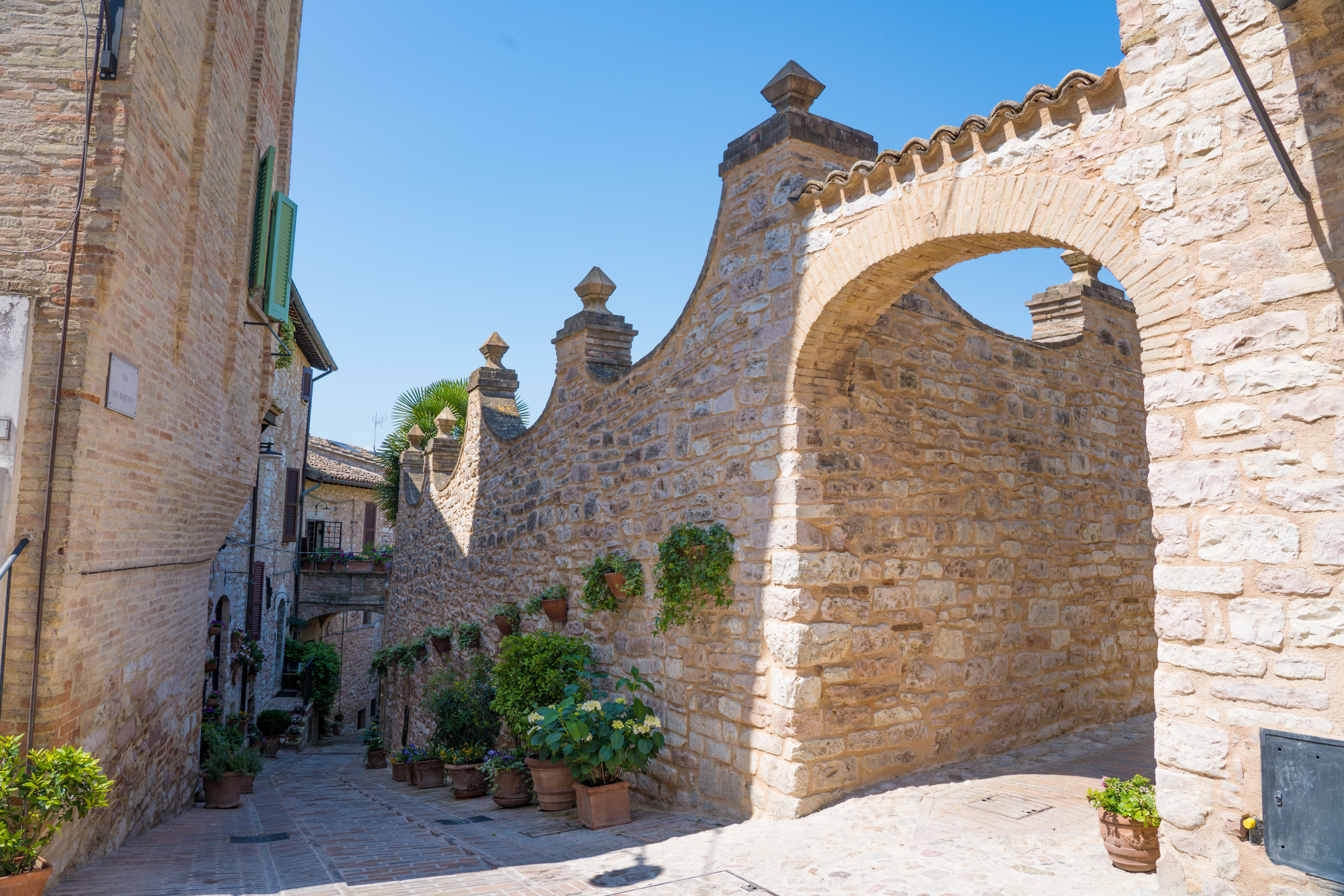


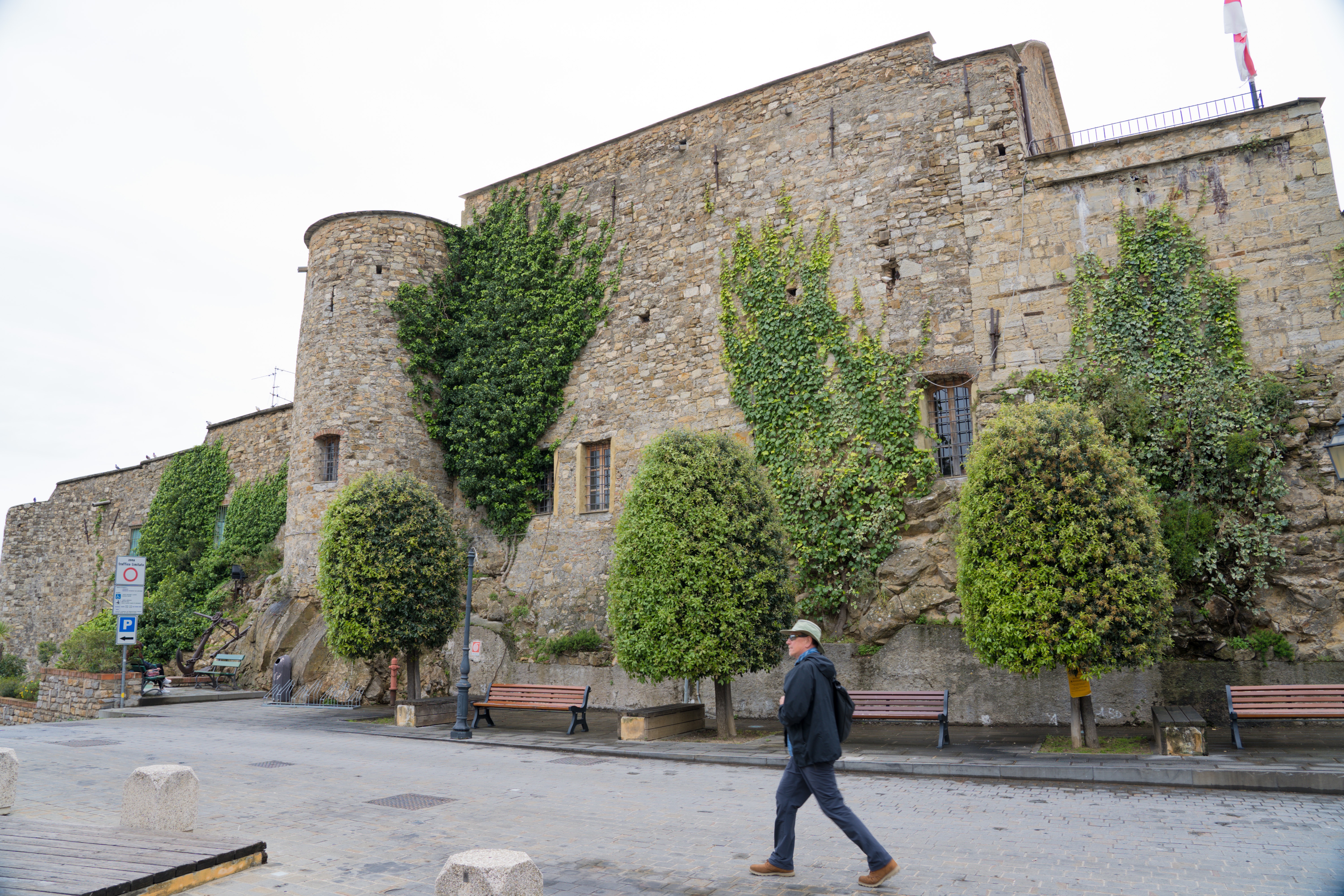 Fortified walls evident at the top of the village